Colorado 14ers: La Plata Peak

-Mapped by Timm Paxson
Trail Facts
- Distance: 5.8
Waypoints
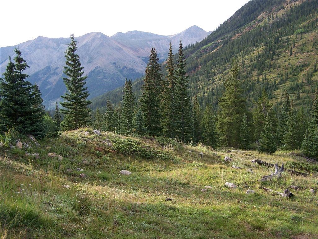
Views near the trailhead
Location: 38.9937133789062, -106.471366882324
©Timm Paxson
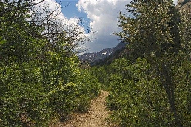
Views from the trail
Location: 39.0028457641602, -106.480224609375
The trail climbs into this valley, which is southwest of La Plata.
©Timm Paxson
Rocky ridges
Location: 39.0084991455078, -106.481246948242
The trail eventually climbs to the lowest part of the ridge in the middle of the photo.
©Timm Paxson
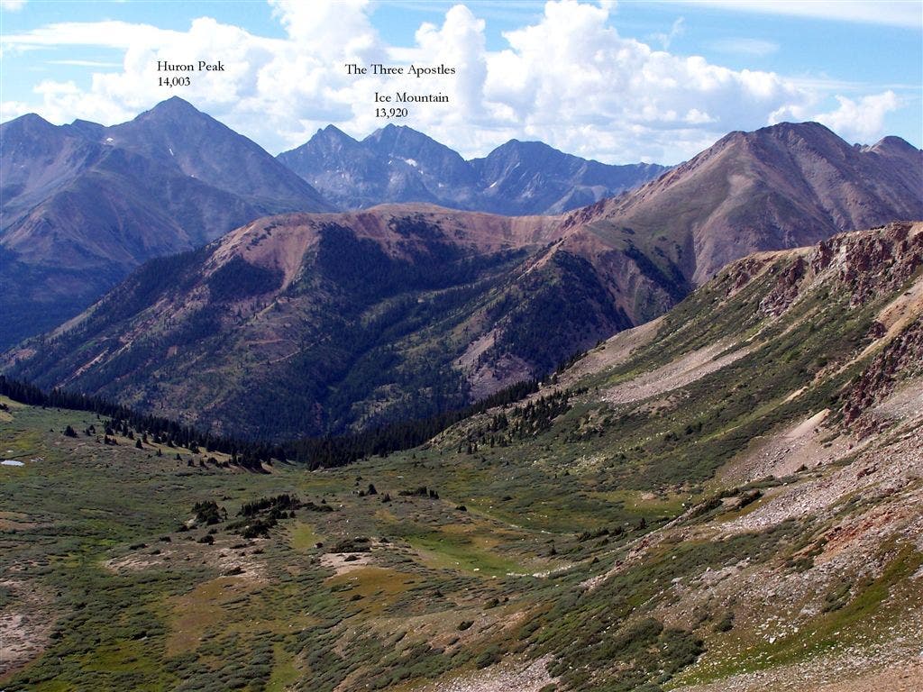
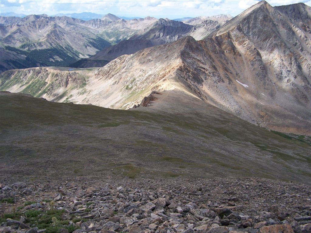
Saddle views
Location: 39.0136795043945, -106.487716674805
From the saddle looking south. In the distance you can see Huron Peak and the Three Apostles.
©Timm Paxson
Final summit push
Location: 39.0249214172363, -106.47974395752
©Timm Paxson
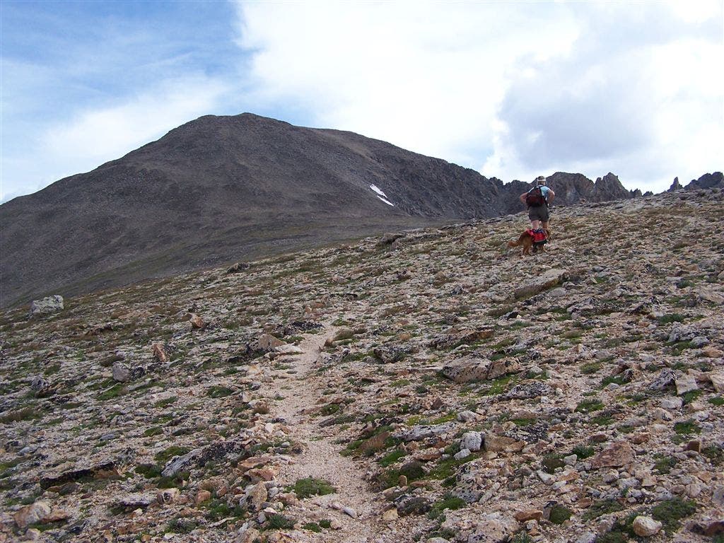
Southwest views of La Plata’s broad ridge
Location: 39.0173606872559, -106.484451293945
©Timm Paxson
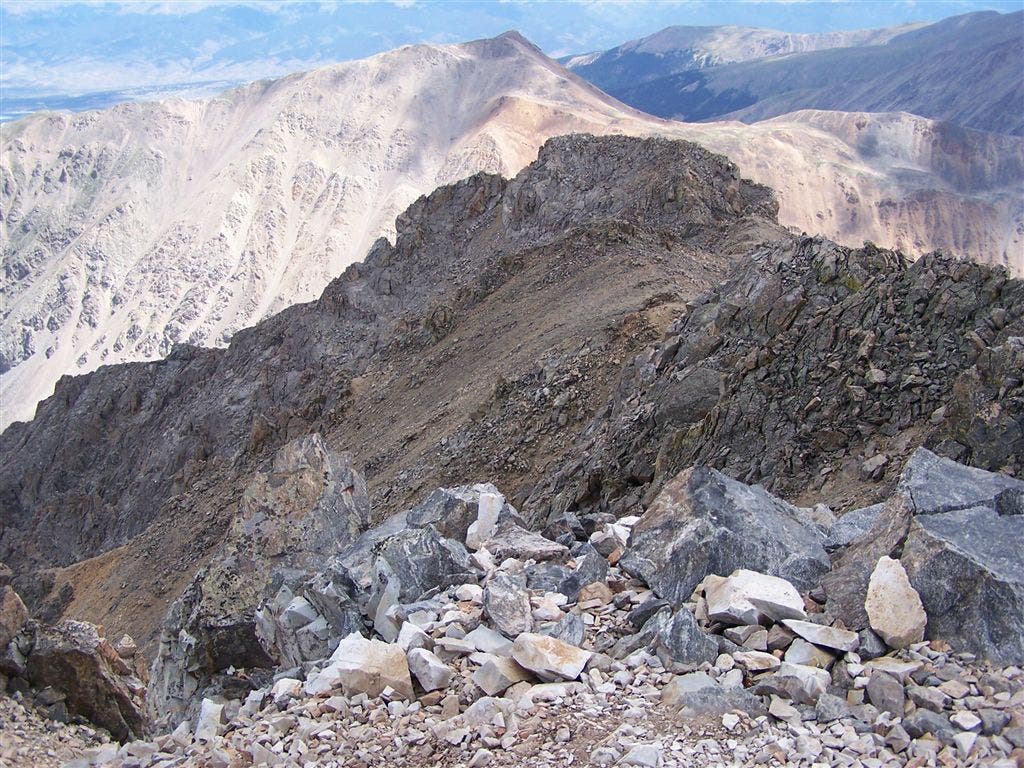
Ellingwood Ridge
Location: 39.0294876098633, -106.472999572754
Views to the east of the Ellingwood Ridge as it joins the summit of La Plata.
©Timm Paxson
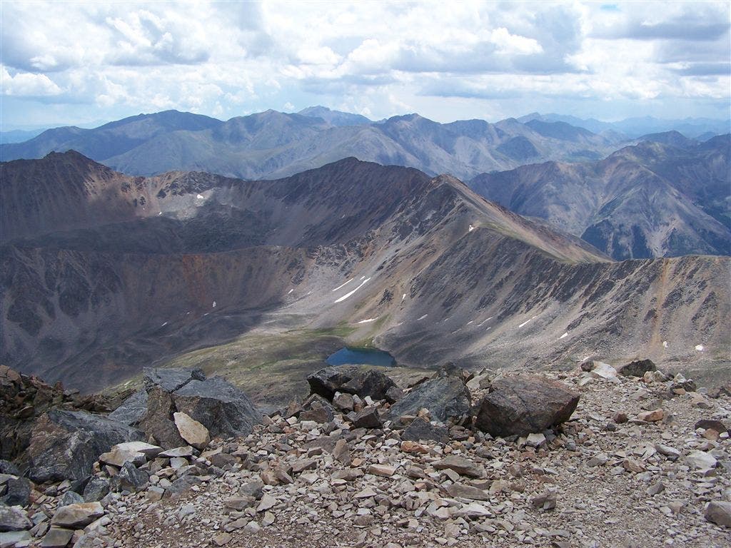
La Plata’s summit views
Location: 39.0294189453125, -106.472999572754
Crystal Lake can be seen to the southeast.
©Timm Paxson
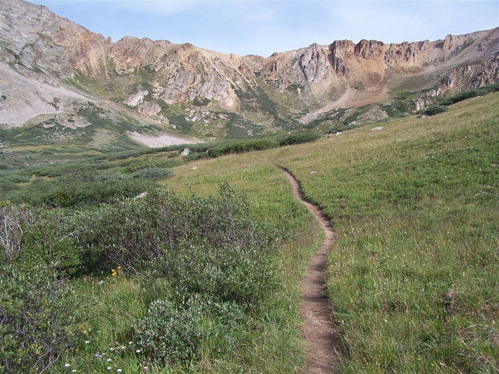
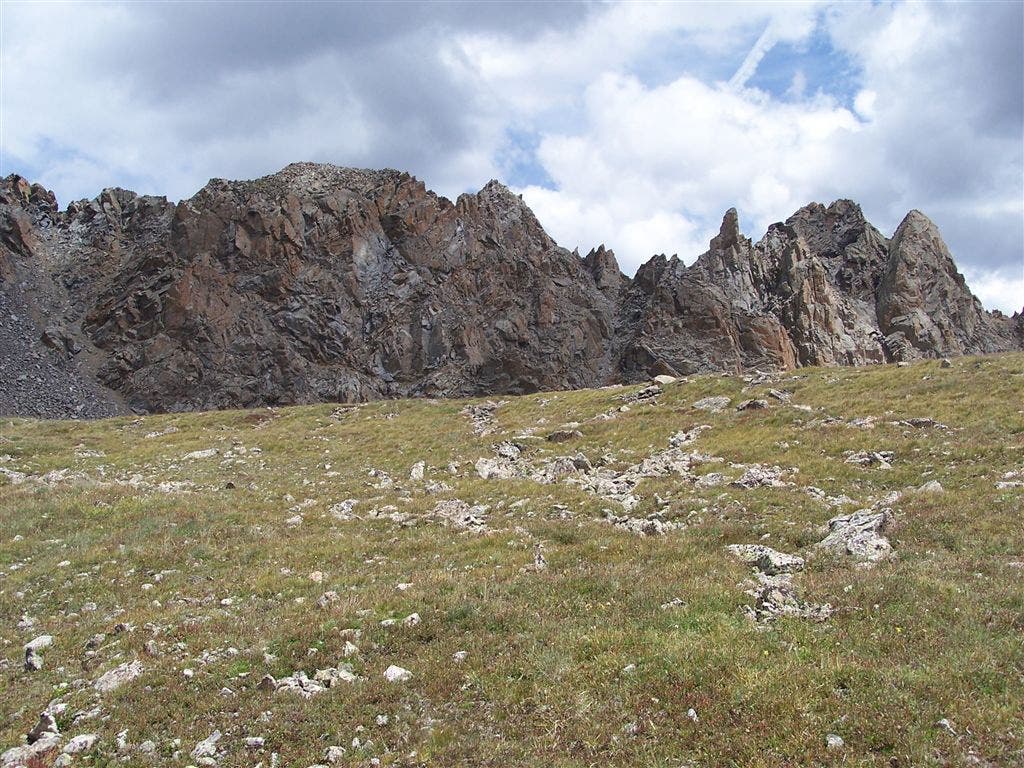
Tundra views
Location: 39.0097274780273, -106.481994628906
Jagged ridges can be seen from the tundra meadow below La Plata’s southwest face.
©Timm Paxson
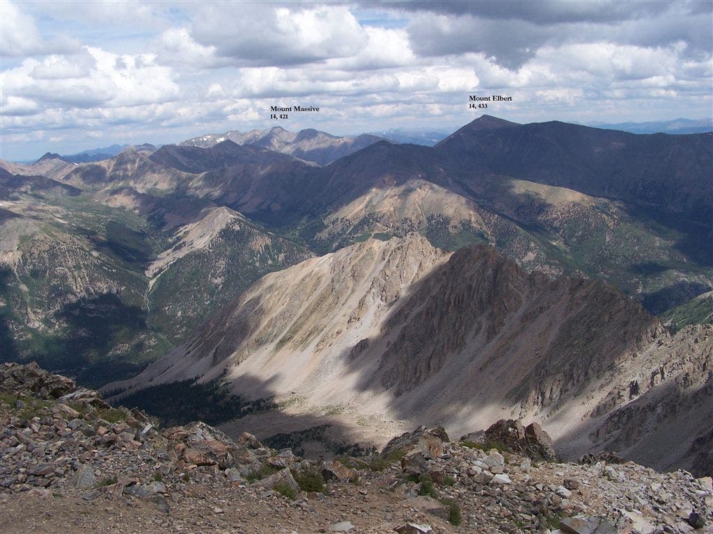
Northern summit views
Location: 39.0294876098633, -106.472999572754
Mounts Elbert and Massive rise to the north. Ellingwood Ridge is visible in the foreground running from center to right.
©Timm Paxson
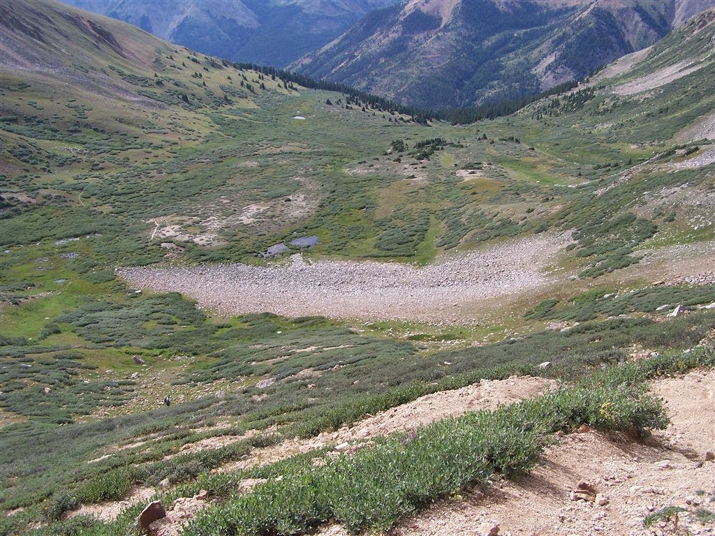
Valley views
Location: 39.0142250061035, -106.487991333008
Looking south down into the small valley from the top of the saddle.
©Timm Paxson
PLA001
Location: 38.9939193725586, -106.471435546875
From 4WD parking area, head N toward the trailhead
PLA002
Location: 38.9945220947266, -106.471290588379
From the trailhead, follow trail as it curves to the NW across evergreen-covered slopes; in 200 ft., cross a stream
PLA003
Location: 38.9971542358398, -106.475410461426
Continue NW ascent from the North Fork of the Clear Creek into a smaller valley nestled under steep, rocky slopes; a stream trickles down on L
PLA004
Location: 39.0029067993164, -106.480186462402
Climb N into the upper valley; dirt trail leads you through open, grassy slopes spotted with boulders
PLA005
Location: 39.0102577209473, -106.482627868652
Stream crossing; continue NW
PLA006
Location: 39.0117530822754, -106.483856201172
Steady legs for steep climb to the NW over rocky slopes
PLA007
Location: 39.0142517089844, -106.487922668457
Turn R on La Plata’s broad SW ridge; begin climb through alpine tundra
PLA008
Location: 39.017765045166, -106.483833312988
Pass 13,000 ft. and continue NE
PLA009
Location: 39.0215873718262, -106.481590270996
Head N
PLA010
Location: 39.0266075134277, -106.478820800781
Pass 14,000 ft.; cairns mark the route for final summit push over loose rock to the summit
PLA011
Location: 39.0293655395508, -106.473693847656
Head E from false summit
PLA012
Location: 39.029468536377, -106.472953796387
La Plata Peak (14,336 ft.): Take in views of the Sawatch Range from Colorado’s 5th highest peak; Missouri Mtn., Mt. Belford and Mt. Oxford rise to the SE; Twin Lakes Reservoir lies to the NE; retrace route