Cleveland, OH: Slippery Rock Gorge Trail

Mapped by Mike Ciccone

Trail Facts
- Distance: 9.2
Waypoints
SRG001
Location: 40.9314766, -80.2403717
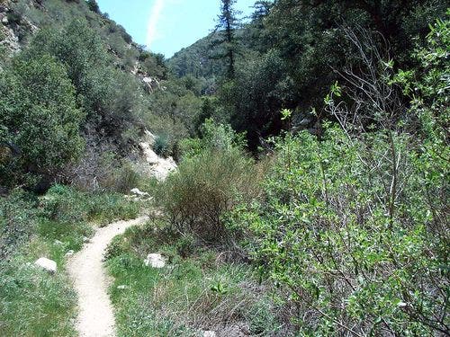
Hike E, cross bridge, bear L @ Y onto Slippery Rock Gorge Trail. Caution: Terrain is steep, rocky, and sometimes slick
SRG002
Location: 40.9316216, -80.2367172
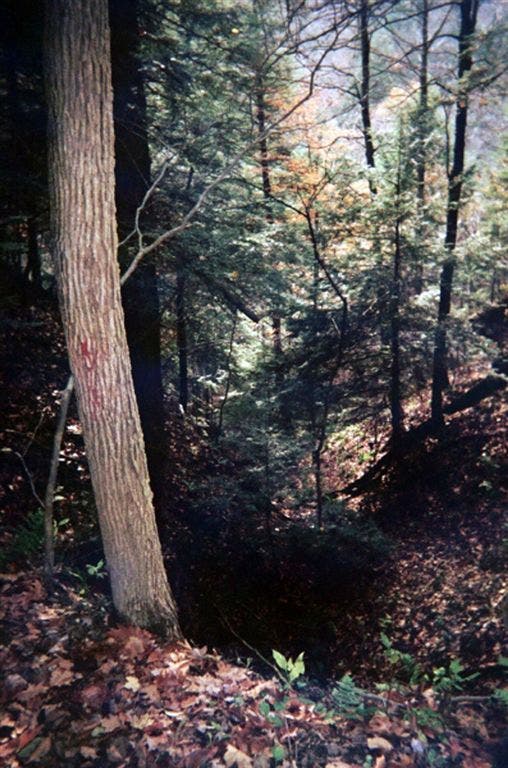
Cross ravine on wooden bridge, passing oaks and hemlocks. Trail dips and climbs along Hell Run
SRG003
Location: 40.9271889, -80.2262573
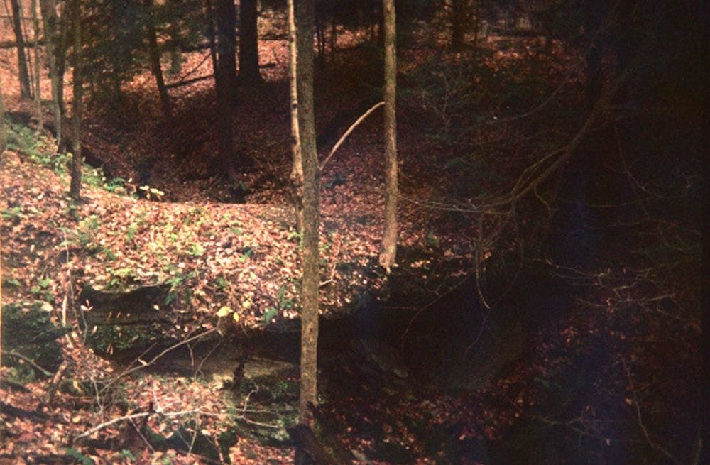
Trail curves L, tracing cliffs that rise from creekbed on R. In .2 mi., traverse natural limestone bridge that spans gully
SRG004
Location: 40.9251709, -80.2222977
Pass limestone bridge on R. Waterfalls and mosscovered trees ahead
SRG005
Location: 40.9209709, -80.2192764
Cross small tributary creek before beginning steep ascent
SRG006
Location: 40.9166107, -80.2150269
Turn hard L (NE) into Slippery Rock Gorge. In 100 yds., trail veers L and climbs steep log steps
SRG007
Location: 40.9217911, -80.2077408
Switchback down to small ravine
SRG008
Location: 40.9246254, -80.1896973
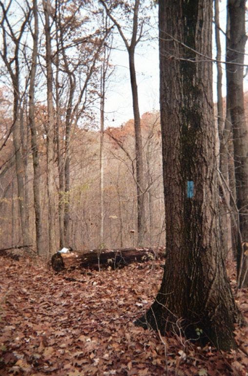
Trail climbs N above creek. Note: Overgrown trail hides faded blue blazes
SRG009
Location: 40.9316292, -80.1912537
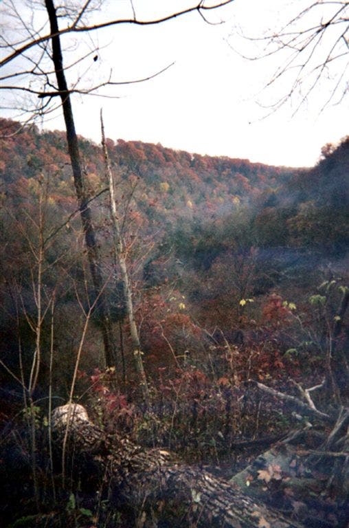
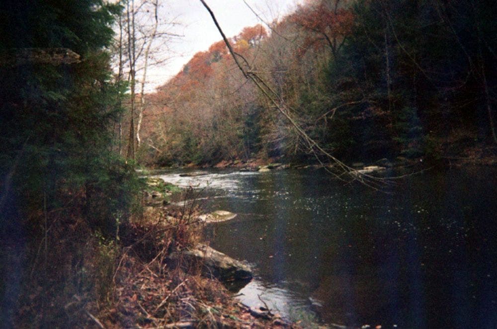
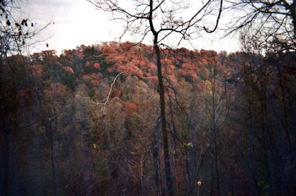
Views extend across wooded gorge and down to Slippery Rock Creek
SRG010
Location: 40.93536, -80.1868668
Trail crosses creek bottom, then leads R. In 200 ft., trail turns R
SRG011
Location: 40.9366608, -80.1855392
Ford tributary stream; another bridge crossing ahead
SRG012
Location: 40.9405136, -80.1765594
Trail ends @ Eckert Bridge; turn around and retrace steps
Trailhead
Location: 40.9314346, -80.2399597
Blue Blaze
Location: 40.9310532, -80.2343063
Wooded Ravine
Location: 40.9272232, -80.2257919
Natural Bridge
Location: 40.924736, -80.2218628
Wooded Hills
Location: 40.9184189, -80.2121048
Slippery Rock Creek
Location: 40.9219589, -80.1988907
Fall Colors
Location: 40.9248314, -80.1896057
Trail Sign
Location: 40.9405289, -80.1764984