Published September 20, 2013 03:30PM
Chicago: Waterfall Glen
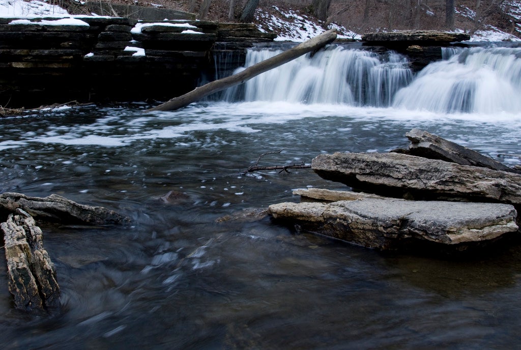
This preserve offers plenty of big city escape. Shady forests, gentle waterfalls, and a lofty vista over the Des Plaines River are just a few stops along this 10.1-mile multi-use loop.
'Brian Jelonek'
Trail Facts
- Distance: 13.7
Waypoints
WGL001
Location: 41.7249374389648, -87.9736480712891
Head W on trail past fire ring
WGL002
Location: 41.7191200256348, -87.992317199707
4-way @ Kearney Rd.; continue W on limestone path
WGL003
Location: 41.7133369445801, -88.0017318725586
Westgate Rd.: Cross road and travel roadside SE 450 feet to trail
WGL004
Location: 41.7115325927734, -88.0031585693359
Stay L, heading S onto Kettle Hole Trail
WGL005
Location: 41.7010536193848, -88.0014114379883
Turn L
WGL006
Location: 41.6981010437012, -87.9950942993164
R onto Bluff Road; airfield clearly visible to E
WGL007
Location: 41.6968231201172, -87.9952392578125
Turn L onto limestone path
WGL008
Location: 41.6931419372559, -87.983154296875
L @ T; hilltop looks over Des Plaines River
WGL009
Location: 41.7048645019531, -87.9645462036133
Peer NW down gorge to waterfall
WGL010
Location: 41.7057991027832, -87.9650268554688
Waterfall cascades over rocky runway
WGL011
Location: 41.7066650390625, -87.9595642089844
Stay L around parking lot
WGL012
Location: 41.7235107421875, -87.970703125
Veer L @ T with Cass Ave, heading NNW back to trailhead