Published September 20, 2013 03:15PM
Chicago: Red Gate Woods - West Loop
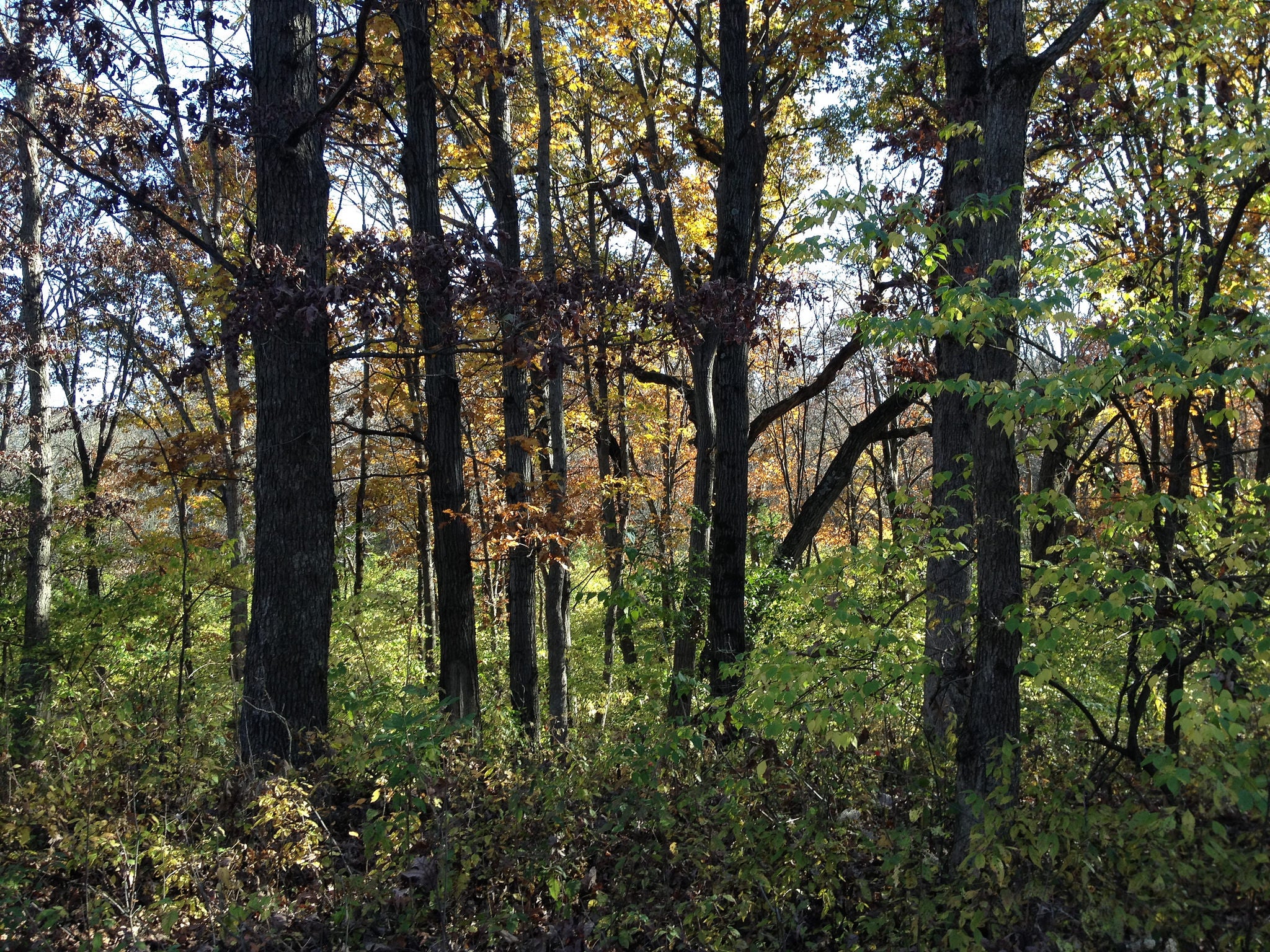
Escape the Windy City on this easy 5.9-mile hike through a beautiful hardwood forest into ravines carved by glaciers more than 10,000 years ago.
'David Wilson'
Trail Facts
- Distance: 9.2
Waypoints
01
Location: 41.7104301452637, -87.913200378418
Trailhead. Veer R, heading SW
02
Location: 41.705680847168, -87.914176940918
Bear R @ Y
03
Location: 41.7044715881348, -87.9141616821289
After stone bridge, turn R @ 3-way along ravine
04
Location: 41.7029800415039, -87.9249267578125
Turn R @ 3-way; hike uphill
05
Location: 41.6983337402344, -87.922607421875
Bear R @ Y; climb over small ridge
06
Location: 41.6970863342285, -87.9215698242188
Turn hard L @ Y; good view of nearby ravine
07
Location: 41.6984329223633, -87.9207534790039
Turn R @ T, dropping into the ravine
08
Location: 41.698787689209, -87.9201354980469
Bottom of ravine; turn L @ T
09
Location: 41.6983757019043, -87.9174499511719
Turn L @ T
10
Location: 41.6985282897949, -87.9035568237305
Turn L @ T
11
Location: 41.7021636962891, -87.9044723510742
Turn L @ 4-way
12
Location: 41.7016067504883, -87.9101181030274
Bear R @ Y; one of the world’s first two nuclear reactors, built by physicist Enrico Fermi in the early 1940s, is buried here
13
Location: 41.7024154663086, -87.9103164672852
L @ T
14
ADVERTISEMENT
Location: 41.705680847168, -87.914176940918
Bear R @ Y
15
Location: 41.7067375183106, -87.9110260009766
L @ T; monument marks nuclear burial site; walk .3 mi. back to trailhead