Chicago, IL: Starved Rock West Side

This 2.7-miler is an introduction to Starved Rock’s more than 18-mile trail system and hits many of it’s highlights, including the park’s namesake bluff. Be prepared for lots of stair climbing—and sweeping views—on this undulating hike that begins at the visitors center near park headquarters.
The counterclockwise loop dips into French Canyon before climbing almost 100 feet up the East Bluff Trail. Peek between elms, oaks, and conifers for river views on the opposite shore as you wind east toward Wildcat Canyon. The overlook above Wildcat’s sheer walls is one of the most impressive in the park, plan to spend a few minutes enjoying the view before rounding Basswood Canyon’s upper lip and descending a long flight of steps alongside Lonetree Canyon at this loop’s eastern edge. Heading back alongside the river, this route bears right for several overlooks: Beehive, Eagle Cliff, and Lover’s Leap.
You’ll close the loop at mile 2.3, but this route adds on a short, 0.4-mile out-and-back to the top of Starved Rock. Though archeologists say human history in the area started 10,000 years ago, local lore pins the name of this rocky pedestal to an unfortunate conflict between the Illinois, Potawatomi and Fox tribes in the early 1760s. These days, a wooden boardwalk and a series of interpretive signs explain the history.
This popular hiking destination can be crowded, so if you’re looking for less traveled trails, consider hiking the park’s east side, or off-season visits. Also, expect to encounter plenty of trail junctions, particularly near this route’s start/finish point. Trails are well marked and color coded to indicate your direction of travel.
-Mapped by Ted Villaire


Trail Facts
- Distance: 4.3
- Miles from city center: 99
Waypoints
SRW001
Location: 41.320695, -88.992582
Start the hike on the paved path that runs on the left side of the visitor center. In just a few hundred feet, turn right, following signs for French Canyon and the lodge.
SRW002
Location: 41.319184, -88.992261
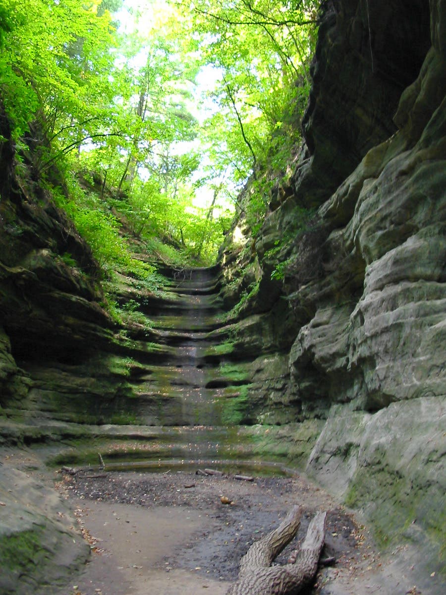
As the trail splits, bypass the lodge-bound stairs and continue to the back of French Canyon where the trail dead-ends in a chamber of layered sandstone. You’ll head east from the canyon toward a big climb.
SRW003
Location: 41.317774, -88.99077
The trails are well-marked, but especially near the visitors center, there are lots of options. This mapped route bypasses several marked trails and crosses this small bridge heading to the East Bluff Trail.
SRW004
Location: 41.317635, -88.989917
Stay to the right toward Wildcat Canyon at the 3-way junction. You’ll cruise atop smaller Pontiac Canyon en route to Wildcat. Look left for peek-a-boo views of the expansive Illinois River.
SRW005
Location: 41.316334, -88.982879
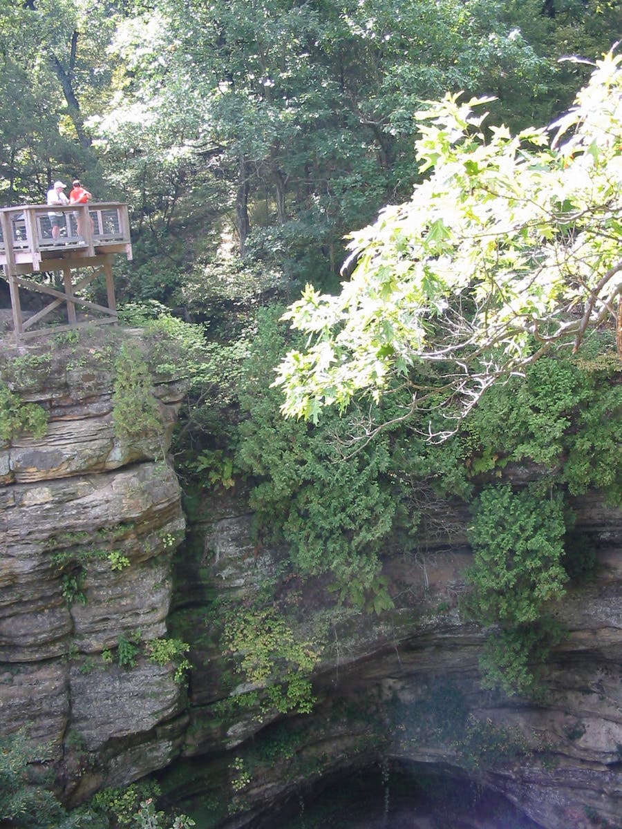
The lookout platform above Wildcat Canyon offers a jaw-dropping view of the sandstone gash spilling towards the river. Watch for flurries of cliff swallows zipping in and out of mud nests built beneath rock ledges. Continue east on the trail toward Sandstone Point.
SRW006
Location: 41.315405, -88.977155
Just beyond Basswood Canyon, the trail arrives at Sandstone Point, the final overlook before descending to the river. Skirt the edge of Lonetree Canyon on your right before descending a long flight of stairs to the river’s edge.
SRW007
Location: 41.315881, -88.977037
Take the trail to the left at the bottom of the stairs, following the wooded riverbank. If it’s spring or has recently rained, expect mud and to occasionally cross impromptu log bridges laid across muddy puddles.
SRW008
Location: 41.317154, -88.982358
Stay to the right (skip the trail leading back up to Wildcat Canyon) at this and the next several trail junctions. Just ahead, you’ll climb a set of stairs to the Beehive Overlook. Further up: right-hand spurs land at the Eagle Cliff and Lovers Leap viewpoints.
SRW009
Location: 41.320204, -88.986447
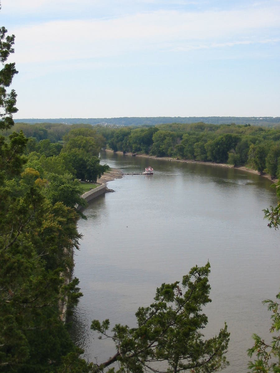
Eagle Cliff is aptly named for its crowds of winter residents. During peak season (toward the end of January), expect to see as many as 50-60 bald eagles soaring above, perched in trees, and hanging out on the ice-covered river. They are attracted to fishing opportunities near the open water at the dam’s edge. They begin arriving in November and their presence peaks in late January.
SRW010
Location: 41.318983, -88.987873
As you wind toward the lodge and park headquarters, there are more criss-crossing paths. Stay to the right at three successive trail junctions, following signs for Starved Rock.
SRW011
Location: 41.320248, -88.991757
This junction near the visitors center closes a 2.3-mile loop. Turn right for a short out-and-back add-on that climbs Starved Rock.
SRW012
Location: 41.321384, -88.990104
The formation known as Starved Rock towers 125 feet above the river, offering commanding views the surrounding woodlands and the Illinois River. From the west side of the overlook, look right toward Leopold Island No. 1, and left toward the larger Plum Island.
SRW013
Location: 41.320802, -88.990265
Stop to read the signage on the bluff-top boardwalk before descending and backtracking to the visitor center.
French Canyon
Location: 41.319114, -88.991743
Like other canyons in the park, the vertical sandstone walls of French Canyon are sometimes smooth and sometimes heavily textured. Colors vary, too, with shades of blue, green, and gold, depending on moss, lichen and minerals in the stone.
Wildcat Canyon
Location: 41.316328, -88.983012
Looking into the depths of Wildcat canyon from the viewing platform on its south side.
Rock Formations
Location: 41.316968, -88.980866
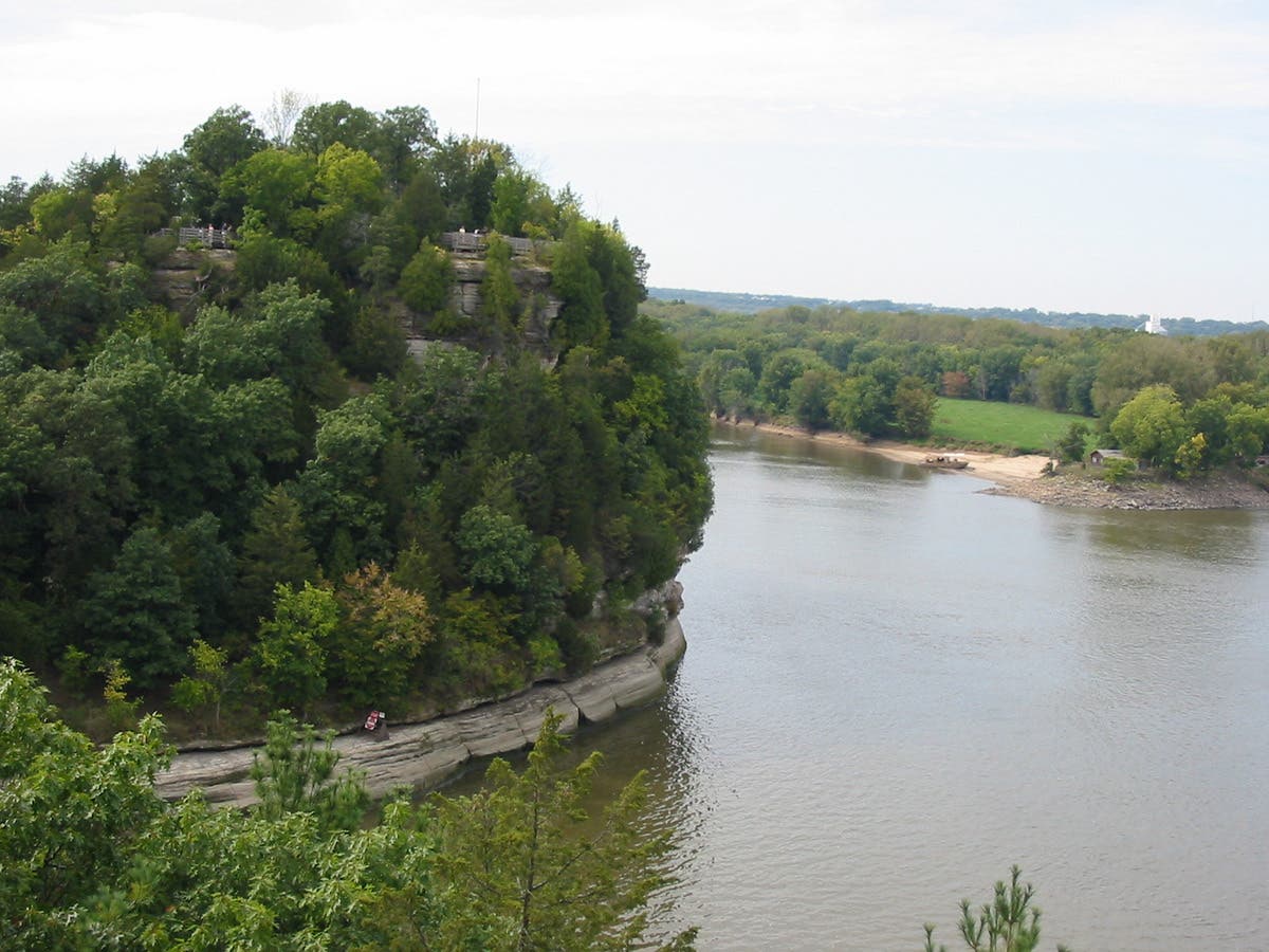
Bluffs descending into the Illinois River were left behind when glacial meltwater floods carved the park’s canyons.
Eagle Cliff Overlook
Location: 41.320107, -88.986361
The Starved Rock Lock and Damn as seen from the overlook at Eagle Cliff.
Lovers Leap Overlook
Location: 41.320485, -88.987926
Looking west toward Starved Rock from Lover’s Leap. Both of the features’ names come from Illinois Indian legends dating before the area was settled by Europeans.
Starved Rock Overlook
Location: 41.321468, -88.99035