Published September 20, 2013 03:32PM
Chicago, IL: Starved Rock Trail
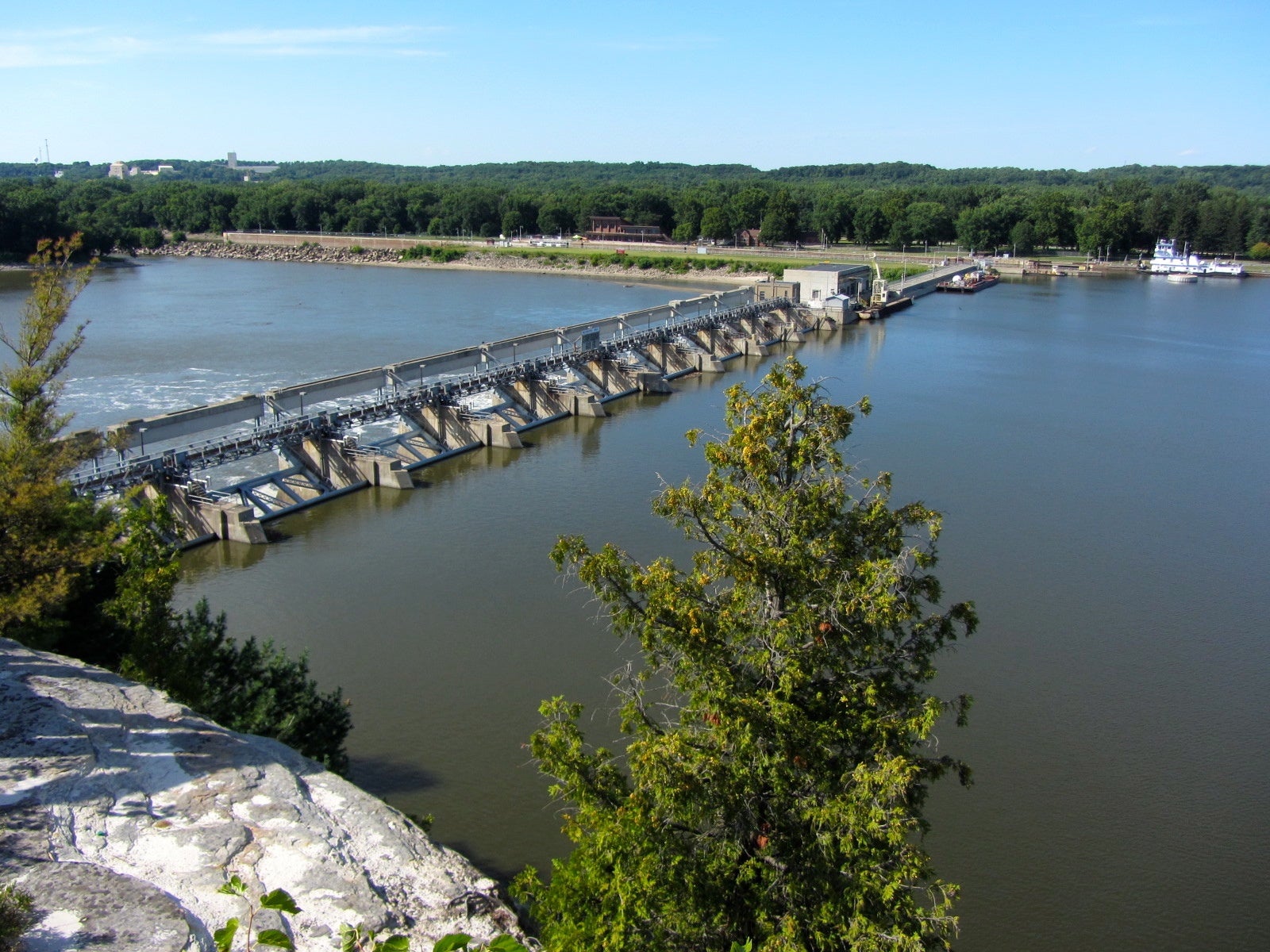
This beautiful 4.3-mile loop adjacent to the Illinois River adds welcome relief--waterfalls, sculpted sandstone canyons, and impressive overlooks--to the usually pancake-flat landscape.
'Richie Diesterheft'
Trail Facts
- Distance: 5.6
Waypoints
SRT001
Location: 41.3205680847168, -88.9923629760742
Head SE from visitor center
SRT002
Location: 41.3182334899902, -88.9876174926758
Turn N (left) to river overlook
SRT003
Location: 41.3205833435059, -88.9879150390625
Lover’s Leap overlooks a lazy Illinois River; continue hiking SE
SRT004
Location: 41.3202514648438, -88.9861297607422
Eagle Cliff; keep river on L
SRT005
Location: 41.3183670043945, -88.9838638305664
Beehive Overlook; continue SE
SRT006
Location: 41.3166847229004, -88.9829483032226
Waterfall plummets down colorful rock strata; stay ESE on river’s edge
SRT007
Location: 41.3127822875977, -88.9648361206055
Superb view of Owl Canoyn; turn around and head back WNW
SRT008
Location: 41.3143348693848, -88.9707336425781
Trailhead for LaSalle Canyon Loop; head S
SRT009
Location: 41.311351776123, -88.970817565918
Waterfall; head N on trail
SRT010
Location: 41.314266204834, -88.9714508056641
Loop ends @ main trail; head ENE to Bluff Trail
SRT011
Location: 41.3157348632812, -88.9755859375
Veer L up stairs; head NW on bluff
SRT012
Location: 41.3157997131348, -88.9767837524414
Sandstone Point; Continue NW for 1 mile back to visitor center