Chicago, IL: Ryerson Woods

Start at the end of Mill Road near the farm and welcome center and walk west. As the trail approaches the Des Plaines River, you may spot a great blue heron or two, and—if you’re hiking in spring or summer—trilliums and irises growing alongside the trail. During the 1.3-mile stretch along the river and its backwater, hike past water birds, old rustic cabins, and pristine, trickling streams. Heading away from the river, the trail weaves around small marshes and intermittent ponds and enters a grove of elms and oaks. After 3.2 miles, the trail passes the park’s farm exhibit—go inside the barn to see pigs, goats, and chickens. The final mile loops through lush forest and ends back at the trailhead.
Mapped by Ted Villaire


Trail Facts
- Distance: 6.9
Waypoints
RYE001
Location: 42.1824608, -87.9154129
Start the hike at the end of E. Mill Road near the farm and the welcome center. Hop on the trail and hike west toward the Des Plaines River.
RYE002
Location: 42.1815414, -87.9187469
Bear right @ 3-way. As the trail approaches the main thread of the Des Plaines River, you’ll likely see a great blue heron or two, and-if you’re hiking in spring or summer-trilliums and irises growing alongside the trail.
RYE003
Location: 42.1776924, -87.9207764
Bear right @ 3-way, heading away from the river. In 400 feet, the trail curves to the south.
RYE004
Location: 42.1753807, -87.9174957
Situated next to a small dam in the river is a cabin that once served as the weekend retreat for the Chicago industrialist Edward Ryerson and his family.
RYE005
Location: 42.1745224, -87.9115448
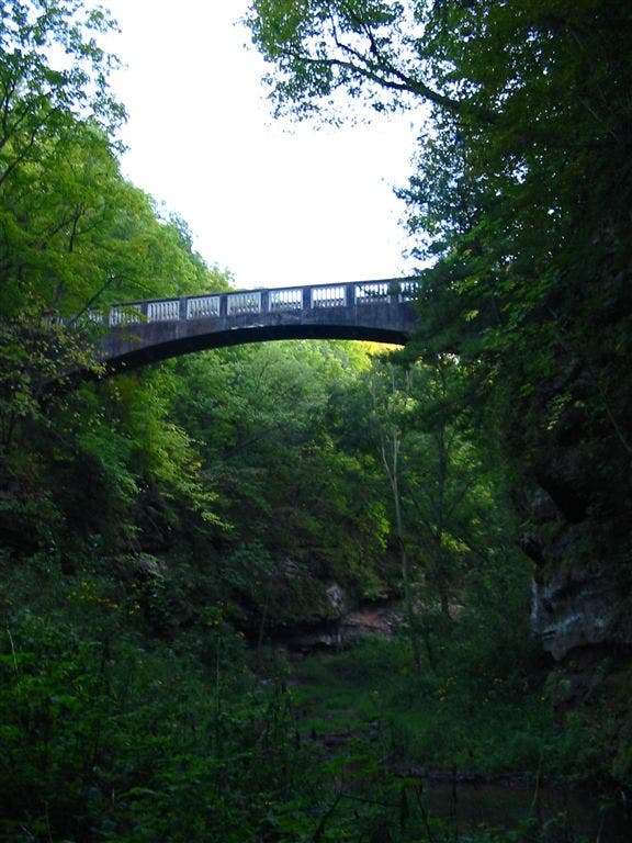
Bear right @ 3-way and then pass a cabin owned by a friend of Ryerson. Beyond this cabin, stay right @ next 3-way, and then cross a bridge over a twisting stream.
RYE006
Location: 42.1717949, -87.9102478
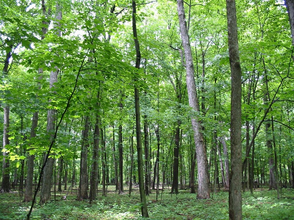
Heading away from the river, the trail weaves around small marshes and intermittent ponds. Cross the stream again and then enter a grove of elms and oaks; May apples provide an attractive ground cover.
RYE007
Location: 42.1777458, -87.906456
Turn right @ 4-way; trail passes through occasional marshy areas.
RYE008
Location: 42.1808128, -87.9065094
Bear right @ 3-way, heading northwest.
RYE009
Location: 42.1821365, -87.9109726
Cross park road. In 500 feet, turn right @ 3-way.
RYE010
Location: 42.182579, -87.9128494
Cross park road and head northwest. Enter a grassy clearing where bluebirds dart between trees. At dusk watch for bats leaving the bat house. After passing between two cabins and through the grove of shagbark hickories, take a break on the bench overlooking the Des Plaines River.
RYE011
Location: 42.1825905, -87.9147568
Continue straight @ 4-way, heading south. Cross the park road and pass the farm. If you have kids in tow, take them into the barn to see the pigs, goats, and chickens.
RYE012
Location: 42.1778755, -87.9169006
Turn left @ 3-way, heading east.
RYE013
Location: 42.1778488, -87.9128189
Turn left @ 3-way. Hike north for 0.3 mile to Waypoint 10. Turn left onto park road and walk 0.1 mile back to the trailhead.
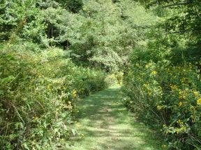
Grassy Trail
Location: 42.1815414, -87.9186935
Bridge
Location: 42.1744995, -87.911499
Elm and Oak Groves
Location: 42.1717682, -87.9101944
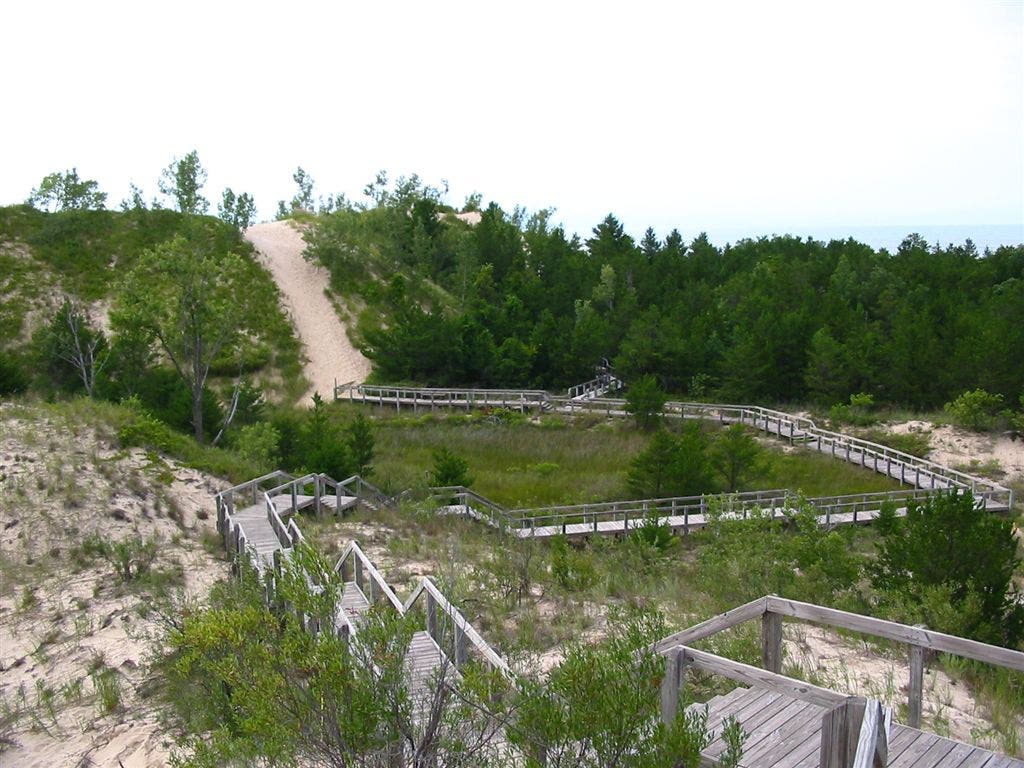
Boardwalk
Location: 42.1778488, -87.912796