Chicago, IL: Marengo Ridge Conservation Area

This 740-acre conservation area runs along the top of a 3-mile wide north-south glacial moraine in southwestern McHenry County and given the mostly flat agricultural land of the area, the hilly woodland, pine plantations, and numerous intermittent streams at Marengo Ridge come as a surprise. This short loop combines two park trails beginning near the park’s southwest corner and winding north 0.5 miles to a 1.3-mile lollipop on the forested Kelley Hertel Nature Trail—also popular with cross country skiers. The easy trail winds through forests of oak, hickory, and conifer including Norway spruce, red pine, Scotch pine and Douglas fir—15 species of evergreens were planted by former landowner, Emerson Kunde in the late 1950s.
For an additional adventure, consider camping out at one of the park’s hike-in sites.
-Mapped by Ted Villaire


Trail Facts
- Distance: 3.7
- Miles from city center: 64
Waypoints
MRC001
Location: 42.284802, -88.6010456
Start the hike near the map kiosk on the west side of the trailhead parking lot and follow the trail uphill through stands of oak and hickory.
MRC002
Location: 42.2878499, -88.6020541
Stay left at this hilltop 3-way junction. Notice the open understory and keep an eye out for interpretive signs alongside the trail. This rolling terrain and wide trail is also popular with cross country skiers during winter months.
MRC003
Location: 42.29035, -88.6019737
Descend the hill through stands of elm and then cross the first of many intermittent streams. Notice the small boulders–glacial erratics–scattered on the sides of the trail. All these rocks were transported by glaciers from as far away as Canada.
MRC004
Location: 42.291596, -88.6005628
Turn left at this 3-way junction onto the 1.3-mile Kelly Hertel Nature Trail. This lollipop loop and rounds the north side of the park passing a prairie, crossing several small bridges, and winding through pine, quaking aspen and sumac.
MRC005
Location: 42.2937705, -88.5982454
Stay to the left at 3-way junction to follow the loop clockwise. The trail narrows and climbs a small hill before turning south.
MRC006
Location: 42.2967703, -88.5950696
Thick stands of elm and white oak grow near two bridges on the loop’s far side. While the streams may be dry, there might also be puddles (Look for animal tracks in the mud.) You’ll also pass a pile of smaller boulders likely collected by an early farmer.
MRC007
Location: 42.293707, -88.5980308
Keep left at two successive 3-way junctions as you finish the loop and then return to the lower loop. During the summer, catch a whiff of the fragrant bushes lining the trail: Wild raspberry, rosehips, gooseberry, and honeysuckle.
MRC008
Location: 42.2888499, -88.5990608
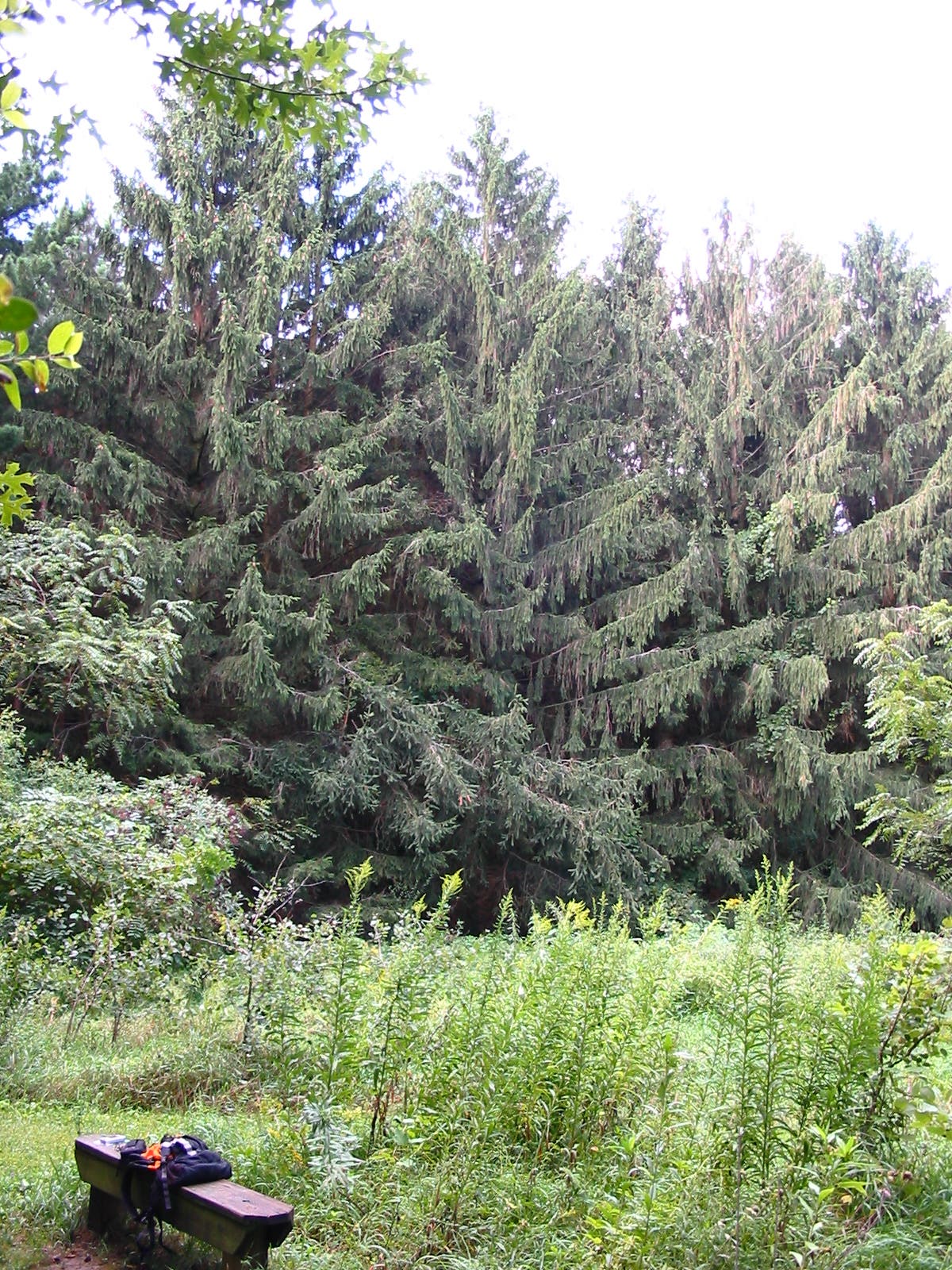
About halfway through the pine plantation, bypass the left-hand spur to the Campground Loop. Continue downhill past a few campsites on the left before traversing a stand of large Norway spruce trees (look on the ground for the 6-inch cones this tree produces). You’ll see white pine and walnut trees before arriving back at the trailhead.
Prairie
Location: 42.293342, -88.5981059
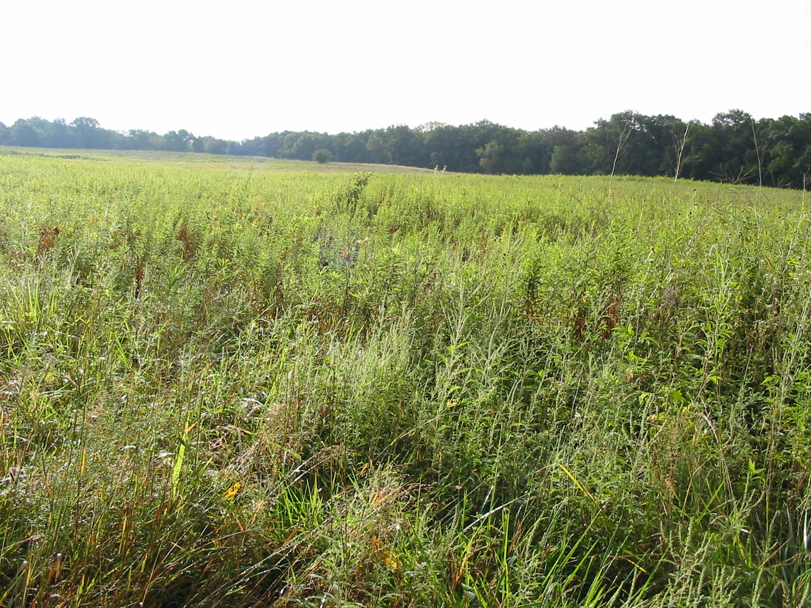
At the base of the Kelly Hertel loop, you’ll skirt this large open field.
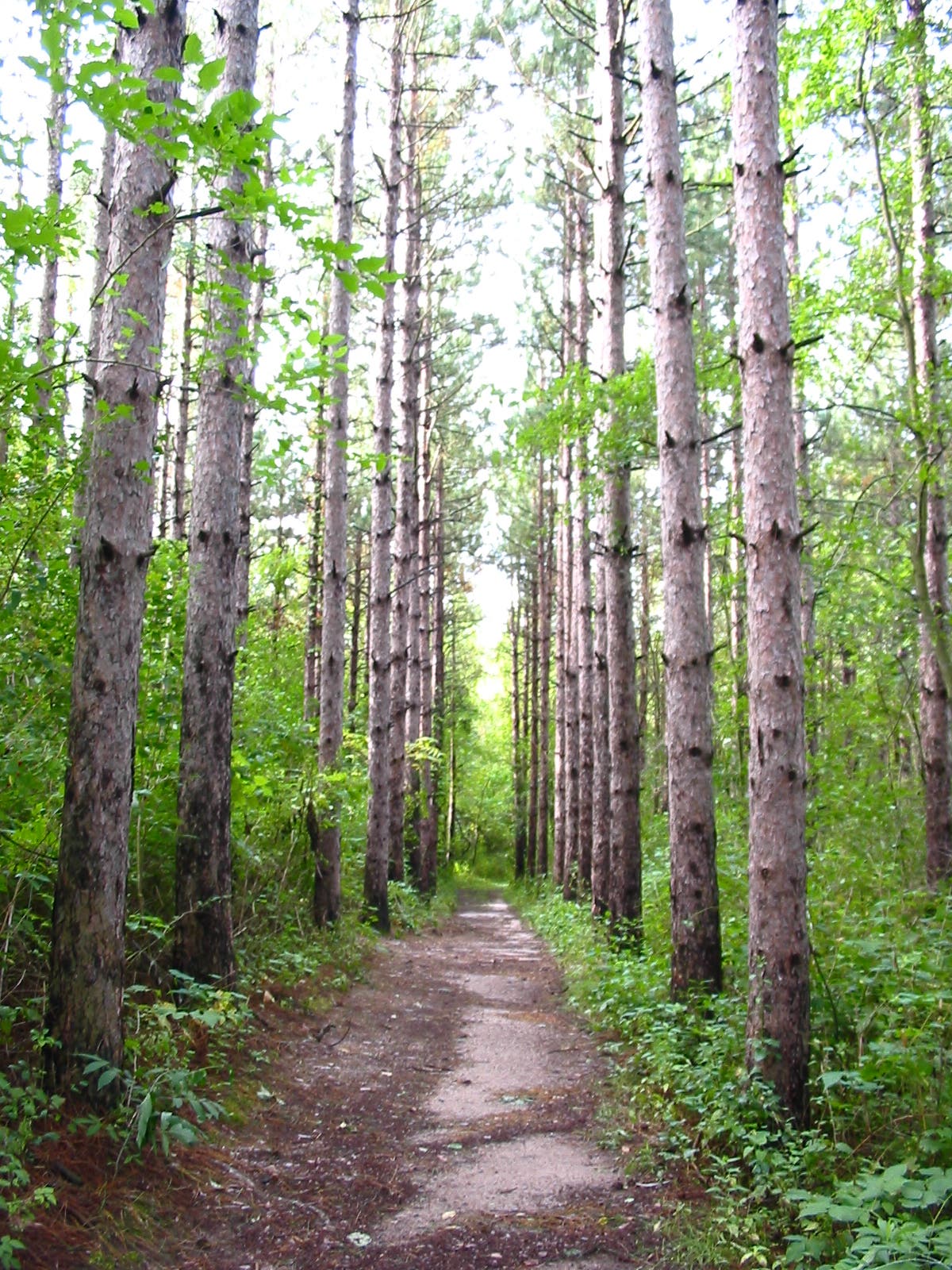
Pine Plantation
Location: 42.2893102, -88.599093
The former property owner planted as many as 15 species of pine in the park.
Norway Spruce
Location: 42.2868974, -88.5989642