Chicago, IL: Indiana LaSalle Fish and Wildlife Area

This counterclockwise loop tours the levees and service roads of Indiana’s LaSalle Fish and Wildlife Area for an easy hike through part of the Kankakee Marsh, once the world’s largest wetland. Beginning at parking area 3A, head west for 1 mile atop a 15-foot levee. Water levels fluctuate in the ponds and the waterfowl areas lining the levee and may be flooded (or crowded with cattails) depending on the season and desired hunting conditions. Heading south the trail enters DNR-controlled farmland where croplands rotate between sunflower, sorghum, and other species that feed and attract wildlife. Continue east before skirting the Beaver Lake Ditch where mature hardwoods mingle with open savanna. Squeezing between the Snag Bayou on the right and the Black Oak Bayou on the left, the trail tops the levee again before it hits the Kankakee River and turns west for the final mile back to the parking area. Call (219) 992-3019 or stop at the area’s headquarters before your hike to check for seasonal closures, common between October and February. -Mapped by Ted Villaire


Trail Facts
- Distance: 8.4
Waypoints
LAS001
Location: 41.168396, -87.4972382
The trail begins at parking lot 3A, on the northwest corner of Black Oak Bayou’s sizable open water marsh. Head west along the levee’s gravel road.
LAS002
Location: 41.1669388, -87.5122833
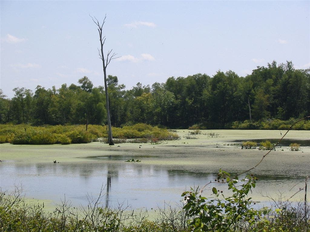
On the left is a swampy, worm-shaped pond covered with algae. Many of the ponds here are an oxbow shape, indicating that they were once flowing bends in the once-wild Kankakee River.
LAS003
Location: 41.1660461, -87.5140228
Prairie grass and compass plants line the trail after it crosses a footbridge. Old willow-draped drainage canals lining the path are remnants from early efforts to control flooding in the Grand Kankakee Marsh, once the Midwest’s largest wetland.
LAS004
Location: 41.1597473, -87.5122458
The trail turns east and continues above two narrow waterways.
LAS005
Location: 41.1597675, -87.4969947
To follow this mapped route, continue straight across the park road @ 4-way junction. Optional: To shorten the loop, turn left and walk 0.5 mile north to parking lot 3A.
LAS006
Location: 41.1597443, -87.4844513
Continue straight @ 4-way intersection. The trail ahead narrows and bears right along the canal.
LAS007
Location: 41.1580505, -87.4772568
Stay straight on the path @ 3-way junction.
LAS008
Location: 41.1585236, -87.4764557
At mile 3.25, continue straight to cross above Beaver Lake Ditch and finish this loop’s eastbound leg. The northbound trail follows a sandy creek through savanna and woodland habitats.
LAS009
Location: 41.1688194, -87.4786682
Skirt Snag Bayou on the right and cross another bridge before turning west at the edge of the Kankakee River.
LAS010
Location: 41.1698074, -87.4796982
The stroll back to the trailhead squeezes between the fast-moving Kankakee River and the still, tree-choked surface of the Black Oak Bayou.
Levee
Location: 41.1679268, -87.5046158
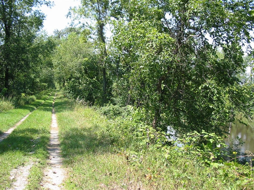
The levee is 15 feet above the surrounding marshlands and provides a bird’s-eye view of the Kankakee River on the right and woodland marshes to the left. ©Ted Villaire
Open Water
Location: 41.1669846, -87.5133667
Open water sections along the trail offer views of soaring swallows, basking turtles and lily-pad communities tilting in the breeze. ©Ted Villaire
Black Oak Bayou
Location: 41.1694298, -87.4883499
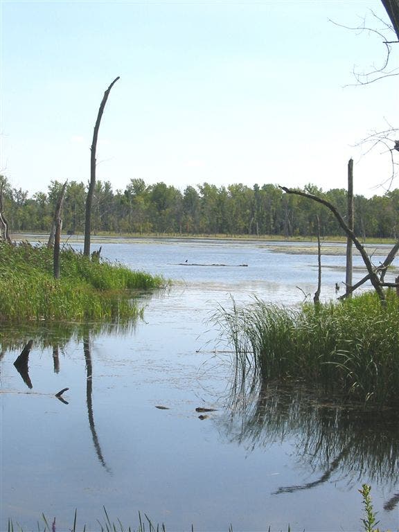
Above the cattails, sedge grasses, and the still-standing dead trees, listen for the loud chattering of belted kingfishers, and watch for them hovering over the water as they scout out a meal. ©Ted Villaire