Chicago, IL: Illinois Beach State Park

The long list of amenities at Illinois Beach State Park (a 244-site campground, hotel, bike trails, a concessionaire, and a large marina) draws big crowds on hot, summer weekends. But this 2.3-mile loop on the 4,160-acre park’s south side escapes the masses and offers access to one of the Chicagoland area’s only hike-in beaches.
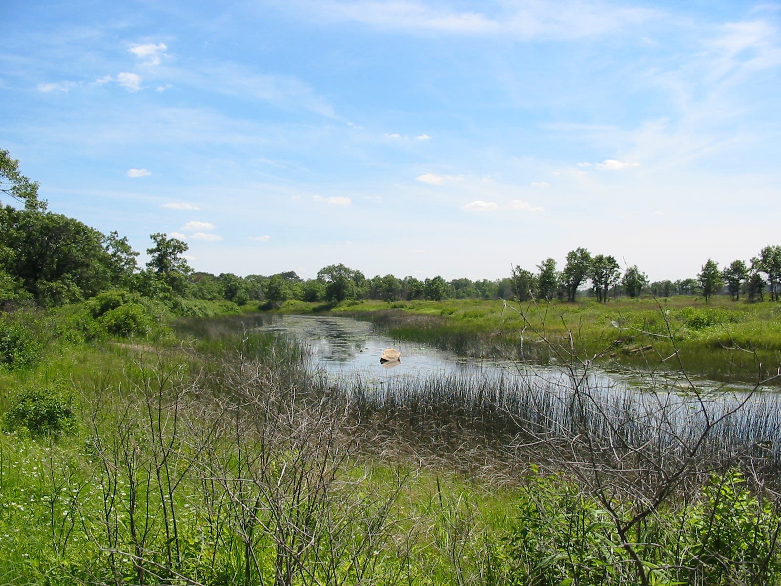
Starting at the visitor center parking lot on the park’s south side, the route follows a southbound trail alongside the Dead River. Aquatic plants and animals in the elongated pond (a “river” that flows only when water levels breech the beachside sand bar that contains it) can be hard to spot, but look for waterfowl from the viewing platform about a quarter mile from the trailhead. As the trail turns east, it cruises a strange landscape of low, windswept sand dunes before landing at another viewing platform and at mile 1, the sandy beach itself. Kick off your shoes and take a swim before turning back into the shrubby dunes and heading north. This trail is known for rich displays of wildflowers: look for milkweed, shooting star, and gentian as you cruise back toward the visitor center. Turn left and cross a boardwalk before landing there at mile 2.3.
-Mapped by Ted Villare


Trail Facts
- Distance: 3.8
Waypoints
IBP001
Location: 42.421667, -87.808474
Catch the trail on the west side of the parking lot (the same side as the visitor center) and begin by hiking south over old sand dune mounds, now barely noticeable as hills.
IBP002
Location: 42.418657, -87.809726
Less than 0.25 miles from the trailhead, stop at this wooden platform above a bend in the Dead River. Scan the expansive wetland for water birds and wildflowers.
IBP003
Location: 42.412275, -87.808835
Leave the shore of the Dead River and bear right at the 3-way junction to follow the park’s southernmost trail toward the beach.
IBP004
Location: 42.411679, -87.808515
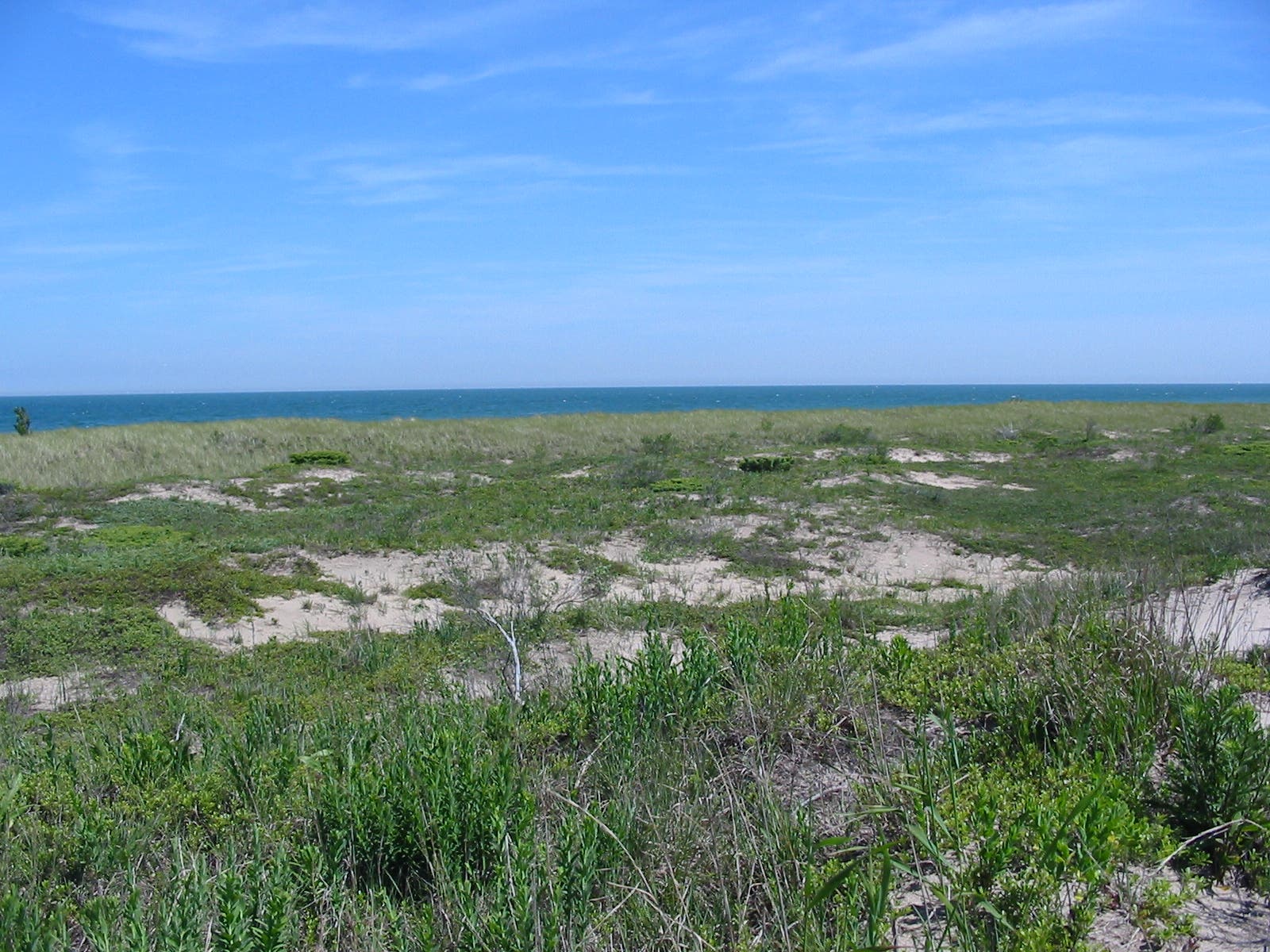
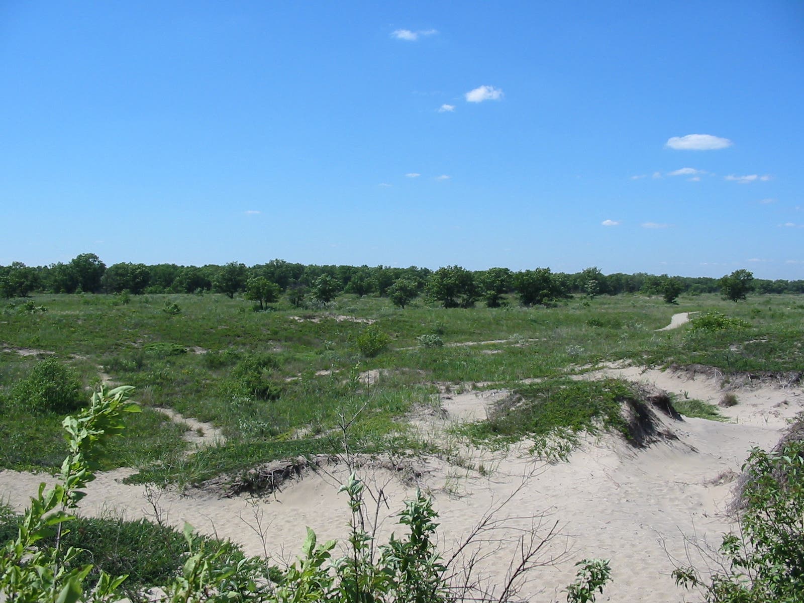
The washboard-like terrain here consists of a series of low, gently sloping sand dunes topped by the occasional scrawny oak tree. You’ll also see unusual plants like the bearberry (small leaves and little white flowers) and the Waukegan juniper (an evergreen with white berries).
IBP005
Location: 42.410609, -87.805253
Turn right on the short spur trail to the lake. A small observation platform here allows a better view of the surrounding, rippling terrain. After spending time at the beach, you’ll backtrack to this point and turn north onto the Oak Ridge Trail.
IBP006
Location: 42.410419, -87.803507
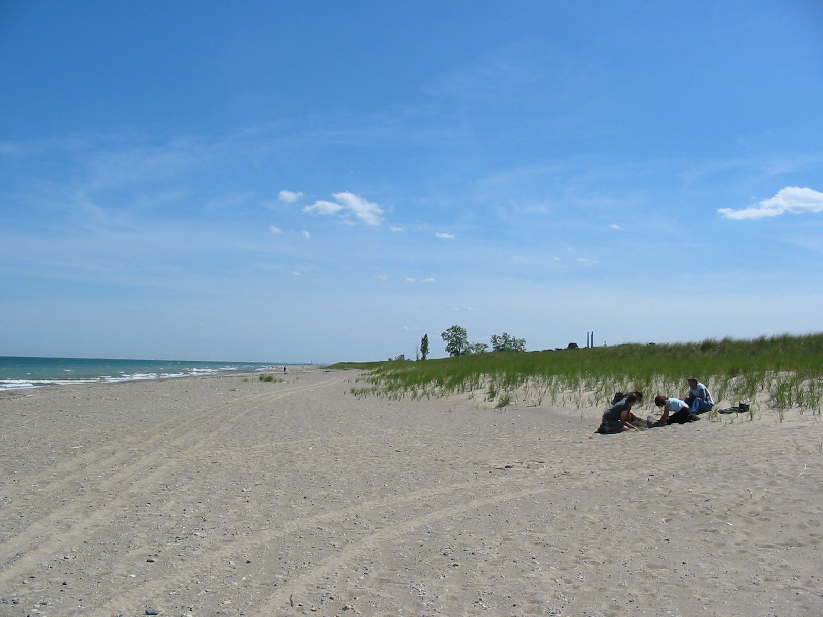
The sandy beach is a perfect place to spread out a blanket and unpack for a picnic. This is one of the area’s few hike-in beaches making it a rarity, but the mile-long trip in deters crowds even on hot summer weekends.
IBP007
Location: 42.409128, -87.803121
Continue south 200 yards to the sandbar at the mouth of the Dead River. Backtrack from here to the beach spur trail that heads inland.
IBP008
Location: 42.417928, -87.80525
Walking parallel to the lake, look for places where the wind has scoured away the plants and created hollow spots. These are called “blowouts.” Soon, the sandy terrain and low dunes give way to oak savanna and patches of woodland.
IBP009
Location: 42.420558, -87.805154
Turn left at this 3-way junction to follow this mapped route back toward the visitor center and trailhead, or turn right for another dose of the sandy beach which is just 100-yards to the right.
IBP010
Location: 42.420867, -87.806723
Look toward the large marsh on the right before crossing a shallow dune pond on a 30-yard-long boardwalk headed back toward the visitor center.
Dead River
Location: 42.415821, -87.810652
For most of the year, the Dead River–as its name suggests–shows little movement. It starts to flow when its water level rises high enough to crest the sandbar that blocks the mouth at Lake Michigan.
Dunes
Location: 42.411512, -87.807906
The 6 to 15-foot dunes in this area are the state’s only dunes, though Lake Michigan has others in Indiana.
Lake Michigan
Location: 42.41034, -87.803185
The sandy, Lake Michigan beach is the ultimate destination on this easy hike. Walk-in access translates to small crowds and lonely stretches of sand.
Sand Dunes
Location: 42.414744, -87.804644