Published March 13, 2018 04:28PM
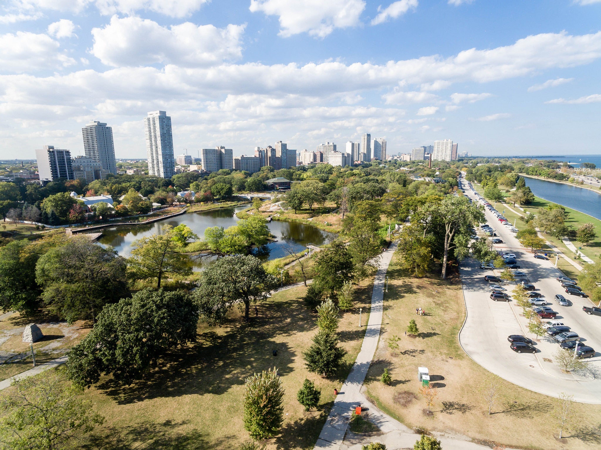
New Chicago "Greenprints" Map Natural Resources
City planners use these detailed maps to conserve open space, waterways, and animal habitats.
'Marco Verch'
City planners are updating Chicago’s “greenprints,” which are detailed maps that depict the region’s open spaces, parks, waterways, and animal habitats. Planners use the data to prevent flooding, keep water clean, and increase carbon sequestration. The plan-in-progress, when finished, will remain in place until 2050.