Published September 20, 2013 03:31PM
Chicago: Glacial Park Conservation Area
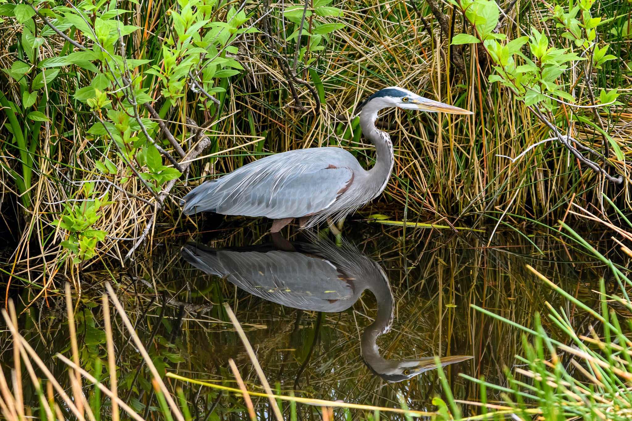
This 4.1-mile hike exposes the wilder side of northern Illinois, an untouched 3,000-acre tract filled with wildlife and a gravel cone formed by an ancient stream.
'C.P. Ewing'
Trail Facts
- Distance: 6.6
Waypoints
GPC001
Location: 42.4189186096191, -88.3219223022461
Head E; in .1 mile, enjoy prairie views from observation deck
GPC002
Location: 42.4192771911621, -88.3268051147461
Turn R and climb small hill
GPC003
Location: 42.4221382141113, -88.3251113891602
Bear L; trail stays N for short bit, then twists S
GPC004
Location: 42.4239730834961, -88.3249740600586
Turn L, bearing NW
GPC005
Location: 42.420970916748, -88.3304138183594
Turn R, then straight @ next fork
GPC006
Location: 42.4219207763672, -88.331672668457
Veer R; farther ahead, keep straight
GPC007
Location: 42.4290313720703, -88.3298263549805
Just E of trail is a glacial kame, a cone-shaped hill of gravel left by glacial streams 12,000+ years ago; turn L ahead
GPC008
Location: 42.4291915893555, -88.3312225341797
Turn L
GPC009
Location: 42.4230003356934, -88.3340835571289
Turn L; cross bridge over Nippersink Creek
GPC010
Location: 42.4232788085938, -88.331916809082
Turn R
GPC011
Location: 42.4226684570312, -88.3320617675781
Turn L, keep on main trail; @ junction with Waypoint 6 turn R for a quick sidetrip
GPC012
Location: 42.4213905334473, -88.3345031738281
ADVERTISEMENT
Rustic cabin; head back to main trail
GPC013
Location: 42.4211654663086, -88.3304977416992
Turn R
GPC014
Location: 42.419189453125, -88.3315811157226
Unnamed high point: Miles of Illinois prairie unfold; fine lunch spot; straight @ next two intersections; trail closes last loop in .9 mile @ trailhead