Chattanooga, TN: North Chickamauga segment of Cumberland Trail

This segment of the Cumberland Trail follows North Chickamauga Creek and was home to a coal mining operation at the turn of the 20th century. Numerous deep swimming holes along the trail make it very popular for locals.
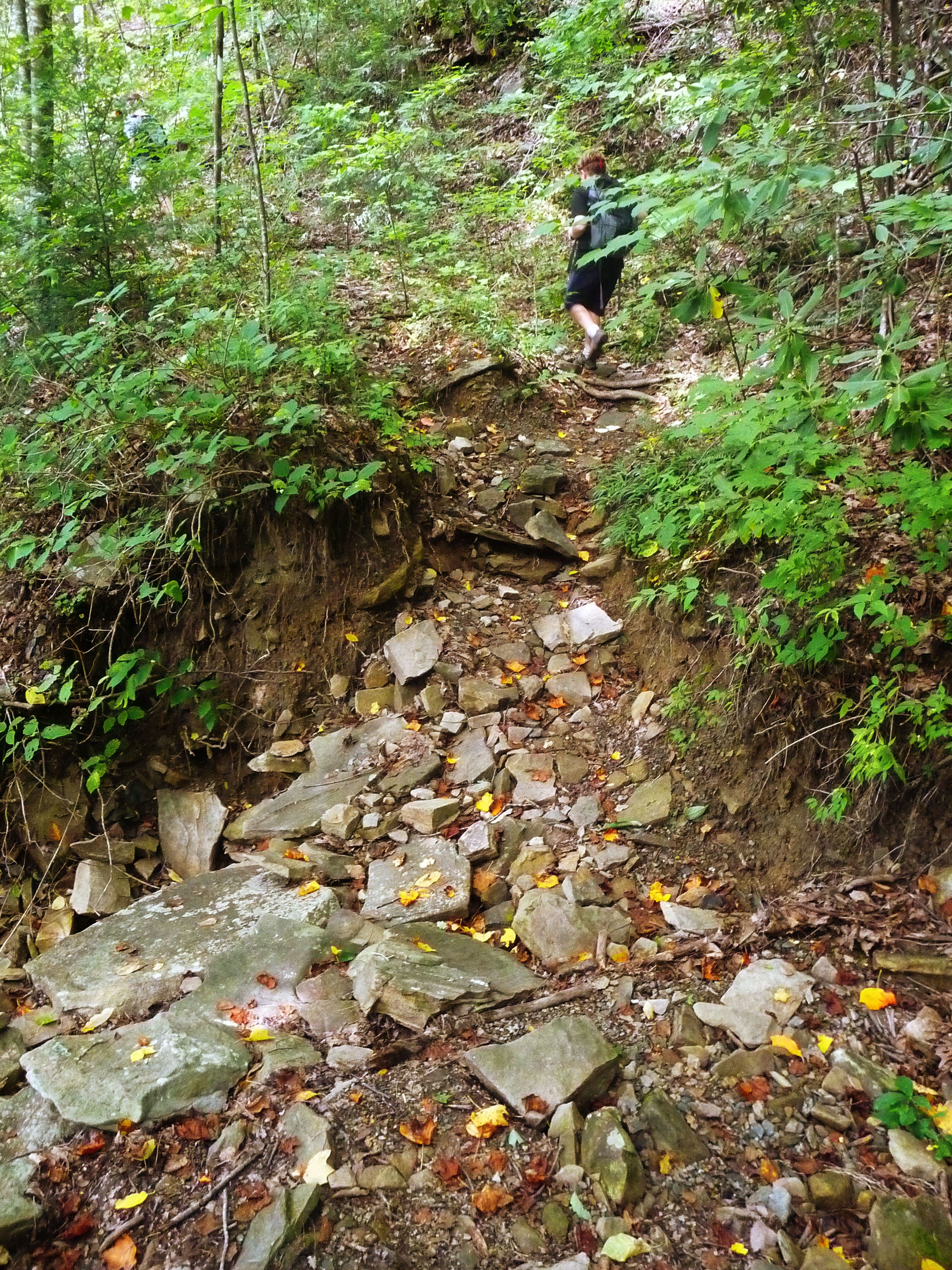
From the trailhead, follow the creek along a gentle rise. Stay straight to take the Lower Loop of Hogskin Branch as the trail asends to follow along an old roadbed. Continue climbing until you reach a set of ladders that take you to a scenic overlook of the gorge below. The trail then picks up another old roadbed along the ridge where summer months gift the hiker with wild blackberries. Leave the road and bear hard left down a steep hill (500 feet in about half a mile) featuring a cable crossing and another ladder until you reach the deep swimming hole of North Chickamauga Creek. After a lunch and swim break, head back up the hill and retrace your steps back to the trailhead, but this time veer left and take the short Upper Loop of Hogskin Branch to again rejoin the main trail.
-Mapped by Kelly Stewart, Nashville Hiking Meetup
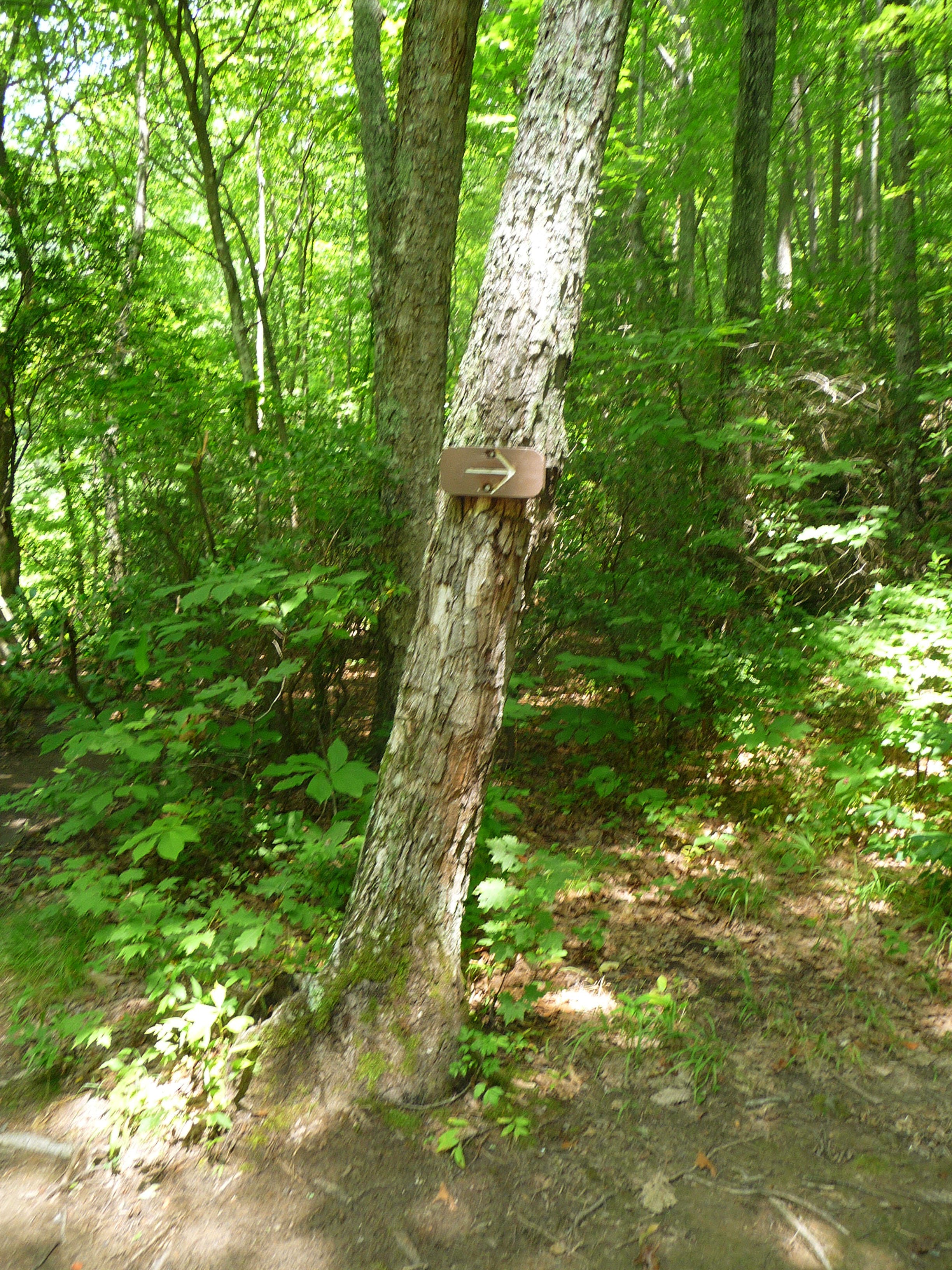
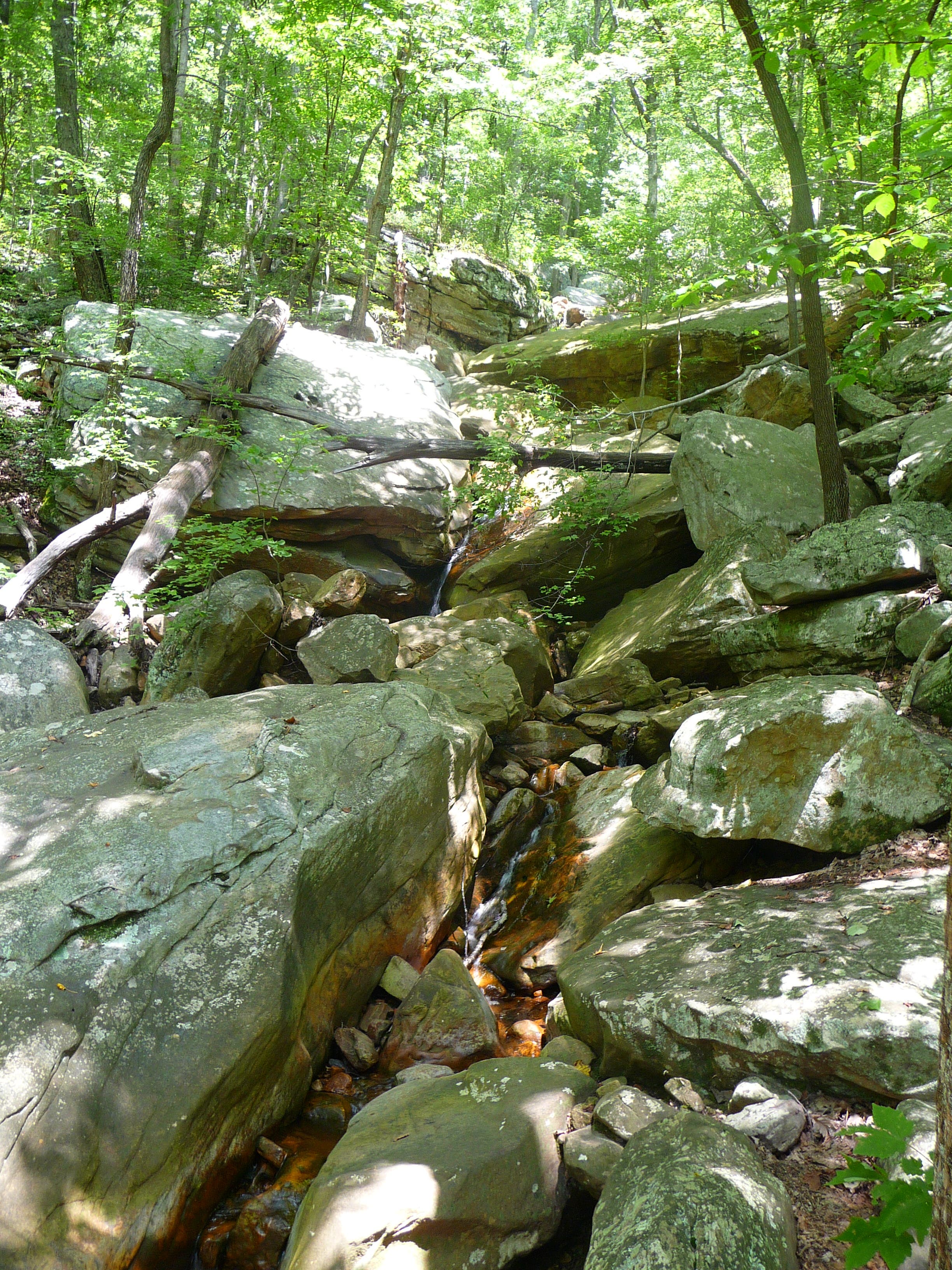
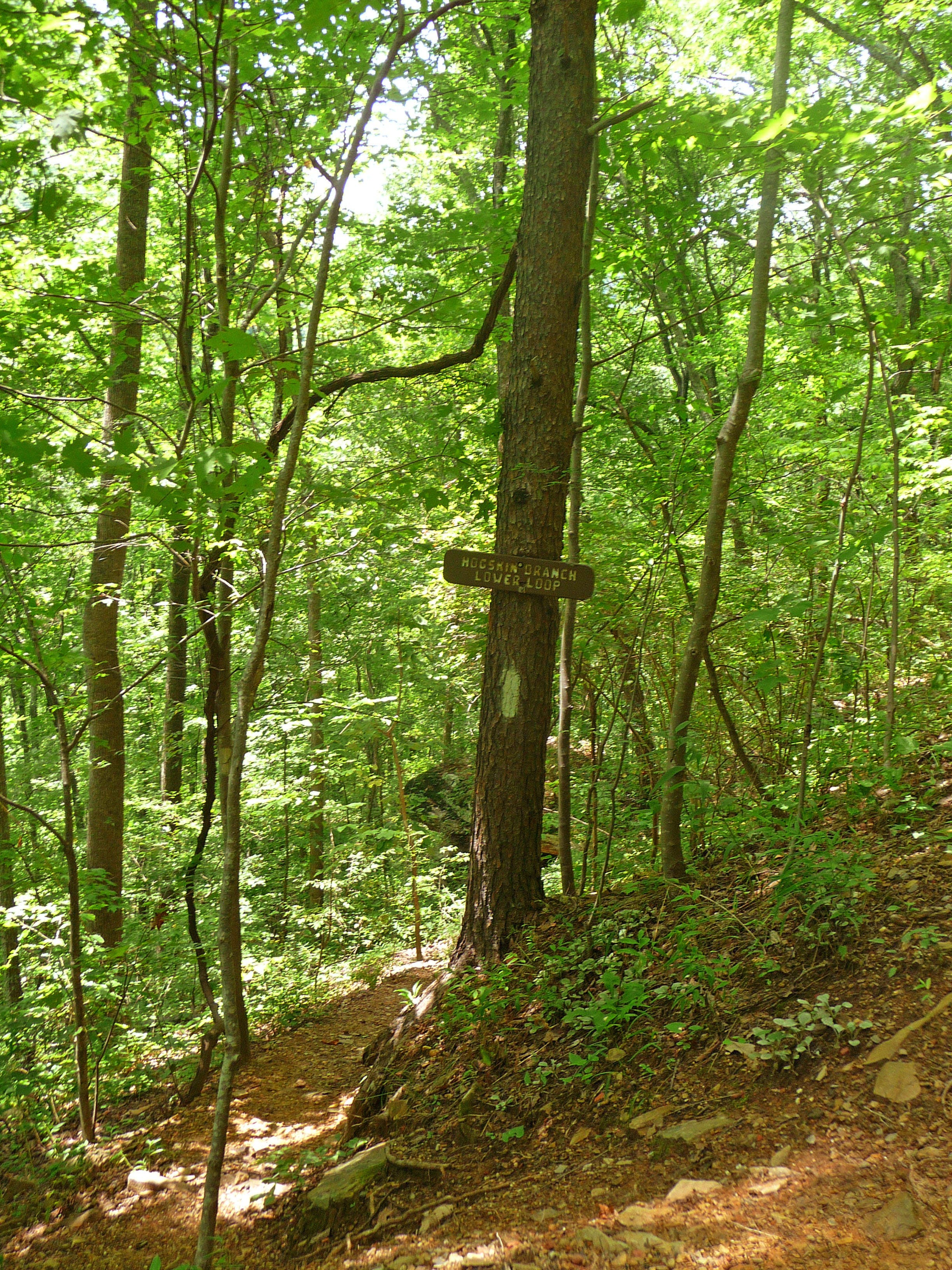
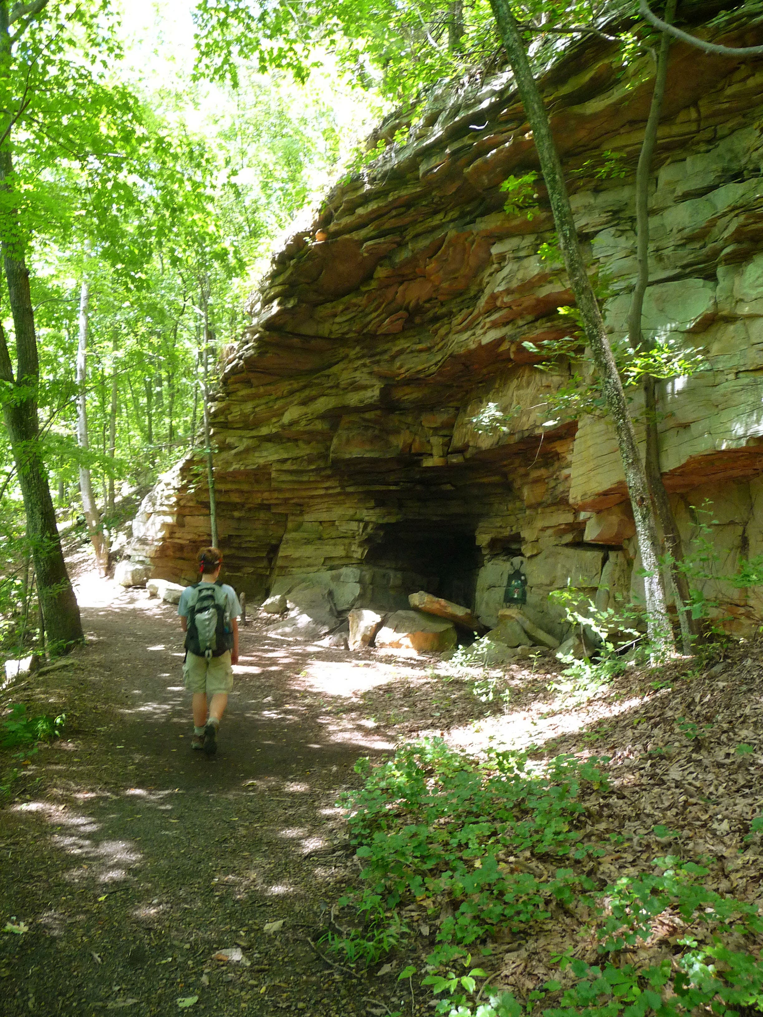

Trail Facts
- Distance: 12.0
Waypoints
NOC001
Location: 35.237546, -85.234448
Trail begins at parking area.
NOC002
Location: 35.237553, -85.234403
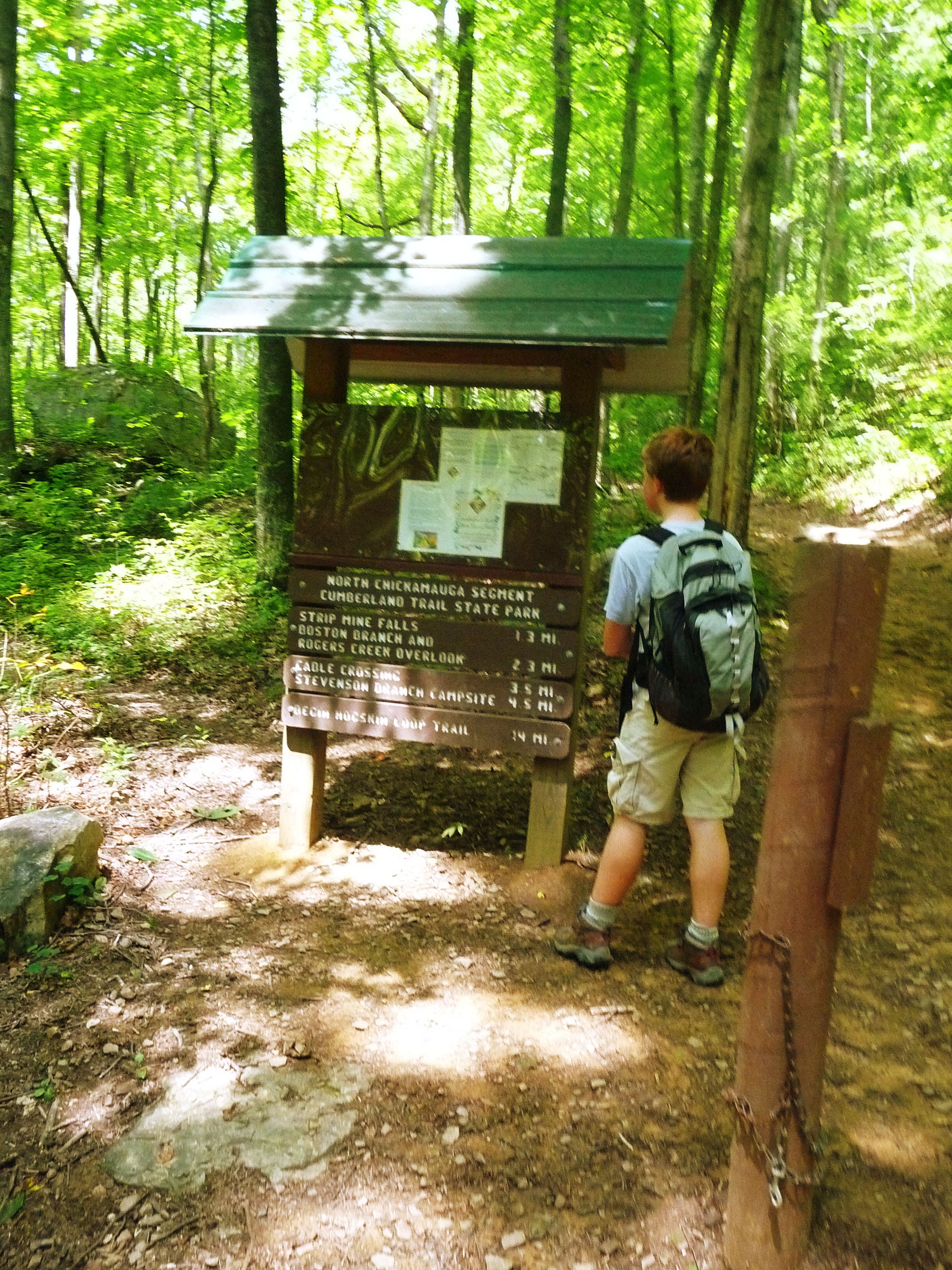
Trailhead kiosk and map.
NOC003
Location: 35.240846, -85.236798
Trail follows the creek.
NOC004
Location: 35.24258, -85.23645
Trail turns right
NOC005
Location: 35.245856, -85.236492
Trail crosses Hogskin Branch, a feeder creek into North Chickamauga Creek.
NOC006
Location: 35.24653, -85.235532
Trail turns left and begins following an old mining road.
NOC007
Location: 35.251543, -85.240528
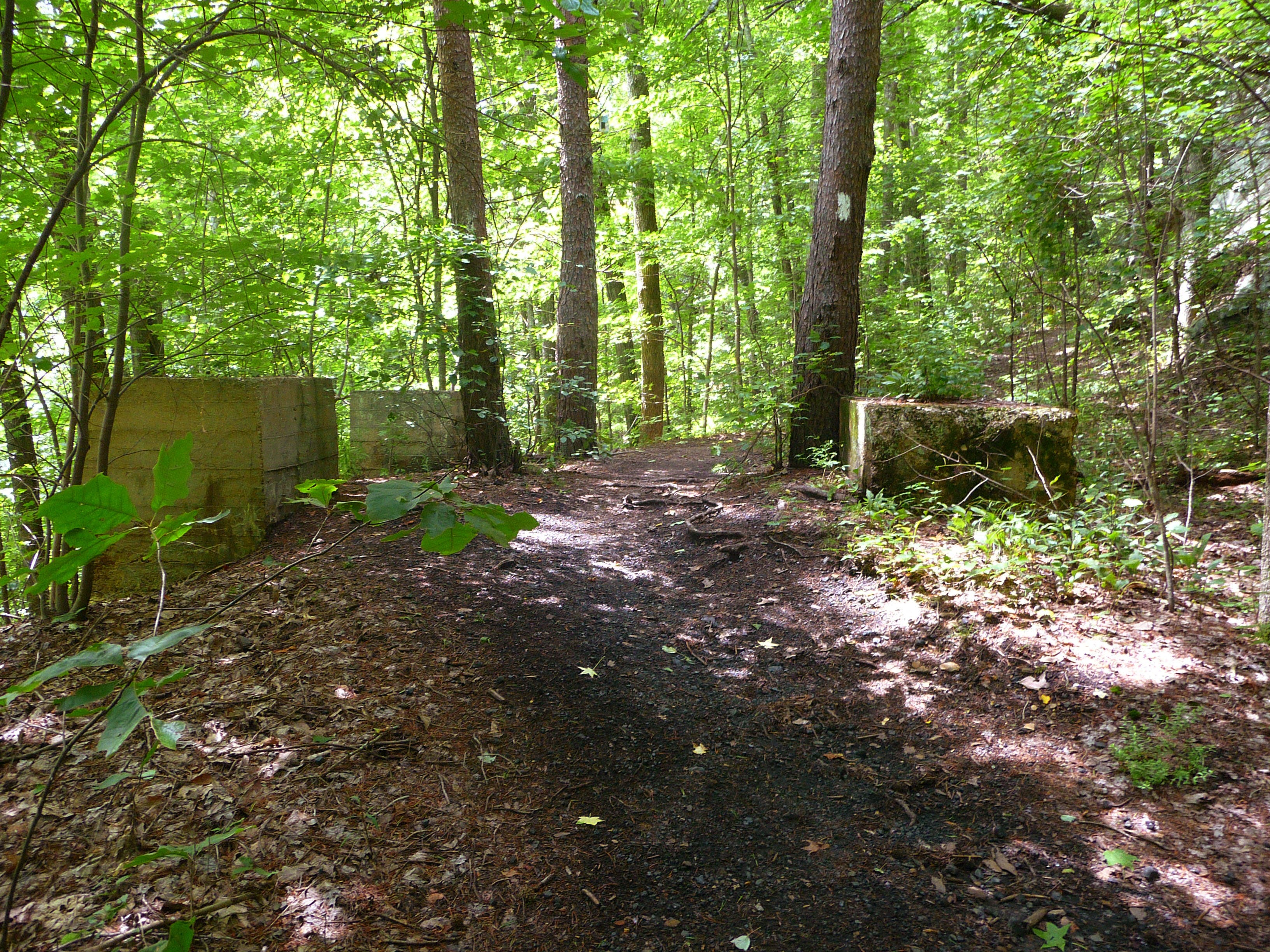
Remnants of coal tipple, a structure used to load coal onto railroad cars.
NOC008
Location: 35.251957, -85.240721
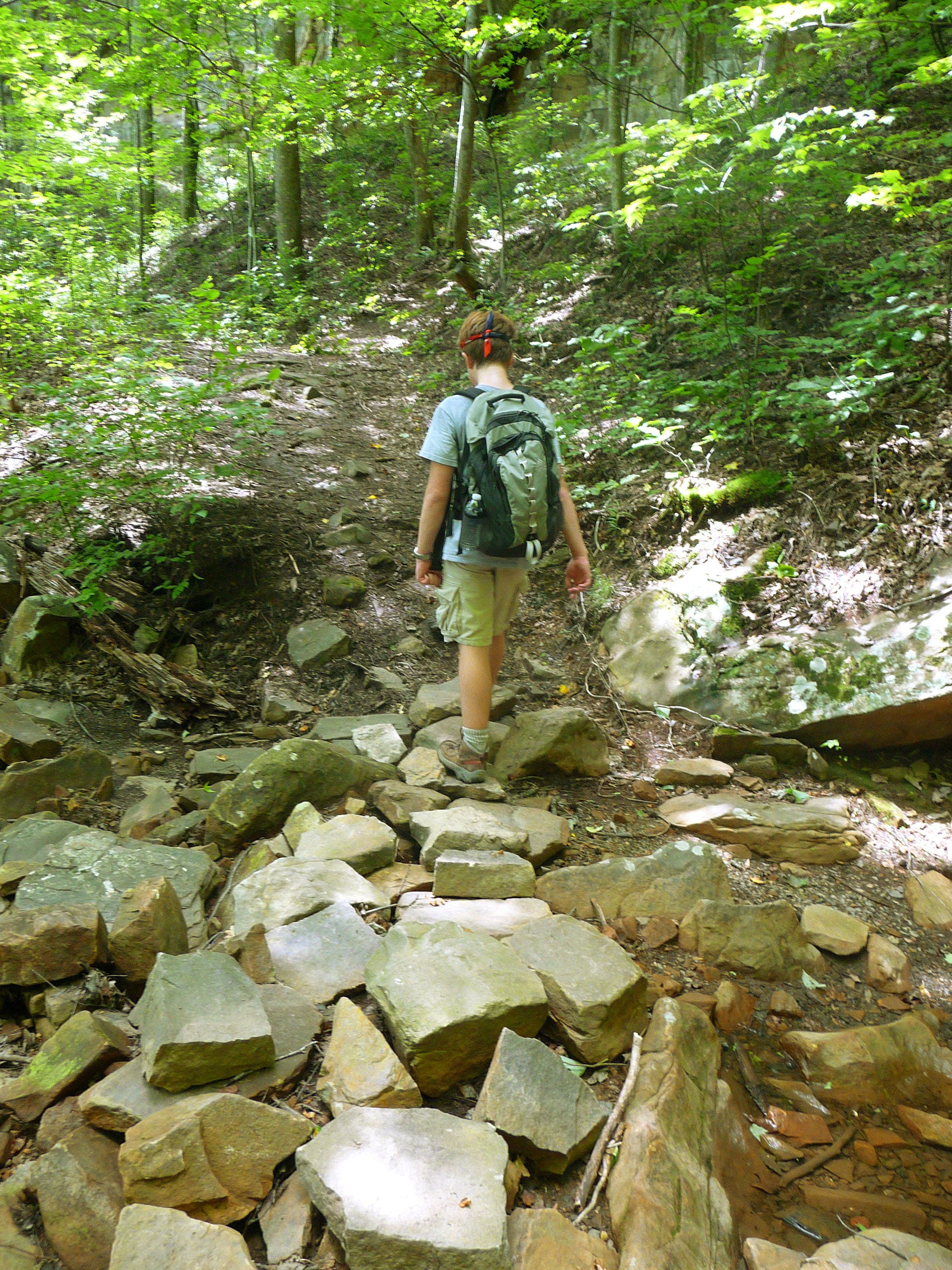
Trail begins switchbacks and ascent
NOC009
Location: 35.252503, -85.240935
Trail crosses stream.
NOC010
Location: 35.252332, -85.241663
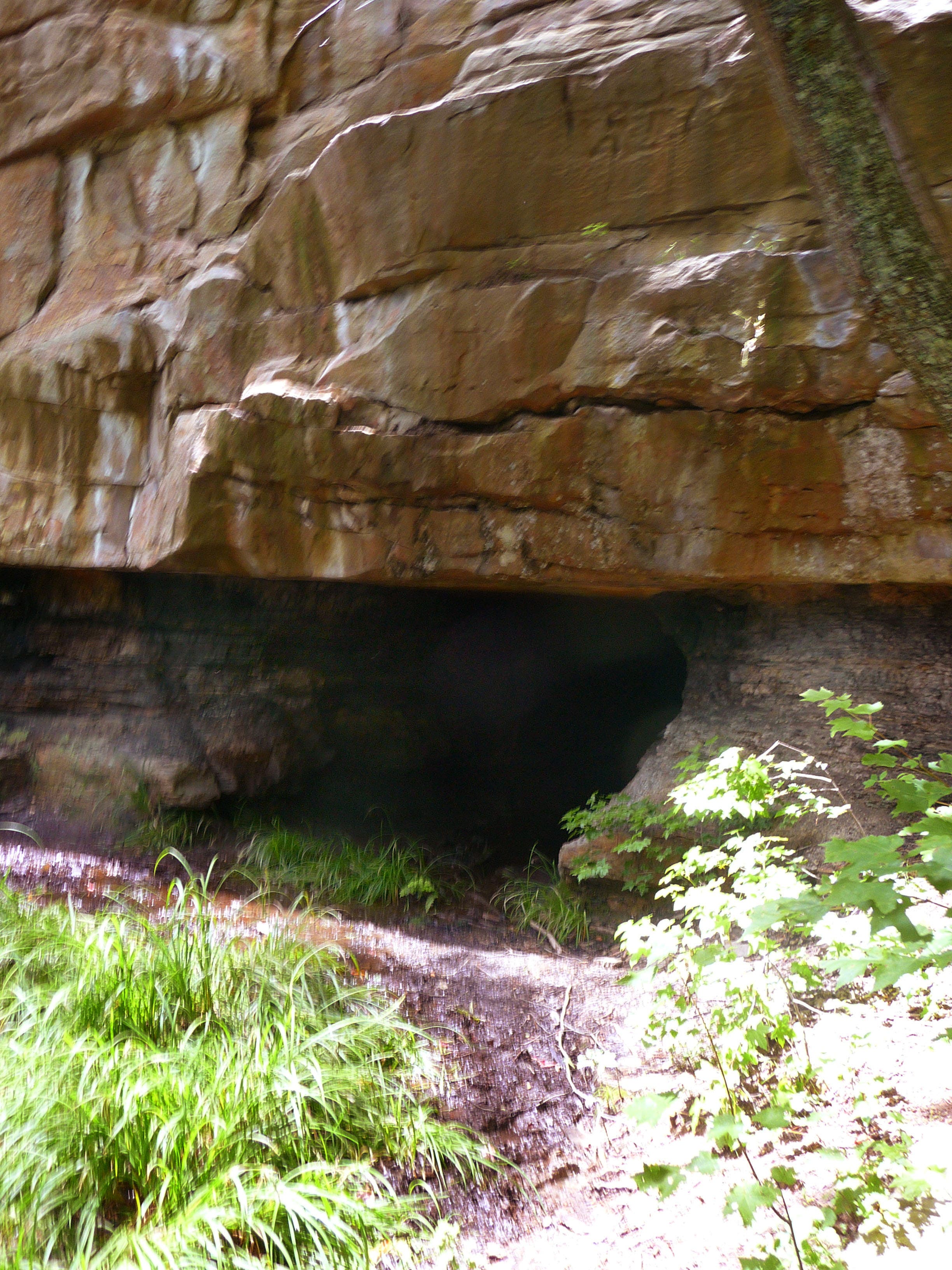
Mine shaft.
NOC011
Location: 35.249795, -85.253648
Ladder #1 takes you to upper trail.
NOC012
Location: 35.250189, -85.253863
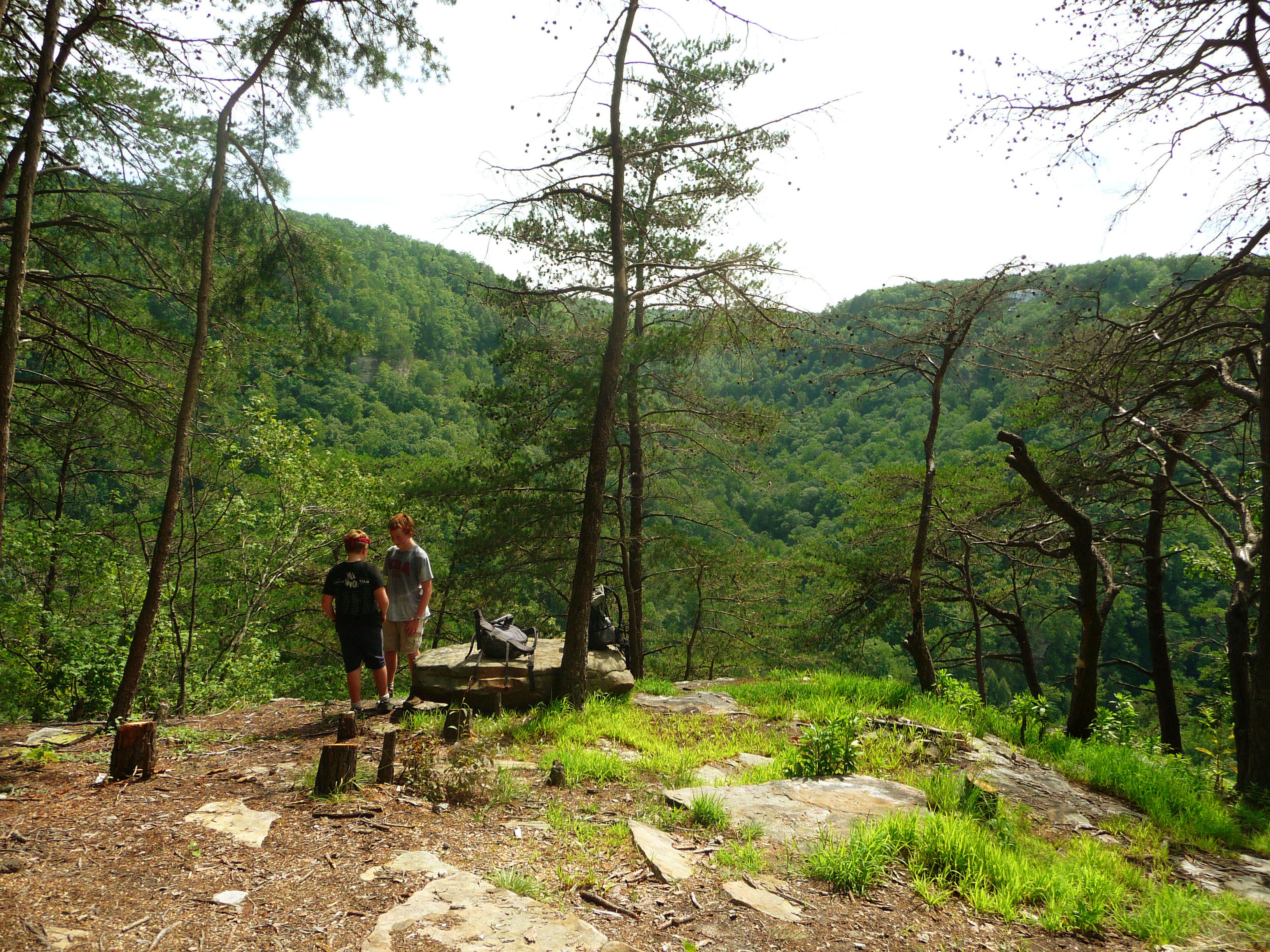
Scenic overlook.
NOC013
Location: 35.250302, -85.253477
Continue left by following the trail along an old roadbed.
NOC014
Location: 35.255977, -85.253957
One of the numerous stream crossings.
NOC015
Location: 35.261158, -85.25433
Stream crossing.
NOC016
Location: 35.264089, -85.254098
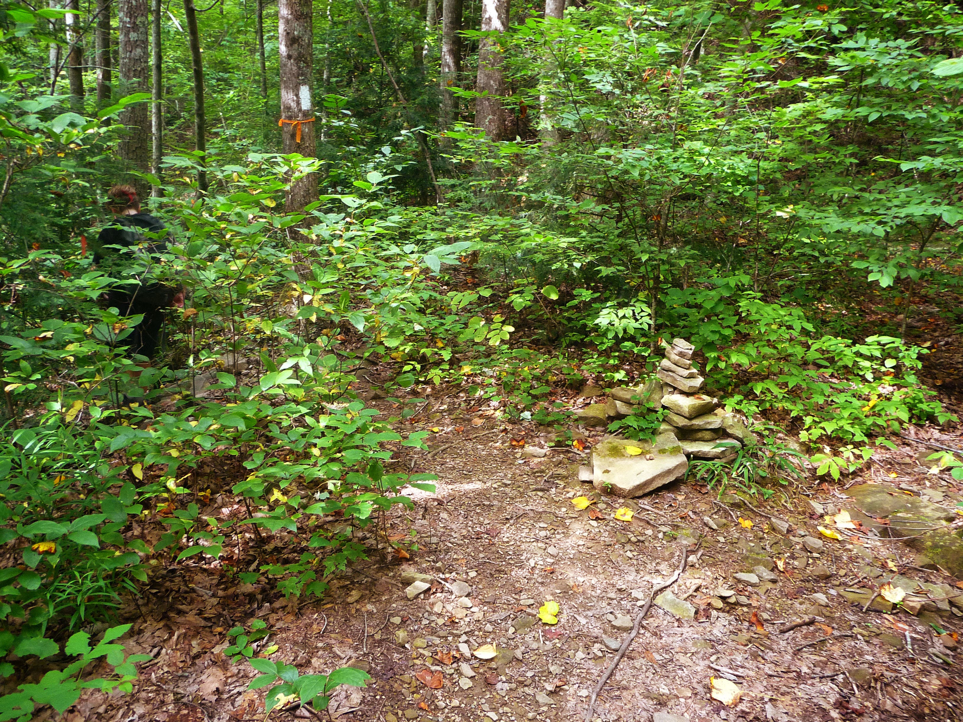
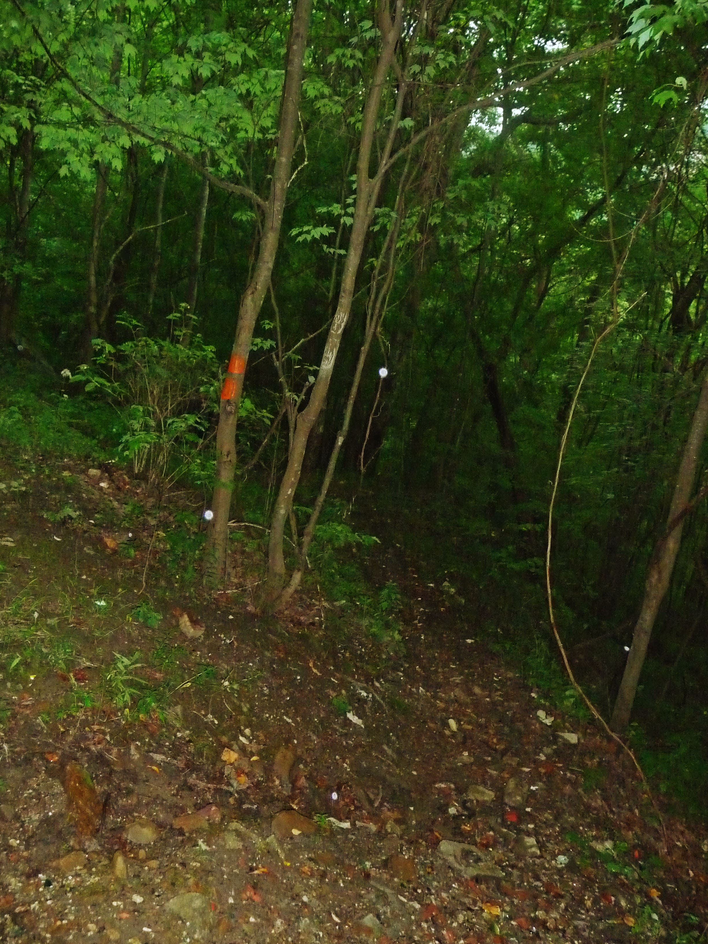
Trail takes sharp left off mining road and heads downhill. Be careful not to miss this turn, as it’s only marked with stacked rock.
NOC017
Location: 35.264423, -85.254718
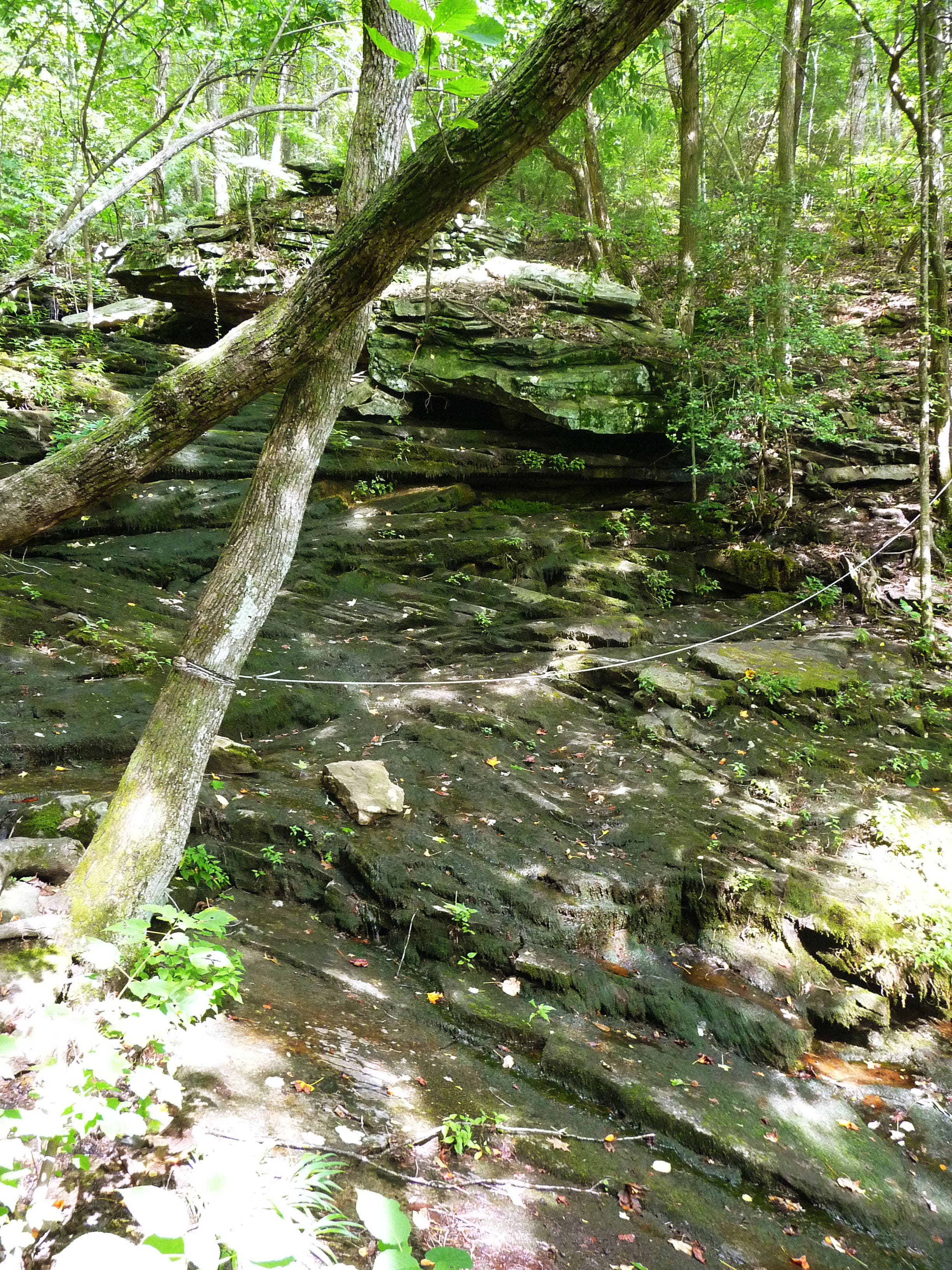
Cable-assisted creek crossing. Take care crossing in wet months.
NOC018
Location: 35.264161, -85.254811
Ladder #2 descends further into gorge.
NOC019
Location: 35.263182, -85.25753
Swimming hole and campsites. Take some time here relaxing and swimming before you turn back and retrace your steps up the hill.
NOC020
Location: 35.263947, -85.254228
After reaching the top of the hill again at the stacked stone, turn right and follow your route back toward the trailhead.
NOC021
Location: 35.246487, -85.235404
Continue straight this time to follow the Upper Loop of Hogskin Branch.
NOC022
Location: 35.242149, -85.235066
Turn right and head downhill back to the main trail.
NOC023
Location: 35.239315, -85.235513
Upper loop intersects with main trail. Turn left and retrace your steps back to the trailhead.
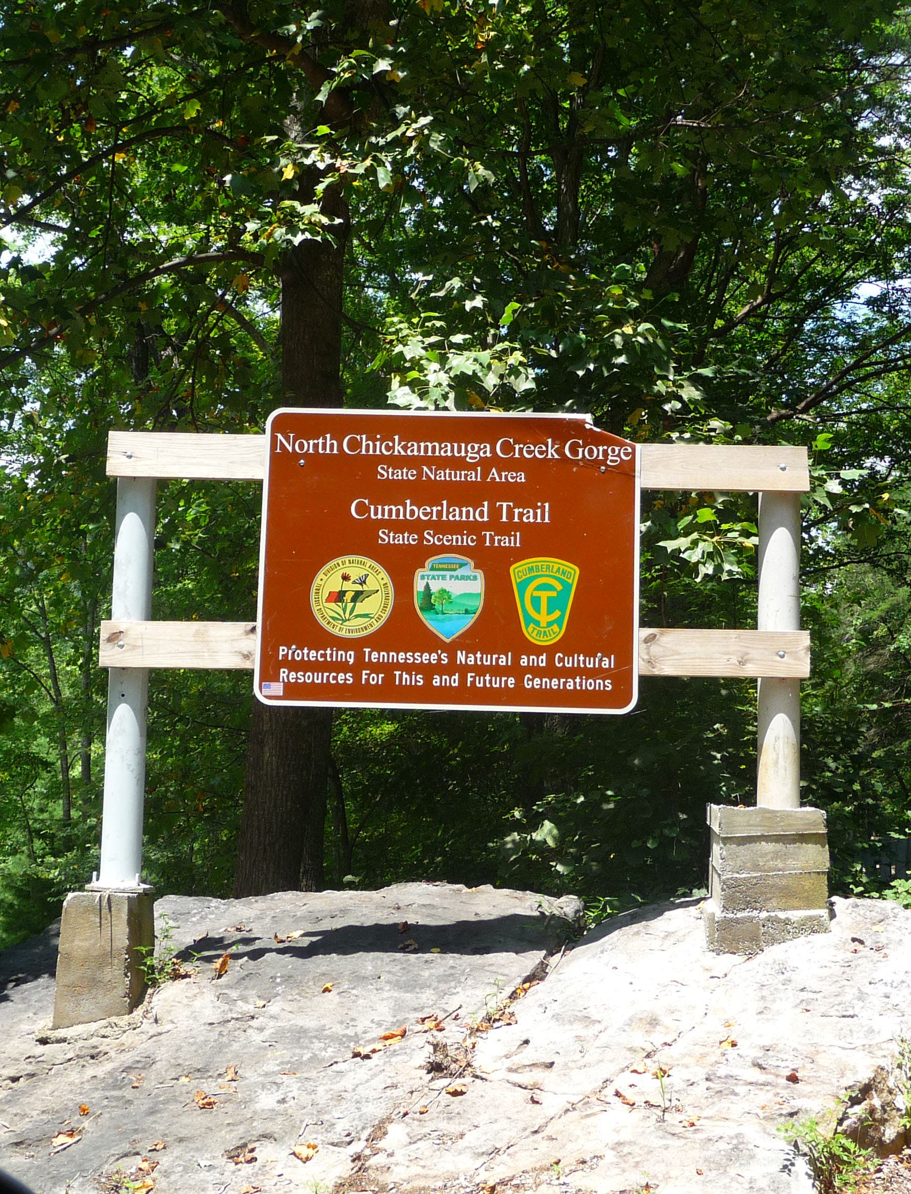
Trailhead sign
Location: 35.238434, -85.233285
Trailhead kiosk and map
Location: 35.237417, -85.234401
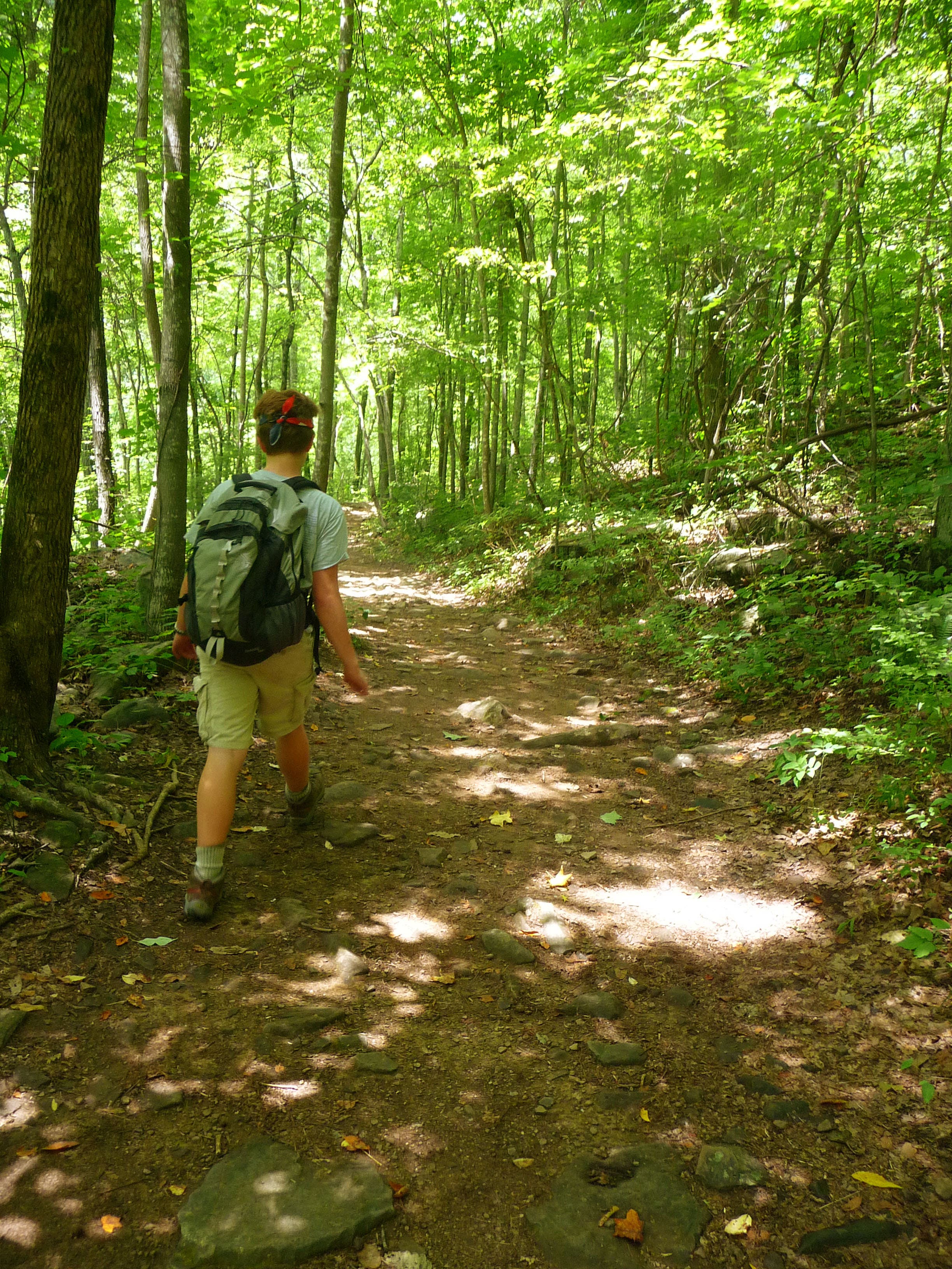
Trail begins slow ascent
Location: 35.23896, -85.235281
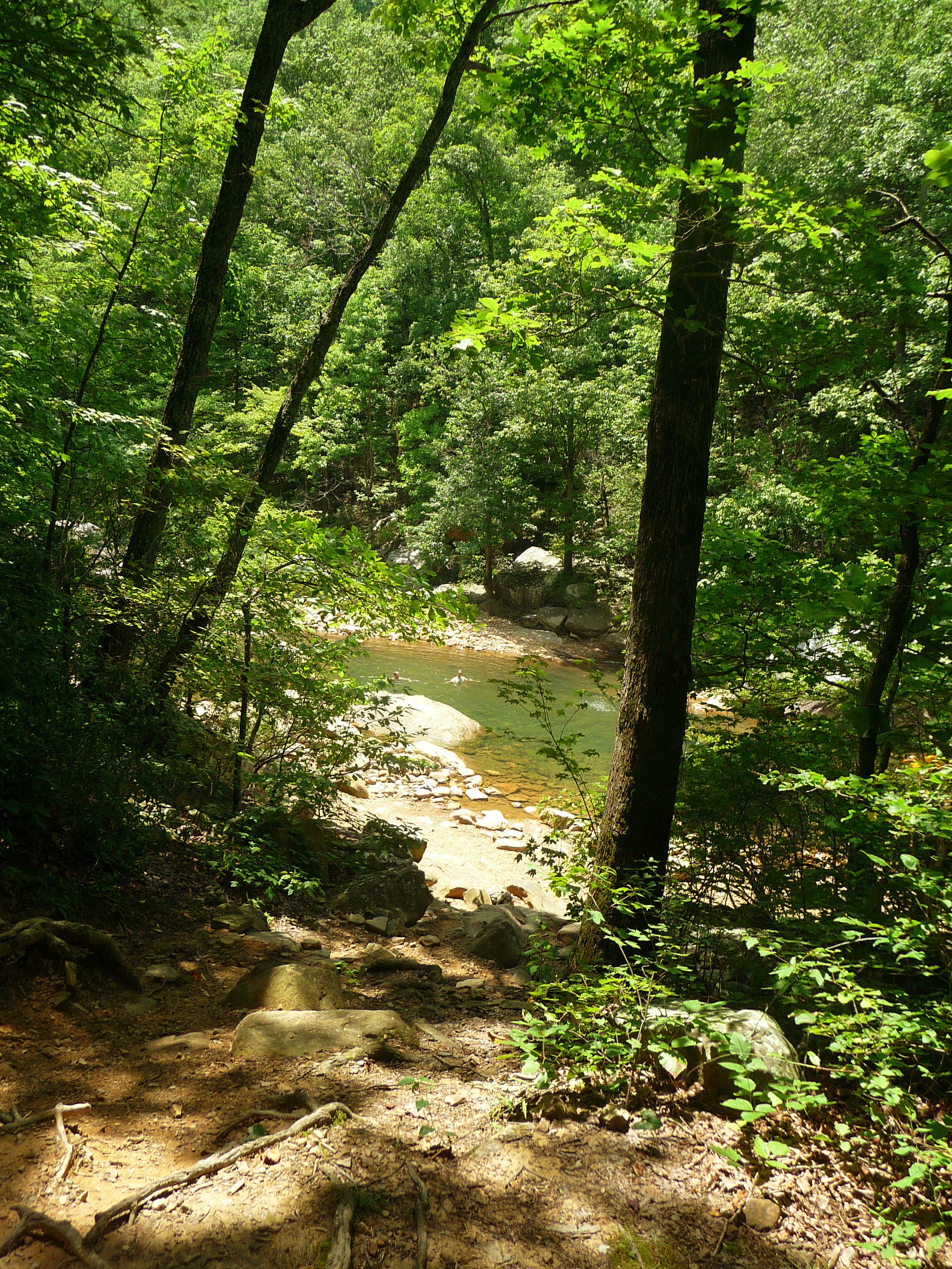
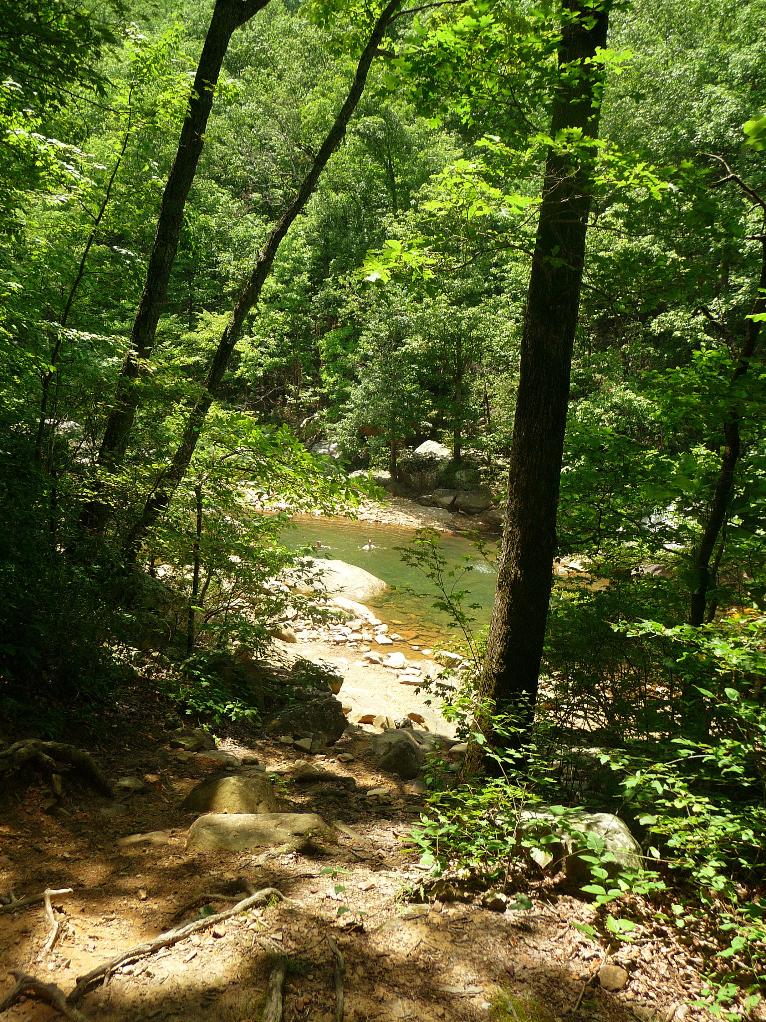
Swimming hole
Location: 35.240502, -85.236547
The trail offers access to many swimming holes
Trail turns right
Location: 35.24271, -85.236268
Crossing Hogskin Branch
Location: 35.245689, -85.236332
Lower loop intersects main trail
Location: 35.246741, -85.23586
The lower loop of Hogskin Branch joins the main trail
Rocky cliffs
Location: 35.247582, -85.236161
Coal tipple remnants
Location: 35.251507, -85.240195
Remnants of a coal tipple, a structure used to load coal onto train cars.
Switchback climb
Location: 35.251957, -85.240721
Trail begins ascent along switchbacks line with rock.
Crossing stream
Location: 35.252503, -85.240935
Mine entrance
Location: 35.252332, -85.241663
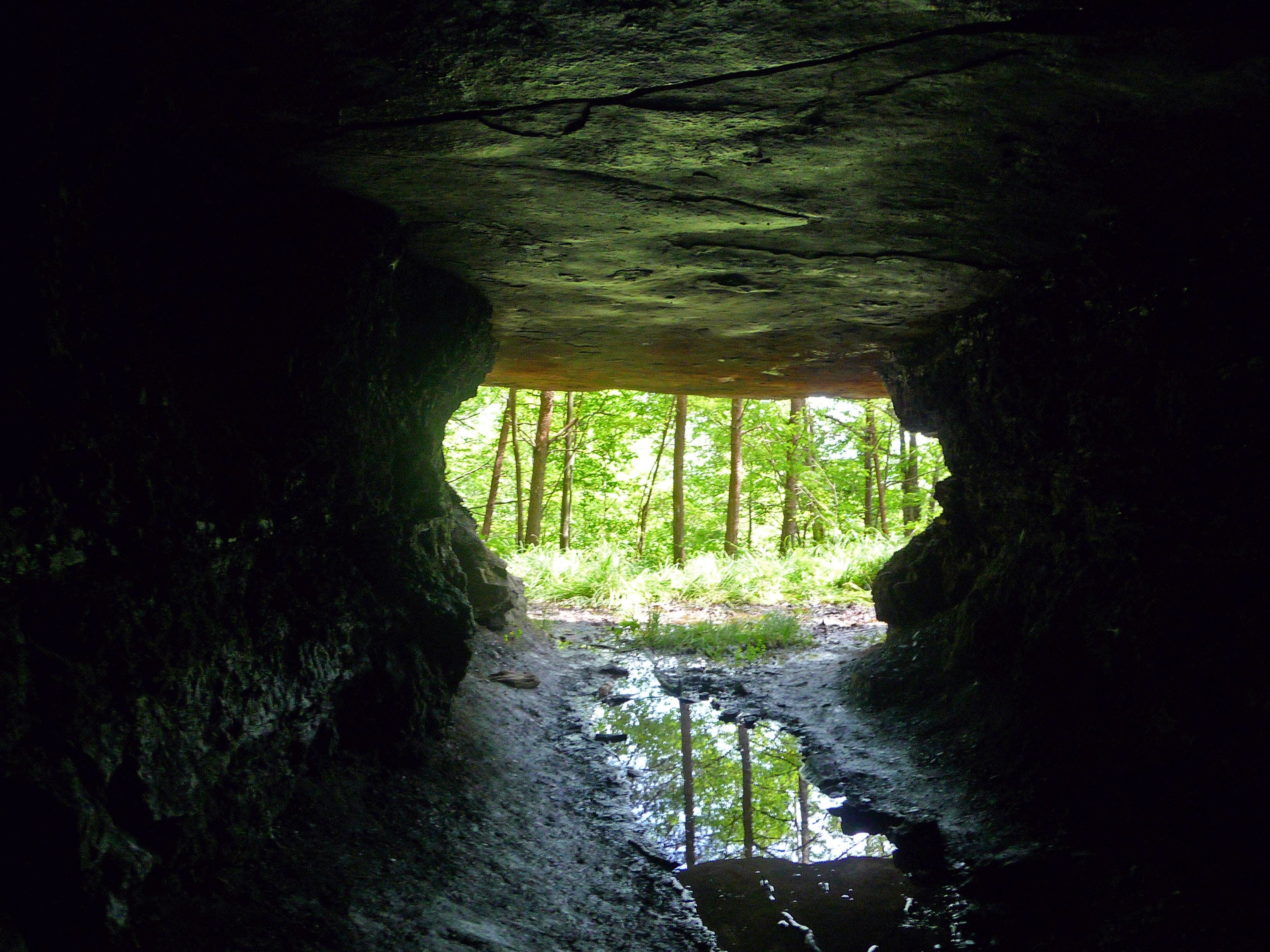
From inside the mine
Location: 35.252523, -85.241954
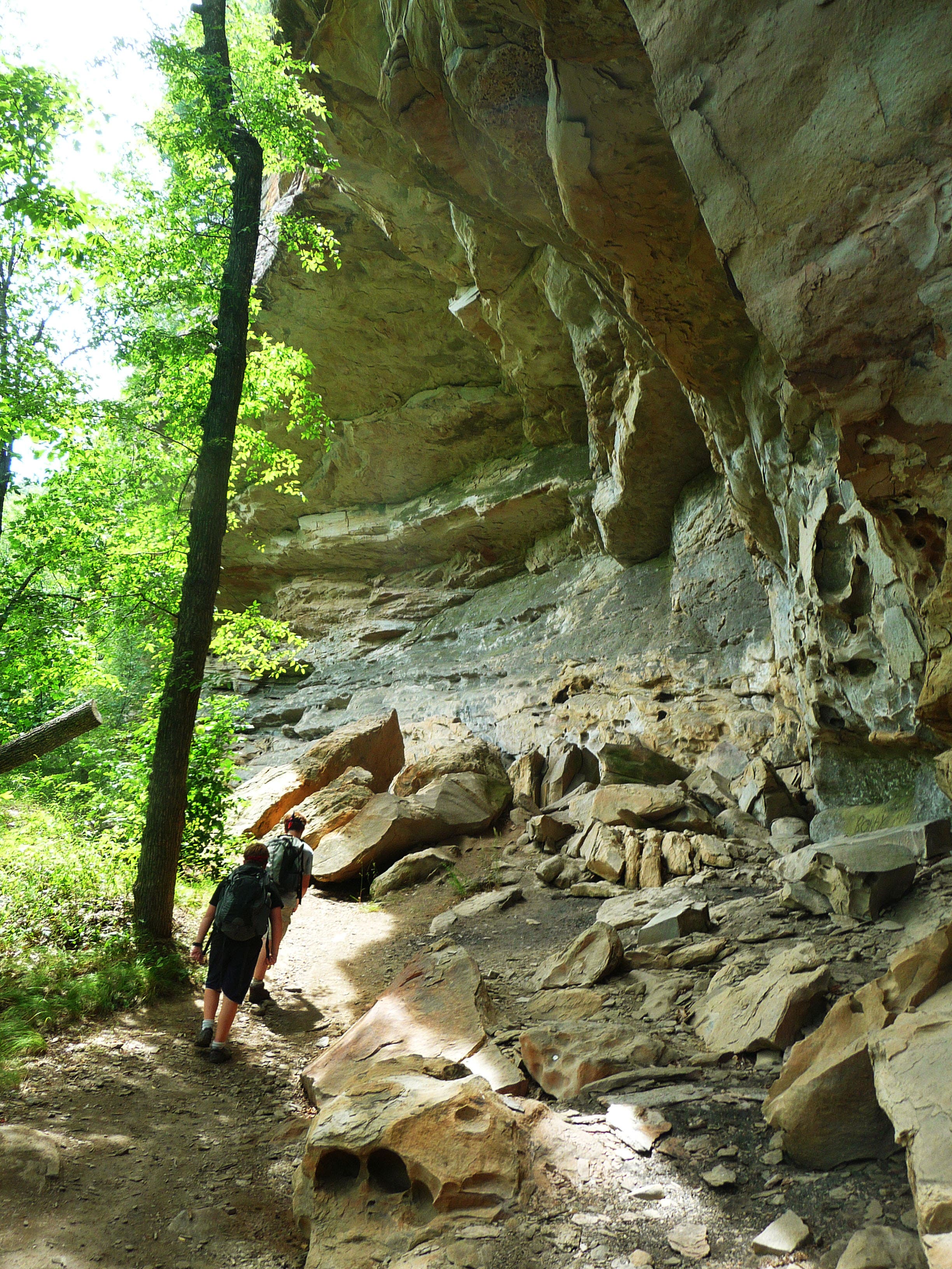
Hiking along rocky cliffs
Location: 35.249124, -85.250301
Ladder #1
Location: 35.249795, -85.253648
Reach the upper part of the trail by this set of ladders.
Scenic overlook into the gorge
Location: 35.250189, -85.253648
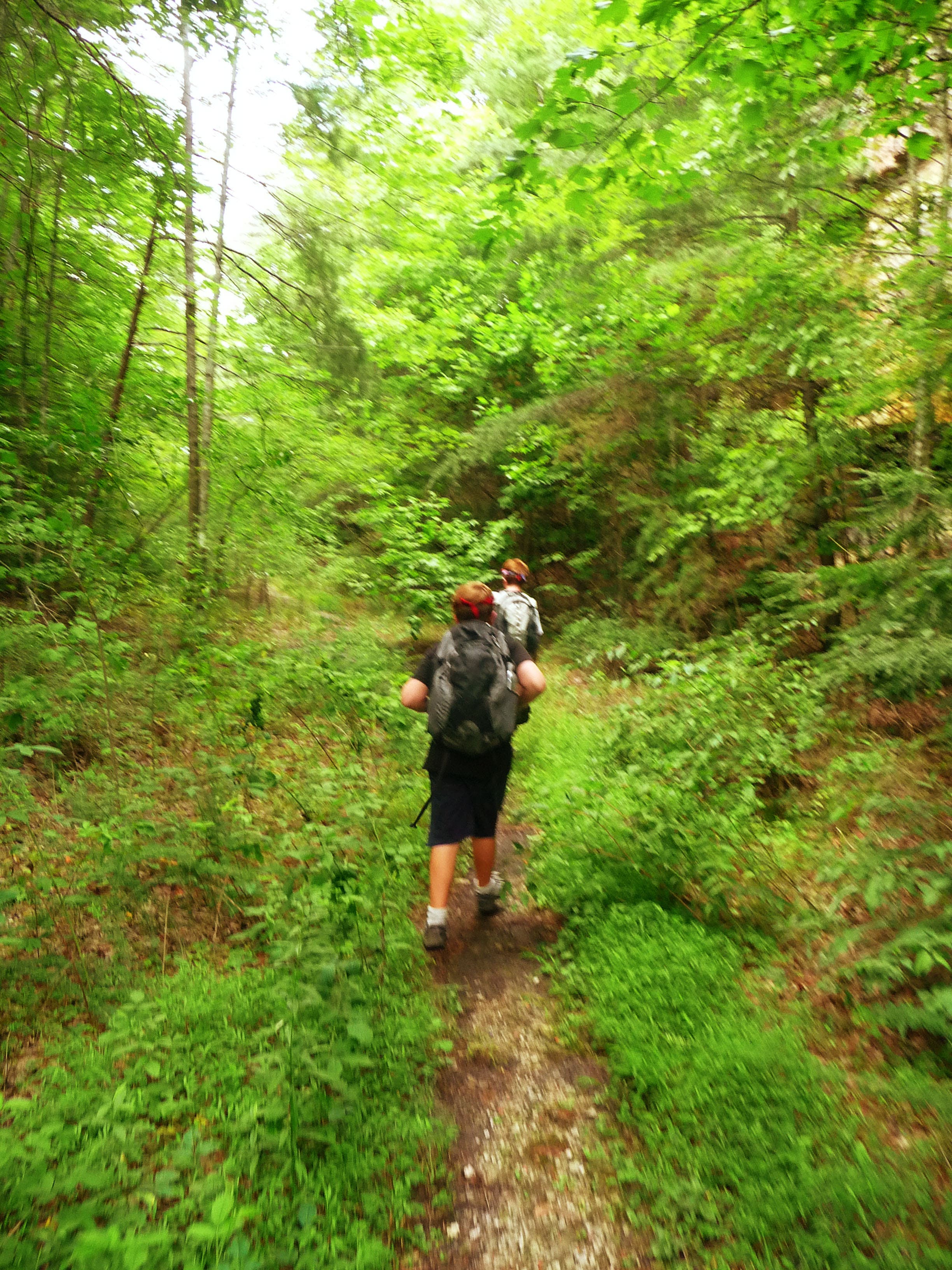
Trail flattens out
Location: 35.251612, -85.253198
Trail follows an old roadbed.
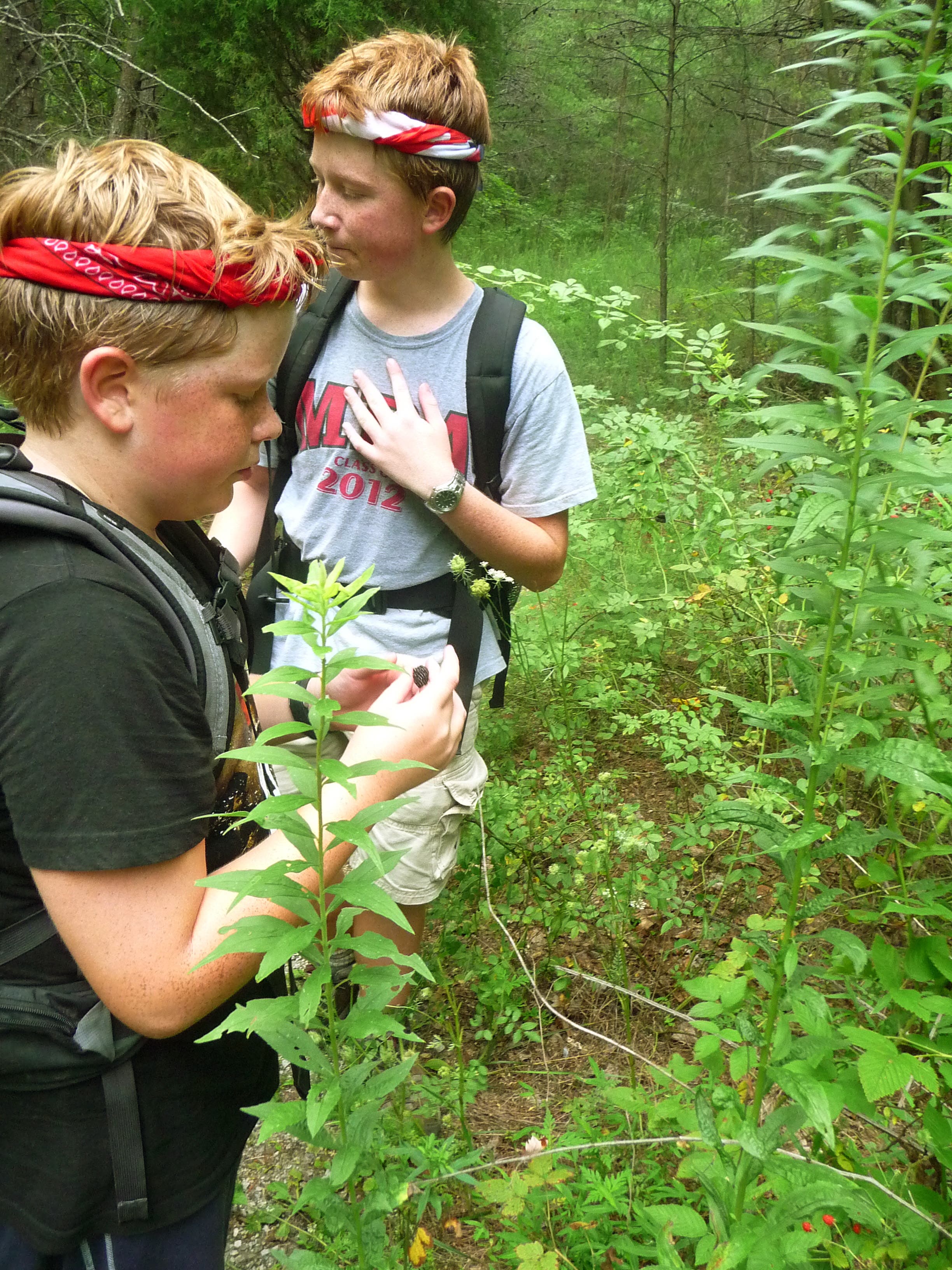
Picking wild blackberries
Location: 35.254311, -85.253284
Summer months provide sweet, wild treats along the trail.
Stream crossing
Location: 35.255818, -85.25367
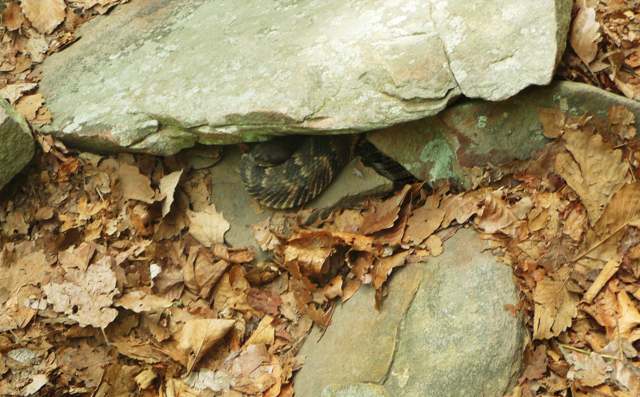
Timber Rattler
Location: 35.260688, -85.254829
Timber rattlesnake coiled under rocks.
Left turn
Location: 35.263982, -85.254228
Watch for this hard left turn only marked with stacked stone.
Cable crossing
Location: 35.264423, -85.254718
Ladder #2
Location: 35.264161, -85.254811
Second ladder helps the hiker further down into the gorge.
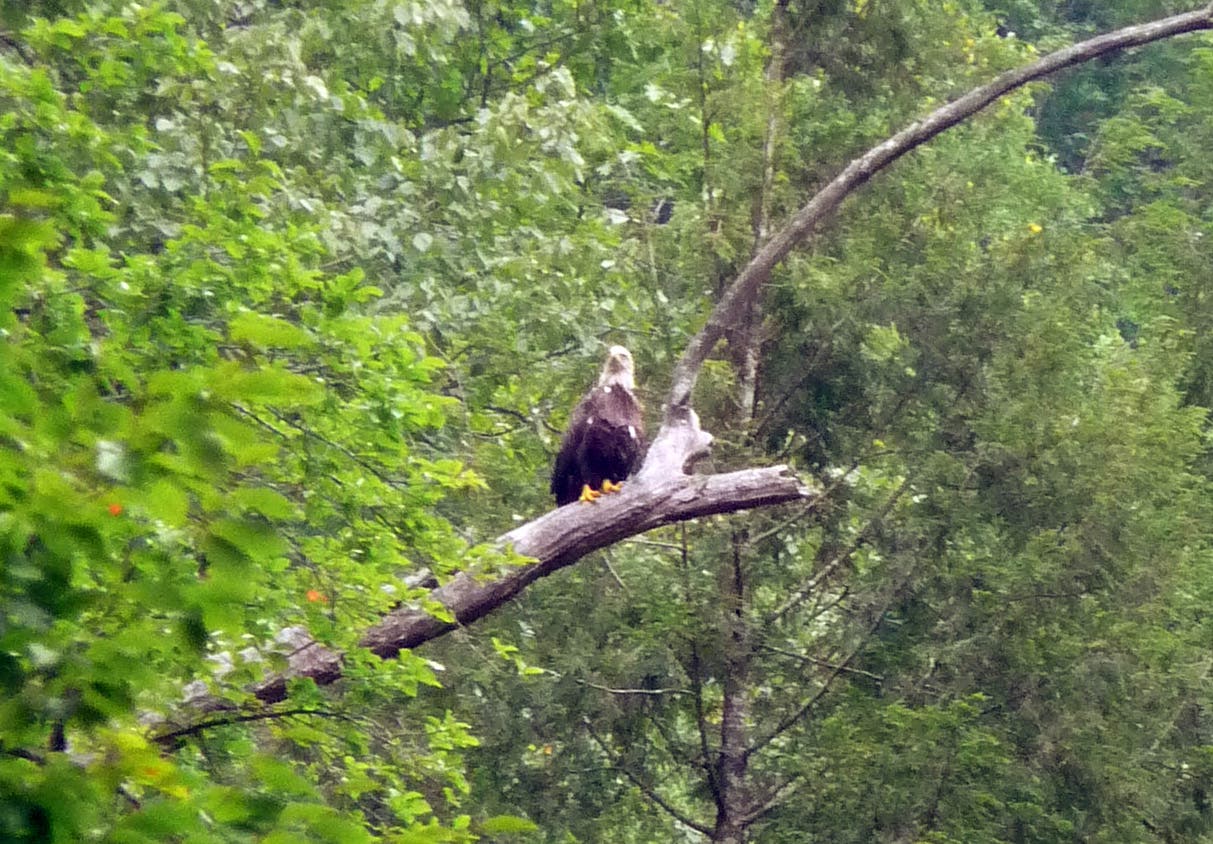
Bald eagle
Location: 35.263176, -85.258284
Bald eagle spotted while at the swimming hole.
Swimming hole
Location: 35.263176, -85.257146
Panorama of swimming hole on North Chickamauga Creek.
Turn right to head back to main trail
Location: 35.242079, -85.235195