Chattanooga, TN: Cloudland Canyon via West Rim Trail

One of the most popular trails in Cloudland Canyon, the West Rim Trail strolls alongside the canyon rim, taking in various overlook points along the way. From the parking area, descend steps along the east rim down to the canyon floor. Cross Daniel Creek and then begin a switchback climb up to the top of the west rim (where the West Rim Trail heads north). The return trip strolls through a mixed deciduous forest dotted with boulders and the occasional stream crossing.
-Mapped by Scott Sanders, GroundedGraphics.com
Trail Facts
- Distance: 7.4
Waypoints
CLD001
Location: 34.8348209, -85.4804315
At the beginning of the West Rim Trail, walk towards the canyon, and turn left on the gravel pathway following yellow blazes (throughout the hike). Ignore all side trails to campsites, cottages, etc.
CLD002
Location: 34.834963, -85.4808303
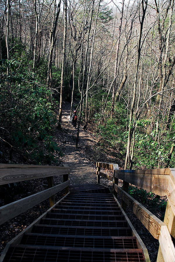
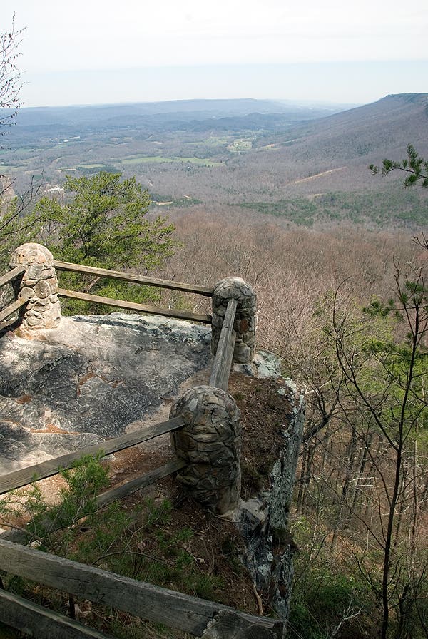
Pass an overlook of the Cloudland Canyon. Ahead, the trail descends steps into the canyon.
CLD003
Location: 34.8337676, -85.4830388
Turn right @ 3-way junction.
CLD004
Location: 34.8336376, -85.4834531
Make the first of two left turns at consecutive 3-way junctions.
CLD005
Location: 34.8331704, -85.4846274
Turn right @ 3-way intersection.
CLD006
Location: 34.8325117, -85.4848189
Cross a wooden bridge over Daniel Creek. Just ahead a switchback to the right starts a series of turns up to the canyon rim.
CLD007
Location: 34.8331133, -85.4861194
Turn right @ 3-way intersection. To the left is to the primitive campground area.
CLD008
Location: 34.8361426, -85.4837949
In this tricky area of trail intersections, continue on the West Rim Trail following yellow blazes.
CLD009
Location: 34.8389213, -85.4842973
Cross a wooden bridge over Whiteoak Spring and bear right. Do not go upstream at this point; the trip back returns through this waypoint.
CLD010
Location: 34.8491636, -85.4889724
At an observation point at the northern tip of the West Rim, the trail loops back to the south.
CLD011
Location: 34.8467819, -85.4900368
Turn left @ 3-way junction.
CLD012
Location: 34.8461617, -85.4895616
Cross the paved road and continue south.
CLD013
Location: 34.8409821, -85.4856864
Turn left @ 3-way junction; from here, continue on to waypoint 9, turn right at the intersection and then backtrack to the trailhead.
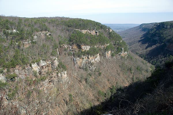
Cloudland Canyon
Location: 34.8349916, -85.480805
Canyon Steps
Location: 34.8348089, -85.4811001
West Rim View
Location: 34.8382873, -85.4814434
West Rim View
Location: 34.8436411, -85.4820871
A broad view of Cloudland Canyon
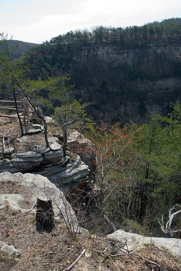
Observation Point
Location: 34.8491002, -85.4889965
The northern tip of the West Rim