Charlotte, NC: Chestnut Knob Loop

This quiet, 6.5-mile loop through North Carolina South Mountain State Park rewards dayhikers and backpackers with several above-the-trees overlooks to surrounding mountains and distant falls.
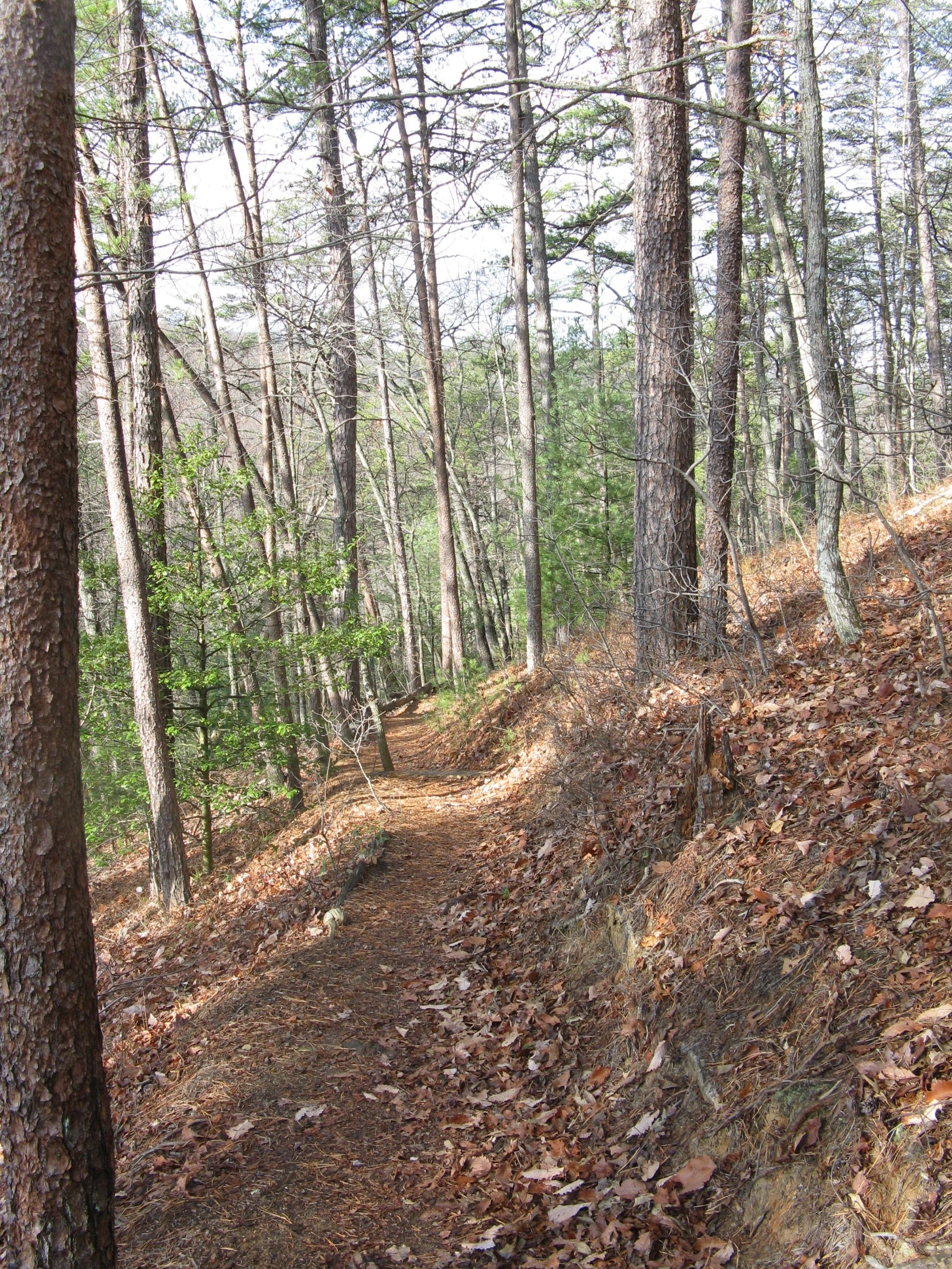
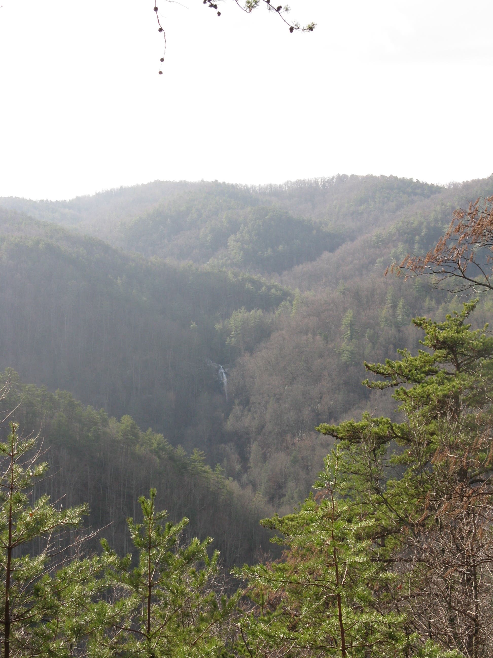
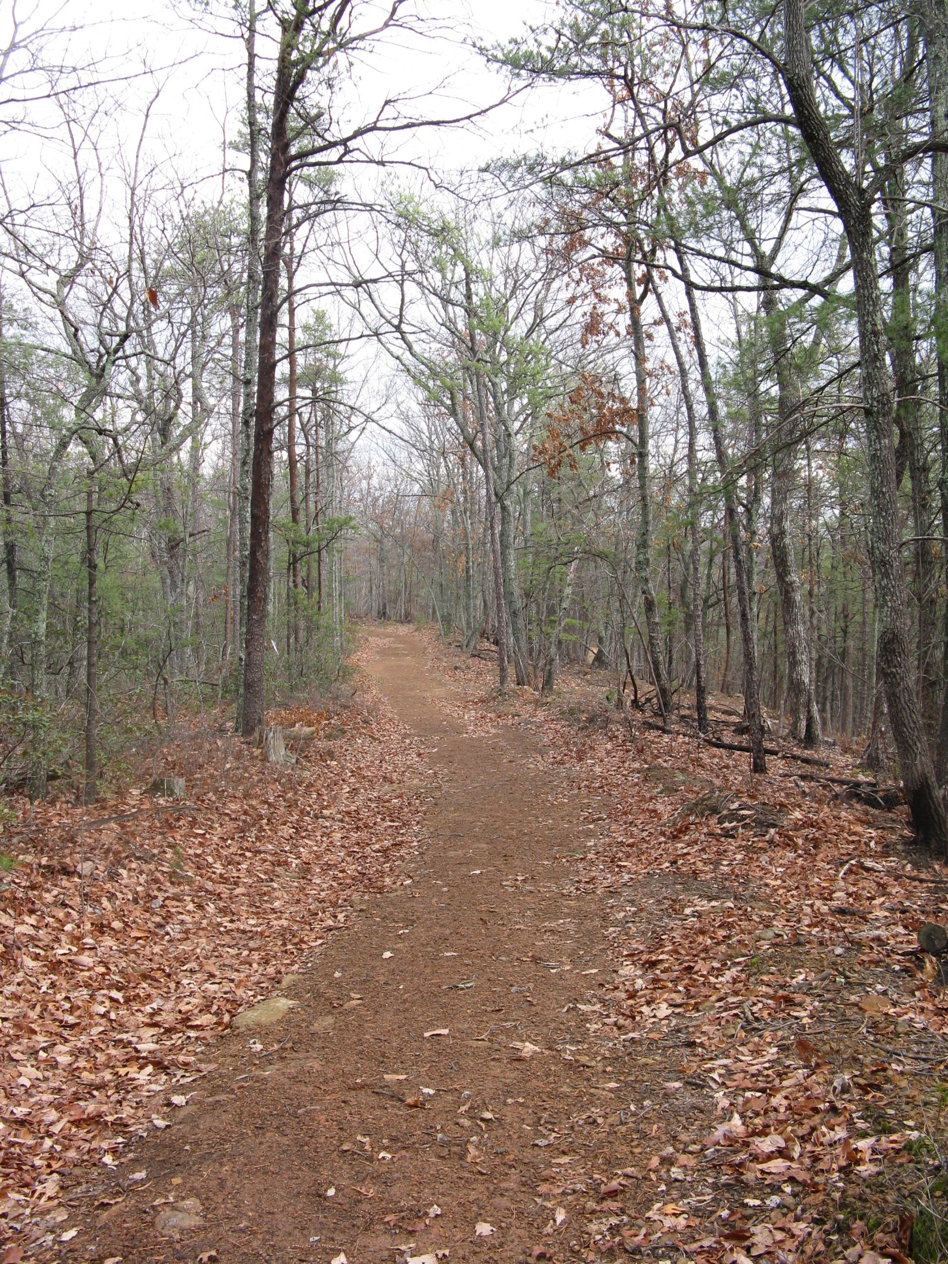
Start heading west on the High Shoals Falls Loop trail through Canadian hemlocks and white pines for 0.2 mile before turning north onto the Chestnut Knob trail. The route then ascends up a south facing slope past forest recovering from beetle kill. At mile 0.8, check out an overlook of Jacob Fork River Gorge for a distant view High Shoals Falls. Back on the main route, the climbing continues.
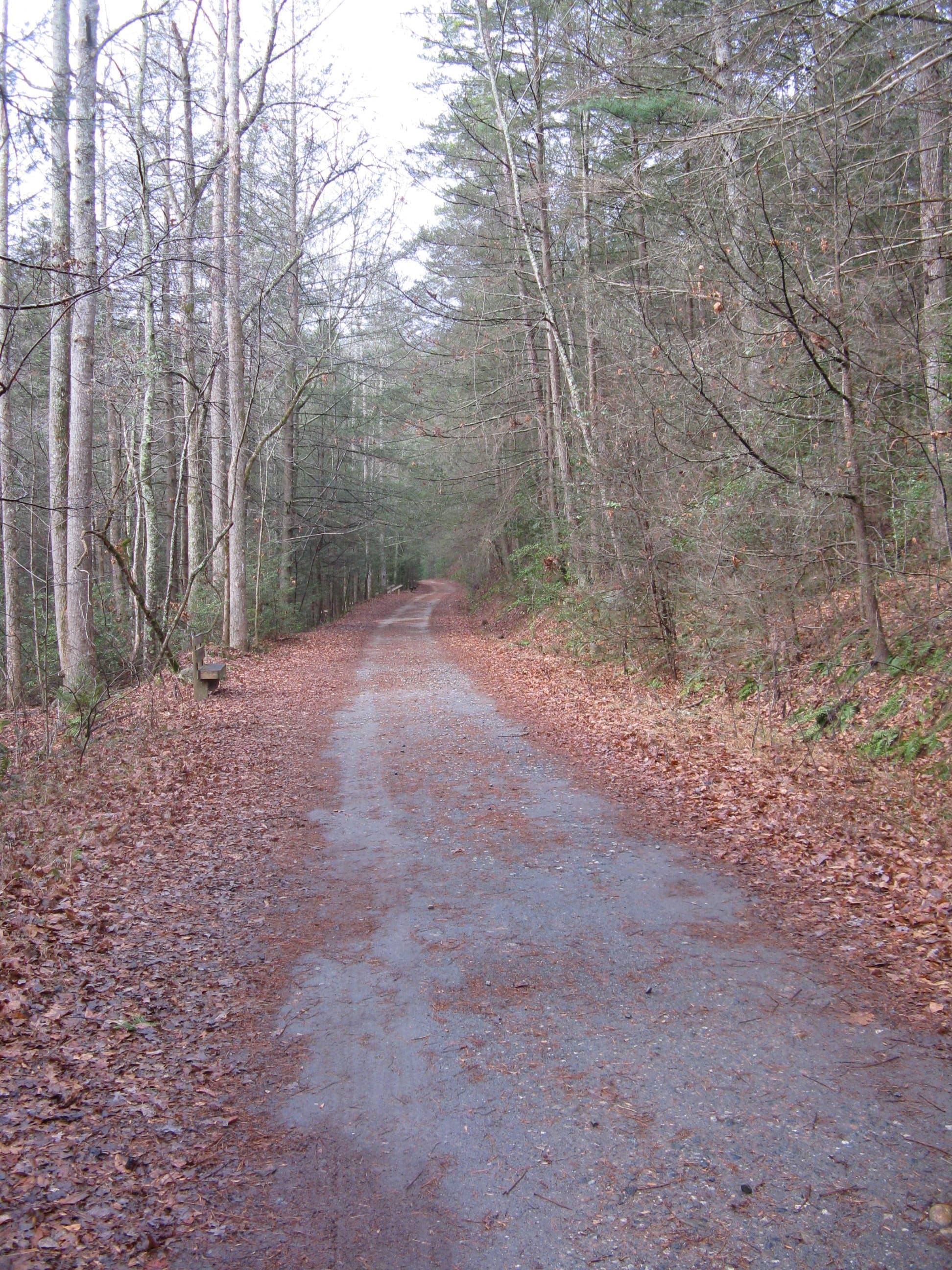
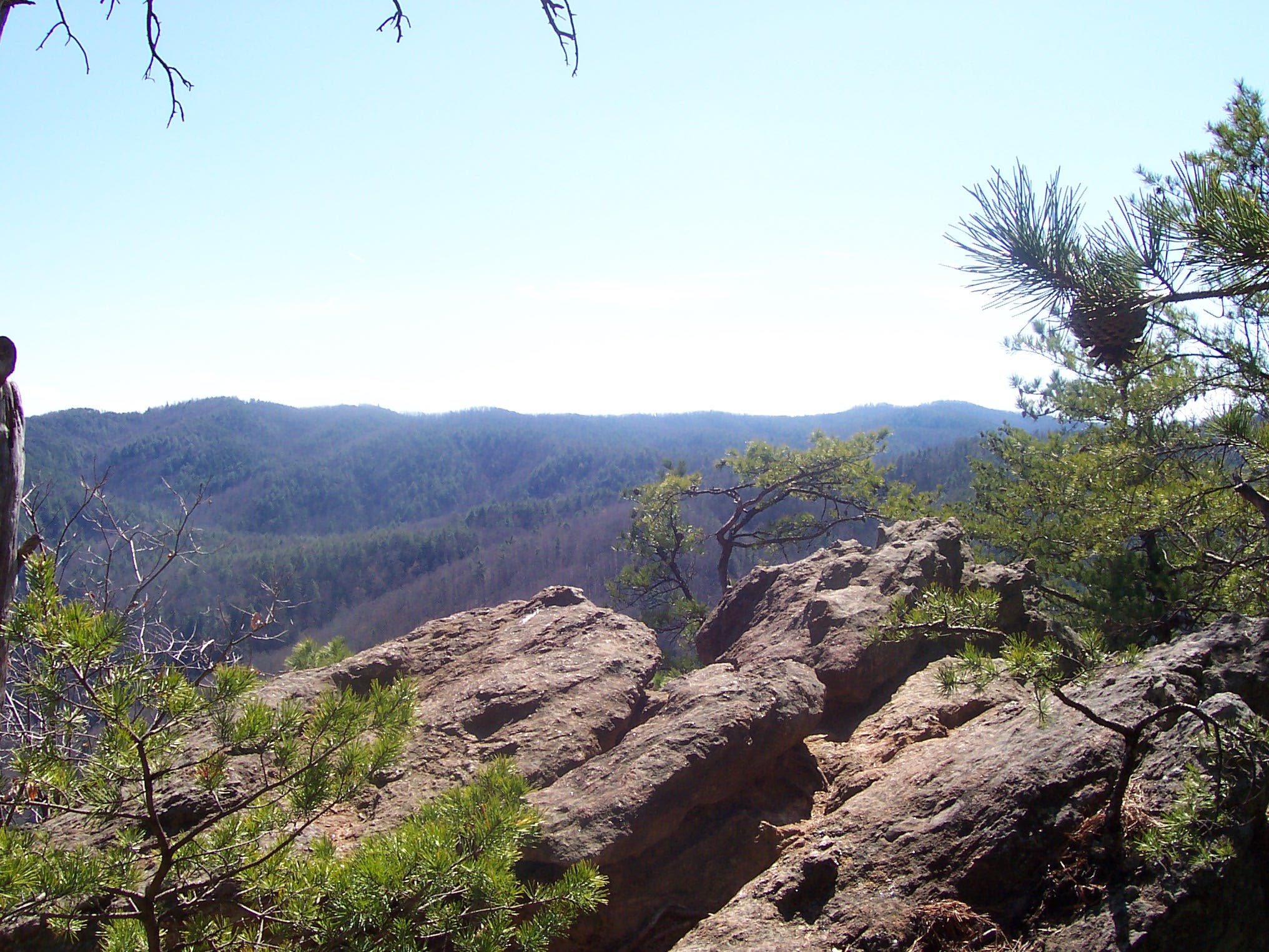
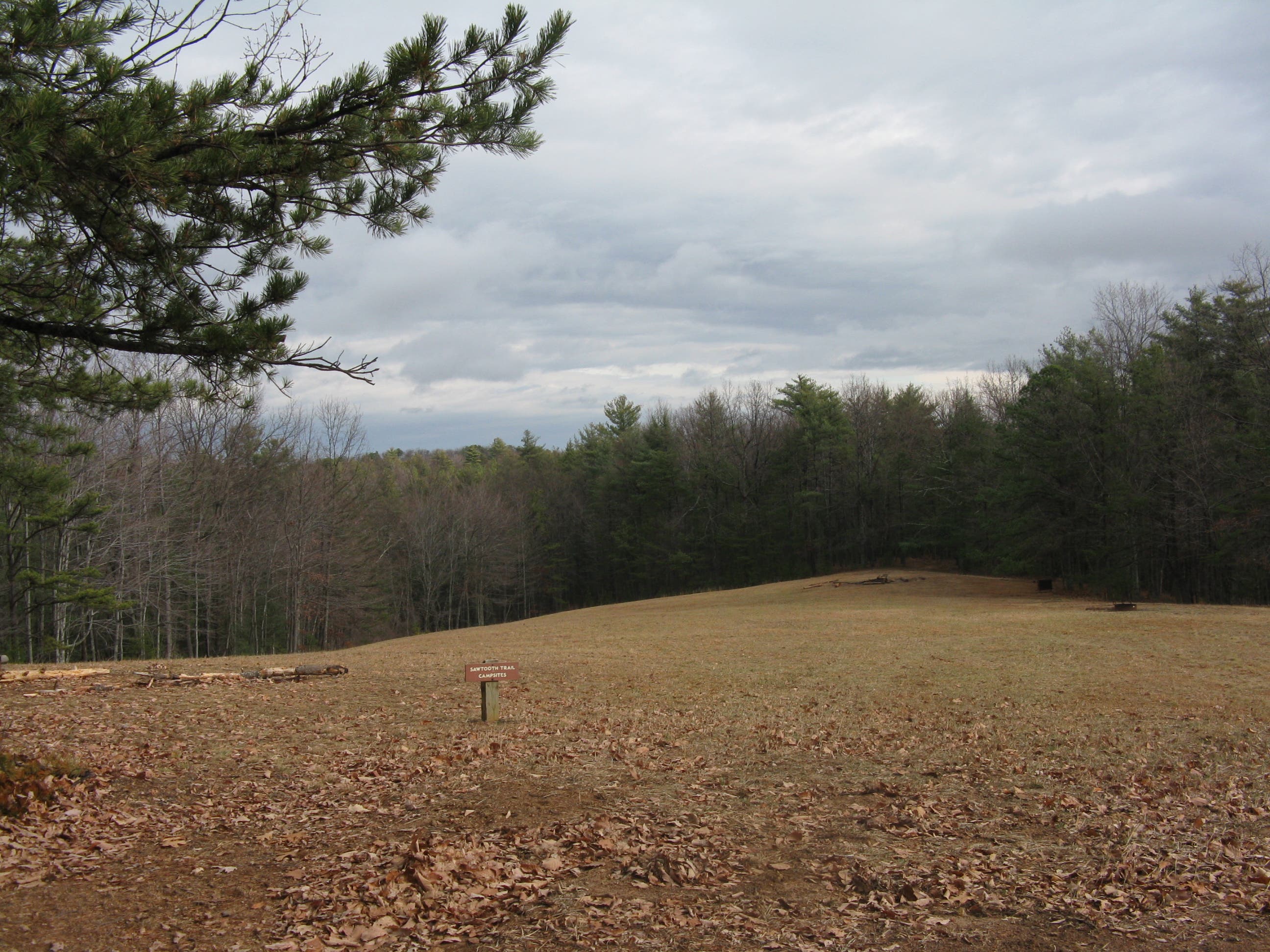
About 2 miles in, take a left to head up to the Chestnut Knob overlook which boasts views of Ravens Rock to the southwest, and nearby Benn Knob. Autumn hikers are rewarded with a sublime sea of foliage from this spot. After inhaling the views, head back to the loop and start descending to the north. Turn right at the Sawtooth Trail intersection and continue on the dirt road. At mile 2.7, a spur trail leads to the Sawtooth campsites.
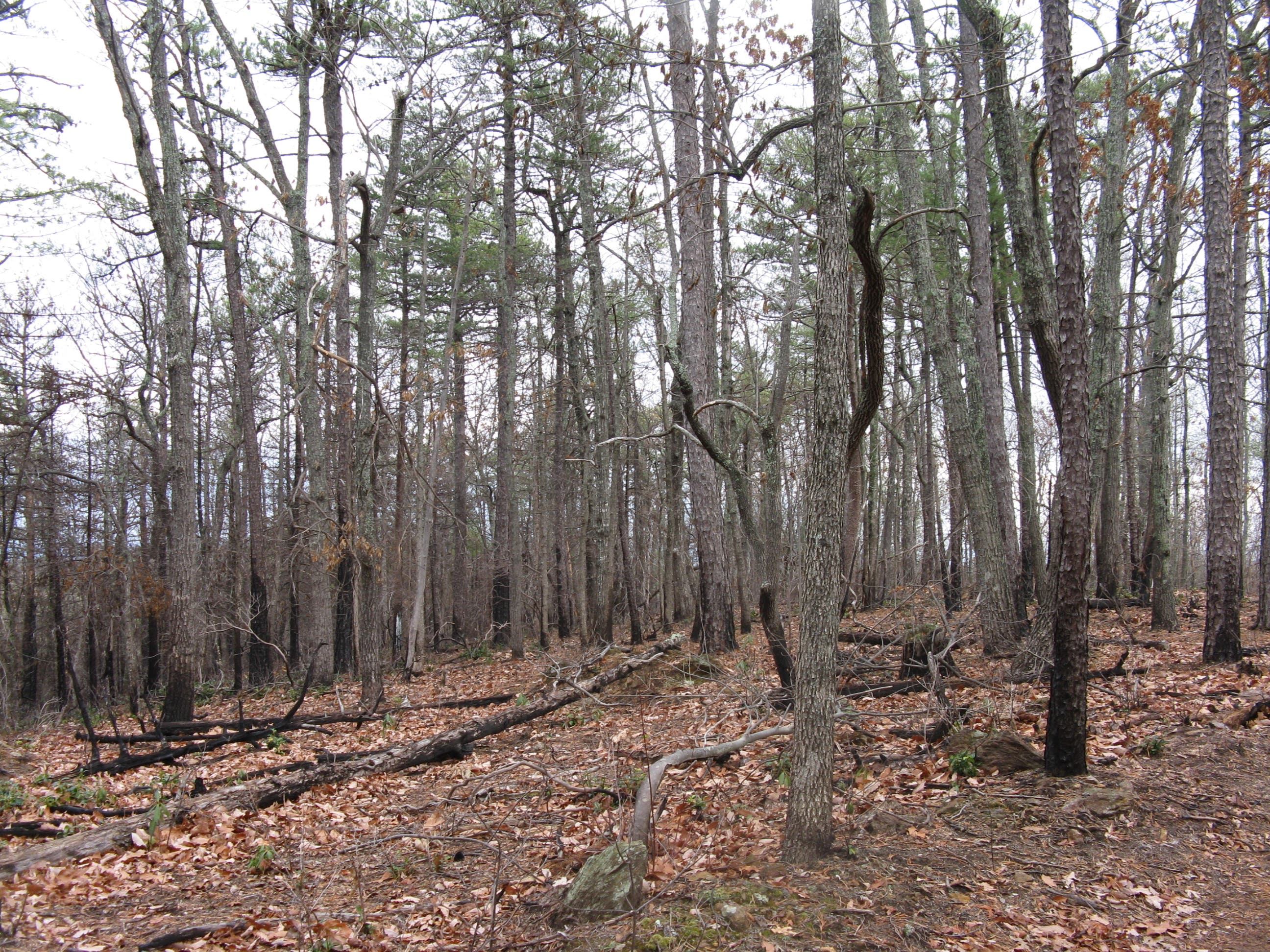
The trail then passes by a prescribed burn area, before crossing an old boundary line, which is evident as the forest composition changes. The trail ascends lightly, crossing a stream and soon thereafter meets the Upper CCC trail at mile 4. Take a right here and descend to the Little River Trail. Continue over a wooden bridge and enjoy views to the east, on the way back to the trailhead.
-Mapped by Tim Johnson
Trail Facts
- Distance: 10.5
Waypoints
SMT001
Location: 35.6022532, -81.629405
From the west end of the Jacob Fork parking area, follow the asphalt path through a picnic area to a gravel road. The High Shoals Fall Loop trail begins amidst Canadian Hemlocks and scattered White Pines and is blazed with blue circles. Continue straight on the trail past steps on the left that lead to an outdoor classroom.
SMT002
Location: 35.601286, -81.633227
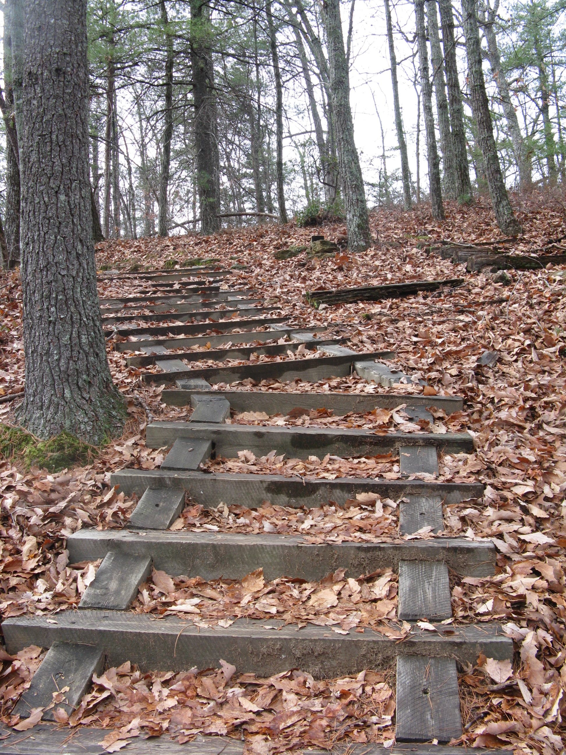
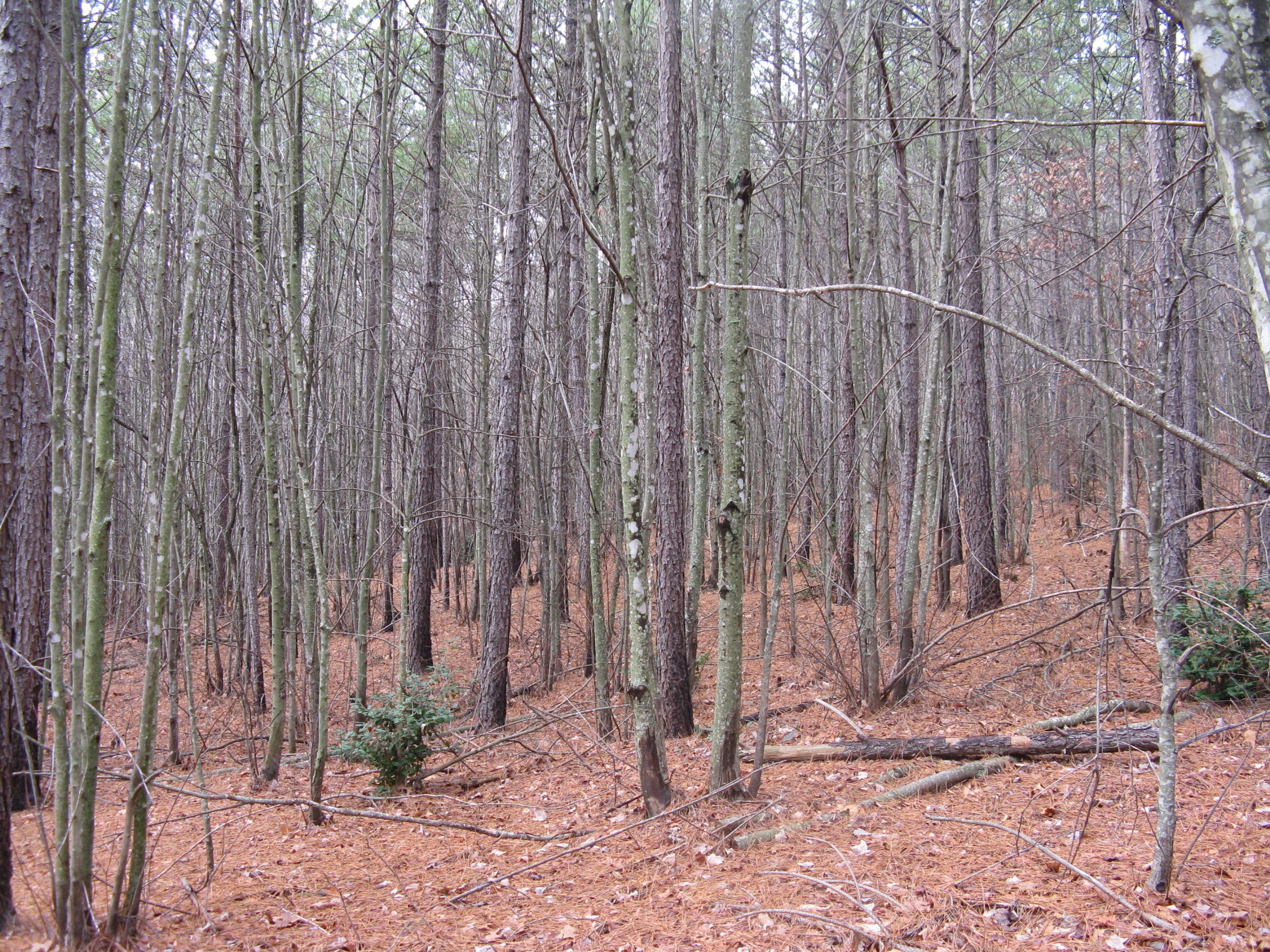
Turn right onto the Chestnut Knob Trail and follow white diamond blazes over constructed water bars and stairs. Follow the switchbacks as the trail ascends a south facing slope. The Hemlocks disappear and are replaced by mixed pines as the trail ascends to warmer, dryer areas on the slope. On the side of the trail, an opening created by the Southern Pine Beetle has started to fill up with mountain laurel, blueberry bushes, Black Gum and Scarlet Oak.
SMT003
Location: 35.604203, -81.635341
Turn right @ a T-junction and walk 100 yards to the Jacob Fork River Gorge Overlook for distant views of High Shoals Falls. Retrace your steps to main trail and continue north uphill. Ahead: The trail gently ascends and widens.
SMT004
Location: 35.606227, -81.634959
Make a sharp left across an intermittent stream to continue through the pine and mixed oak hardwood forest. Wild blueberry and huckleberry bushes grow alongside the path. The rocky trail then narrows to a footpath as it climbs constructed steps toward the ridgeline.
SMT005
Location: 35.611108, -81.639736
Turn left @ T-junction on an old roadbed and follow the flat trail along the ridge. Pass a hitching rail on the right as the road turns into a rugged footpath leading to a rocky outcrop.
SMT006
Location: 35.607859, -81.639912
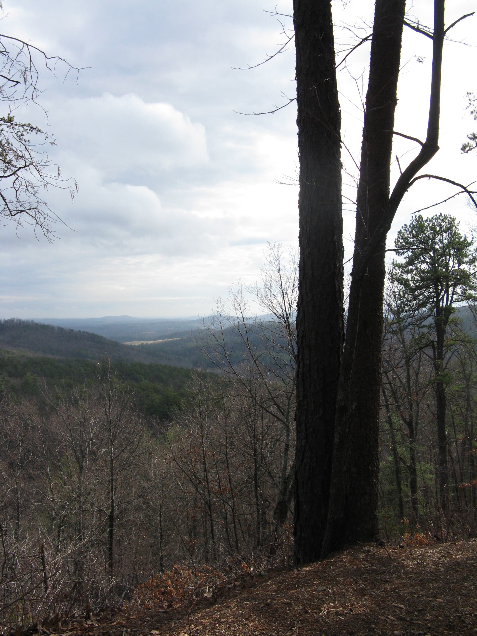
Chestnut Knob Overlook: Check out views of Benn Knob on the park’s southern boundary and Raven Rock to the southwest. On a clear day, the skyline of Charlotte as well as the Kings and Crowders Mountains are visible in the distance. Return to waypoint 5 and continue north on the main trail.
SMT007
Location: 35.6134533, -81.6383314
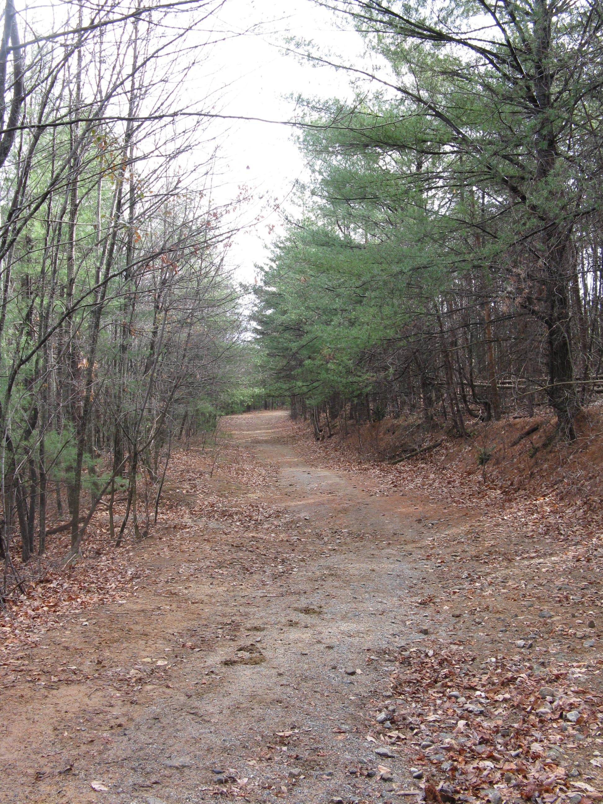
Turn right at the junction with Sawtooth Trail. The blue hexagon blazed trail descends moderately on a dirt and needle covered roadbed.
SMT008
Location: 35.615921, -81.635197
For camping, turn left and follow the flat spur trail to the Sawtooth Trail campsites.
SWT009
Location: 35.618457, -81.632998
The two acre field has three official campsites with metal fire rings, but is roomy enough for big groups. A pit toilet and food storage box can be found at the far end of the field.
SMT010
Location: 35.61649, -81.630422
An open corridor and change in forest composition signals the crossing of an old boundary line. The trail meanders through a non-native loblolly line forest with a red maple understory before leaving the young forest and crossing a shallow stream. The trail then ascends and, on the left side of the trail, the long needles of the loblolly pine can still be seen, while on the right, more natural and native pines can be seen.
SMT011
Location: 35.617197, -81.626574
The trail crosses a shallow stream.
SMT012
Location: 35.615928, -81.624128
Take a right @ a T-junction onto the Upper CCC trail and begin a gentle descent.
SMT013
Location: 35.611696, -81.621247
Turn right on blue triangle blazed Little River Trail. In winter listen for Juncos and Kinglets in the surrounding forest. Ahead: near the creek, as the trail levels, cool, moist air helps evergreen dog hobble and rhododendron thrive. Running cedar and Christmas ferns cover the forest floor.
SMT014
Location: 35.610066, -81.623729
Make a sharp right and follow the sounds of the creek upstream.
SMT015
Location: 35.610875, -81.626361
Cross a wooden bridge and begin a climb up a steep road.
SMT016
Location: 35.604669, -81.624355
Continue straight at the intersection with Turkey Ridge Trail.
SMT017
Location: 35.601248, -81.624933
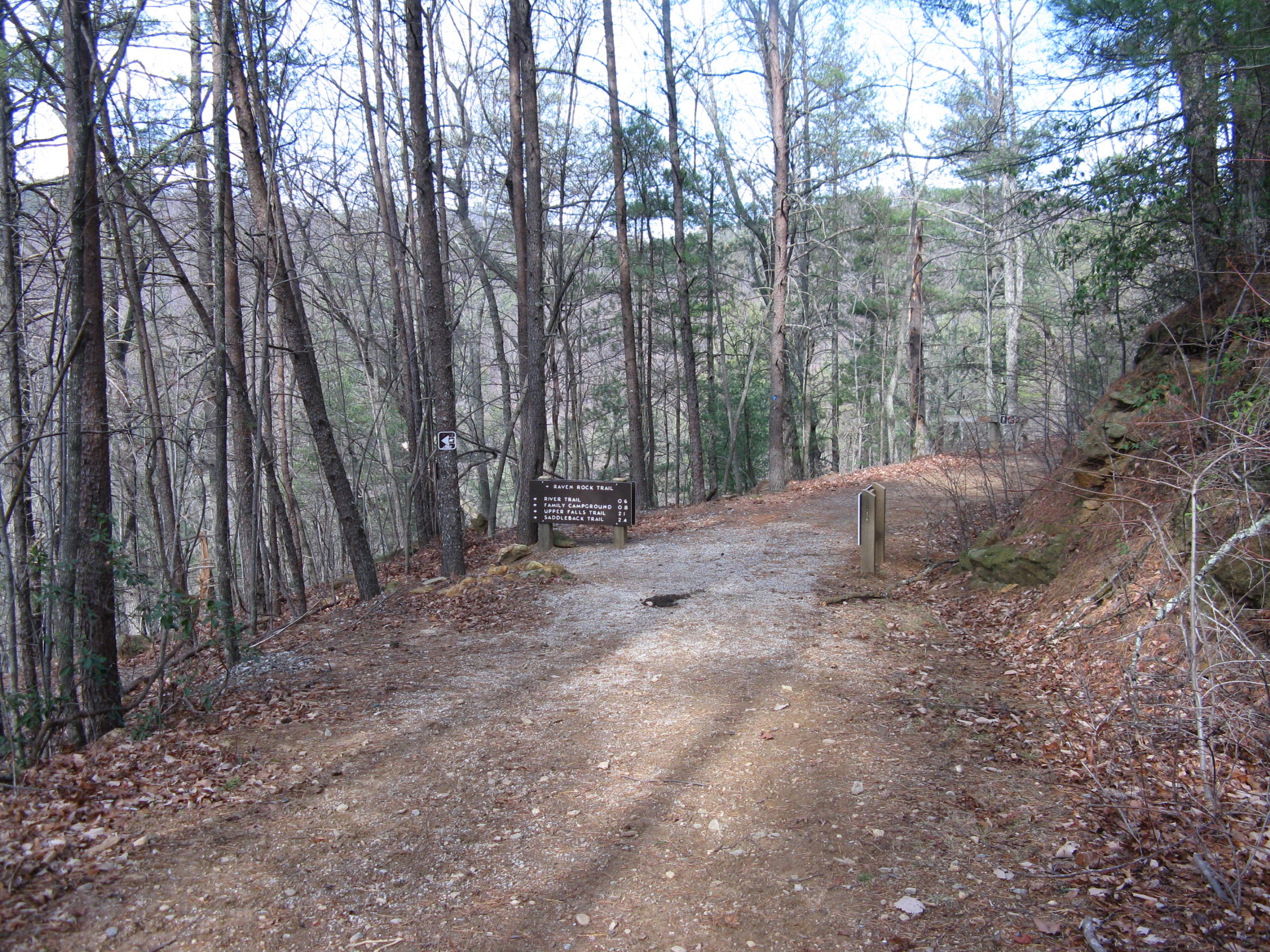
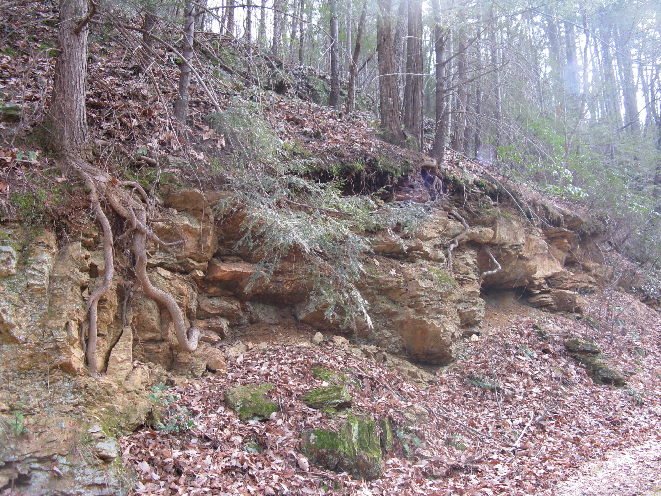
Stay straight at the intersection with the Raven Rock Trail. The path descends a nicely graded road and then traverses a dry, south-facing slope. To the right, unique rock outcrops show the effects of weathering. To return to the Jacob Fork parking area, follow the trail between the park maintenance building and ranger residence.
High Shoals Falls Loop Trail
Location: 35.6021137, -81.6312933
Chestnut Knob Trail
Location: 35.602986, -81.6352415
Jacob Fork River Gorge Overlook
Location: 35.6039281, -81.6348553
High Shoals Falls in the distance
Timber Steps
Location: 35.6116041, -81.639061
Chestnut Knob Overlook
Location: 35.607836, -81.6397476
Sawtooth Campsites Spur Trail
Location: 35.6172211, -81.6346836
Sawtooth Campsites
Location: 35.6184771, -81.6329241
Prescribed Burn Unit
Location: 35.6164536, -81.63257
Choked Loblolly Pine and Red Maple Forest
Location: 35.6162792, -81.6284609
Stream Crossing
Location: 35.6171863, -81.6265297
Upper CCC Trail
Location: 35.6135143, -81.6224635
View to the Southeast
Location: 35.6062659, -81.6242123
Trail Intersection
Location: 35.6012936, -81.6248453
Little River Trail
Location: 35.6046957, -81.6251564