Charleston: Palmetto Trail (Awendaw Connector)


Trail Facts
- Distance: 8.0
Waypoints
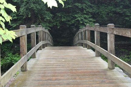
Footbridge
Location: 33.0320701599121, -79.5750198364258
Sturdy footbridges link the wet, marshy gaps between forestlands. © Skip Reitmeier
AWT011
Location: 33.0300407409668, -79.6029510498047
Turn R, heading N
AWT012
Location: 33.0383148193359, -79.6024398803711
Trail joins US 17; good turnaround spot
AWT001
Location: 33.0392189025879, -79.5644989013672
Trail begins @ end of grassy parking area, SW of Buck Hall Recreation Area
AWT002
Location: 33.0434494018555, -79.5677032470703
Trail crosses logging road. Turn L and then a quick R, following white blazes.
AWT003
Location: 33.0439796447754, -79.5680923461914
Confusing junction: Trail turns L off wide forest road (follow blazes)
AWT004
Location: 33.0438385009766, -79.5703582763672
Several footbridges cross small creeks and tidal marshes; this area floods during high tide
AWT005
Location: 33.0429801940918, -79.5723266601562
Keep straight @ logging road
AWT006
Location: 33.0413093566894, -79.5730514526367
Trail bears R through a powerline cut then reenter woods
AWT007
Location: 33.0348205566406, -79.5700073242188
Trail intersects the Intracoastal Waterway and marshes; exceptional views and bright red sunrises
AWT008
Location: 33.0318908691406, -79.5749130249024
Footbridge: More great views of salt marsh and Bulls Bay
AWT009
Location: 33.0331115722656, -79.5829086303711
Turn L @ T; footbridge ahead
AWT010
Location: 33.030818939209, -79.5889587402344
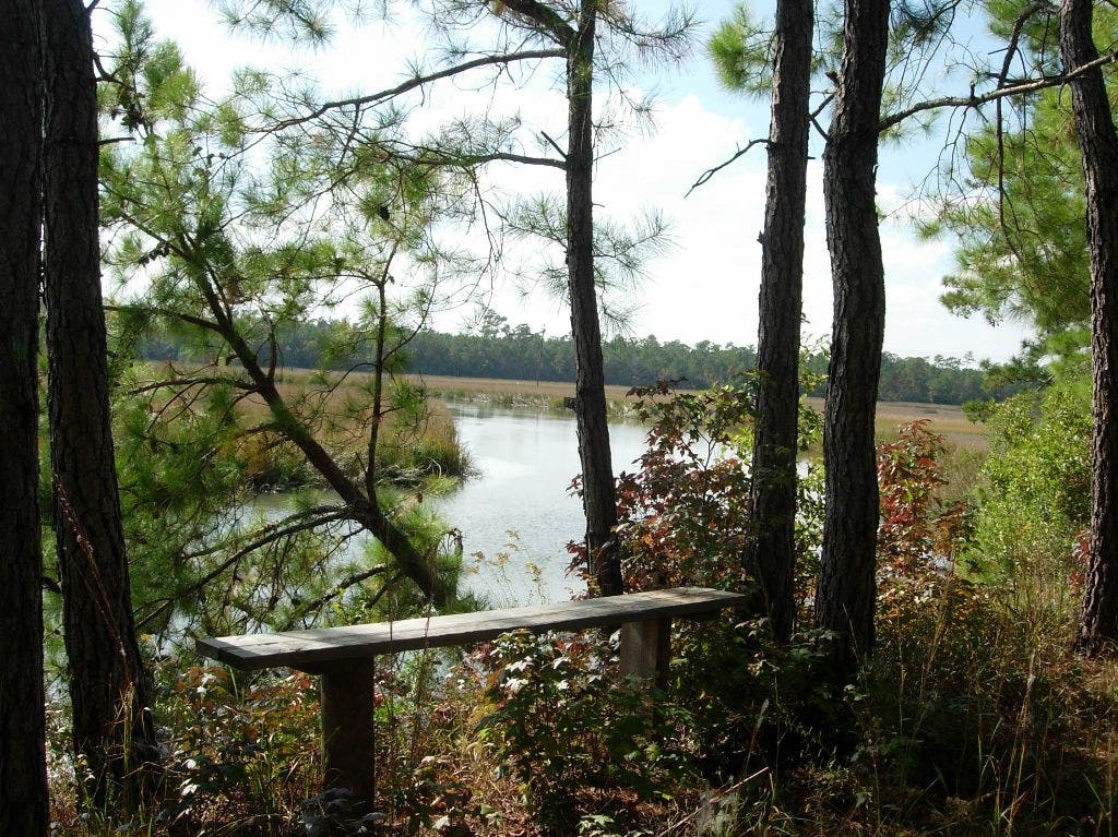
Sit on bench overlooking lazy creek and coastal waterway; continue NW roughly tracing Awendaw Creek
Bridge Near Trailhead
Location: 33.0392227172852, -79.564567565918
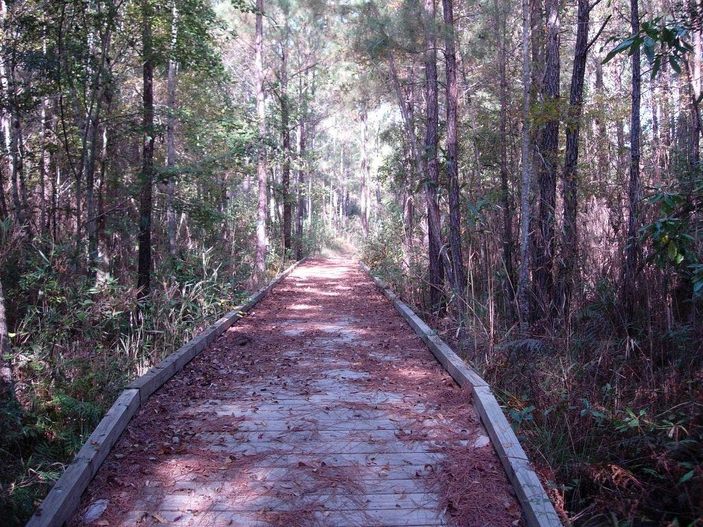
The Palmetto Trail enters a thick, diverse forest. © Skip Reitmeier
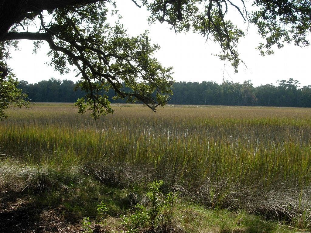
Marsh Views
Location: 33.0325164794922, -79.5792694091797
Grassy greens and amber browns stretch as far as the eye can see. © Skip Reitmeier
Bench Above Creek
Location: 33.0308418273926, -79.5887145996094
The Awendaw Creek flows lazily into the Intracoastal Waterway and salt marshes. © Skip Reitmeier