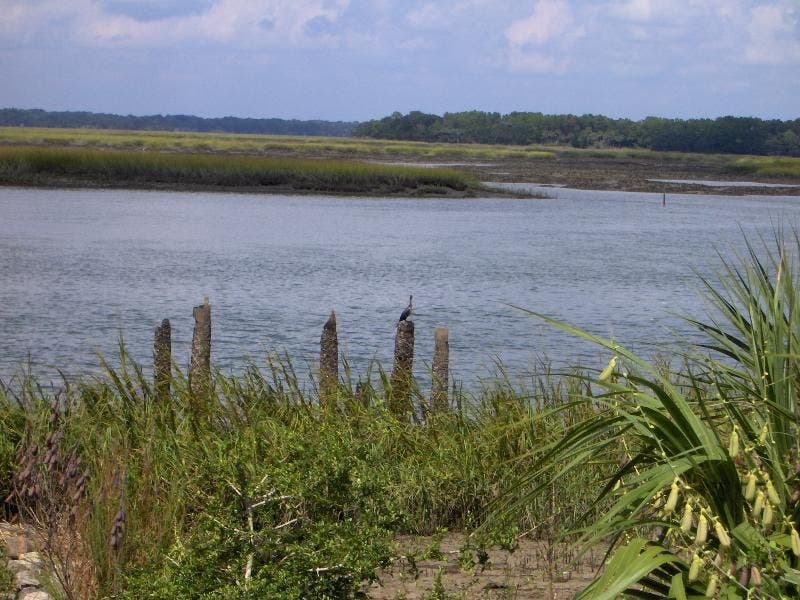
Charleston: High Ground Loop


Trail Facts
- Distance: 11.5
Waypoints
PIL001
Location: 32.2340202331543, -80.7787628173828
Keep binocs handy; head N on gravel trail into 4,053-acre refuge, named after a Revolutionary War general and signer of the U.S. Constitution
PIL002
Location: 32.2428703308106, -80.7763214111328
R for short loop around Ibis Pond; painted buntings forage for seeds in cordgrass and marram grass
PIL003
Location: 32.2443695068359, -80.7747116088867
L @ Y; if lucky, you might spy bald eagles above large live oaks
PIL004
Location: 32.2473297119141, -80.7658309936524
R for small loop around Osprey Pond
PIL005
Location: 32.2458915710449, -80.7625732421875
L@ Y; alleyway of longleaf and slash pines draped in Spanish moss
PIL006
Location: 32.2587890625, -80.7586669921875
L @ Y to Mackay Creek, where snowy egrets & herons fish in tidal flats
PIL007
Location: 32.2593193054199, -80.7651672363281
R @ Y into a marshy maritime grove. Caution: possible gators
PIL008
Location: 32.2645111083984, -80.7581024169922
R @ Y around Clubhouse Pond; leave gravel for grass trail. Stay on path: Grass may hide snakes, bugs, poison ivy
PIL009
Location: 32.2509918212891, -80.7568588256836
Skirt Intracoastal Waterway, looking E to spot sandpipers and oystercatchers wading in salt marshes
PIL010
Location: 32.245059967041, -80.7581634521484
R @ T. Side trail: Turn L for .5-mi. spur to Bull Point. Bottle-nosed dolphins feed on finfish along Skull Creek
PIL011
Location: 32.2454109191894, -80.7620010375976
L @ 4-way toward Shell Point
PIL012
Location: 32.2408599853516, -80.7646789550781
R @ Y around Wood Stork Pond back to WPT 3
PIL013
Location: 32.2437591552734, -80.7742767333984
L @ T; return to car
Wildlife on Mackay Creek
Location: 32.2591514587402, -80.7654190063476
©John Bradford