Channel Islands National Park: Santa Barbara Island Loop Trail

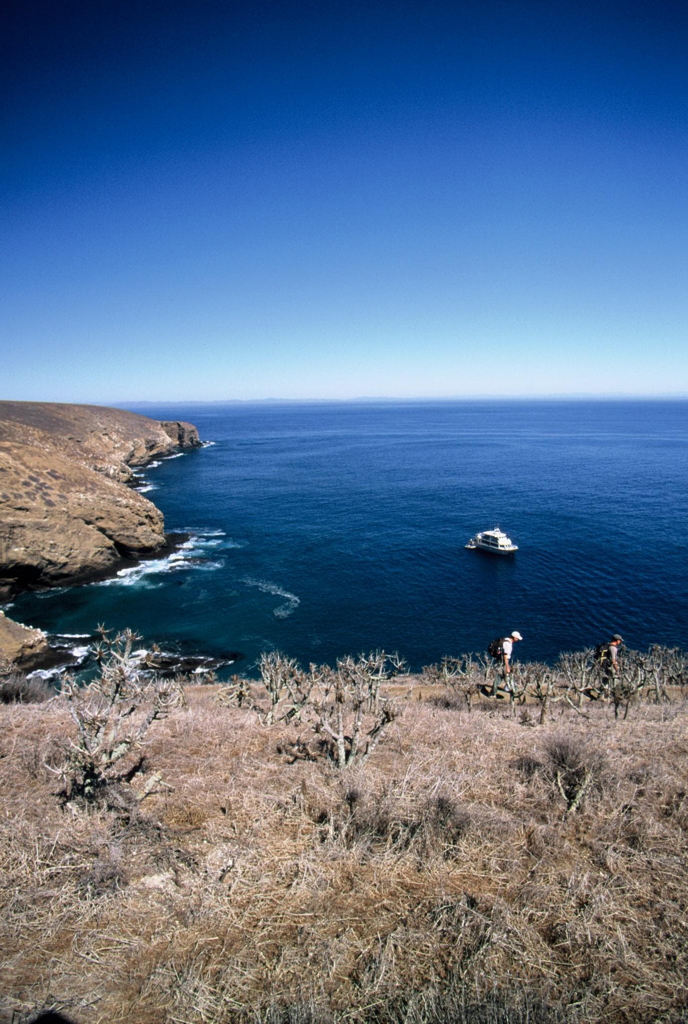
134 – After the Island Packers boat drops you off at the Landing Cove, hike up the steps/trail to the top of the marine terrace where the ranger’s quarters are and interpretive signs and maps detail the hike.
135 – Head west past the ranger’s quarters with the campground on your left.
136 – At the T-junction head south and to the left to another marine terrace. Listen for thousands of California sea lions bellowing below and to your left.
137 – At the Y-junction bear left and to the south. You’ll come to a series of stakes marking the trail. Easy to follow as there are no trees or bushes on this island.
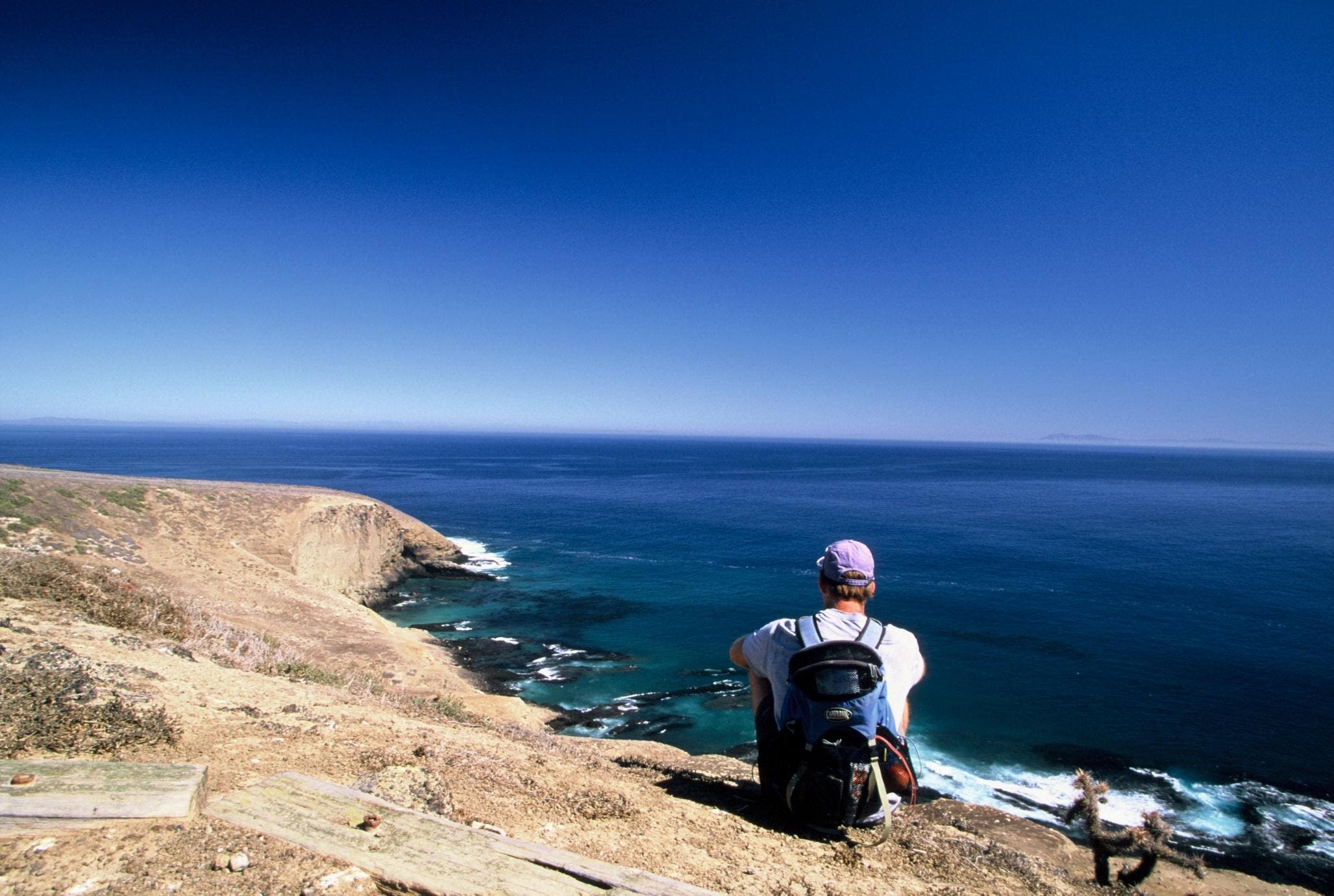
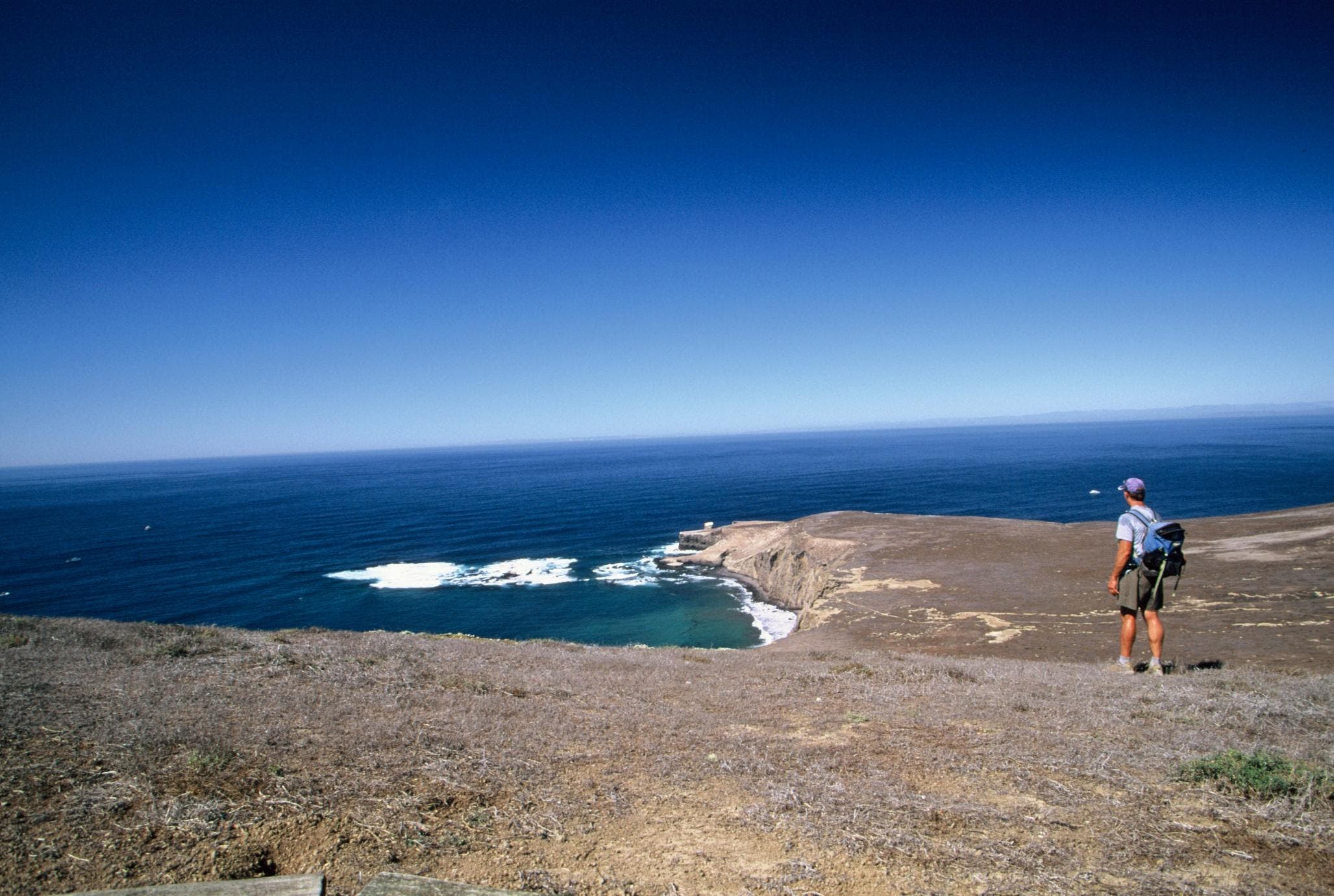
138 – There’s a bench here to sit on with fantastic overlook of the Pacific Ocean. You can view the sea lion rookery from here and see Catalina Island to the south.
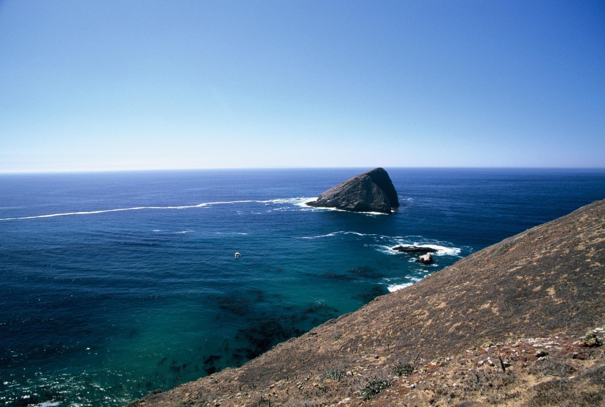
139 – Head south to Sutil Rock, about an eighth of a mile offshore. Watch swell and currents from the west and south slam this broad rock outcropping, a favorite of roosting seabirds like western gulls and pigeon guillemots.
140 – After a short but steep ascent west, the track levels out and heads east to more stunning, rugged scenery.
141 – Hike along the apex of the island still bearing east. This vantage point offers an entire view of the island.
142 – Head west and to the left toward a lower marine terrace, following the easy switchbacks to a bluff. Carefully skirt the edge of the bluff to see more sea lions and beautiful secnery of offshore reefs, waves and rocky pinnacles.
143 – At the T-junction bear left ascending back up a steep ridge across several long switchbacks to the apex of the island.
144 – At the Y-junction bear right past a stalks of coreopsis, a California native flower down to Arch Point.
145 – At Arch Point you’ll see to the south the Landing Cove where kayakers and sea lions play in the protected natural harbor.
146 – At the Y-junction bear left past the ranger’s quarters back down to the Landing Cove.
Trail Facts
- Distance: 8.9
Waypoints
146
Location: 33.480904, -119.031019
16-OCT-09 4:15:29PM
145
Location: 33.486258, -119.030403
16-OCT-09 4:06:48PM
144
Location: 33.483752, -119.034324
16-OCT-09 3:56:10PM
143
Location: 33.480677, -119.03671
16-OCT-09 3:50:24PM
142
Location: 33.476057, -119.037397
16-OCT-09 3:19:14PM
141
Location: 33.47313, -119.039958
16-OCT-09 3:13:43PM
140
Location: 33.471868, -119.041528
16-OCT-09 3:08:49PM
139
Location: 33.468176, -119.039418
16-OCT-09 3:01:05PM
138
Location: 33.47254, -119.032735
16-OCT-09 2:44:46PM
137
Location: 33.478452, -119.034007
16-OCT-09 2:29:55PM
136
Location: 33.480883, -119.030996
16-OCT-09 2:23:25PM
135
Location: 33.480768, -119.029704
16-OCT-09 2:20:37PM
134
Location: 33.481558, -119.029591
16-OCT-09 2:13:57PM
ChuckGraham_SBIsle_IMG_034.jpg
Location: 33.481818, -119.029441
Hiking up from Landing Cove on the south side of SB Island, the only place to access the island from the Island Packers boat.
ChuckGraham_SutilIsland_IMG_030.jpg
Location: 33.46886, -119.039311
Great vantage point of Sutil Rock. On a clear day you can see Catalina, San Clemente and San Nicholas Islands further south.
ChuckGraham_SBIsle_IMG_024.jpg
Location: 33.481245, -119.03635
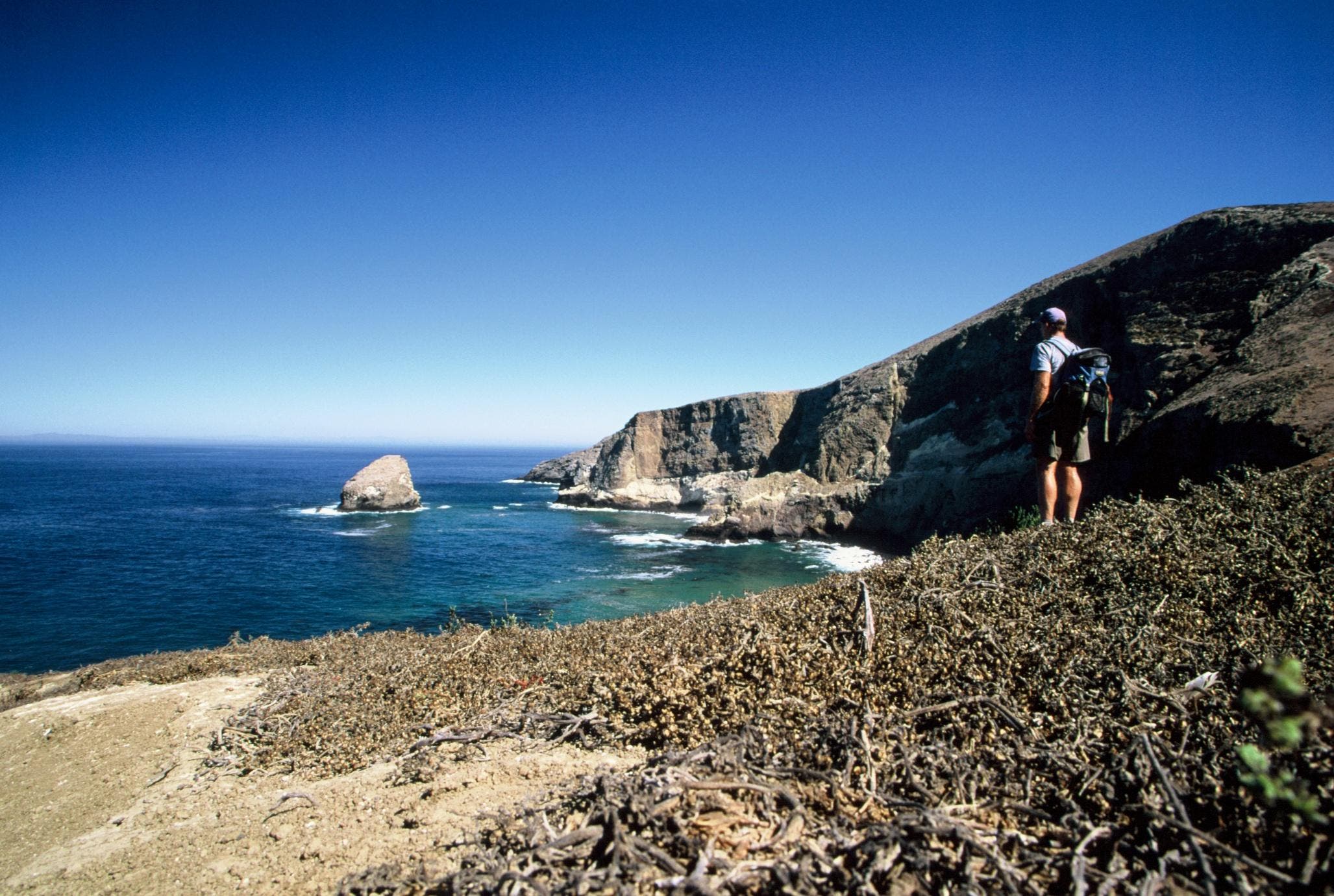
Overlook at Elephant Seal Cove, a popular haul out for migrating northern elephant seals.
ChuckGraham_SBIsle_IMG_032.jpg
Location: 33.473191, -119.032445
Another fantastic overlook, this one watches over thousands of California sea lions
ChuckGraham_SBIsle_IMG_027.jpg
Location: 33.476377, -119.037251
This shot is below Signal Peak, the highest point on the island at 634 feet.