Chadron, NE: Steamboat Butte

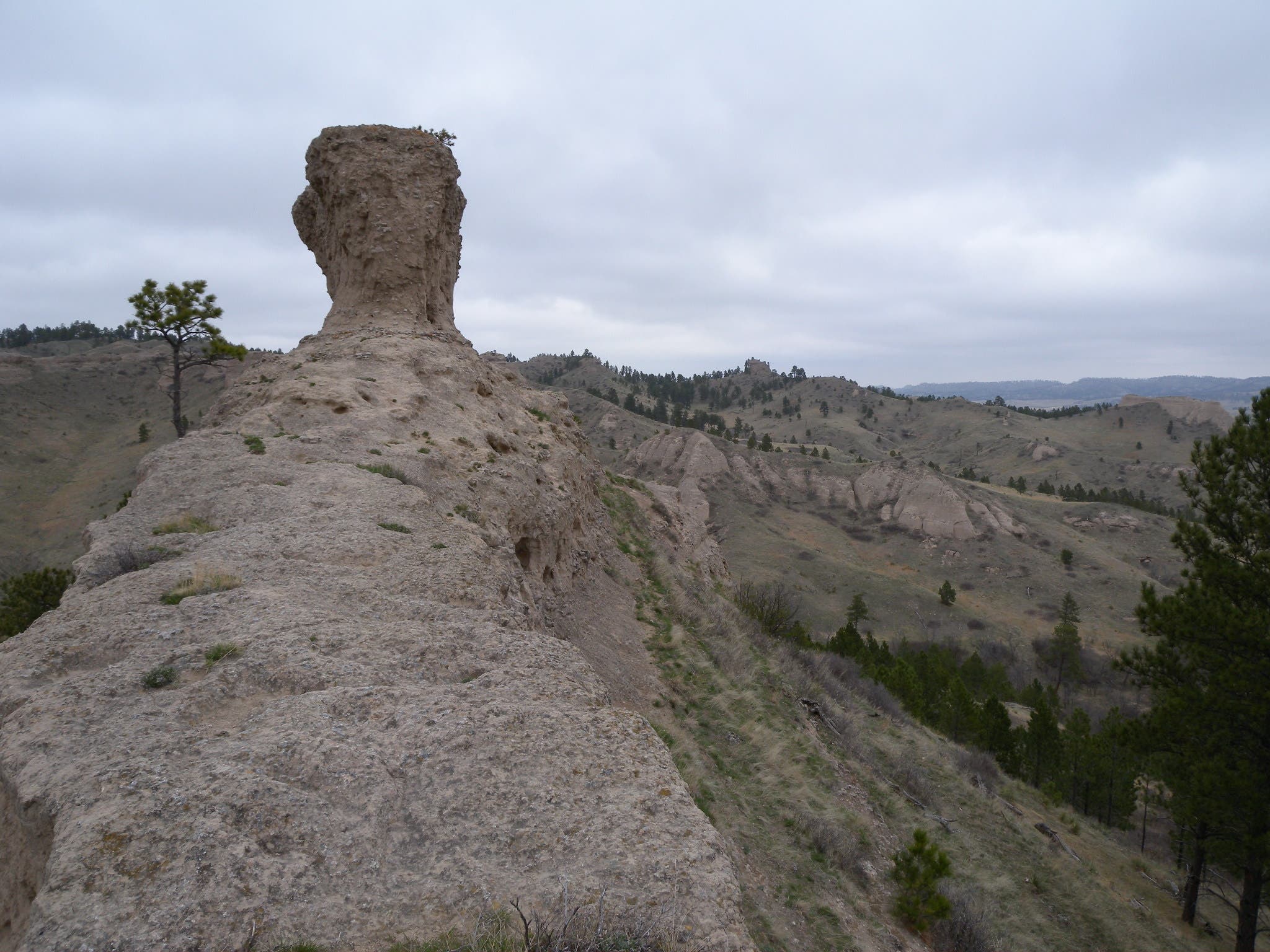
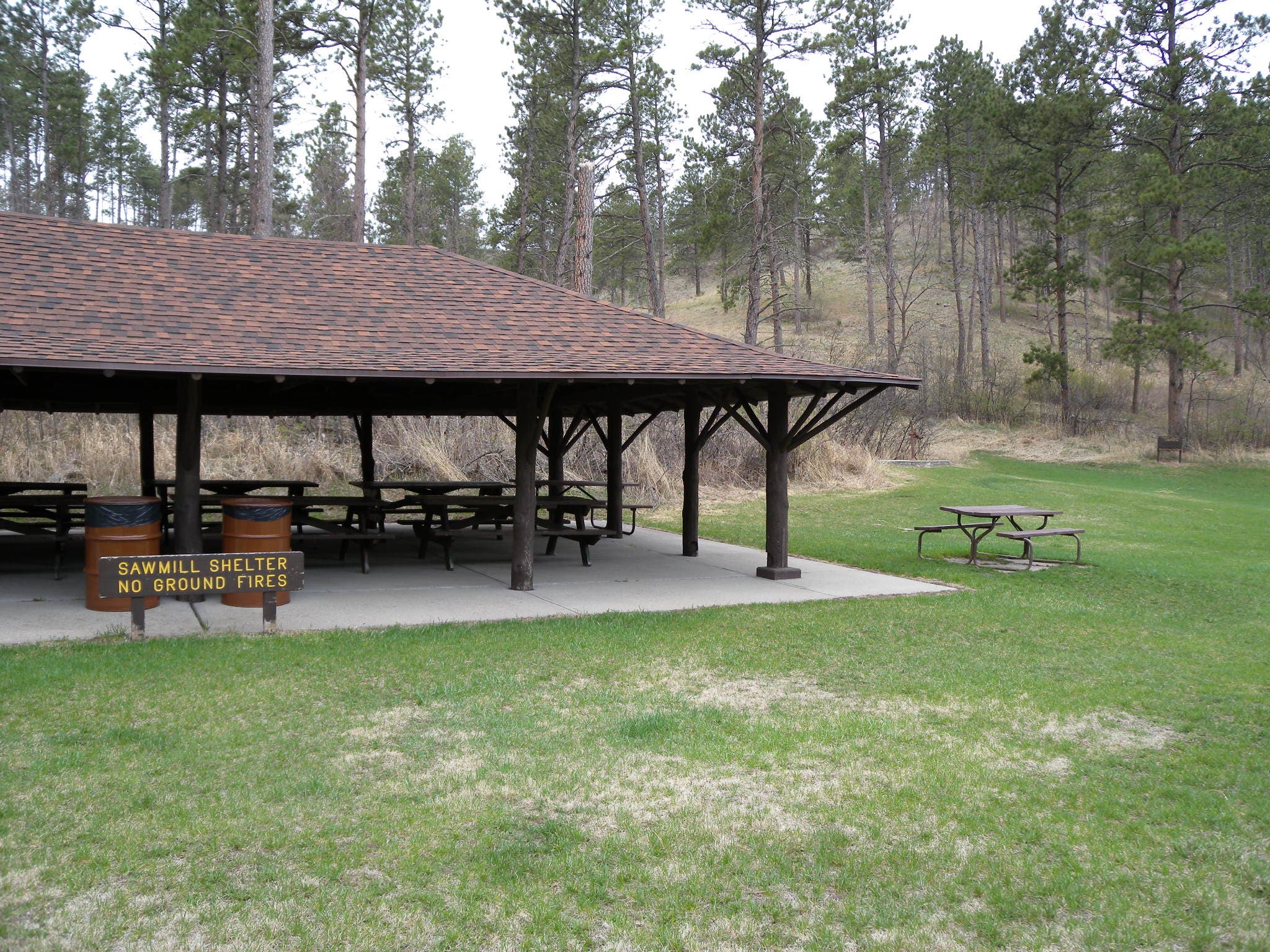
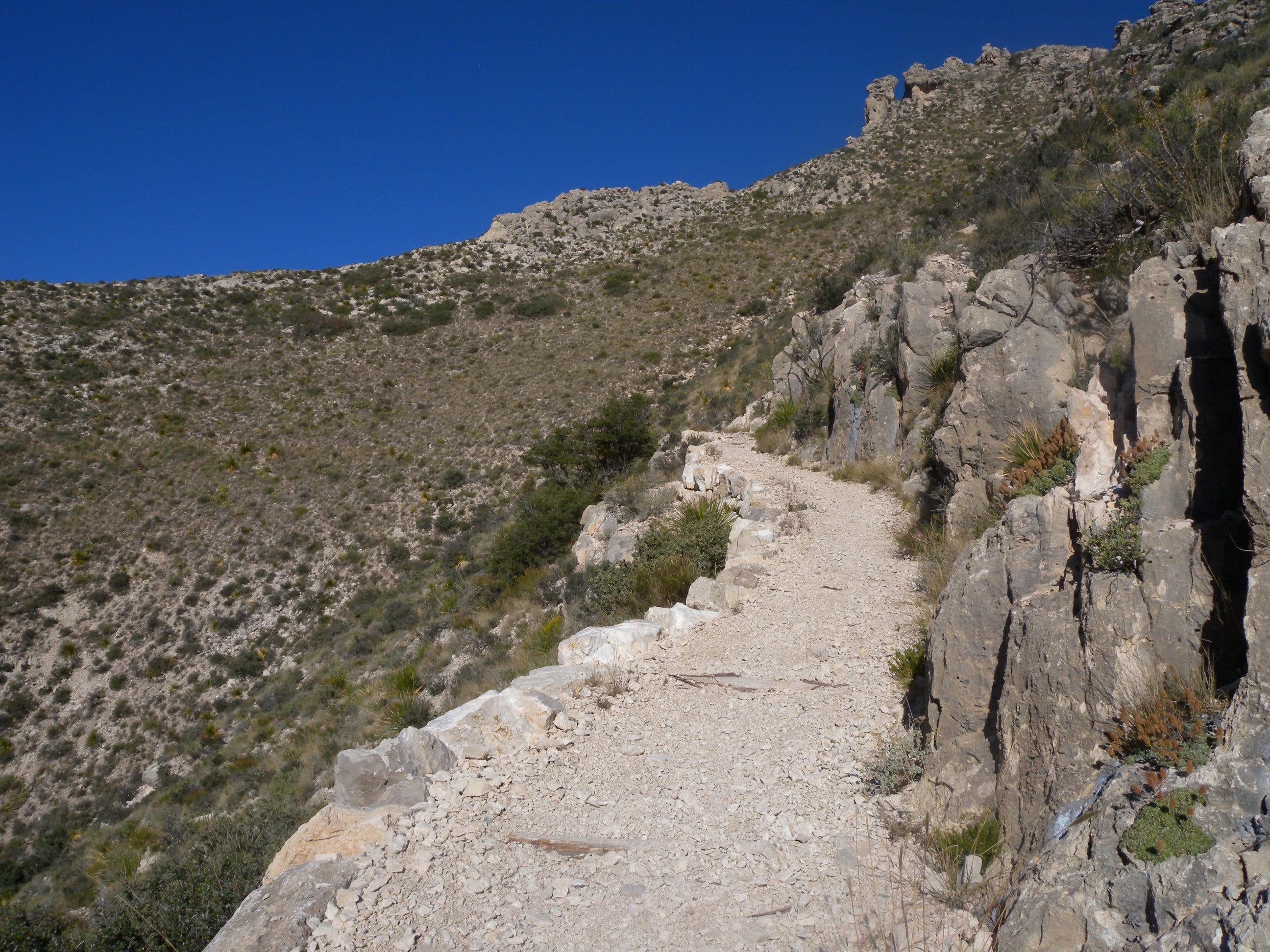
This 1.5-mile loop, built and maintained by local boy scouts, begins at the north side of the Sawmill Shelter—plenty big for a pre- or post-hike picnic. To begin, cross the grassy area and follow the gently sloping trail south. You’ll notice evidence of selective logging and restoration efforts alongside the trail before it turns sharply uphill at mile 0.25. It’s a short climb to a saddle along the ridge where this route turns right to wander around the prominent butte just a few hundred feet away. To continue on the loop, follow the trail south along the ridgeline. Keep an eye out for deer and wild turkeys as the trail widens into a meadow near the Black Hills Overlook Road. Before reaching the road, turn left onto an easy downhill path that cruises an open valley to close the loop.
Note: If you’re hiking with small kids, consider skipping the butte-top section of this route where loose rocks and steep cliffs add an element of danger to this otherwise easy hike.
-Mapped by Kristy Holland

Trail Facts
- Distance: 2.4
Waypoints
STM001
Location: 42.709143, -103.0231199
Follow the wide, mowed trail north from the Sawmill Shelter. You’ll pass the outhouse and parallel the park road, which is barely visible through the trees.
STM002
Location: 42.70921, -103.0237019
Turn right to start the counter-clockwise loop.
STM003
Location: 42.7118943, -103.0255794
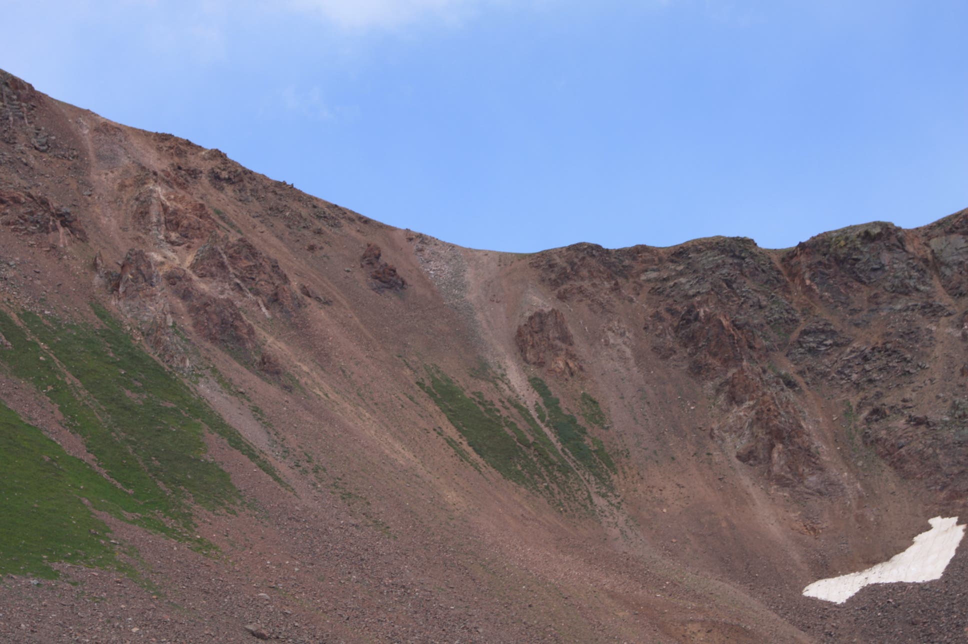
Stop for a quick look across the valley before climbing the trail up the steep hill on your left.
STM004
Location: 42.7116499, -103.0263573
At the saddle, turn right to spend a few minutes exploring the butte top. From this point, the main trail heads south on a rocky ridgeline just above the park’s western boundary.
STM005
Location: 42.7124303, -103.0265558
The crumbling rock ledges around the butte are fun to explore, but pick your way carefully around the steep ledges and cliffs.
STM006
Location: 42.7079289, -103.026191
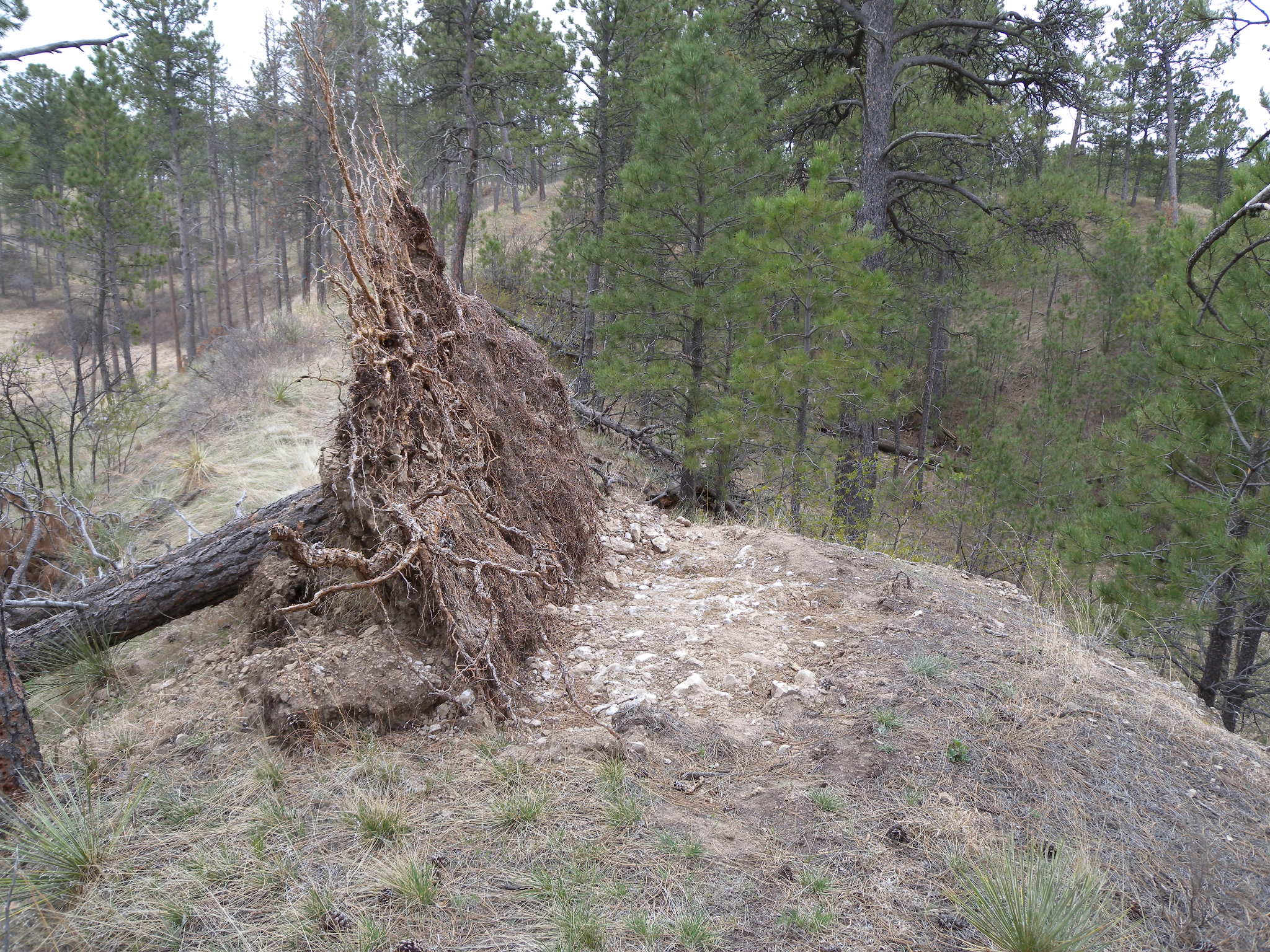
Look for trail maintenance activity and fallen trees on the ridgeline. The trail winds around the small obstacles, and continues rolling south.
STM007
Location: 42.7046491, -103.0240345
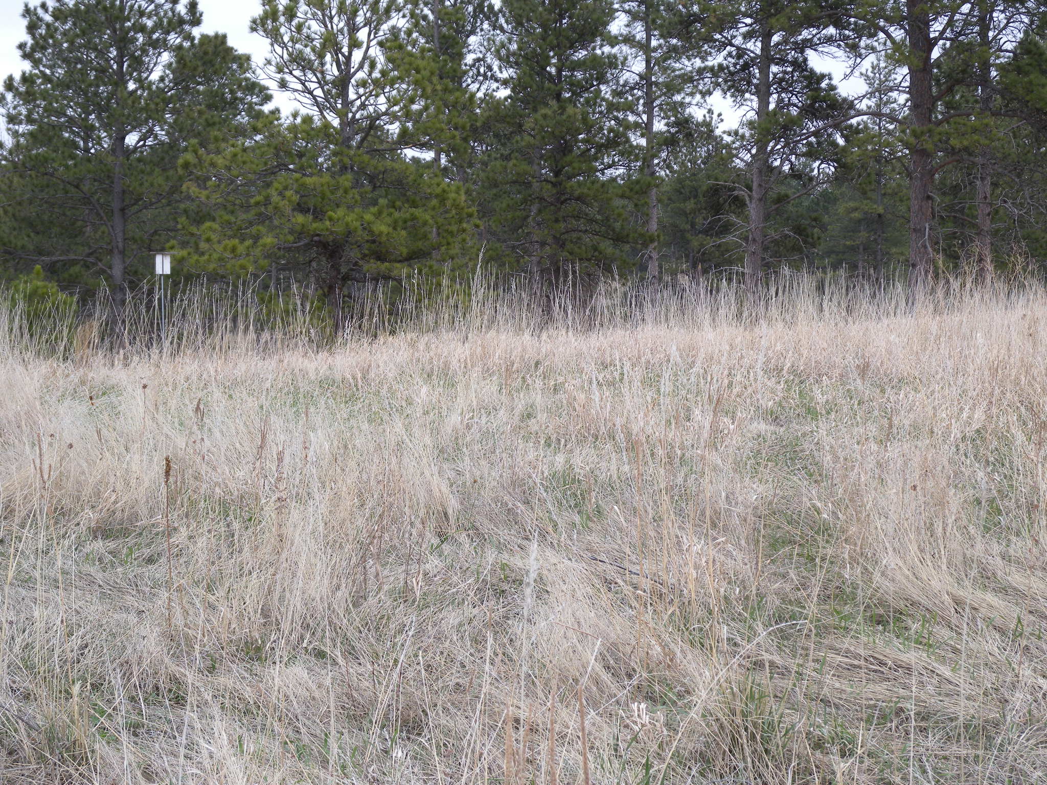
You’ll see the Black Hills Overlook Road ahead, but this service-road-style trail turns left before reaching it. You’ll join a mowed path leading downhill through an open ravine. Look for the birdhouse that marks the trail.
Top of Steamboat Butte
Location: 42.712387, -103.0270359
Sawmill Shelter
Location: 42.709143, -103.023085
Trees
Location: 42.7103807, -103.0242115
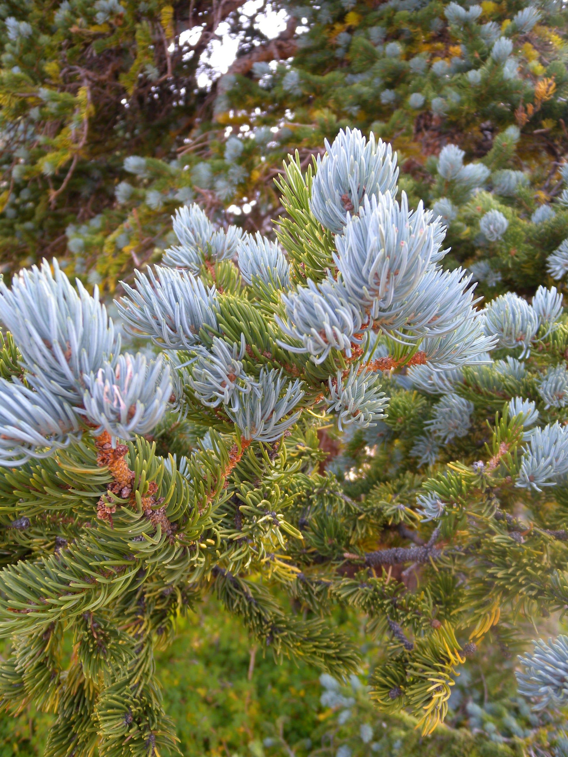
These blue marks help identify trees of different sizes and ages. Trees with the marks are spared during selective logging in the park.
Trail Views
Location: 42.7118943, -103.0255365
Looking north toward the buttes below the Black Hills Overlook Trail.
Top of Steamboat Butte
Location: 42.7124008, -103.0268294
The top of Steamboat Butte is fun to explore, but drops steeply away on both sides. Watch your step!
Trail
Location: 42.7122806, -103.0265316
The rocky ledges on the base of the butte.
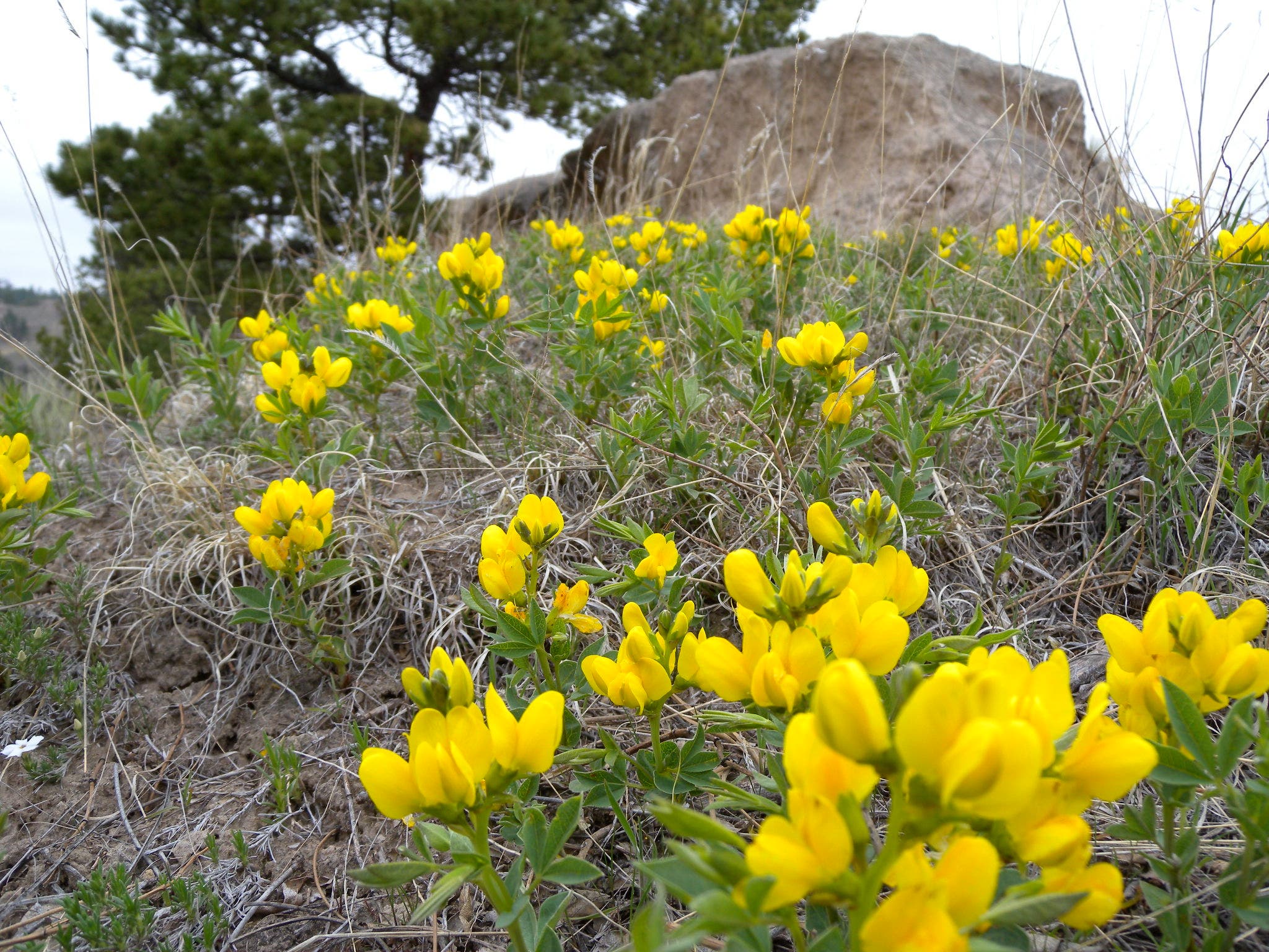
Flowers
Location: 42.7094662, -103.0254292
Trail
Location: 42.7090247, -103.0257511
This is one of the few trails in the park that isn’t marked with blazes. This caution tape led the way for a short section of trail along the ridge, but the well-trod path is generally easy to follow.
Log
Location: 42.7079289, -103.026073
The trail winds around this fallen tree alongside the trail.
Bird House
Location: 42.7046491, -103.0239272
Approaching the top of the hill, look for the small, white birdhouse that marks the turn downhill.