Chadron, NE: Norwesca Trail

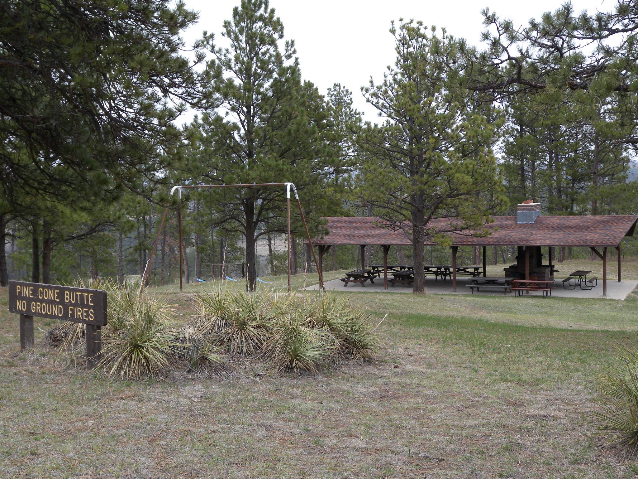
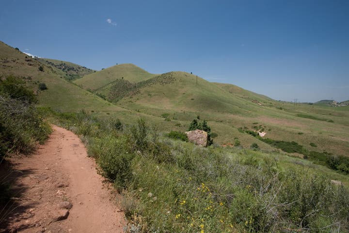
Pine Cone Butte is the start point for this clockwise loop that combines several trails in Chadron State Park. From the picnic area, head 100 yards downhill on the road and then turn onto a wide, grassy trail that skirts the top of a tree-choked ravine. Just before mile 1, you’ll pass the park’s main cabin area on the Orange Trail before crossing the road, joining the Norwesca Trail and dipping into a valley on the park’s south side. The trail follows a small creek up a valley headed west—look for evidence of selective logging and forest maintenance on the surrounding slopes.
A ponderosa-shaded climb leads to this loop’s high point on the Black Hills Overlook Road near mile 3. But the best part of the hike is ahead: a 1-mile stretch through a rocky ravine below Steamboat Butte. The southbound jog to the trailhead climbs the Black Hills Nature Trail to within a few hundred feet of the parking area, but this route turns uphill for a 10-minute exploration of the Pine Cone Butte before returning to the trailhead parking lot.
-Mapped by Kristy Holland


Trail Facts
- Distance: 8.4
Waypoints
NOR001
Location: 42.709411, -103.0172217
This loop begins and ends at the small Pine Cone Butte Shelter parking lot. There’s a playground here, a large covered picnic area (with BBQs), and primitive restrooms. Head down the park road for about 100 yards and then turn right onto the trail.
NOR002
Location: 42.7086778, -103.0166316
The wide, mowed path is also a service road for park officials. Stay straight at the 3-way junction just ahead and look for wild turkeys as you wind above several ravines.
NOR003
Location: 42.7023863, -103.0162454
Turn left at T-junction and turn downhill on the wide, grassy trail toward the park’s main cabin area.
NOR004
Location: 42.7053193, -103.0143142
Stop to admire restoration efforts in this meadow area just south of the cabins, then take the center of the three trails uphill and follow the old forest road along a string of interpretive signs. Stick to the trail as you round the hillside and begin heading south.
NOR005
Location: 42.7031905, -103.0118787
Cross the park road and turn uphill. Within 100 yards, the trail splits. This route follows the wider grass trail straight and bypasses the tree-littered singletrack on the right.
NOR006
Location: 42.6987121, -103.0086493
At the bottom of the hill, turn right to stay on Norwesca Trail. You’ll follow the bottom of a Chadron Creek tributary and leave the park briefly as you pass north of the camp facility where this section of trail gets its name.
NOR007
Location: 42.6978447, -103.0191851
From the flat creek bottom, the trail turns uphill toward a gate near mile 2.5. You’ll continue climbing and turn right to join a gravel road up ahead.
NOR008
Location: 42.7035059, -103.024056
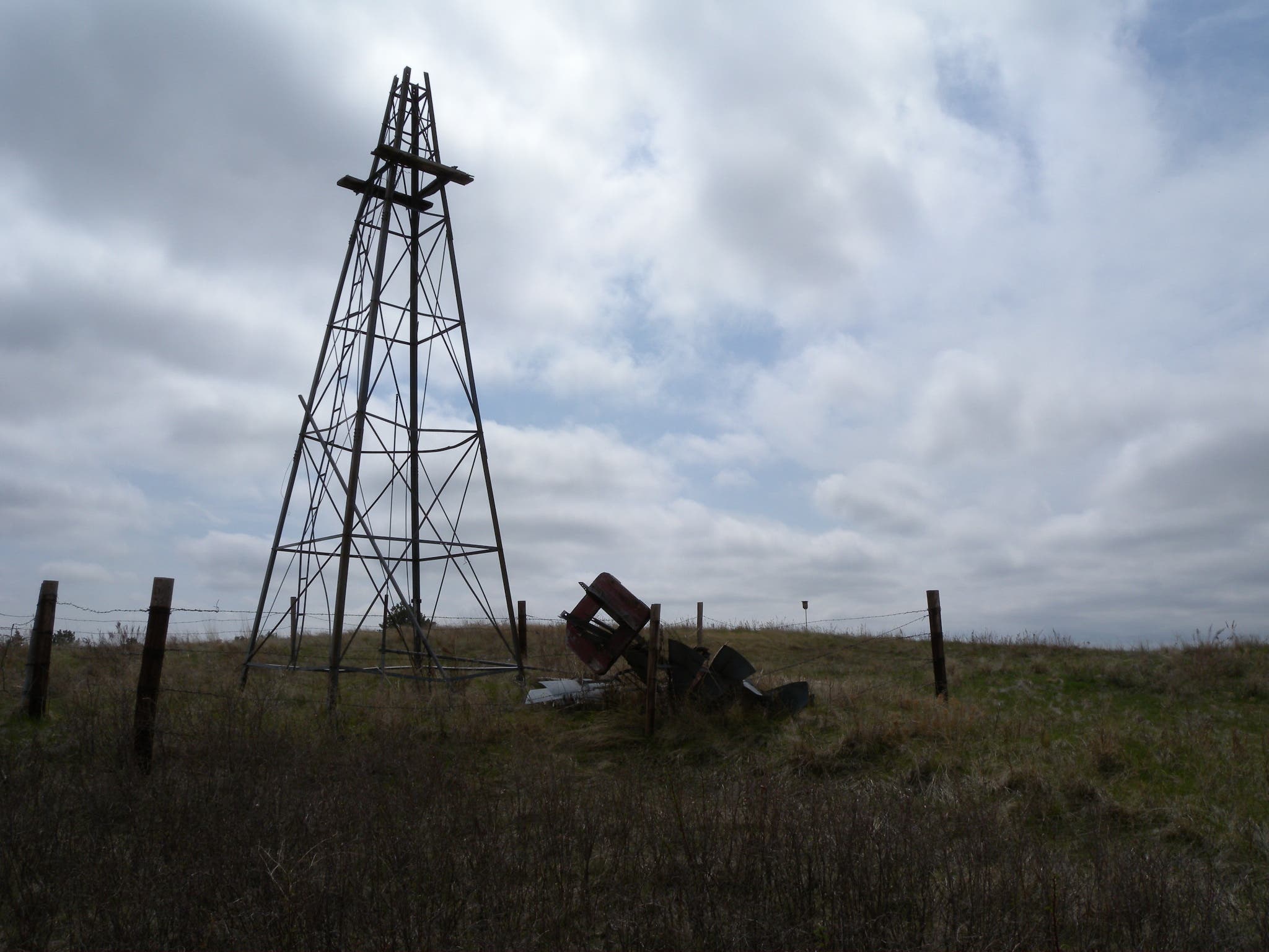
Turn left on the more established (but still gravel) Black Hills Overlook Road and follow it 300 yards to the cattle guard and old windmill.
NOR009
Location: 42.7034507, -103.0273497
Turn right onto a service road just after the cattle guard. You’ll bear right onto a white-diamond blazed singletrack trail just a few hundred yards ahead and descend into a valley.
NOR010
Location: 42.7106301, -103.0273173
This steep section of trail is crisscrossed with roots, but the surface can be loose as you head deeper into the ravine below. Watch your footing, but be sure to look up for a view of Steamboat Butte.
NOR011
Location: 42.7118864, -103.0276501
A huge cliff face lines the ravine just before the trail crosses back into the state park from the national forest. Ahead, the park re-enters a softer, more prairie-like landscape.
NOR012
Location: 42.7141015, -103.0232191
Turn right at 3-way junction toward the Black Hills Trailhead. It’s a gentle uphill toward a cattle guard and a fenceline offering great views to the northeast.
NOR013
Location: 42.7124697, -103.0194318
Turn left at T-junction, continuing uphill along the fenceline.
NOR014
Location: 42.7110795, -103.0191333
Turn left at the park road.
NOR015
Location: 42.7104359, -103.0181229
Turn right to explore the trails that wind around the butte. The road continues straight to the Pine Cone Butte Shelter.
Windmill
Location: 42.7034665, -103.0272746
This dilapidated windmill marks the turn back onto the trail.
Pine Cone Butte
Location: 42.709411, -103.0171144
The shelter and picnic area serving as the start point for this loop hike.
Trail
Location: 42.7086857, -103.0165458
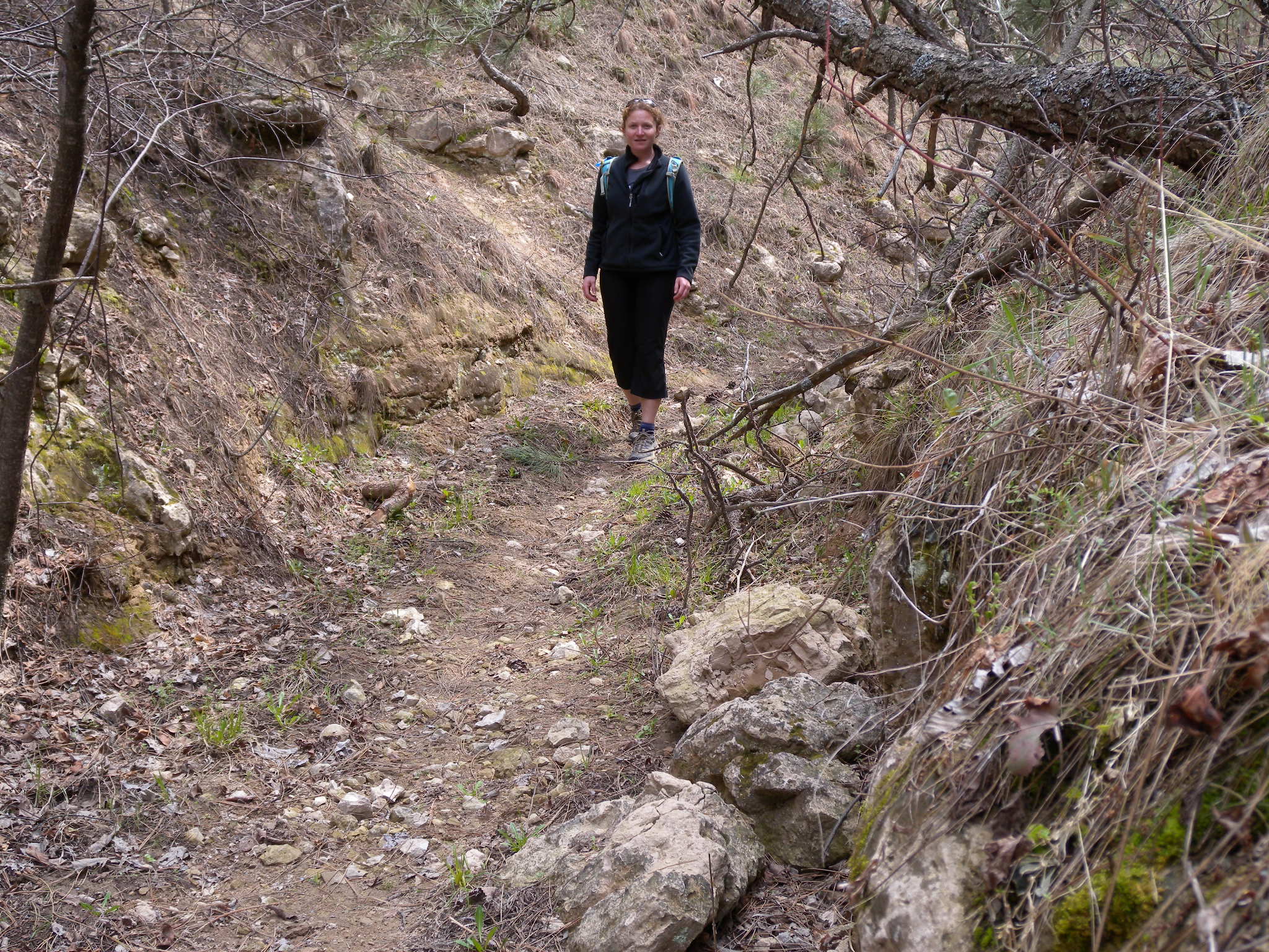
The trail doubles as a park service road, but expect to see only foot and bike traffic.
Snag
Location: 42.705477, -103.0137241
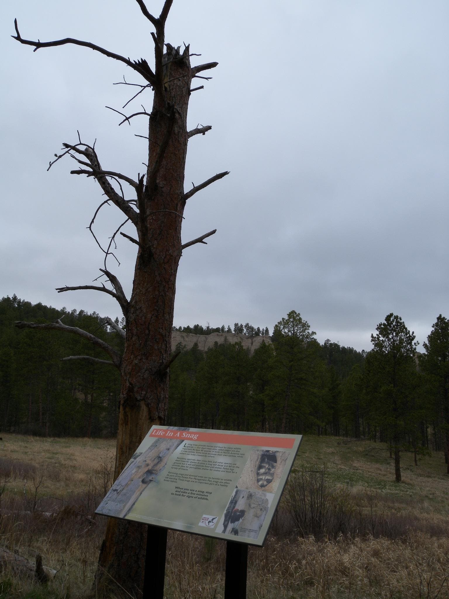
Snags like this one in the surrounding forest provide homes for many different animal species.
Junction
Location: 42.705335, -103.0142069
Follow the center trail as you leave the meadow.
Road
Location: 42.7031905, -103.0117607
Cross the park road and join the Norwesca Trail up ahead.
Flowers
Location: 42.7032063, -103.0107093
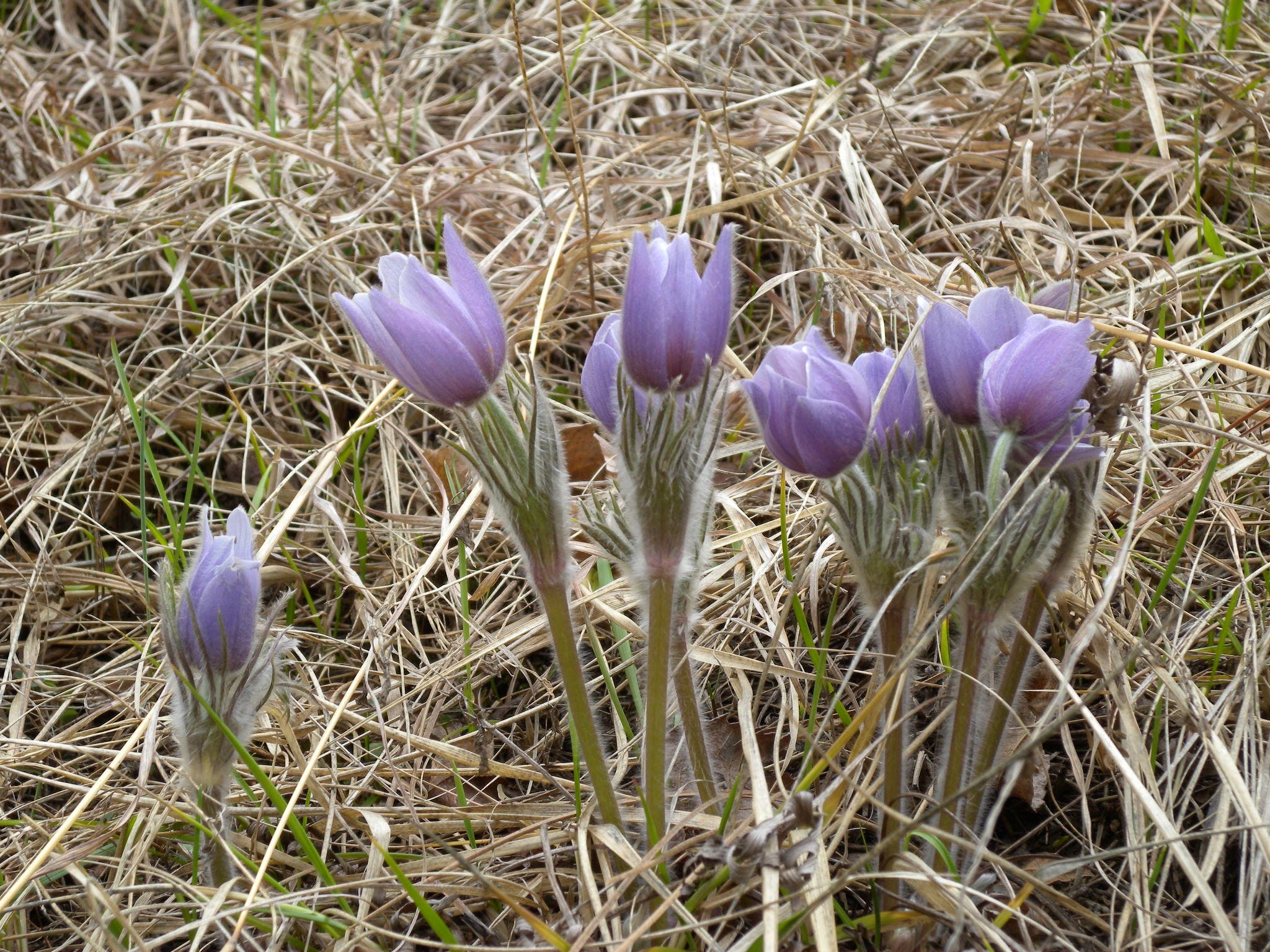
Flowers on the hillside begin blooming in April, but be prepared for fluctuating temperatures and weather conditions year round.
Logging Debris
Location: 42.7004309, -103.0086493
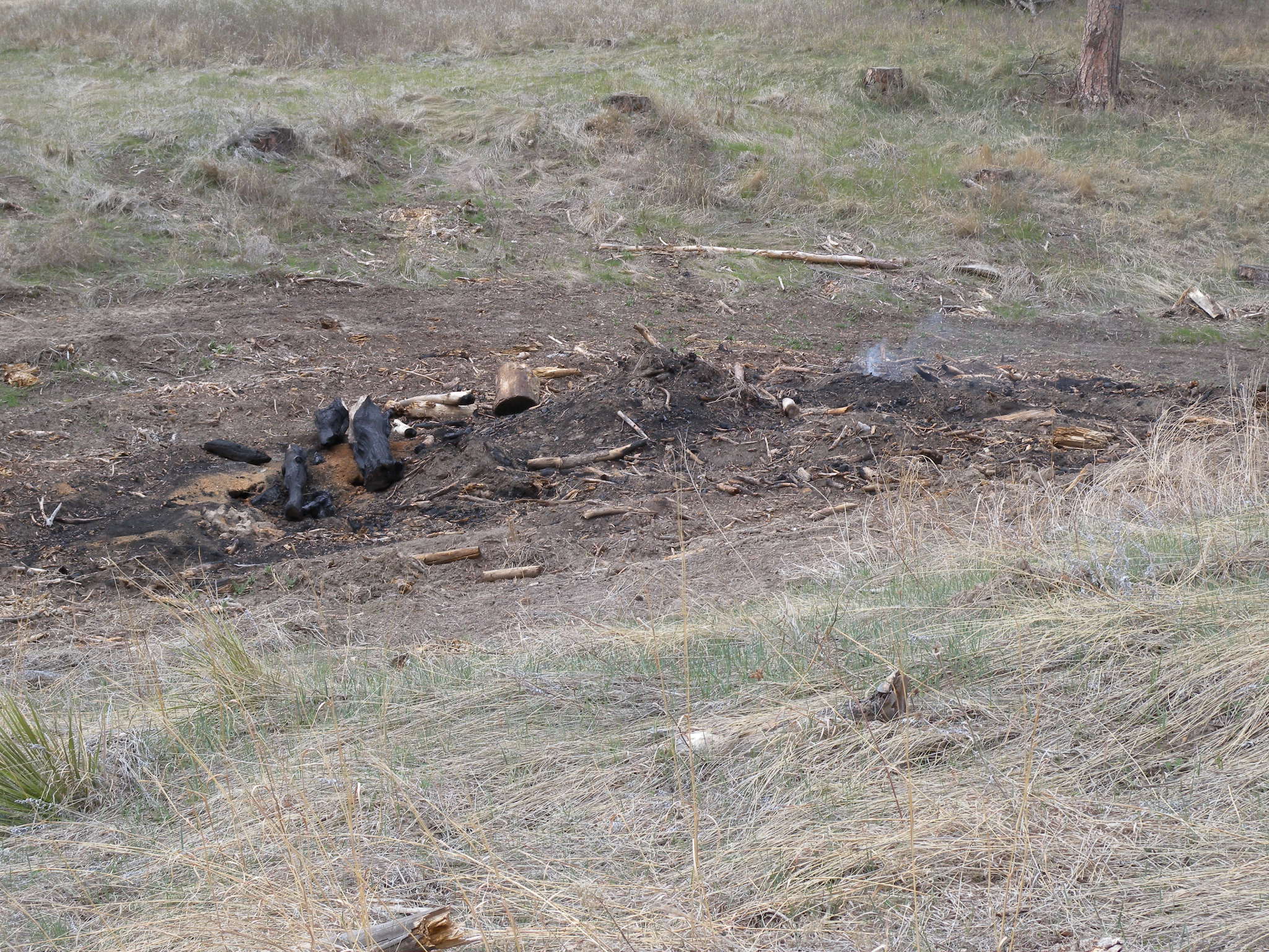
Many of the trails on this loop are old logging roads, but selective logging and forest maintenance is common in this park in response to a huge fire that swept through the neighboring National Forest a few years ago.
Cliff
Location: 42.6975766, -103.0148721
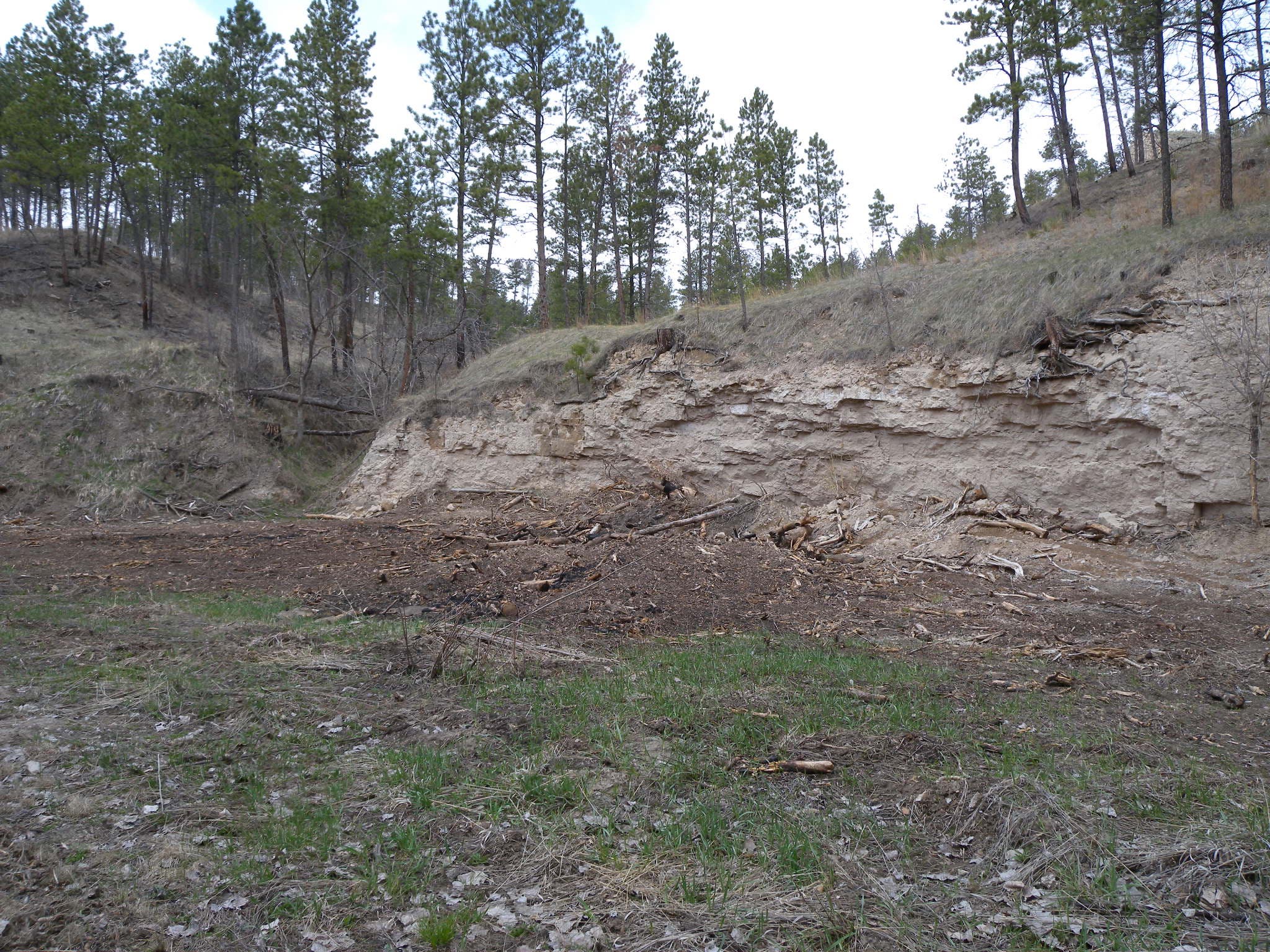
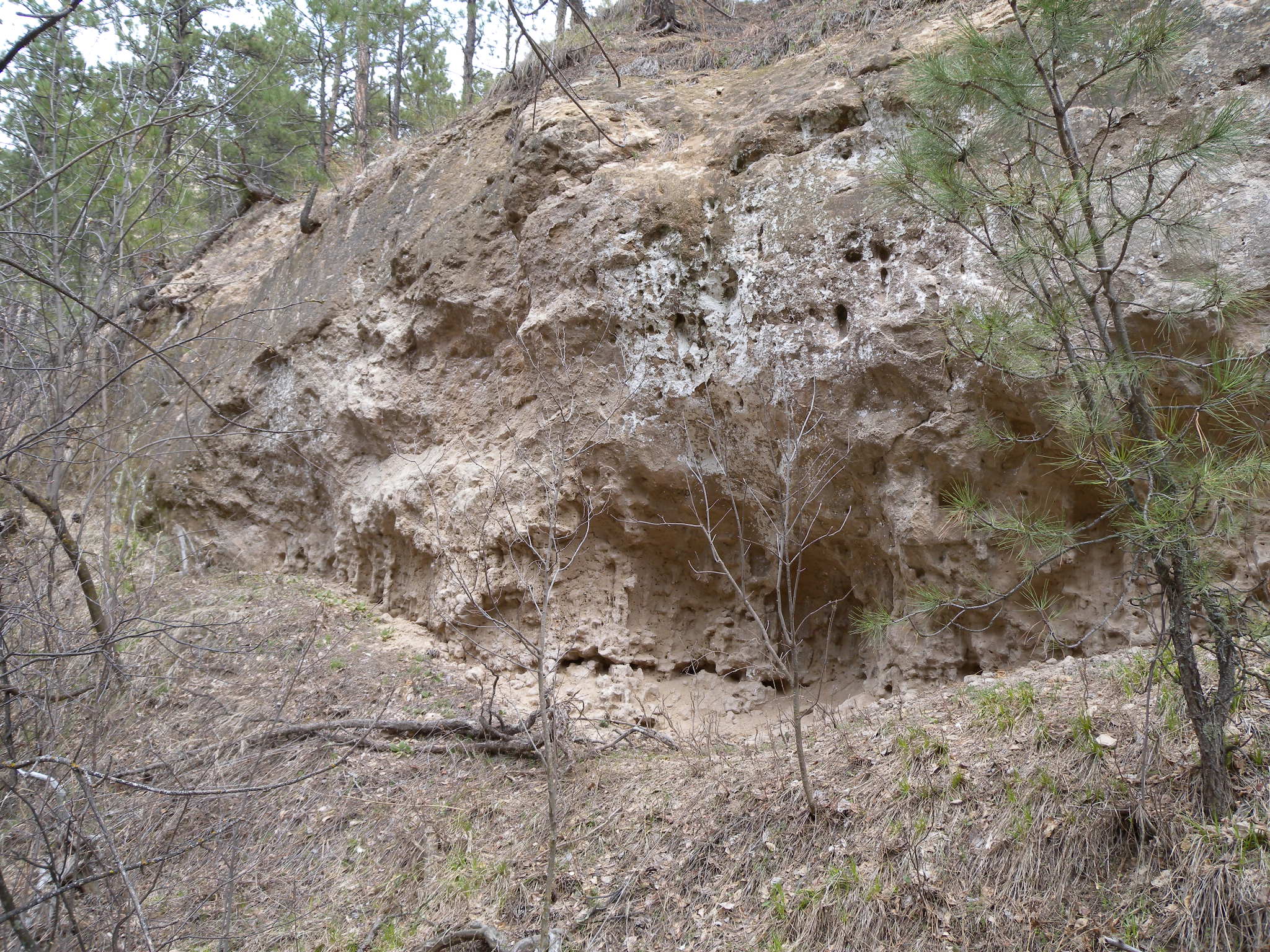
This impressive 40-foot cliff is one of many rocky, creek-side displays on this loop’s southern side.
Fence
Location: 42.6978447, -103.0189705
This fence is on the long uphill from the creek bottom, and it marks the park’s southern boundary near this loop’s mile 2.4.
Bird House
Location: 42.7024967, -103.023541
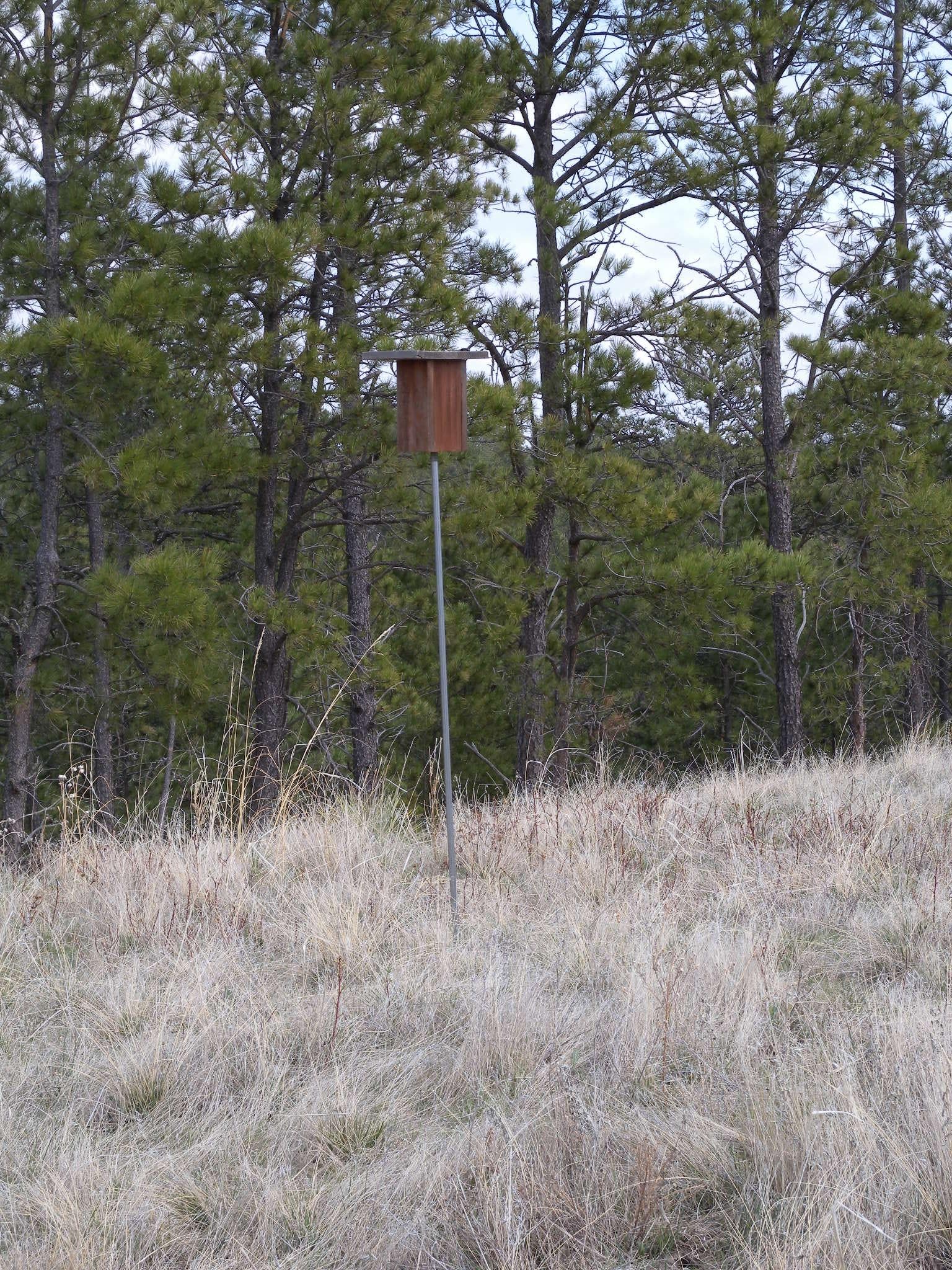
There are bird houses all over the park, there are plenty of bluebirds and as many of 50 feathered species in the area.
Trail
Location: 42.7035059, -103.0270493
The trail along the fenceline is outside of the State Park Boundary. This route winds between the State Park and National Forest several times.
Valley
Location: 42.7064073, -103.0274677
Biking is also allowed on this singletrack trail into the valley, but you’d have to dismount for occasional obstacles like this log across the trail.
Cliffs
Location: 42.7114765, -103.0271566
Alongside the trail toward the low end of the valley.
Narrow Trail
Location: 42.7100732, -103.0273283
The rocky hillsides in the valley narrow as the trail approaches the park border again.
Cliffs
Location: 42.7116578, -103.0273497
National Forest
Location: 42.7123988, -103.0281973
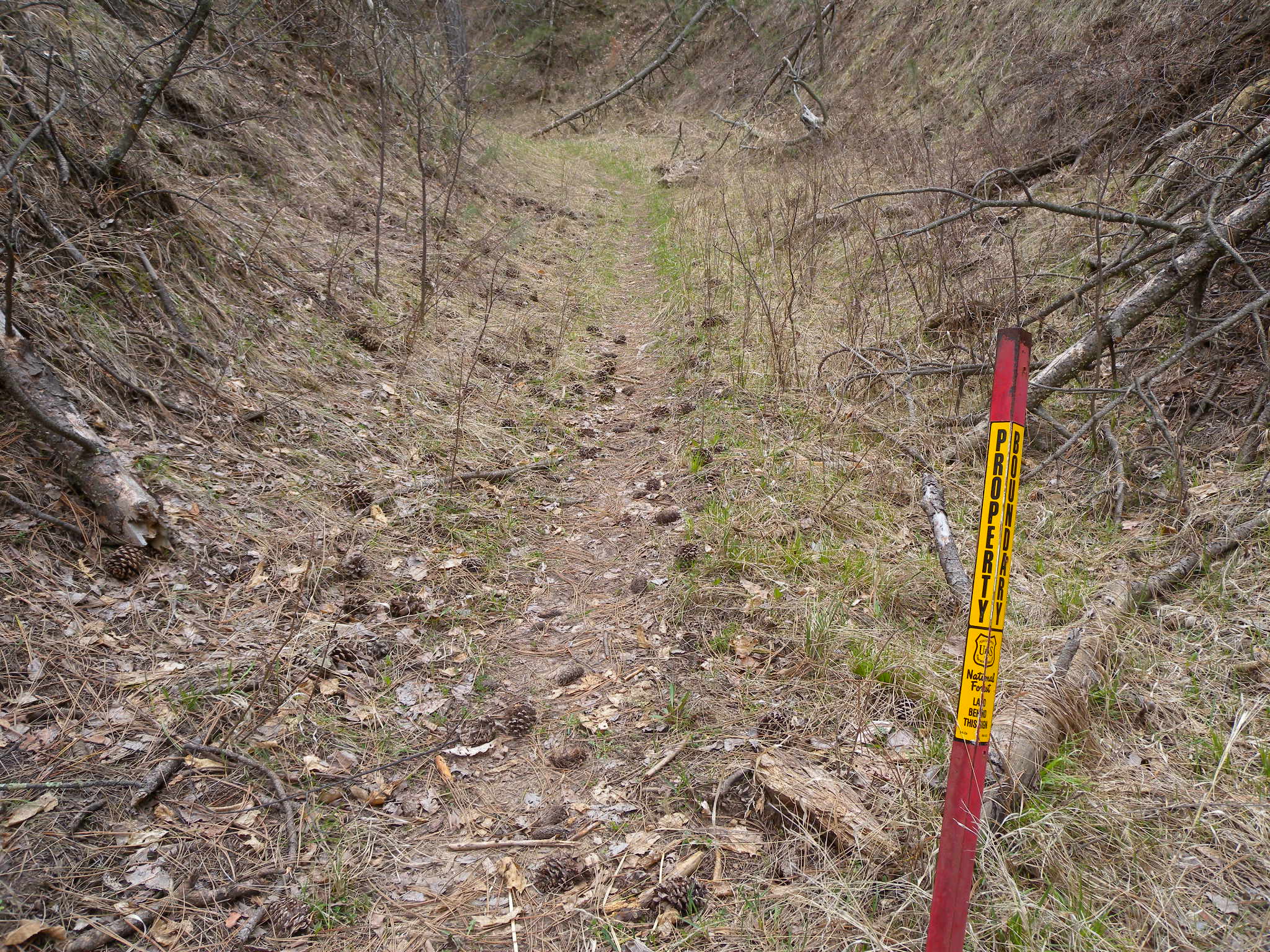
This red post marks the boundary between the National Forest and the State Park.
View
Location: 42.7110744, -103.0190241
The trail heading back to the Pine Cone Butte Shelter offers northeast views of the national forest on the opposite side of US-385.
Crack
Location: 42.7071011, -103.0183053
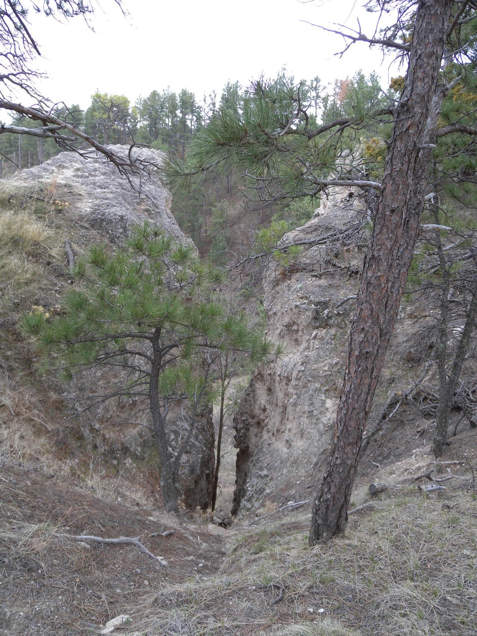
An impressive rock crack 2-3 feet wide offers a peek into the valley on the other side of the butte.
Walls
Location: 42.7089616, -103.0181122
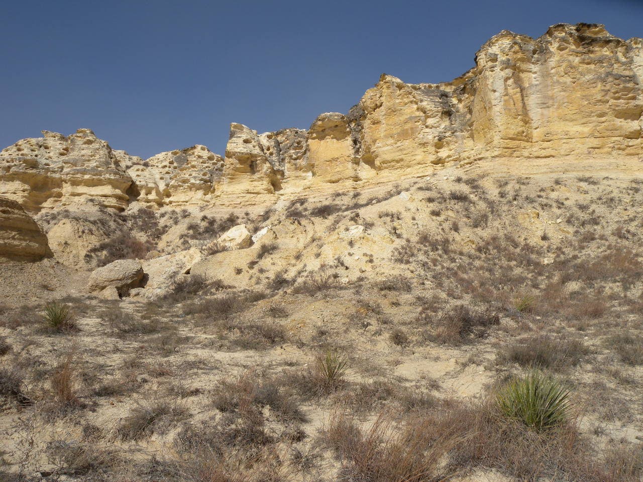
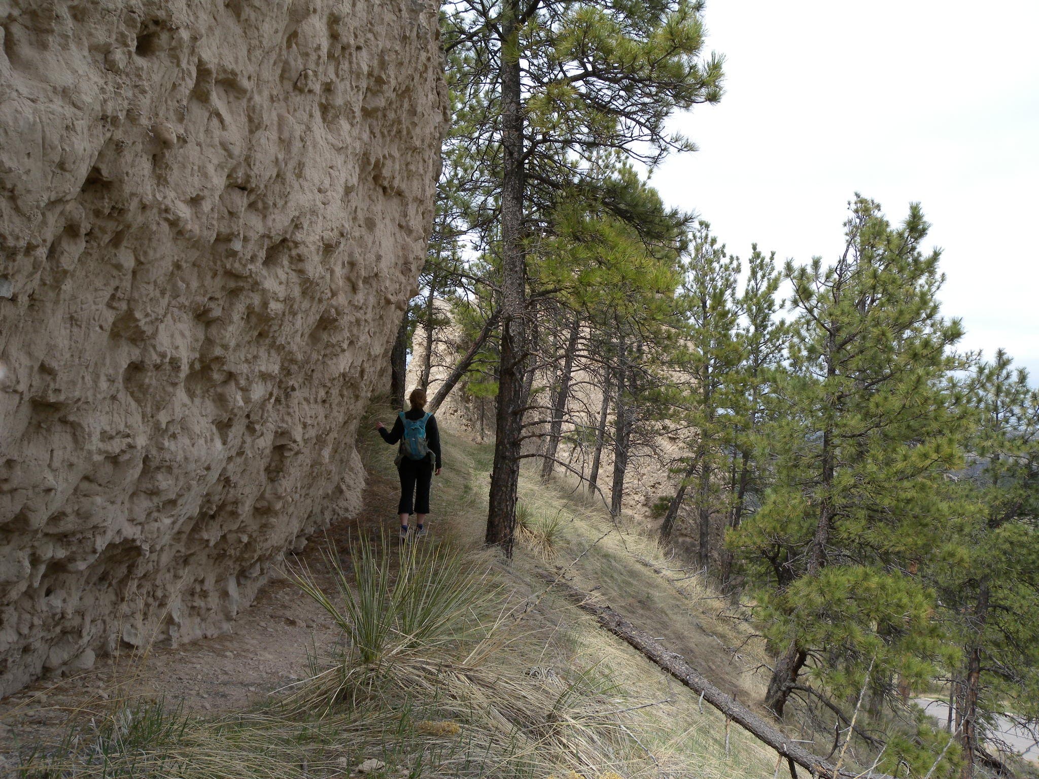
Walking below the rocky lower faces of the buttes above the trailhead.
Steps
Location: 42.7091745, -103.0181229
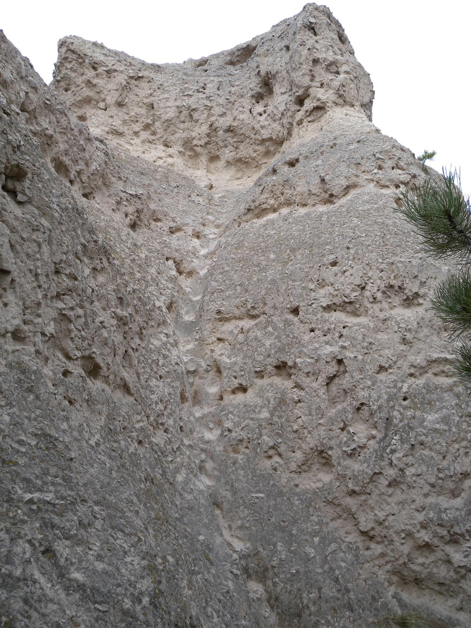
Though makeshift stairs lead the way to the top of the butte, they are slick and can be dangerous, especially on the way back down.