Catalina Island, CA: Two Harbors Campground

This 1.4-mile hike cruises to the Two Harbors campground at Little Fisherman’s Cove. From the east side of the main pier, follow the beach in front of several houses—be nice to the locals!—before turning sharply uphill beneath a row of palms. At the Y-junction near the top of the hill, stay right to follow this mapped route through several group campsites. Next, pass the ranger station then turn downhill back to the beach. Follow a sandy stretch east to a red-rock lava edge then swing west along the beach enroute to a rocky point .3 mile away.
If the tide is low, continue along the shoreline back to town. This (high-tide) route turns uphill near the Channel Cruising Club’s facility and traverses the hillside above the club to join the main trail back toward town.
WHEN TO GO: Expect a consistent run of campers along the well-worn route to campground during the summer. Winter is chiller with less crowds.
-Mapped by Kristy Holland
Trail Facts
- Distance: 2.4
Waypoints
CMP001
Location: 33.441496, -118.498192
From the Two Harbors Visitor Center, follow the well-worn path east above the beach.
CMP002
Location: 33.441147, -118.496841
Bear left at this Y-junction. The trail dips toward the beach before a short, steep palm-lined trail climbs the hillside in front of you.
CMP003
Location: 33.440833, -118.495148
Continue uphill at the Y-junction to tour the campground cabins and visit the ranger station. Turning downhill leads more directly to the beach.
CMP004
Location: 33.440332, -118.49338
Stay right to continue climbing another 200 yards toward the porta-poties and the ranger station. The climbing is almost over.
CMP005
Location: 33.439765, -118.491666
Wave hello to the rangers before turning left down the steep hill toward the beach.
CMP006
Location: 33.441722, -118.491926
There are toilets and a swim shower at the bottom of the hill. This route turns east onto the beach before cruising back toward town.
CMP007
Location: 33.442284, -118.490918
A red, lava-rock wall marks the far side of this 1.4-mile loop. Though some people wander (and cliff jump) from the wall east of here, the hillside is cactus-studded and unwelcoming for island-style (flip-flop wearing) hikers.
CMP008
Location: 33.441782, -118.492559
It is wet, rocky and sometimes impassable along this point. If the tide is too high, bear left to join the trail near this hilltop campsite.
CMP009
Location: 33.441232, -118.49533
If the tide is high, this rocky point may be the end of your west-bound beach hike. Continue west toward town if you can, but if not, turn back and uphill near the yacht club facility a few hundred yards away.
CMP010
Location: 33.441525, -118.492551
Turn uphill at the waterfront campsites and follow the steep trail south. Turn right at the first 3-way junction to follow this mapped route.
CMP011
Location: 33.440699, -118.492892
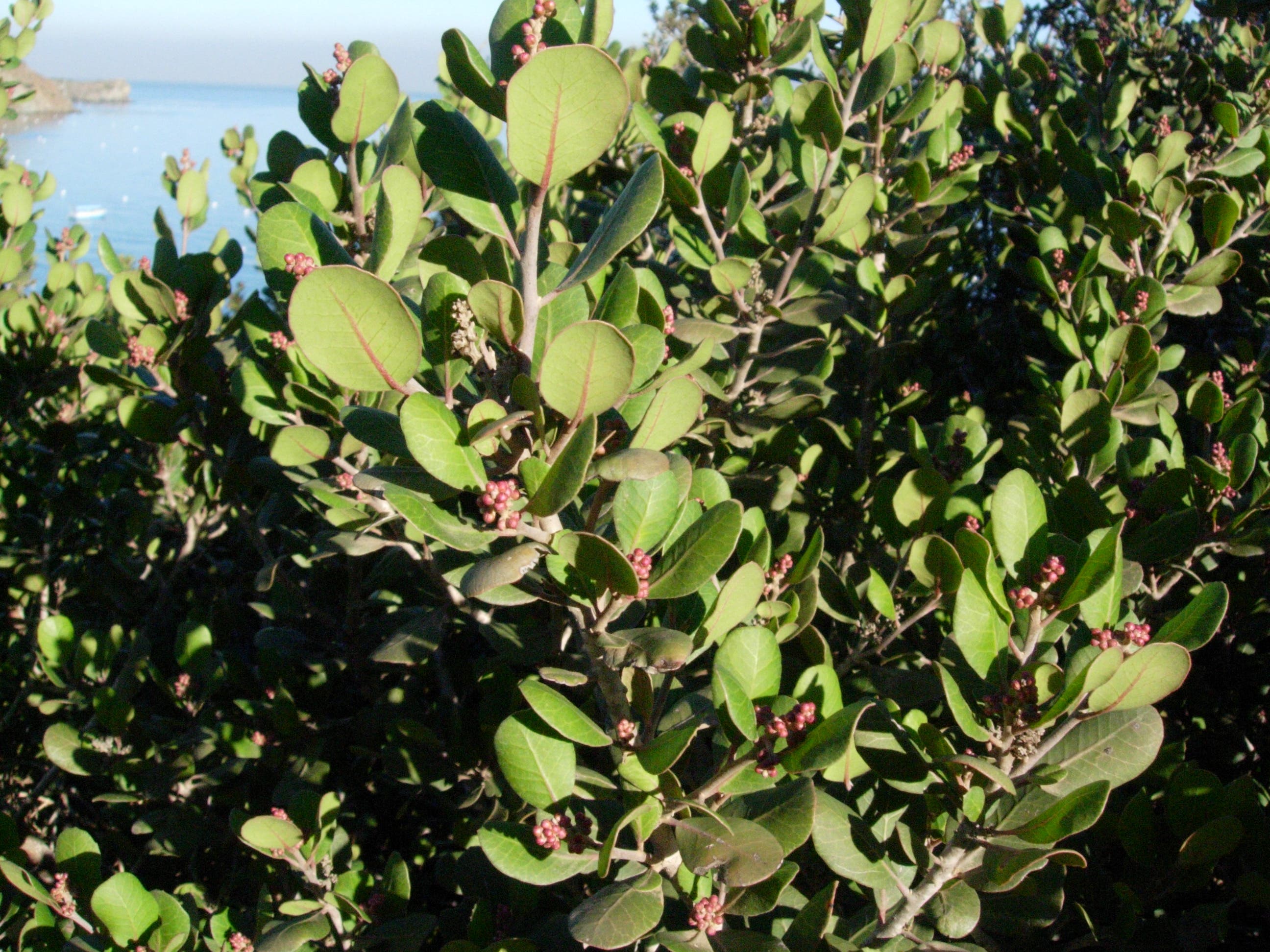
At this 3-way junction, turn right through the brush (mostly toyon and lemonade berry) to cross above the yacht club and climb a quick hill. You’ll backtrack the final few hundred yards to town.
Sign
Location: 33.441144, -118.496792
On the outskirts of town, head down to the beach (not uphill toward the houses) to reach the campground.
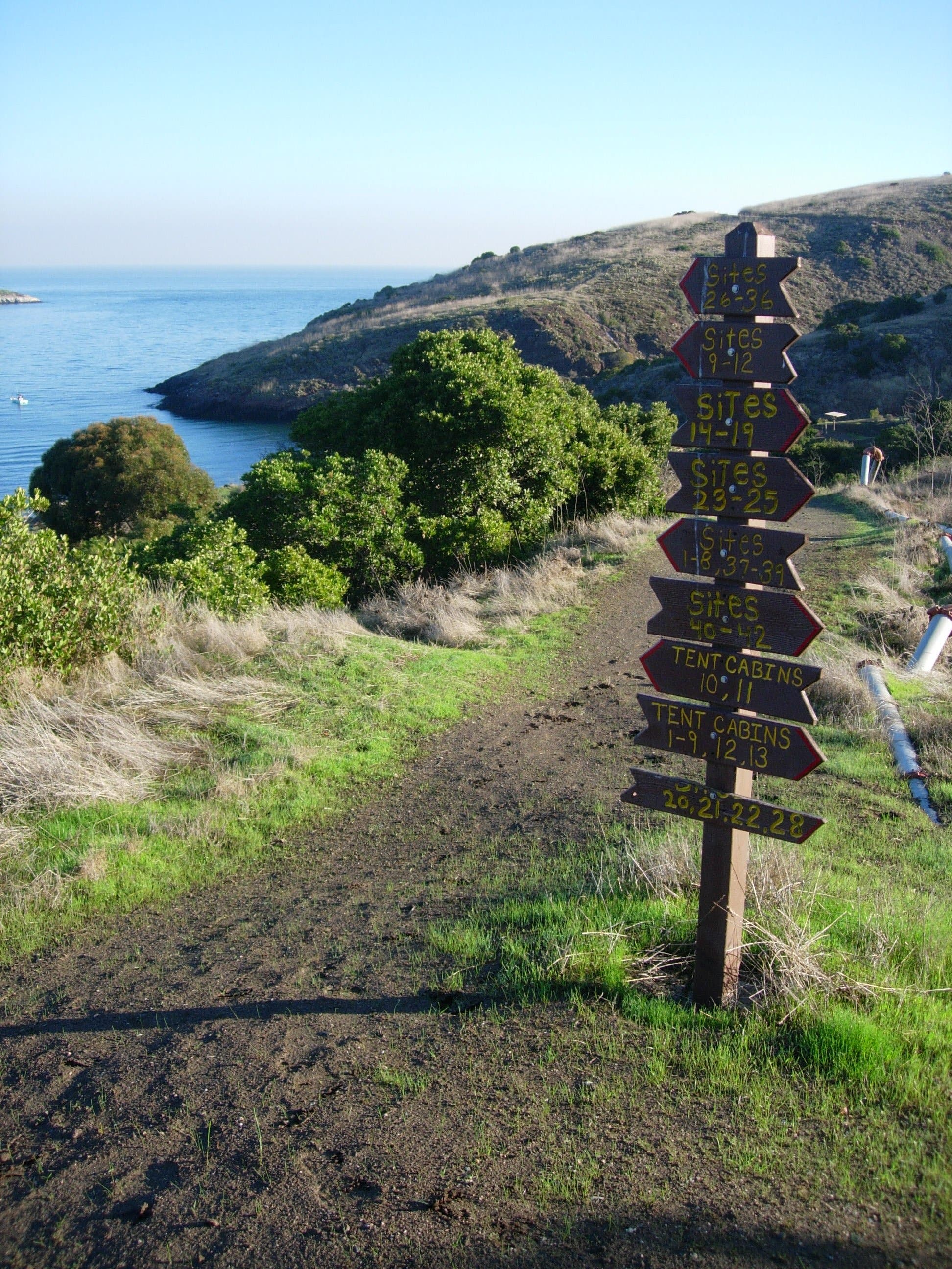
Junction
Location: 33.440339, -118.493321
A sign at the campground points to site numbers and sights.
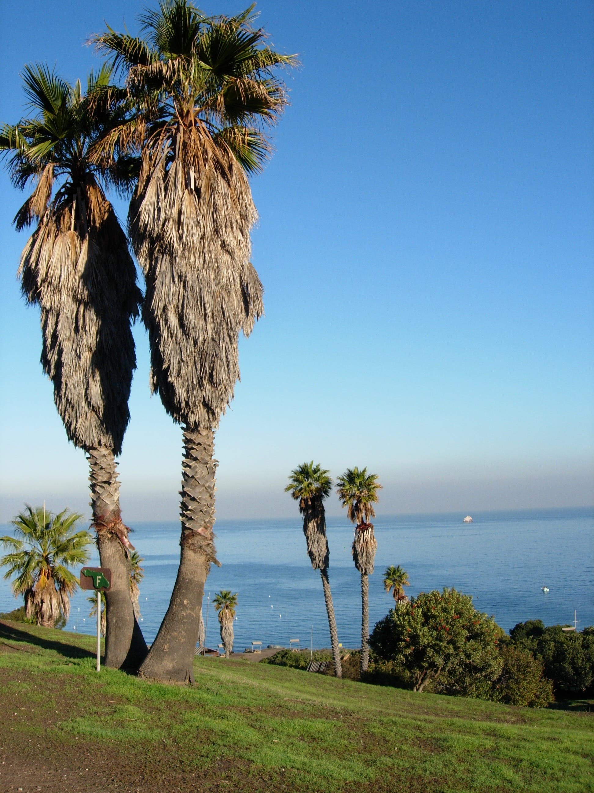
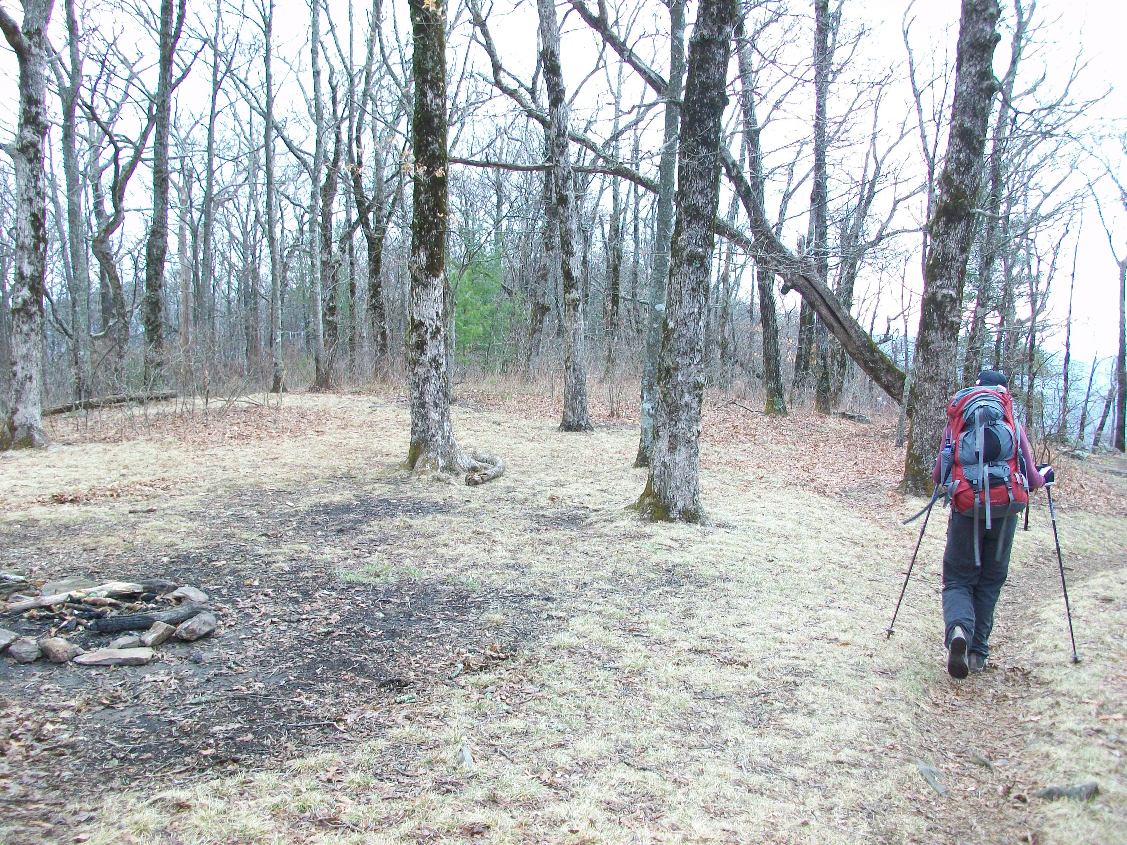
Campground
Location: 33.43973, -118.491891
Overlooking the ocean, most of the sites in the Two Harbors Campground have some variation on this view.
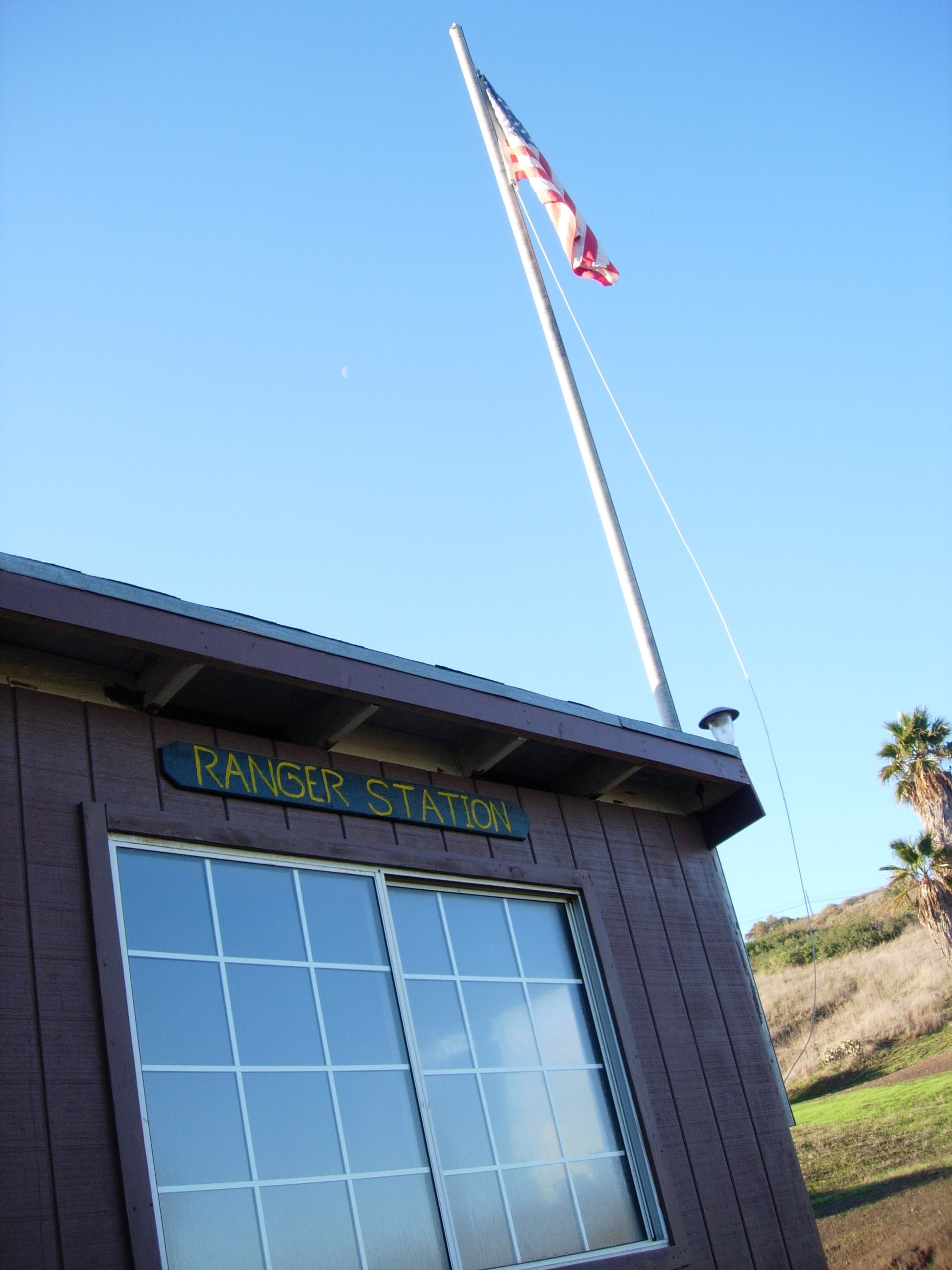
Ranger Station
Location: 33.439767, -118.491635
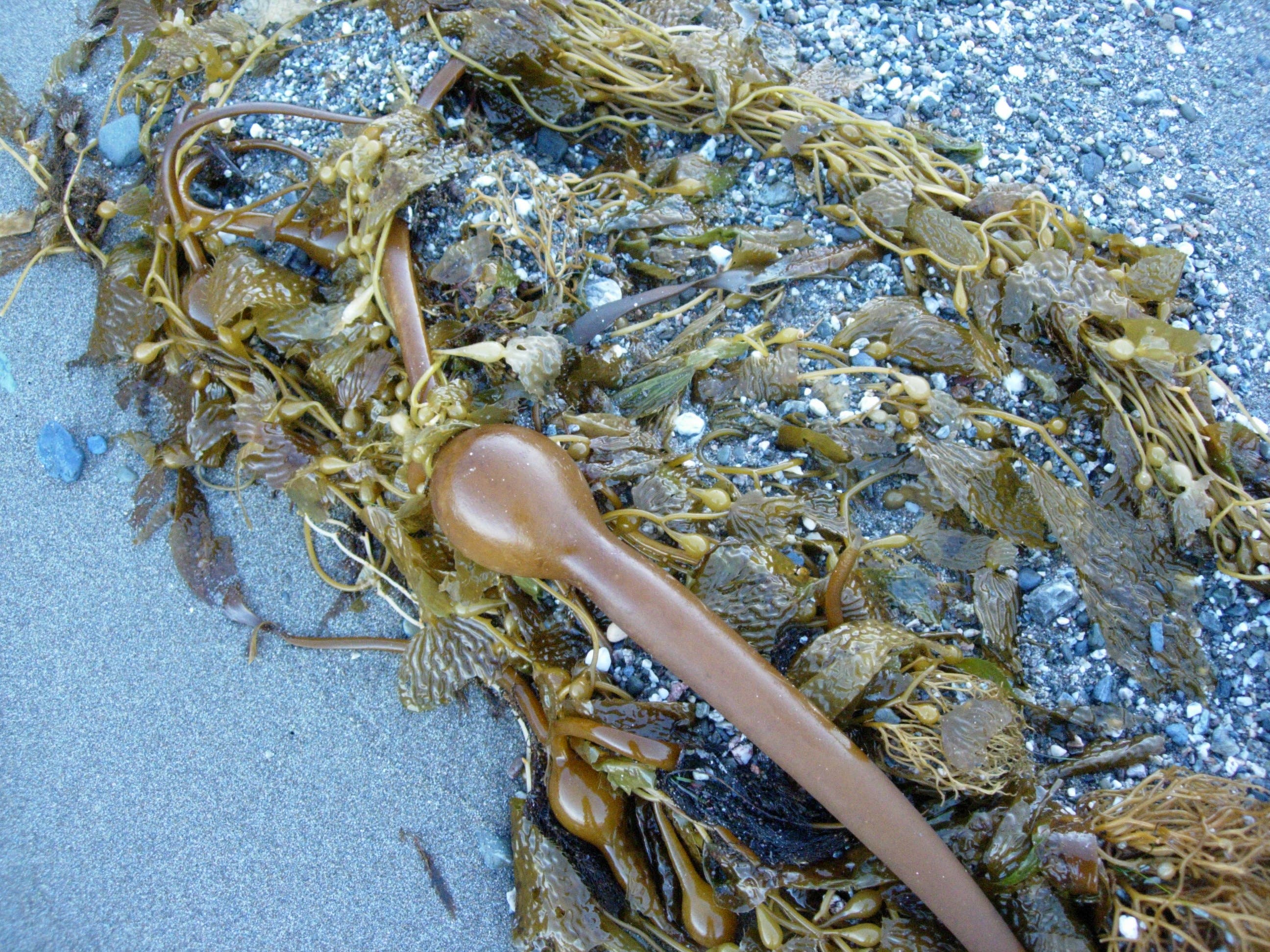
Kelp
Location: 33.441972, -118.491524
Winter storms wash all kinds of treasures onto this beach. This piece of Bull Kelp is just one, slimy example.
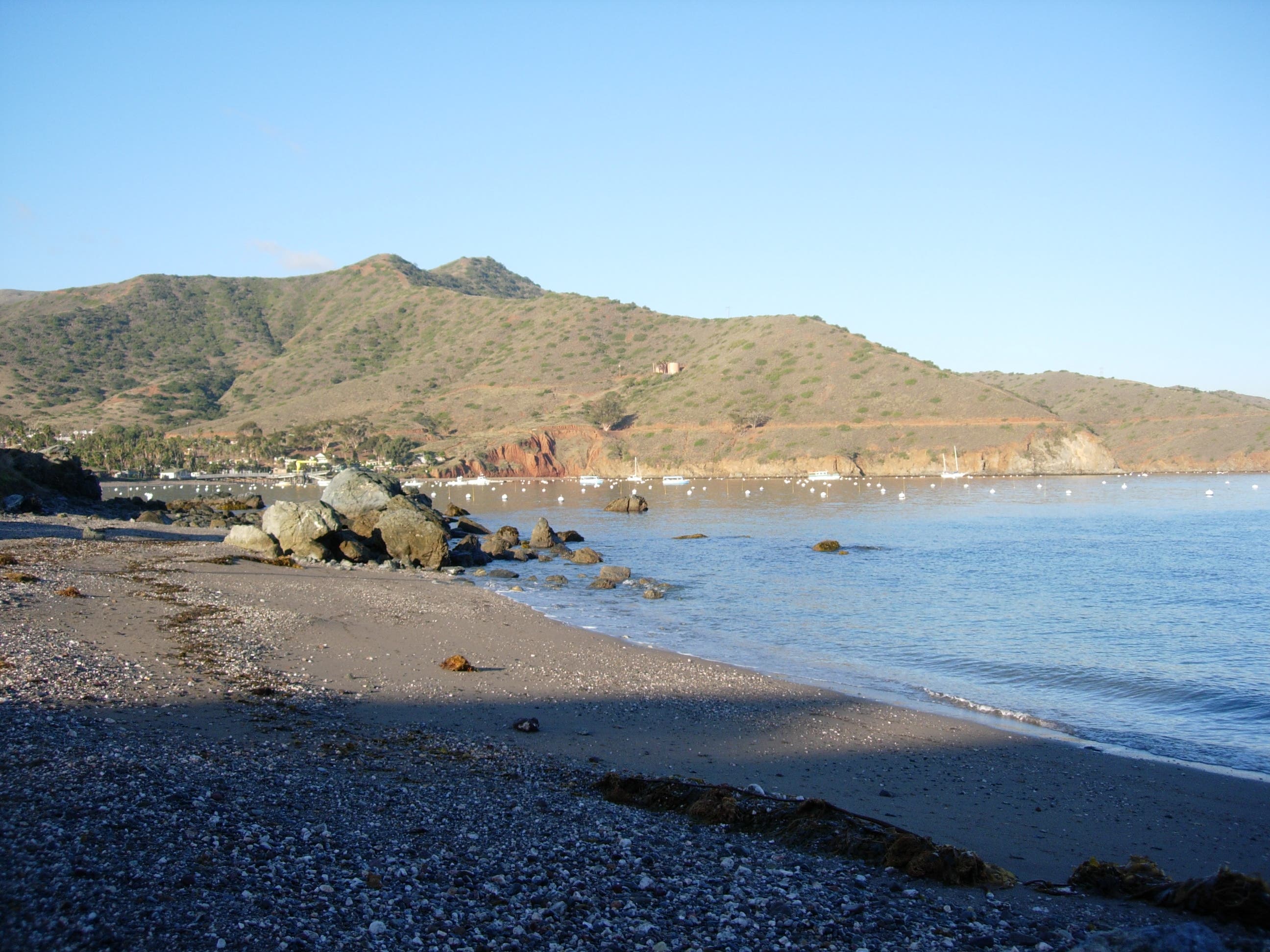
Little Fisherman’s Cove
Location: 33.442091, -118.491218
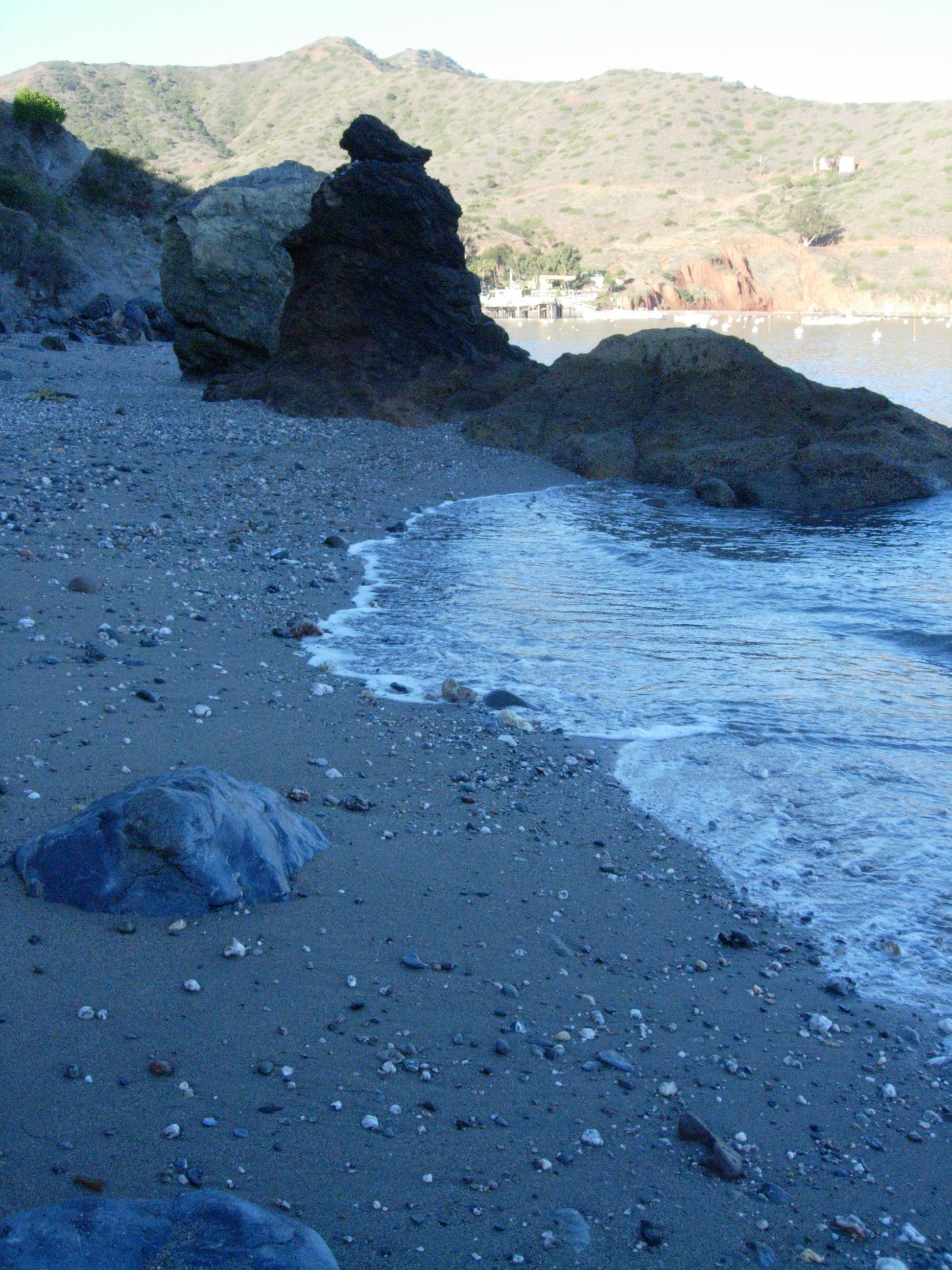
The sandy beach at Little Fisherman’s is a huge perk for campers, but anyone who walks from town (or swims) can enjoy.
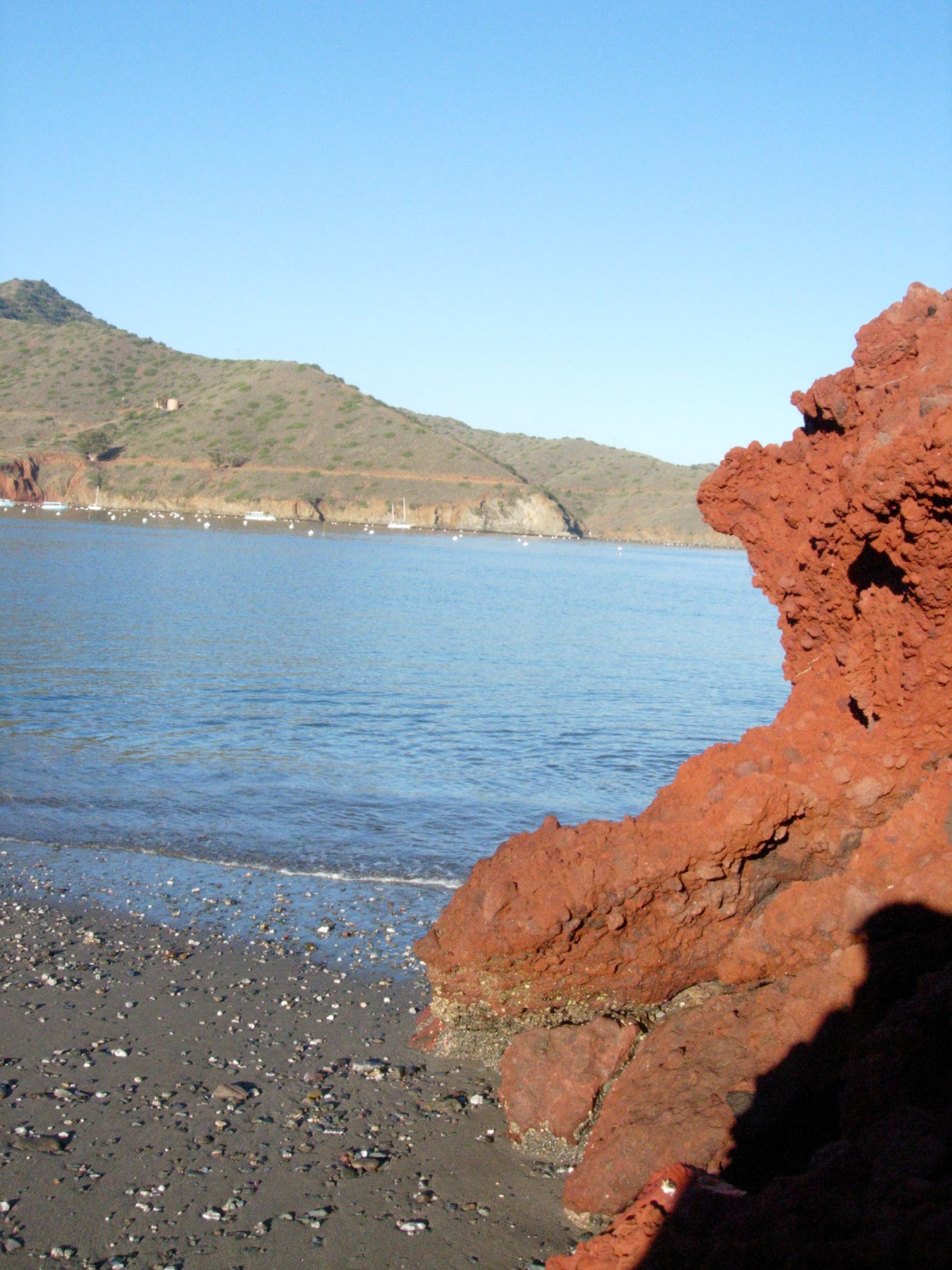
Wall
Location: 33.442279, -118.490877
An abrupt red wall is the beach’s eastern boundary. Look for crabs, urchins and anemones in the tidal zone.
Campsite
Location: 33.441717, -118.492396
One of the prime, beach-side campsites.
Point
Location: 33.441234, -118.495284
Depending on the tide, you may not be able to continue on the beach west of this rocky point.
Lemonade Berry
Location: 33.440609, -118.493192
When these berries are eraser-sized, they’re coated with a lemon-flavored gel that is fun and safe to taste.