Catalina Island, CA: Loop to Goat Whiskers

From the bus stop in Two Harbors, this hike heads south on a 0.4-mile warm-up before turning uphill just short of Cat Harbor’s muddy beach. The steep, steady climb begins on double-track, but turns quickly to a loose-surfaced footpath shooting straight up the side of the mountain. The views of the isthmus get better as you climb, so don’t feel bad about stopping to catch your breath. The climb mellows at the top of the ridge and you’ll roll over a few easy hills before reaching the trail’s high point; an open dirt clearing where several trails merge. Turn left to follow the north-leading trail downhill to Lion’s Head.
The Goat Whiskers trail intersects the West End Road at mile 3.8, on Cherry Cove’s west side. Be sure to take a few minutes to explore or picnic on the point before heading back to Two Harbors on the flat, winding road. You’ll skirt Cherry and Fourth of July coves—look for old mines along the road’s righthand side—before rounding a final bend into the Isthmus. A short cut trail turns downhill just past the wooden bench above town, spitting you out a few minutes from the Two Harbors General Store where you can snag a well-earned ice-cream cone.
-Mapped by Frannie Finley


Trail Facts
- Distance: 10.4
Waypoints
LGW001
Location: 33.4409, -118.49858
Begin this hike from the bus stop, just behind the public restrooms, and walk southwest towards Cat Harbor. Stick to the footpath alongside the road and watch for traffic from Isthmus work trucks and the town’s 250 residents.
LGW002
Location: 33.4391233, -118.5006166
After passing the Isthmus Yacht Club (one of the island’s oldest buildings) on your left, look for the rope swing in this eucalyptus grove.
LGW003
Location: 33.43671, -118.50215
Before reaching the Cat Harbor beach, follow this well-trod path on the right. This point marks the beginning of a long uphill climb.
LGW004
Location: 33.43662, -118.50411
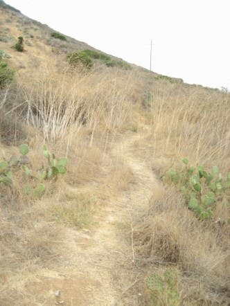
About 200 yards from the road, turn right onto a smaller footpath that leads uphill along the side of the mountain.
LGW005
Location: 33.44035, -118.50662
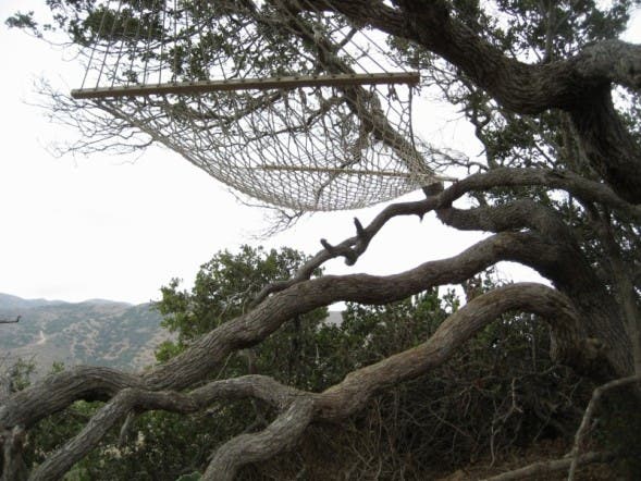
Hang out for a few minutes in this scrub-oak-suspended hammock. You’ll appreciate the opportunity for a mid-climb breather and amazing isthmus views.
LGW006
Location: 33.439819, -118.50836
After the hammock-adorned rest stop the trail curves west along the edge of the hill and turns sharply right toward the spine of the west end.
LGW007
Location: 33.44261, -118.50874
As you near the top of the hill, stay to the left. The right-leading trail follows a steep ridge downhill and back to town.
LGW008
Location: 33.44735, -118.52558
A final, short climb from the ridge ends at this route’s high point, 2.3 miles from the trailhead and just over 1,100 feet above sea level. From the large dirt circle, this route turns north and begins the long downhill trek to Lion’s Head.
LGW009
Location: 33.452, -118.52192
Turn right at this Y-junction, to follow the Goat Whiskers trail. Between 1990 and 2004 the Catalina Island Conservancy, the organization that manages the island’s fragile ecosystem, removed more than 8,200 non-native goats from the island.
LGW010
Location: 33.45218, -118.50506
At mile 3.8 the singletrack trail joins the road above the Cherry Cove Boy Scout Camp. Stop for a quick exploration of the winding trails atop Lion’s Head and look to the water for glimpses of the bright-orange Garibaldi (California’s state fish) swimming in the kelp below. Stick to the main road to turn back toward town. All the cove camps are private property and do not take kindly to trespassing hikers who stray from the winding road.
LGW011
Location: 33.44868, -118.50079
It’s just under 1.5 miles along the road from Lion’s Head to this bench and lookout above Fourth of July Cove. The wide road is nearly flat, but watch for occasional cars and quads traveling the windy road between west-end camps and the town of Two Harbors.
LGW012
Location: 33.44337, -118.50026
After passing through an old gate and beneath a eucalyptus tree, turn downhill on the well-trod path past several private residences. This path is steep and can be very loose, especially near the top. Watch your step, or continue above town on the main road and add just a quarter-mile to your trip.
LGW013
Location: 33.4416077, -118.4990072
End your hike with an ice-cream cone from the Two Harbor’s General Store. The window for a hand-scooped cone is open from early summer through October, but there is ice-cream inside all year long.
Isthmus Cove
Location: 33.443331, -118.5002089
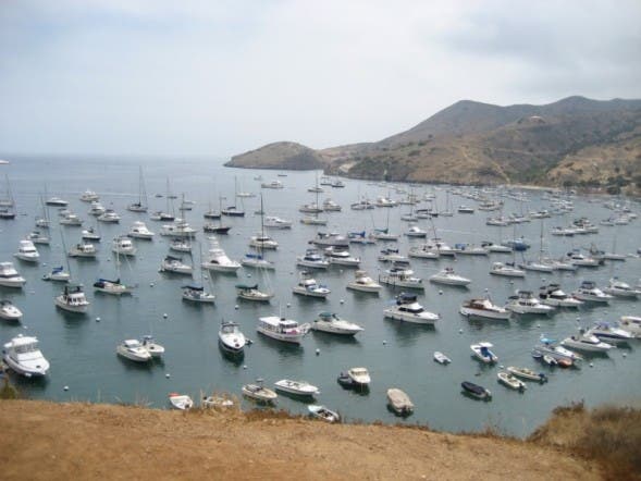
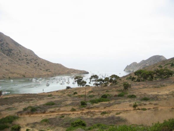
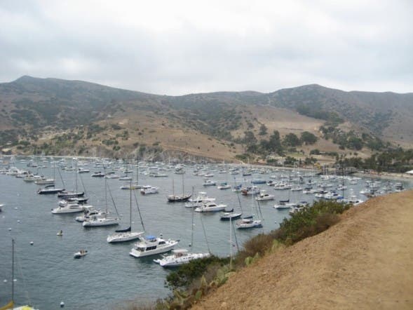
Full of moored boats on an overcast summer day. © Frannie Finley
Foot Path
Location: 33.4408422, -118.4985459
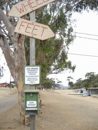
This sign near the Two Harbors bus stop points pedestrians to the footpath paralleling the road. © Frannie Finley
Road
Location: 33.4398216, -118.4995115
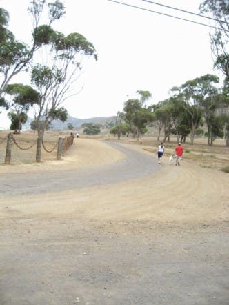
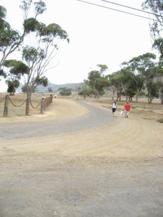
You’ll cross this dirt road near the Isthmus Yacht Club and continue on the wider road across Catalina’s skinniest point. © Frannie Finley
Begin Uphill
Location: 33.4368671, -118.5023654
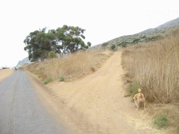
Follow this dirt doubletrack that takes off of the Cat Harbor Road about 0.4 miles from the trailhead. © Frannie Finley
Cat Harbor
Location: 33.4376371, -118.5042644
As you begin climbing be sure to stop and look around for great views, like this southwest angle showing Cat Head on the right and Ballast Point on the left. © Frannie Finley
Ridge
Location: 33.4365985, -118.5038781
This small footpath branches off the larger one, just above the Cat Harbor Road. © Frannie Finley
Hammock
Location: 33.4403946, -118.5064316
A rest- and viewpoint rolled into one. © Frannie Finley
Marker
Location: 33.443152, -118.5087168
Don’t disturb this geodetic survey marker, it’s a signal to hikers that the worst of the climb is over and there are only a few rolling hills before the trail’s highpoint. © Frannie Finley
Lemonade Berry
Location: 33.4434385, -118.5095
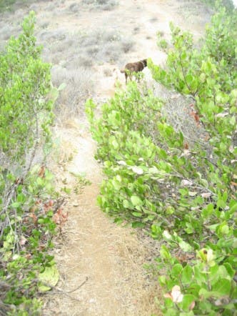
The ridgetop trail is lined, and sometimes overgrown with lemonade berry, sage and prickly pear cactus, but once you’ve reached the ridge, the climbing mellows and there are well-deserved downhill interruptions. © Frannie Finley
Rocky
Location: 33.4456228, -118.5191774
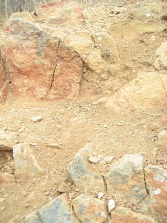
Though most of the ridge-top trail is smooth and easy to follow, there are one or two rocky sections where you’ll need to watch your step. © Frannie Finley
View
Location: 33.4471984, -118.5256147
From the large dirt-covered overlook at this route’s high point, you’ll look north toward the trail and catch glimpses of Howland’s Landing on your left. © Frannie Finley
Goat Wiskers
Location: 33.4519608, -118.5218167
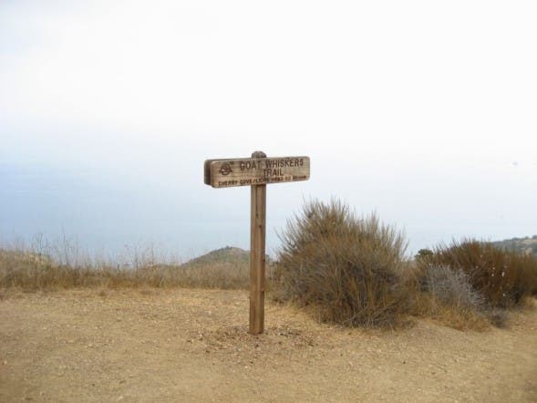
The Goat Whiskers trail sign © Frannie Finley
Road
Location: 33.4523547, -118.5058093
Watch your step on the loose gravel surface of the trail as it nears the road. This section is the last steep downhill as the route from here follows an easy-grade road along the island’s north side. © Frannie Finley
Bench
Location: 33.4486307, -118.500917
This memorial bench offers a great view of Fourth of July Cove. © Frannie Finley
Moorings
Location: 33.4458377, -118.4984922
Though you’ll see plenty of boats in coves along the road, rounding this bend offers a great view of the Isthmus Cove mooring field. © Frannie Finley