Catalina Island, CA: Ballast Point Loop
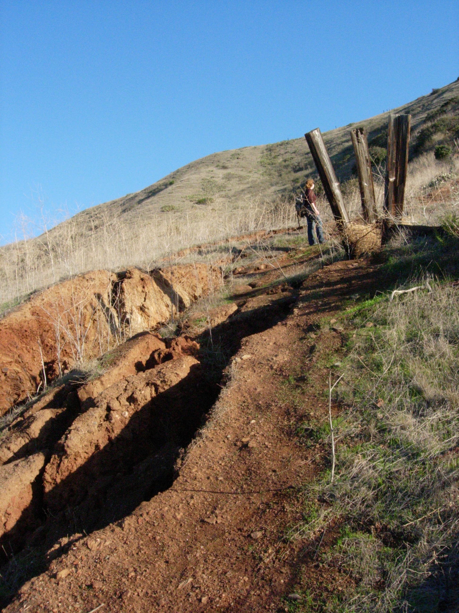
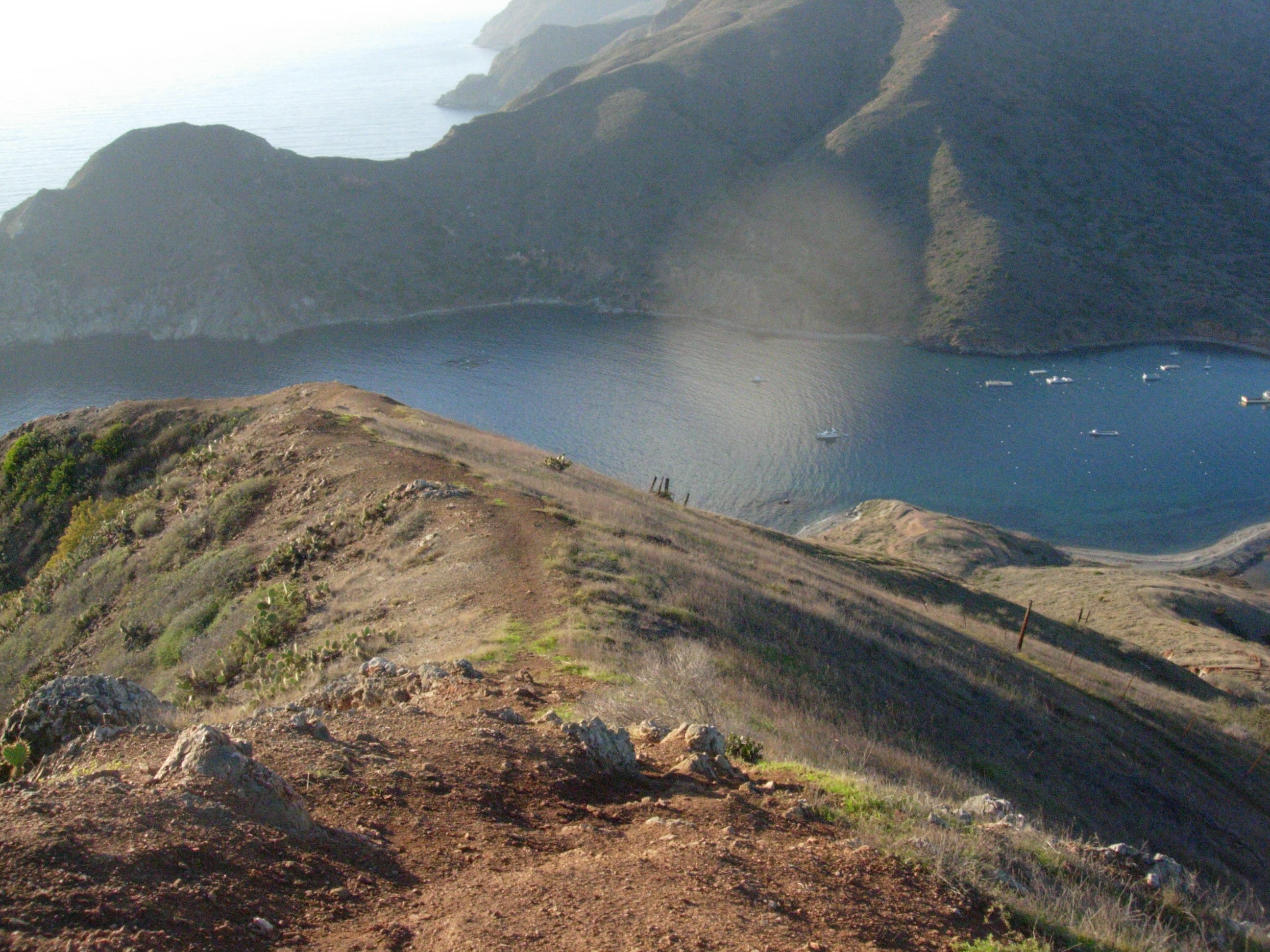
A popular day-hike for boaters and campers visiting Two Harbors, this challenging three-mile loop is offers the best (relatively) easy-access overlooks of the town. Begin at the bus stop near the bathrooms and hike the road, past the playground and past the Two Harbors Yacht Club (one of the island’s oldest buildings). On the south side of the isthmus, bear left onto the side road that crosses a grassy field. Though this route sticks to the wide dirt road, if the tide is low, consider cruising the rocky beach instead. At mile 1, the road splits and this route turns uphill on narrow single-track that cuts across the hillside on your left. It’s a steep climb and as you approach the island’s edge, you’ll notice erosion damage. Stick to solid ground and don’t get close to the crumbling cliff edge as you climb. After 15-20 huff-and-puff minutes, you’ll arrive atop the rocky, open apex of Ballast Point which overlooks Two Harbors and offers up-close views of Catalina’s rugged “backside.” ON a clear day, you’ll likely see nearby San Clements Island. Relax for a few minutes before following the road that makes up this route’s return trip.
The island’s dry, desert-like climate is prime habitat for rattlesnakes, and there is no drinking water anywhere on the route. Be sure to bring your own and let someone know where you’re headed. -Mapped by Kristy Holland
Trail Facts
- Distance: 4.9
Waypoints
BAL001
Location: 33.440893, -118.49825
Begin hiking from the bus stop and bathrooms just uphill from the Two Harbors visitor center. You’ll follow the road south, past the little red schoolhouse and continue toward Catalina (Cat) Harbor.
BAL002
Location: 33.437338, -118.500265
Bear left on the road that crosses toward the east side of the harbor. You might spot a resident rouge bison or a group of locals playing softball as you cruise past the big, dirt field and continue on the palm-lined road.
BAL003
Location: 33.429345, -118.504533
The road grade is gently rolling until this point where the road splits, just before the 1-mile mark. If you’d like to add a little distance, take the 0.3-mile round-trip on the uphill road that ends at a bench on Lower Ballast Point. This route turns uphill onto a small trail that begins gaining elevation very quickly.
BAL004
Location: 33.428106, -118.504082
The singletrack footpah rises quickly through the grassy hillside. Watch for sunning rattlesnakes and branch left when you can. You’ll trace a decrepit fenceline as you climb and it’s steep, rocky and loose in places.
BAL005
Location: 33.425245, -118.499308
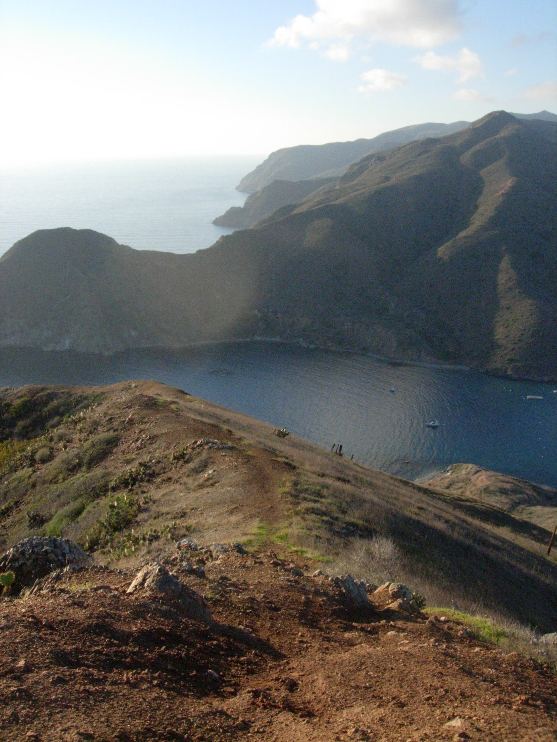
There’s a rocky outcropping at the top of the hill. Watch your footing as you peek over the edge and into the Pacific and look for the endemic Catalina Live forever on the rocky cliffs. This road-end viewpoint is a popular destination for locals and visitors, but it’s still likely you’ll have it to yourself for at least a few minutes. When you’re ready to move on, follow the rolling road that traces the ridge line heading northeast.
BAL006
Location: 33.428236, -118.492548
Follow the road downhill as it turns east but before hitting the low point in the dip, bear left onto the trail. If it’s been a wet winter, the grassy path might be hard to find. If it looks overgrown, you can easily loop around on the road instead.
BAL007
Location: 33.429578, -118.491202
At mile 2, you’ll hit Banning House Road. Follow it downhill toward town, but look left for birds-eye views of Catalina Harbor and right for 25-mile views of Los Angeles. Stay straight on the main road and head for the eucalyptus grove up ahead as you make the steep descent.
BAL008
Location: 33.43744, -118.497076
You’ll pass below the Banning House, Two Harbor’s only hotel, for the final stretch of the descent. The Banning House is a popular spot for Island weddings and it hosts weekly happy hours during the summer–check with the visitors center for details.
BAL009
Location: 33.439643, -118.499136
At the bottom of the hill, turn right to bypass the little red schoolhouse and return to town.
Little Red Schoolhouse
Location: 33.439696, -118.498895
You’ll pass this one-room school for the Isthmus kids (grades K-6) twice.
Cat Harbor
Location: 33.435882, -118.501089
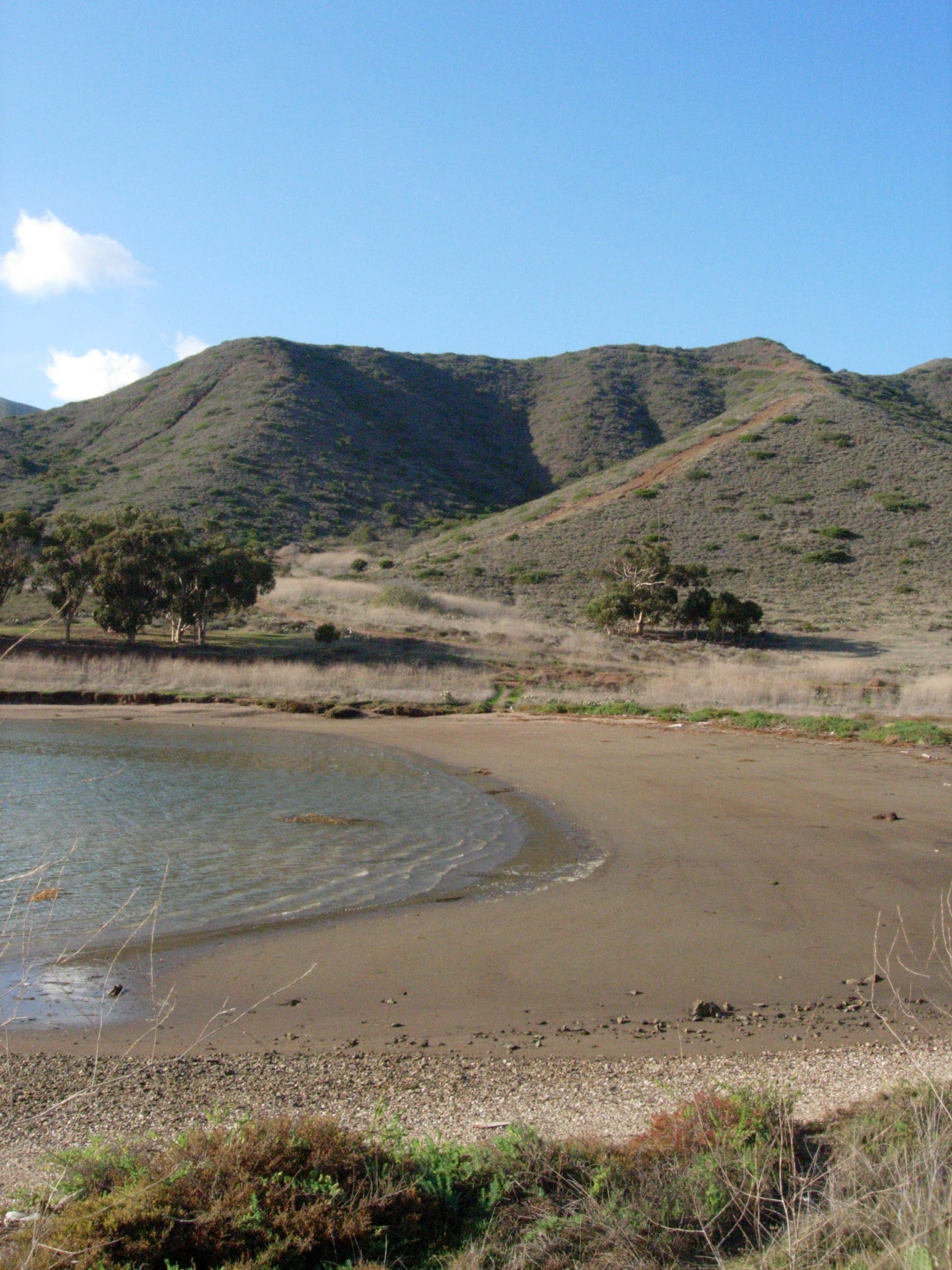
The wide, muddy beach at the back of Cat Harbor is a good place to explore at low tide. Lots of things wash up.
Trail
Location: 33.430653, -118.50405
From the road warm-up, you can see the beginning of the big climb.
Erosion
Location: 33.427323, -118.502719
Stay clear of the edge.
Top
Location: 33.425174, -118.499372
Looking down the trail that this route follows to the top of the hill.
Cat Head
Location: 33.425174, -118.499329
Looking over Cat Head toward the island’s west end.
Fence
Location: 33.42786, -118.49581
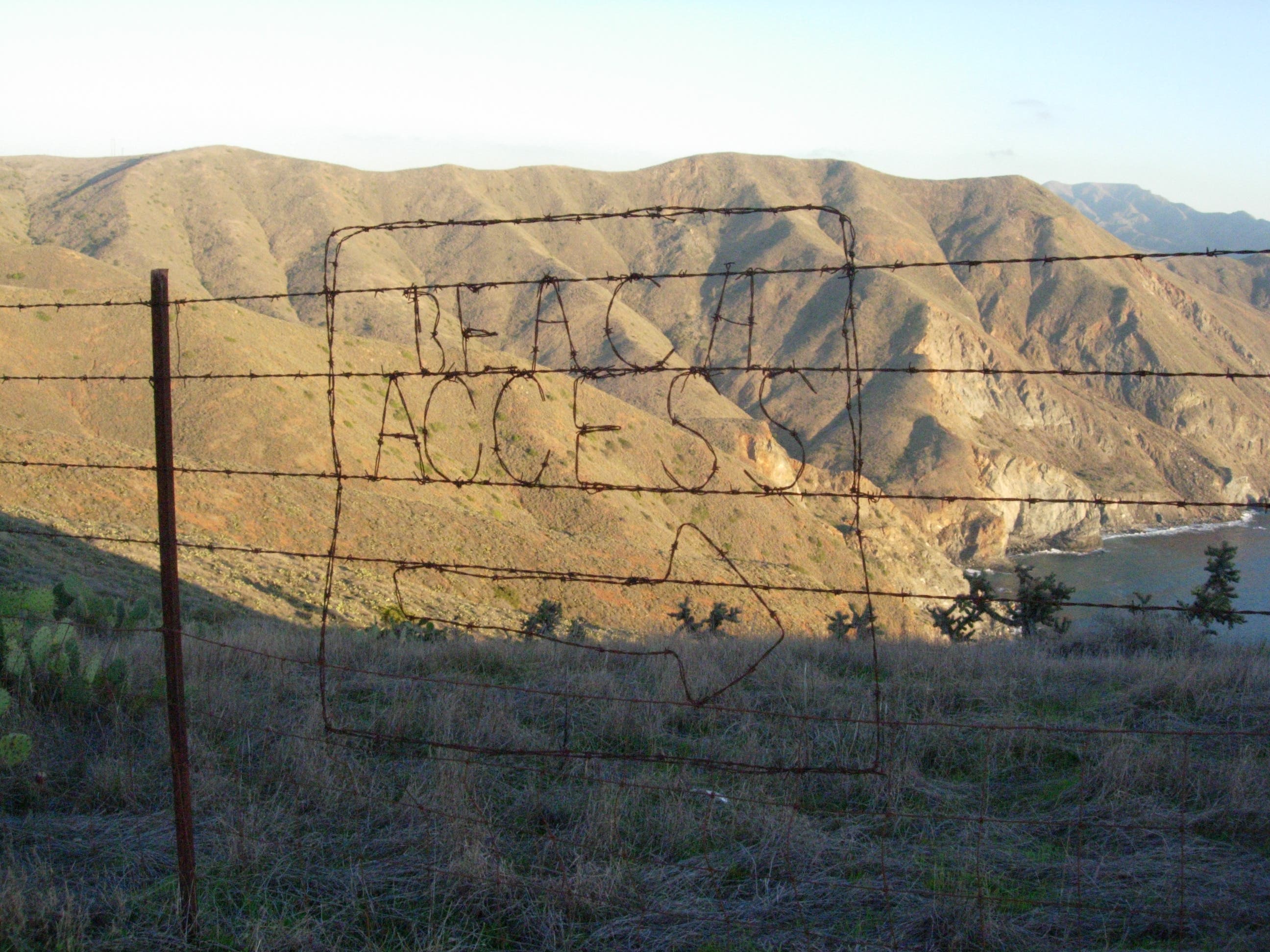
Passers by have decorated this old, barbed wire fence with words and jokes. The beach is that way… but it’s about 1,000 downhill.
Road
Location: 33.43051, -118.492334
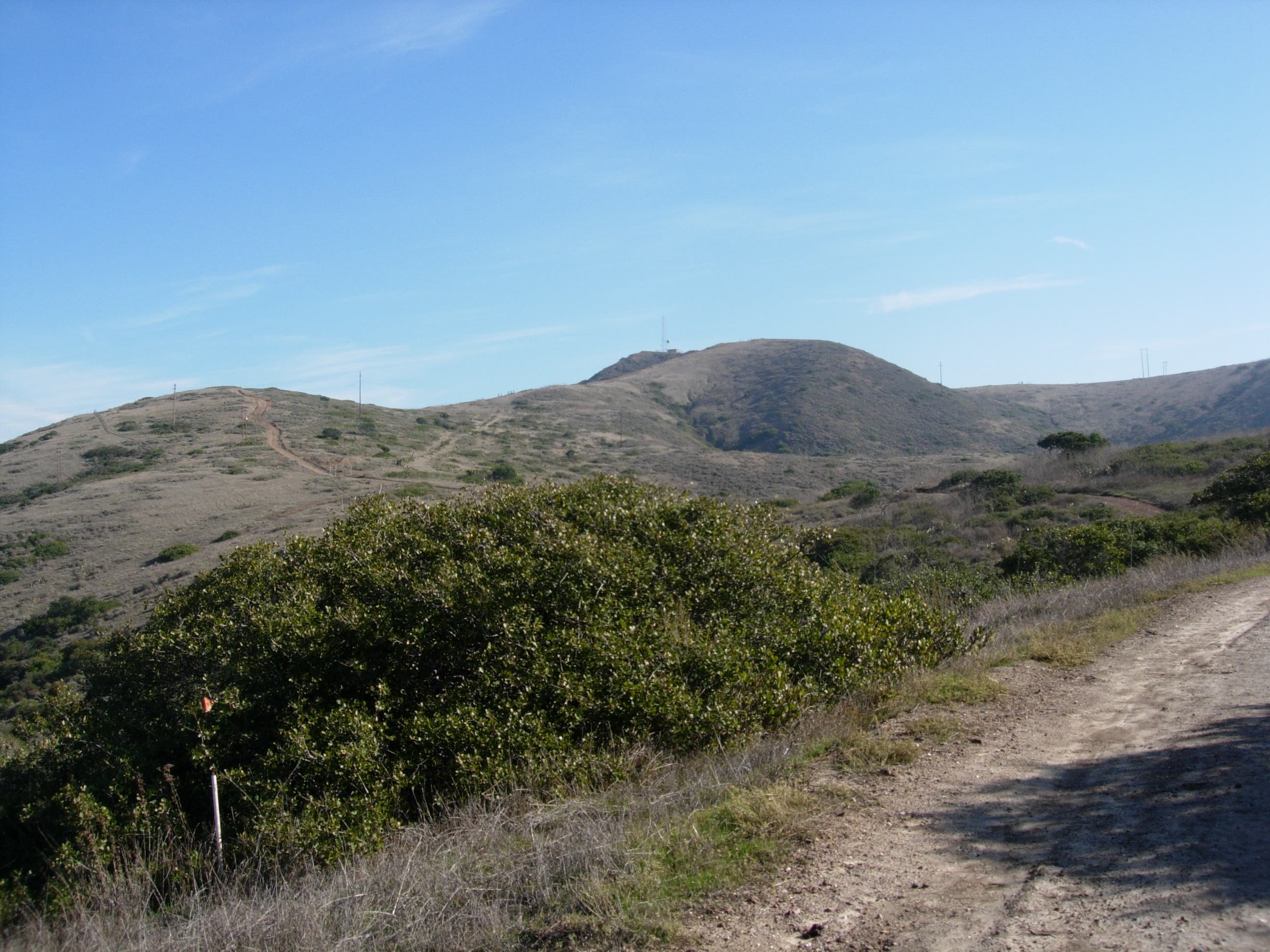
The downhill leg of the loop follows an old road. Look behind you for this view of the radio tower, another popular day-hike destination.