Carlsbad Caverns National Park: Carlsbad Cavern

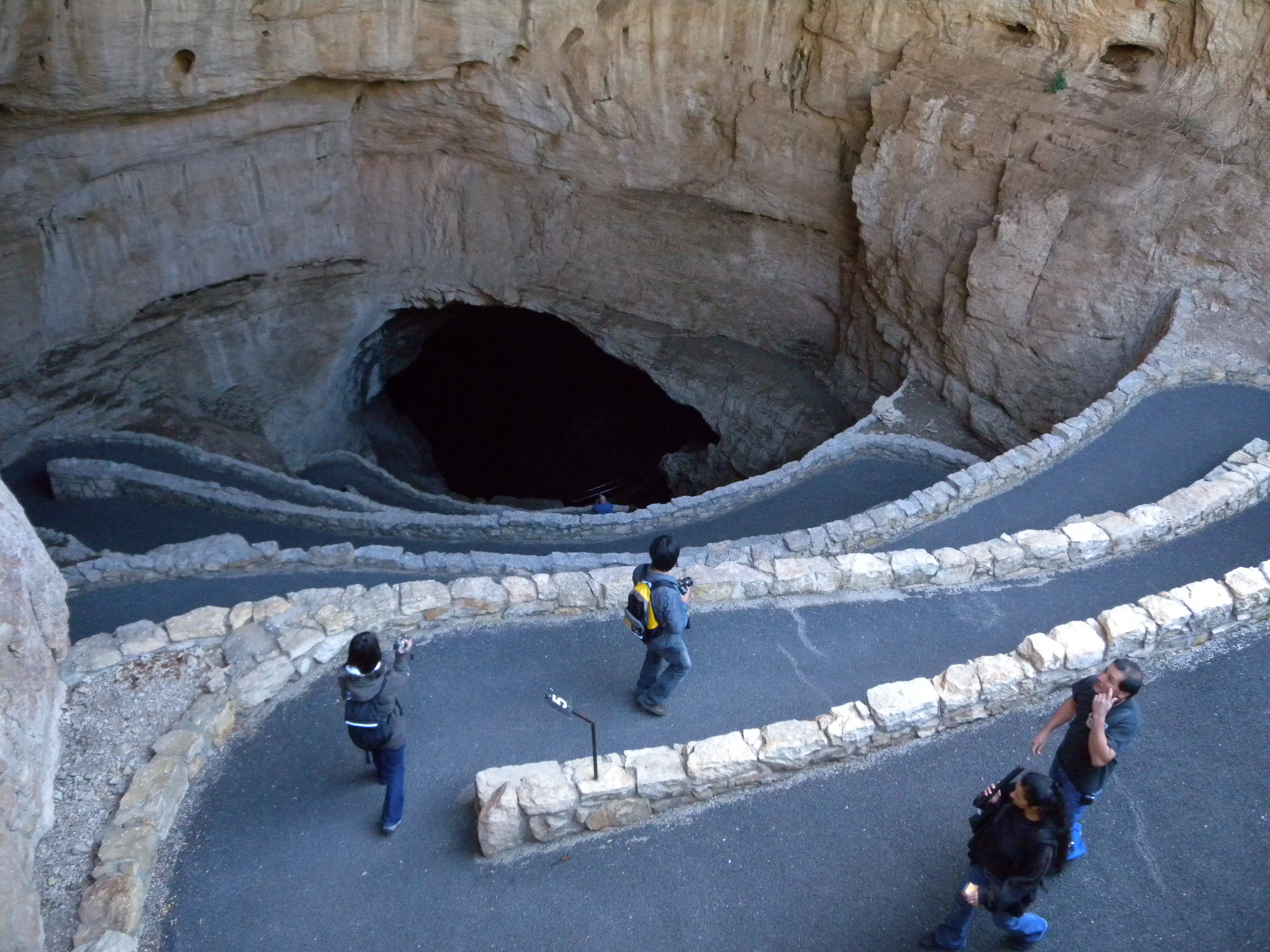
Though there are above ground trails and other caving opportunities in Carlsbad Caverns National Park, the park’s main attraction is a 2.5-mile self-guided tour through it’s namesake cave. From the Visitors Center, the wide, paved path heads downhill toward the gaping natural entrance. Stop briefly for a ranger-led safety talk (and to hand over your tickets) before dropping into an amphitheater and into the mouth of the cave. The smooth, paved trail switchbacks steeply, winding toward the twilight zone, the end of the zone where natural light is visible. You’ll skirt larger and larger speleothems (cave formations) heading deeper into the cave—watch your step and use the handrails—stalactites, stalagmites and other formations are formed by trickling water that canmake cave surfaces, including the trail, slippery. Within the first mile, the trail drops almost 750 feet underground toward a 200,000-ton rock that fell to the cave floor near the entrance to the Great Room.
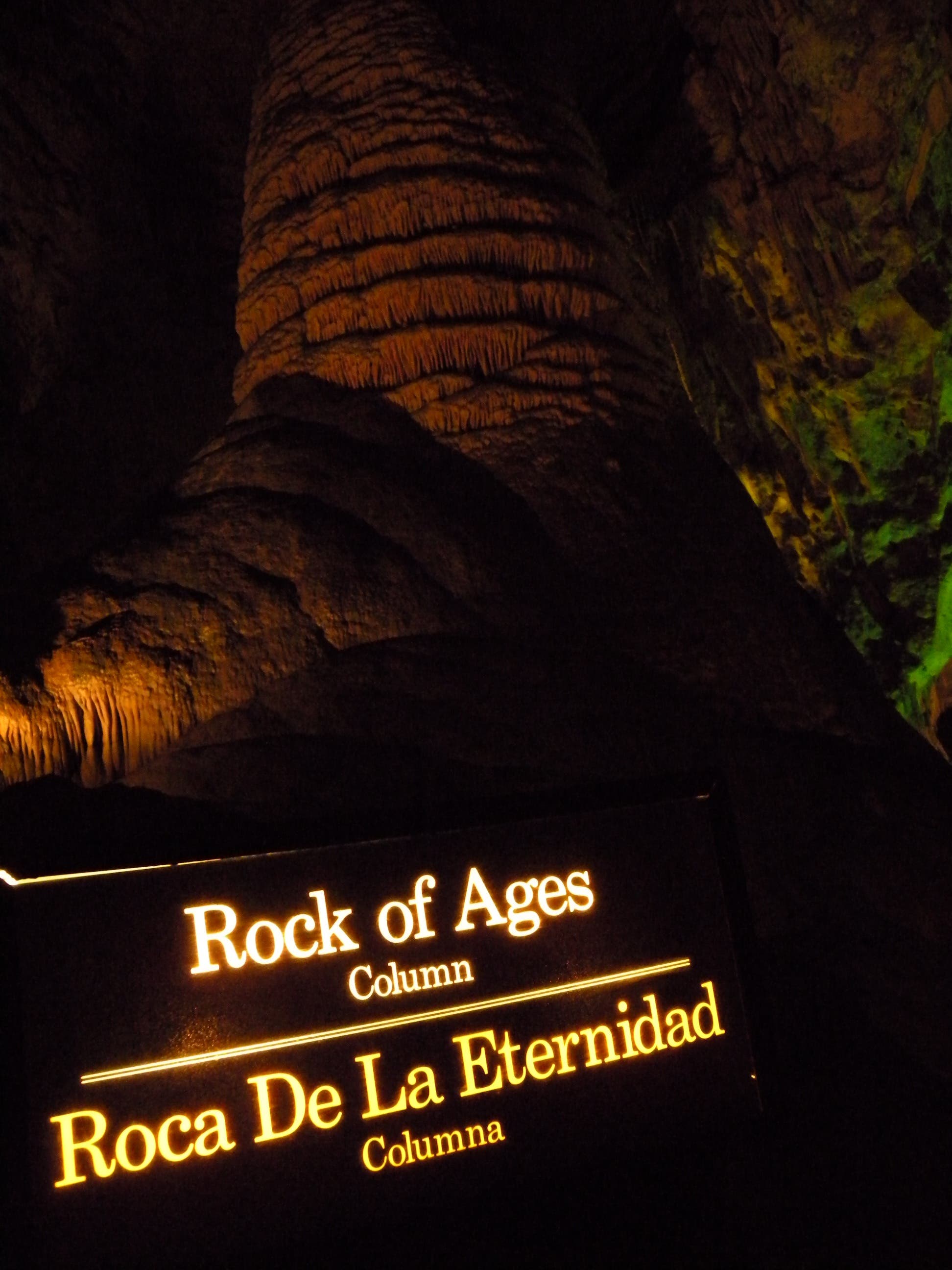
The hike’s second half is mostly flat and loops past some of the cavern’s most impressive features: the Hall of Giants, a totem pole like formation, the Rock of Ages, and countless others including miniature displays that are equally spectacular. There are benches, turn-outs, interpretive signs, and well-lit features throughout the Great Room.
Though you won’t need a GPS for this route—complete with paved surfaces, hand-holds, and an audio-tour option—it’s worthwhile to know what to expect on this hike. Bring powerful flashlight (and extra batteries) so that you can see more than the dimly-lit features highlighted by the park, and also bring a warm layer of clothes—the cave’s temperature dips to 56-degrees no matter how high the outside temperature soars. Also, eat and drink before beginning the 2-hour tour, you won’t be allowed to bring food or beverages (except for bottled water) with you into the cavern.
-Mapped by Kristy Holland


Trail Facts
- Distance: 3.9
Waypoints
CBC001
Location: 32.175358, -104.444146
This hike begins at the ticket counter in the park’s main visitor center. There is no entry fee for the park itself, so this small fee for entrance to the cave is the only expense for this trip.
CBC002
Location: 32.176593, -104.441853
Stop for the ranger-led safety talk before dipping into the canyon. There is also a restroom on the north side of the parking lot near here. This is the last available restroom for more than 1 mile.
CBC003
Location: 32.176943, -104.440989
Skirt the amphitheater before dropping into the cave’s natural entrance. The next 2.3 miles drop over 750 feet into the cavern. GPS units, cell phones and ohter signal-driven devices won’t work underground, but there are safety phones along the trail to call for help in emergency situations.
CBC004
Location: 32.175458, -104.443671
An elevator shuttles hikers back and forth between the cavern and the surface. If you have knee or other medical problems that make the downhill hike unrealistic, you can still take the elevator to the Great Room for the flat, 1.2-mile loop. All hikers must take the elevator back to the surface.
Signs
Location: 32.175599, -104.443398
Warnings about the steep trail leading into the cavern up ahead.
Ranger
Location: 32.176598, -104.441853
You’ll have to stop for a safety talk and to hand over your ticket.
Descent
Location: 32.177084, -104.441091
Looking into the mouth of the cave from the base of the amphitheater.
Warnings
Location: 32.176979, -104.440978
There are handrails along both sides of the trail, so it is nearly impossible to stray from it, but doing so could damage the cave’s natural features and get you lost.
Bats
Location: 32.176984, -104.440978
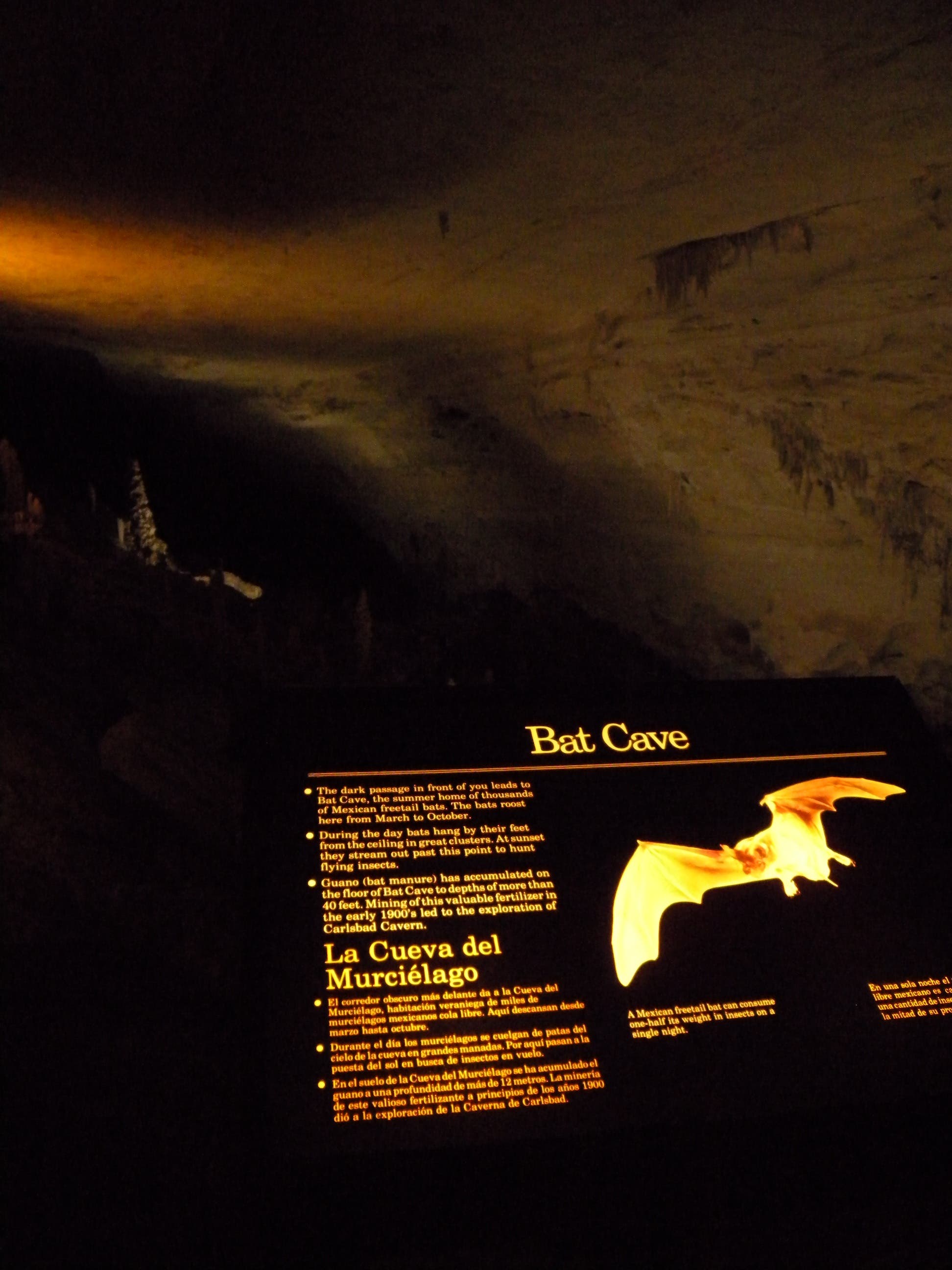
You’ll smell evidence of the cave’s Brazillian free-tail bat colony near the cave entrance, but you’re unlikely to see any on this route. The outflight (at dusk between April and October) is worth sticking around to watch.
Rocks
Location: 32.176984, -104.440978
Hikers stopping to admire a rock-garden just past the twilight zone.
Witch’s Finger
Location: 32.176979, -104.440984
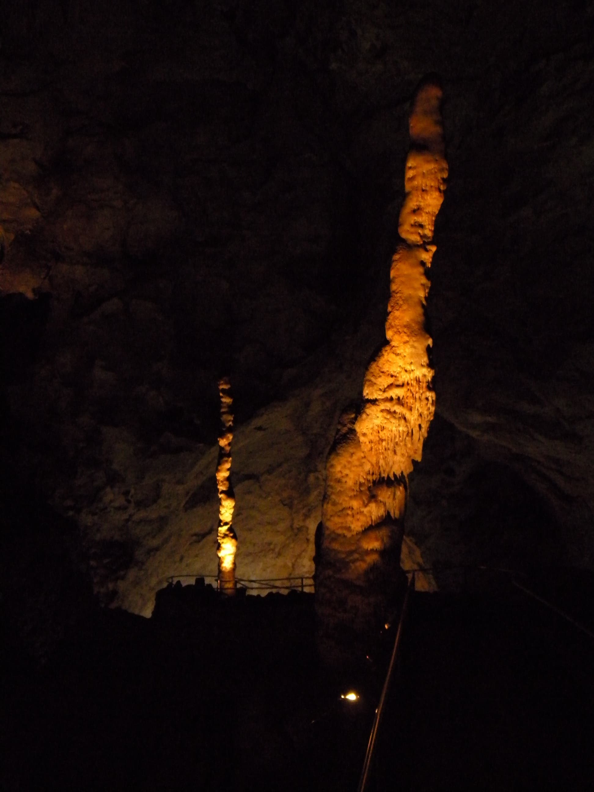
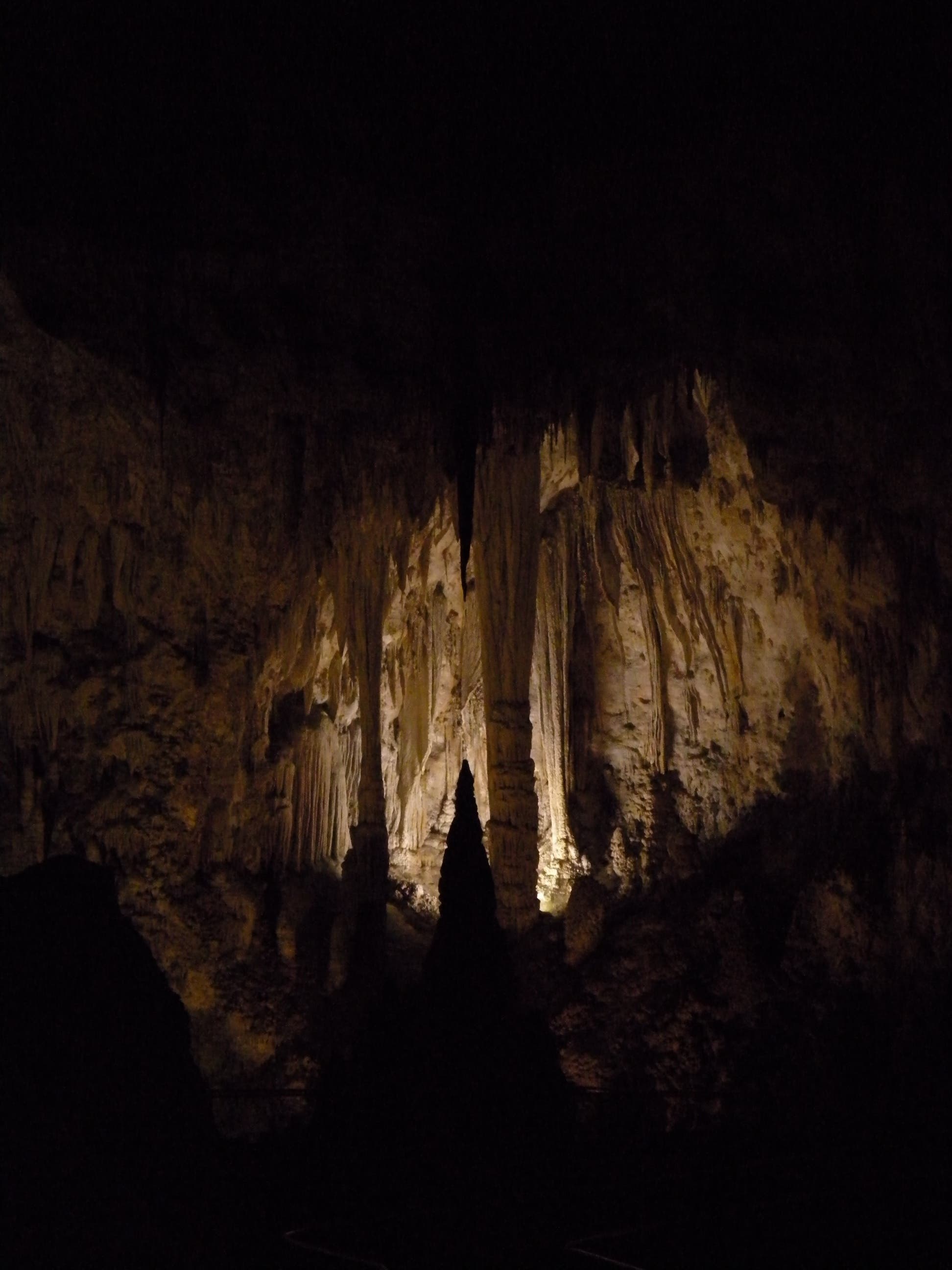
One of dozens (maybe hundreds) of the route’s notable stalagmites, this one is named Witch’s Finger.
Great Room
Location: 32.176988, -104.440984
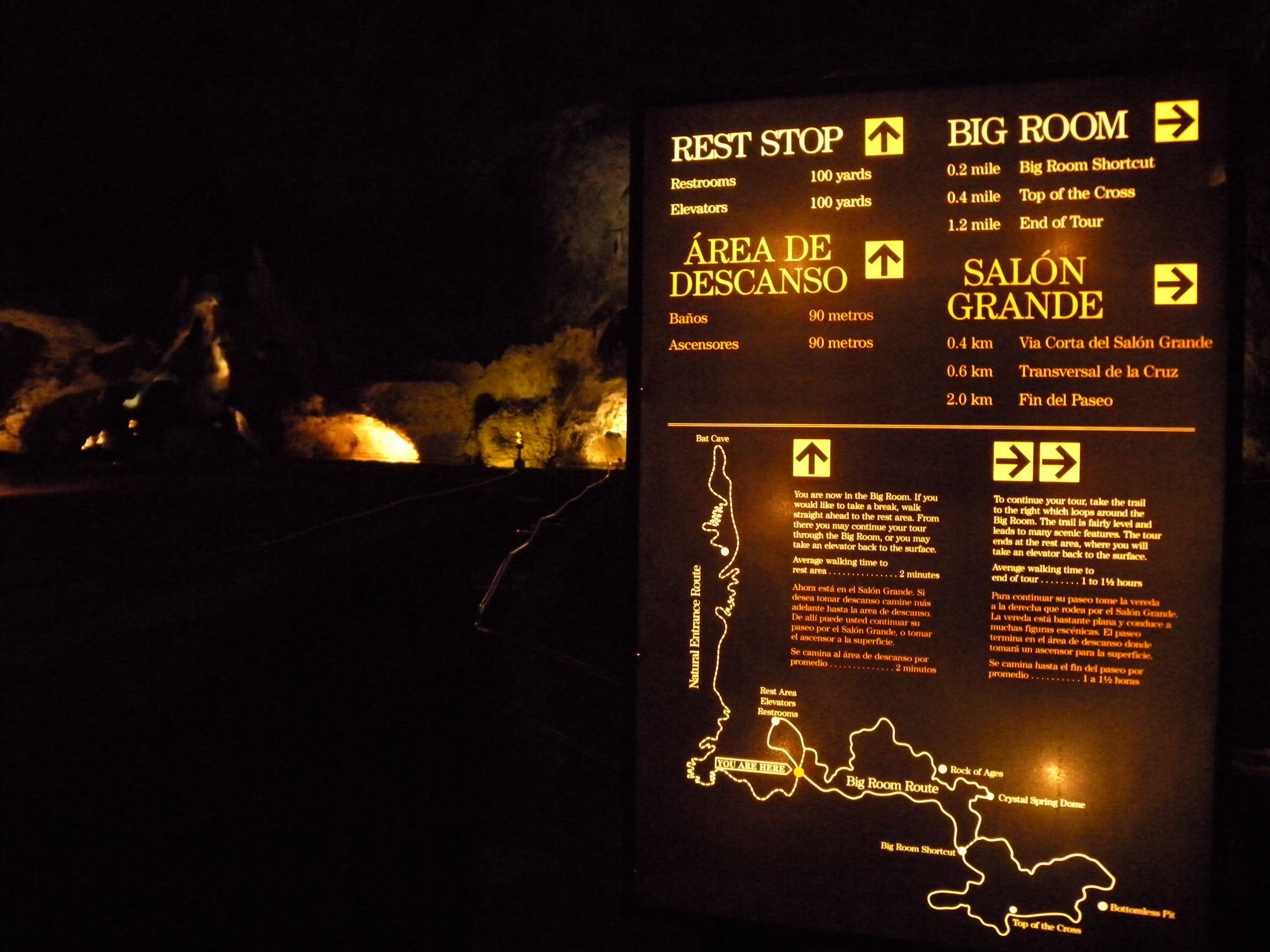
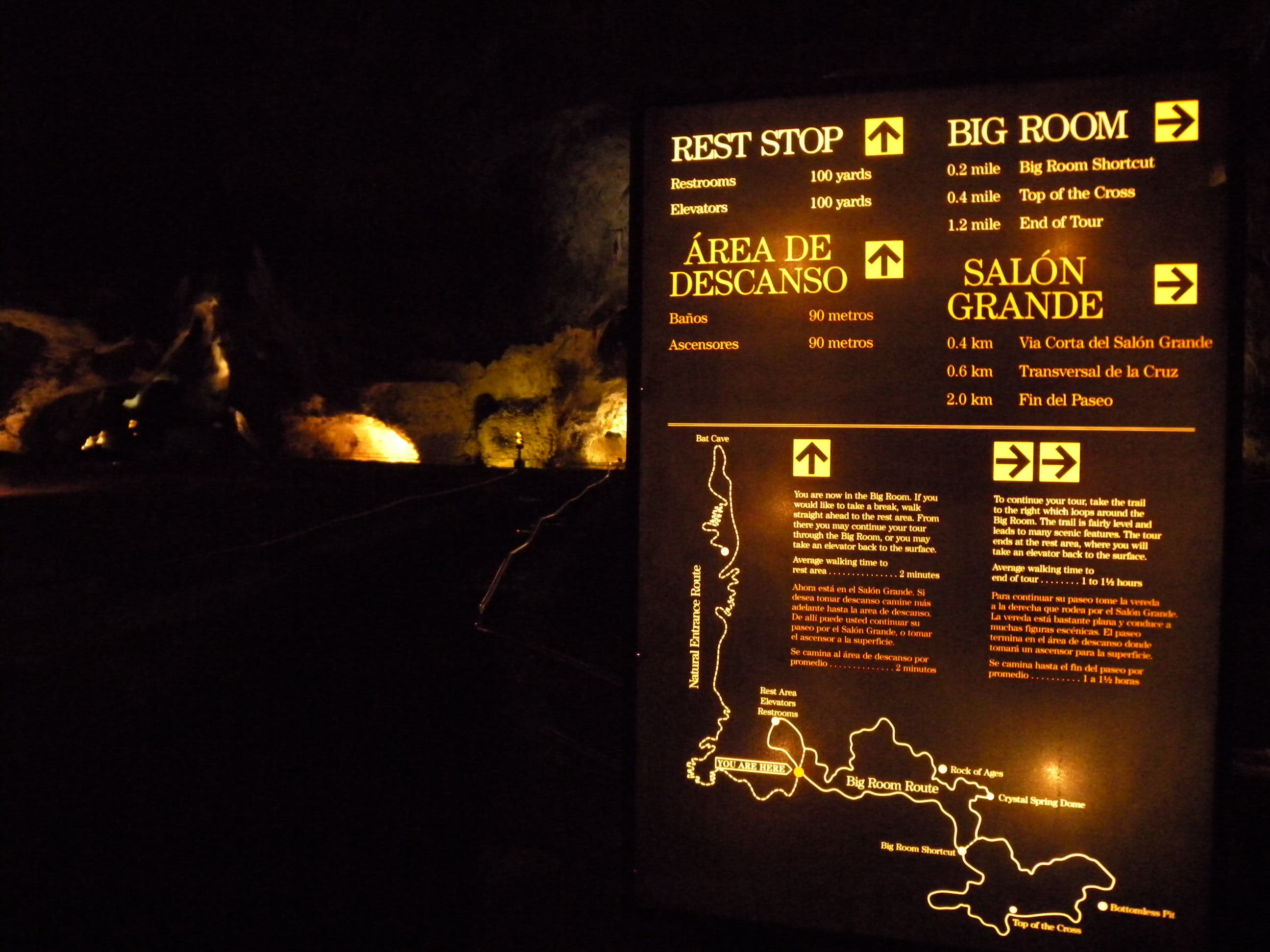
A map and directional signage greet hikers at the entrance to the great room. Turn left here to acces the restrooms, gift-shop and elevator to the surface, or continue straight to loop through the 1.2-remaining miles of the self-guided tour.
Restrooms
Location: 32.176975, -104.440978
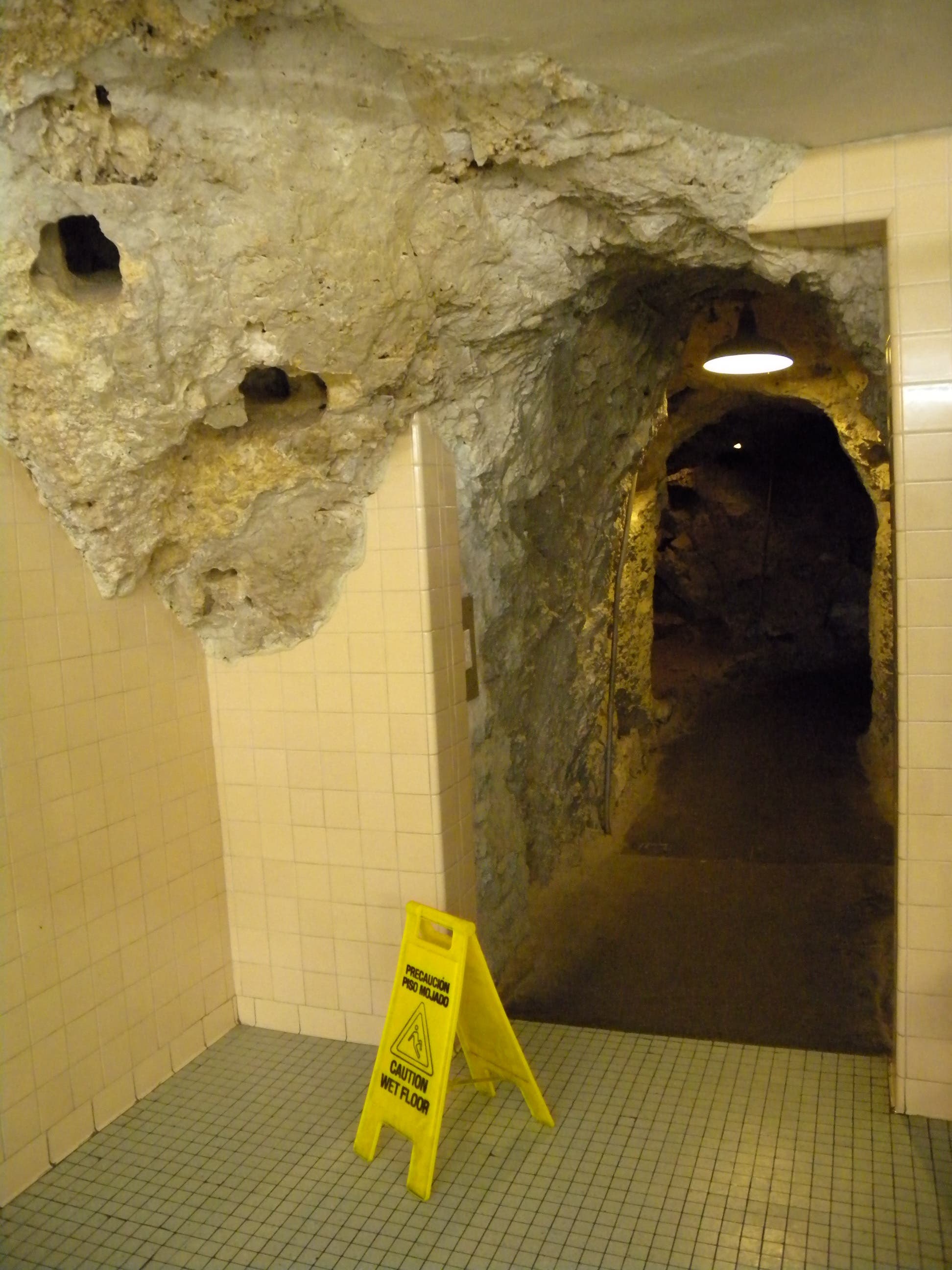
The are even bathrooms in the cave… or is it caves in the bathrooms?
Lights
Location: 32.176975, -104.440962
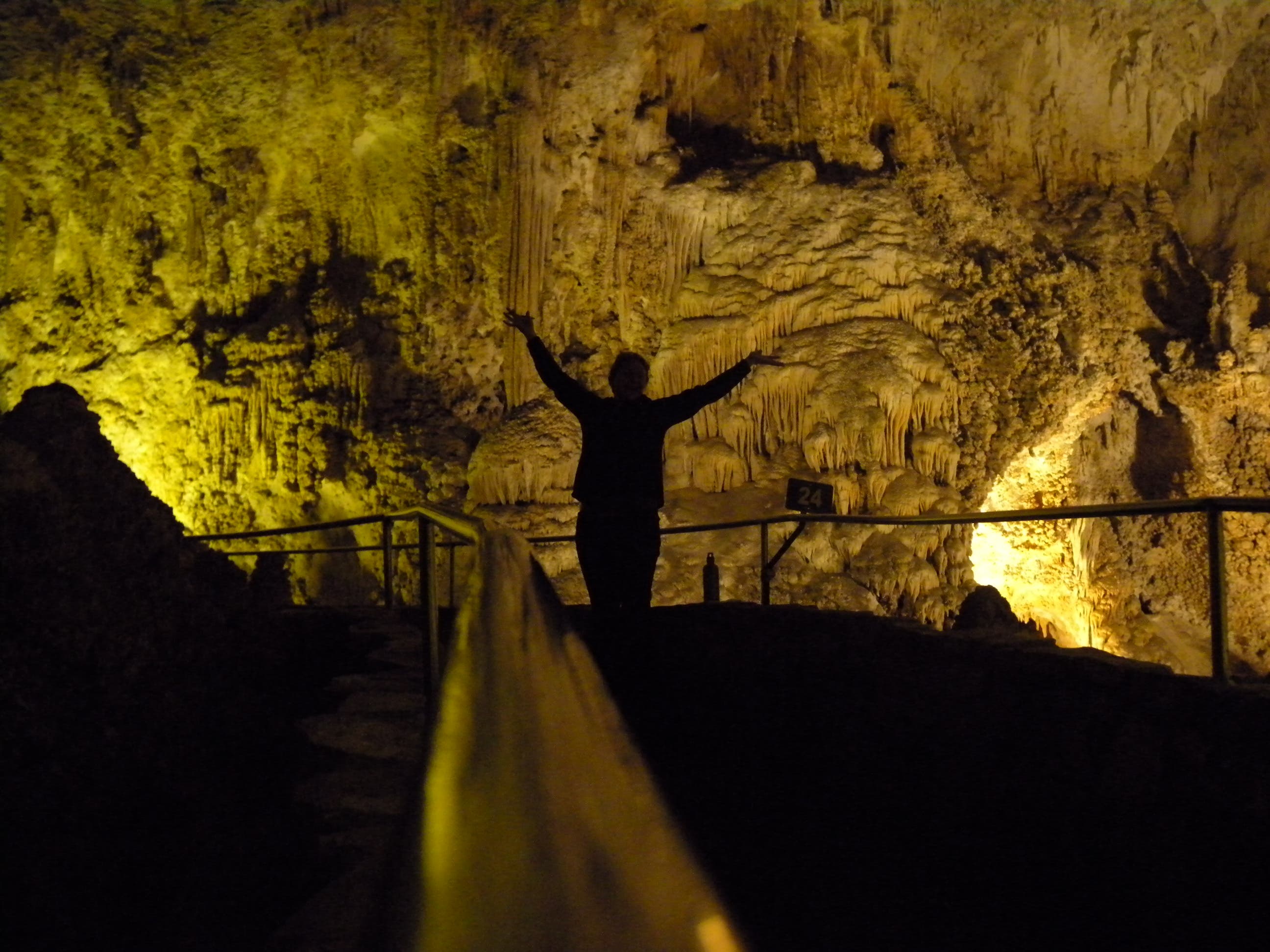
There is no natural light inside the cave, but the cave is lit by nearly 20 miles of wires. The park service has painstakingly tried to hide the lights, and they don’t use any artificial colors, all the colors come from the rocks and formations themselves.
Great Room
Location: 32.176975, -104.440957
Gypsum
Location: 32.176975, -104.440957
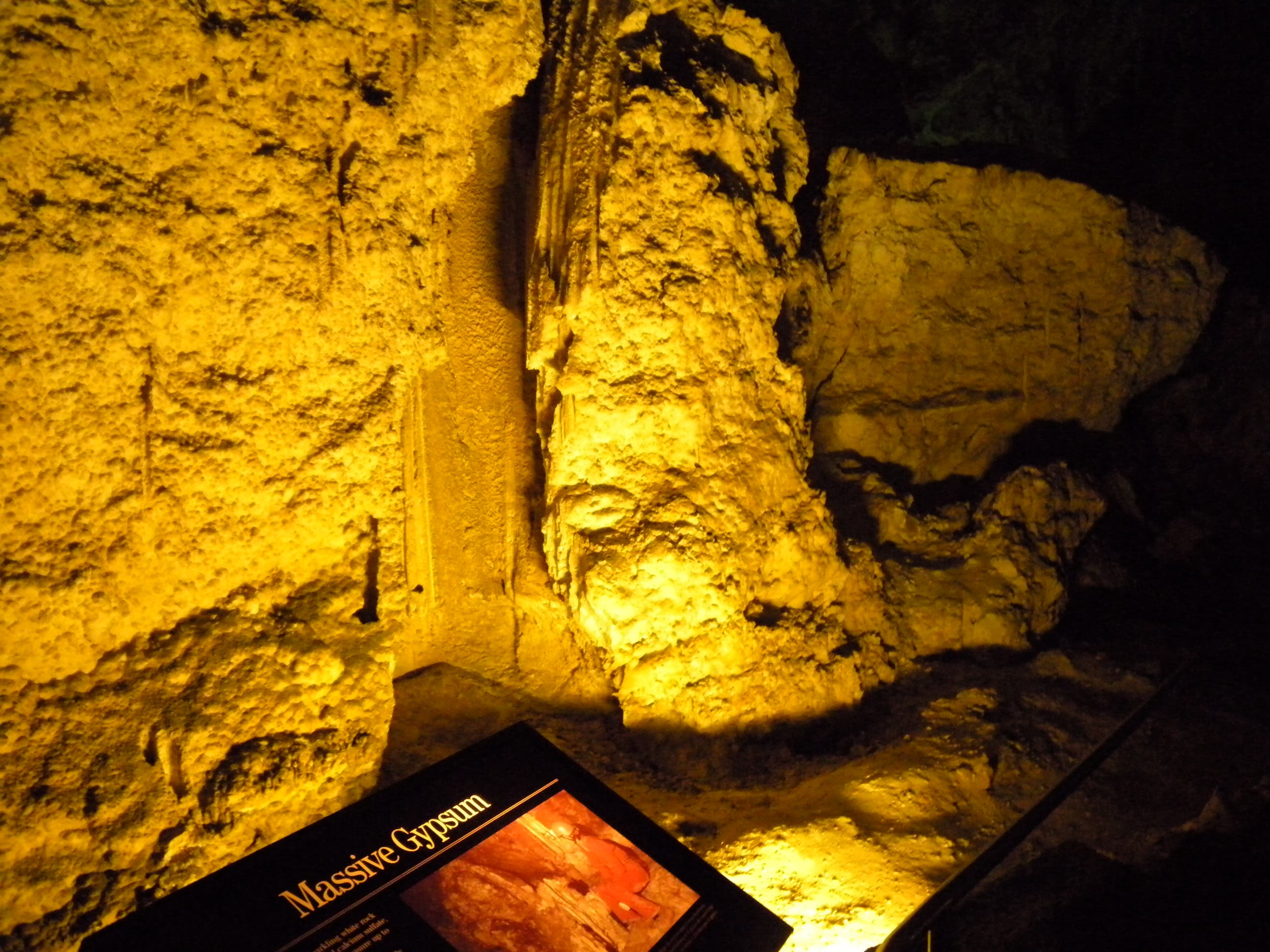
This massive formation of gypsum is streaked with water-worn channels.
Chinese Theater
Location: 32.176975, -104.440957
Toward the end of the loop, the formations get daintier and more delicate, the walls get closer and the cavern isn’t as towering as in other, earlier stretches.
Rock of Ages
Location: 32.176975, -104.440962