Carbondale, CO: Harry Gates Hut - Winter Route

The largest of the 10th Mountain Division huts, Harry Gates sleeps 16 people and is a warm, mountain-top destination for recreational backcountry skiers and snowshoers alike. There are several access options, but this nearly 7-mile route is one of the easiest. You’ll begin at a large trailhead off of Frying Pan Road and begin by following the trail northeast from the parking lot. Within the first several hundred feet the trail bears right and onto private property. Be respectful and stick to the path as it winds through open scrubland and below some powerlines before heading into the trees to round a small knoll and begin climbing toward Montgomery Flats.
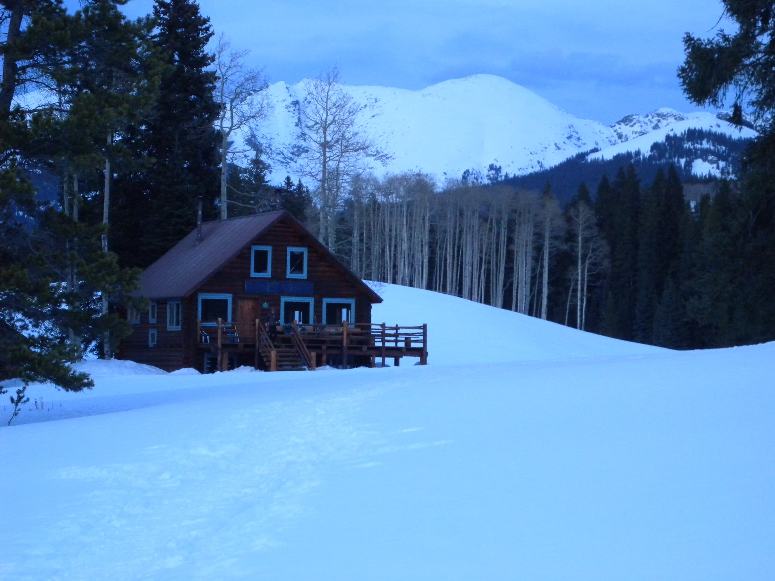
Follow the blue blazes as the trail winds into thickening trees, kissing a small saddle about half way up the first climb. The flats begin just before mile 2 and the trail winds pleasantly through ponderosa, opening up to views when the ridgeline is especially narrow. At mile 3.4, turn left onto the road which you’ll follow gently uphill for the next 1.5 miles to the route’s high point—you’ll pass beneath the same set of powerlines four times on the uphill. The last 1.8 miles descend gently (passing under the power lines again at mile 6). There’s a decrepit fence near the gully at a Lime Creek tributary that marks the final approach to the hut. Bear right through the open meadow and climb toward the hilltop. The hut itself is nestled next to a small grove of trees with Avalanche Peak in the backdrop.
Though this winter route is the easiest to the hut, expect to take several hours for the long climb—one mile per hour is a conservative estimate.
-Mapped by Kristy Holland
Trail Facts
- Distance: 21.7
Waypoints
HGH001
Location: 39.347773, -106.681452
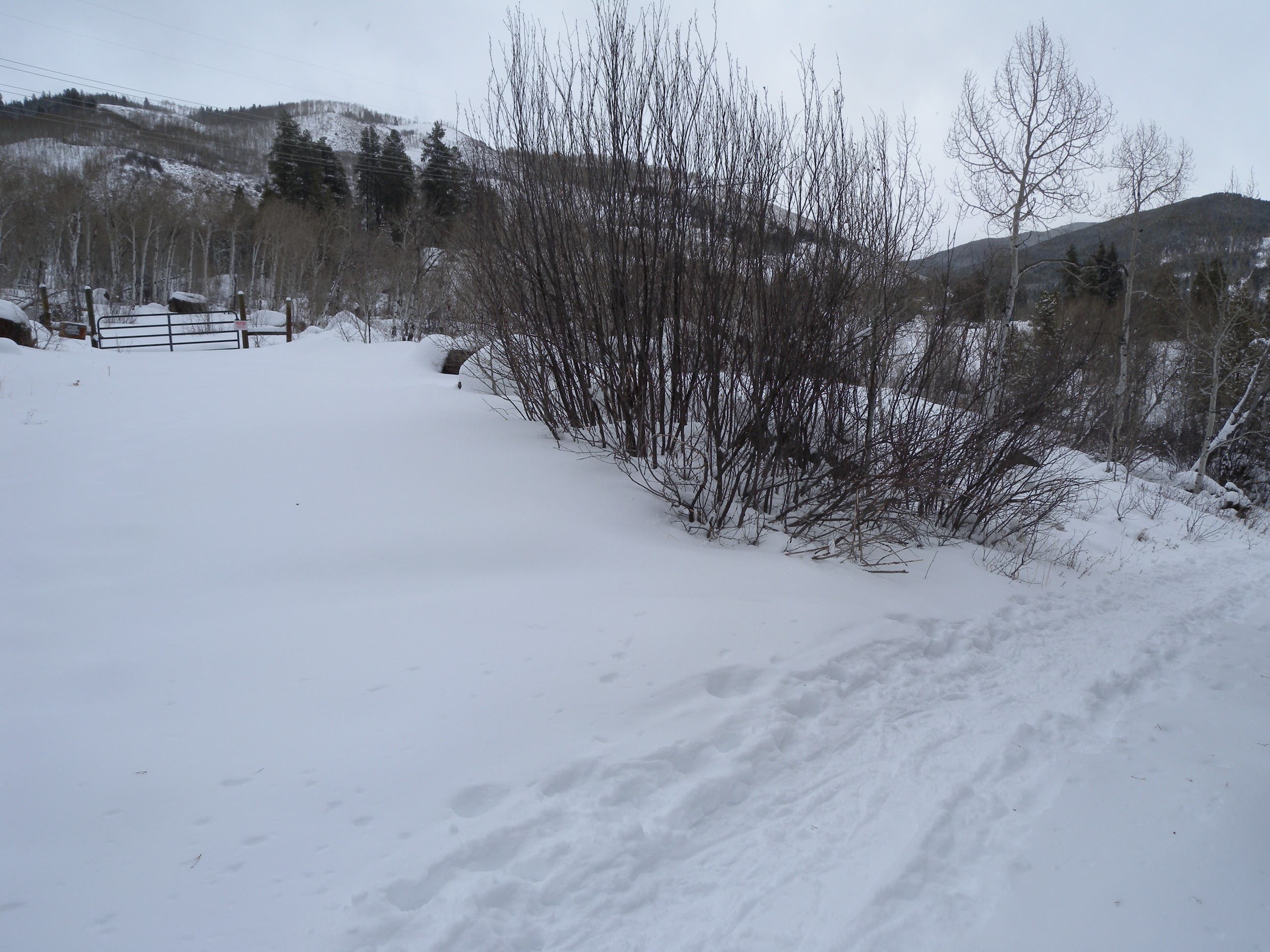
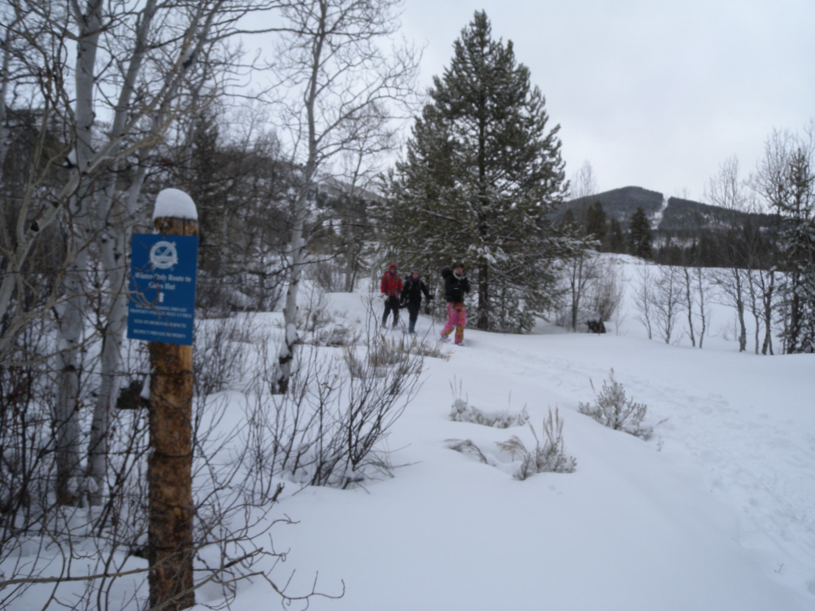
The trailhead lot is off the road about 0.3 miles north of the Diamond J Ranch. Follow the trail that heads uphill from the lot’s northeast edge, closest to its roadside access. Within a few hundred feet the trail turns right and onto private property. Look for the blue 10th Mountain Division signs and stick to the trail to be respectful of this access.
HGH002
Location: 39.347374, -106.676495
The first mile or so of trail winds gently uphill through scrubby, open private property. Stay on the trail as it crosses beneath power lines and rises behind an aspen-covered knoll. You’ll head generally east and the trail begins a more direct climb around mile 1.
HGH003
Location: 39.348278, -106.664415
Look west from this saddle and you’ll see a few scattered houses in the valley and the trail you followed down below. The trail continues uphill for another 0.4 miles before the grade mellows on Montgomery Flats.
HGH004
Location: 39.362805, -106.650596
It’s flat and pleasant atop Montgomery Flats and the trail generally traces a ridgeline that widens and narrows almost imperceptibly around you. This narrow stretch is the closest to the ridge’s edge and the thin trees allow you to look southeast toward Sellar Peak and the Continental Divide.
HGH005
Location: 39.366956, -106.645597
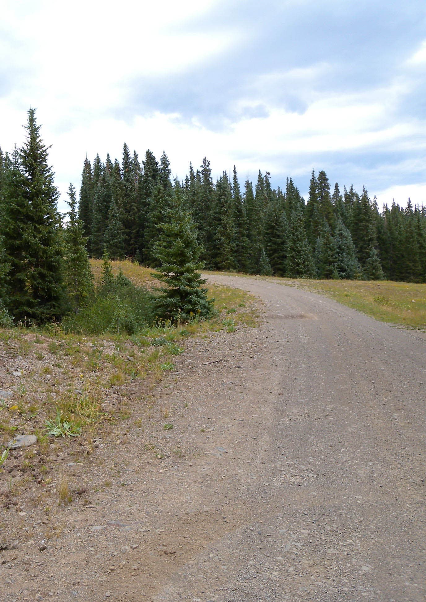
Turn left at this T-junction where the trail intersects a road. You’ll follow the road-grade as it switchbacks uphill and cruises under power lines four times as it continues climbing for the next 1.5 miles to the trail’s high point.
HGH006
Location: 39.378205, -106.650965
At mile 5.8 the trail turns downhill. You’ll continue dropping, passing beneath the power line again and winding in and out of a drainage before reaching a meadow alongside the Lime Creek tributary that marks the final turn to the hut.
HGH007
Location: 39.39647, -106.653337
There’s a small, decrepit fence with a blue blaze that marks the right turn toward the hut. The trail crosses the wide, open meadow and climbs about 100 feet before mellowing. Toward the top of the climb you’ll see the hut, but the last few hundred feet are nearly flat.
HGH008
Location: 39.400162, -106.64875
The hut, the largest of the 10th Mountain Division huts, sleeps 16 people. The downstairs has thee tables and several beds surrounding the wood stove. Upstairs has two private bedrooms and a large, common room.
Driveway
Location: 39.347889, -106.67966
Veer left before the private property gate at the 10th Mountain Division sign. You’ll pass through a couple of old fences as you traverse private property for the route’s first half mile.
Signage
Location: 39.347889, -106.679617
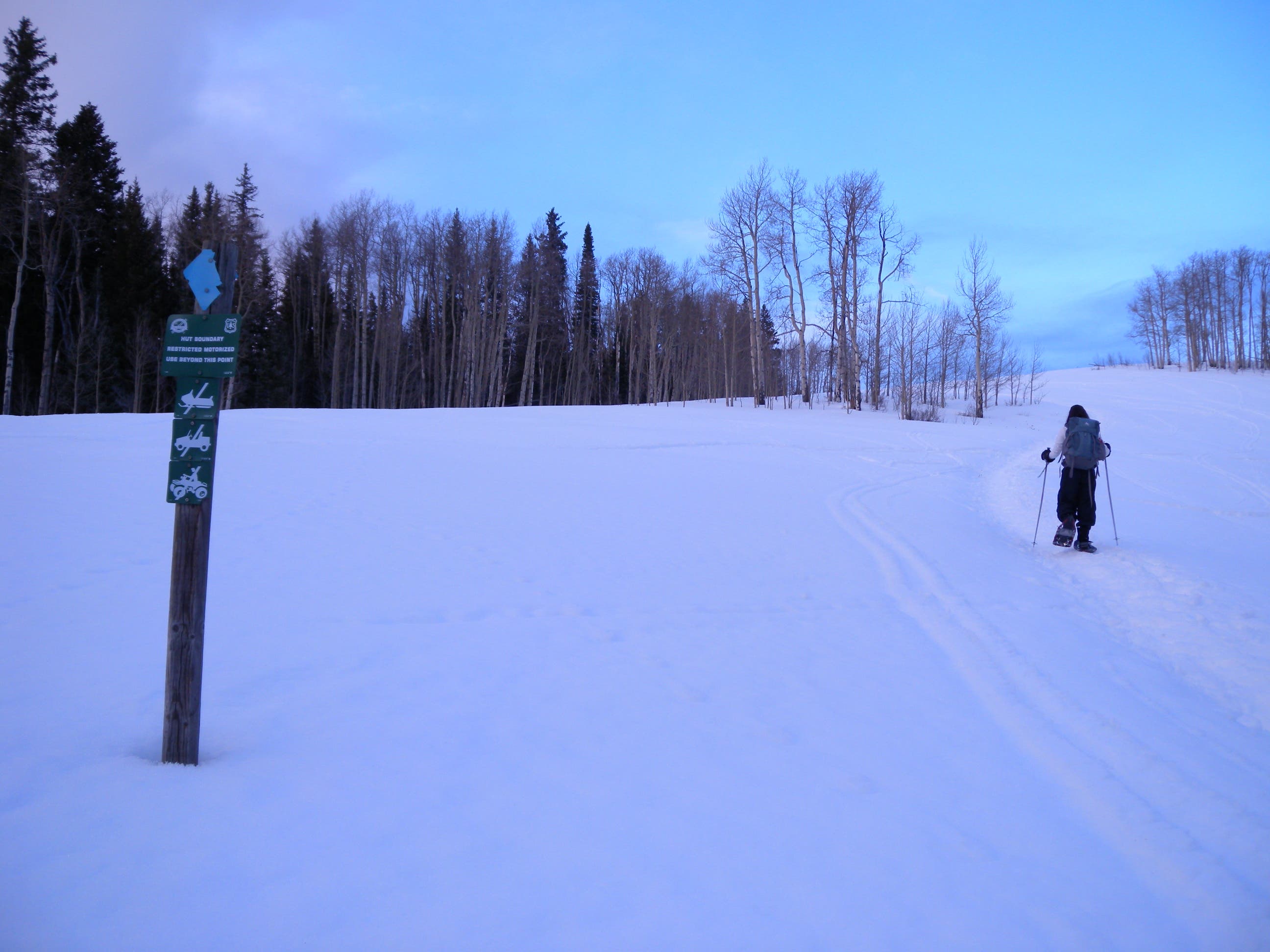
In addition to occasional 10th Mountain Division signage, the trail is marked with blue blazes.
Aspen
Location: 39.346246, -106.664929
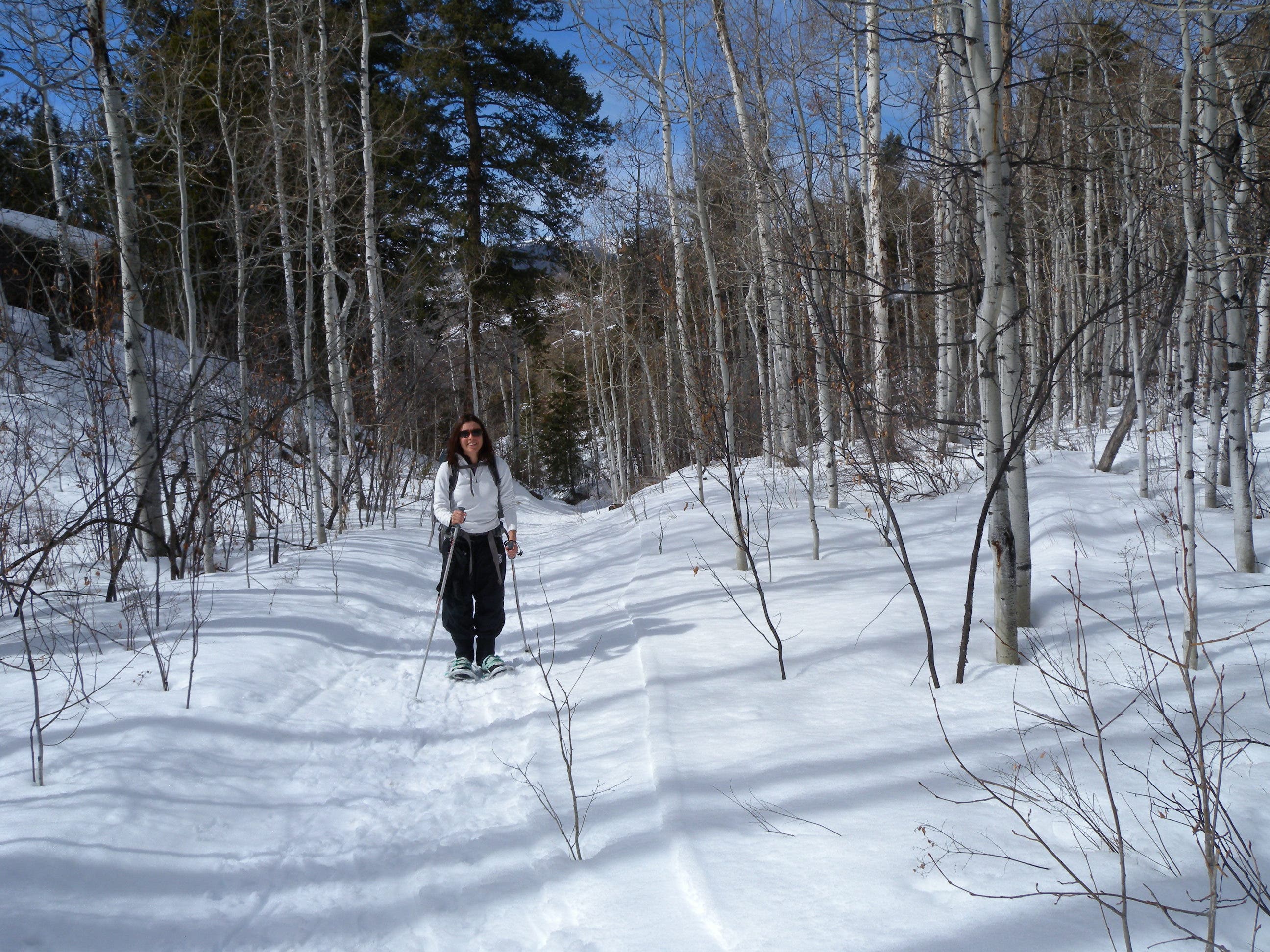
The lower reaches of the trail, as it climbs toward Montgomery Flats, are lined by aspen.
Montgomery Flats
Location: 39.361842, -106.652312
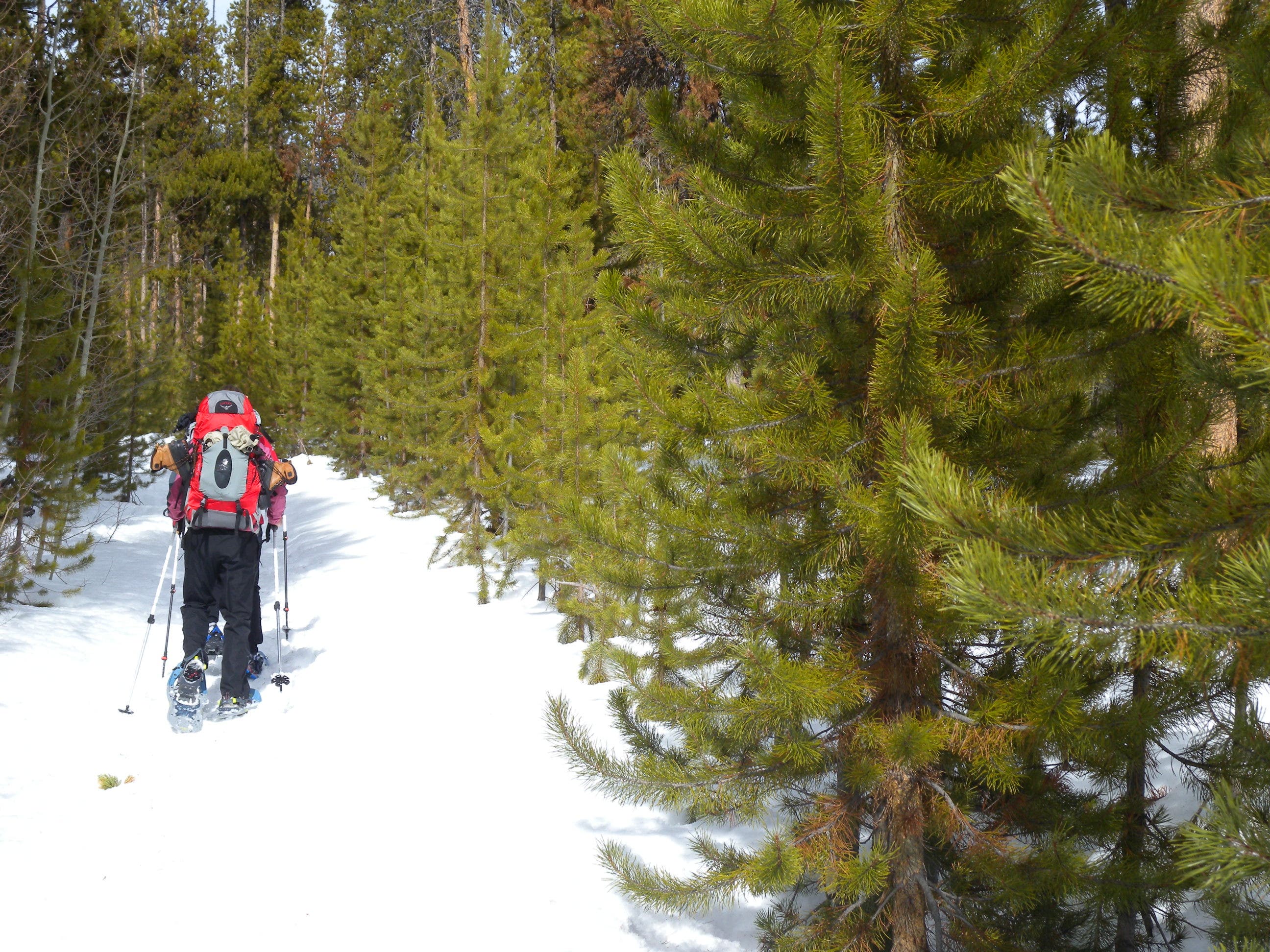
The wide, flat trail is easy to follow, even through relatively dense forests.
Road
Location: 39.36954, -106.646562
The trail follows a wide, open road for more than half its length.
Final push
Location: 39.396408, -106.653428
This short, final uphill veers northeast (right) off the road and through an open meadow toward the hut itself.
Harry Gates
Location: 39.399989, -106.648879
Nestled in a few trees with Avalanche Peak in the background, the Harry Gates hut is the 10th Mountain Division’s largest.