Capitol Reef National Park: Chimney Rock to Fremont River
Mapped by Steve Howe
Trail Facts
- Distance: 15.9
Waypoints
SCT001
Location: 38.315716, -111.304016
Follow Chimney Rock Loop Trail to the NE
SCT002
Location: 38.317551, -111.298302
Stay L @ marked Y, heading E where Chimney Rock Loop Trail diverges. Ahead, wrinkled slopes on R rise up to Mummy Cliff
SCT003
Location: 38.317368, -111.284897
L @ T, leaving Chimney Rock Loop Trail. Follow canyon’s course NE
SCT004
Location: 38.319149, -111.281754
Stay R, heading NE in rocky wash. Large side canyon on L offers good bouldering with sandy landings
SCT005
Location: 38.323051, -111.27375
Turn R (E) where another side canyon enters on L
SCT006
Location: 38.324383, -111.263481
Turn R (SE) @ signed Y with Spring Canyon and walk downstream
SCT007
Location: 38.319168, -111.25042
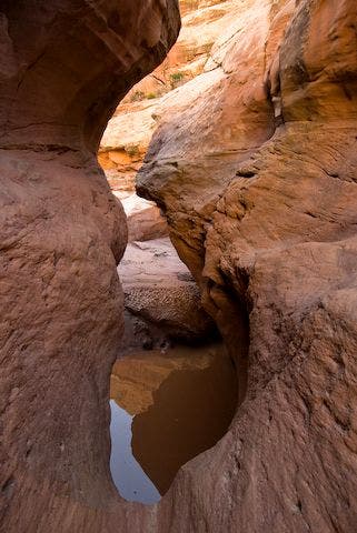
Navigate the narrows: Go L, and connect cairns on exposed footpath along slickrock bench. Note: This route bypasses two 10-ft. dry falls that require steep down-climbs and murky pool swims
SCT008
Location: 38.317184, -111.247169
Narrows end; steep bypass trail descends back to wash
SCT009
Location: 38.313282, -111.242699
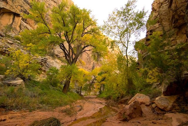
Stay L (E) where side canyon merges with Spring Canyon. In next mi., pass occasional cottonwood groves
SCT010
Location: 38.307957, -111.22683
Springs emerge from boulder pile and flow .25 mi. down canyon; water quality improves downstream (safer drinking water)
SCT011
Location: 38.298847, -111.212692
Spring Canyon snakes to the S toward the Fremont River
SCT012
Location: 38.285183, -111.197815
Ford knee-deep Fremont River (caution: river may be deeper, faster during flood conditions). In 400 ft., turn R onto UT 24
SCT013
Location: 38.283634, -111.199203
Pick up 2nd car @ unmarked turnout (E of milepost 83) for 7-mi. ride back to trailhead
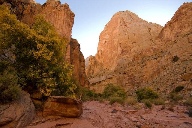
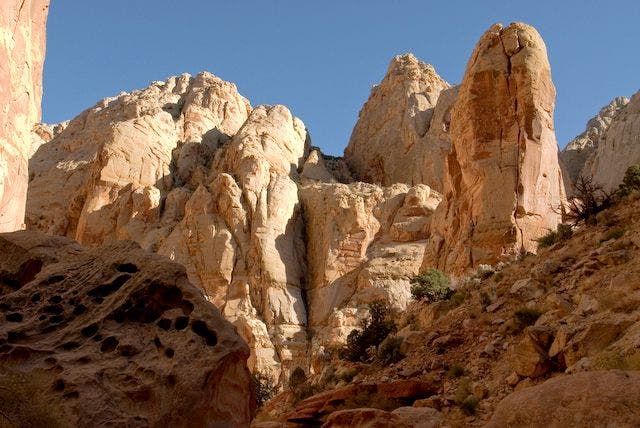
Rock Monolith
Location: 38.317497, -111.24897
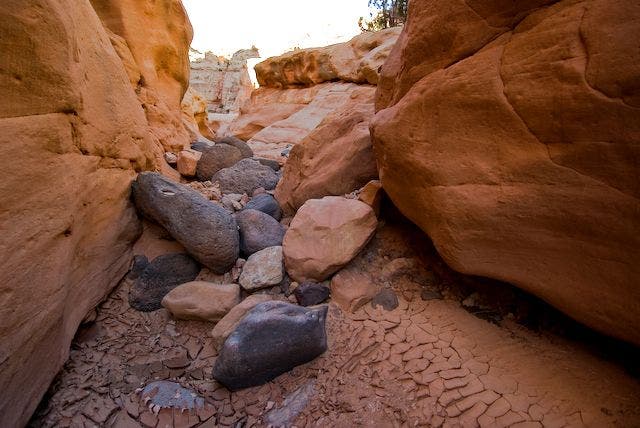
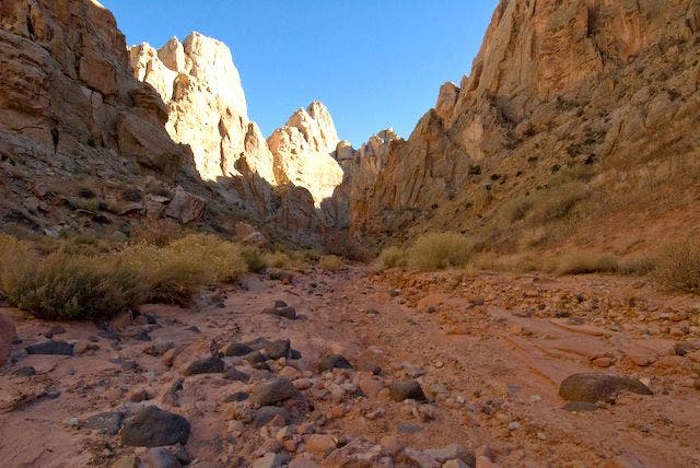
Rock-Strewn Wash
Location: 38.318871, -111.250069
The Narrows
Location: 38.318001, -111.250069
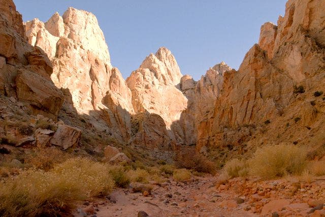
Spring Canyon
Location: 38.301453, -111.222343
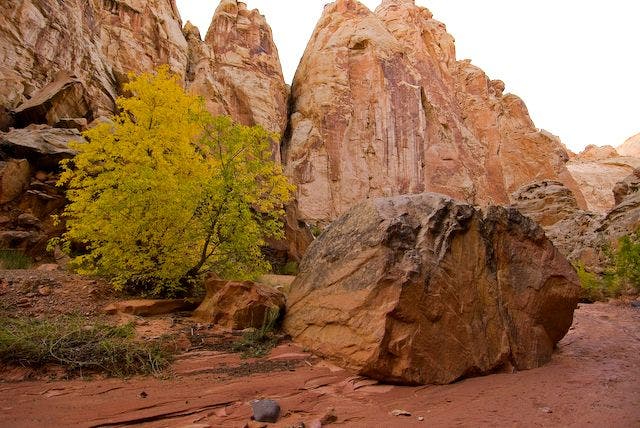
Cottonwood Grove
Location: 38.307865, -111.226006
Lone Boulder
Location: 38.306034, -111.225731
Rising Rock Formations
Location: 38.301819, -111.21804
Sandy Wash
Location: 38.298523, -111.21199
Canyon Walls
Location: 38.296692, -111.21254