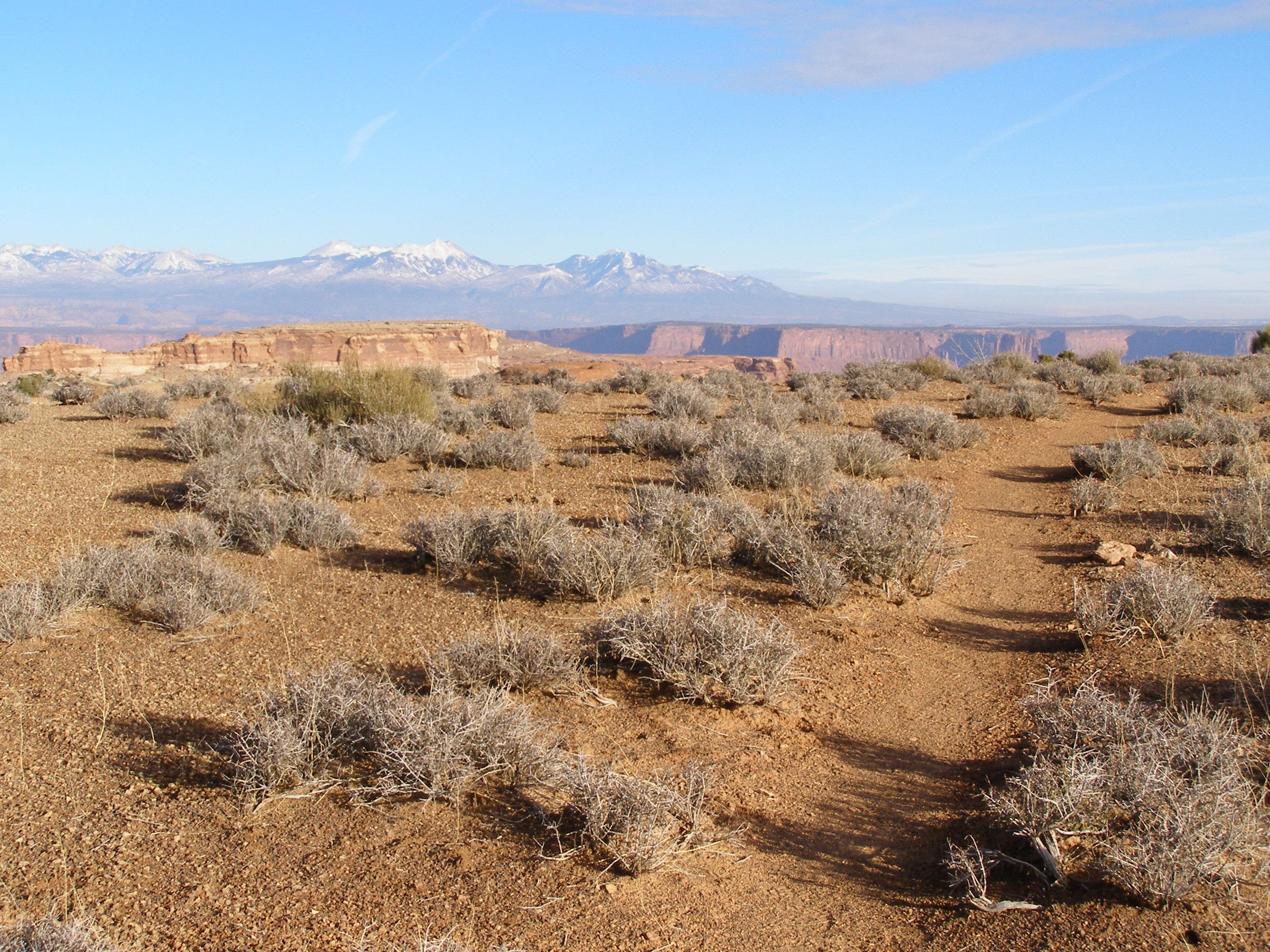
Canyonlands National Park: Lathrop Canyon

OLYMPUS DIGITAL CAMERA
From the Island in the Sky Mesa, this trail drops below sheer cliffs in the red-tinted Wingate Sandstone to a mine-flanked road and views of Lower Lathrop’s cliffs. To begin, follow the easy trail south from the trailhead across Grays Pasture.
At mile 1.6, the trail begins a three-tier descent over pot-holed and cairn-marked slickrock to a narrow bench along the top of the sheer, Wingate Sandstone cliffs. The trail stays mostly level as it winds westward along the top of the vertical cliffs, but turns steeply downhill at an ancient landslide and drops over 1,500 feet in less than a mile down a series of steep, rocky switchbacks.
The last few miles of the trail follow a long-abandoned, boulder strewn mining road—you’ll pass several closed uranium shafts—before turning right and dropping down a ridge into a sandy wash. Follow the canyon 0.6 miles east to the White Rim Road and killer views of the bench above Lower Lathrop’s snaking southern reaches.
The southern exposure makes this an excellent afternoon fitness hike or a great spot for an evening photo shoot, but allow plenty of time before sunset for the challenging uphill return.
-Mapped by Steve Howe

Trail Facts
- Distance: 17.9
Waypoints
LRC001
Location: 38.4337167, -109.8269833
Hike southeast across the grassy meadow from the signed Lathrop Canyon Trailhead.
LRC002
Location: 38.4165, -109.8141667
The descent begins at mile 1.6 and the terrain turns from grassy pasture to dome and pothole-covered slickrock.
LRC003
Location: 38.4129, -109.8095167
Continue down 2 easy switchbacks, following the cairn-marked trail.
LRC004
Location: 38.4135833, -109.8064833
As the trail turns south, it continues over a third drop-off before reaching a cliff-top ledge.
LRC005
Location: 38.4100333, -109.8066833
This photo-op-worthy overlook has excellent views into lower Lathrop Canyon and of the Colorado River, 3.3 miles to the southeast.
LRC006
Location: 38.4133333, -109.8132667
There is a log handrail to ease your descent on this steep, eroded, and rocky switchbacking traverse.
LRC007
Location: 38.4090833, -109.8116167
From a staircase to a more defined trail, the terrain flattens and the hike gets easier near mile 3.8.
LRC008
Location: 38.4093167, -109.8141
The trail joins a long-abandoned and eroded mining road for the last 1.5 miles of the descent.
LRC009
Location: 38.4085333, -109.8141333
At certain times of the year, water flows in a stream bed below the trail. Groundwater here may be contaminated by uranium-mine tailings, so bring plenty of drinking water with you on this trip.
LRC010
Location: 38.4081667, -109.8135333
Stay left and follow the main trail past vacant signs at user-created trail junctions.
LRC011
Location: 38.4011833, -109.8038667
A short drop from the ridge lands in a sandy wash. Follow the trail east toward the White Rim Jeep Trail.
LRC012
Location: 38.4017167, -109.7939833
Turn around at White Rim Jeep Trail after admiring the views of Lathrop Canyon from the overlook. The popular jeep road continues southeast to the river from here.
Mesa
Location: 38.4299251, -109.8241425
Looking southeast across the Island in the Sky Mesa © Karen Henker