Yosemite National Park: Clark Range Traverse

While the crowds jostle for elbowroom at one of Yosemite’s scenic but busy frontcountry vantage points, get acquainted with a wilder side of the park on this 4-day backpack through the rugged Clark Range. The lollipop loop climbs from the Valley floor (4,000 feet) to Yosemite’s highest trailed pass (Red Peak Pass, 11,180 feet), winding through a myriad of emerald lakes, high-country meadows, tumbling cascades, lodgepole forests and toothy metamorphic crags along the way.
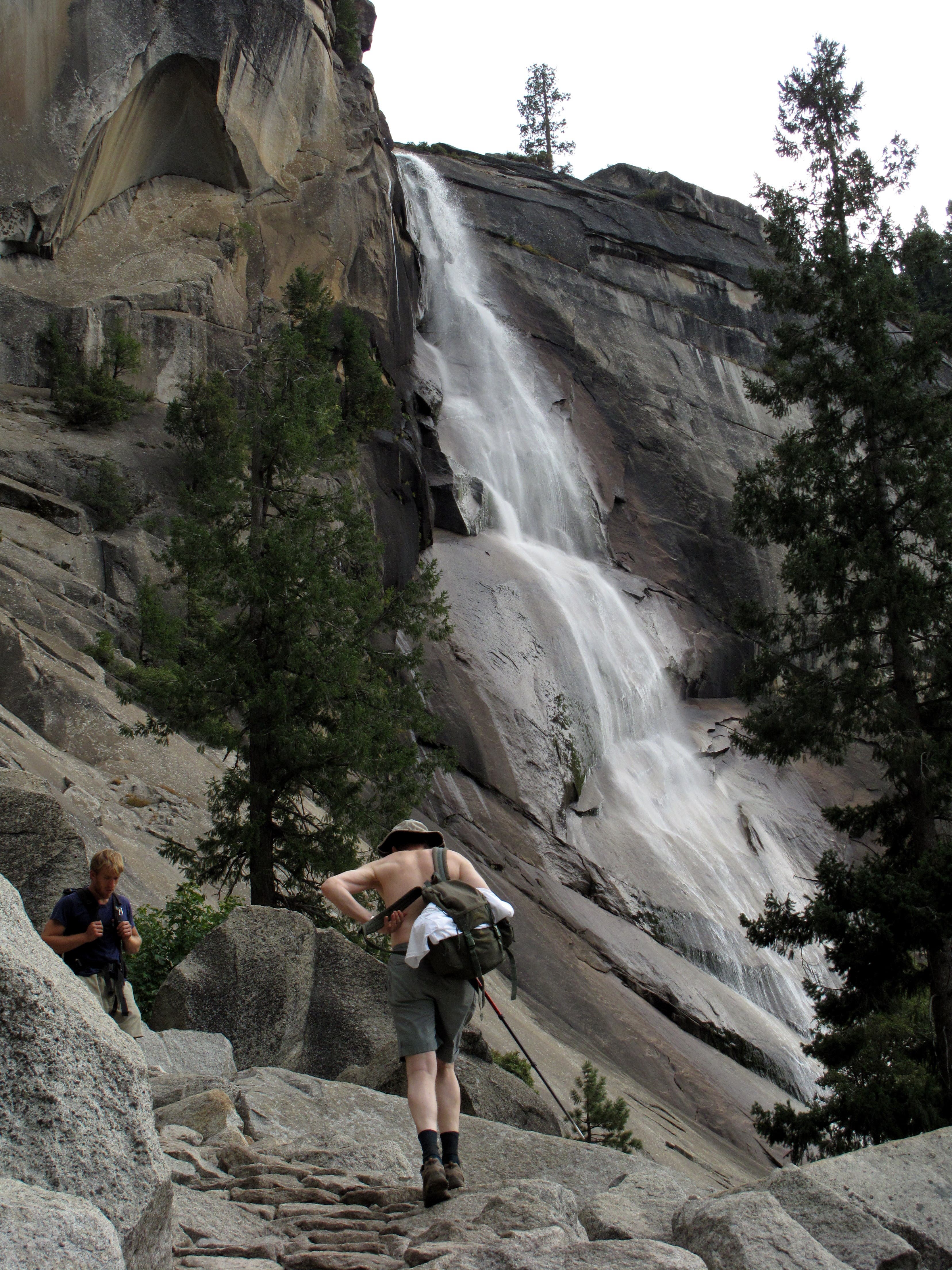
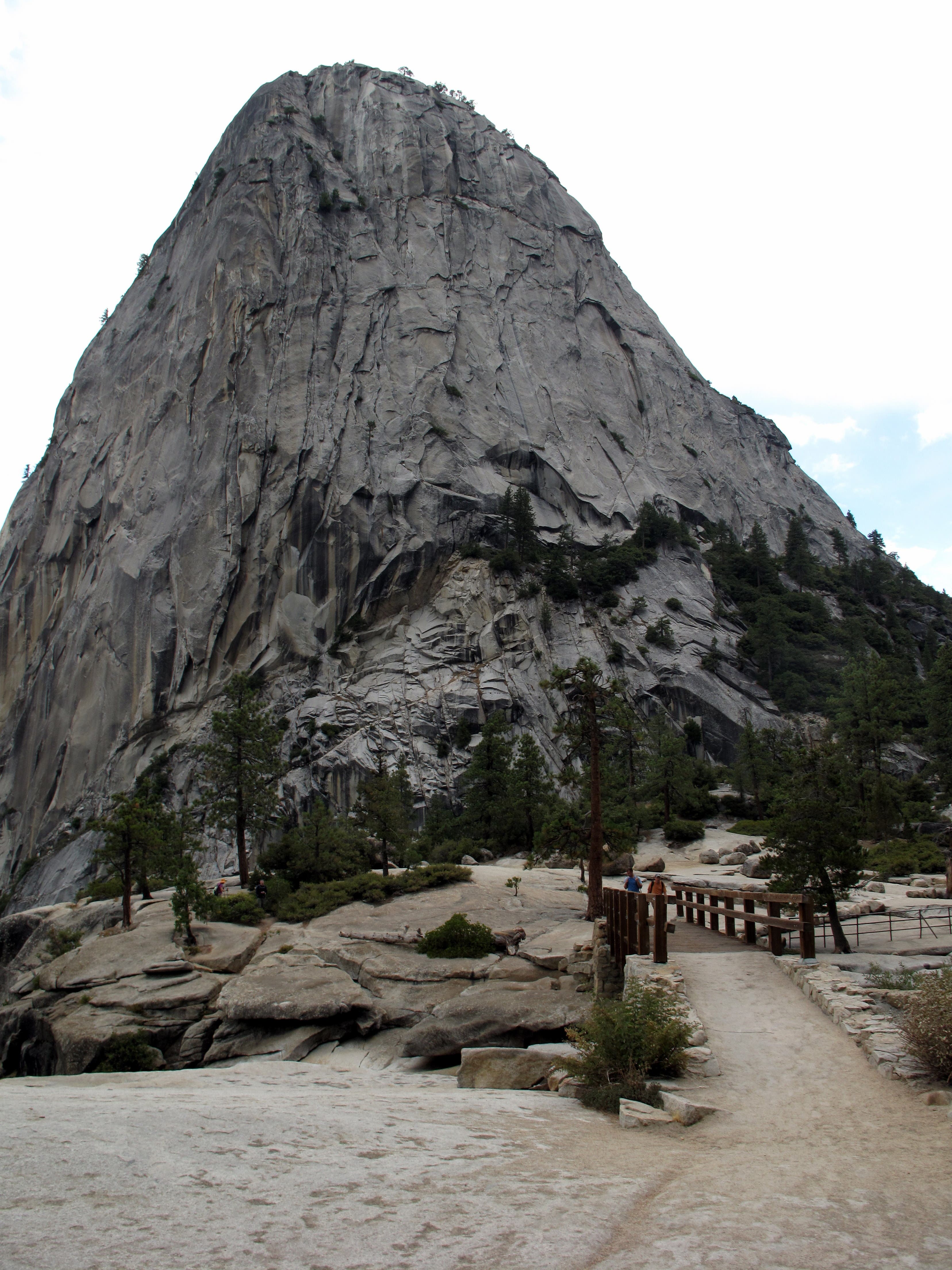
Day One From the southern edge of Stoneman Meadow, follow the Mist Trail along the Merced River to Vernal and Nevada Fall, the latter which is flanked by the polished, bell-shaped Liberty Cap. The climb to the top of the falls, which plunge over bare granite cliffs from Little Yosemite Valley, spans 3.1 steep, tourist-heavy miles before depositing you at the Merced River. The crowds thin out as you climb, at an easier grade, through a burn area, past the unmistakable Mount Starr King, and over the Clark Fork. The trail bends to the southeast while tracing the babbling Illilouette Creek through a mix of shady forest and sun-drenched, grassy meadow. At mile 15.2, trek off-trail to reach the pristine Upper Merced Pass Lake, where you’ll make camp for the night. To shorten the day, nab a spot near the Clark Fork (mile 9.1) or next to the Illilouette Creek (mile 12).
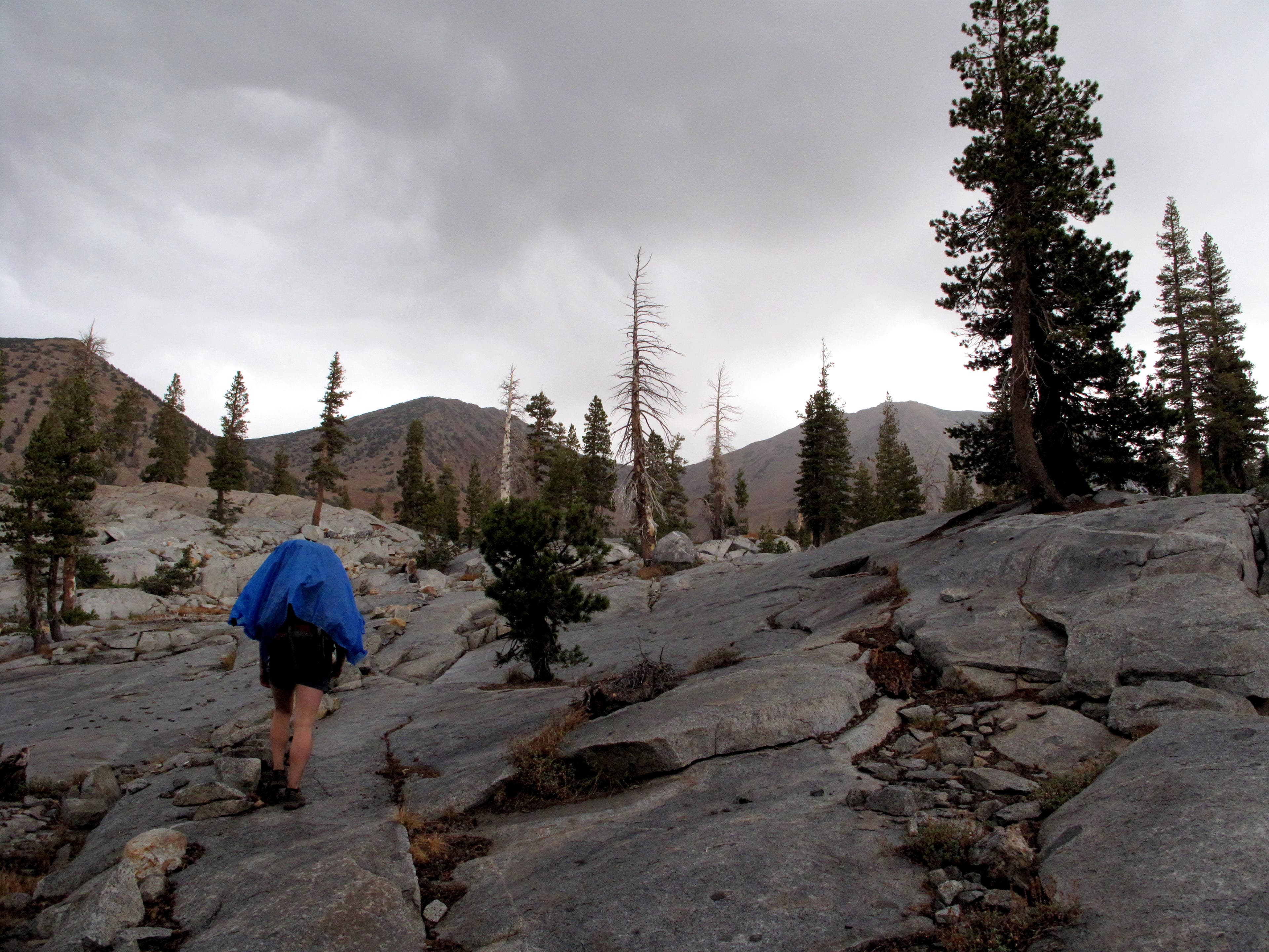
Day Two Wake up early for the steep, exposed ascent to the craggy Red Peak Pass. Begin by weaving through hardy Jeffrey Pines, clusters of lodgepole pines and monstrous boulder chunks. The trees thin out as you gain a brief respite near the granite-edged Lower Ottoway Lake, nestled under the towering south face of Red Peak (11,699 feet). Gear up for the toughest part of the climb, which carries you over a series of steep switchbacks to the crest of Red Peak Pass. Notch spectacular overhead vistas of Yosemite’s high country before descending to the pool-dotted, pine-clustered slickrock tundra below. As the trail crosses through a shelf perched above Red Devil Lake near mile 21, look for campsites alongside small emerald lakes. The exposed sites don’t provide much shelter, but open up to immaculate, star-studded panoramas at night.
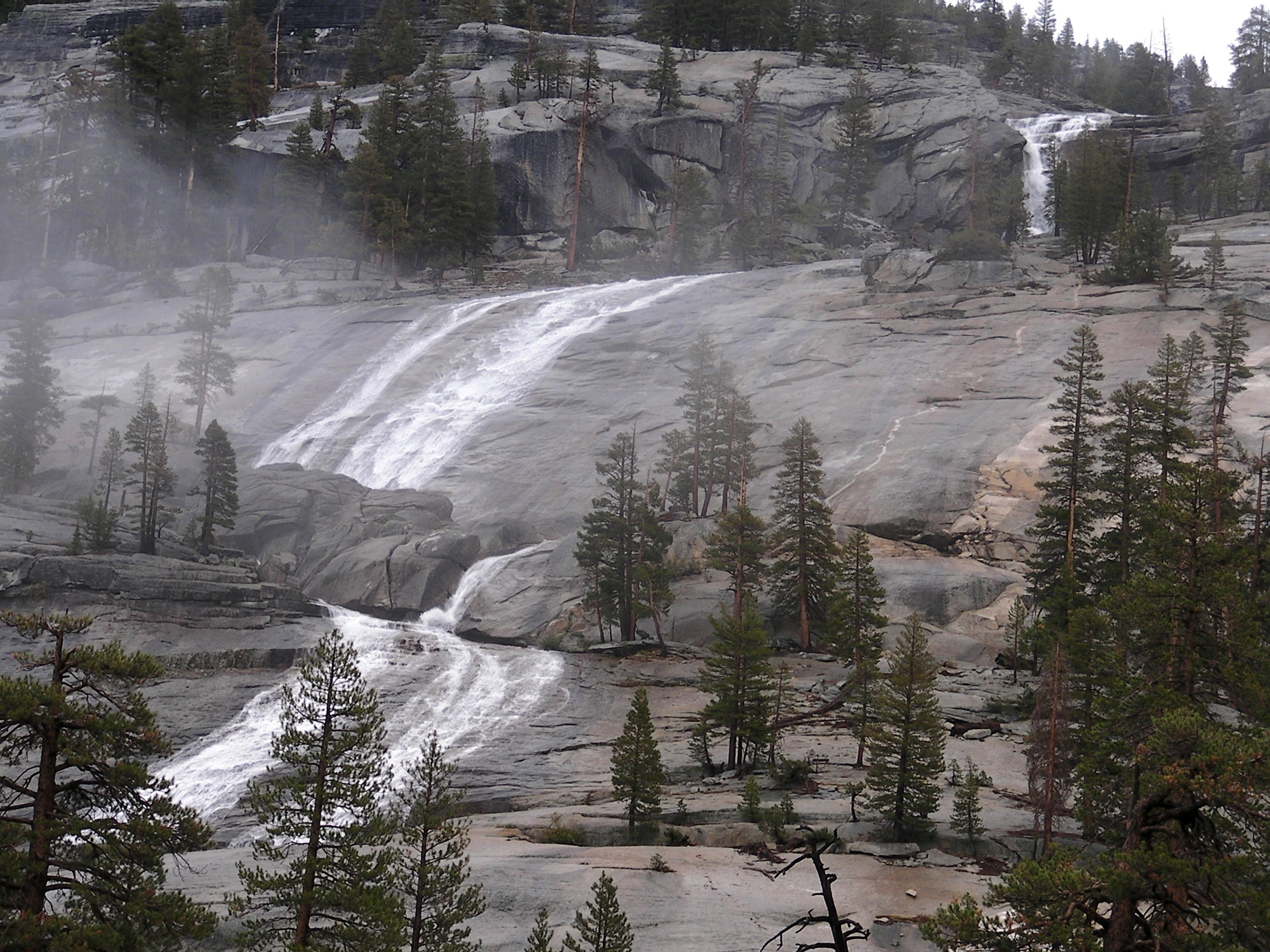
Day Three Break camp and negotiate a quick but steep descent before reaching a trail junction below Edna Lake. The right fork follows the main trail for a smoother, longer route (6.1 miles), while the left fork traces a rough social trail along swimming-hole-pocketed Merced Peak Fork (3.8 miles). At the convergence of the trails, the Triple Peak Fork dramatically pours down a 600-foot slickrock waterslide into the churning Middle Peak Fork below. From the confluence, follow the Merced River past the narrow, cliff-edged Washburn Lake en route to shoreline campsites at Merced Lake.
Day Four From the tight western mouth of Merced Lake, follow the tumbling Merced River down a series of cascades and into the open Echo Valley. Weave back into a tight valley before rounding Bunnell Point (8,193 feet) toward the slick-bottomed Bunnell Cascade. Trek through the narrow Lost Valley before emerging into Little Yosemite Valley under the shadow of Moraine Dome. Pass a trail junction for Half Dome (which you’ll need a day permit to access) before returning to the top of Nevada Fall. For a longer, more gradual descent to the trailhead, use the John Muir Trail.
PLAN IT
GUIDEBOOK AND MAP The Complete Guidebook to Yosemite National Park, 6th Edition ($12.95, yosemitegifts.com). Consult the time-tested authority on Yosemite, or plan other trips in the park using BACKPACKER’s Destination’s page (backpacker.com/destinations/category/206). Get around the park using Yosemite’s free shuttle service (nps.gov/yose/planyourvisit/upload/valleyshuttle.pdf).
FEES/PERMITS To enter park: $20 per car, $10 per pedestrian/ bicyclist. Pass is valid for seven days. Backcountry permits are required for all overnight stays from May through October. Reservations for a permit can be obtained no earlier than 24 weeks before the first night of your stay. Permits cost $5 per reservation and $5 per person in the party. Depending on availability, permits can also be obtained at the wilderness center on the day of your trip.
CONTACT Call the Wilderness Permit Office at (209) 372-0740; nps.gov/yose/planyourvisit/wildpermits.htm
CONDITIONS Tioga Pass Road (Highway 120) is closed between October and May. Water is available along the trail at mile 2.8, mile 3.8, mile 5.4 (seasonal), mile 7.9, mile 11.7, mile 13, and mile 14.4.
GPS DATA Download tracks and waypoints, print or order custom topos, from the menu on the left.
-Text: Brian Beer. Map and photographs: Jeff Chow

Trail Facts
- Distance: 83.9
Waypoints
CLK001
Location: 37.7349, -119.566108
Overnight parking is available in the lot off Happy Isle Loop Road (shuttle stop #15). To access the Mist Trailhead, walk down the road for 0.5 mile or wait for a free shuttle.
CLK002
Location: 37.732317, -119.559633
From the Happy Isles bus stop (#16), follow the crowds across the Merced River and up the thigh-burning Mist Trail.
CLK003
Location: 37.728791, -119.558566
Pass a spring on the left of the trail before rounding Sierra Point.
CLK004
Location: 37.726067, -119.548533
After crossing the Vernal Fall Bridge, bear left to stay on the Mist Trail. The John Muir Trail (JTM), forks to the right and provides a more direct, less scenic route to the top of Vernal Fall. Bathrooms are available here.
CLK006
Location: 37.726041, -119.530413
At the Y-junction, bear right to pick up the JMT for a brief stretch.
CLK005
Location: 37.726233, -119.54145
Veer left to stay on the Mist Trail. The JMT forks to the right.
CLK007
Location: 37.724617, -119.533067
Trek above the top of Nevada Fall (594 feet) as you head south on the JMT.
CLK008
Location: 37.722401, -119.535005
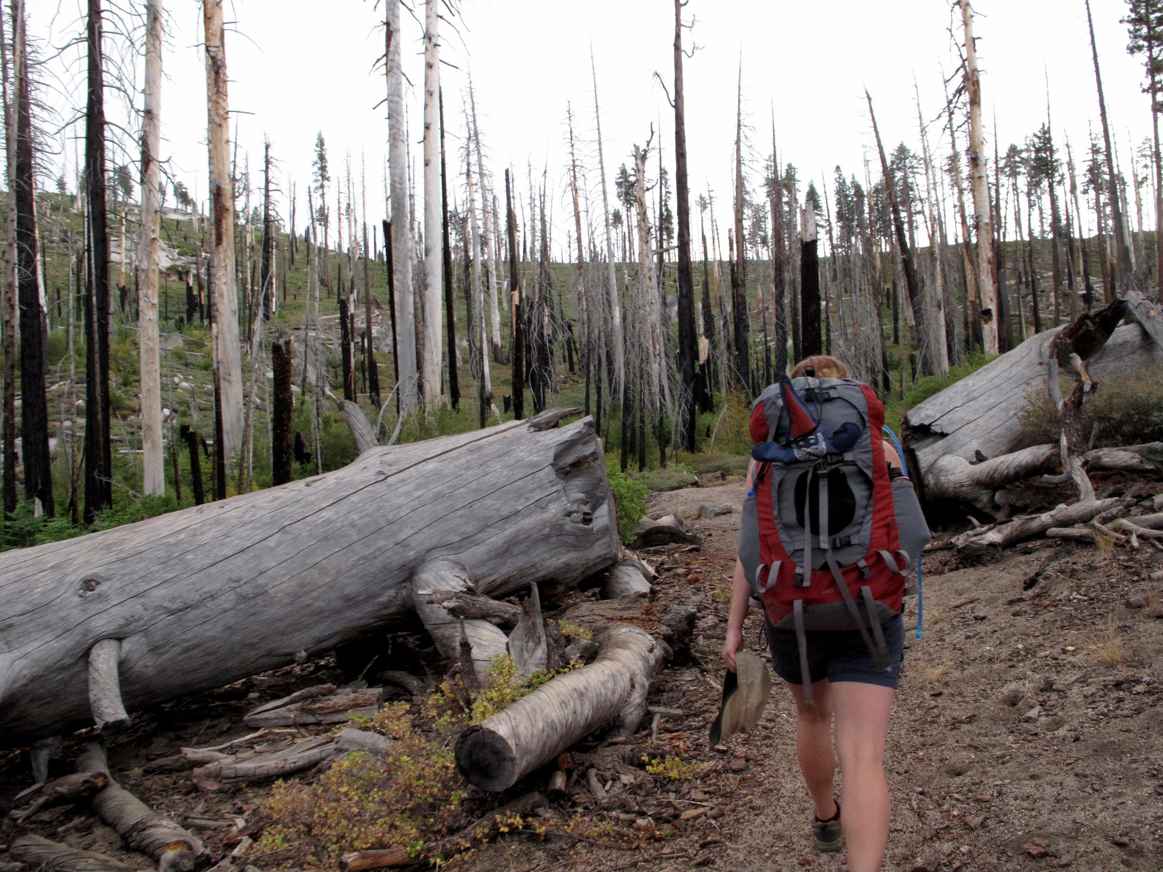
Turn left off the JMT and begin a steep, switchbacked climb through fire-torched forest on the Panorama Trail.
CLK009
Location: 37.719833, -119.539767
At the Y-junction, bear left as the Panorama Trail forks right.
CLK010
Location: 37.715667, -119.544883
Round a small ridge and then veer left at the Y-junction.
CLK011
Location: 37.70455, -119.543433
After rounding a small ridge, duck into a tiny grove of trees and reach this small stream.
CLK012
Location: 37.7011, -119.541483
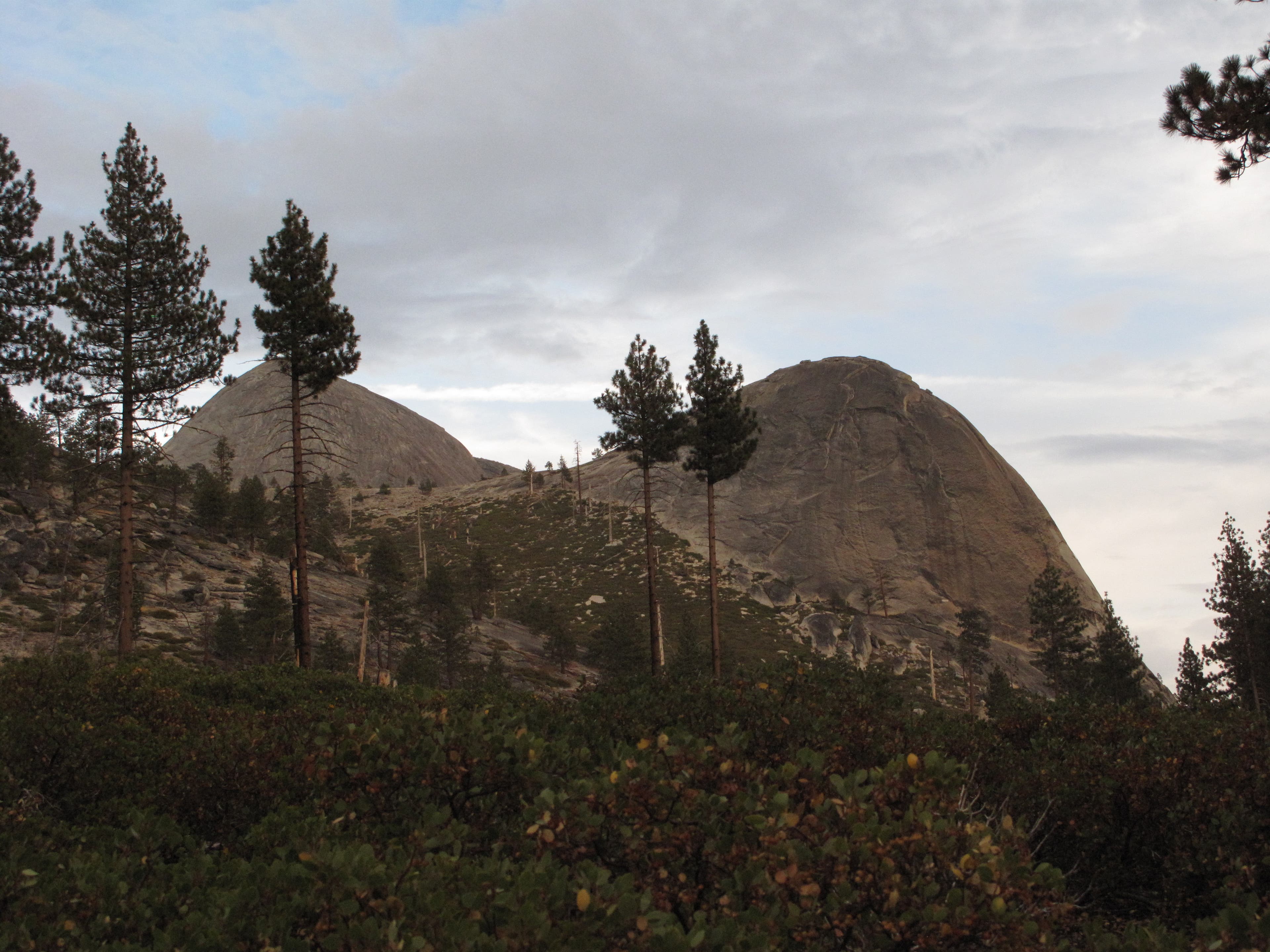
Begin a mild descent under the shadow of Mount Starr King, which looms to the east of the trail.
CLK013
Location: 37.691217, -119.530017
Cross a small stream. Water is available here.
CLK014
Location: 37.68445, -119.520983
Take the left fork at the Y-junction. The right fork leads to Mono Meadow.
CLK015
Location: 37.682326, -119.512646
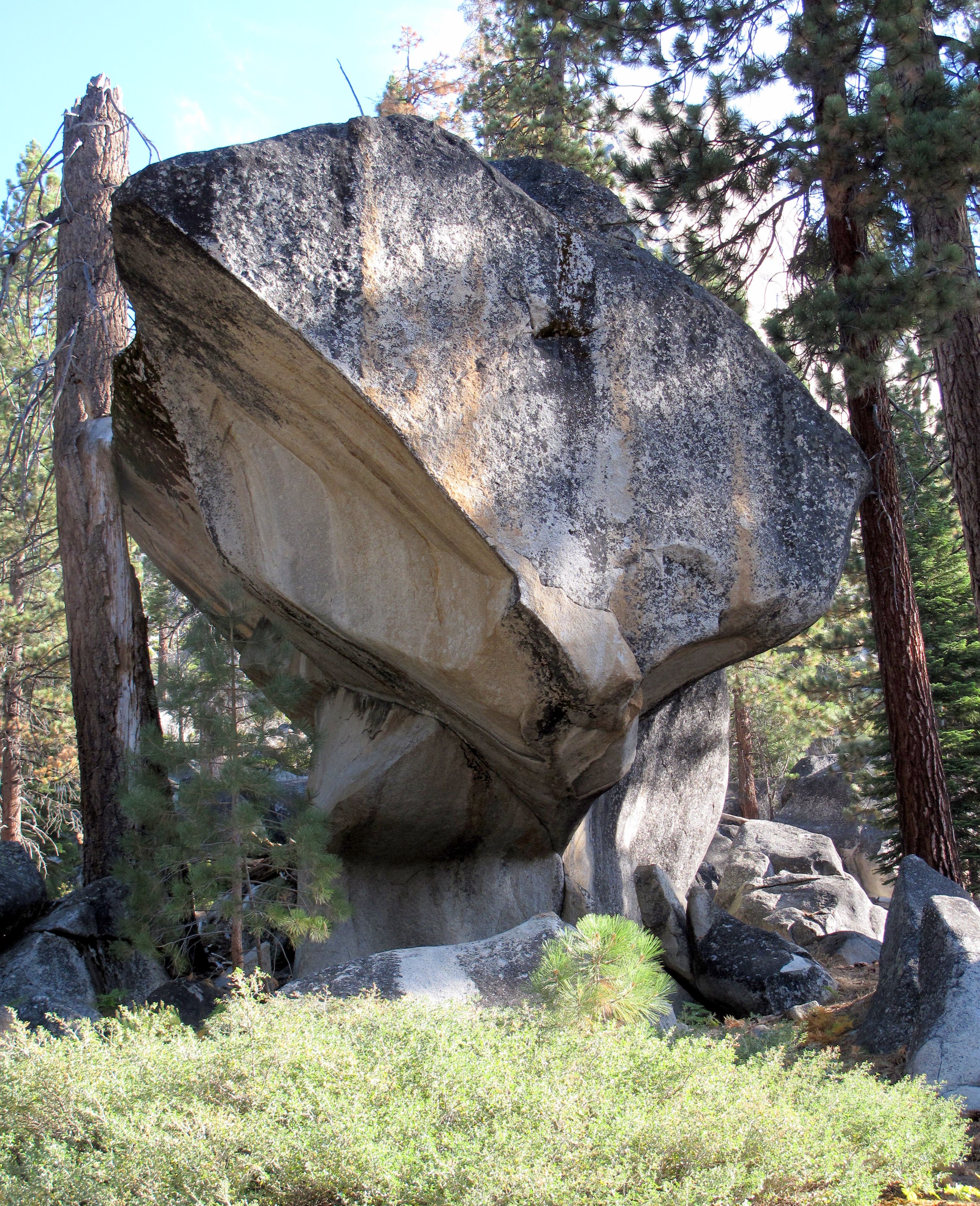
Test your bouldering skills on this mushroom-shaped rock off the side of the trail.
CLK016
Location: 37.680033, -119.502533
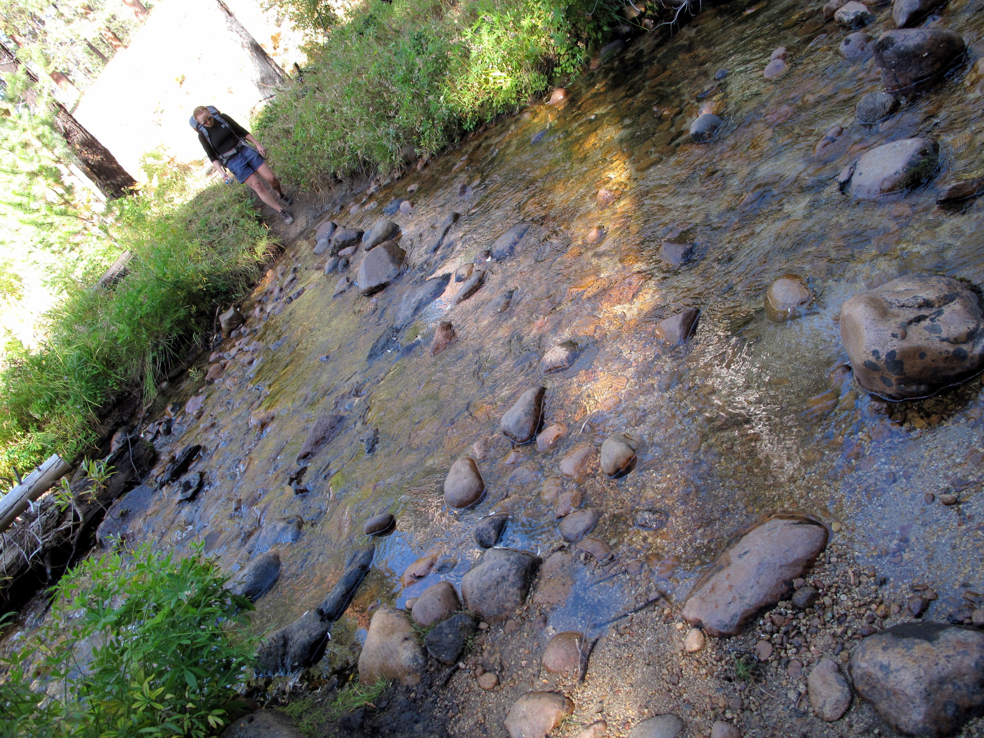
Cross the Clark Fork. An established campsite sits nearby.
CLK017
Location: 37.67675, -119.498367
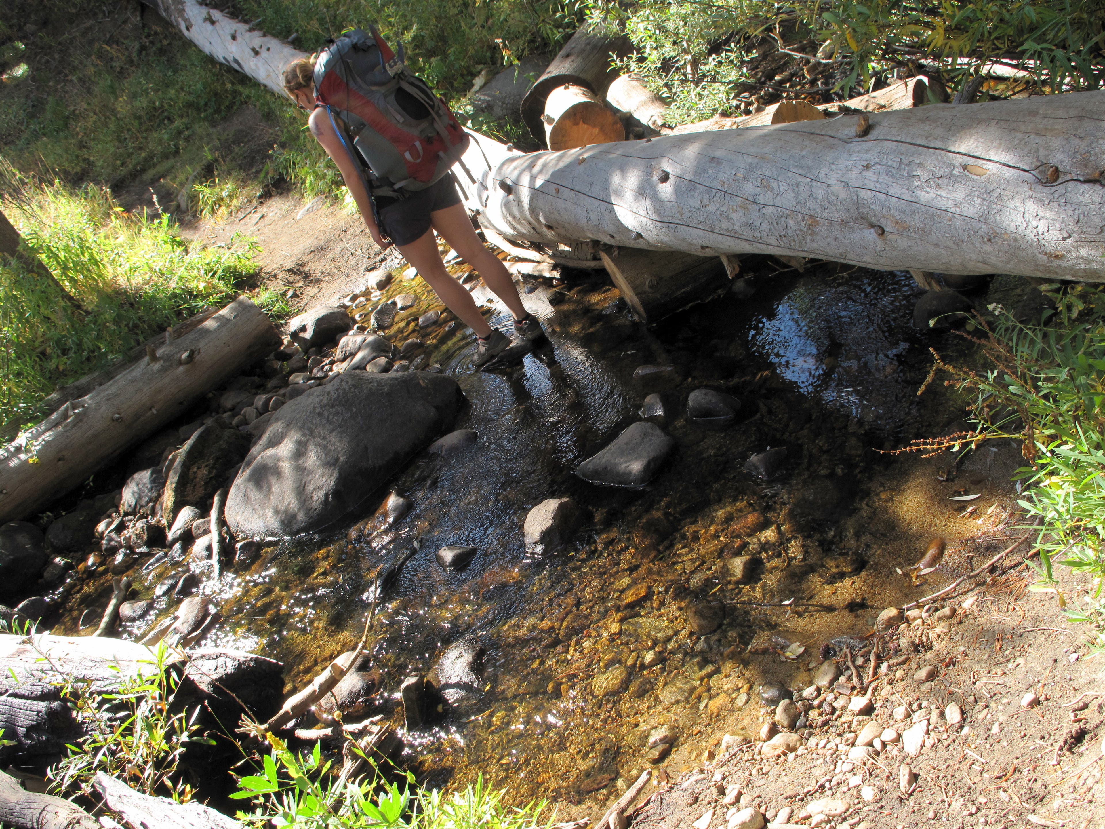
Just after crossing the Clark Fork, cross Red Creek.
CLK018
Location: 37.650852, -119.472005
While climbing over exposed rock, pass a small pool offering a perfect break spot. An established campsite sits just a little further up the trail.
CLK019
Location: 37.630496, -119.447308
Pass a seasonal waterfall (dry in late summer) tumbling from Lower Merced Lake’s outlet creek.
CLK020
Location: 37.626267, -119.443967
To reach the first night’s campsite, bear right at a trail leading to Merced Pass before making a quick left to follow an outlet stream to Upper Merced Pass Lake. Good campsites are tucked into the trees on the northeastern edge of the lake. If you still have some gas in the tank, continue heading up the trail to Lower Ottoway Lake (2.5 miles away) or Upper Ottoway Lake (3.7 miles), where additional prime campsites await. The following day begins with a steep ascent to Red Peak Pass. Return to the Y-junction on the main trail and turn right to begin your climb. Along the way, hardy Jeffrey pines cling tenaciously to the thin soil.
CLK021
Location: 37.637867, -119.430633
Break out of the trees and onto exposed granite. Follow cairns to Lower Ottoway Lake.
CLK022
Location: 37.640333, -119.4285
Cross Ottoway Creek and pass a small pool as you push upward.
CLK023
Location: 37.644417, -119.420083
Reach Lower Ottoway Lake. Prime campsites are available in the meadows just across the inlet on the lake’s northwest shore. Good fishing can be had on the rocky bluff at the north end of the lake. The trout in the lake respond well to small black flies. If you’re continuing upward, prepare for the possibility of severe weather around the exposed pass.
CLK024
Location: 37.645126, -119.405637
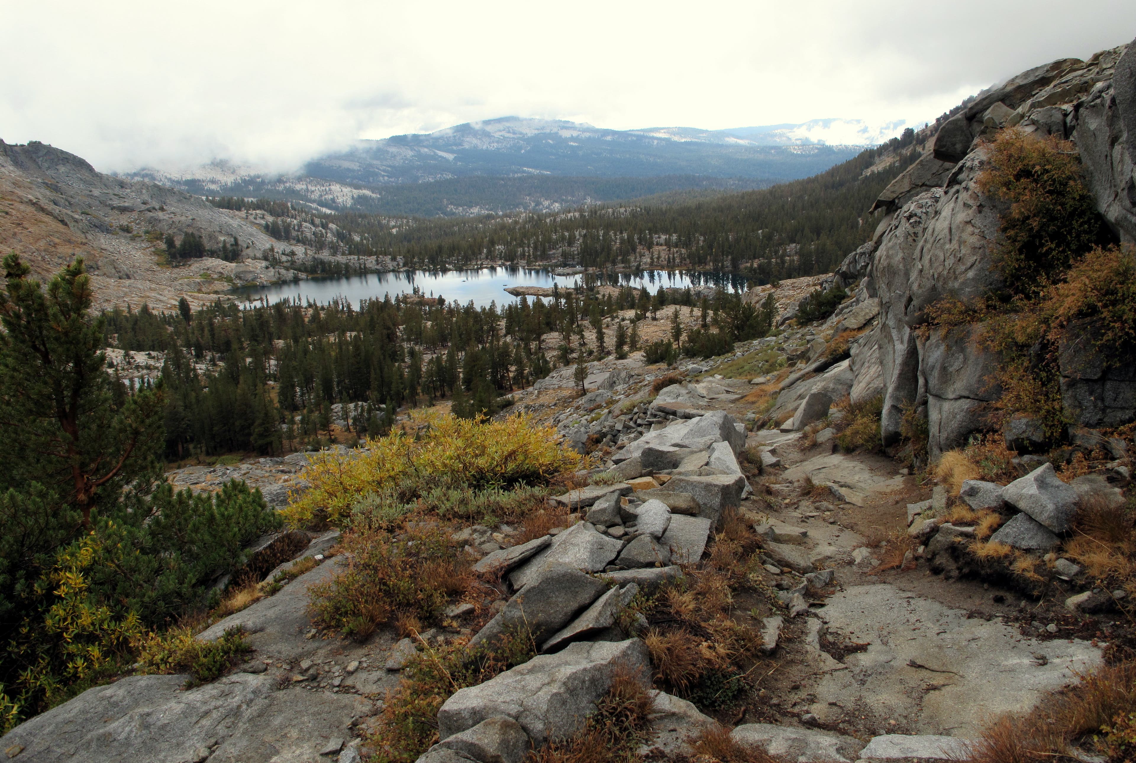
Cross a small stream, which you can follow to off-trail access of Upper Ottoway Lake and its smaller, unnamed companion. Pushing upward, you’ll negotiate a series of steep, tight switchbacks lined by orange-tinted talus. Spectacular panoramas of the Ottoway Lakes await.
CLK025
Location: 37.65055, -119.40445
Reach the saddle of Red Peak Pass, Yosemite’s highest pass. Snow lingers on the north side of the pass throughout the year.
CLK026
Location: 37.653917, -119.40285
Weave through a boulder field as the emerald waters of Red Devil Lake creep into view to the north.
CLK027
Location: 37.658367, -119.385233
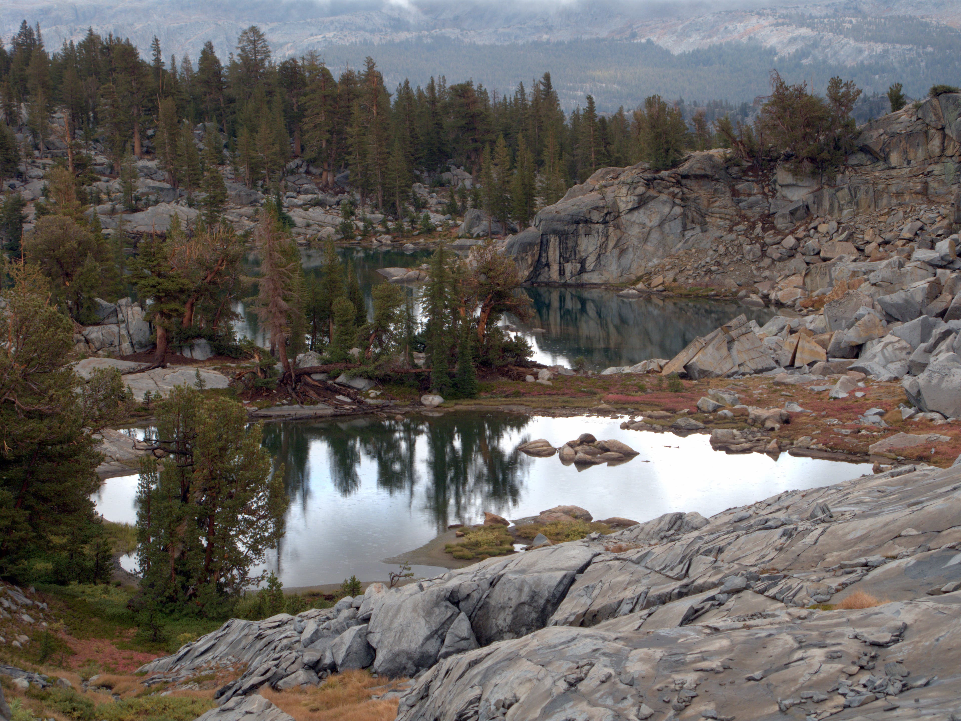
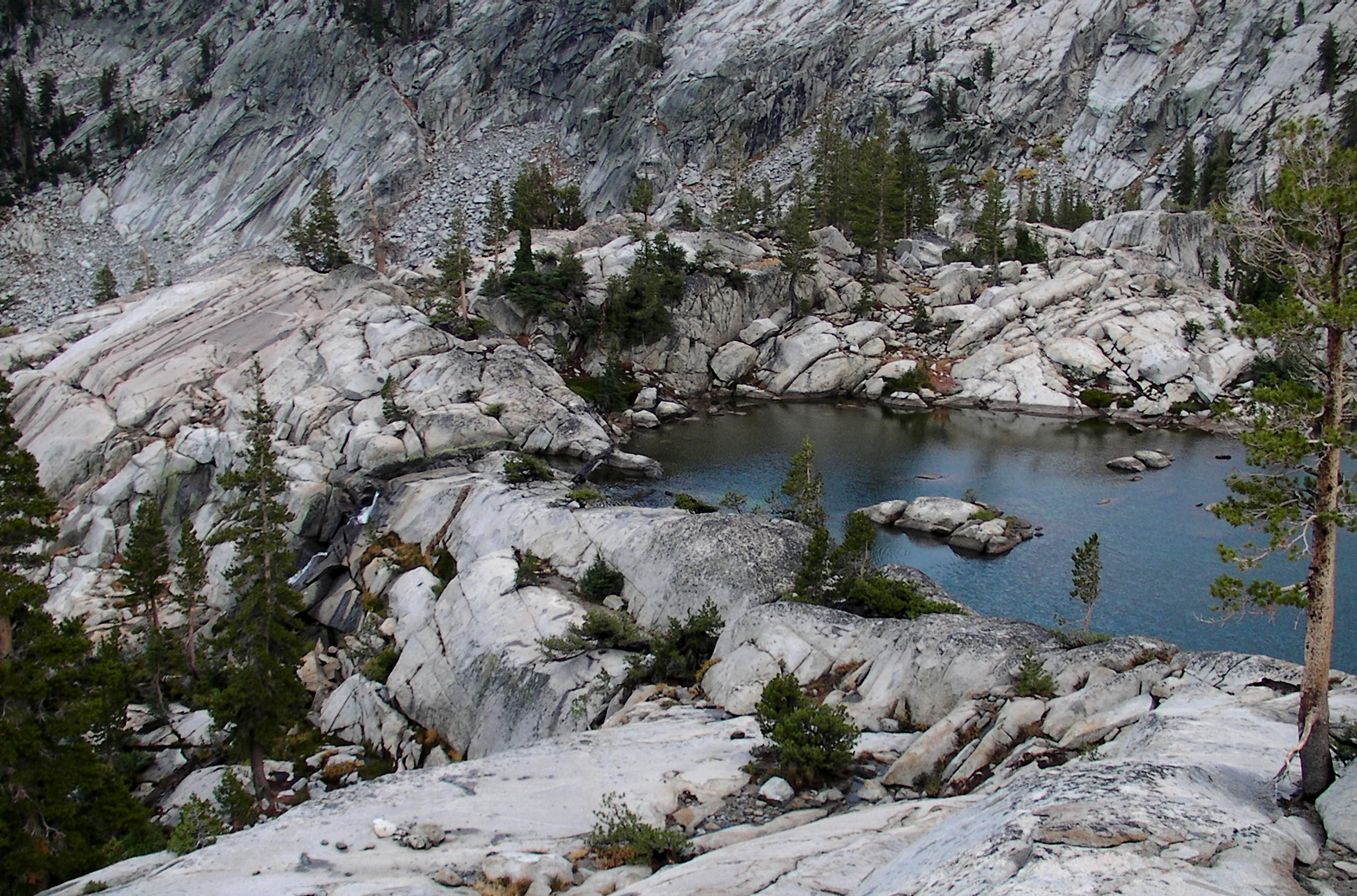
Weave through a wonderland of blasted granite, scattered pines and emerald lakes as you descend from Red Peak Pass. Campsites are available around some of the lakes.
CLK028
Location: 37.6528, -119.37595
Enter a large cirque. Look south for a 300-foot waterfall draining from a small pond below Edna Lake.
CLK029
Location: 37.651267, -119.374717
Reach a Y-junction between the main trail (right) and a social trail (left). The social trail, which follows the Merced Peak Fork, requires some hand-and-foot scrambling while tracing exposed rock along the creek. Numerous swimming holes and occasional campsites dot this route, which reconnects with the main trail in 3.9 miles. Bear right too stick to the traditional route, which is longer (6.1 miles) but smoother.
CLK030
Location: 37.661517, -119.368783
Pass Serenity Lake, which is blocked from view by trees until you past it. Stay high for the easiest route here.
CLK031
Location: 37.666467, -119.3646
Exercise caution while negotiating a quick but steep descent.
CLK032
Location: 37.683243, -119.351179
Keep your eyes open for a safe spot to cross the Merced Peak Fork crossing. The river runs faster as you trek lower.
CLK033
Location: 37.690986, -119.348431
At the bottom of the talus field, look for a well-travelled trail and follow it to a small footbridge spanning Merced Peak Fork. As the trail descends through a valley, gain spectacular views of the Triple Peak Fork sliding down 600 feet of polished granite.
CLK034
Location: 37.699483, -119.34855
Exposed slickrock yields to dense woods. In 250 yards, you’ll cross the Merced River on a large footbridge as the route bends west.
CLK035
Location: 37.705117, -119.35475
At a clearing in the woods, nab a view of the Merced River delving into a small waterfall.
CLK036
Location: 37.710714, -119.366112
At the end of Day Two, look for campsites along Washburn Lake’s flat southern shore.
CLK037
Location: 37.718383, -119.373517
Follow the Washburn River away from Washburn Lake.
CLK038
Location: 37.728017, -119.391867
As the Gray Peak Fork drains into the Merced River to your left, cross through a cattle gate.
CLK039
Location: 37.737483, -119.394183
Continue past the Merced Lake Ranger Station. Cross several footbridges while trekking through a wooded pocket just above Merced Lake.
CLK040
Location: 37.738317, -119.405083
Traverse a quick section of slickrock before reaching the Merced Lake High Sierra Camp. Bear right at the junction to stay on the main trail. Campsites for your third night are tucked into the trees flanking Merced’s eastern shore.
CLK041
Location: 37.73835, -119.4182
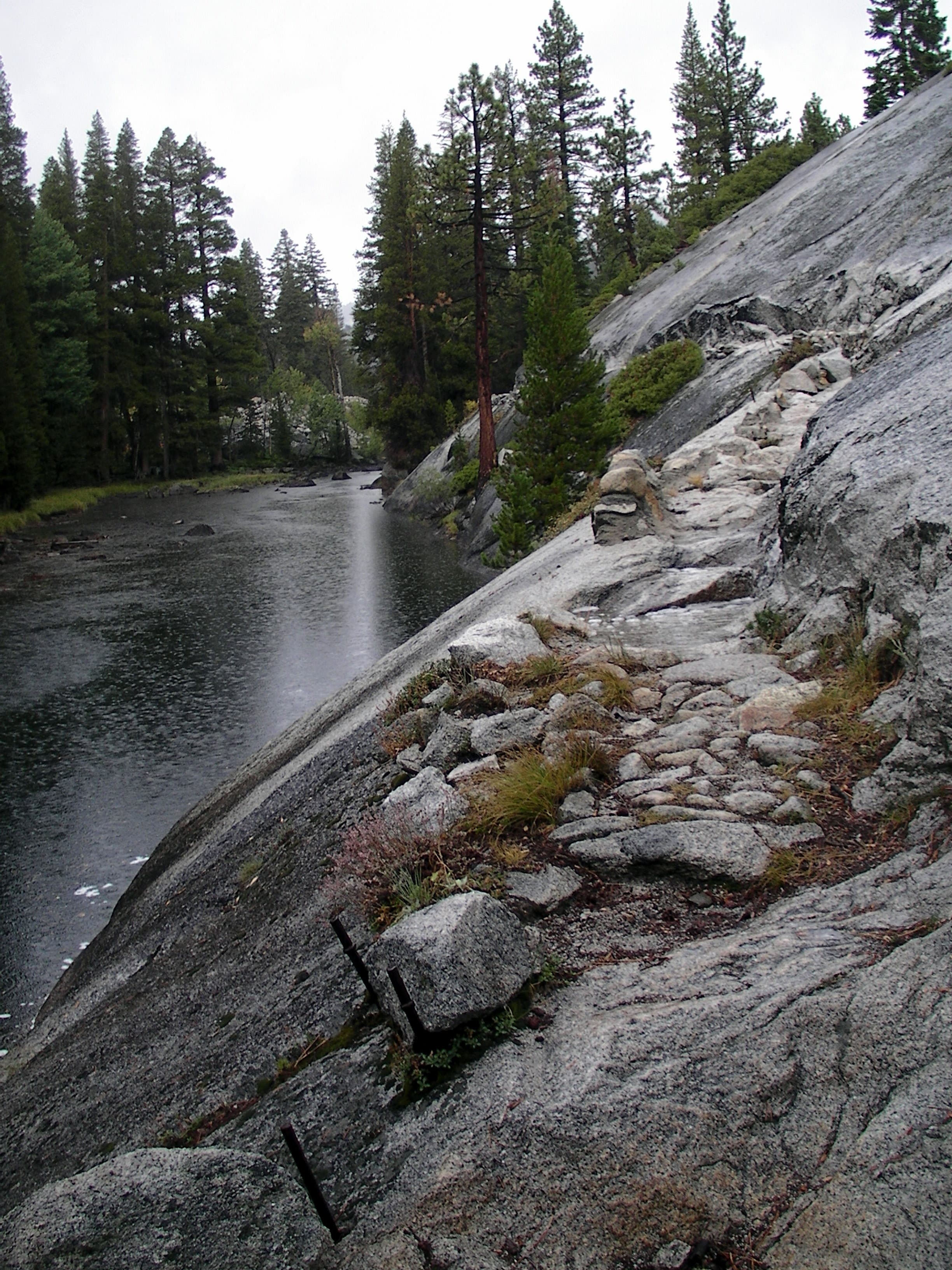
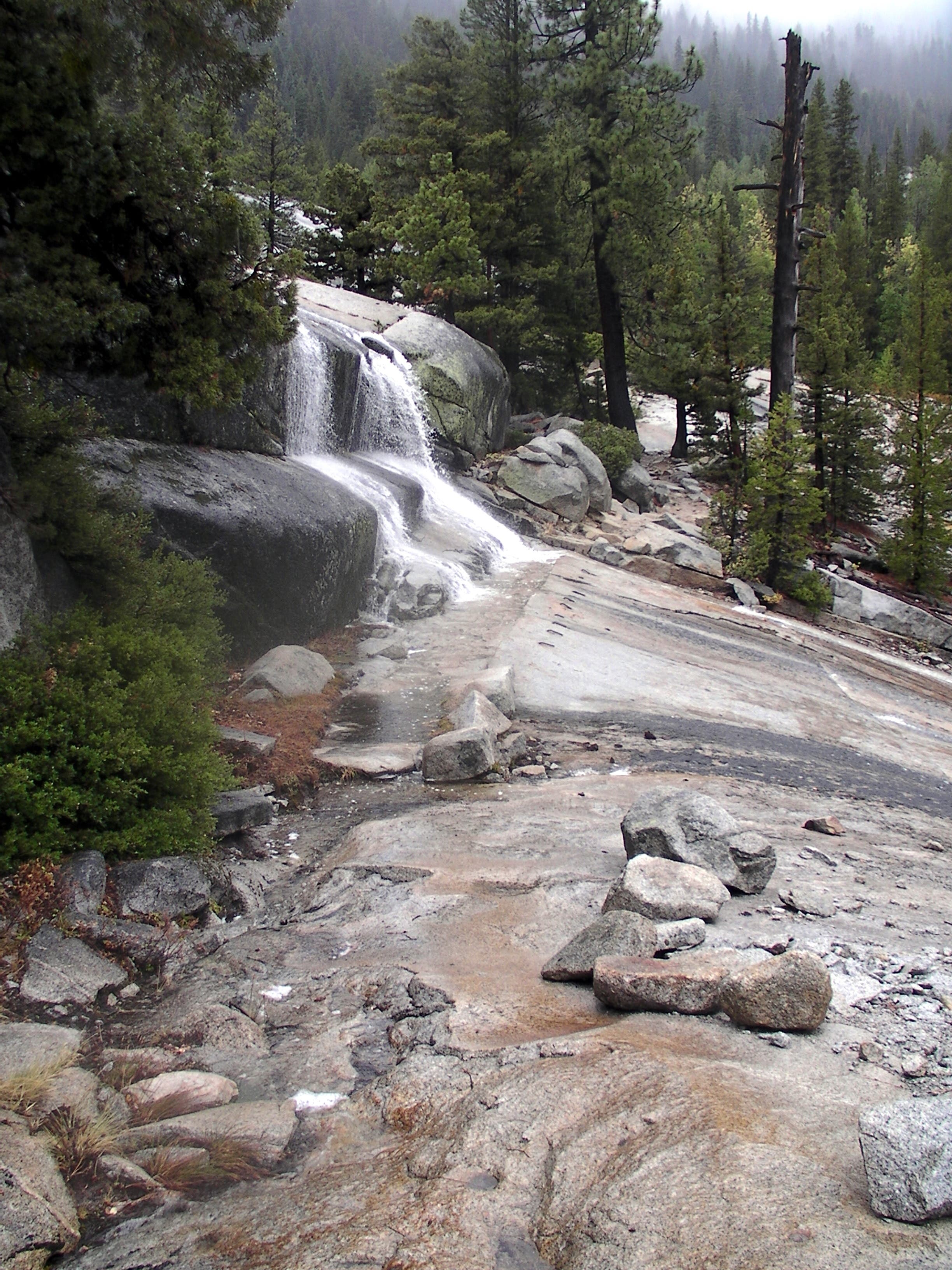
From the western tip of Merced Lake, water spills down the smooth granite slopes you’ll follow downhill.
Leave Merced Lake and watc the water tumble down a nice boulder waterslide. From here the trail traverses the open slickrock passing by small waterfalls along the way.
CLK042
Location: 37.746633, -119.4364
Cross over a truss bridge and several footbridges before reaching a Y-junction. Turn left to continue following the Merced River.
CLK043
Location: 37.738743, -119.458399
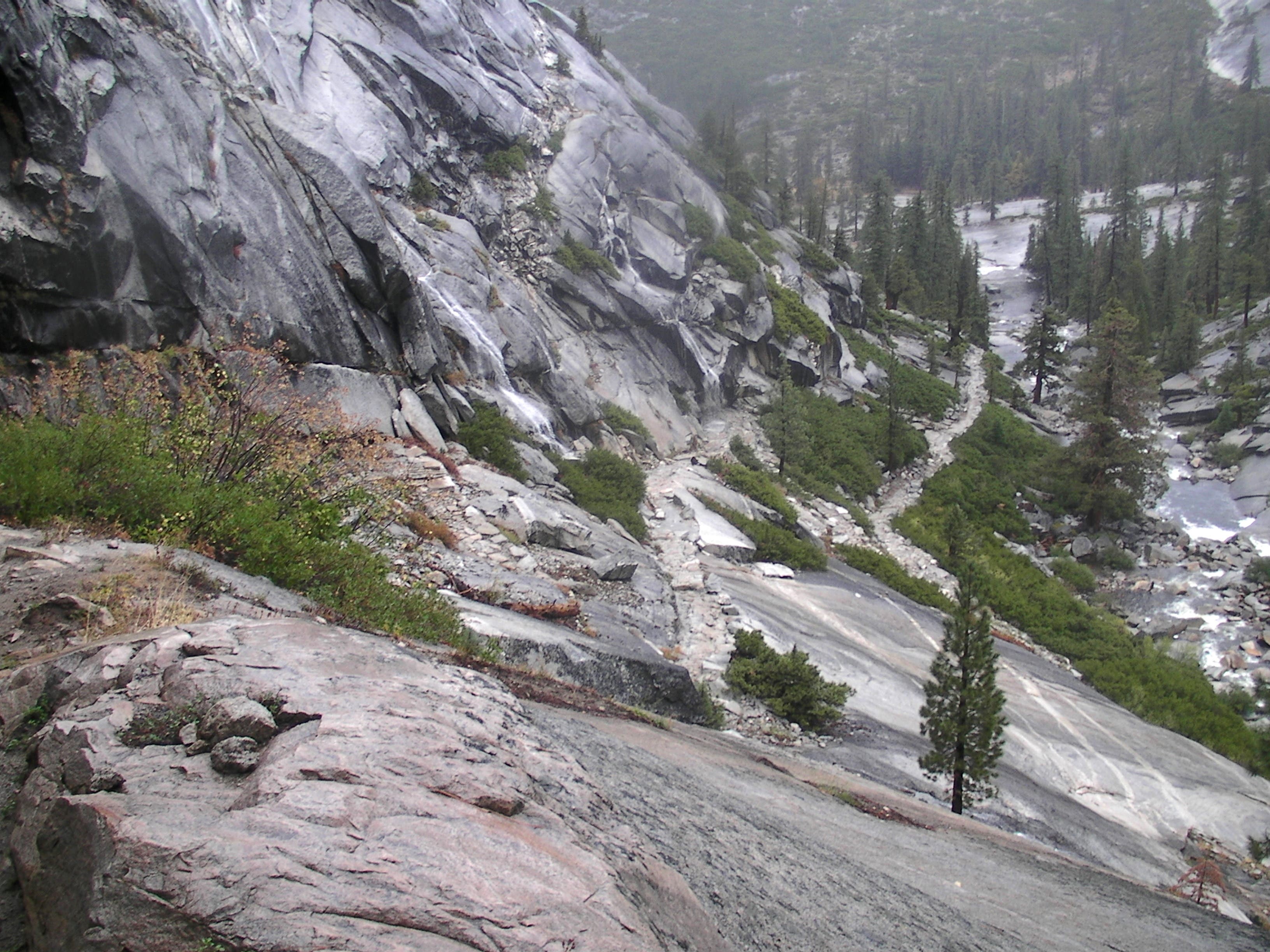
Swing through a series of switchbacks sprayed by misty waterfalls as you descend to the banks of the Merced River.
CLK044
Location: 37.744861, -119.461513
Cross the Merced River before weaving through house-sized boulders and rounding Bunnell Point. The slick, granite-bottomed Bunnell Cascade waits around the bend.
CLK045
Location: 37.73515, -119.485533
Enjoy a 1.5-mile flat stretch through the bottom of Little Yosemite Valley. No camping is allowed in this area.
CLK046
Location: 37.734117, -119.508533
While padding along the grassy valley floor, look west for a view of Half Dome.
CLK047
Location: 37.731795, -119.515157
Bear left at Y-junction. The right fork follows the JMT to the Half Dome Trail.
CLK048
Location: 37.726381, -119.52992
Reach the Mist Trail junction. Turn right to follow the Mist Trail back to the trailhead, or re-cross the top of Nevada Fall and pick up the John Muir Trail for a gentler trip downhill.
MTR001
Location: 37.658619, -119.344464
Bear left at the Y-junction.
Toward Red Peak Pass
Location: 37.645789, -119.409757
Snag prime aerial vistas of Lower Ottoway Lake as you push toward Red Peak Pass.
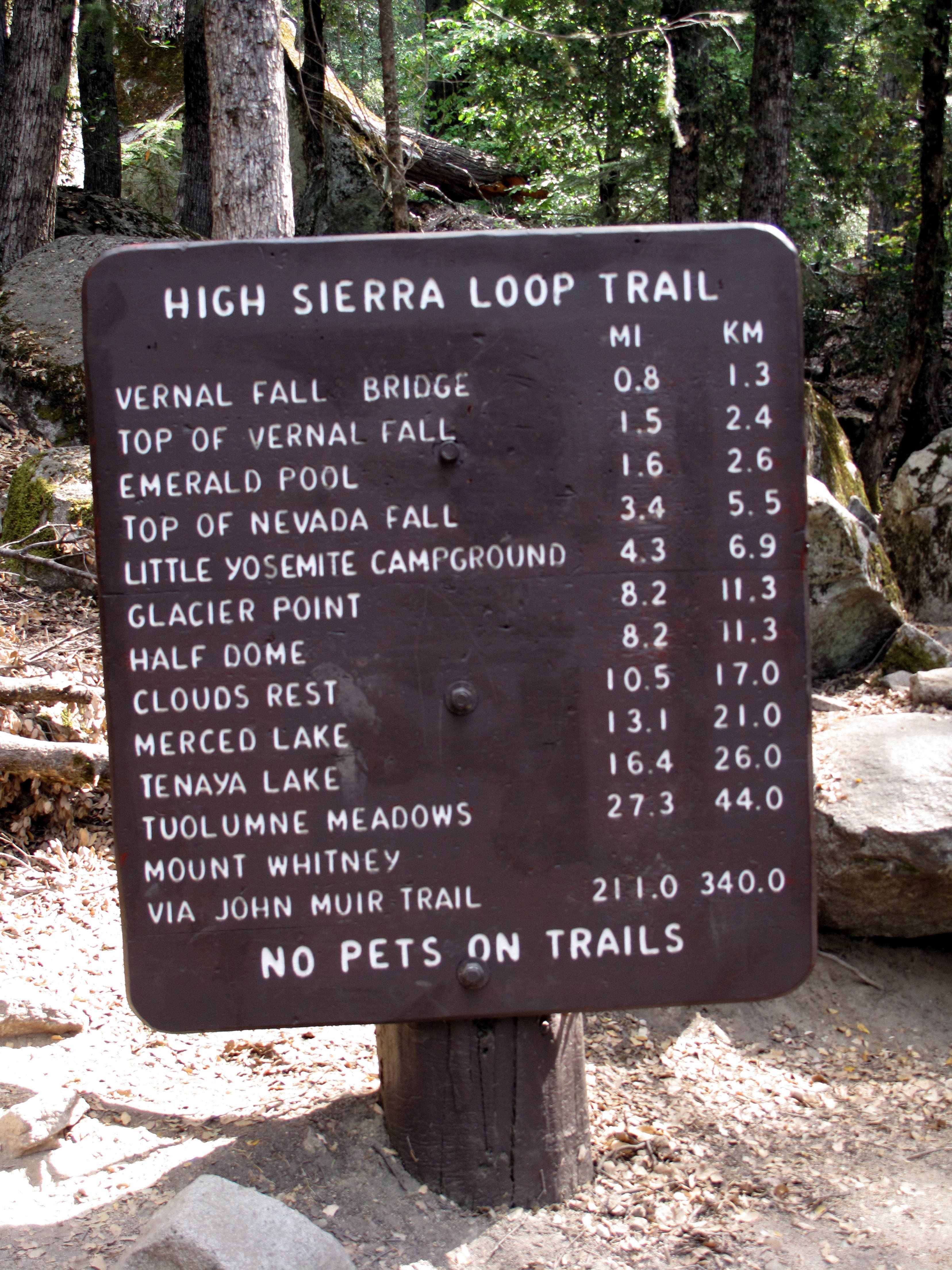
High Sierra Loop Trail
Location: 37.73025, -119.558167
Your next stop — Vernal Fall Bridge — lies 0.8 mile away.
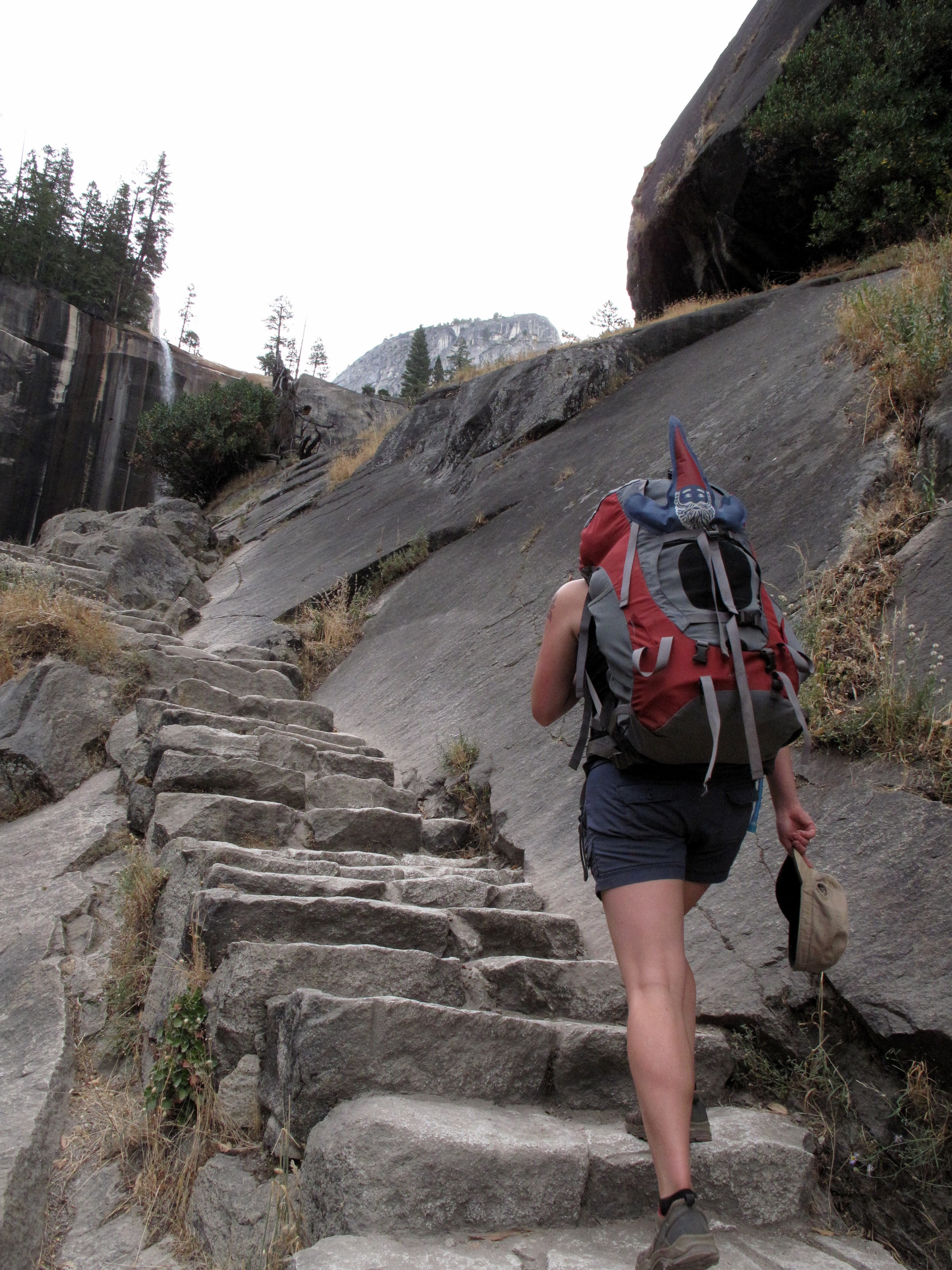
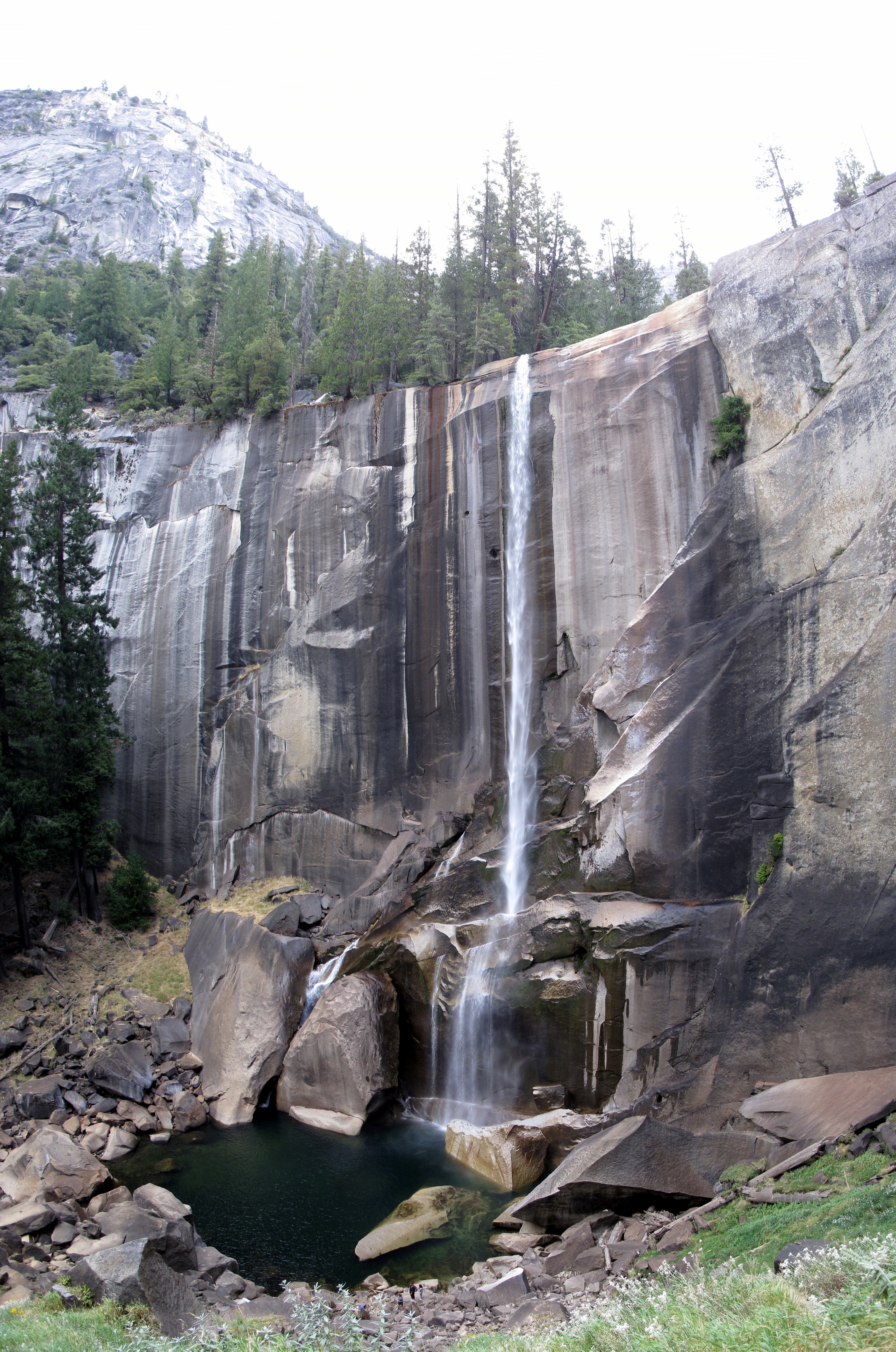
Climbing Toward Vernal Fall
Location: 37.726686, -119.545927
Climb a steep stone staircase leading to the base of Vernal Fall.
Nevada Fall
Location: 37.726228, -119.536035
Nevada Fall, flanked by Liberty Peak to the north, plunges 594 feet from the Merced River.
Approaching Nevada Fall
Location: 37.726092, -119.534039
The Mist Trail traverses exposed rock en route to Nevada Fall.
Liberty Cap
Location: 37.724217, -119.533367
Gain up-close vistas of Liberty Cap from the top of Nevada Fall.
Merced River
Location: 37.72475, -119.533033
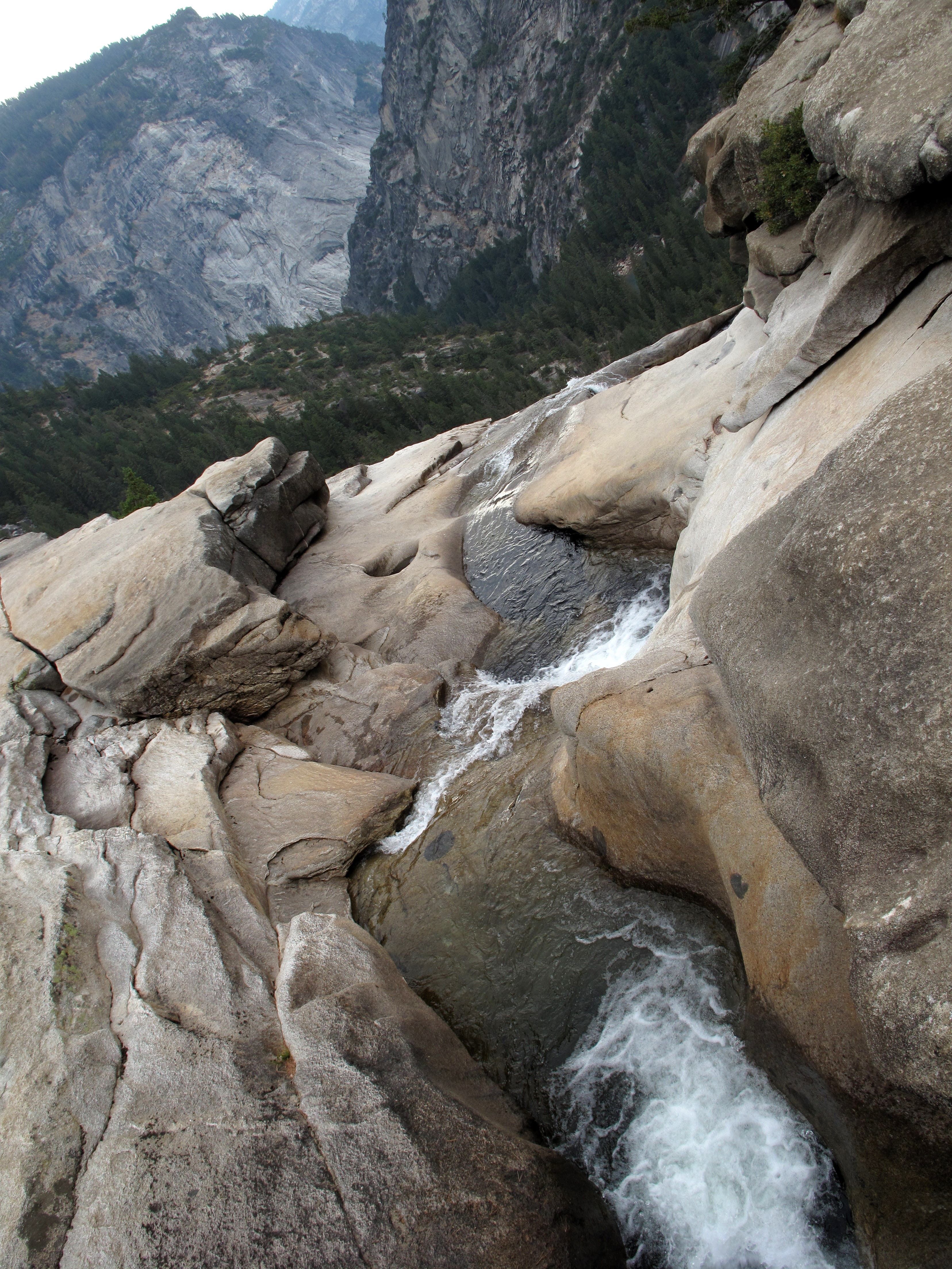
Cross the Merced River as it spills toward Nevada Fall.
Merced River: Rest Spot
Location: 37.724497, -119.533052
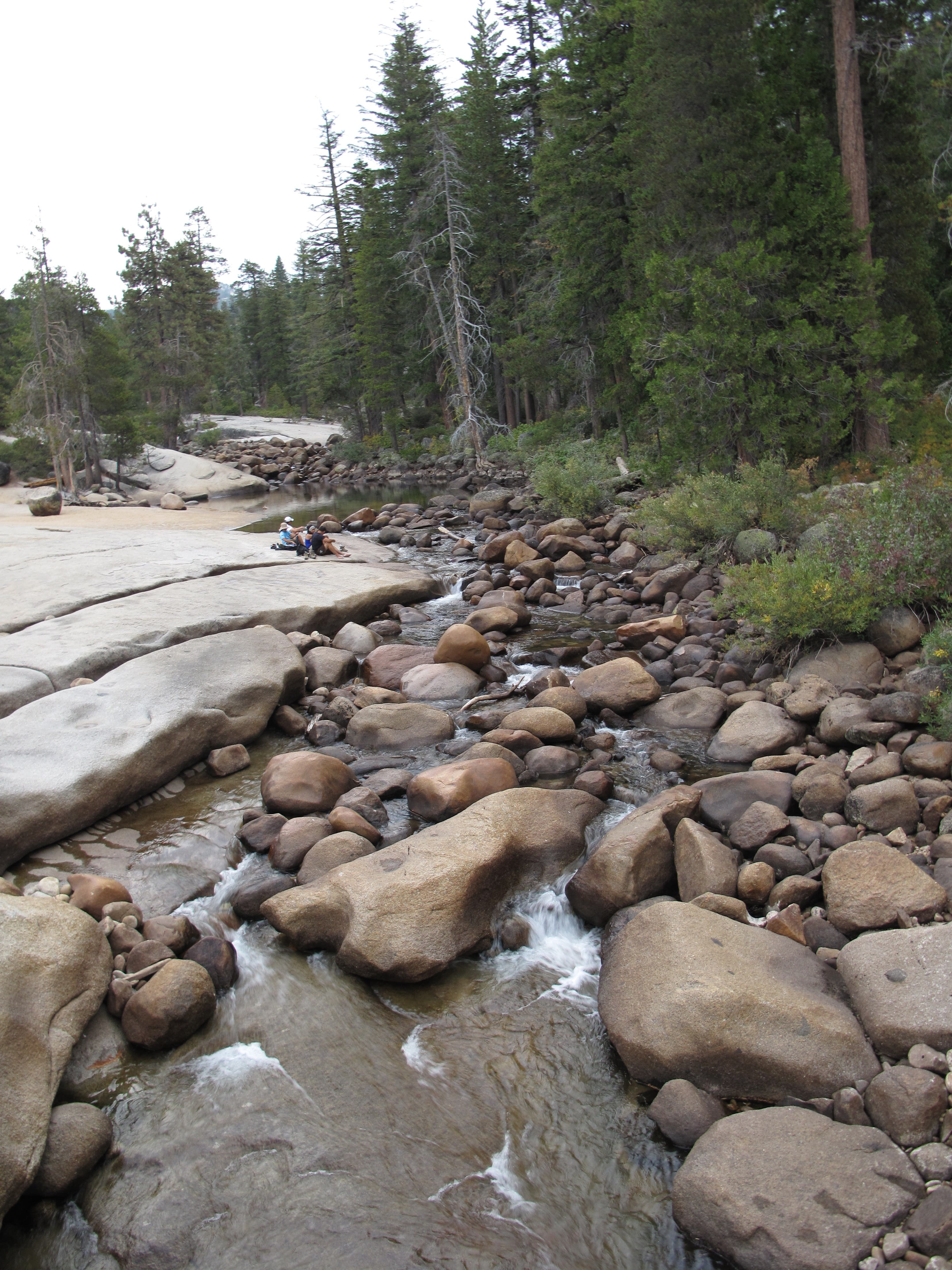
Broad granite slabs along the Merced River make for good rest spots.
Burn Area
Location: 37.718283, -119.54055
Trek through burn area as you head south from Nevada Fall.
Mount Starr King
Location: 37.701367, -119.541833
The bell-shaped Mount Starr King looms over the trail to the east as you swing downhill on an unnamed trail.
Bouldering Spot
Location: 37.682583, -119.512833
Test your bouldering skills on this mushroom-shaped rock off the side of the trail.
Clark Fork
Location: 37.67955, -119.501333
Cross the Clark Fork. An established campsite is situated across the stream.
Red Creek
Location: 37.676841, -119.498312
Just after crossing the Clark Fork, cross Red Creek.
Fall Colors
Location: 37.637259, -119.457822
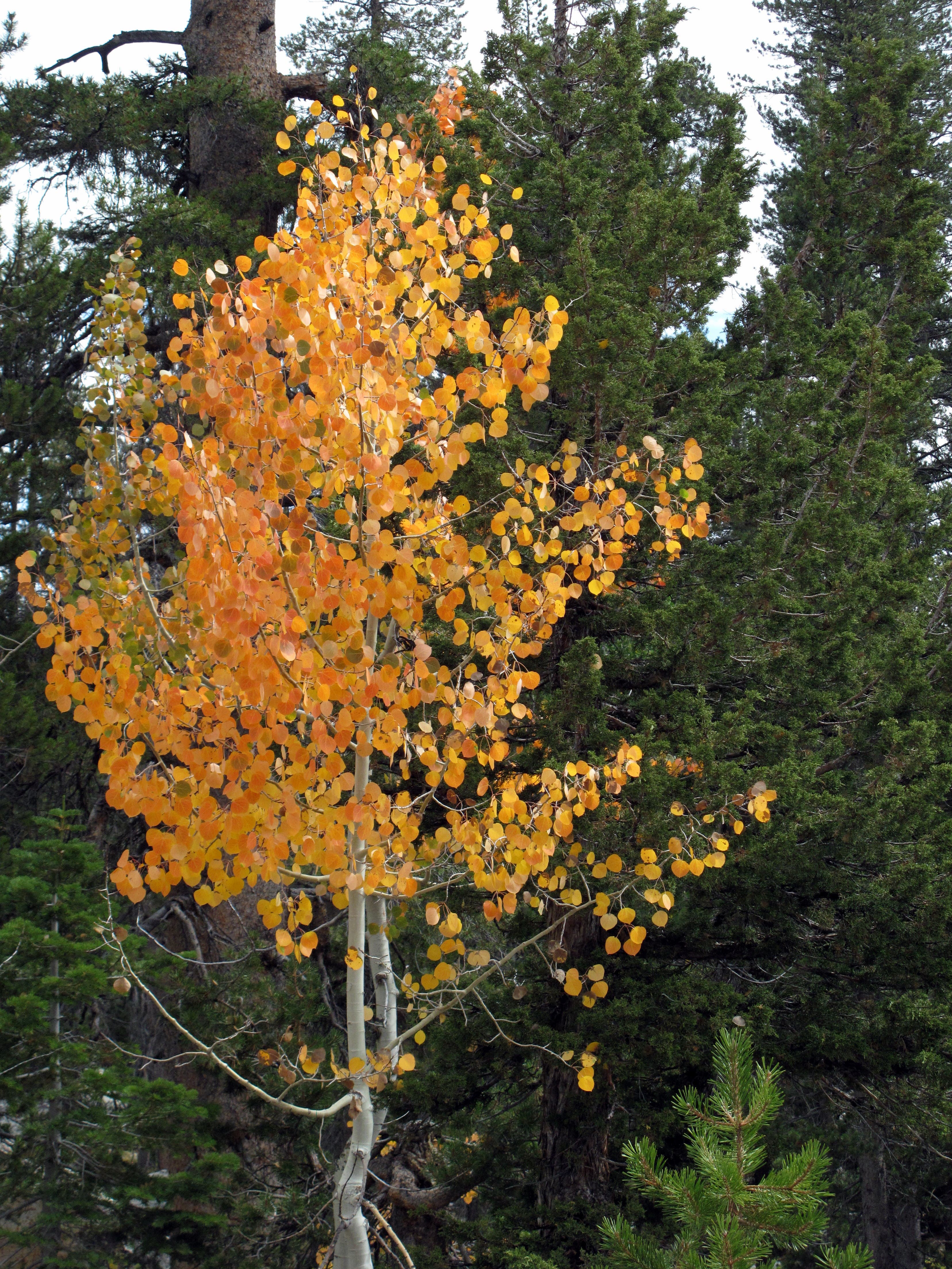
Most trees in Yosemite stay green through the year, but the occasional Aspen adds a splash of fall color to the forest.
Golden Ferns
Location: 37.63615, -119.457967
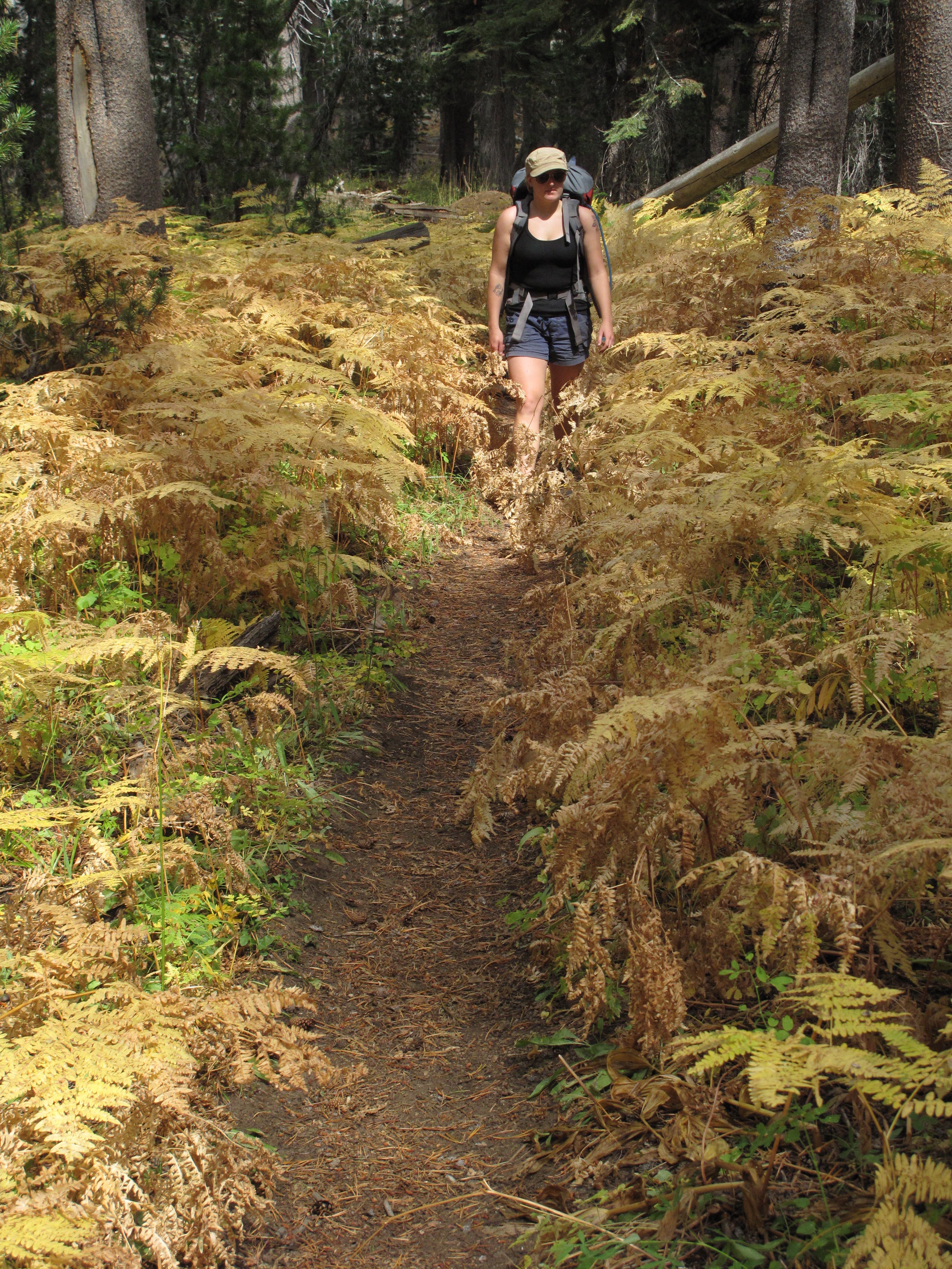
Low-lying vegetation brushing the trail transforms from green to gold in fall.
Approaching Ottoway Lakes
Location: 37.636317, -119.432967
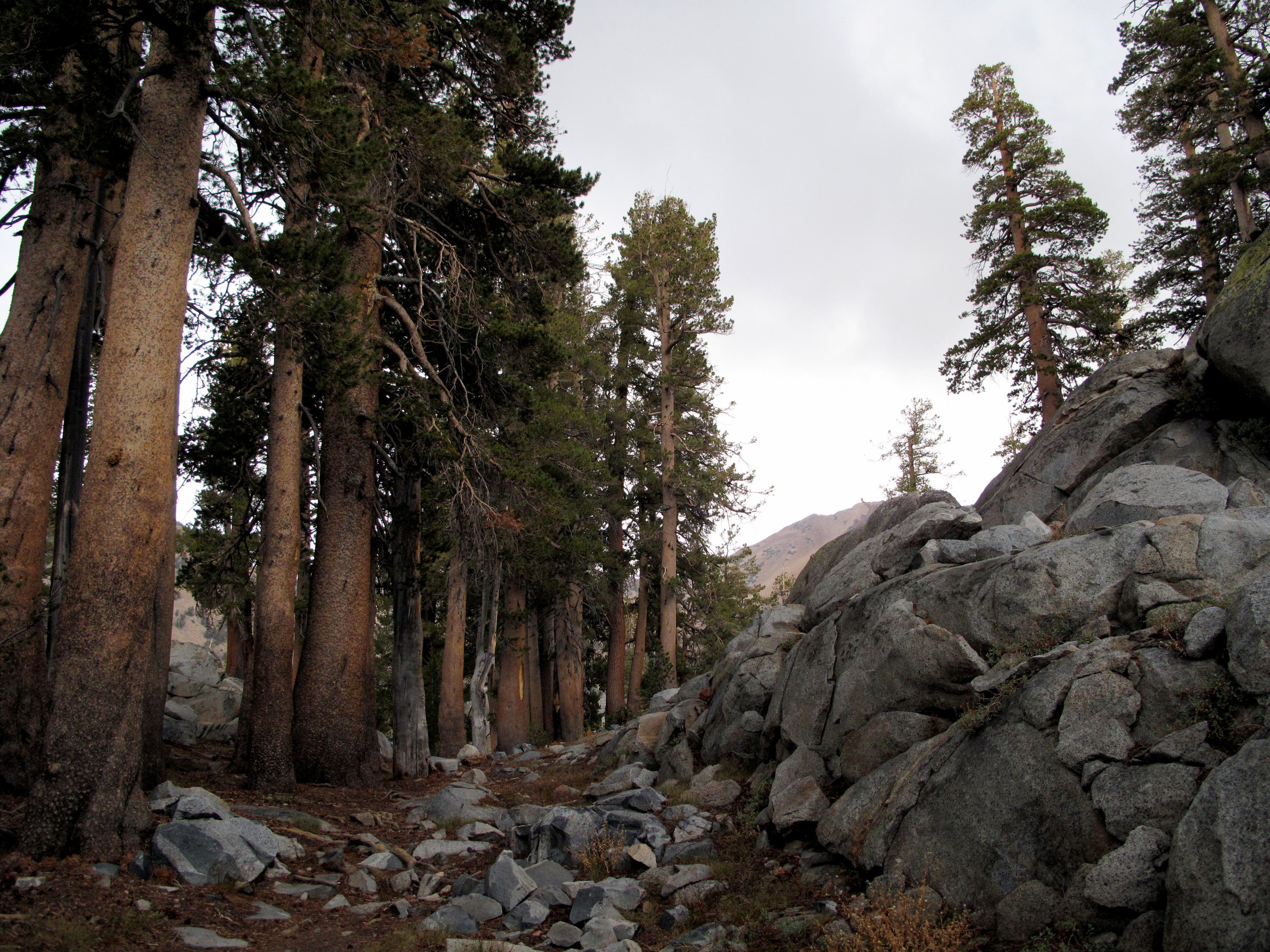
Lodgepole pine and cracked granite line the trail to Ottoway Lakes. The trees thin out as you climb higher, leading to increasingly revealing panoramas.
Trees Thin Out
Location: 37.637933, -119.430583
Scrappy Jeffrey pines cling to life through cracks in the granite.
Lower Ottoway Lake
Location: 37.645466, -119.419541
Nab spectacular panoramas of Lower Ottoway Lake from its pointy, northern shore.
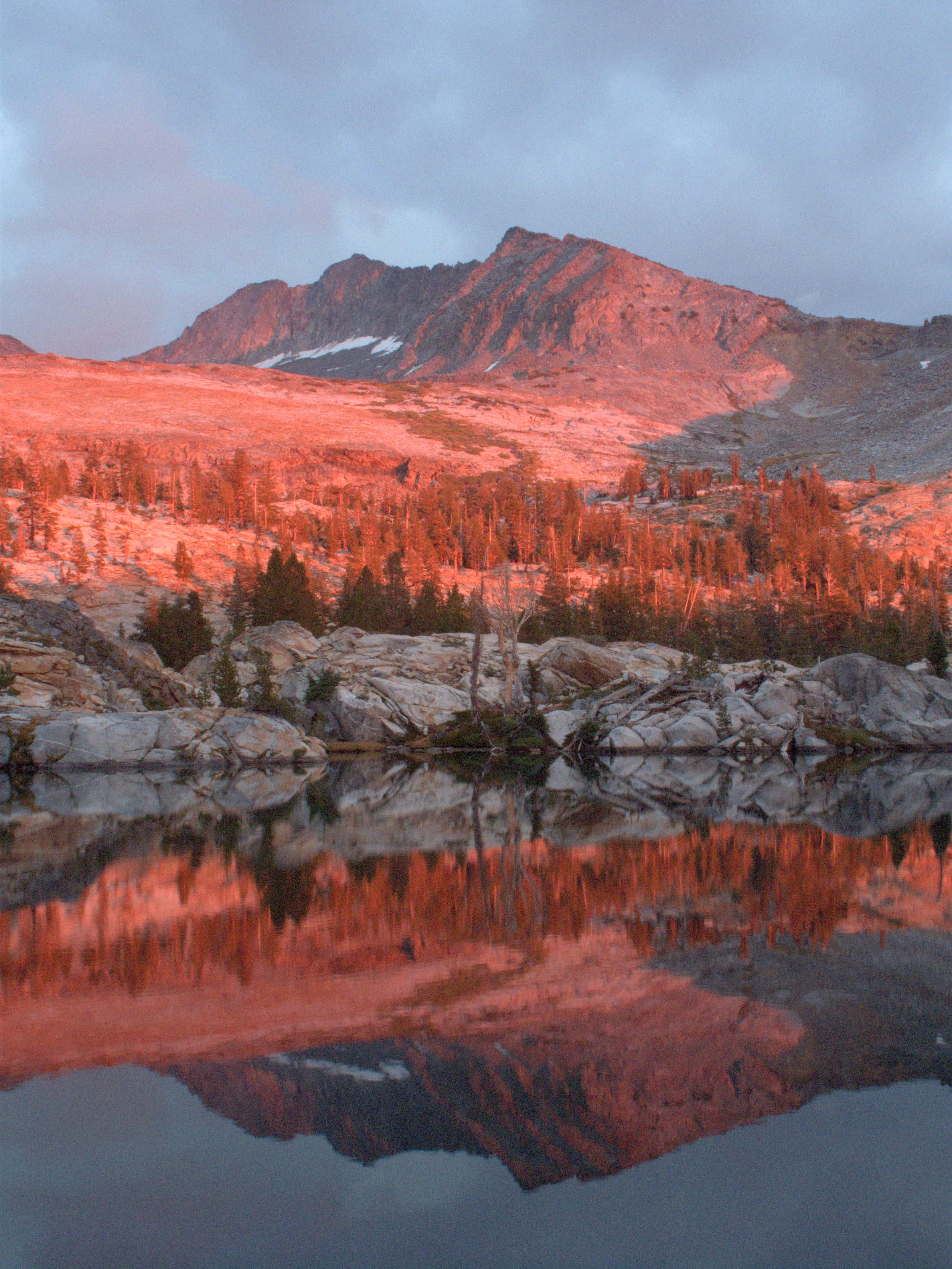
Sunset
Location: 37.645134, -119.419685
Sunset casts a dramatic tint over the exposed granite features surrounding Lower Ottoway Lake.
North Of Red Peak Pass
Location: 37.657443, -119.385402
Emerald lakes dot the granite-blasted, pine-dotted alpine wonderland north of Red Peak Pass.
Above Serenity Lake
Location: 37.661571, -119.367549
Employ some basic route-finding skills while scrambling off-trail above Serenity Lake.
Serenity Lake
Location: 37.661809, -119.366734
Lined by a stunning ring of smooth granite, Serenity Lake comes into view near mile 24.2.
Returning To Main Trail
Location: 37.688283, -119.3499
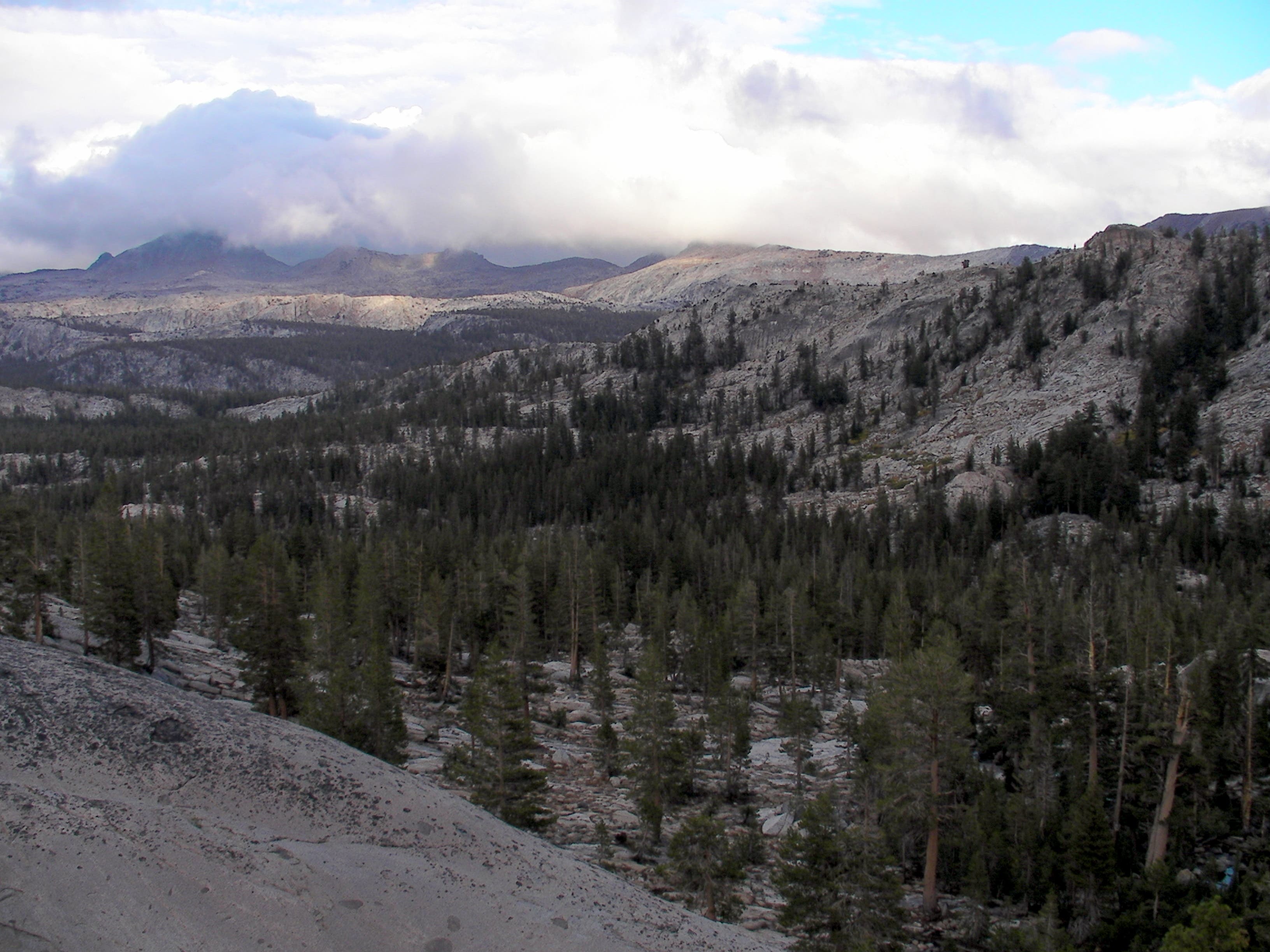
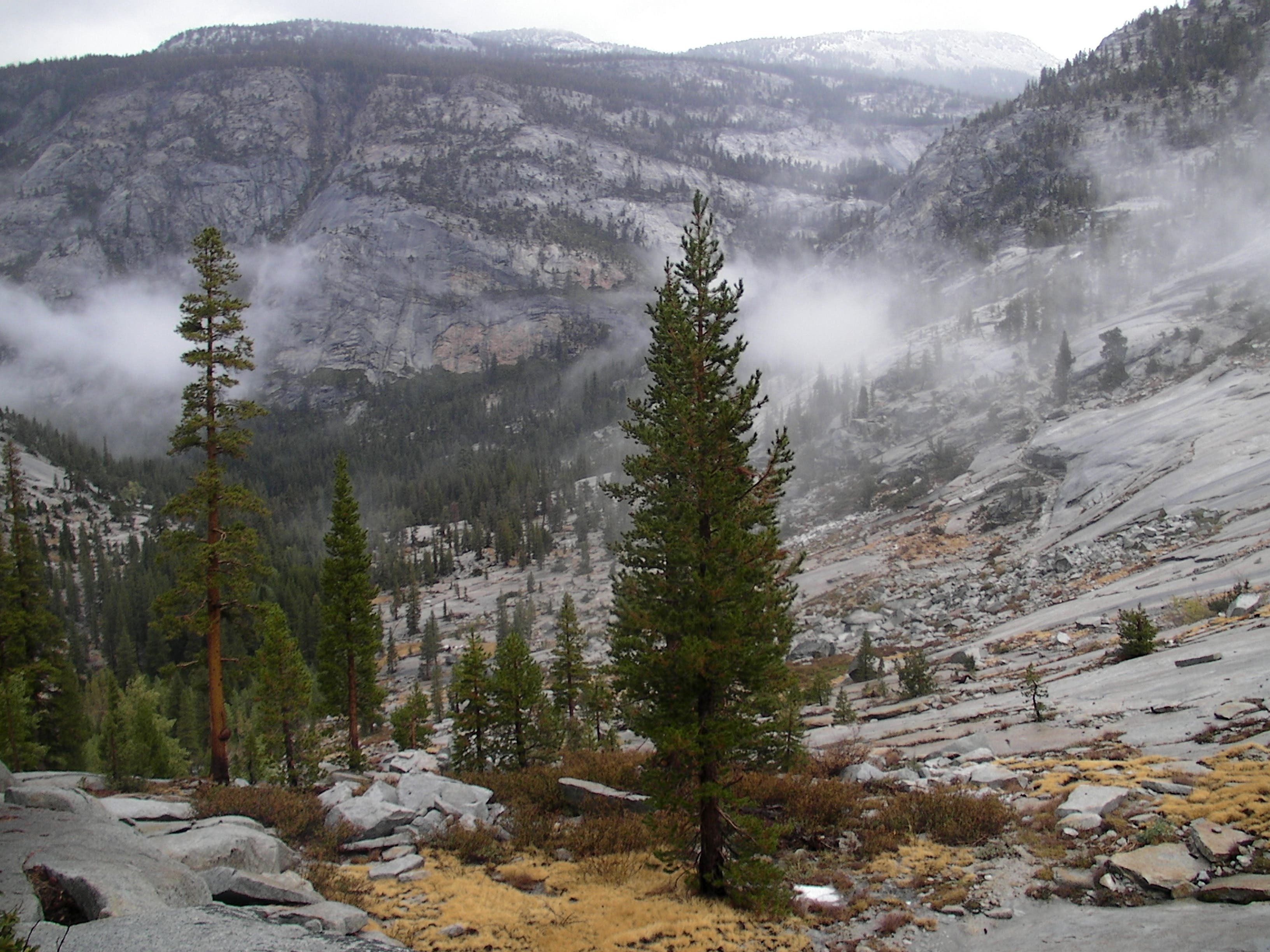
As you near the main trail, descend slickrock granite slopes adorned with clusters of trees and chunks of boulder.
Merced Peak Fork: Waterfall
Location: 37.694416, -119.349632
While trekking downhill, look east to catch the Merced Peak Fork sliding down 600 feet of smooth granite.
Washburn Lake
Location: 37.714483, -119.36945
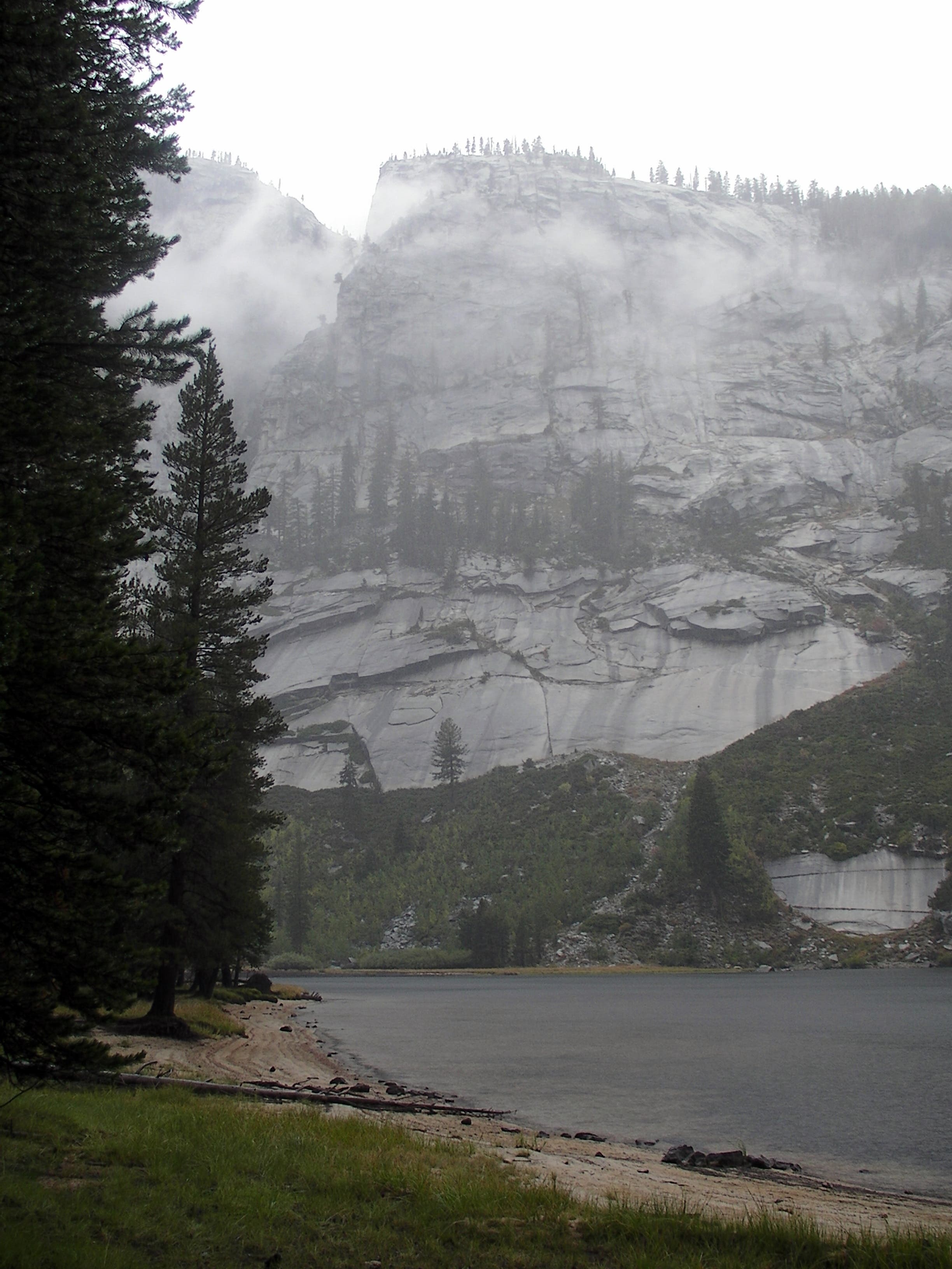
Flanked by towering granite cliffs on its western edge and sandy shoreline on the east, Washburn Lakes rests in a narrow valley at 7,606 feet.
North Of Washburn Lake
Location: 37.719217, -119.374167
Cut across a steep slickrock granite slope as you push north from Washburn Lake.
Merced River Slide
Location: 37.738317, -119.44805
Water from the Merced River slides over smooth granite on the north side of the trail.
Granite Slopes
Location: 37.73865, -119.458358
Majestic granite cliffs slide into the valley carrying the Merced River.