Published May 13, 2019 05:08PM
Yosemite Valley Loop Trail, CA
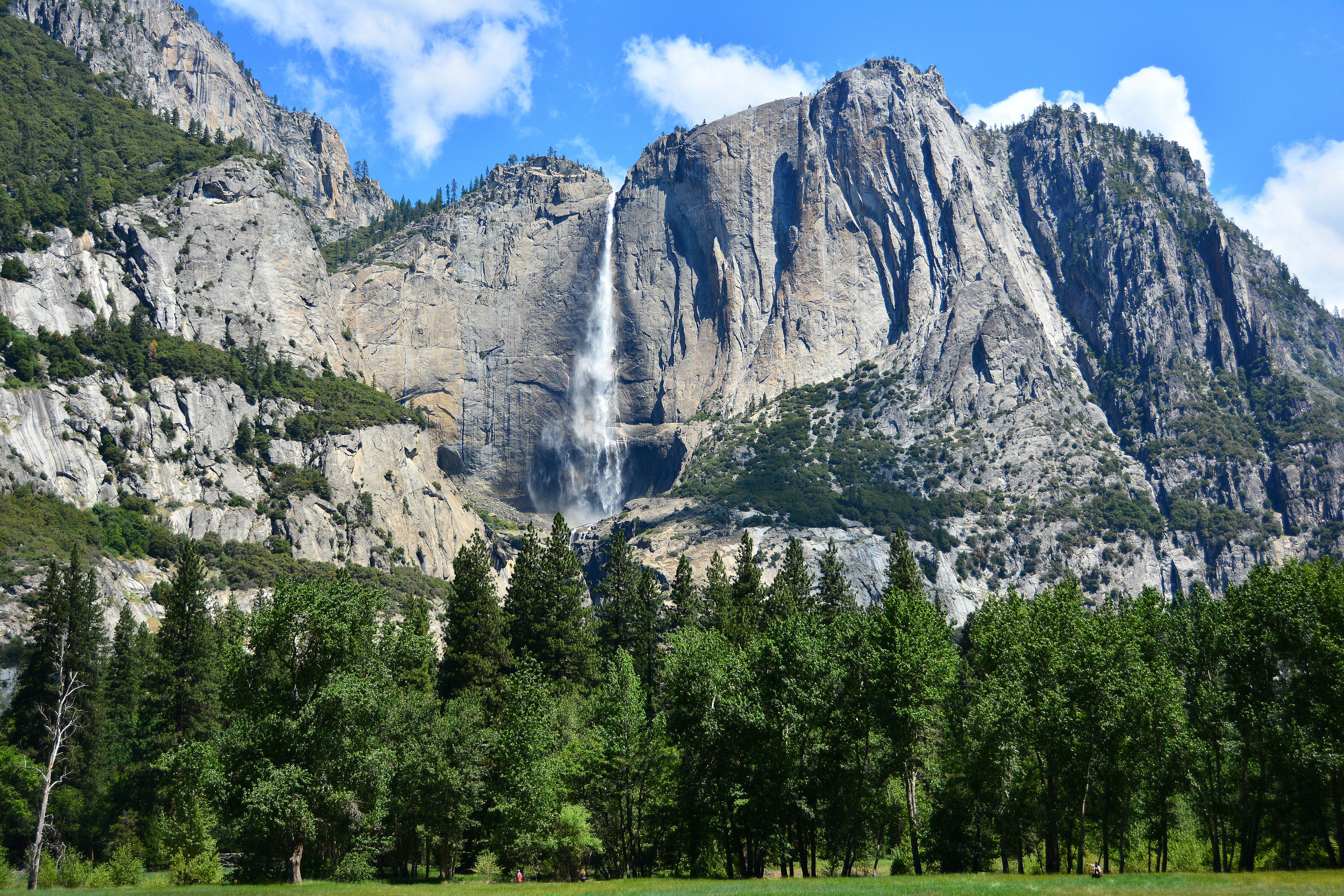
Get up close and personal with North America’s tallest waterfall and Yosemite Valley’s greatest hits on this 20.6-mile loop.
Trail Facts
- Distance: 20.6 miles
- Time: 7 hours
- Difficulty: 3 out of 5
Summary
Yosemite Valley is crowded for a reason: From the calm meadows at its heart to the waterfalls that cascade down its 3,000-foot granite walls, the spectacular surroundings have enchanted hikers for more than 150 years. Despite the hordes that descend on the valley when the weather gets warm, some solitude is still achievable in this natural haven—if you go now.
The Yosemite Valley Loop Trail takes you past the park’s most famous sights in 20 mostly flat, mostly crowd-free miles. Get close-up views of El Capitan, Bridalveil Fall, the Merced River, Half Dome, and the hike’s start and endpoint, Yosemite Falls, as you hike through peaceful springtime meadows and ponderosa pine woods.
ADVERTISEMENT
From shuttle stop 6 (37.7457, -119.5937), head clockwise on the Lower Yosemite Fall Trail to the viewpoint at the cataract. Once you’ve taken in North America’s tallest waterfall, continue east, passing Mirror Lake and its view of Half Dome before circling around to head southwest. Continue west past campsites as you parallel Southside Drive on your way to Bridalveil Fall. At mile 14, cross over the drive to finish the western part of the loop (note: you may have to walk on the shoulder of the road due to washed out trails in this section), crossing the Merced River at mile 15.2 as you turn back east. Pass the foot of El Capitan before finishing the final 3 miles back to the Lower Yosemite Falls trailhead. Although the trail is well-marked, bring along a map to orient yourself and make sure you stay on track in the midst of the trail-filled valley.
Tag us @backpackermag and #hikeoftheweek on Instagram, Twitter, or Facebook if you do this Hike of the Week.