Burlington, VT: Mount Philo

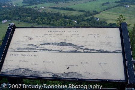
Only twenty minutes from Burlington, the trek up Mount Philo offers a steep—albeit brief—climb to a summit view worthy of a much longer hike. A 2.1-mile round trip with a choice picnic spot at the top, this hike is one of the more family-friendly options around Burlington. Start up the House Rock Trail just past the fee station and hike up a gentle grade until crossing State Park Road after 0.4 mile. From here, the terrain steepens along Devil’s Chair Trail, which passes a few boulder scrambles and squeezes (as well as its namesake rock formation). This trip opts for a more interesting approach to the summit, scrambling up a herd path to ascend Philo’s steepest face. At the top, expansive views to and (on clear days) across Lake Champlain await. Take advantage of summit telescopes to peer even further at the Adirondacks and Green Mountains.-Mapped by Berne Broudy, AuthenticOutdoors.com
Trail Facts
- Distance: 3.4
Waypoints
PHL001
Location: 44.2779846, -73.2221832
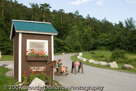
Just up the road from the parking lot and ranger station, the House Rock trail begins on the left.
PHL002
Location: 44.2803891, -73.2176435
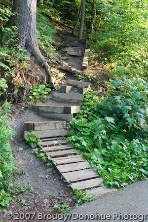
The House Rock Trail crosses the road here. The last few yards up to the road are a steep ascent.
PHL003
Location: 44.2800972, -73.2179117
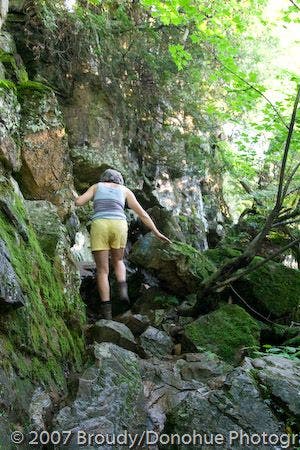
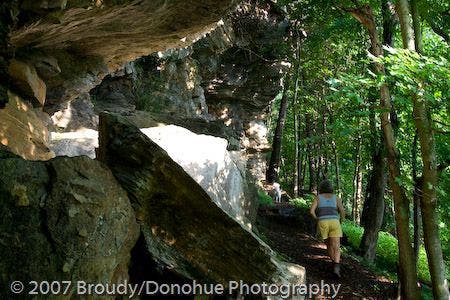
Bear right, scrambling up over a pile of rocks to continue on the Devil’s Chair Trail which follows the base of the cliff. To the left, an unnamed trail traverses above the cliff wall.
PHL004
Location: 44.2799339, -73.2183075
Bear right around a large cedar tree. If you go left here, you’ll have to jump off a large boulder (about three feet to the ground). The two routes intersect a short distance up the trail.
PHL005
Location: 44.2795639, -73.2185287
Bear right to stay on the main trail which gets fairly steep here. To the left is a road drainage.
PHL006
Location: 44.2788298, -73.2186198
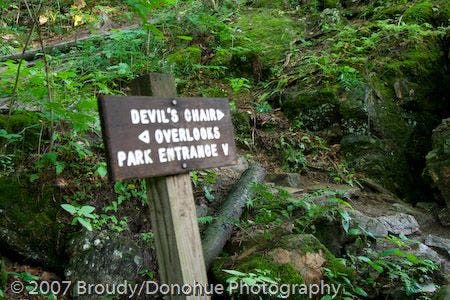
The trail passes the Devil’s Chair rock formation.
PHL007
Location: 44.2776622, -73.2164955
Turn left onto a herd trail. Leave the official trail behind and begin a steep scramble up towards the summit. The main trail descends to the right and meets the road further on for a paved approach to the summit area.
PHL008
Location: 44.2780079, -73.2154441
Mount Philo (968 ft.): Proceed to Waypoint 9 for views of the Adirondacks before taking the road (northwest end of the summit parking lot) back down to the trailhead parking lot. The road down to the trailhead is popular with cyclists; stay to the right.
PHL009
Location: 44.2783318, -73.214859
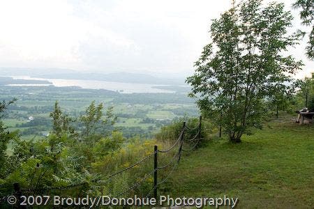
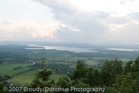
Summit view stretch to the Adirondacks to the south-southeast. On clear days, the telescopes are well worth it.
PHL010
Location: 44.2808113, -73.2141724
The entrance to the Mount Philo Campground is on the left (fees applicable).
Philo Fee Station
Location: 44.2779846, -73.2221603
Philo’s Lower Slopes
Location: 44.2793367, -73.2202935
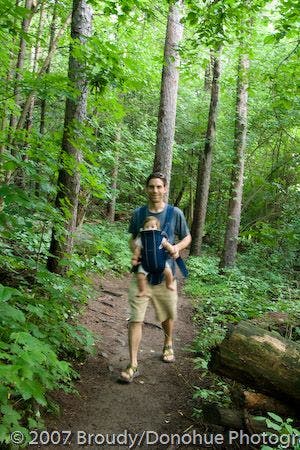
Into the Woods
Location: 44.2804121, -73.2175362
Devil’s Chair Trail Junction
Location: 44.2801202, -73.2178152
Rocks on Devil’s Chair Trail
Location: 44.2800204, -73.2181263
Devil’s Chair
Location: 44.278776, -73.2185769
Lake Champlain
Location: 44.2777697, -73.2170212
Summit view across Lake Champlain
Location: 44.2780539, -73.2153797
Visual Guide to Summit Views
Location: 44.2783458, -73.2147789