Burlington, VT: Camels Hump Loop

Several routes promise access to this 4,083-foot highpoint in the Green Mountains, also labeled the third tallest peak in Vermont. This 4.9-mile loop approaches Camels Hump via the south ridgeline then returns by descending west (near Bald Mountain) then south back to the trailhead.
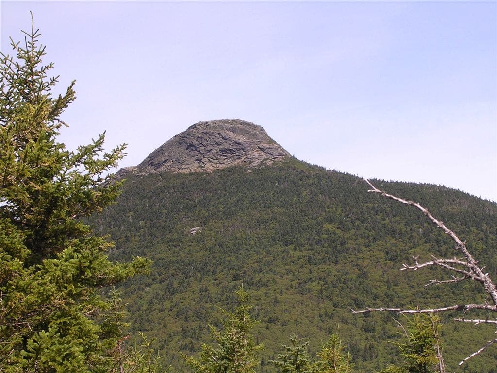
Over the course of 2,200 feet, the hike transitions from mixed forest to red spruce to fragile alpine tundra where plants often found in higher mountain ranges—like the Rockies—grow. The final climb is steep and somewhat exposed as the trail traverses up the distinctive bare rock hump. On the top, clear days deliver panoramic views to the Adirondacks, past Lake Champlain, and over to Mount Washington, the tallest peak in New Hampshire.
-Mapped by Trung Q. Le


Trail Facts
- Distance: 8.3
Waypoints
CHL001
Location: 44.304878, -72.907837
The trailhead is located at the West end of the parking area. To start the counter-clockwise loop, take a right onto the Forest City Trail. To hike clockwise, start on the Burrows Trail, follow it to the Long Trail, and return west on the Forest City Trail. Hiking counter-clockwise, the steepest sections of the trail are on the way up, a better option for those who would rather avoid a knee-punishing descent.
CHL002
Location: 44.30397, -72.906319
Cross a small foot bridge over a running stream. On its approach the summit, the trail is consistently shaded by tree cover with relatively few opportunities for expansive views. Between here and Waypoint 4, the trail climbs steadily.
CHL003
Location: 44.301017, -72.882078
Take a left at the T-junction onto the Long Trail. A right will head toward Montclair Glen Lodge (approximately 0.25 mile south), a backpacker shelter along the Long Trail.
CHL004
Location: 44.302752, -72.882346
Continue straight on the Long Trail as it veers left at the Y-junction with the Dean Trail (which can be used in conjunction with the Monroe Trail to reach the Camels Hump). At this point, the terrain becomes more varied, as the trail traverses large, smoothed-out boulders at various points. No technical climbing is required.
CHL005
Location: 44.305025, -72.882249
Look north for a view of Camels Hump through the trees.
CHL006
Location: 44.318748, -72.88707
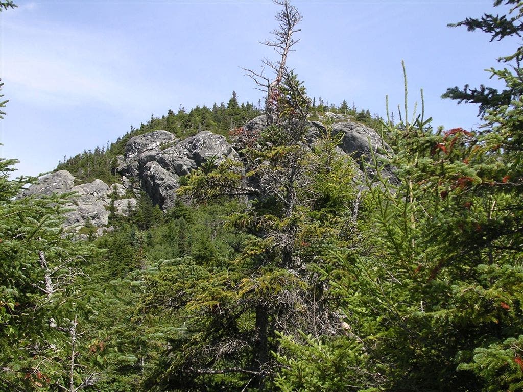
Continue straight at the 3-way junction on the Long Trail. To the right is the Alpine Trail which bisects the Monroe Trail. From here to the summit there are a few switchbacks, and the trail actually hugs the summit block and traverses around it. This terrain is not extremely steep or technical, but there is a bit of exposure with 50-foot drops beckoning below at spots. At this point the trail is above the tree line and there are decent views of the surrounding area.
CHL007
Location: 44.319611, -72.886283
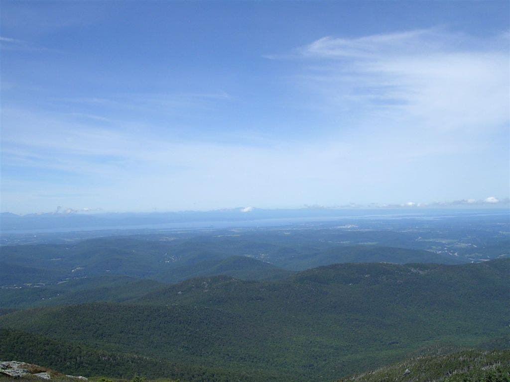
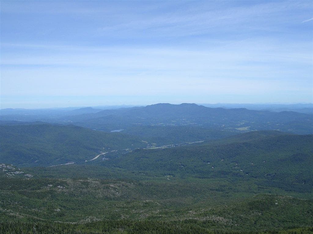
Camels Hump (4,083 feet). The top of the hump is flat and wide and can easily be ascended. Look west for views of Lake Champlain, as well as the Adirondacks and New York State (on clear days). To the east, New Hampshire’s Mount Washington can be seen on a clear day. To the north is Mount Mansfield. The Long Trail is clearly marked on the summit with a white stripe on the ground. Follow the stripe from the summit towards the intersection with the Burrows Trail.
CHL008
Location: 44.32188, -72.885651
Left onto Burrows Trail. Pass the Monroe trail junction and continue twenty feet down the trail to the Y-junction with the Burrows Trail and turn left. The Long Trail continues straight. The first 0.5 mile of the descent is fairly steep, but the grade soon tapers off. Continue southwest on the Burrows Trail back towards the trailhead.
CHL009
Location: 44.306049, -72.905853
Take a break and enjoy the surrounding trees and the running streams at a trailside bench near the trailhead. Continue on the Burrows Trail back to the parking lot.
Camel’s Hump ahead
Location: 44.305056, -72.882046
View from the Long Trail
Rocky outcropping
Location: 44.31284, -72.885554
Near the summit, the trail traverses around rocky outcroppings like this one.
View to the west
Location: 44.319534, -72.887657
View of Lake Champlain and the Adirondacks in New York.
Mt. Mansfield view
Location: 44.320317, -72.887013
View of Mt. Mansfield to the North