Bozeman: The Sentinel via Windy Pass Trail

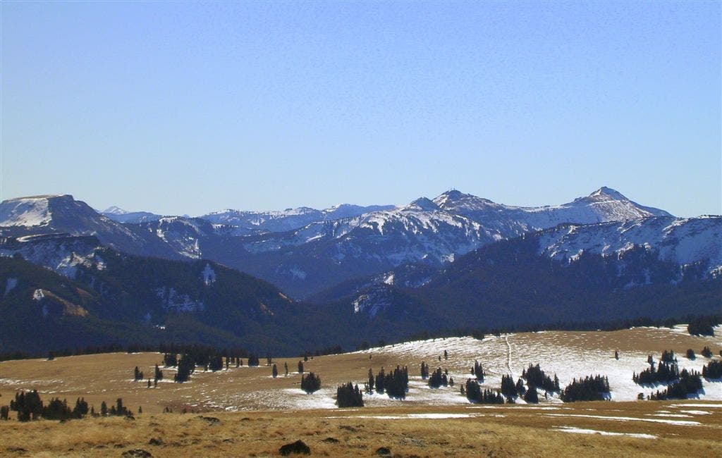
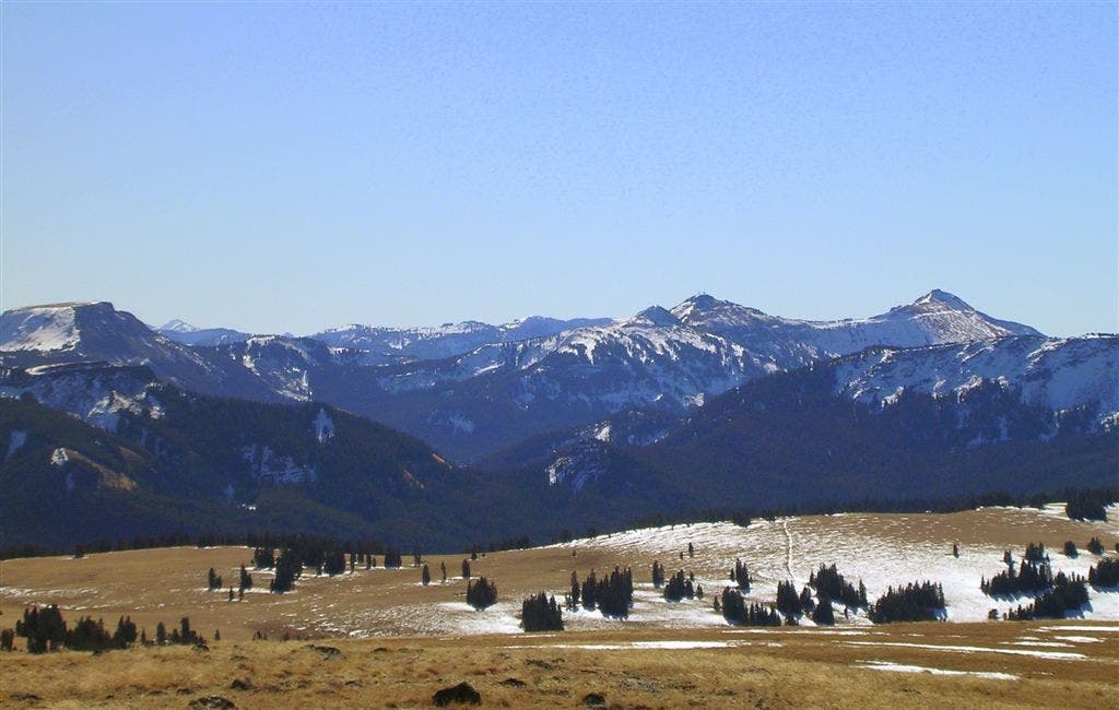
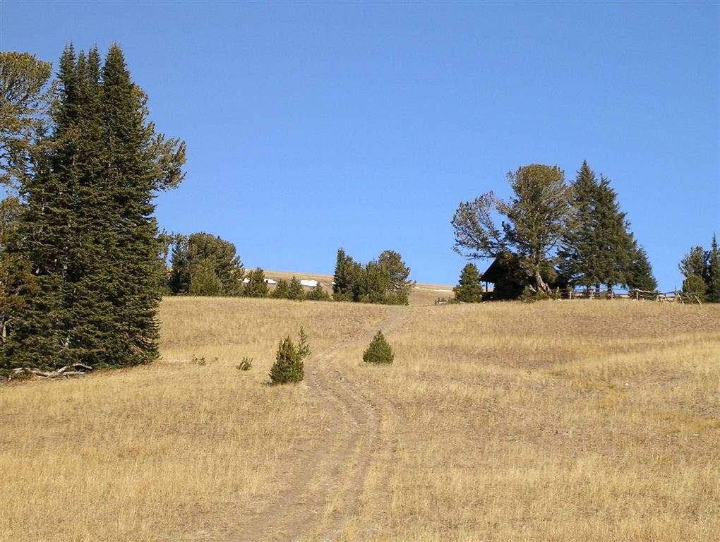
From the east end of the parking lot, follow Windy Pass Trail to the east (ignore the logging road, also labeled as Windy Pass Trailhead). The forested path descends to the right, curving down to a gentle mountain creek; cross the creek on rocks, then continue heading east. After 1.2 miles, a moderate climb begins through dense forest. Roughly half a mile later, bear left at a Y-junction and climb into alpine meadows, passing the rustic Windy Pass Cabin. Just past the cabin, bear right at another trail fork and climb the broadly sloping ridge that rises to the north. Stop every now and then to admire the snow-brushed Spanish Peaks to the northwest.
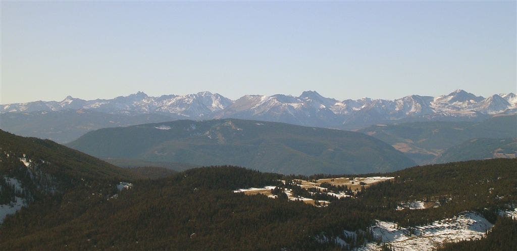
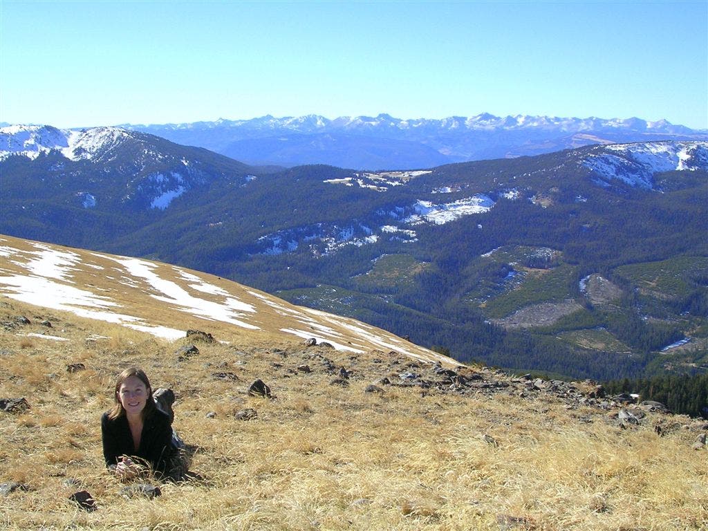
Less than 3 miles into the hike, the route crests the top of the ridge and veers to the northwest. As you gradually ascend through meadows riotous with wildflowers, neighboring peaks come closer to eye level and unobstructed views of the rugged Gallatin Range fill up the horizon. The trail curves to the northeast near mile 4 for the final, 1-mile stretch to The Sentinel’s 9,945-foot summit. Drop your pack at the top and gaze at the mountains that stretch for miles around this boot-shaped peak. Follow the same route back to the trailhead.
-Mapped by Trung Q. Le
Trail Facts
- Distance: 16.1
Waypoints
SEN001
Location: 45.2583345, -111.1272669
Follow Windy Pass Trail, starting from the east end of the lot (don’t confuse with gravel logging road on the south end, also labeled Windy Pass Trailhead).
SEN002
Location: 45.2583345, -111.1250997
Forested path descends to the right, curving down to a gentle mountain creek; use rocks as stepping-stones to cross.
SEN003
Location: 45.2603736, -111.1116242
Moderate climb through dense forest.
SEN004
Location: 45.2623521, -111.1025906
Bear left @ Y; trail climbs into alpine meadows.
SEN005
Location: 45.2650858, -111.1014748
Pass rustic Windy Pass Cabin; bear right @ Y toward The Sentinel.
SEN006
Location: 45.2703563, -111.095767
Stop and admire the snow-brushed Spanish Peaks to the northwest.
SEN007
Location: 45.2738596, -111.0945225
Bear left @ Y; unobstructed views of rugged Gallatin Range.
SEN008
Location: 45.2782234, -111.0990286
Ascend gradually through meadows riotous with wildflowers, as neighboring peaks come closer to eye level.
SEN009
Location: 45.2824208, -111.1039639
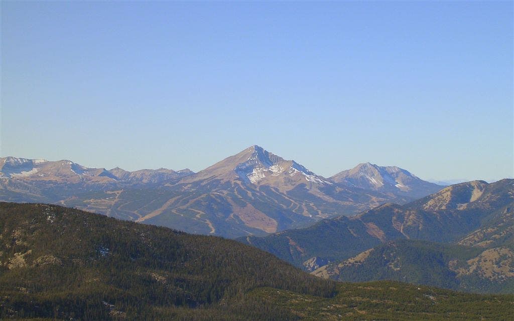
Viewed from an unnamed peak, The Sentinel dominates the northeast skyline; in other directions, see a galaxy of stunning peaks.
SEN010
Location: 45.2910108, -111.1027622
Trail curves to the northeast; only 1 mile remains of gradual ridgeline climb.
SEN011
Location: 45.2979091, -111.0907459
More mountains stretch for miles around The Sentinel’s boot-shaped peak (9,945 ft.). Yellowstone National Park sits to the south.
Snowy Peaks
Location: 45.2786009, -111.0996294
©Trung Q. Le
Windy Pass Cabin
Location: 45.2651009, -111.1012387
©Trung Q. Le
Distant Peaks
Location: 45.2757169, -111.0963035
©Trung Q. Le
Expansive Views
Location: 45.2769551, -111.0973978
©Trung Q. Le
Lone Mountain
Location: 45.2777553, -111.0982561
©Trung Q. Le