Heading out the door? Read this article on the new Outside+ app available now on iOS devices for members! Download the app.
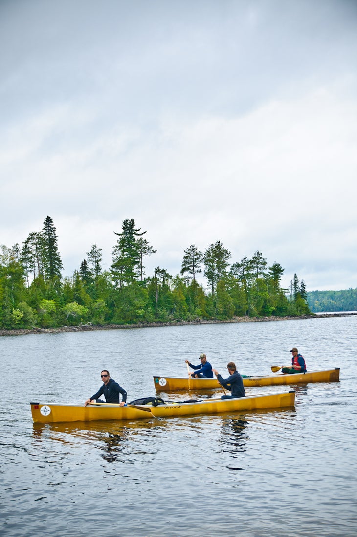
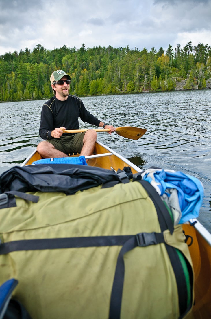
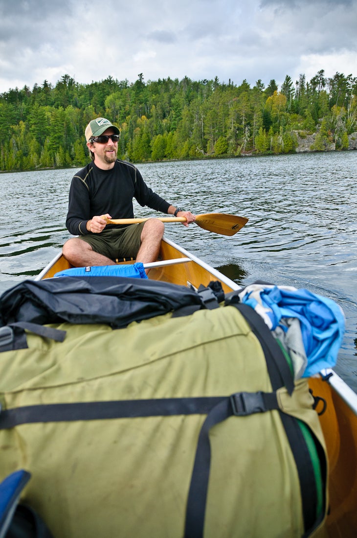
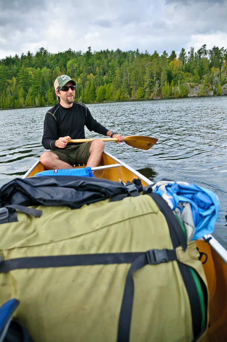
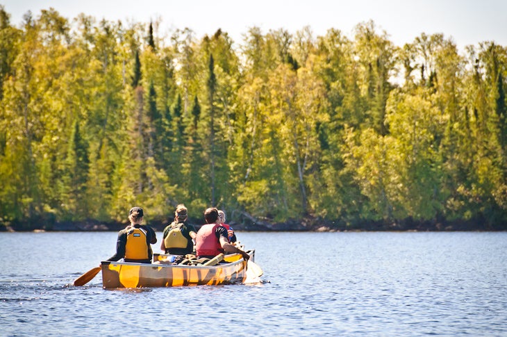
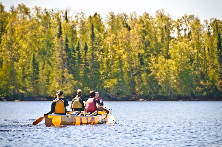
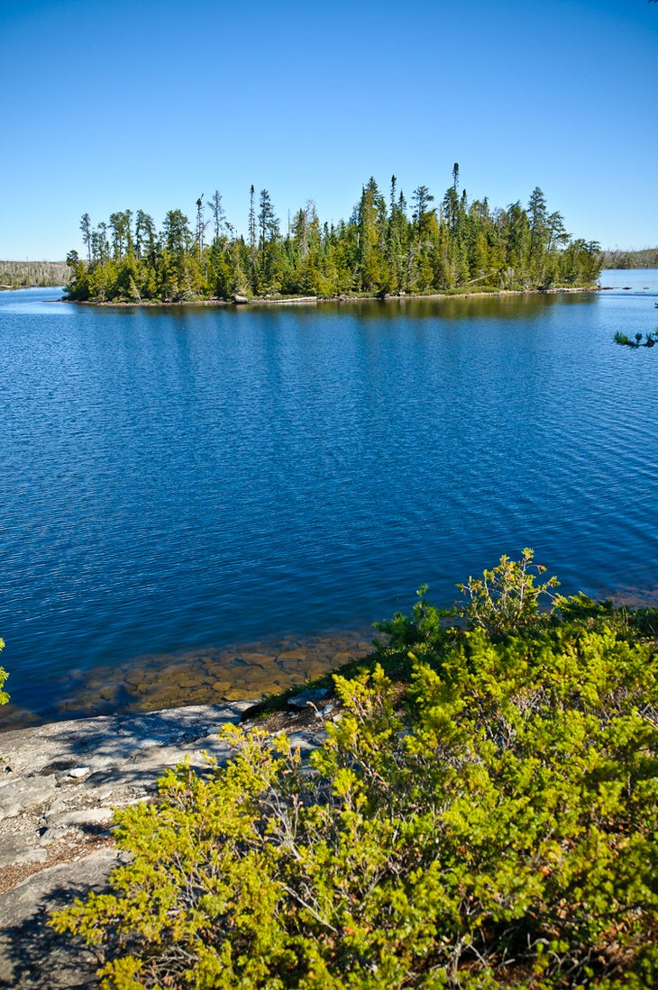
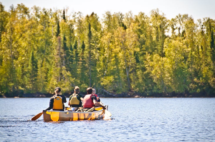
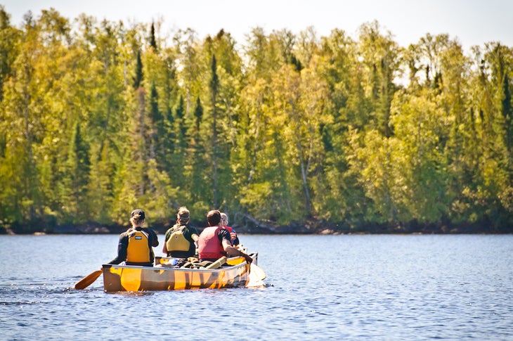
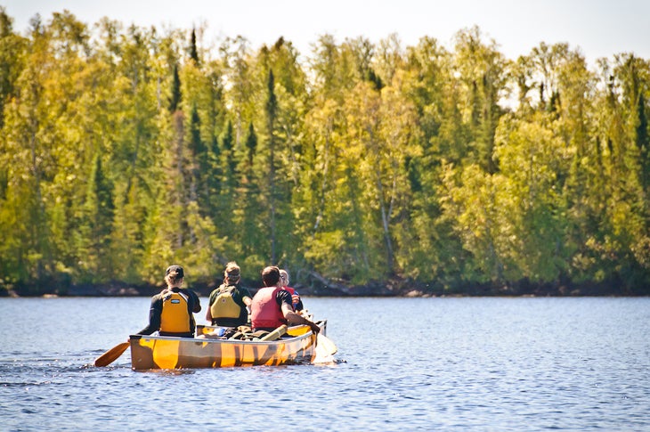
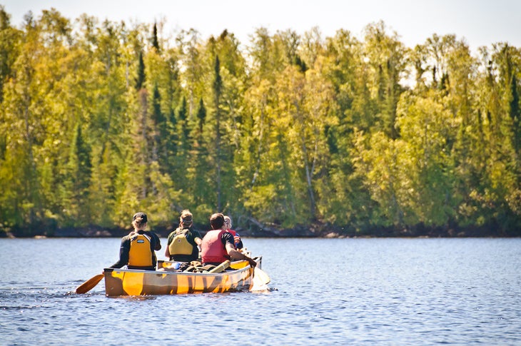
The prehistoric glaciers that chiseled and scoured northern Minnesota two million years ago created a paddler’s paradise: a vast network of crystalline lakes, backdropped by wooded hills and striking granite outcrops. In three days, link 23 of these lakes on a 35-mile point-to-point, less than two hours northwest of Grand Marais.
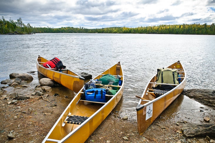
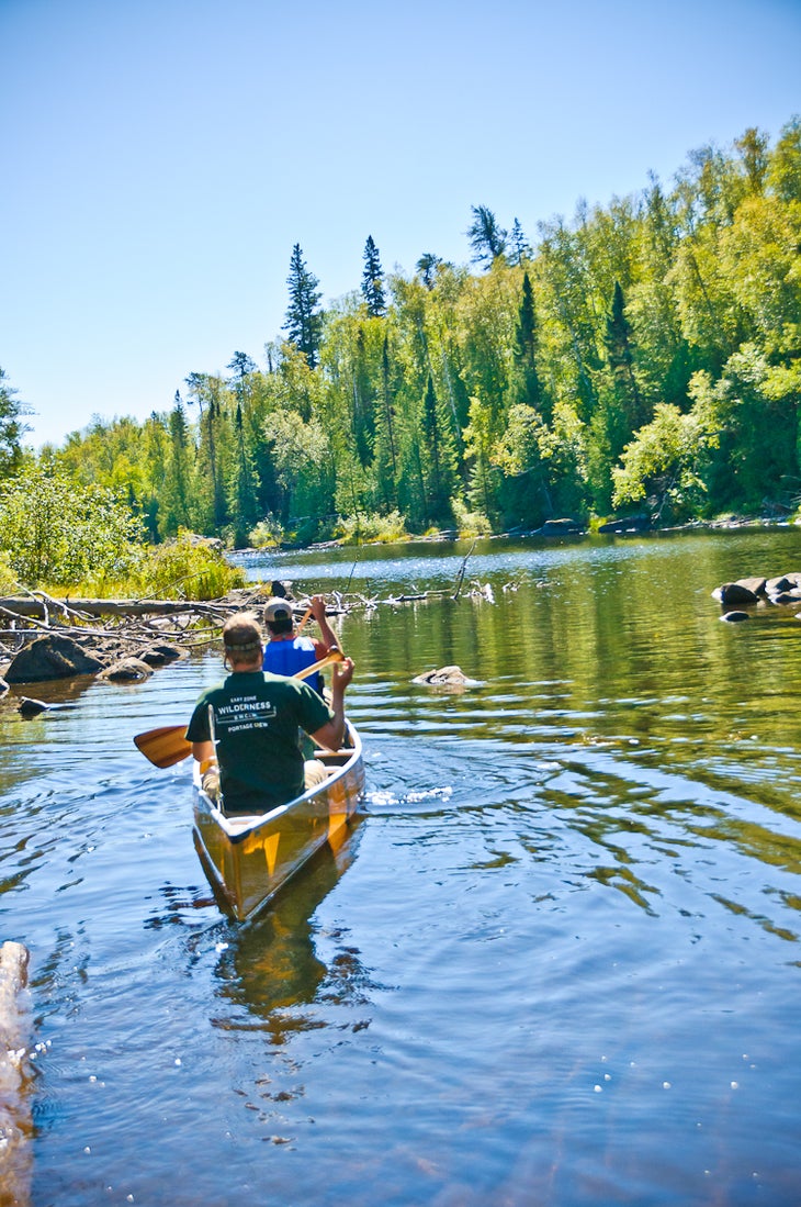
Start at Entry Point 55, and save half a day’s paddle with a seven-mile towboat ride across the sprawling, and sometimes wave-riddled, expanse of Saganaga Lake to the aptly named Rocky Point. Board your canoe at the drop-off, and point the bow southwest through Sag’s northwest arm (hug the left-hand shoreline to stay within the U.S.).
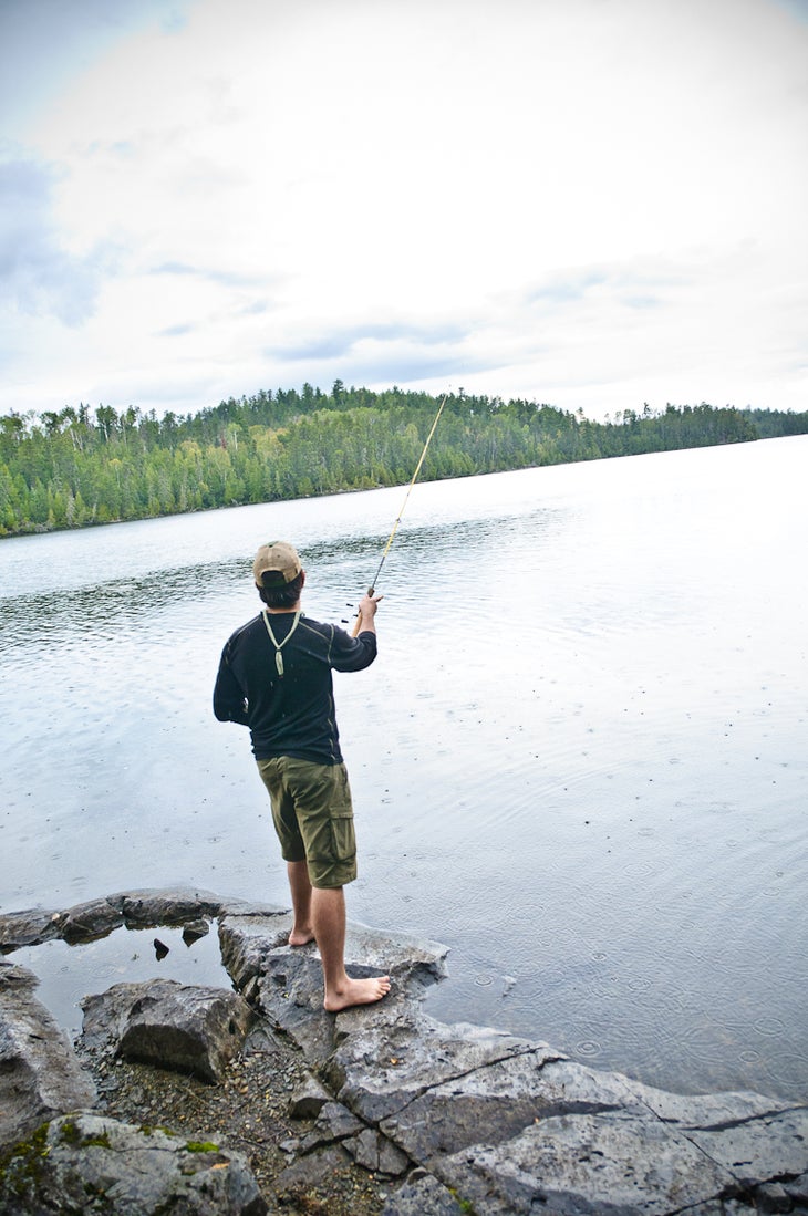
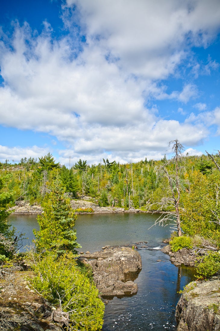
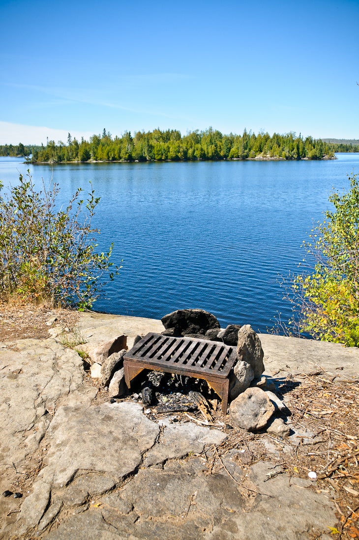
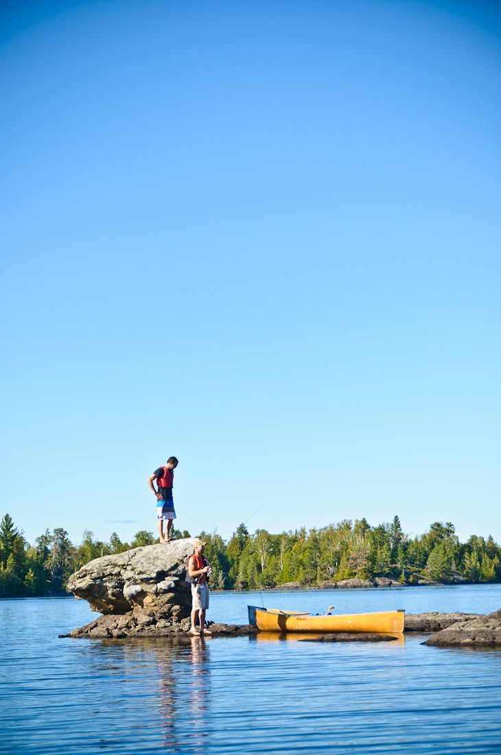
After two quick portages, cut southwest across Ottertrack, a narrow border lake with easy-to-hook walleye and northern pike. Next, string together Ester, Hanson, and South Arm Knife, a chain of pristine, high-elevation lakes ringed by granite bluffs and thick stands of white pine—giant cedars also flourish along the Hanson-to-South Arm Knife portage. At mile 12, beach your canoe and spend the night at a forested campsite tucked in one of South Arm Knife’s quiet coves.
Day two: Paddle 1.4 miles south-southwest to a short, 500-foot portage that parallels Eddy Falls, a cascading stream that pours down mossy boulders. Five lakes (Eddy, Jenny, Annie, Ogishkemuncie, and Mueller) and four portages later, stash your canoe along the Mueller-to-Agamok portage, and turn left on the Kekekabic Trail for a .3-mile out-and-back to a wooden bridge that spans a 20-foot-deep gorge.
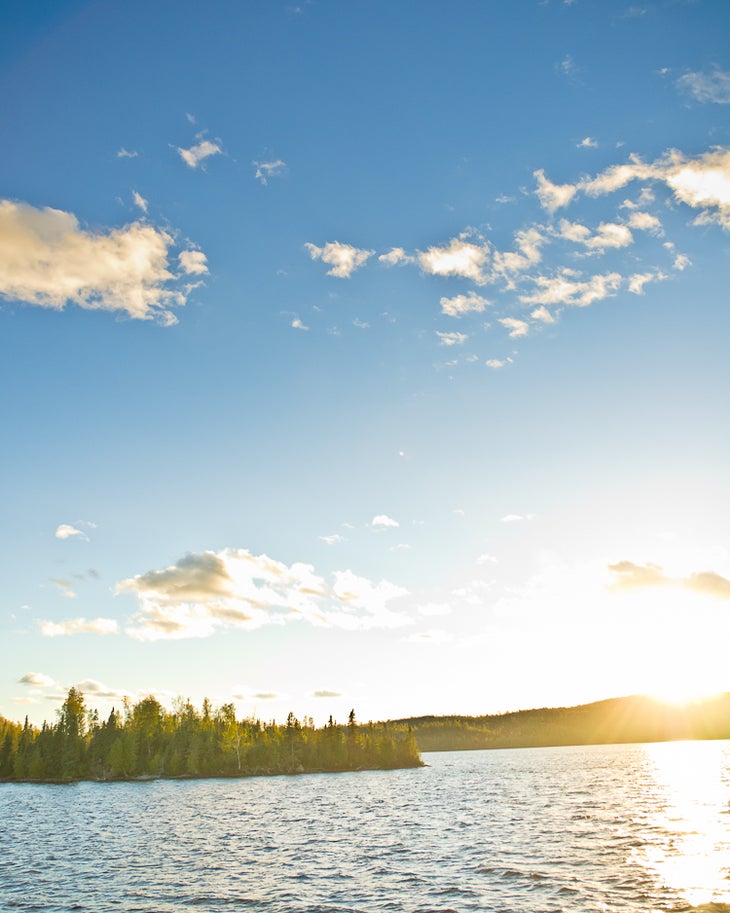
Near mile 20, dip your paddle into 209-foot-deep Gabimichigami, one of the deepest lakes in Minnesota—and home to northern pike and lake trout (caution: Gabi has few islands to offer protection on windy days). Steer your boat southeast to Rattle Lake, then to Little Saganaga, where you’ll spend the second night camped on a 15-foot-high, west-facing bluff with prime sunset views.
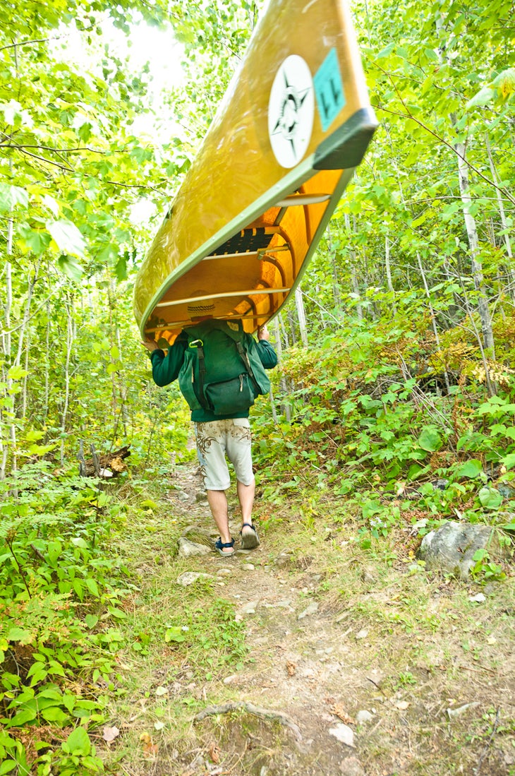
On the last day, canoe through the eastern fringes of Little Sag, before crossing five more lakes and portages. Near mile 32, tackle the longest portage of the trip (1.3 miles), which connects Tuscarora and Missing Link Lakes. After a half-mile paddle through Missing Link, portage into Round Lake for the .7-mile stretch north to the take-out point. Shuttle back to Saganaga Lake.
Permit: Required; $16 user fee/person. Reservations recommended. Pick up permit the day before, or the day of entry.
Map: Voyageur Maps #6 (Saganaga Lake, Sea Gull Lake, Knife Lake, and vicinity); $10; voyageurmaps.com
Lakes: Saganaga, Swamp, Ottertrack, Ester, Hanson, South Arm Knife, Eddy, Jenny, Annie, Ogish, Mueller, Agamok, Gabi, Rattle, Little Saganaga, Mora, Tarry, Crooked, Owl, Tuscarora, Wish, Missing Link, Round
Contact: Superior National Forest, (218) 626-4300; fs.usda.gov/superior
Gear Up: Get canoe rentals, maps, fishing licenses, and towboat rides at Voyageur Canoe Outfitters, 189 Sag Lake Trail, Grand Marais, MN; (218) 388-2224; canoeit.com
-Mapped by Kim Phillips
TO TRAILHEAD: Put-in: From Grand Marais, drive north on CR 12/Gunflint Trail for 53 miles. Turn right on CR 11/Sag Lake Trail. Go .9 mile to parking on the right.
Take-out: From Grand Marais, drive north on CR 12/Gunflint Trail for 45 miles. Turn left on CR 47/Round Lake Rd. Go .7 mile to parking.
Trail Facts
- Distance: 73.5
Waypoints
Voyageur Canoe Outfitters
Location: 48.171856, -90.889809
http://www.canoeit.com
BND001
Location: 48.171403, -90.886604
The trip begins at this boat ramp on Sag Lake Trail/CR 11. From here, paddle north into the sometimes wave-riddled expanse of Saganaga Lake and turn left (west) at Clark Island. Save yourself this 7.2-mile stretch (at least half a day’s paddle) by getting a tow to Rocky Point or American Point. Caution: Know the weather forecast and have an alternate route planned in the event of bad weather. If it’s windy, you may have to wait out the weather.
BND002
Location: 48.217846, -90.958661
Board your canoe on this small island just north of American Point. Next, paddle northwest, then southwest along the US-Canadian border. Hug the shores to the left to stay in the U.S. (You need a Remote Area Border Crossing Permit to enter Canada.)
BND003
Location: 48.20195, -91.002833
Paddle south through this tight spot.
BND004
Location: 48.193785, -91.01658
Paddle northwest, then south around the point.
BND005
Location: 48.189852, -91.035569
During high water, you can paddle through this area. Otherwise, it’s a roughly 10-foot pullover.
BND006
Location: 48.188948, -91.047836
Monument Portage (78 rods): Named for the tall, silver magnesium poles that mark the U.S.-Canadian border.
BND007
Location: 48.178736, -91.07396
Potential campsite: Located up on a wooded point. Fish for walleye, northern pike, and lake trout off of the point.
BND008
Location: 48.179163, -91.064015
Portage (a rocky uphill stretch, followed by a rocky downhill). Next: Paddle south through a chain of pristine, high-elevation lakes (Ester, Hanson, and South Arm Knife) ringed by granite bluffs and thick stands of white pine.
BND009
Location: 48.15079, -91.072357
Paddle through a narrow passage with shallow water.
BND010
Location: 48.141745, -91.084594
Campsite: Good spot for lunch. Paddle south to portage.
BND011
Location: 48.1285, -91.091
Massive, old-growth cedars line this portage.
BND012
Location: 48.120275, -91.098343
Arrive at another potential campsite here.
BND014
Location: 48.116287, -91.115316
Campsite: This site is located in a small bay and backed by a wooded hill. Next day: Paddle south across South Arm Knife Lake.
BND015
Location: 48.105365, -91.12035
South Arm Knife Lake: Point bow into the waves on windy days to avoid being broadside to the waves.
BND016
Location: 48.097468, -91.122156
This short, 500-foot portage parallels Eddy Falls, a cascading stream that pours down mossy boulders. From the falls, you can look down onto South Arm Knife Lake. Note: Older maps show portages that connect South Arm Knife to Ogish through Nove, Nobek, Holt, etc. Don’t follow them; they have not been maintained for 20+ years.
BND017
Location: 48.091592, -91.107355
Portage
BND018
Location: 48.084356, -91.102303
Portage
BND019
Location: 48.08295, -91.093452
Short portage, followed by a long stretch east across Ogishkemuncie. This lake is a popular place to camp.
BND020
Location: 48.085466, -91.079218
Although it’s wise to filter all your water, local paddlers have been known to dip their bottles in these deep, pristine lakes for refills.
BND021
Location: 48.085331, -91.063123
Portage into Mueller Lake.
BND022
Location: 48.082613, -91.057773
This is a good lunch spot on the rocks, near a campsite.
BND023
Location: 48.080187, -91.051057
Portage. Continue south.
BND024
Location: 48.0776, -91.051839
Optional hike: Turn left on the Kekekabic Trail for a short, 0.3 mile out-and-back to a bridge that spans a 20-foot-deep gorge. The timber for the bridge was hauled in by dogsled during the winter and built in the summer by rangers. Built in the 1930s, the Kekekabic Trail was used as an access trail for firefighters.
BND025
Location: 48.078438, -91.049256
Stand on this narrow, wooden bridge for views into a shallow gorge. A waterfall pours down rocks to the south.
BND026
Location: 48.075227, -91.051486
Paddle south. Watch out for shallow stretches of water; there are rocks near the surface.
BND027
Location: 48.070535, -91.037997
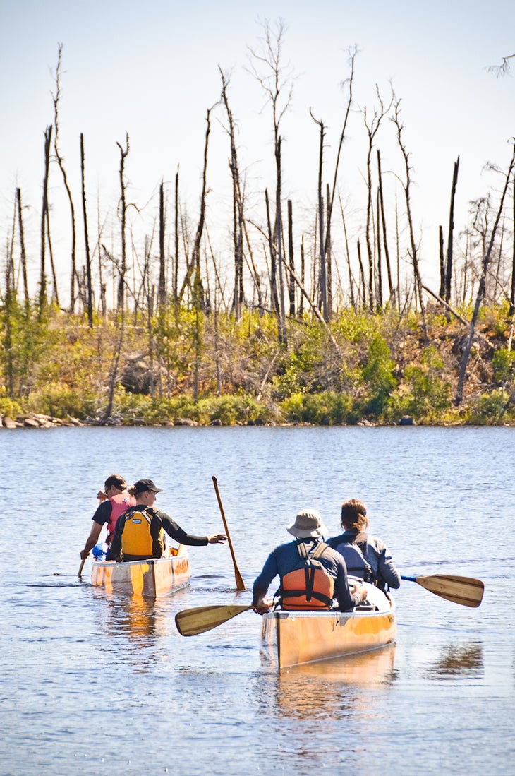
Here, the landscape blackens due to the Cavity Lake Fire burn area.
BND028
Location: 48.069149, -91.029565
Portage
BND029
Location: 48.067414, -91.027564
Cross Gabimichigami, one of the deepest lakes in Minnesota, and home to northern pike and lake trout. Caution: A little wind goes a long way on this deep lake, and there are few islands to offer protection.
BND030
Location: 48.061991, -91.010914
Potential campsite on Gabi Lake
BND031
Location: 48.062848, -91.009081
Potential campsite on Gabi Lake
BND032
Location: 48.056631, -91.016904
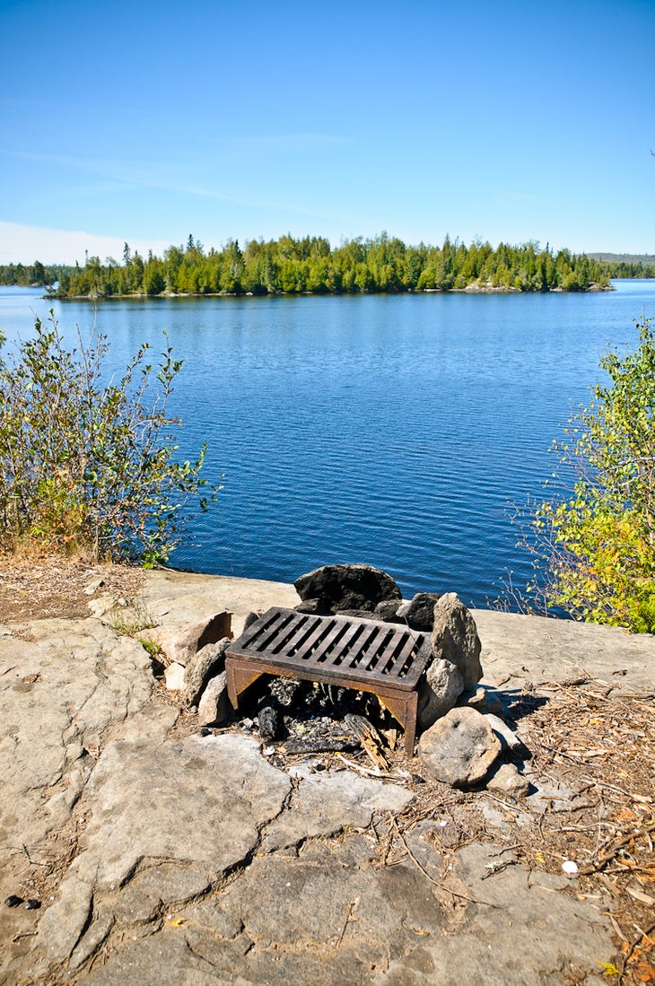
Set up camp here: perched on a bluff, this picturesque site offers postcard views of Gabimichigami Lake.
BND033
Location: 48.054551, -91.009535
Portage
BND034
Location: 48.049778, -91.009813
Portage through the burn area. There are several old traps off to the side of the portage.
BND035
Location: 48.033791, -91.000582
Pass by an island of rock with trees several trees growing on it.
BND036
Location: 48.028821, -90.993169
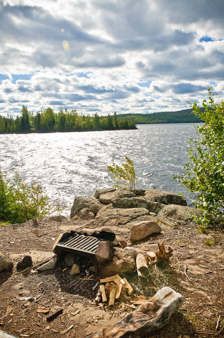
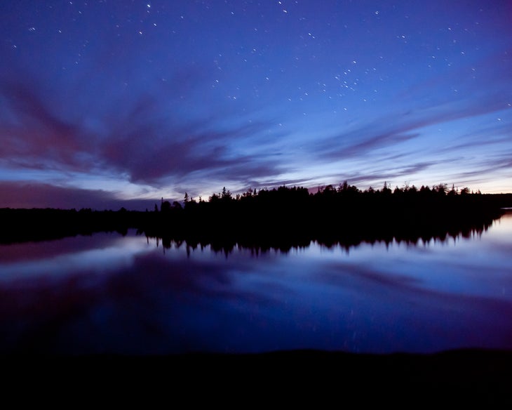
Little Sag campsite: Spend the night camped on a 15-foot-high, west-facing bluff with prime sunset views. Optional: Cast for northern pike and lake trout on a 3.9-mile loop (see FSH001-FSH006).
BND037
Location: 48.022367, -90.959821
Pull up to the earth and log dock and portage into Mora Lake.
BND038
Location: 48.020301, -90.954954
Paddle east through a narrow section of Mora Lake.
BND039
Location: 48.023283, -90.935562
Look for bald eagles sitting in the blackened trees. Caution: This area is narrow and shallow; watch out for submerged logs ahead.
BND040
Location: 48.026574, -90.933446
Portage: 5 rods
BND041
Location: 48.032472, -90.929695
Portage: 50 rods
BND042
Location: 48.034553, -90.928833
Paddle east, then north, then east through Crooked Lake.
BND043
Location: 48.041769, -90.917394
Portage into Owl Lake.
BND044
Location: 48.039568, -90.904683
A partially submerged rock slab makes a good spot to eat lunch.
BND045
Location: 48.039624, -90.903836
Portage
BND046
Location: 48.0393, -90.899421
Tuscarora can get really windy. Paddle carefully, heading east, then northeast.
BND047
Location: 48.040774, -90.889473
Potential campsite
BND048
Location: 48.037433, -90.882995
A campsite is located at the tip of this small bay.
BND049
Location: 48.046272, -90.867081
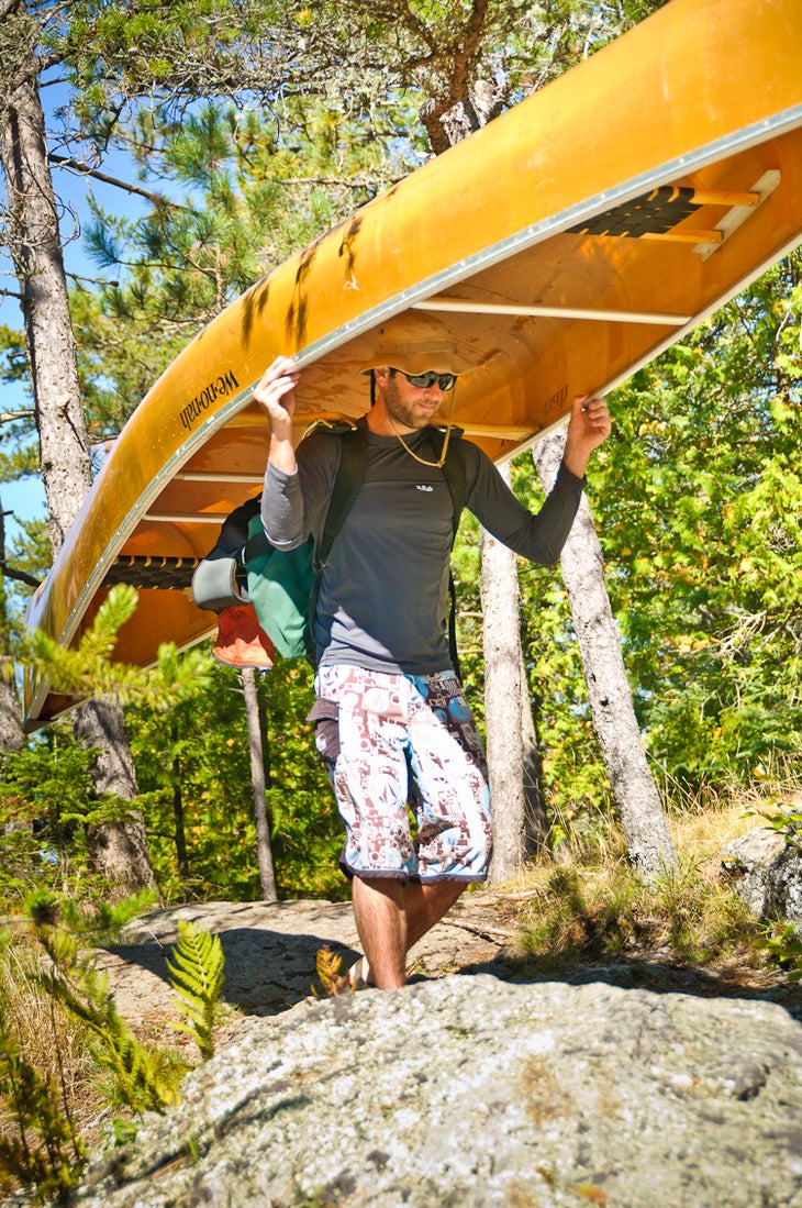
Portage: 428 rods. Prepare for the longest portage of the trip (1.3 miles). Tip: Do this in a single portage to save time.
BND050
Location: 48.060873, -90.848652
The last portage of the trip is 138 rods and leads to Round Lake.
BND051
Location: 48.065866, -90.842847
Head to the northern tip of Round Lake to find the dock.
BND052
Location: 48.07464, -90.837163
Take-out canoe at this dock. The parking area is just north of this point. Shuttle back to the put-in point.
FSH001
Location: 48.028383, -90.993501
Fishing Loop: Paddle south from the campsite and explore the small coves.
FSH002
Location: 48.024893, -90.997396
Continue heading west.
FSH003
Location: 48.023796, -91.007328
A Forest Service cabin is located on the northern edge of this tiny island.
FSH004
Location: 48.02274, -91.018939
Point bow north.
FSH005
Location: 48.028997, -91.018875
Turn your canoe east at this rocky slab.
FSH006
Location: 48.030403, -91.000829
Turn right between these two islands to return to the campsite.
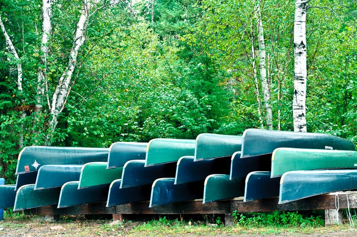
Canoes at Voyageur Canoe Outfitters
Location: 48.171867, -90.889506
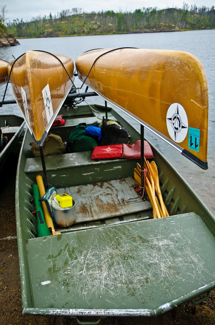
Towboat Ride
Location: 48.171438, -90.886288
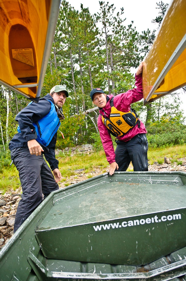
Unloading canoes at Rocky Point
Location: 48.218089, -90.95875
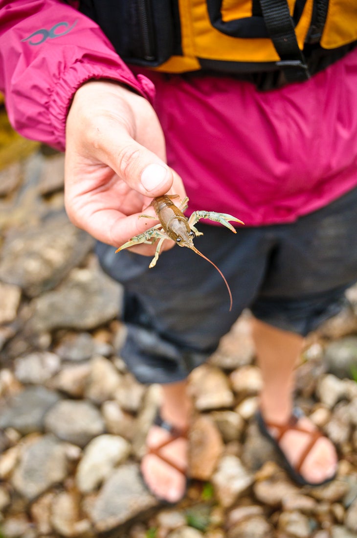
Rocky Point Wildlife
Location: 48.218028, -90.958707
Paddling through Sag’s Northwest Arm
Location: 48.214591, -90.974003
First Portage
Location: 48.189937, -91.036041
Swamp Lake
Location: 48.189866, -91.035826
Ottertrack Lake
Location: 48.182026, -91.06636
Ottertrack Lake
Location: 48.181654, -91.066489
Ottertrack Lake
Location: 48.181168, -91.066682
Ottertrack Lake
Location: 48.180753, -91.066854
Fishing for smallmouth bass
Location: 48.178836, -91.073613
Eddy Lake
Location: 48.096357, -91.121279
Views from the Kekekabic Trail
Location: 48.07844, -91.049364
Views from the Kekekabic Trail
Location: 48.078444, -91.049358
Mueller-Agamok Portage
Location: 48.077604, -91.051809
Campsite on Gabi Lake
Location: 48.056649, -91.017201
Campsite on Gabi Lake
Location: 48.056648, -91.016809
Gabimichigami Lake
Location: 48.05657, -91.017222
Burn area surrounding Little Sag
Location: 48.04886, -91.008748
Little Saganaga Lake
Location: 48.043534, -91.001023
Little Saganaga Lake
Location: 48.040451, -91.003759
Campsite on Little Sag
Location: 48.028739, -90.993132
View from the campsite on Little Sag
Location: 48.028739, -90.993132
Campsite on Little Sag
Location: 48.028681, -90.993378
Little Saganaga Lake
Location: 48.02876, -90.993351
Little Saganaga Lake
Location: 48.024871, -90.996783
Little Saganaga Lake
Location: 48.024422, -91.001964
Little Saganaga Lake
Location: 48.024466, -91.00557
Little Saganaga Lake
Location: 48.024406, -91.006481
Fishing on Little Saganaga Lake
Location: 48.024888, -91.017988
Little Saganaga Lake
Location: 48.029033, -91.018671
Sunset on Little Saganaga Lake
Location: 48.028896, -90.99327
Little Sag-Mora Portage
Location: 48.021115, -90.957752
Mora Lake
Location: 48.021088, -90.957726