Heading out the door? Read this article on the new Outside+ app available now on iOS devices for members! Download the app.
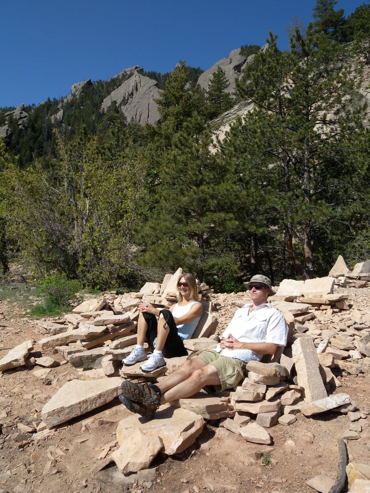
Woods Quarry is a little-visited gem in Chautauqua Park—Boulder’s backyard playground. This 2.9-mile clockwise loop hits the rock-littered quarry by following the McClintock Trail to the Enchanted Mesa and heading uphill to an old stone cabin just past the loop’s halfway point. The cabin marks the right turn at the base of the short, but steep, stair-step climb to the quarry. The quarry itself is an open shelf below a cliff face that is littered with rocks and a half-dozen hand-built chairs perfect for soaking up the view of the city below.
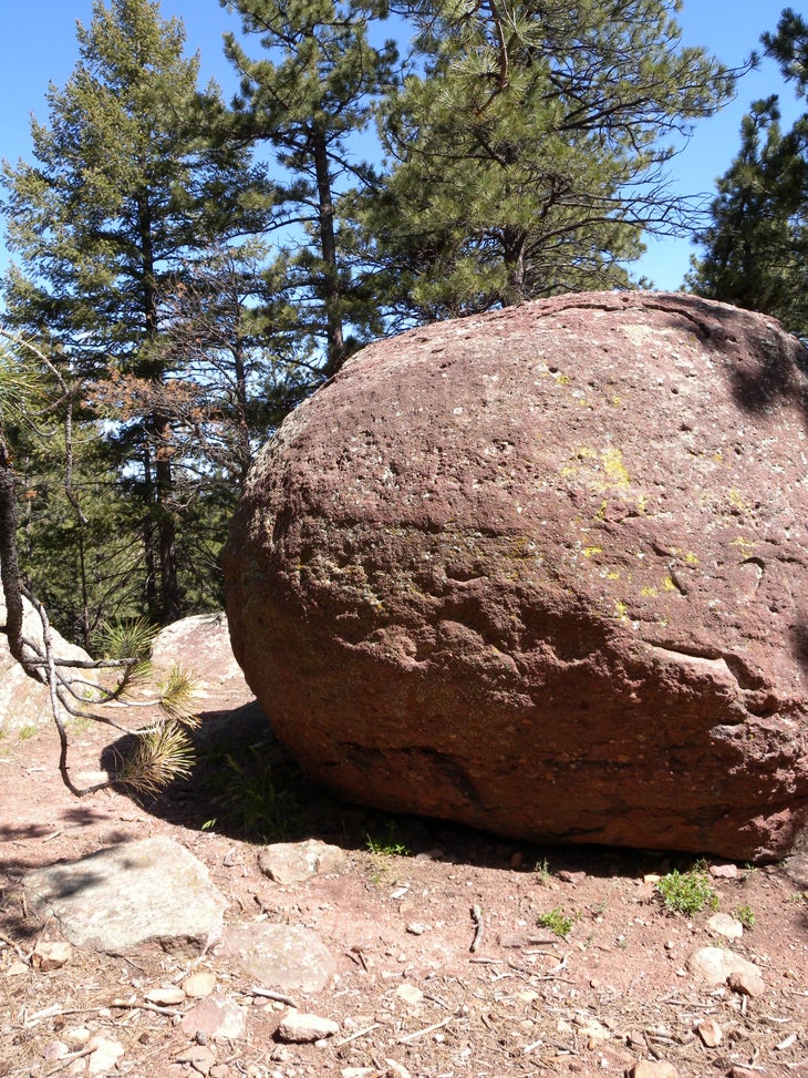
The return route follows the hillside north and descends 100 feet to an overlook of the Third Flatiron. Continuing downhill, you’ll pass a huge, lone boulder on the descent and rejoin the Mesa Trail at mile 2.1. The hard-packed path descends a few wooden steps and crosses a stream in Bluebell Canyon before joining a roughly-paved trail for an easy 0.5-mile downhill toward the trailhead.
-Mapped by Kristy Holland
Trail Facts
- Distance: 4.7
Waypoints
WDQ001
Location: 39.998881, -105.2823257
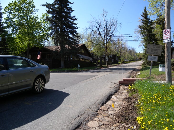
This route begins at the main Chautauqua parking lot and heads east past the dining hall and auditorium to the beginning of the McClintock Trail (where you may find limited parking as well).
WDQ002
Location: 39.9972434, -105.2801156
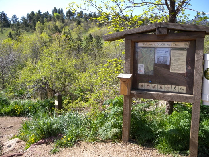
Follow the McClintock Trail south from the map kiosk and picnic shelter. Cross a small bridge up ahead and stay right at the trail junction a few hundred feet from here.
WDQ003
Location: 39.9951064, -105.2813816
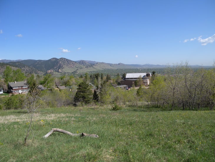
Turn left onto the Enchanted Mesa and look left as you turn up the wide, dirt path. You’ll catch views of Mount Sanitas and the north Boulder foothills as you climb.
WDQ004
Location: 39.9885912, -105.2823276
Stay straight on the main trail, bypassing the singletrack Kohler Mesa connector.
WDQ005
Location: 39.9875749, -105.2855819
You can follow either trail to the quarry at this elongated 4-way junction, marked by a map kiosk. This route turns left on the smaller trail heading south. It’s a little rockier and steeper up ahead than the old road-grade trail you’ve been climbing on to this point.
WDQ006
Location: 39.9856412, -105.2858824
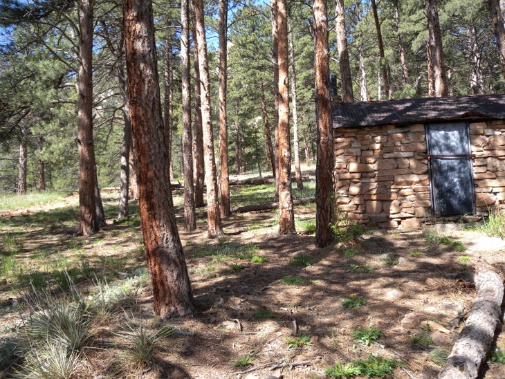
An old stone cabin marks the right-hand turn toward the quarry. The incline increases even more and you’ll be climbing steps as you approach it.
WDQ007
Location: 39.9853082, -105.2881622
Turn left @ 4-way junction for the 100-foot out-and-back to the reclining chairs at the site of the now-defunct Woods Quarry. After taking in the views from the hand-built chairs, take the small left-hand trail that leads uphill.
WDQ008
Location: 39.9873962, -105.2885377
The loop continues with a right turn at this T-junction onto a small trail along the ridge. Before continuing toward the main trail, take a 50-foot detour to the left to a secluded flat spot offering an amazing view of the Third Flatiron.
WDQ009
Location: 39.9899034, -105.2850938
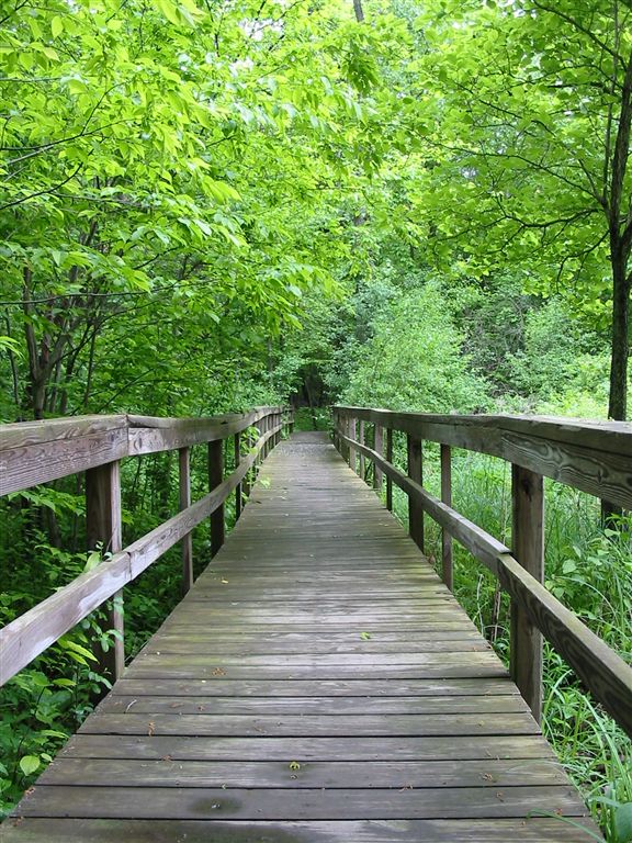
Turn left on the wide trail (bypass the McClintock Trail connector on your right). Descend a series of steps to cross a small bridge in Bluebell Canyon.
WDQ010
Location: 39.9916675, -105.2853386
There is a toilet and map kiosk at this junction with Bluebell Road, one of Chautauqua’s most popular trails. Follow it downhill to the visitor center and parking lot.
Stone Recliners at Woods Quarry
Location: 39.9849219, -105.2884197
The city spreads out below these hand-built stone recliners at the old quarry site. You’ll likely find others lounging here in the early morning, too.
Beginning
Location: 39.9987454, -105.282315
Watch for cars as you pass the dining hall.
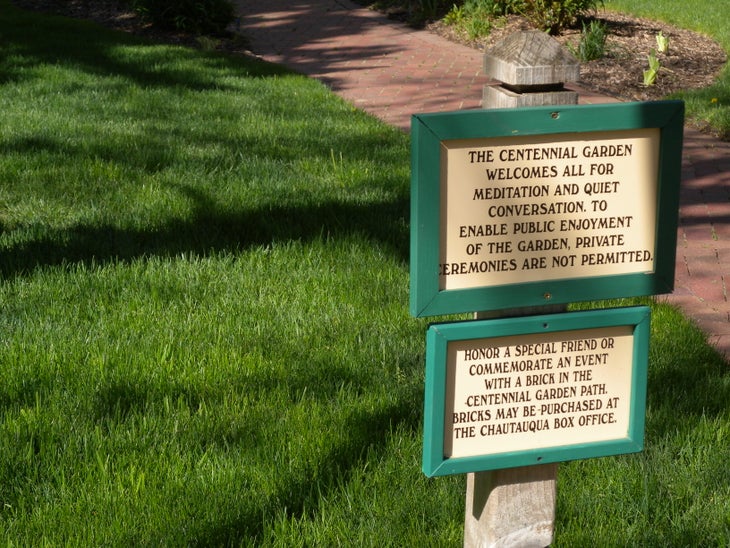
Centennial Garden
Location: 39.9981475, -105.2804267
Look for the names of park supporters and friends on the brick path in Centennial Garden.
Kiosk
Location: 39.9972475, -105.2800673
The trail heads south from this map kiosk at the McClintock Trailhead. Pass this sign on your right.
North Foothills
Location: 39.99569, -105.2791607
Look left for this view from Enchanted Mesa.
Rugged Path
Location: 39.9866811, -105.2861667
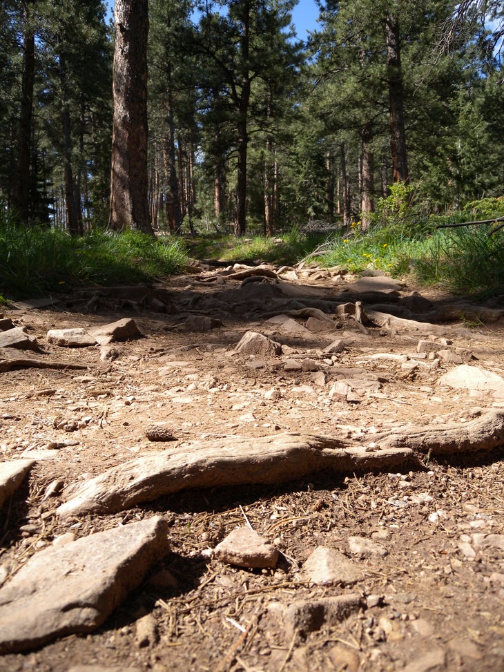
Though much of the trail is wide and easy, roots and rocks will slow down runners on this stretch of uphill trail and a stretch up ahead has some big steps to navigate.
Cabin
Location: 39.9856453, -105.2858287
This small stone structure near the trail is a good landmark for the right turn toward the quarry.
Overlook
Location: 39.987388, -105.288409
Boulder
Location: 39.9891882, -105.2860487
Sign
Location: 39.9900595, -105.2856088
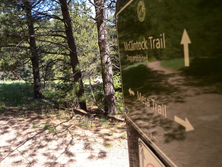
The trail is well-marked and it’s difficult to get lost.
Bridge
Location: 39.9902733, -105.2869928
Look for small blue butterflies near this bridge over Bluebell Creek.
Bluebell Road
Location: 39.9935612, -105.2833986
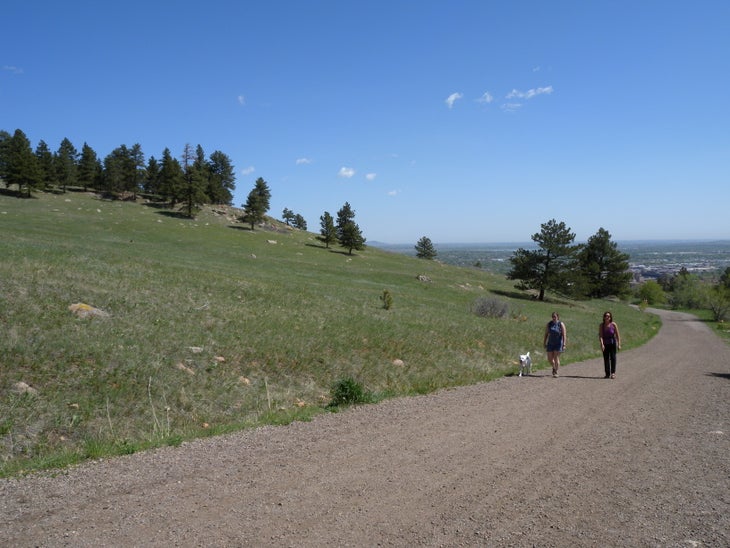
The final stretch of trail offers views of Boulder. As you approach the visitor center, it’s likely this will be your most crowded section of trail.