Boulder, CO: Taylor Mountain Pond

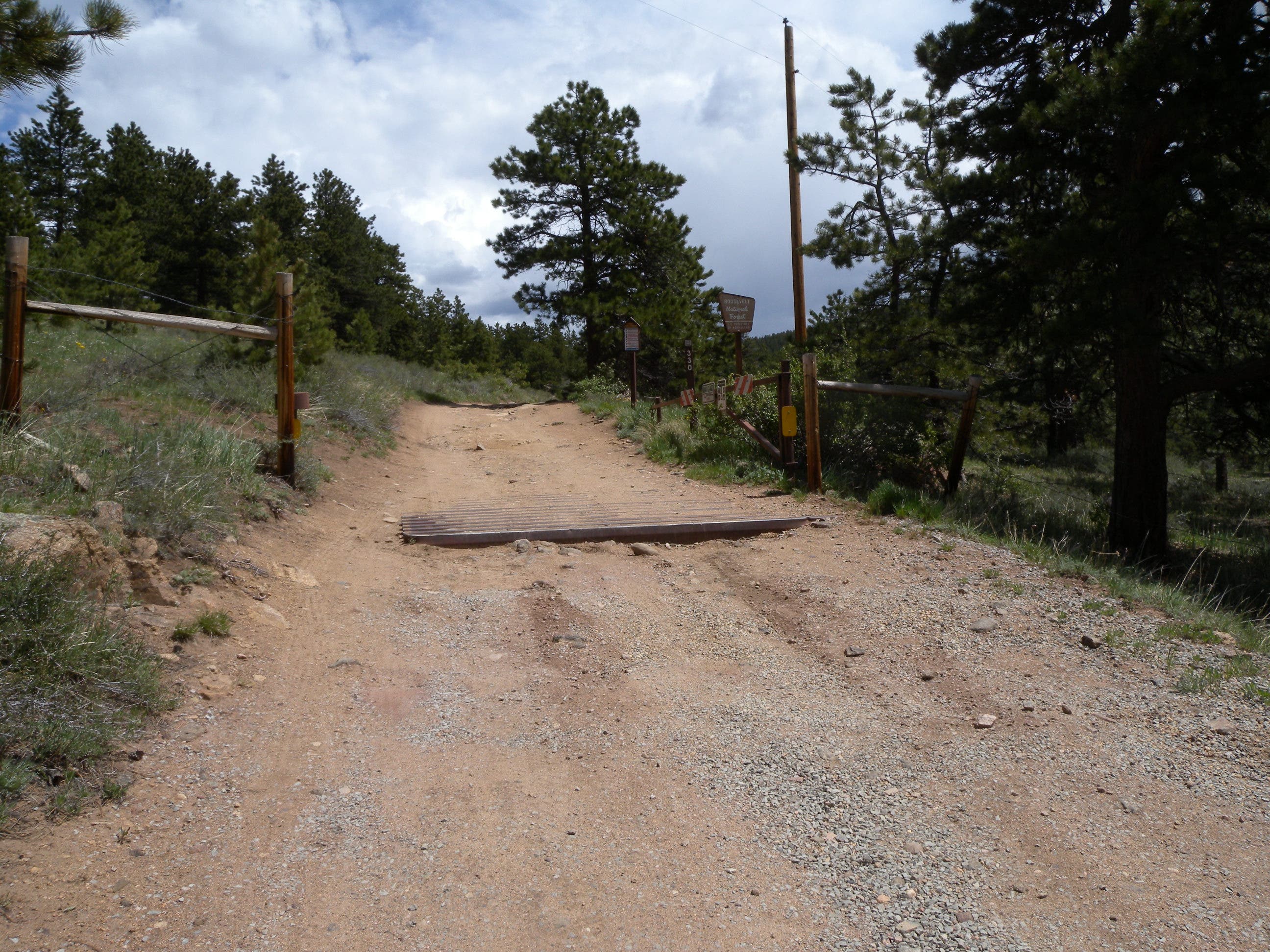
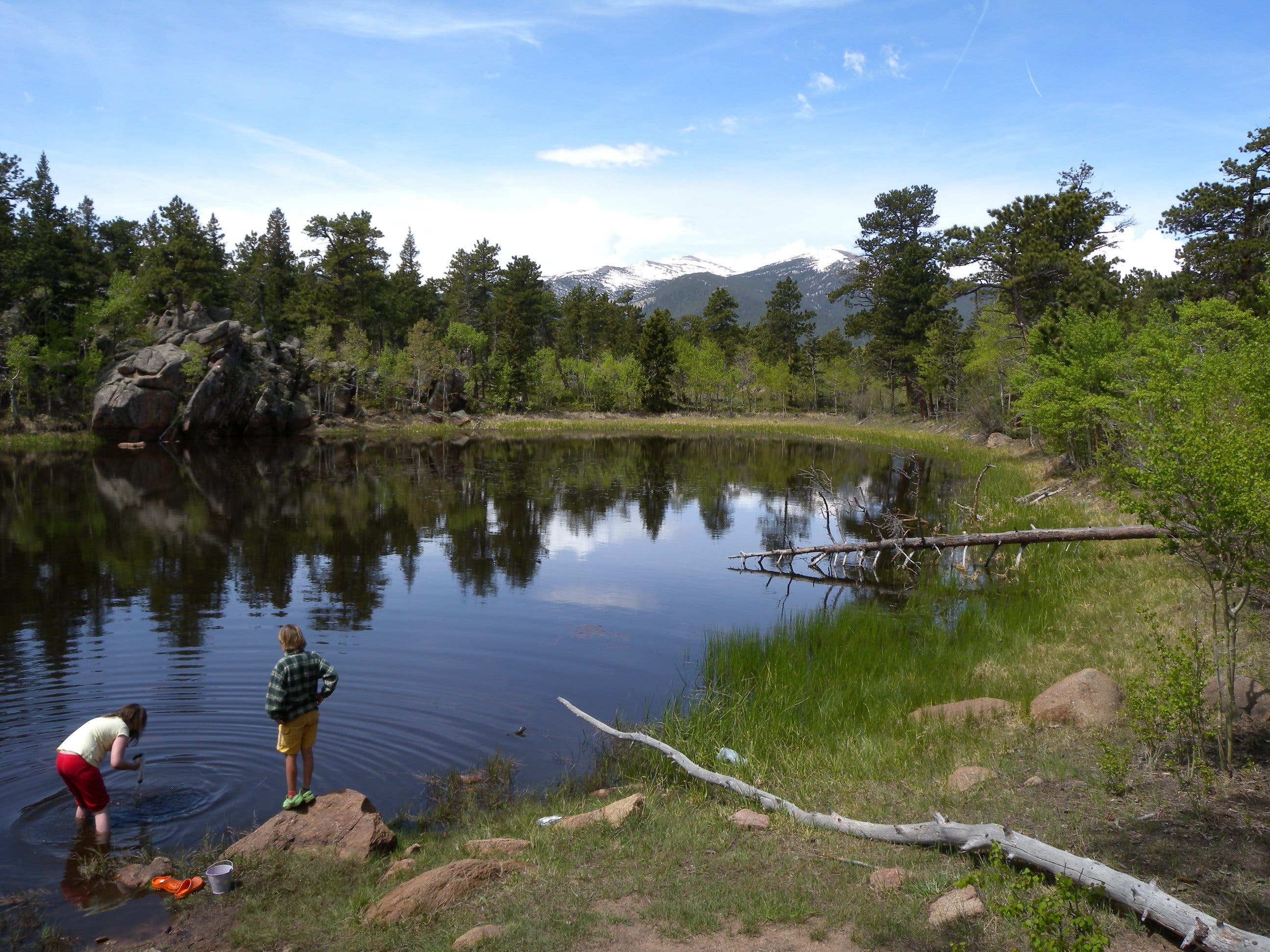
Between Boulder and Rocky Mountain National Park off the Peak-to-Peak highway, this short hike leads to a picutresque lakeside campsite in the Roosevelt National Forest. From the end of the dirt road, hike across the cattle guard and continue on the wide double track 300 yards before tuning left on a signed spur trail, also headed uphill. At the next junction, stay left to wind around the hillside, heading south and dipping into a grassy field before beginning another climb, this time through rocky outcroppings and on a more rugged section of trail. As the climb mellows and curves north, look left through a small aspen grove for views of the pond before rounding the final outcropping to an open clearing and campfire ring about 0.8 miles from the trailhead.
There are several trails emanating from the clearing, and plenty of dispersed campsites (head west for views of Longs Peak and north for early-morning shade). The pond itself is a great place to while away the afternoon in a hammock, or catching water boatmen and leeches near the murky shore. There are no services or facilities here and LNT principles apply.
-Mapped by Kristy Holland
Trail Facts
- Distance: 2.7
Waypoints
TMP001
Location: 40.1932005, -105.4841244
There is plenty of parking at this dirt-road trailhead, but no facilities. A cattle guard and access gate prevent livestock from crossing, but vehicles, bicycles and hikers are all allowed onto forest land heading north.
TMP002
Location: 40.1954091, -105.4827726
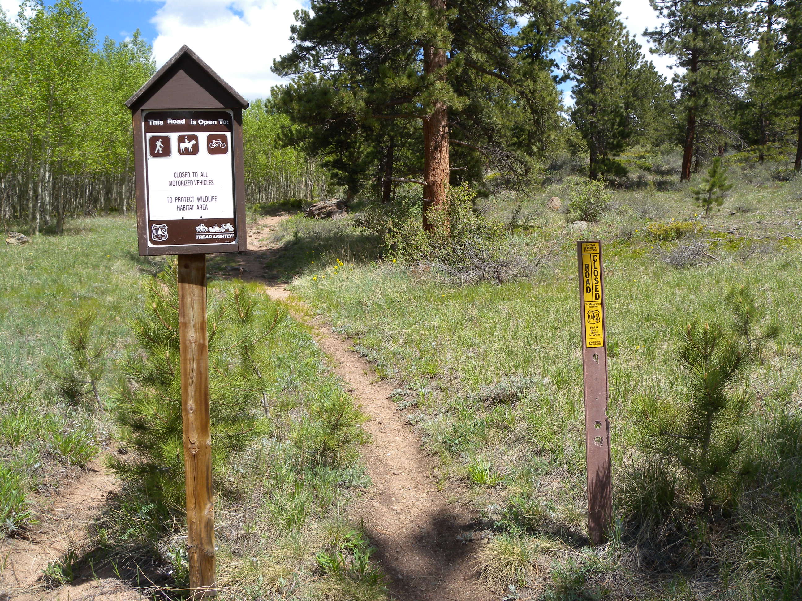
There’s a dip in the road preceding the short, steep climb to this signed junction about 300 yards from the trailhead. Turn left from the rough dirt road onto the narrower foot and bike path here.
TMP003
Location: 40.1967245, -105.4826921
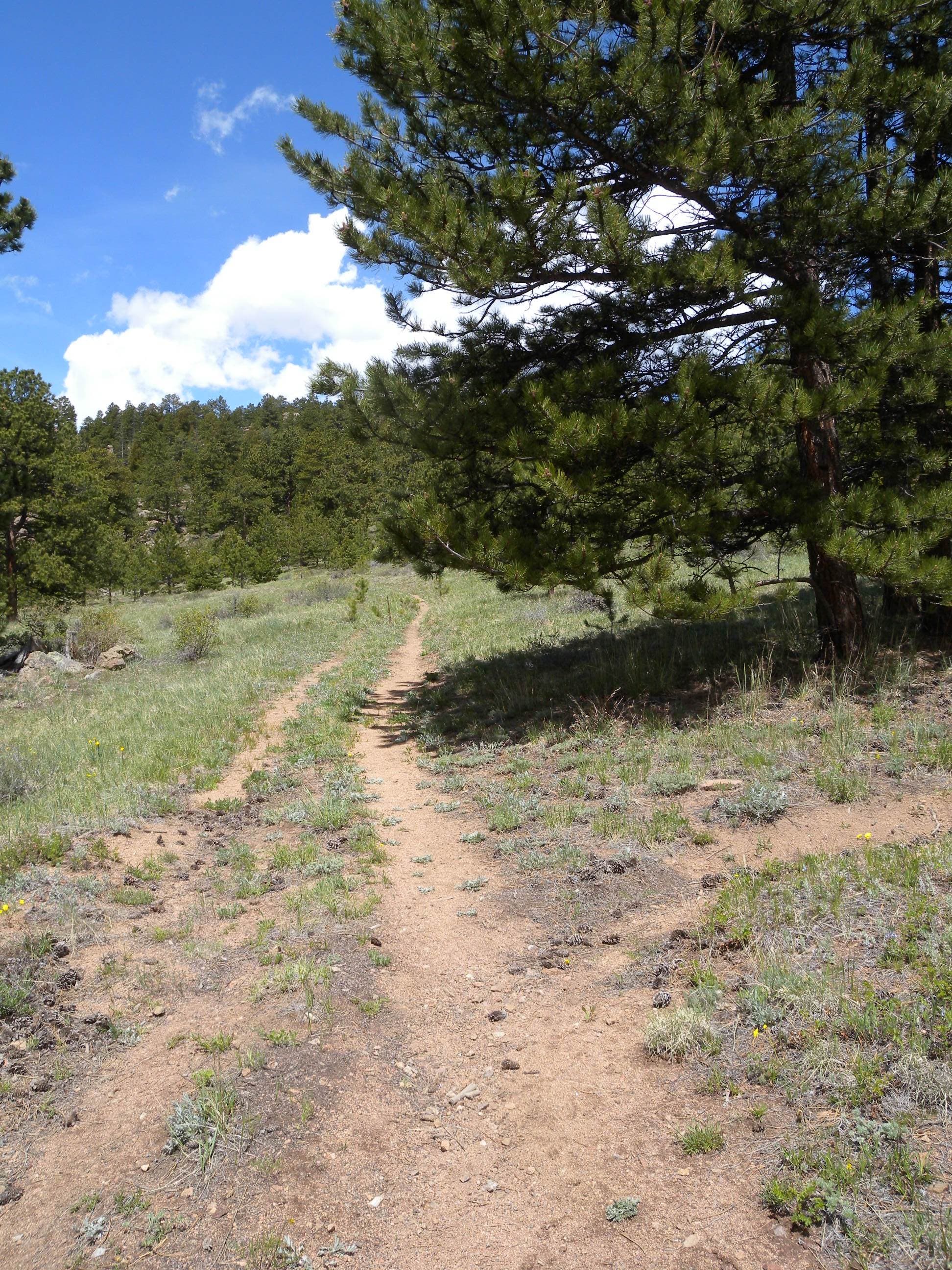
Bear left at this Y-junction and round the side of the hill on the wide, open trail. You’ll cruise southbound through a meadow before the trail gets rockier and turns uphill in about 300 yards.
TMP004
Location: 40.195069, -105.4882336
At the top of a small saddle, the trail winds past an aspen grove (look left for peek-a-boo views of the pond) before rounding and outcropping up ahead and arriving at the campsite.
TMP005
Location: 40.1958804, -105.4892582
This open clearing has a fire ring and makes a great central location for a group.
Trailhead
Location: 40.1932169, -105.4842424
Though vehicles are allowed to continue on Taylor Road into the national forest, they have to bypass a gate and cattle guard at this route’s trailhead.
Trailhead
Location: 40.1932005, -105.4841888
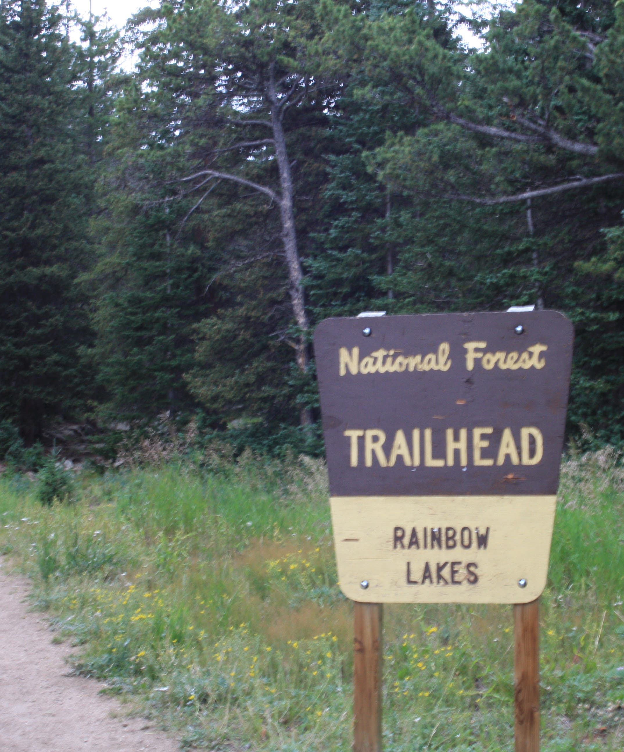
Heed trailhead regulations about camping, campfires, waste removal and trail access. Though this area isn’t far off the beaten path, sensitive trail users help protect it.
Footpath
Location: 40.1955198, -105.4828584
There are several signs marking the turn from the road onto the footpath about 300 yards from the trailhead.
Junction
Location: 40.1967081, -105.4827189
Stay on the larger, doubletrack trail at this junction to round the hillside before the final climb.
Meadow
Location: 40.1960361, -105.4846931
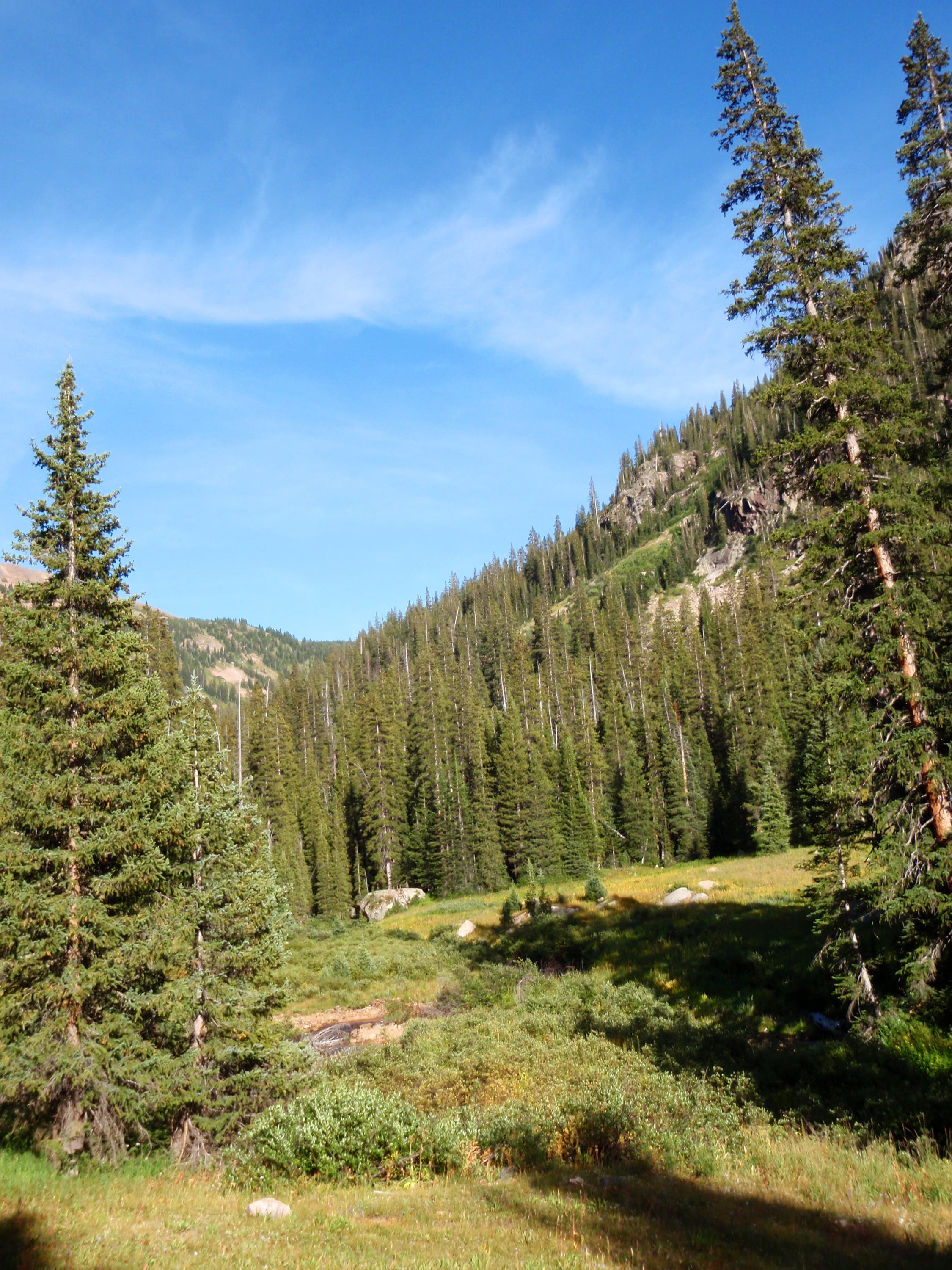
Two small trees flank the trail as it traces the western edge of this meadow.
Wildflowers
Location: 40.1953805, -105.4855728
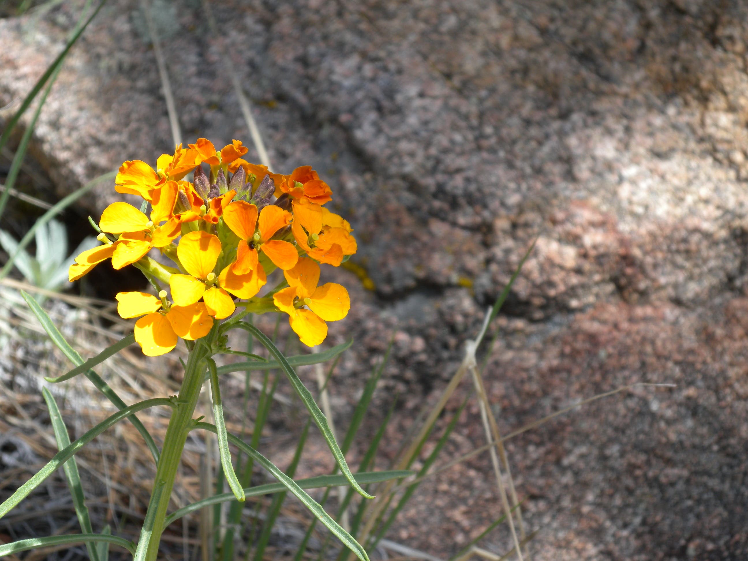
Spring wildflowers bloom along the shaded climb.
Pond
Location: 40.1958558, -105.4893494
The pond at the campsite fire ring is a peaceful place to visit for the day or night.