Boulder, CO: Shadow Canyon

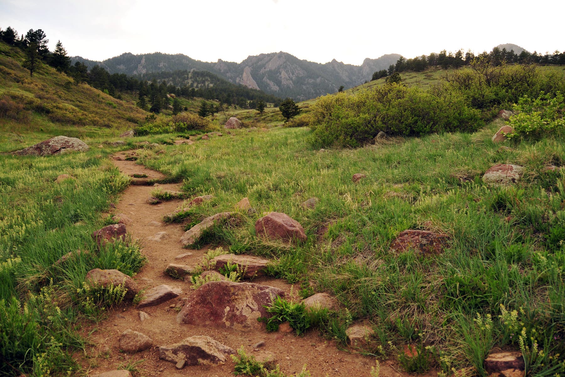
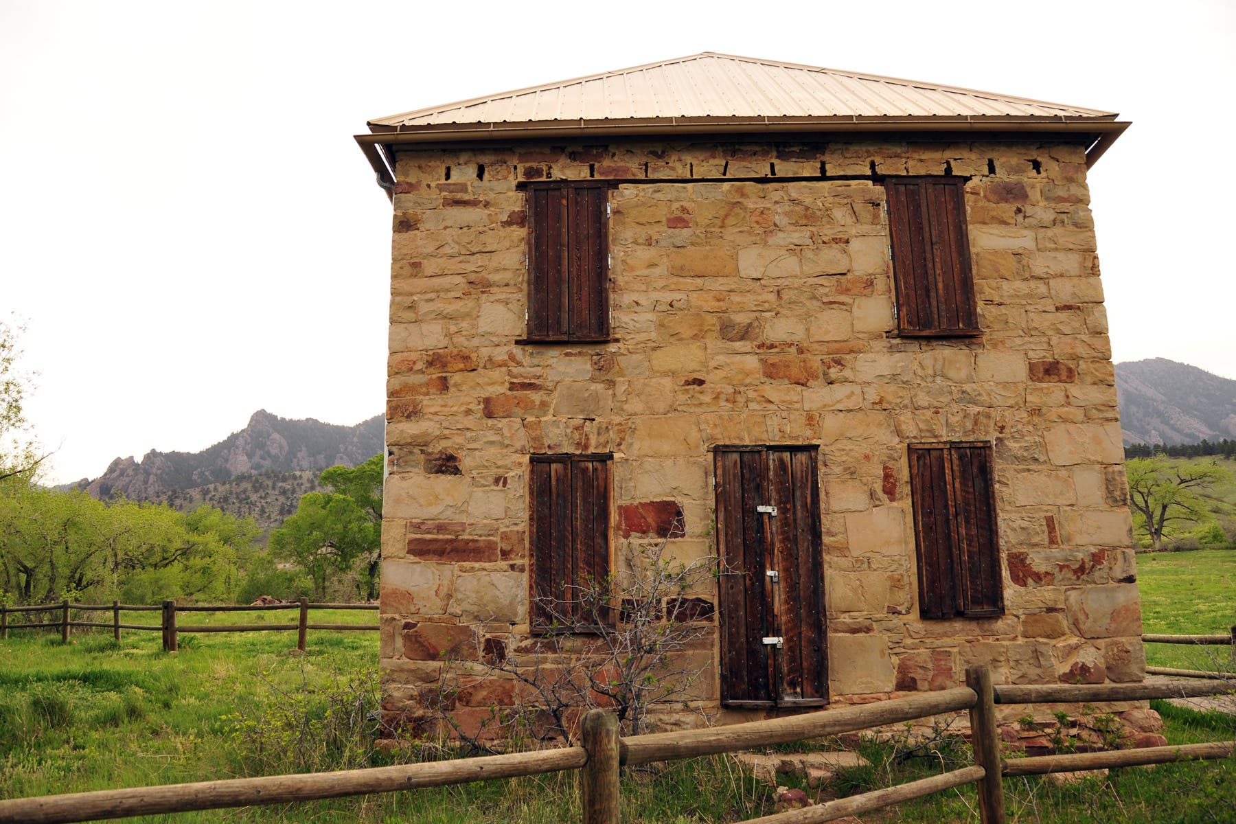
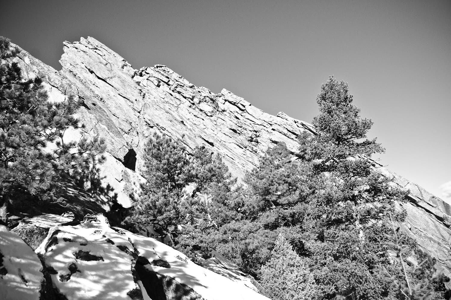
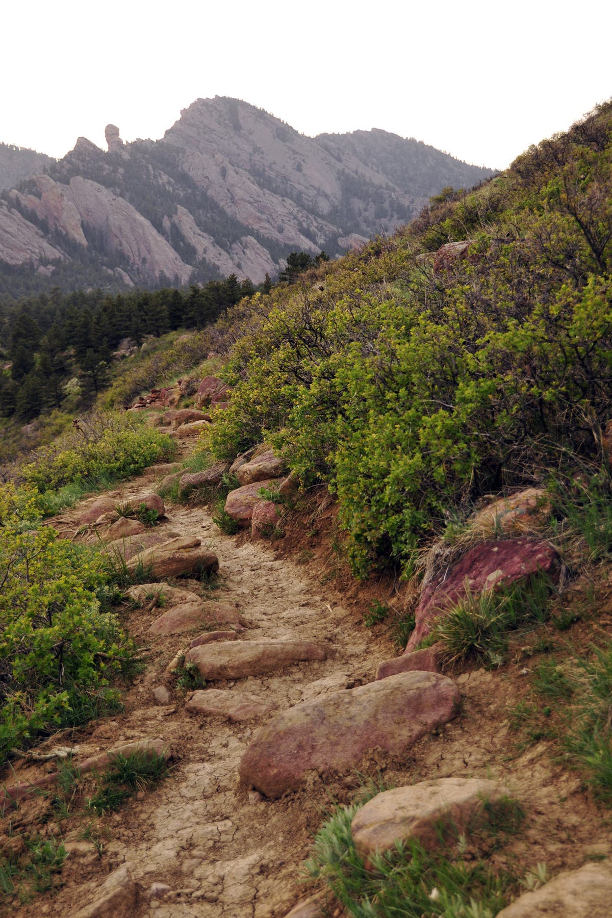
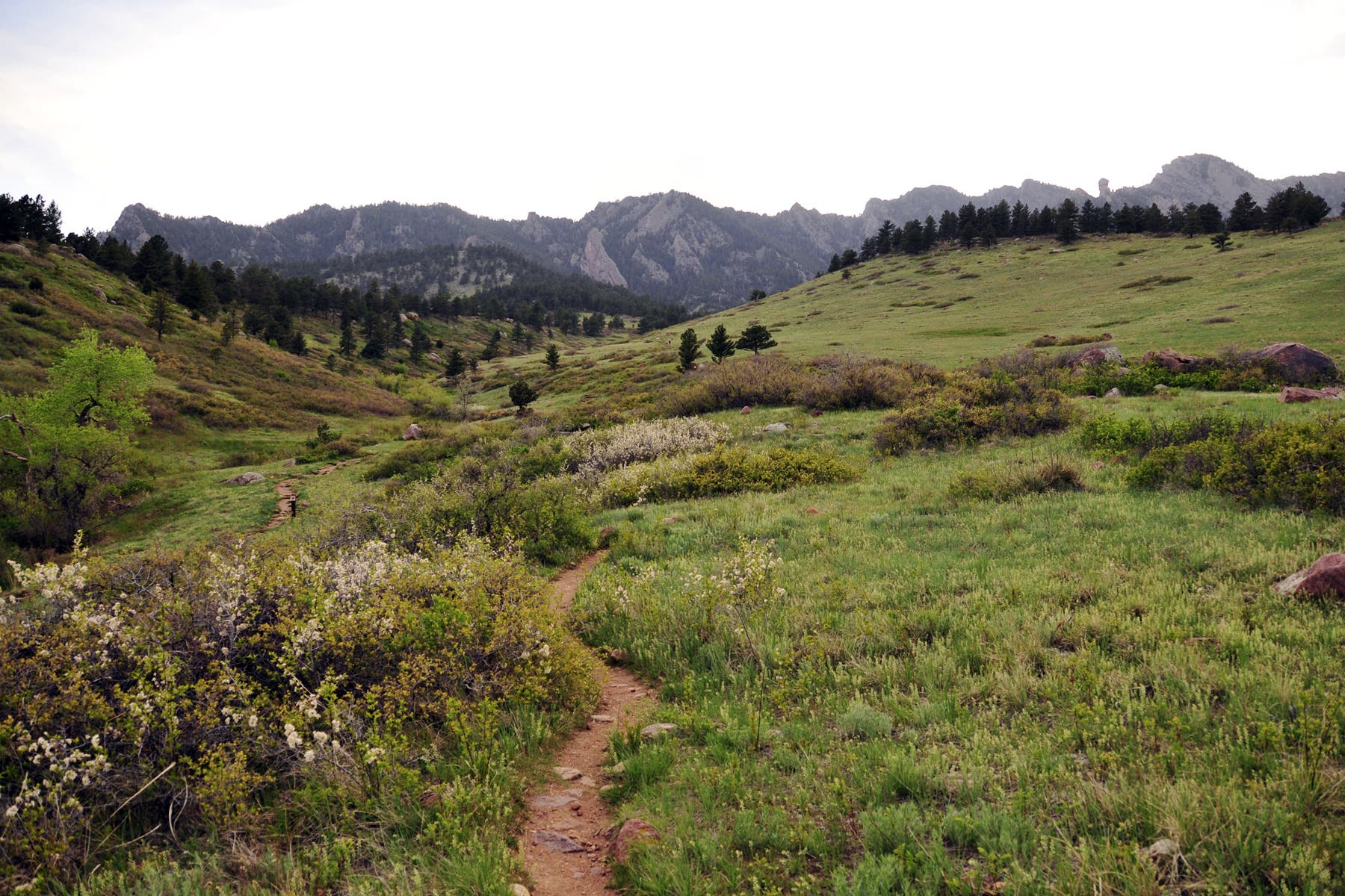
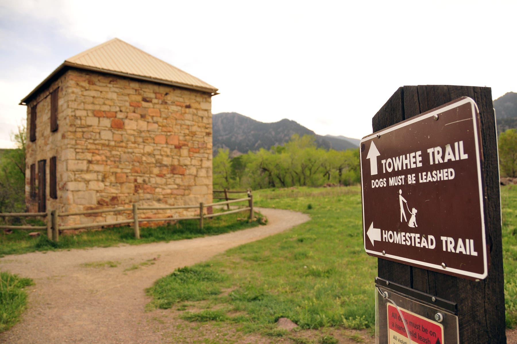
Perfect for a short dayhike or trail run, this popular route on the outskirts of Boulder climbs gently into Shadow Canyon for postcard-worthy views of the Flatirons. From the Mesa Trailhead, cross Boulder Creek, then hike northwest toward Shadow Canyon. After 650 feet, turn left at the 3-way junction onto Towhee Trail. The trail passes an old homestead, then veers right, climbing steadily into the foothills. Look to the northwest for views of 8,461-foot Bear Peak and Devil’s Thumb, a large cylinder of rock.
As the trail climbs further into Shadow Canyon, make sure to turn around for wide-open views that extend to Denver. Most days, the wind funnels down the canyon and races toward the eastern plains; the surrounding meadows and trees rustle in spurts, breaking the silence. At mile 0.8, bear left at the Y-junction. Less than half a mile later, keep straight at the 3-way junction.
After 1.3 miles, the route turns left onto Shadow Canyon Trail. Follow this trail for another half mile to the turnaround point near the Matron, a towering rock formation popular with climbers. Enjoy the views around Shadow Canyon before turning around for the return trip back to the trailhead.
Note: To extend this route, hikers can continue up Shadow Canyon to summit Bear Peak and/or South Boulder Peak.
-Mapped by Kim Phillips
Trail Facts
- Distance: 5.6
Waypoints
SHD001
Location: 39.9387868, -105.2581778
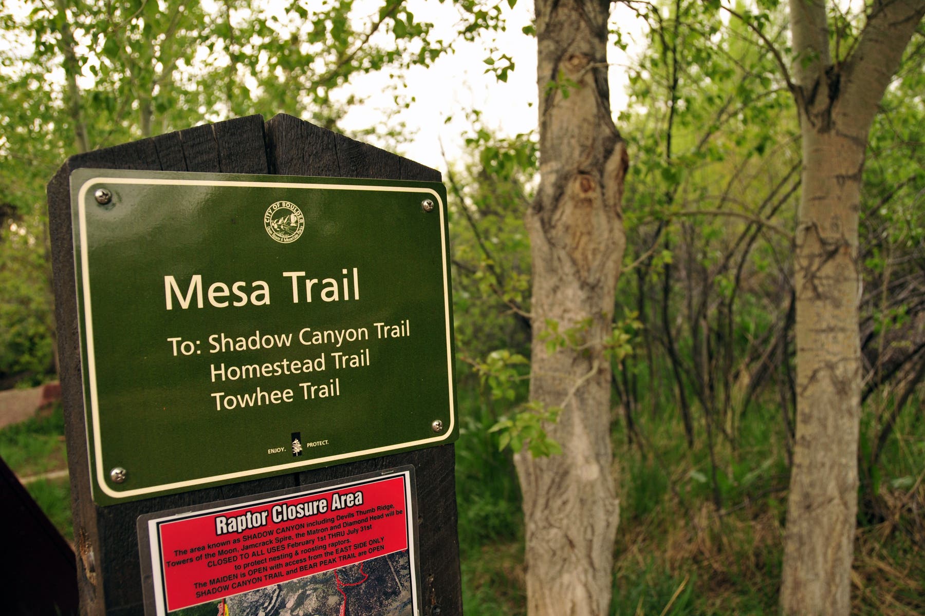
Begin hiking northwest on the Mesa Trail toward Shadow Canyon. Note: Multiple paths lead to Shadow Canyon, so lengthen or shorten the hike depending on your mood.
SHD002
Location: 39.9394901, -105.2594787
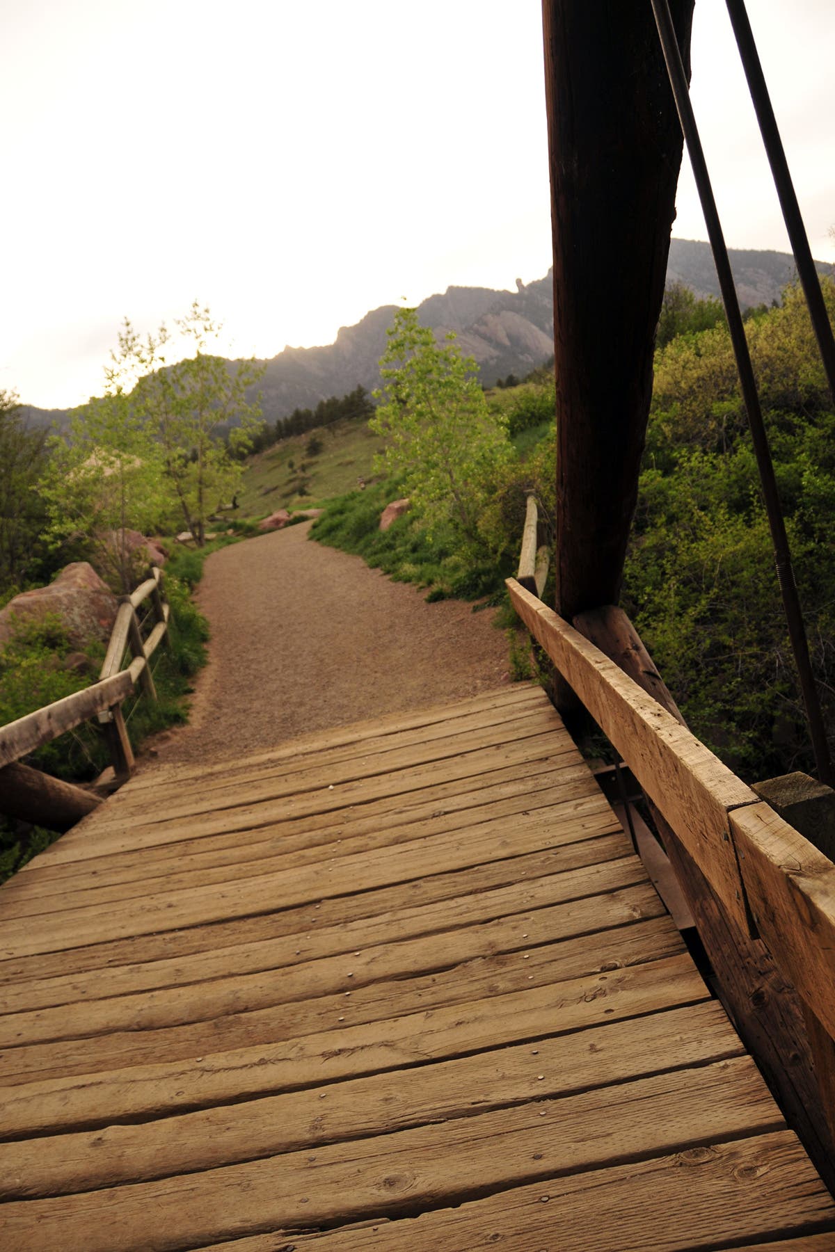
Cross Boulder Creek. Bear Peak frames the skyline directly ahead. Devil’s Thumb, a large cylinder of rock, rises to the northwest.
SHD003
Location: 39.9397493, -105.2599856
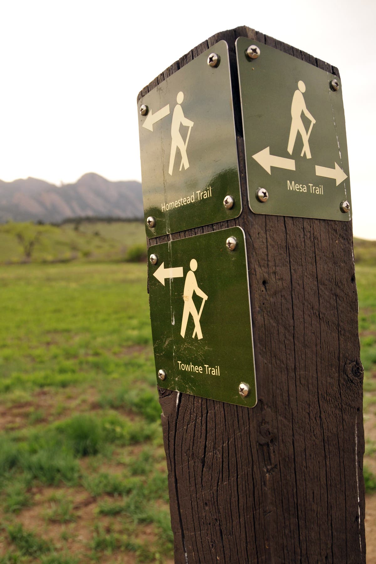
Turn left @ 3-way onto Towhee Trail and hike toward an old, stone homestead.
SHD004
Location: 39.9396649, -105.260219
Turn right @ 3-way onto Towhee Trail. Side trip option: Continue straight @ 3-way to check out the Doudy-Debacker-Dunn Homestead.
SHD005
Location: 39.9426838, -105.2651811
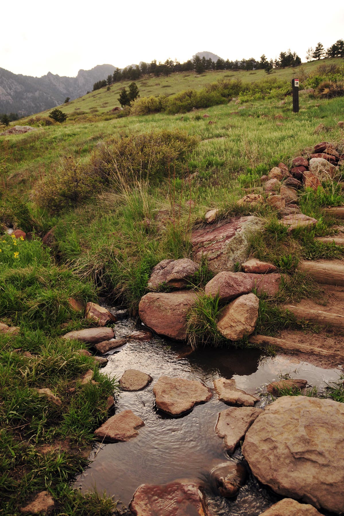
Rock hop across a small stream.
SHD006
Location: 39.9427291, -105.2654386
Continue straight, heading west.
SHD007
Location: 39.9430128, -105.2673885
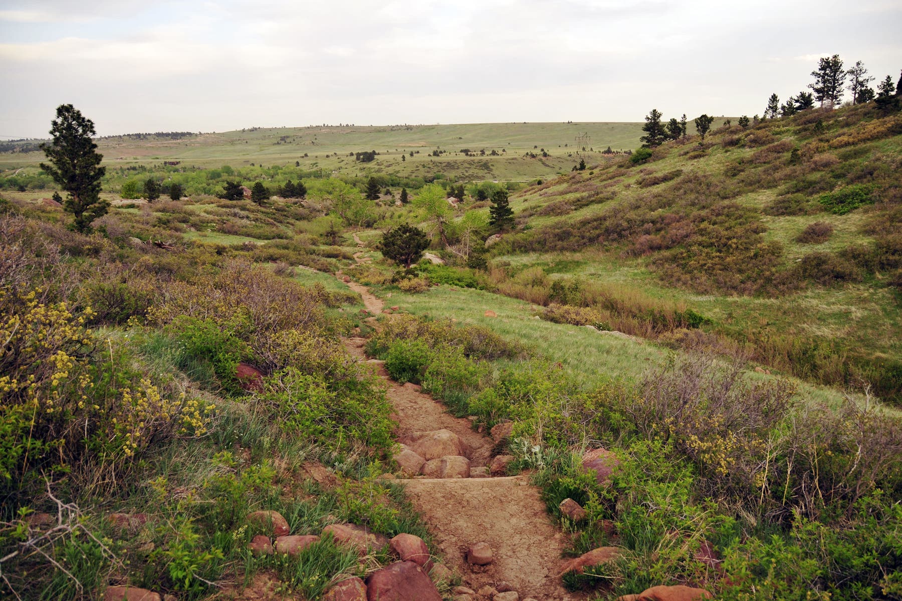
Catch your breath and turn around for wide-open views that extend to Denver. Most days, the wind funnels down the canyon and races toward the eastern plains. Surrounding meadows and trees rustle in spurts, breaking the silence.
SHD008
Location: 39.9436133, -105.2707922
Continue left @ Y-junction. Note: Depending on snowpack, an unmarked trail entering from right may not be visible.
SHD009
Location: 39.9437963, -105.2762881
Continue straight @ 3-way.
SHD010
Location: 39.943383, -105.279724
Turn left @ T-junction onto Shadow Canyon Trail.
SHD011
Location: 39.9442426, -105.2837205
Continue straight on Shadow Canyon Trail @ 3-way. Look northwest to view Devils Thumb, which is now only a few hundred feet away.
SHD012
Location: 39.9431959, -105.2848577
Enjoy views of Shadow Canyon and the Matron, a nearby rock formation popular with climbers. Next, return to Waypoint 6, then bear left @ Y-junction. Add mileage: Continue straight into Shadow Canyon to summit Bear Peak and/or South Boulder Peak.
SHD013
Location: 39.9428278, -105.2642584
Turn right @ T-junction onto the Mesa Trail and follow it back to the trailhead.
Trail Views
Location: 39.9428113, -105.265975
Mesa Trailhead
Location: 39.9387889, -105.2581429
Bridge Crossing
Location: 39.9394881, -105.2594304
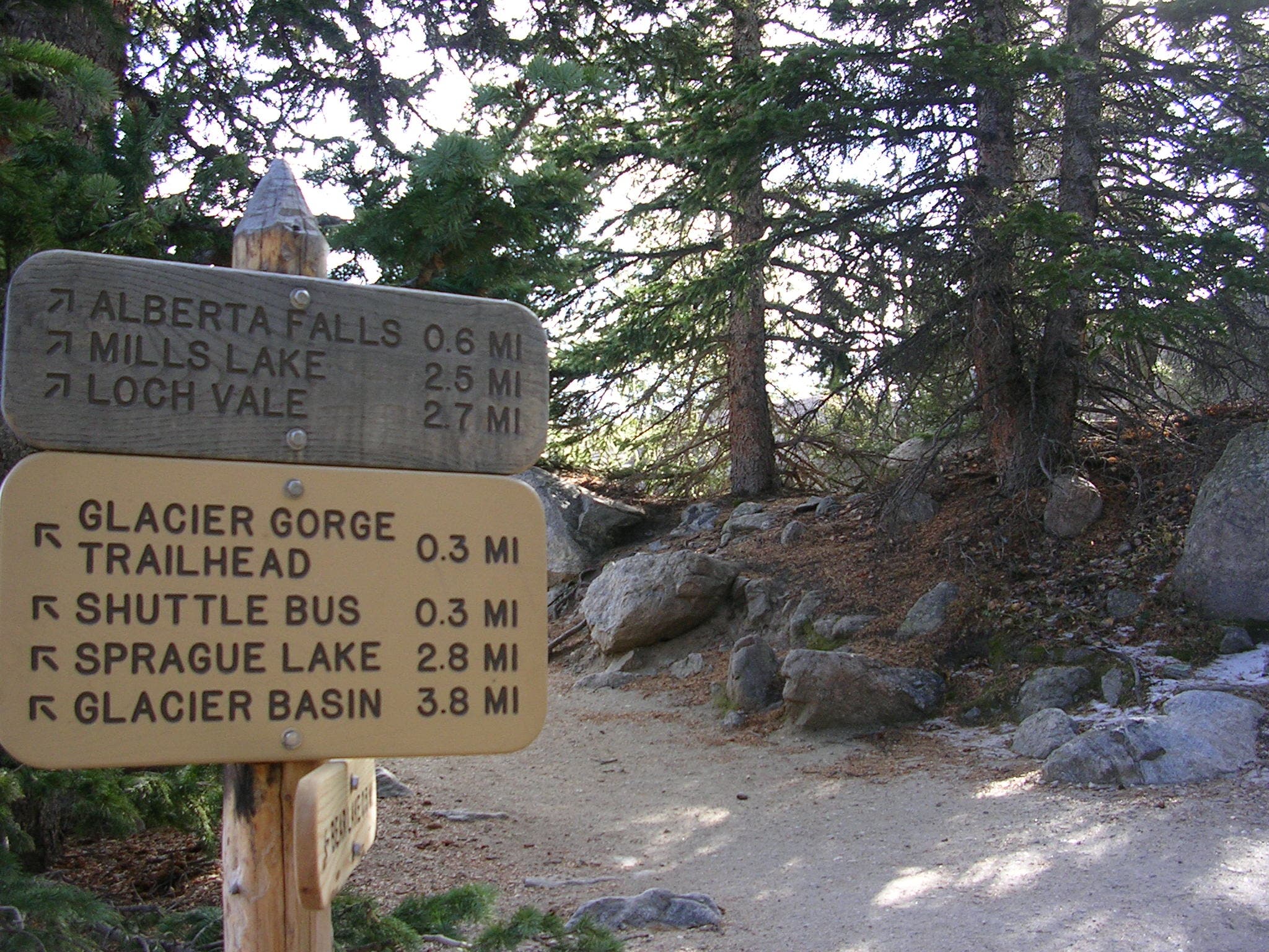
Sign Post
Location: 39.9397472, -105.2599534
Trail Junction
Location: 39.939669, -105.2601868
Doudy-Debacker-Dunn Homestead
Location: 39.9395457, -105.2602029
Flatirons
Location: 39.9397513, -105.2603745
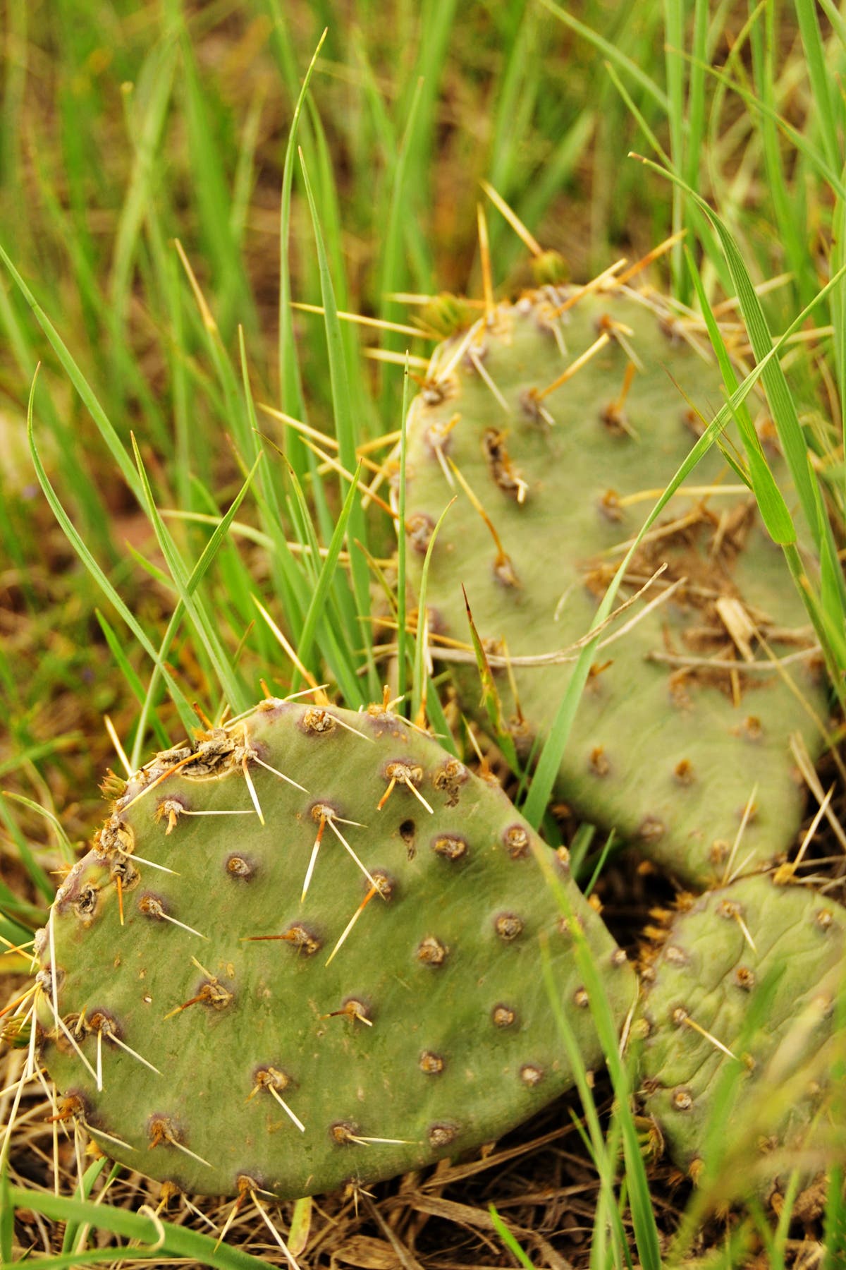
Cactus
Location: 39.9398253, -105.2605247
Stream Crossing
Location: 39.9426838, -105.2651462
Steps
Location: 39.9429224, -105.2667072
Eastern Views
Location: 39.9429512, -105.2668977
Views of Devils Thumb
Location: 39.943017, -105.2690113
Towhee Trail
Location: 39.9428607, -105.2646017
Trail Junction
Location: 39.942836, -105.2641779
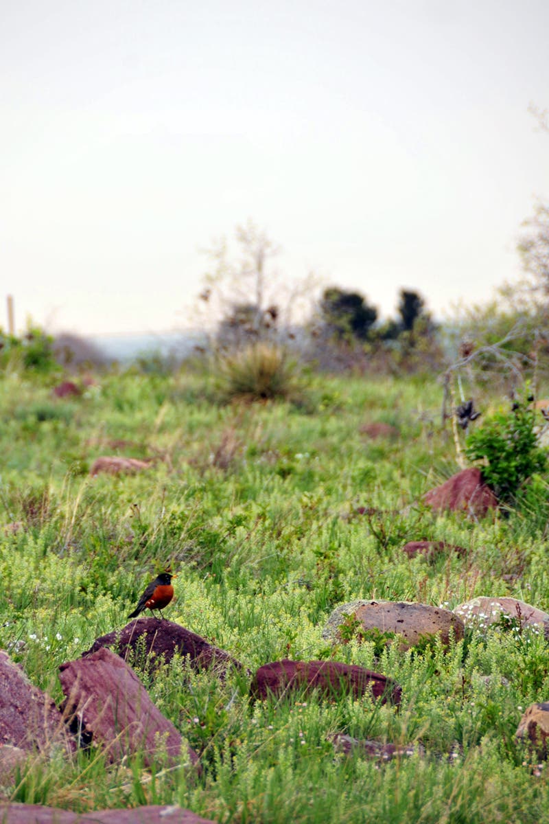
Robin
Location: 39.9410346, -105.2601814
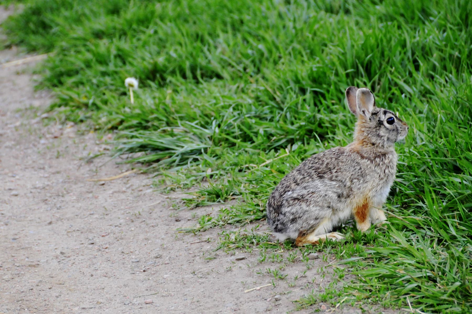
Rabbit
Location: 39.9392495, -105.2590334