Boulder, CO: Saddle Rock Trail

OLYMPUS DIGITAL CAMERA
Explore the northern reaches of Chautauqua Park on this 3.1-mile out-and-back that follows Saddle Rock Trail to a small overlook above Boulder. The route starts next to the ranger’s station and heads west across grassy slopes. After 1,000 feet, bear right onto the Ski Jump Trail and climb into fragrant ponderosa forest.
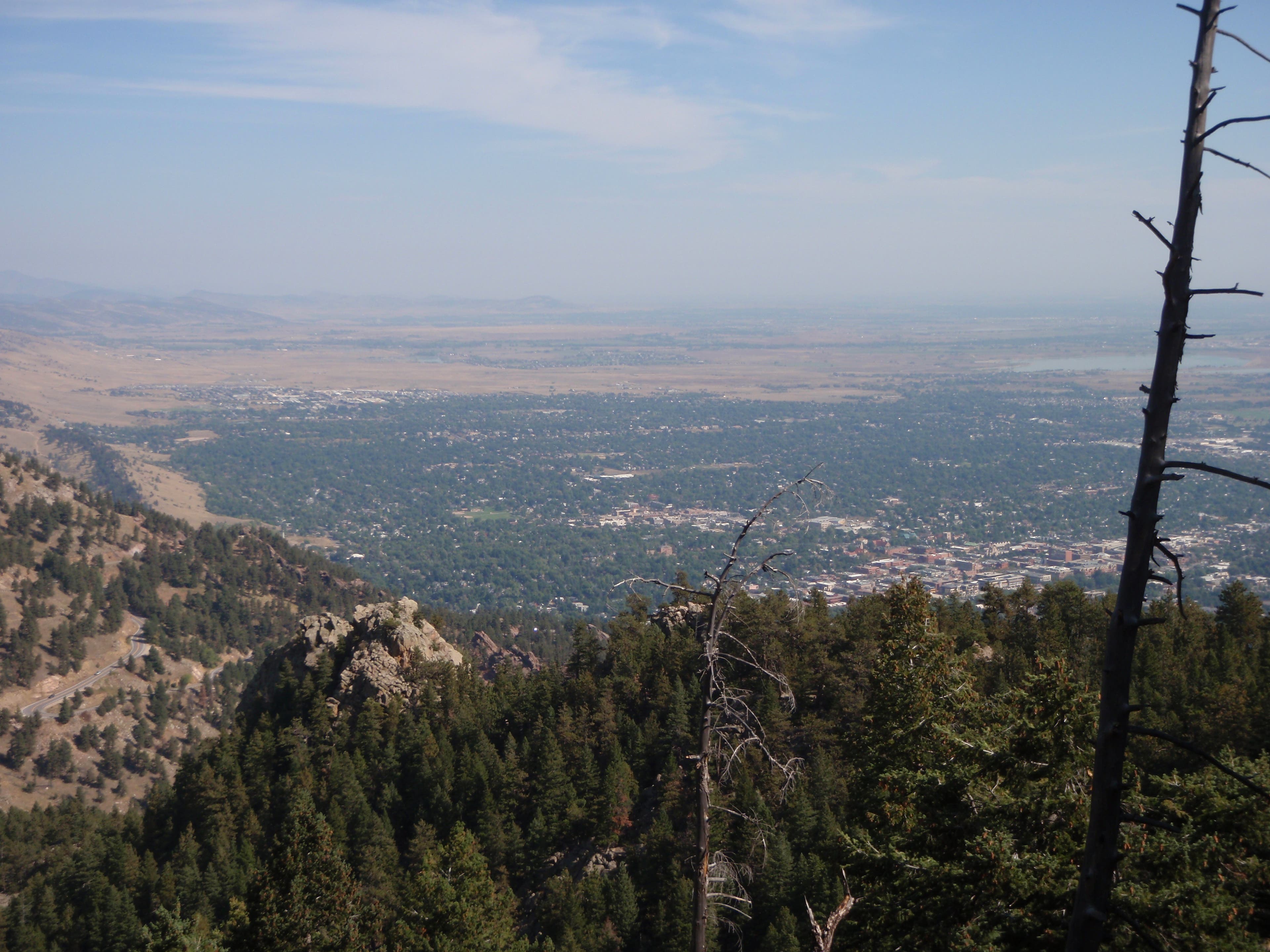
Shortly after entering the woods, the trail descends rocky terrain into Gregory Canyon. Turn left at the bottom of the descent, then left again onto the Saddle Rock Trail and begin a steady climb. Pass a massive boulder on the right with bird’s-eye views of Boulder at mile 1, then continue climbing for another half mile to a small perch with more views of Boulder and the eastern plains. Stop and take in the scene, then backtrack to the parking area.
-Mapped by Carolyn Michaels
Trail Facts
- Distance: 5.0
Waypoints
SAD001
Location: 39.998811, -105.282889
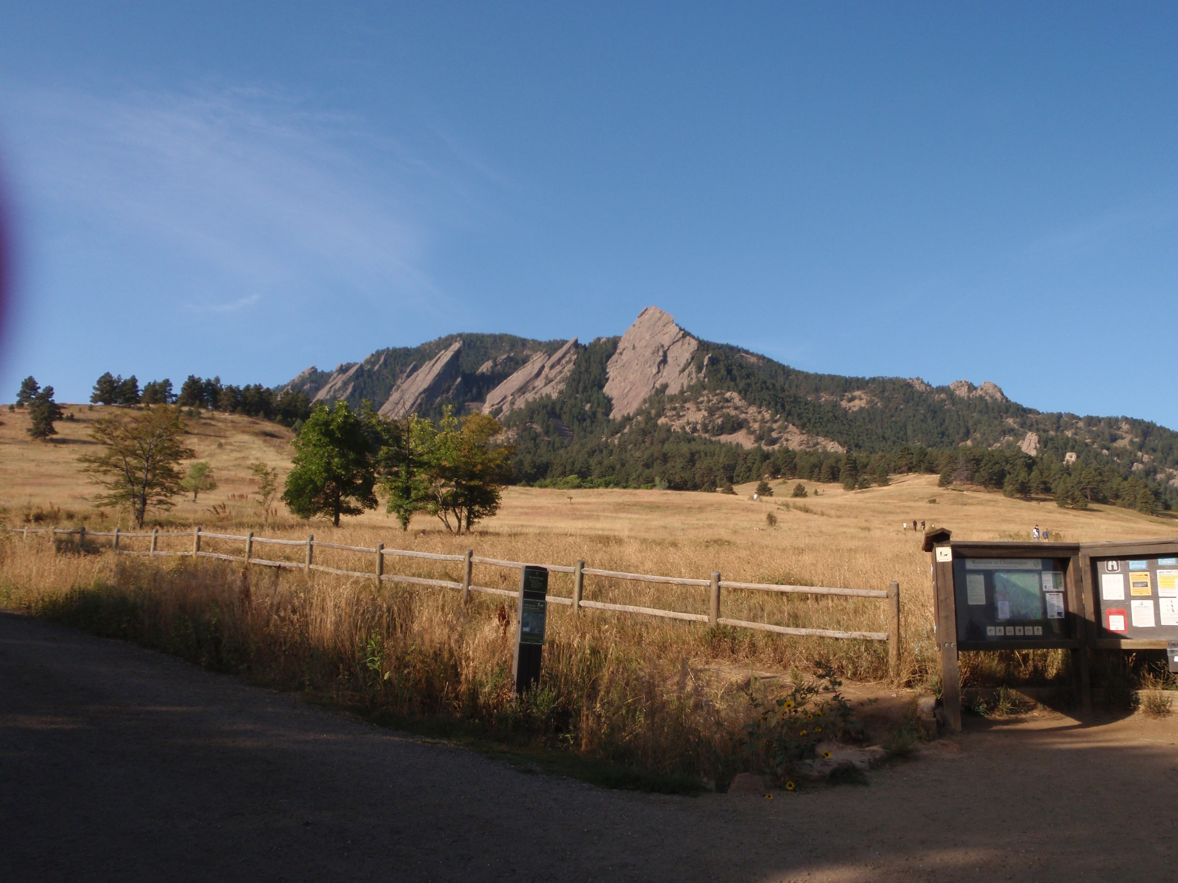
From the 3-way junction next to the ranger’s station, hike west on the wide, dirt trail. The Flatirons tower above the high grasses that flank the beginning of the trail.
SAD002
Location: 39.998287, -105.28416
Continue straight, heading southwest.
SAD003
Location: 39.997137, -105.285552
Turn right at Y-junction onto the Ski Jump Trail.
SAD004
Location: 39.996919, -105.28806
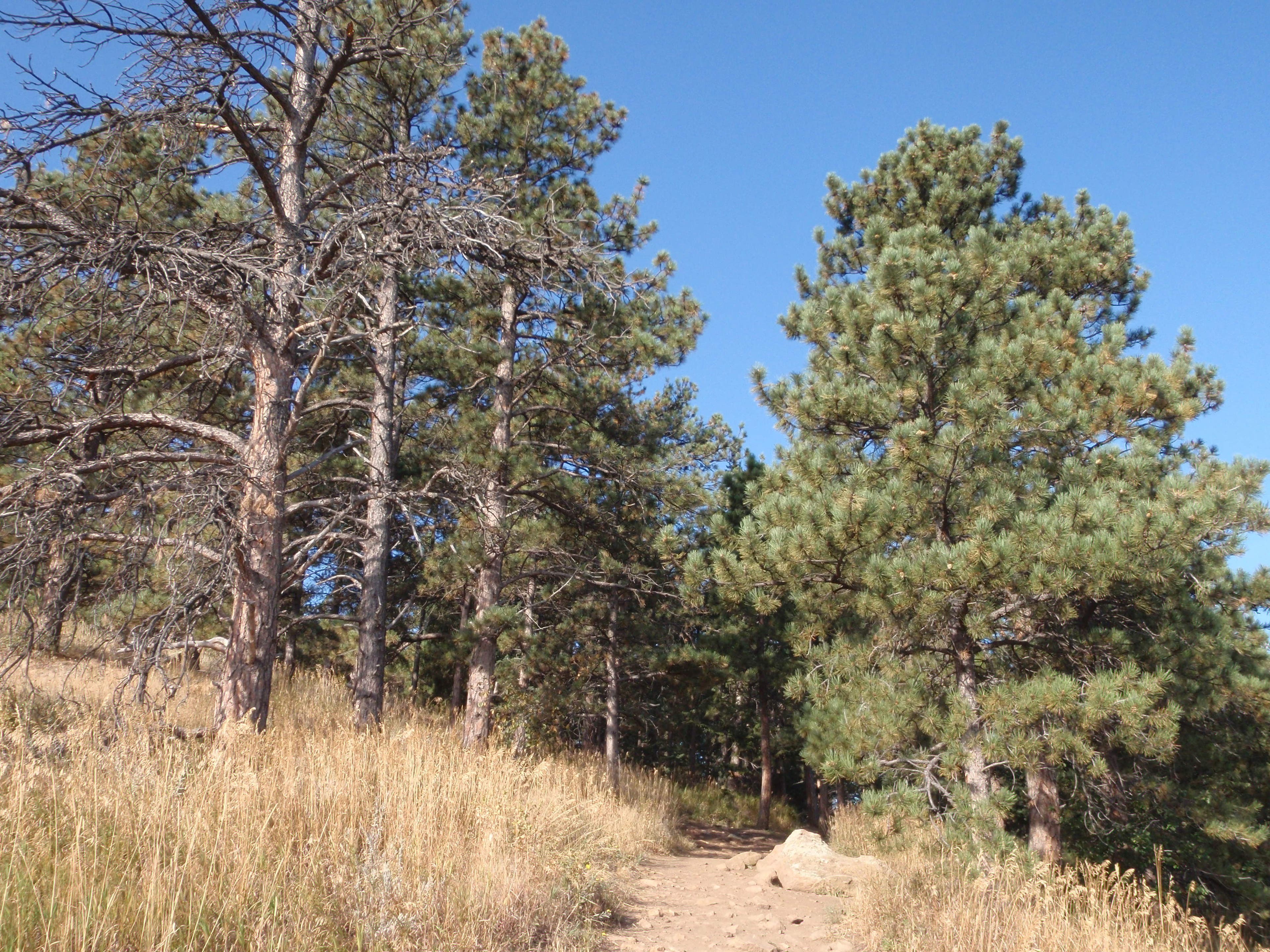
The trail enters the trees, which offer welcome shade during the summer months.
SAD005
Location: 39.996931, -105.288951
Turn right at the T-junction toward the Amphitheater Trail. The trail on the left leads to Chautauqua Trail and the Flatirons via the Bluebell-Baird Trail.
SAD006
Location: 39.996898, -105.289686
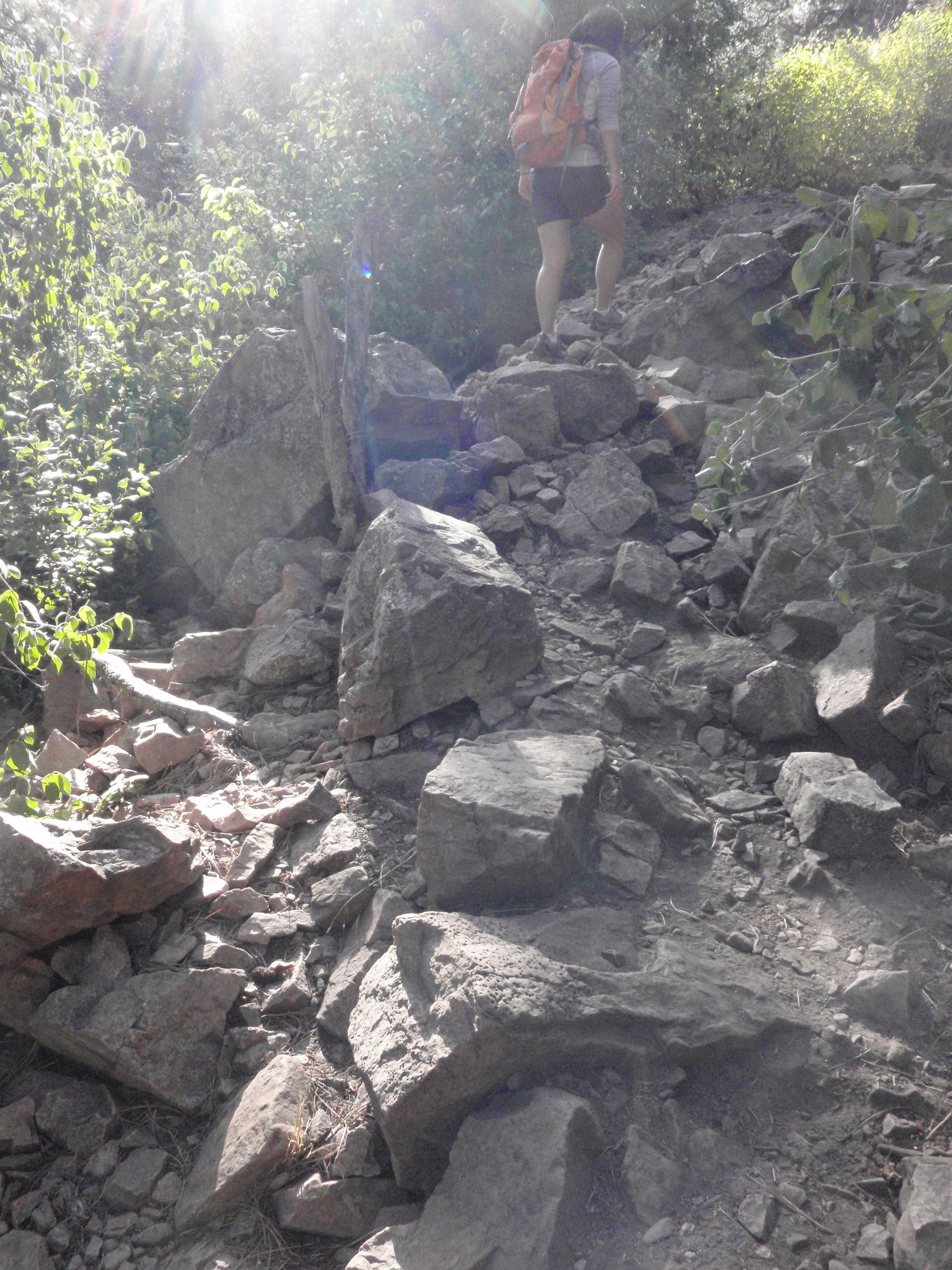
The trail begins a rocky descent into a thickly forested area. Watch your footing on this potentially slick section.
SAD007
Location: 39.9975, -105.291984
Turn left at 3-way junction. The trail narrows to a rocky path, but widens ahead.
SAD008
Location: 39.99735, -105.292089
Turn left @ T-junction.
SAD009
Location: 39.993446, -105.295908
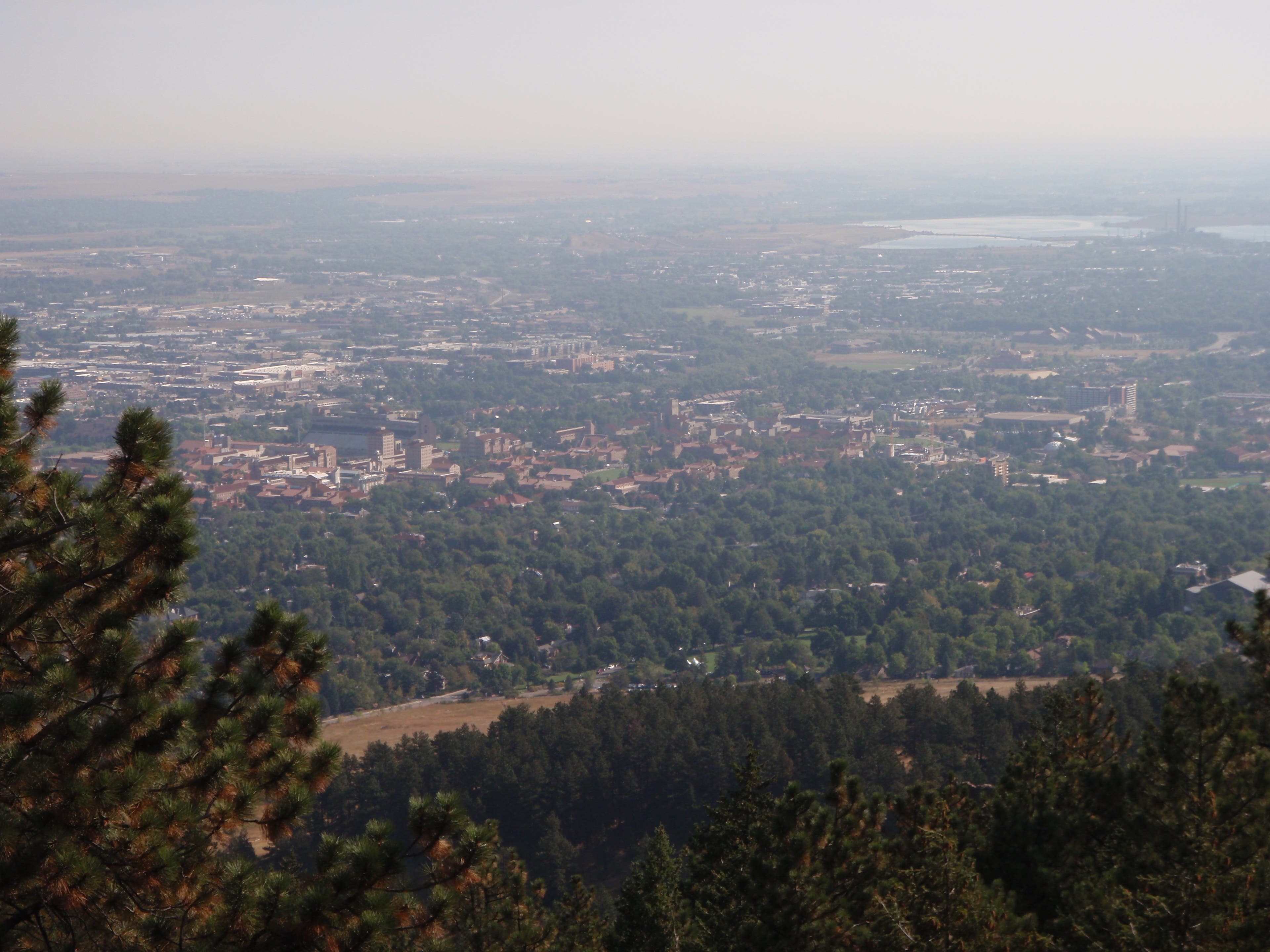
A large peaked boulder on the side of the trail is the perfect place to take a rest and scope out views of Boulder and the CU campus.
SAD010
Location: 39.991416, -105.296928
The trail begins another steep ascent; boulders flank the path.
SAD011
Location: 39.989459, -105.30064
The Saddle Rock Trail ends at a small lookout with views of Boulder and the Flatirons. To add mileage, continue to Green Mountain Trail; otherwise, turn around and return to the parking area.
Flatirons
Location: 39.998821, -105.282819
Forest
Location: 39.996919, -105.288017
The broad, grassy plains make way for towering ponderosa pines.
Rock Walk
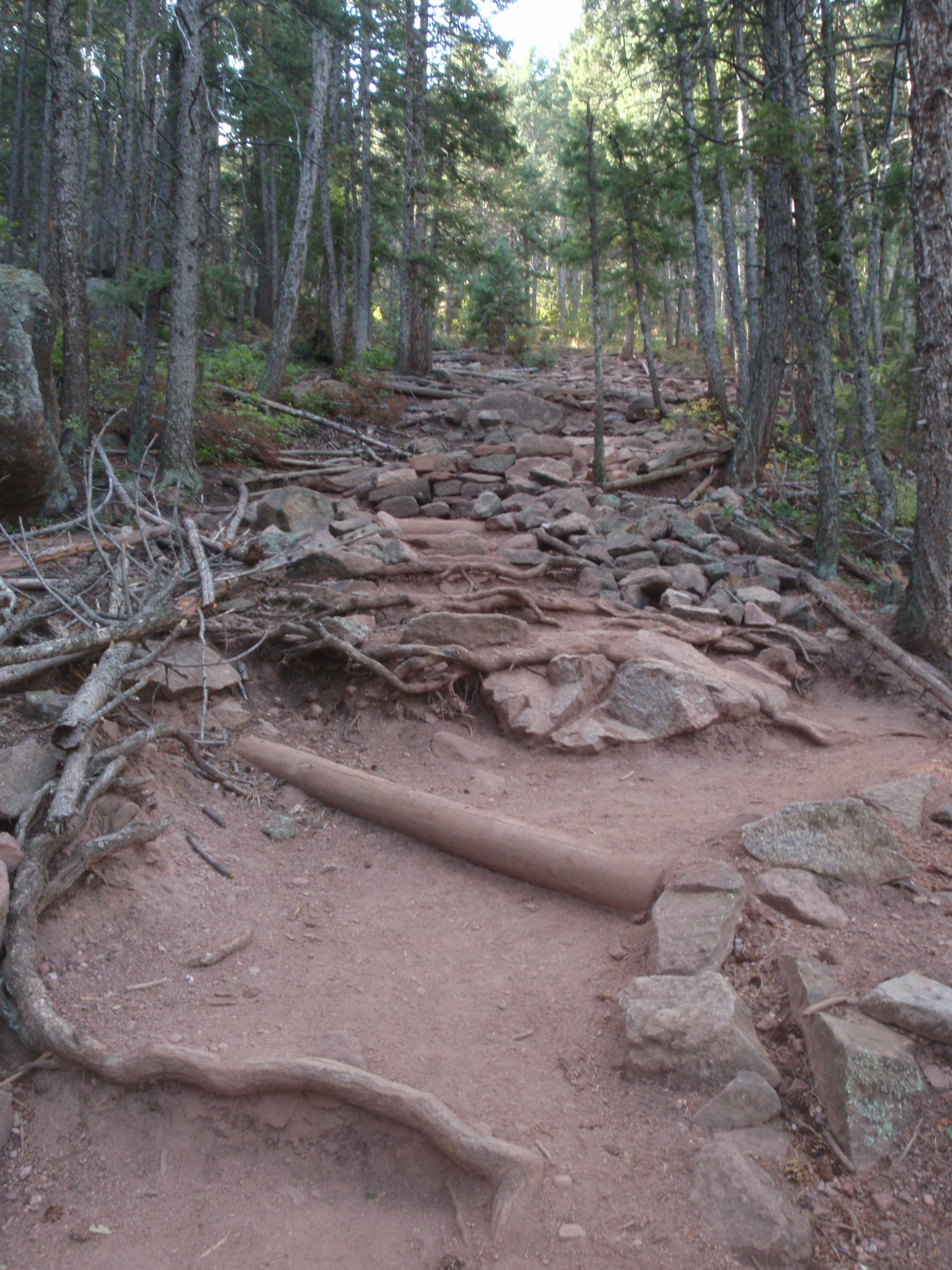
Location: 39.997498, -105.291955
The trail makes the shift from smooth dirt to steep, jutting rocks.
Views of Boulder
Location: 39.99345, -105.295828
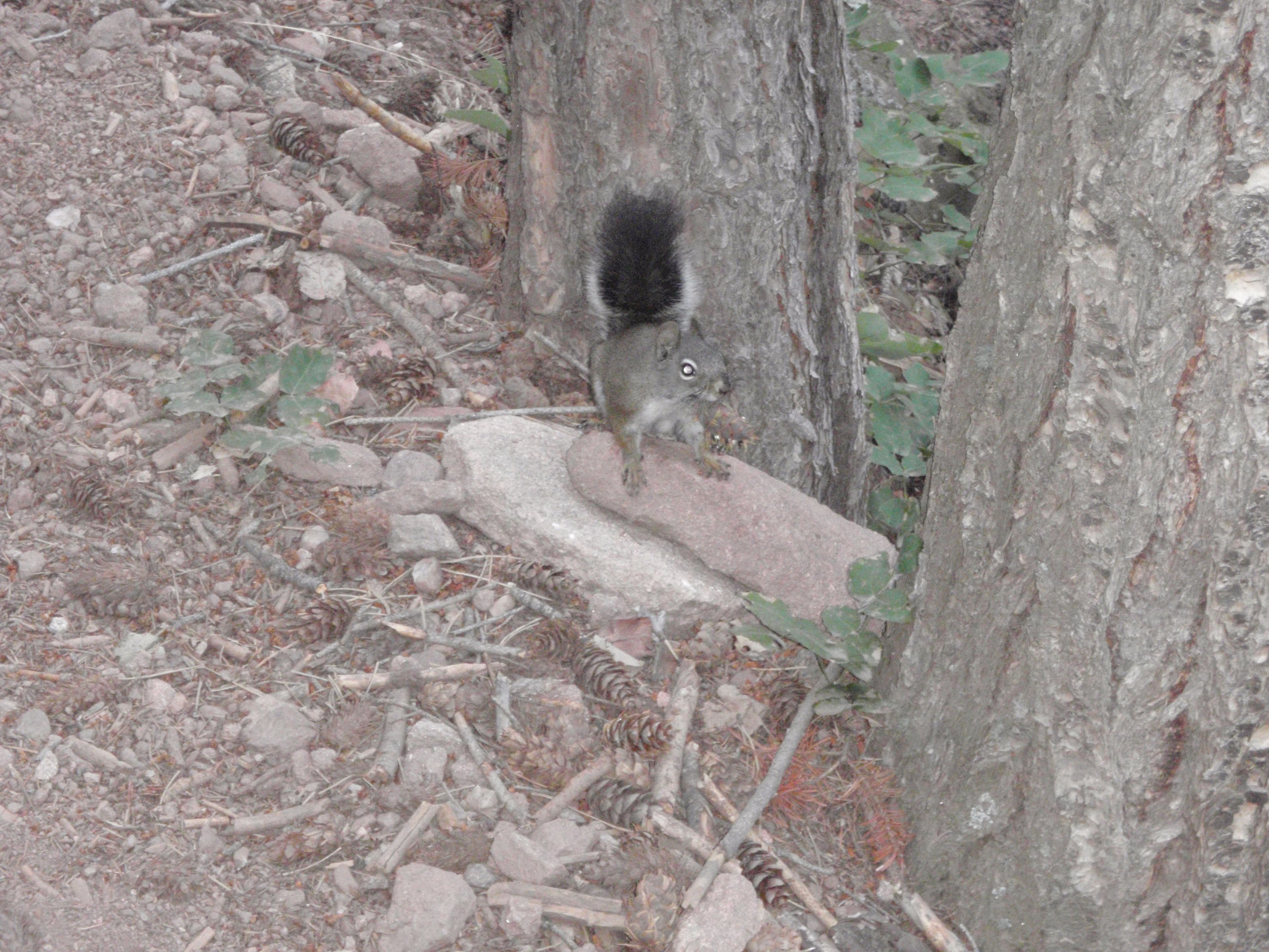
Squirrel
Location: 39.992164, -105.296445
A small pine squirrel blends in with the rocks.
Stairway
Location: 39.990637, -105.297708
The broad steps of the trail allow for easy passing and a gradual, comfortable ascent.
Trail’s End
Location: 39.989464, -105.300589
Another stunning view of Boulder from the end of the Saddle Rock Trail.