Boulder, CO: Royal Arch

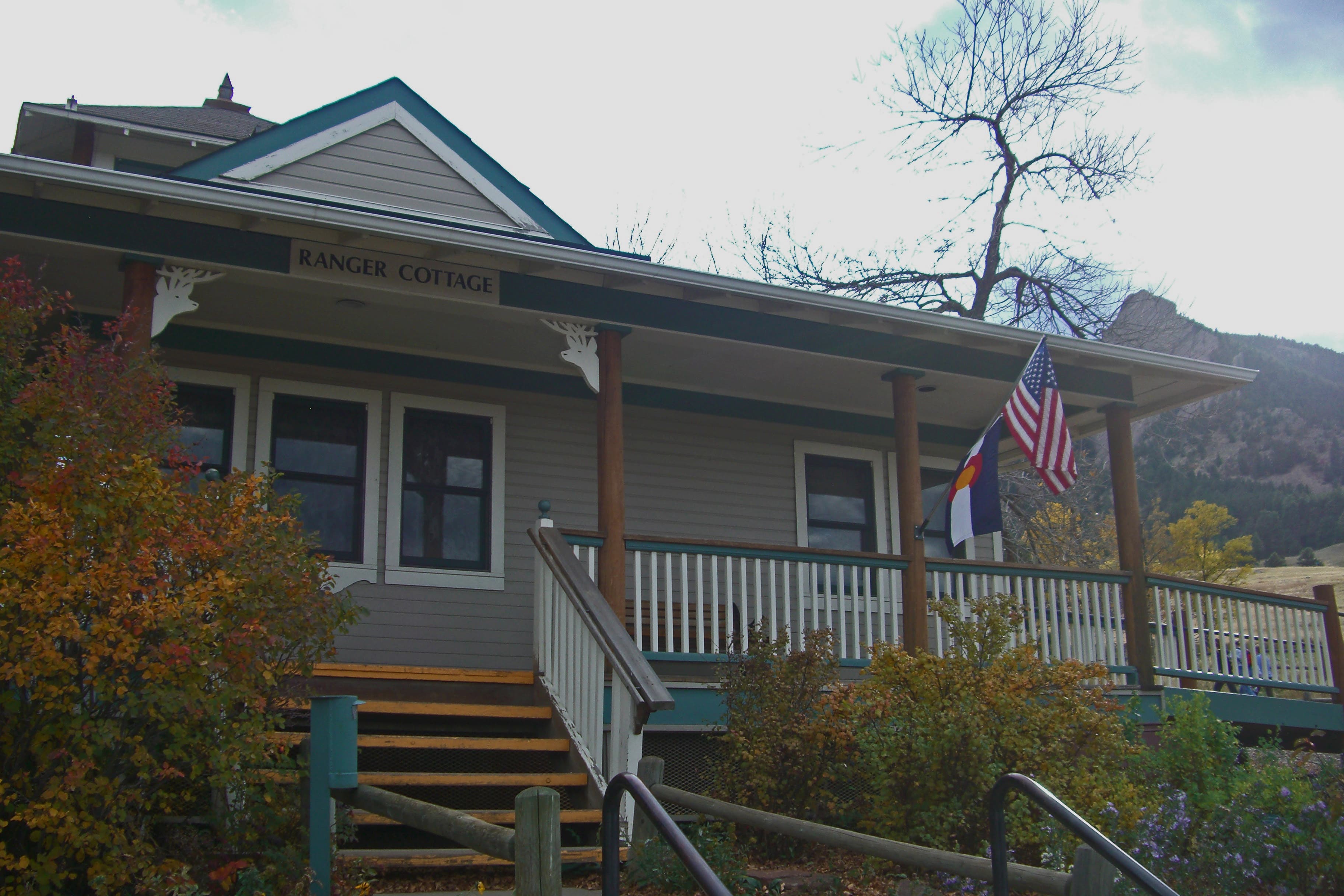
Chautauqua Park is the crown jewel of Boulder’s local trail network and the Royal Arch hike is an ideal sampler for fit (or resilient) first-timers. Starting from the Ranger Cottage, begin hiking up the Chautauqua Trail and turn off onto the Bluebell Mesa Trail before the path disappears into the woods.
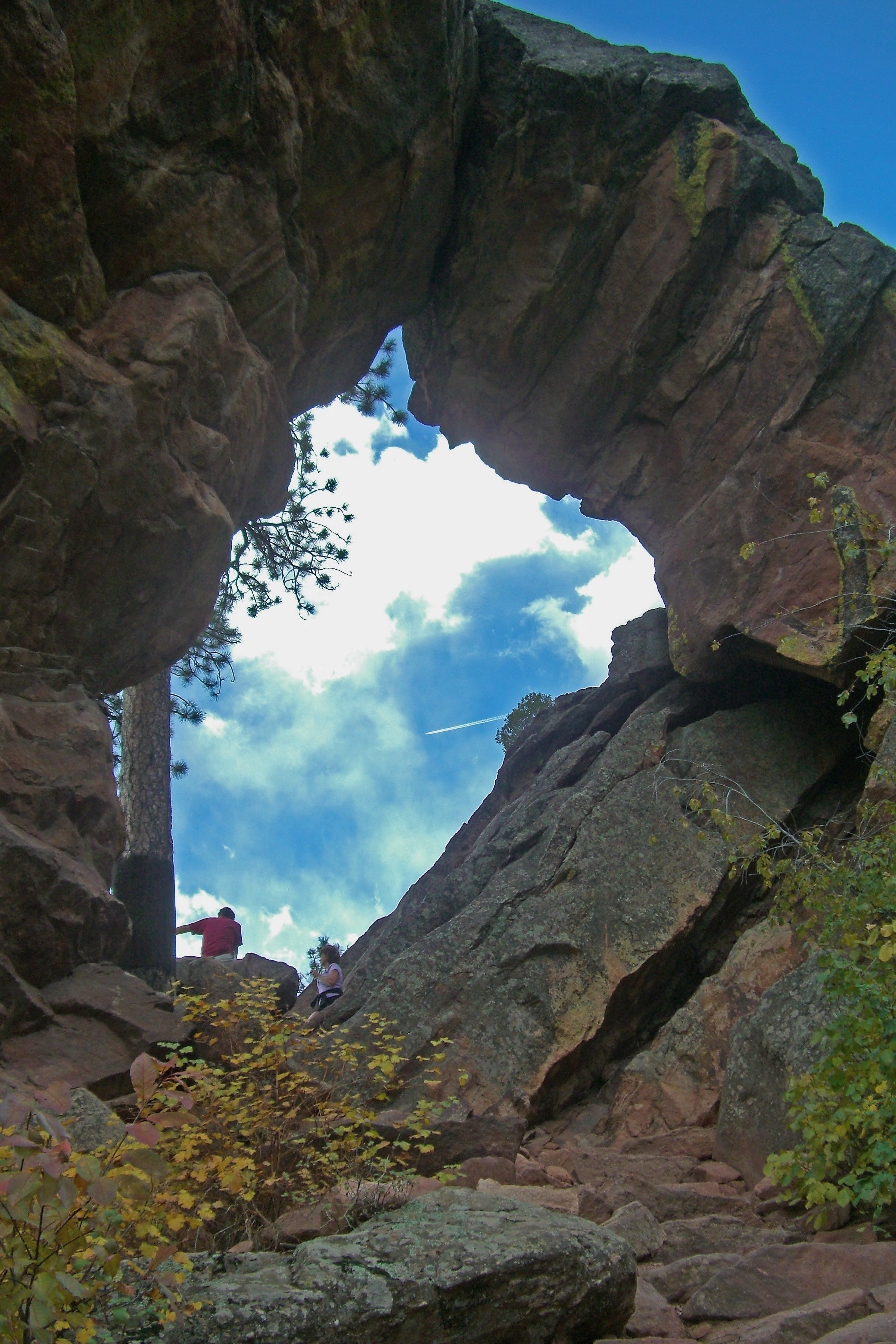
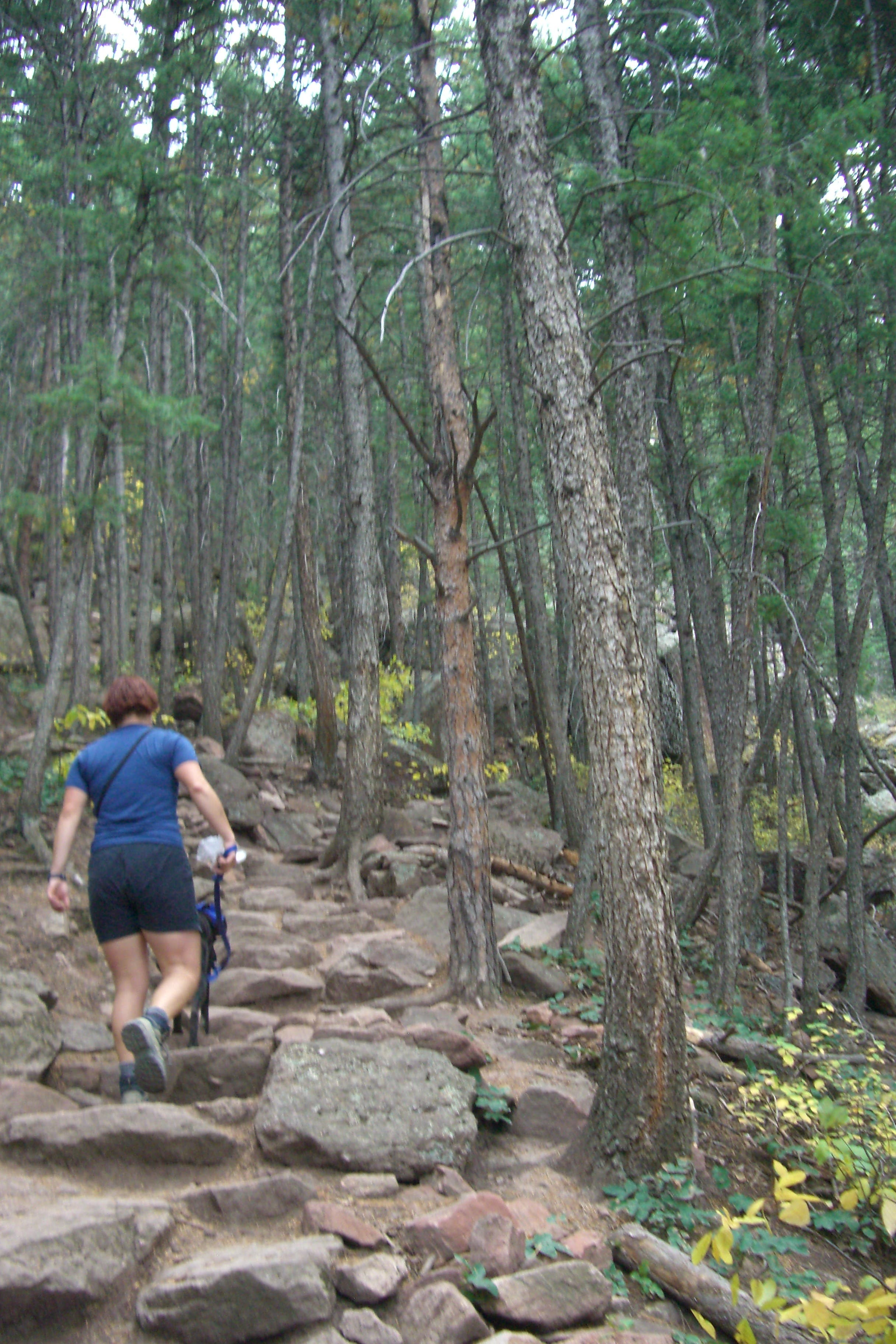
About 1.1 miles in, the gradual grade ticks up to not-so-gradual, as the trail begins a two-tiered, 0.7-mile climb up to Royal Arch. Slogging up a series of rock steps, this stretch will leave your lungs hurting on the way up, and then take a toll on your knees on the way down. The view from the top is worth it, though: Royal Arch, a rock edifice perched between drainages, offers various overlooks up and down the Front Range. After backtracking downhill for a bit, the route turns back uphill on a detour that traces one of Chautauqua’s signature Flatirons before returning to the Ranger Cottage.
-Mapped by Mark Harrison
Through the Arch
© Mark Harrison
Chautauqua Ranger Cottage
© Mark Harrison
© Mark Harrison
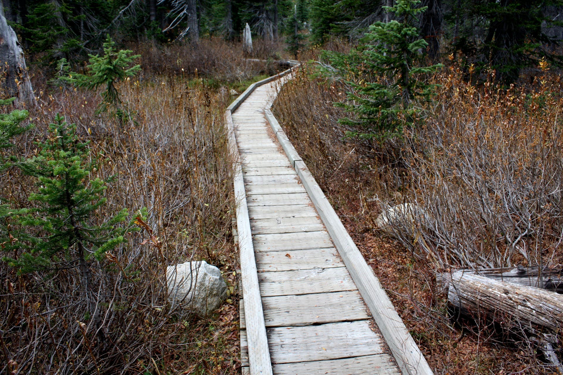
A pair of wooden boardwalks keep hikers off an erosion sensitive stretch of the trail.
© Mark Harrison
© Mark Harrison
© Mark Harrison
© Mark Harrison
© Mark Harrison
© Mark Harrison
Boulder Views
© Mark Harrison
Trail Facts
- Distance: 5.9
Waypoints
RLA001
Location: 39.9988153, -105.2829172
Chautauqua Trail Trailhead: Head southwest up the wide trail on a steady climbing grade. Boulder’s iconic Flatirons frame the foothill landscape in front of you, while behind you the town itself stretches out into the plains.
RLA002
Location: 39.9956715, -105.2862887
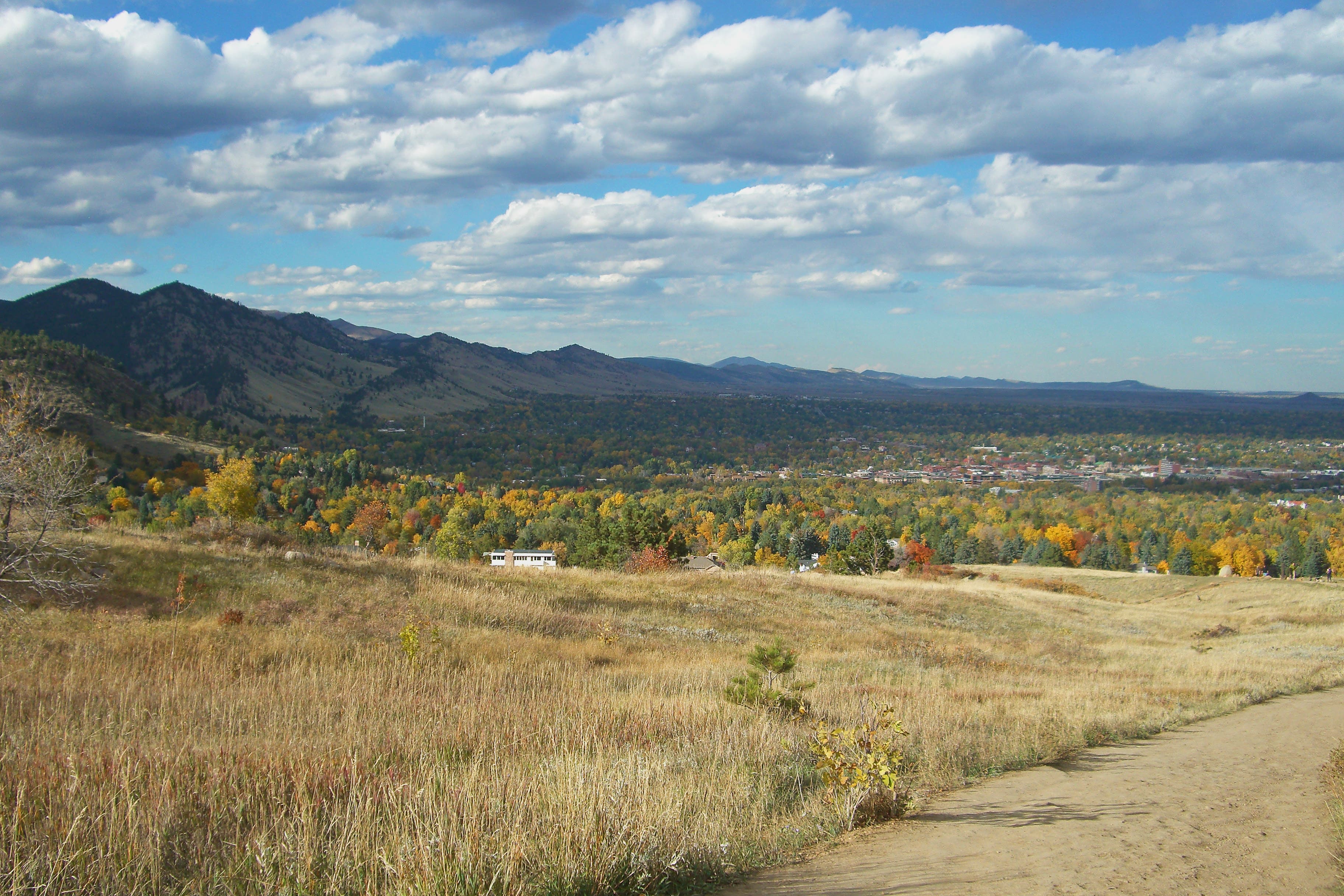
Turn left @ 3-way junction onto the Bluebell Mesa Trail. Continue hiking around the ridge with fantastic views of Boulder and the plains stretching out to the east.
RLA003
Location: 39.9955708, -105.2842449
Bear right @ Y-junction. The trail to the left can also be used to synch up with the Bluebell Shelter at Waypoint 5.
RLA004
Location: 39.9926118, -105.2876459
Follow the trail as it cuts to the left.
RLA005
Location: 39.991087, -105.2873603
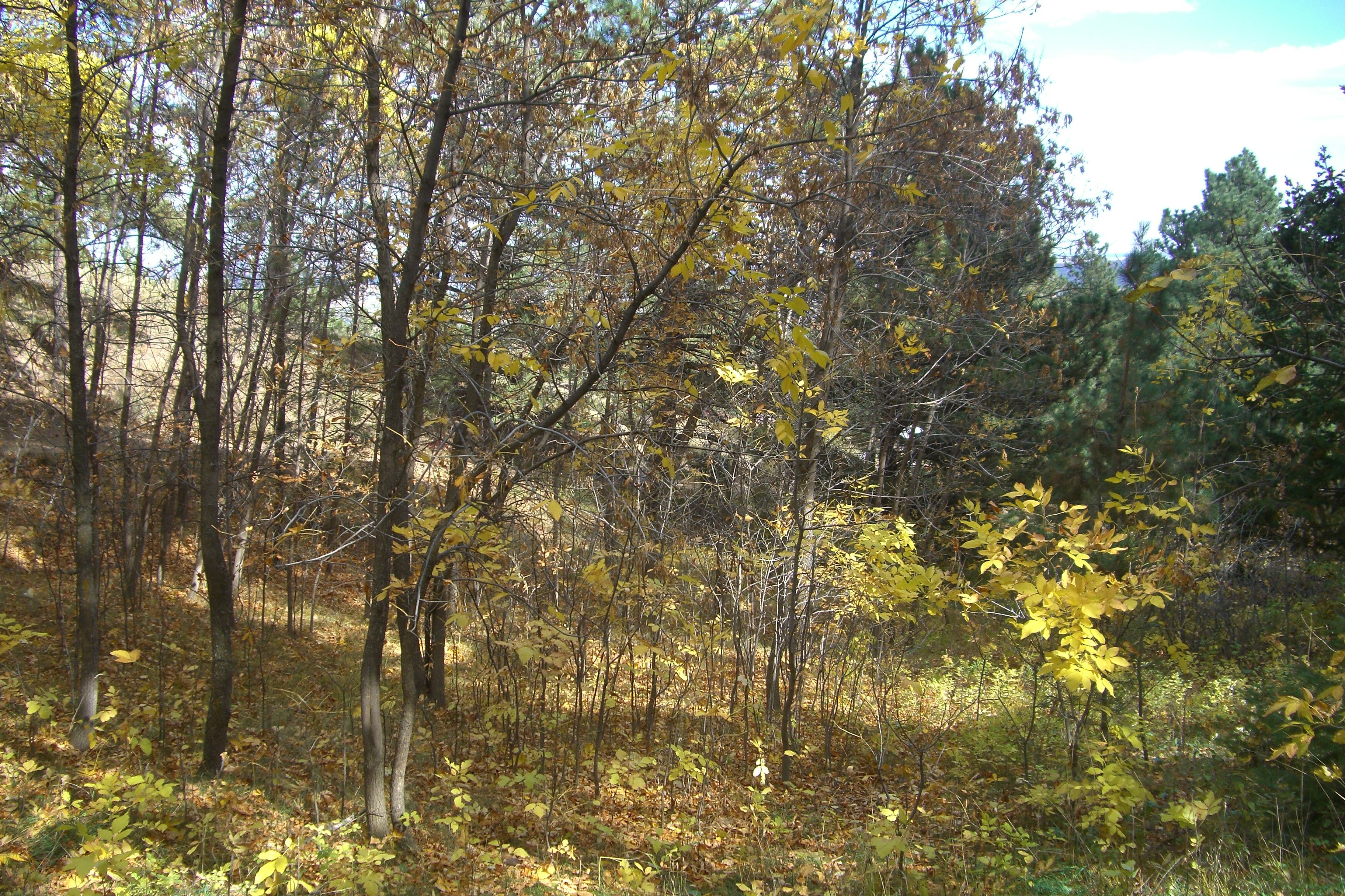
Bluebell Shelter: Restrooms are available at the shelter. From here, continue west on the signed Royal Arch trail (it’s about 0.9 mile to the summit from here). Ahead, the trail continues through a mix of deciduous and conifer forest, and winds along 2 wooden boardwalks.
RLA006
Location: 39.9893033, -105.2886263
Continue straight @ 3-way on the Royal Arch Trail. From here, the trail picks up a steep, 0.7-mile climb up rugged boulder steps to Royal Arch. There’s a brief respite from this climb at Waypoint 7. The route backtracks here on the return trip and bears left heading towards the 2nd and 3rd Flatirons.
RLA007
Location: 39.9844821, -105.2914868
Take a break from the climb amidst a collection of giant boulders perched over views of the Front Range. From here, the trail continues down a short-but-steep rock scramble, before leveling out and then beginning a steep climb to Royal Arch.
RLA008
Location: 39.9818617, -105.2915579
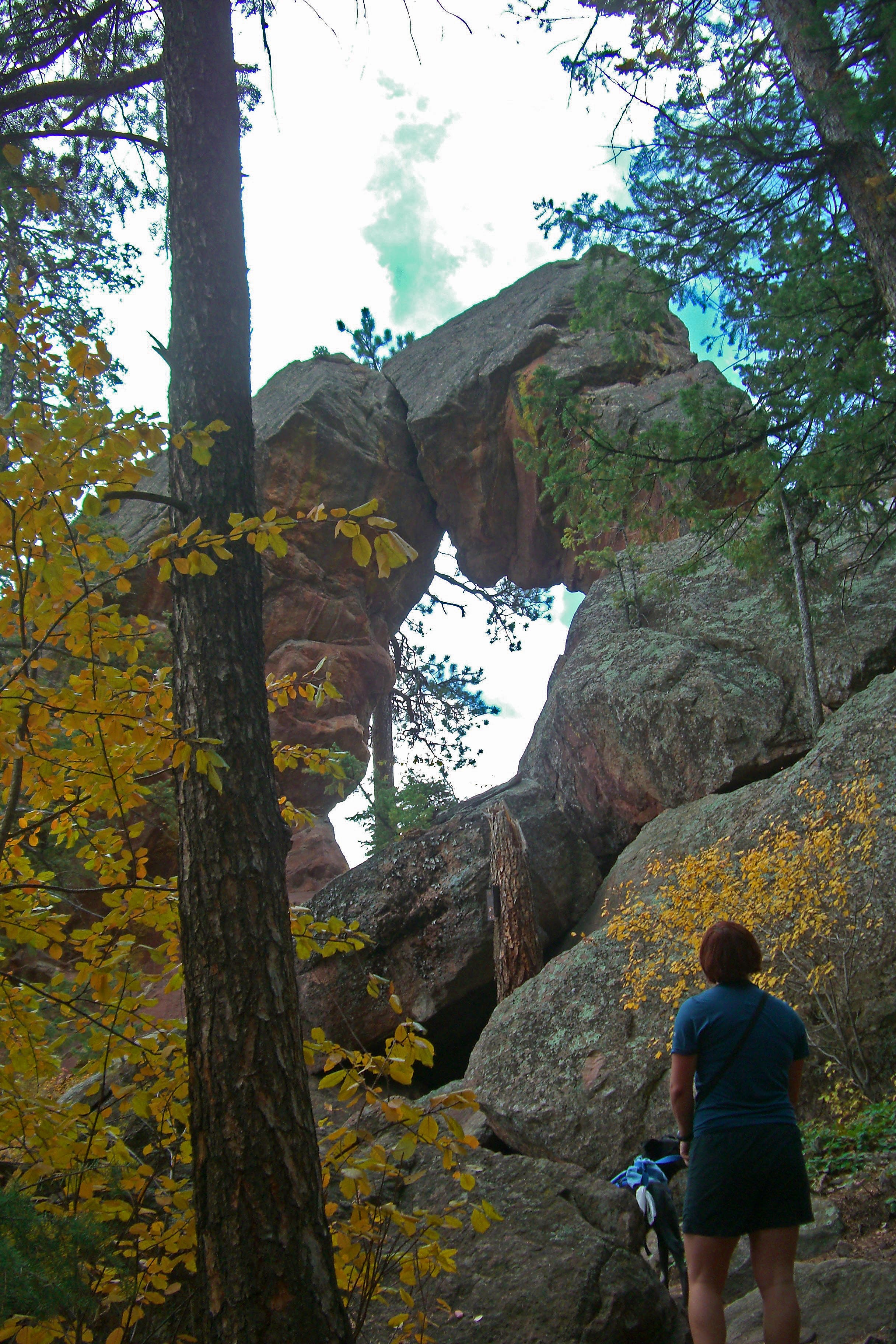
The hike tops out at a magnificent rock arch, which frames views of the Front Range and surrounding plains. Look back the way you came for another excellent view of the Flatirons. Explore the area a bit to find more astonishing overlooks, but use caution scrambling amongst the rocks. From here, descend back down to Waypoint 6 and bear left at that Y-junction.
RLA009
Location: 39.9895869, -105.2903362
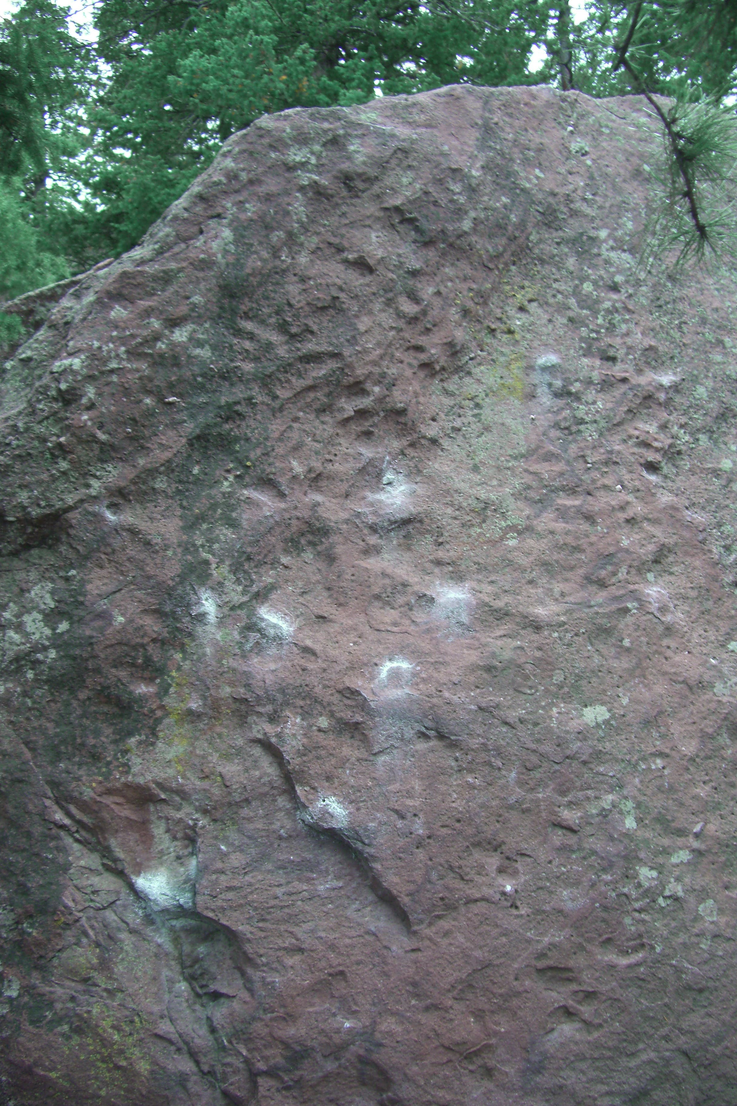
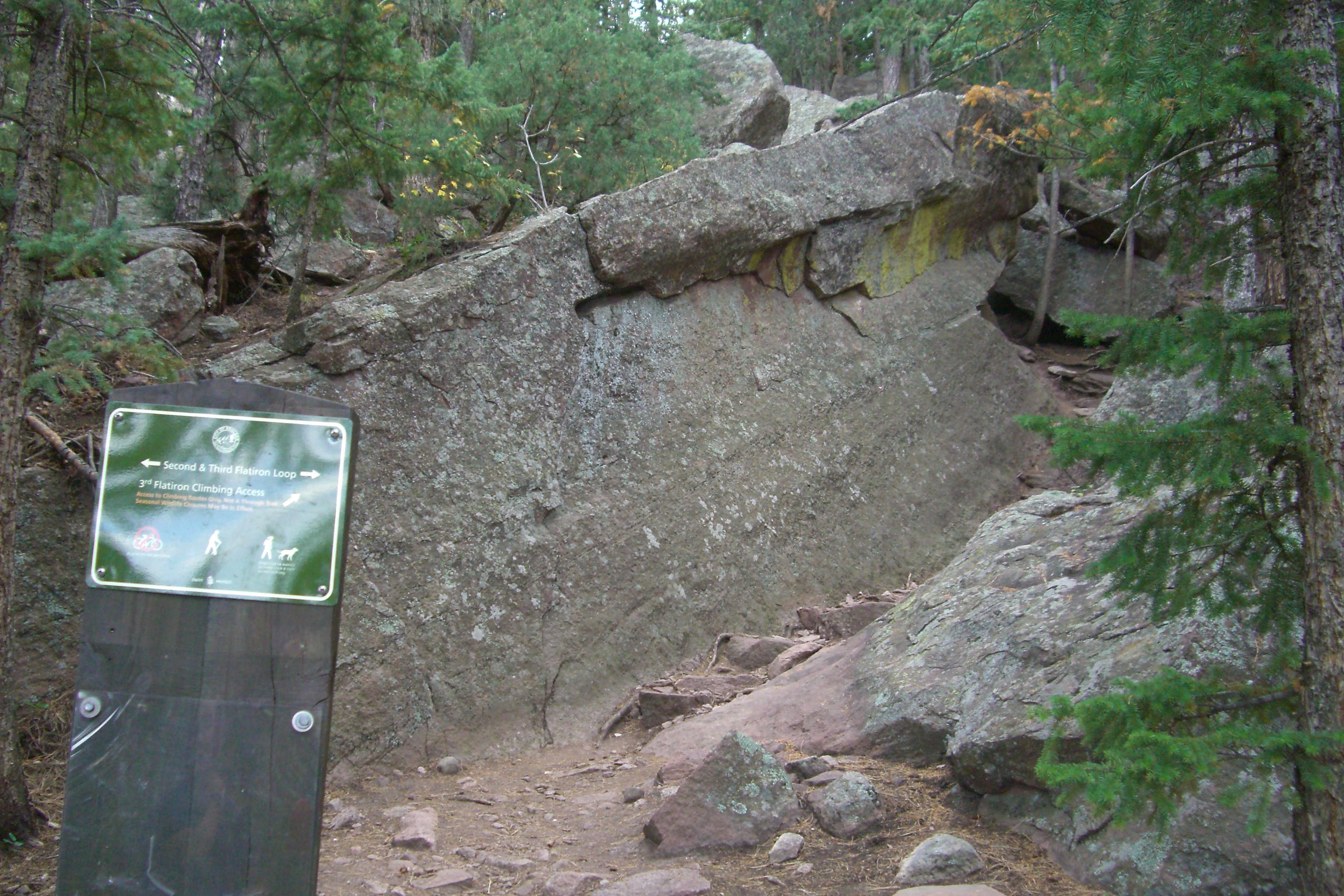
The trail encounters a modest-sized boulder often used by local climbers for bouldering. The route is a bit misleading here: Hug the right side of the boulder, and climb up a series of rock steps to continue.
RLA010
Location: 39.9894903, -105.2905548
Continue straight @ 3-way junction bypassing the access trail to the second Flatiron.
RLA011
Location: 39.991713, -105.289376
Continue straight @ 4-way junction.
RAL012
Location: 39.992779, -105.289259
Continue straight @ 4-way junction on the Chautaqua Trail. From here, continue a leisurely, even-footed descent back to the trailhead and Ranger Cottage.
Through the Arch
Location: 39.9818391, -105.2916048
© Mark Harrison
Chautauqua Ranger Cottage
Location: 39.9988153, -105.2826168
© Mark Harrison
Into the Woods
Location: 39.9924679, -105.2876848
Chautauqua offers visitors a taste of deciduous forest foliage at the foot of the Rockies. © Mark Harrison
Boardwalk
Location: 39.9910089, -105.2881019
A pair of wooden boardwalks keep hikers off an erosion sensitive stretch of the trail. © Mark Harrison
Get to Steppin’
Location: 39.9858755, -105.2912468
The boulder-staircase climb up to Royal Arch. © Mark Harrison
Royal Arch
Location: 39.9820467, -105.2916102
© Mark Harrison
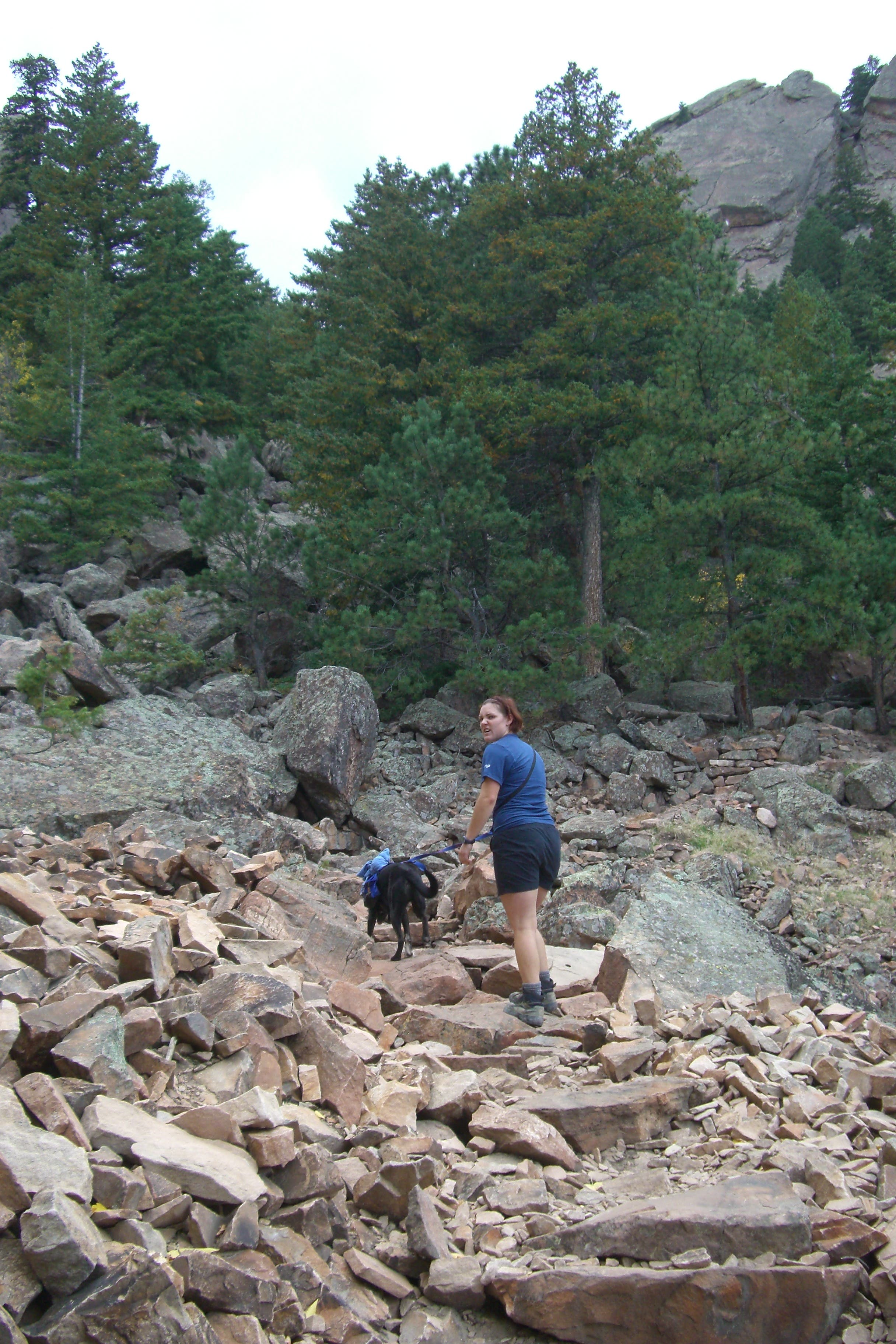
Through the Scree
Location: 39.9895006, -105.2900371
© Mark Harrison
Chalk Rock
Location: 39.9895848, -105.2903335
The trail hugs the far (right) side of this rock, continuing up a set of rock steps. © Mark Harrison
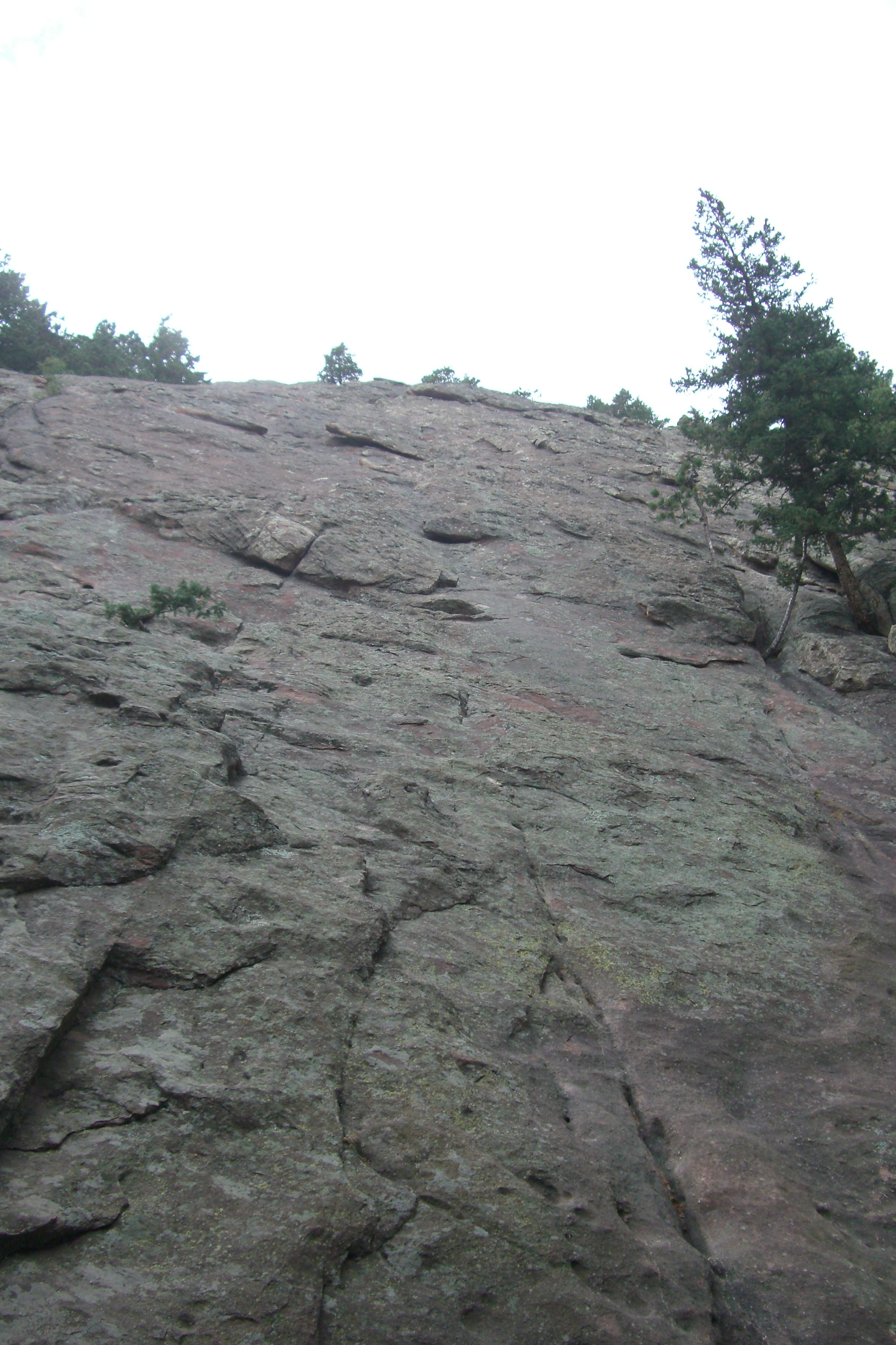
Flatiron Access
Location: 39.9894821, -105.2905507
A side trail offers climbers access to the second Flatiron. © Mark Harrison
Flatiron from Below
Location: 39.9895232, -105.2910094
The base of the second Flatiron. © Mark Harrison
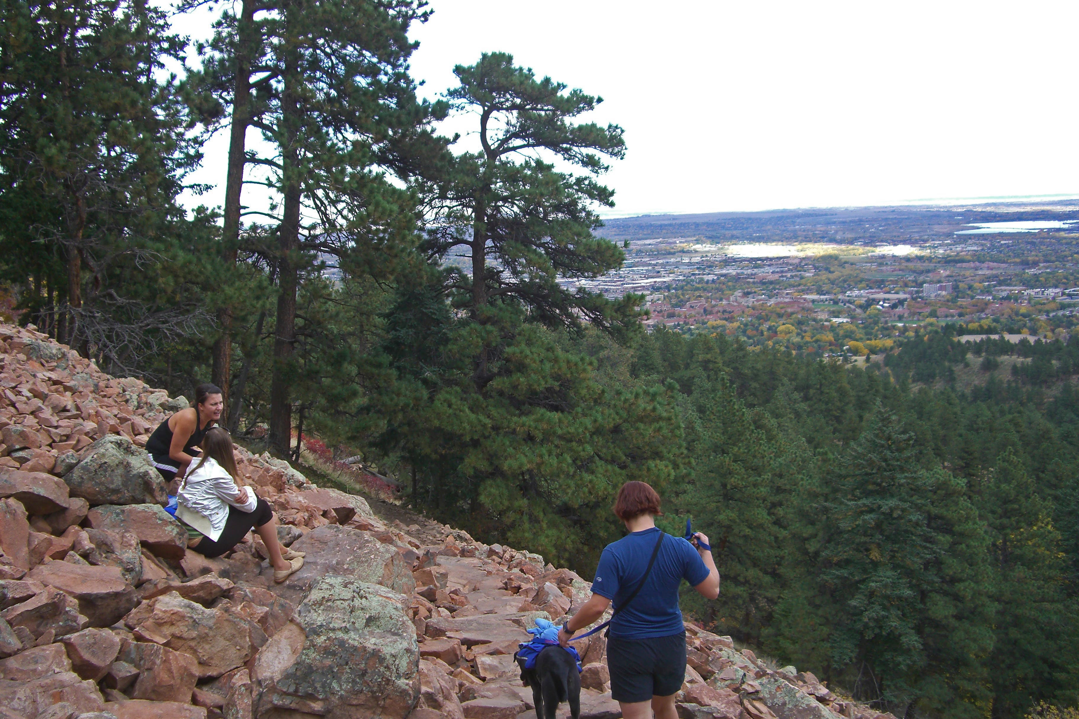
A Second Scree
Location: 39.9906514, -105.29008
The trail traverses another scree field on the return trip, offering up views of Boulder and the plains through a break in the trees. © Mark Harrison
Chautauqua Trail
Location: 39.9948023, -105.2870625
© Mark Harrison
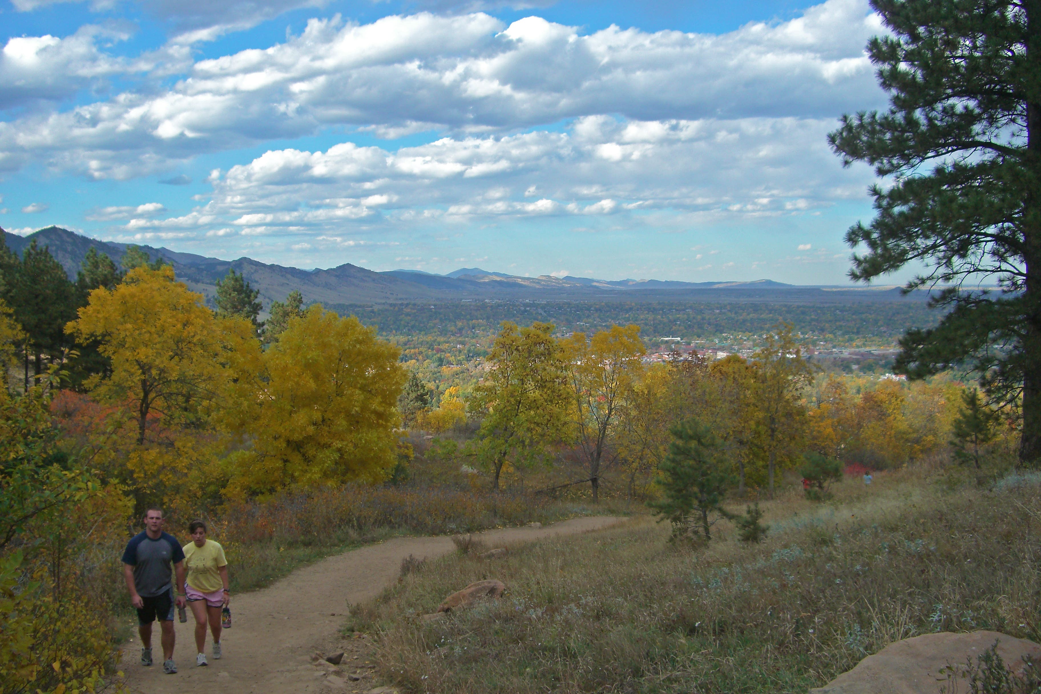
Boulder Views
Location: 39.9964215, -105.2858824
© Mark Harrison