Boulder, CO: Rainbow Lakes to Arapahoe Glacier

One of the most eye-popping routes in Boulder County, this 13-mile out-and-back through burly Indian Peaks Wilderness offers a bit of everything Front Range: mountain-rimmed lakes, fields of low bush, aspen groves, coniferous forest, a hidden waterfall, and far-reaching, 360-degree views of Rocky Mountain paradise.
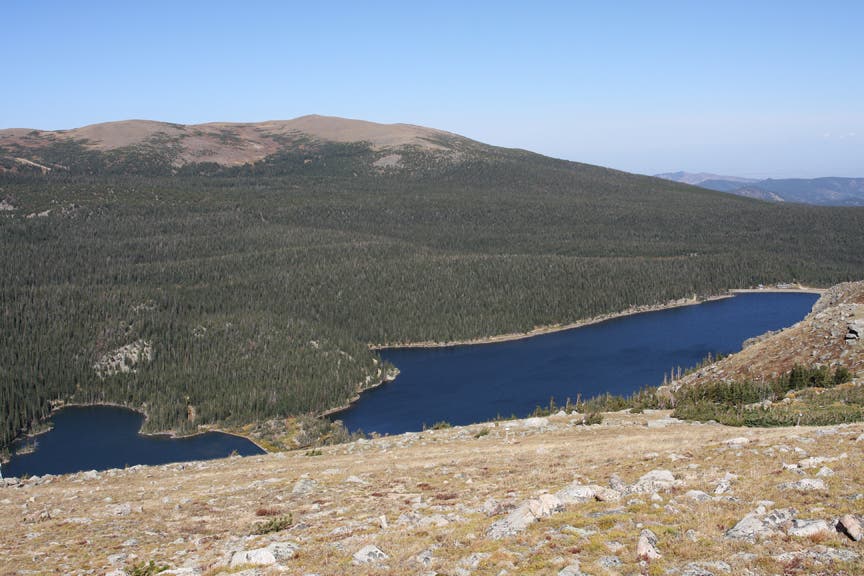
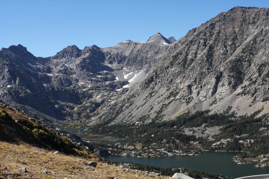
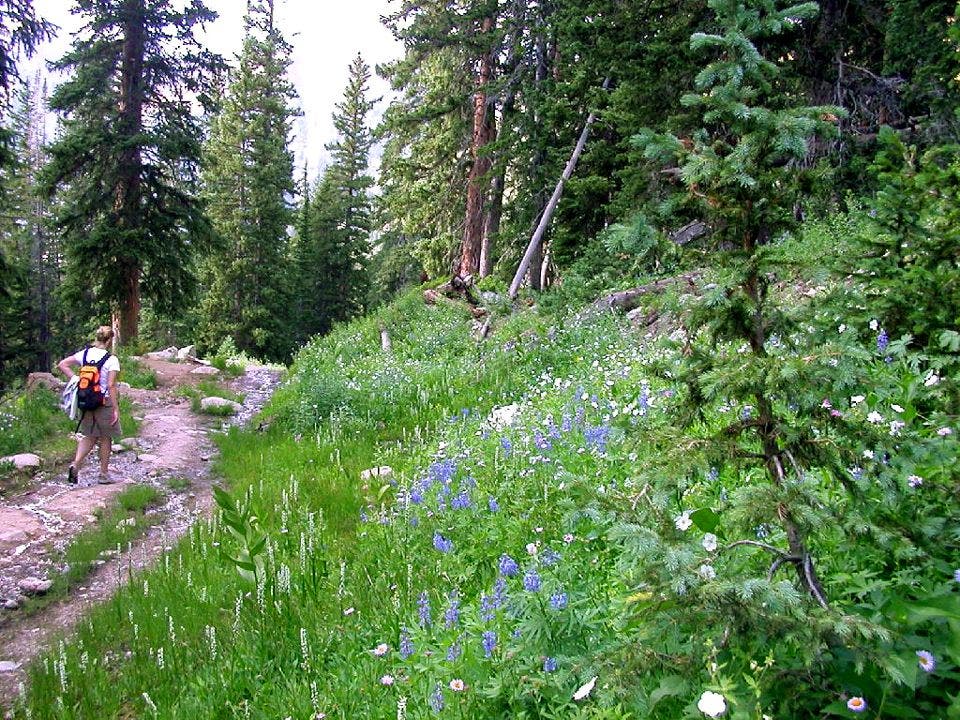
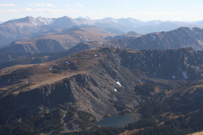
Although the trip starts off nice and easy along Rainbow Lakes, the climb to Arapahoe Glacier Lookout gains more than 3,600 feet over exposed, rocky terrain. The first half of the Arapahoe Glacier Trail is a 3-mile steady ascent under a pine and spruce canopy. Once past the tree cover, marvel at the massive lakes (Goose, Island, and Silver) that stretch from the Continental Divide to Arapahoe Moraine. Look right for views of Bald, Klondike, and Chittenden Mountains.
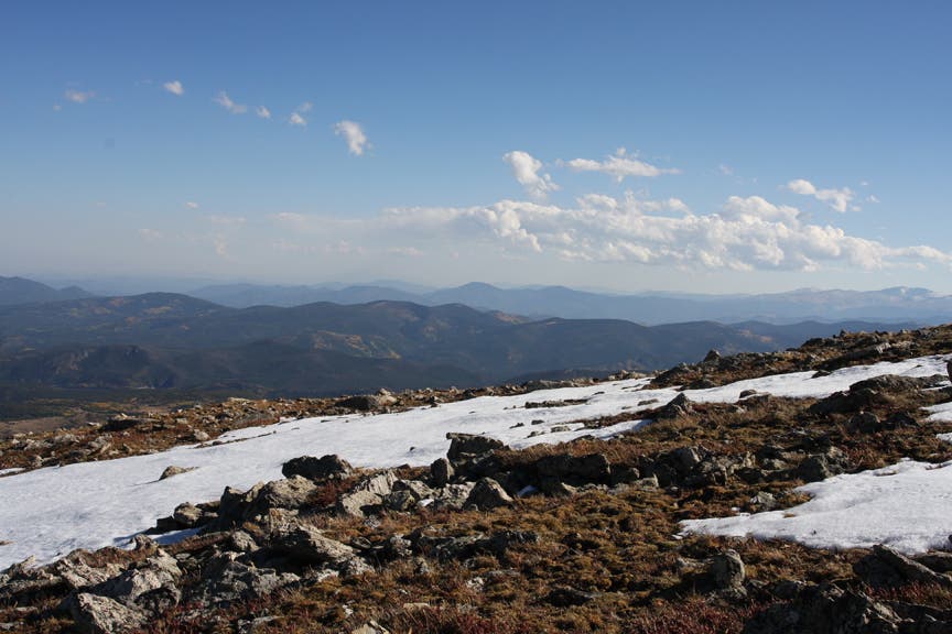
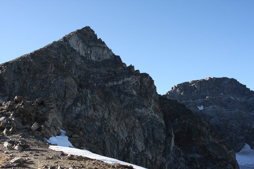
Follow the thin trail as it switchbacks to a 12,000-foot saddle where vast mountain views await. From the saddle, it’s a 2-mile march over gnarly singletrack to Arapahoe Glacier Lookout. Even if you take time to catch your breath at the lookout, you’ll lose it again at the sight of craggy North and South Arapahoe peaks. When finished, retrace your steps back to the trailhead.
-Mapped by MacKenzie Ryan and Chelise Simmons
Trail Facts
- Distance: 21.1
Waypoints
RLA001
Location: 40.010495, -105.572214
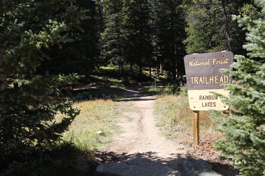
Rainbow Lakes Trailhead: Follow the soft, dirt trail west. A dried-up river bed will be on the right.
RLA002
Location: 40.011043, -105.573836
Reach the Indian Peaks Wilderness Boundary and turn left up the rocky trail toward Rainbow Lakes.
RLA003
Location: 40.012003, -105.577455
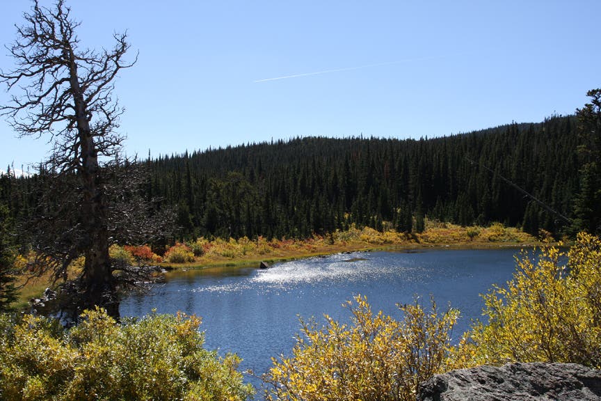
Pass the first of three lakes on the left. A spur trail is clearly visible to the left of the Rainbow Lakes Trail.
RLA004
Location: 40.013, -105.583259
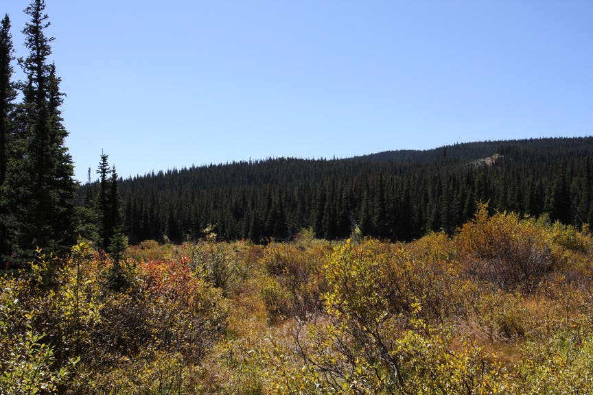
Pass a marshy field full of low bushes on the left-hand side of the trail. Continue along the trail, and cross over two creeks on wooden footbridges. There is some boulder-hopping involved during the summer season.
RLA005
Location: 40.012776, -105.584933
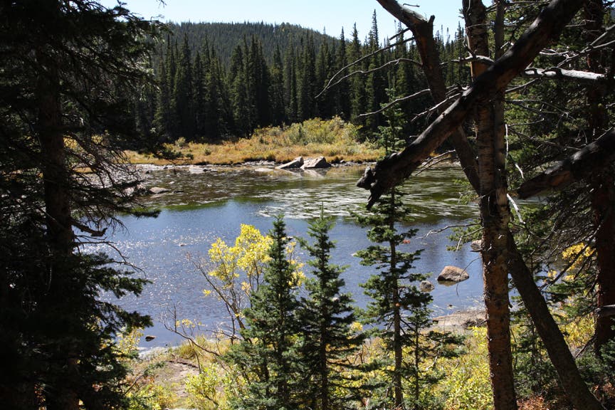
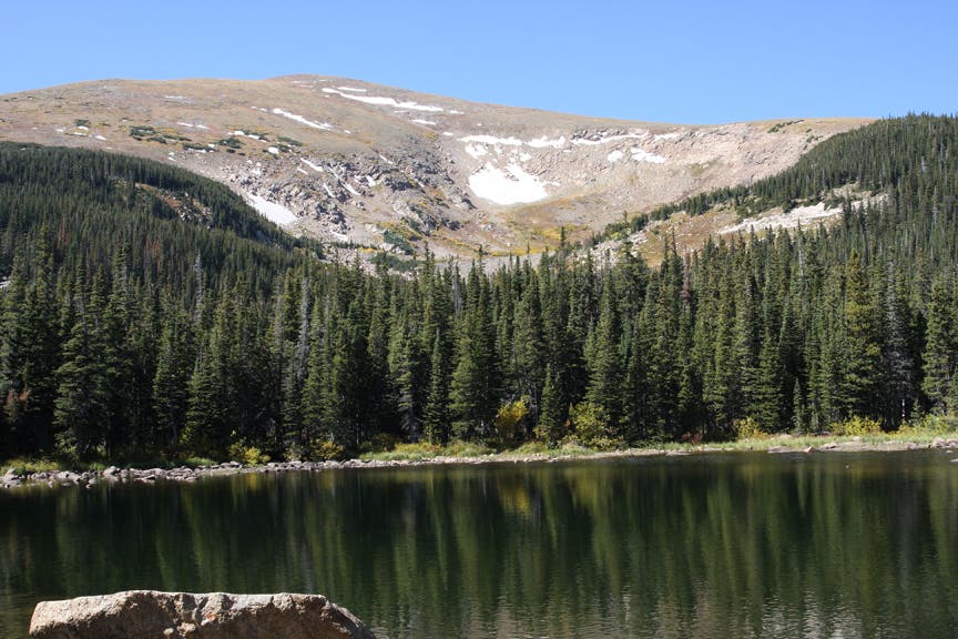
Reach the last two Rainbow Lakes, which sit at the eastern base of Caribou Peak. A spur trail to the left takes hikers down to the first lake. To access the second lake from the trail, scramble up the boulder field. A smaller lake sits south of the massive rock pile. Turn around and retrace steps back to the trailhead.
RLA006
Location: 40.010479, -105.57224
After reaching the Rainbow Lakes Trailhead, continue left through the parking lot toward the Glacier Rim Trailhead.
RLA007
Location: 40.010716, -105.571608
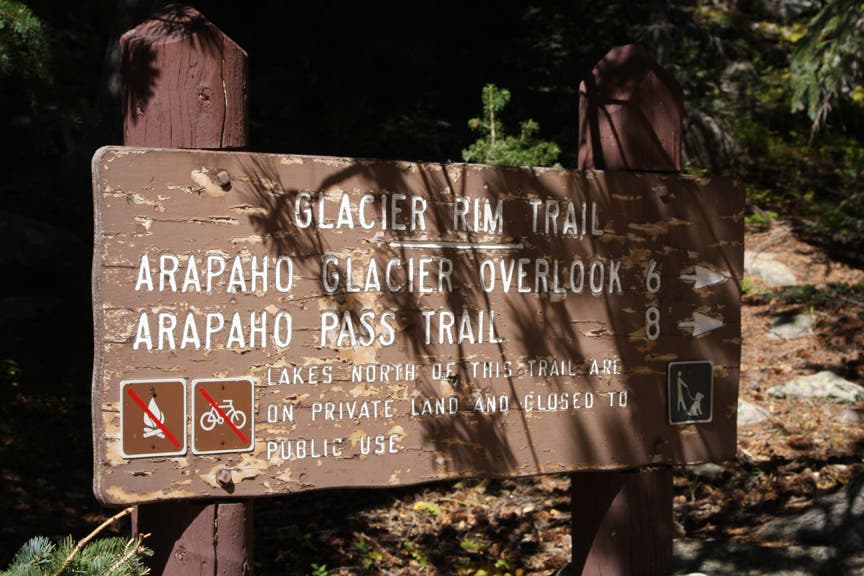
Reach the Glacier Rim Trailhead and bear right up the Glacier Rim Trail.
RLA008
Location: 40.016936, -105.570943
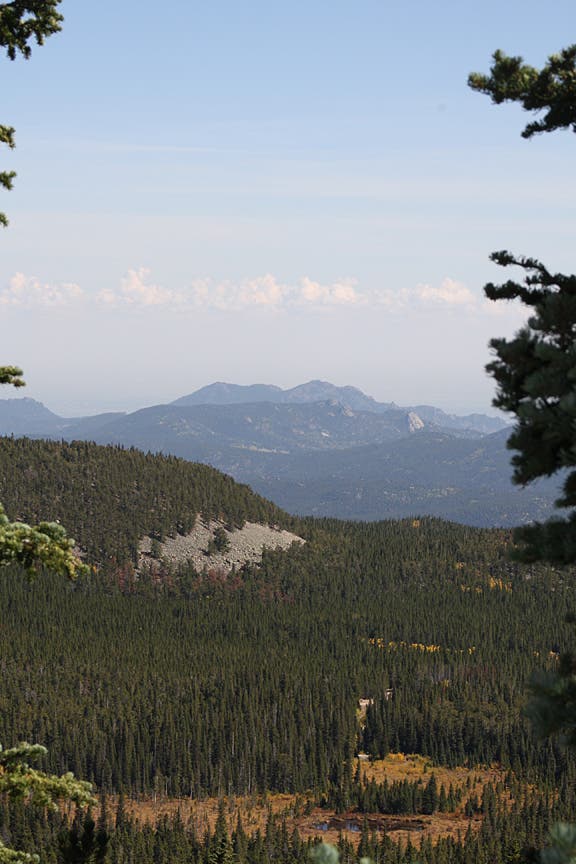
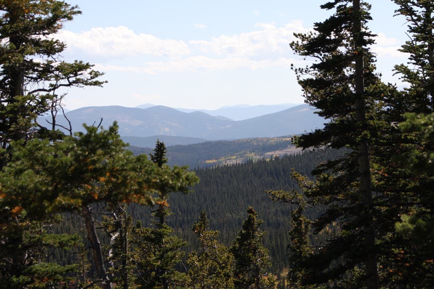
On the right side of the trail, a break in the trees reveals a sweeping panorama of Boulder County and the surrounding mountains.
RLA009
Location: 40.023283, -105.586486
After a short switchback ascent, the trail begins to climb up a steep grade.
RLA010
Location: 40.022973, -105.592894
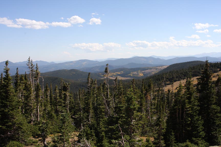
After hiking a few miles through pine and spruce cover, the trail reaches wide open space. From here, the thin, crushed granite singletrack travels west toward a series of long switchbacks.
RLA011
Location: 40.022995, -105.597496
Goose and Silver lakes are to the right. Continue east for a short distance, then turn up the mountain.
RLA012
Location: 40.014494, -105.614152
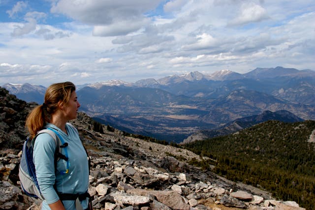
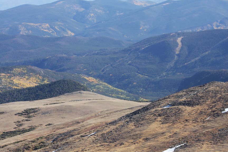
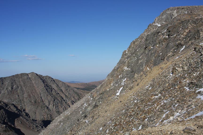
After following the switchbacks along the north face of the first mountain, reach a saddle with 360-degree views. West of this point, the Continental Divide stretches north to south. Eldora Ski Resort and Bald Mountain are directly south. Boulder and Denver are to the far east. After marveling at the scene, follow the ridgeline trail over a rocky, crushed granite trail.
RLA013
Location: 40.015816, -105.643995
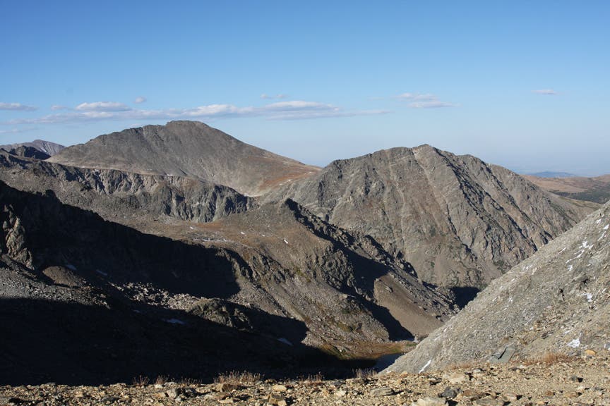
Arapahoe Glacier Lookout: The Arapahoe Peaks form a bowl to the left. To continue further, bear left and continue 3 miles to Arapahoe Pass. To turn back, retrace steps back to Glacier Rim Trailhead.
Rainbow Lakes Trailhead
Location: 40.010502, -105.57216
©MacKenzie Ryan
First Lake
Location: 40.010097, -105.579042
©MacKenzie Ryan
Field of Low Bush
Location: 40.013088, -105.582733
©MacKenzie Ryan
Second Lake
Location: 40.012768, -105.584664
©MacKenzie Ryan
Third Lake
Location: 40.012768, -105.584857
©MacKenzie Ryan
Glacier Rim Trailhead
Location: 40.010721, -105.571522
©MacKenzie Ryan
Boulder County and the surrounding mountains
Location: 40.016112, -105.570631
©MacKenzie Ryan
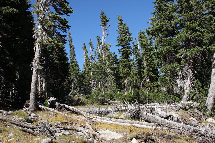
Fallen Trees
Location: 40.021896, -105.582561
©MacKenzie Ryan
Views to the South
Location: 40.021173, -105.579901
©MacKenzie Ryan
Breaking through the tree cover
Location: 40.022751, -105.585737
©MacKenzie Ryan
Above Treeline
Location: 40.022619, -105.590887
©MacKenzie Ryan
Island and Silver Lakes
Location: 40.022751, -105.589514
©MacKenzie Ryan
Goose Lake
Location: 40.018281, -105.606165
©MacKenzie Ryan
The Trail
Location: 40.022718, -105.596466
©MacKenzie Ryan
The Saddle
Location: 40.015027, -105.613332
©MacKenzie Ryan
Eagle soaring past the saddle
Location: 40.014074, -105.627279
©MacKenzie Ryan
En route to the lookout
Location: 40.013154, -105.637429
©MacKenzie Ryan
Easternmost mountain at Arapahoe Glacier Lookout
Location: 40.014468, -105.641613
©MacKenzie Ryan
North Arapahoe Peak
Location: 40.015192, -105.643158
©MacKenzie Ryan
South Arapahoe Peak
Location: 40.014797, -105.642386
©MacKenzie Ryan