Boulder, CO: Mount Sanitas via Dakota Ridge Trail

At first glance, the 6,863-foot summit of Mount Sanitas may seem modest compared to the 8,000-foot peaks dotting the ridgeline west of Boulder, but this 4-mile hike (or trail run) packs plenty of punch for a short outing.
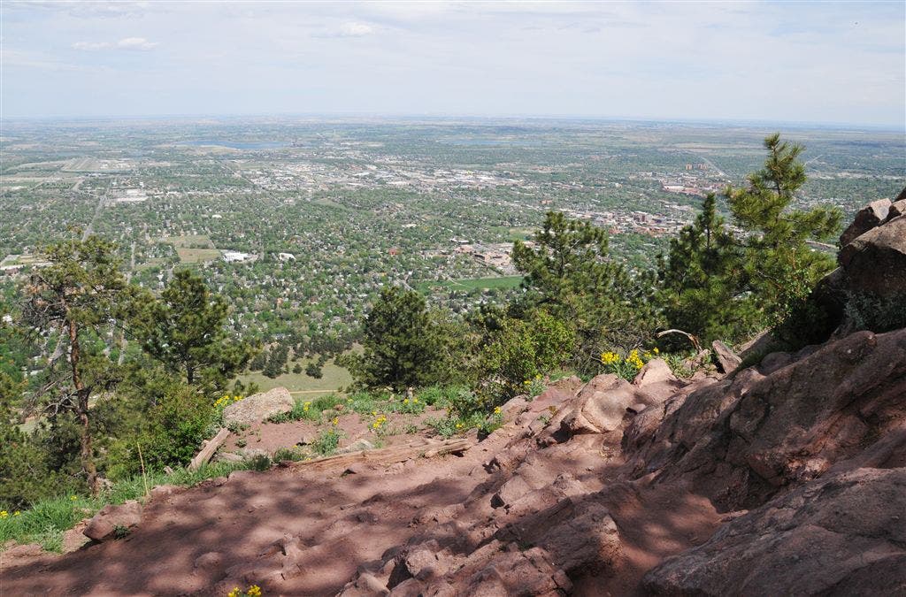
From the Mount Sanitas Trailhead at the west end of Mapleton Avenue, follow the gentle Sanitas Valley Trail to the north up the drainage. After 0.3 mile, turn right onto a dirt path that leads out of the drainage and connects with the Dakota Ridge Trail. Walk along a rolling ridge for the next mile to the base of Mount Sanitas. From here, you’ll navigate a steep obstacle course of switchbacks, rock steps, and giant boulders (and pass expansive views overlooking Boulder). At Sanitas’ small summit, take in expansive views of Boulder and the eastern plains before retracing your route back to the trailhead.
-Mapped by Kim Phillips



Trail Facts
- Distance: 3.2
Waypoints
SAN001
Location: 40.020622253418, -105.291679382324
Walk west along Mapleton Avenue for roughly 750 feet to the Mount Sanitas Trailhead on the right side of the road.
SAN002
Location: 40.020751953125, -105.294166564941
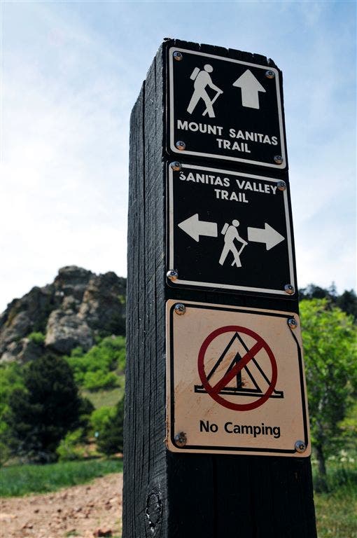
Leave the sidewalk and bear right onto the marked Mount Sanitas Valley Trail. Walk northwest on wide, dirt path.
SAN003
Location: 40.021240234375, -105.29524230957
Turn right @ signed 4-way junction onto the Mount Sanitas Valley Trail (Mount Sanitas Trail continues straight). Ahead, trail gradually climbs to north up the drainage.
SAN004
Location: 40.0236968994141, -105.296195983887
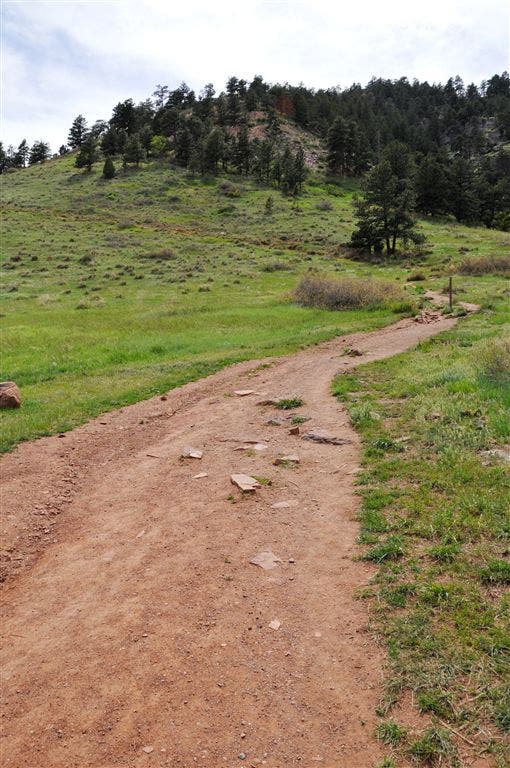
Turn right off of Sanitas Valley Trail onto dirt path @ 3-way junction. Climb out of the drainage, heading southeast.
SAN005
Location: 40.0234069824219, -105.295211791992
Turn left @ 3-way and hike north on the Dakota Ridge Trail.
SAN006
Location: 40.0250625610352, -105.296173095703
Bear right @ 3-way. Continue gradual climb north.
SAN007
Location: 40.0275268554688, -105.296173095703
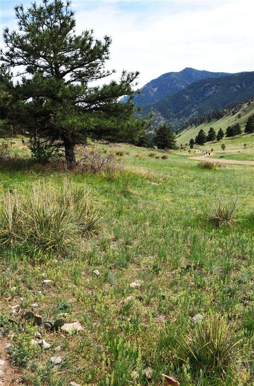
Bear right @ Y-junction to stay on the Dakota Ridge Trail. Ahead, the trail winds across grassy hillsides.
SAN008
Location: 40.0324440002441, -105.296562194824
Continue heading north on gently rolling trail. Look behind you for views extend across grassy, pine-dotted hillsides to The Flatirons.
SAN009
Location: 40.0349502563477, -105.297386169434
Continue straight @ 3-way junction (Sanitas Valley Trail enters on the left). A small bench on the right overlooks Boulder.
SAN010
Location: 40.0343132019043, -105.300285339355
The trail swings to the right; switchback climb ahead.
SAN011
Location: 40.0346603393555, -105.30110168457
Trail cuts to the left, heading southwest through open forest.
SAN012
Location: 40.0345153808594, -105.303375244141
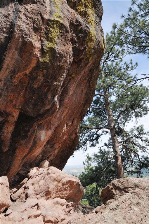
Trail passes beneath a gigantic boulder, then curves to the northwest. Walk through fragrant pines.
SAN013
Location: 40.0347175598144, -105.304374694824
Prepare for a steep obstacle course of rock steps and giant boulders.
SAN014
Location: 40.0344009399414, -105.305335998535
Mount Sanitas (6,863 ft.): A metal rod marks this small, rocky summit. Rest your legs while taking in the expansive views of Boulder and the eastern plains. Retrace steps back to trailhead.
Mount Sanitas Trailhead
Location: 40.020751953125, -105.294136047363
First Trail Junction
Location: 40.021240234375, -105.295234680176
Continue straight on Mount Sanitas Trail.
Dakota Ridge Trail
Location: 40.0303688049316, -105.296318054199
Views from Dakota Ridge Trail
Location: 40.0324554443359, -105.296607971191
Dakota Ridge Trail Junction
Location: 40.0349617004394, -105.297370910645
Views to the West
Location: 40.0358772277832, -105.298980712891
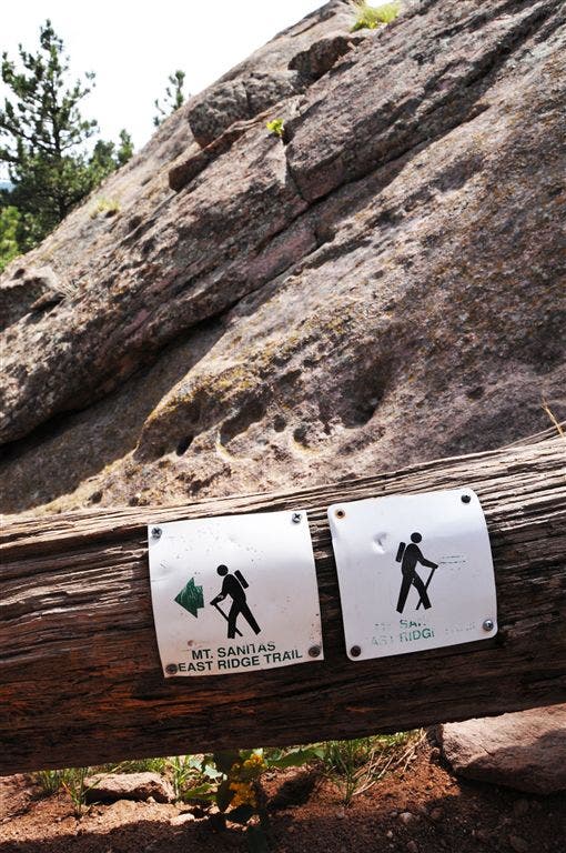
Trail Sign
Location: 40.0345001220703, -105.303482055664
Trailside Boulder
Location: 40.0345878601074, -105.303787231445
Summit Views
Location: 40.0344009399414, -105.305305480957
Views stretch across Boulder from the summit of Mount Sanitas.