Published September 20, 2013 03:31PM
Boulder, CO: Meyers Homestead Trail
Cruise 5.2 miles along gentle foothills, Ireland-esque pastures, and past an old sawmill to a vista overlooking Boulder Canyon and the Front Range.
'Giggs Huang'
Trail Facts
- Distance: 4.1
Waypoints
MHT001
Location: 39.9580497741699, -105.338752746582
Trail ambles WNW on doubletrack, passing scarred remains of a forest fire up ahead on L
MHT002
Location: 39.9616813659668, -105.344497680664
Short descent; remnants of old sawmill built by James Walker on L
MHT003
Location: 39.9623680114746, -105.344200134277
Stay straight on main path
MHT004
Location: 39.967399597168, -105.345932006836
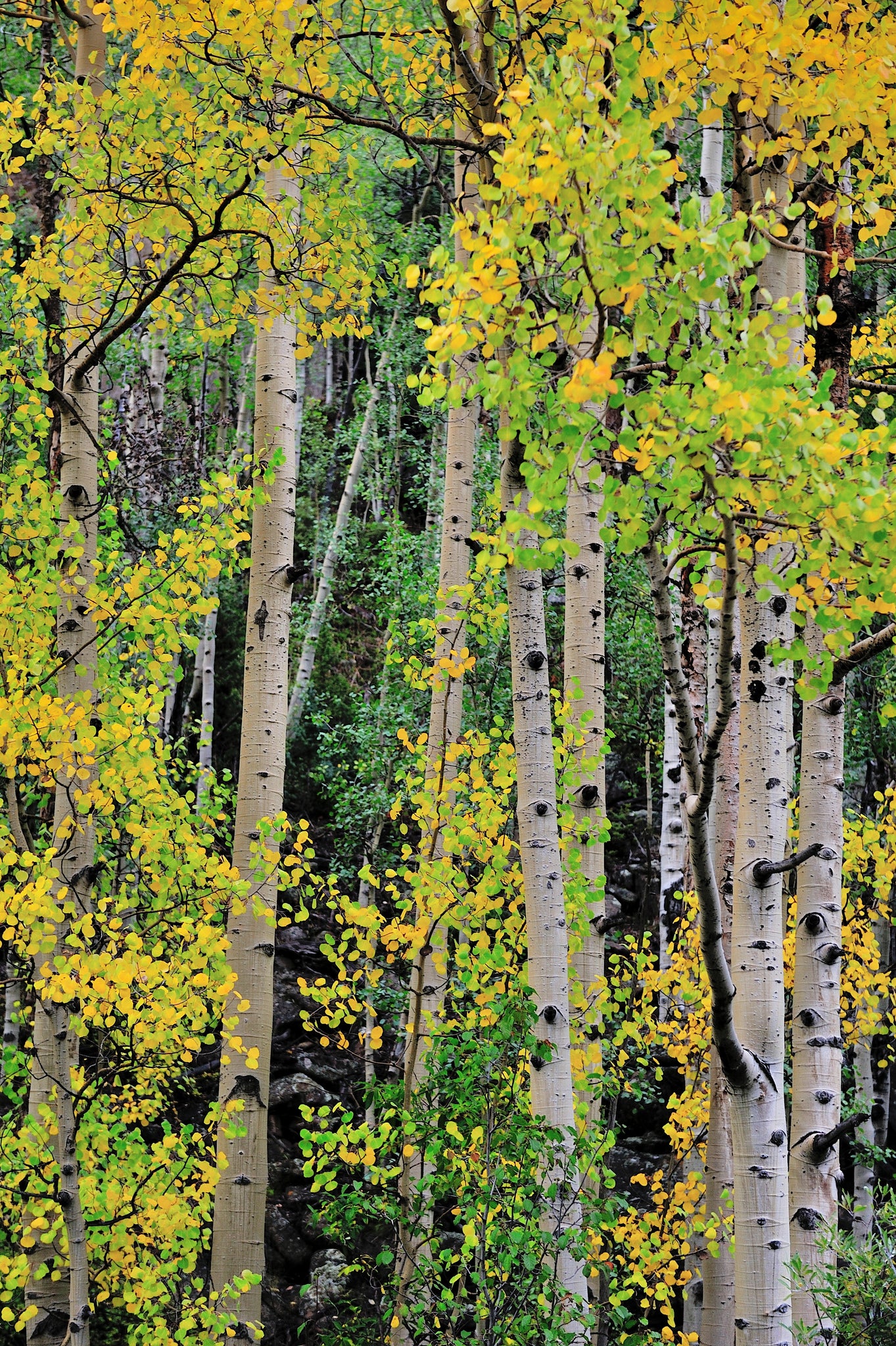
Trail leaves old pastureland, climbing along Meyers Gulch into a mixed forest of aspen, Douglas firs, and ponderosa pine
MHT005
Location: 39.9692153930664, -105.34888458252
In late summer, watch for wild raspberries and chokecherries
MHT006
Location: 39.9700164794922, -105.351234436035
Keep straight, staying off eroded fire road
MHT007
Location: 39.9730987548828, -105.355796813965
Rabbits dodge in and out of brushpiles on R
MHT008
Location: 39.9752197265625, -105.356369018555
Tight stand of young aspens
MHT009
Location: 39.9778213500977, -105.362251281738
More rolling green hills; watch for deer and black bear
MHT010
Location: 39.981029510498, -105.363380432129
View reveals the deep grooves of Boulder Canyon on R
MHT011
Location: 39.9814300537109, -105.364471435547
ADVERTISEMENT
Overlook: Views of Sugarloaf Mtn. and the haze-shrouded spires of Indian Peaks.
Return the way you came