Published September 20, 2013 03:30PM
Boulder, CO: Caribou Lake via Arapaho Pass Trail
Discover the blue pearls of famed Indian Peaks Wilderness on this moderate 8.4-mile high alpine hike.
Trail Facts
- Distance: 6.7
Waypoints
CLT001
Location: 39.9953651428223, -105.634429931641
From Fourth of July trailhead, head NW
CLT002
Location: 40.0005149841309, -105.639167785645
Good view of waterfall to W; turn R up switchback
CLT003
Location: 40.0032005310059, -105.643913269043
Mountain stream plummets to North Fork Boulder Creek
CLT004
Location: 40.0041351318359, -105.646385192871
Diamond Lake Trail; stay R on Arapaho Pass
CLT005
Location: 40.0071983337402, -105.652397155762
Trail meanders through low shrubs then quickly moves above treeline
CLT006
Location: 40.0077514648438, -105.654083251953
Braided creekbed; impressive views of rocky face of S. Arapaho
CLT007
Location: 40.010368347168, -105.658470153809
Veer L @ junction with Arapaho Glacier Trail; look for abandoned remains of Fourth of July Mine
CLT008
Location: 40.0149154663086, -105.675033569336
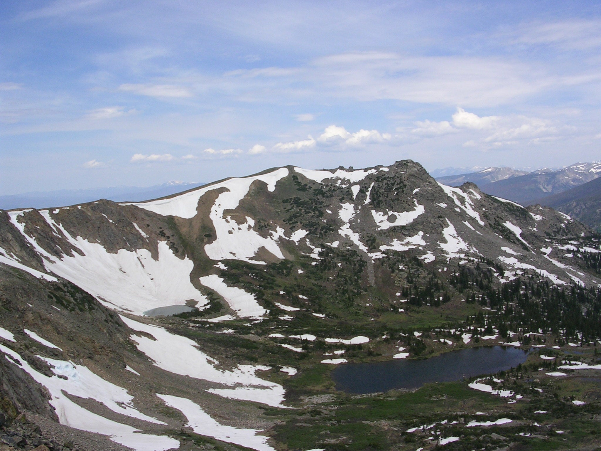
Small ponds dot the valley floor below; continue climb to Arapaho Pass
CLT009
Location: 40.0144004821777, -105.678070068359
R @ T; continue through Arapaho Pass. Optional: Hike .3 mi. to Lake Dorthy via Caribou Pass Trail
CLT010
Location: 40.0149841308594, -105.67765045166
ADVERTISEMENT
Panorama of Caribou Lake and Santana Peak; switchback down to lake
CLT011
Location: 40.0222663879394, -105.681816101074
Caribou Lake; several campsites (permit required); return via same route