Boston, MA: North Skyline Trail

'Steven Isaacson'
This 9-mile loop offers a challenging ridgetop hike in one of Boston’s best-kept secrets. The Blue Hills Reservation is 7,000 acres of upland and bottomland forests, wetlands, meadows, ponds, and an Atlantic white cedar bog—all within half an hour of downtown.
Pick up a trail map at headquarters, then begin on the blue-blazed North Skyline Trail and hike northeast to Hancock Hill. Turn east and pass several trail junctions as you traverse Hemenway and Wolcott Hills on your way to the rocky summit of Great Blue Hill, the reservation’s high point at 635 feet.
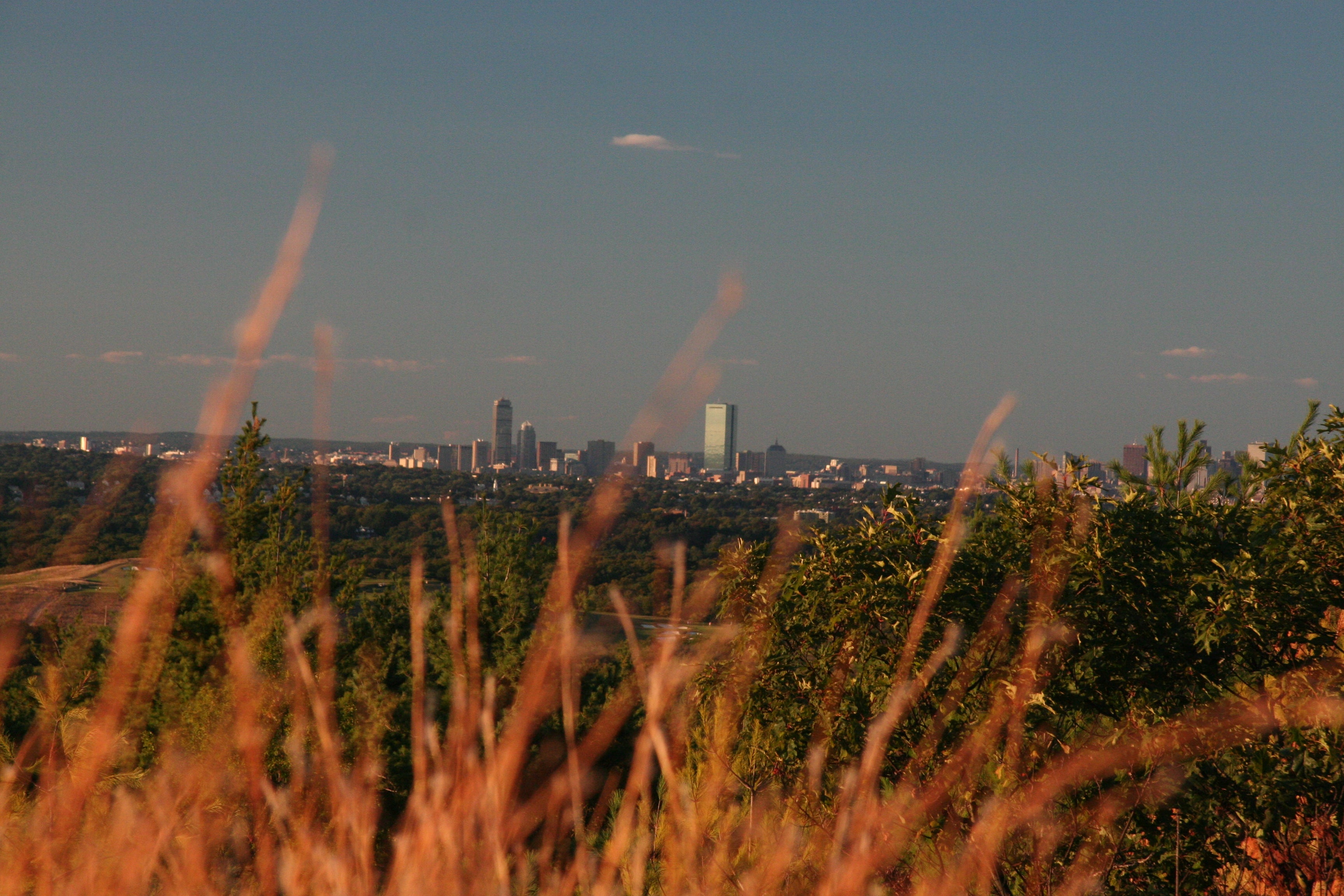
Climb the observation tower and take in the Boston skyline in the distance. From the sea, European explorers noticed the bluish hue of the slope from a distance. Continue on to the weather observatory station, then turn left onto South Skyline Trail and follow the blue blazes to return to your starting point.
Miles from city center: 16
INFO: (617) 698-1802; mass.gov/dcr
-Hike adapted from AMC’s Best Day Hikes Near Boston, by Michael Touglas (AMC Books)
Waypoints
Blue Hills Reservation
Location: 42.2097434997559, -71.0973052978516
Headquarters parking area