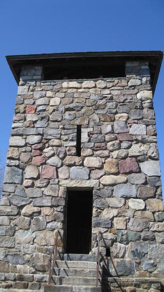
Boston, MA: Blue Hills Skyline Trail Loop

-Photos by Michael Blair

Trail Facts
- Distance: 9.7
Waypoints
S000
Location: 40.4061699, -76.8183804
S001
Location: 40.4082672, -76.8098058
S002
Location: 40.4098128, -76.8063894
S003
Location: 40.4109391, -76.7994184
S004
Location: 40.4138127, -76.7872093
S005
Location: 40.4143888, -76.782688
S006
Location: 40.4144599, -76.782156
S007
Location: 40.4151271, -76.7801249
S008
Location: 40.4178797, -76.7817154
S009
Location: 40.4195422, -76.7825984
S010
Location: 40.421067, -76.7827505
S011
Location: 40.422356, -76.7834172
S012
Location: 40.4227955, -76.7834961
S013
Location: 40.4253269, -76.7849709
S014
Location: 40.4278506, -76.7857033
S015
Location: 40.4275857, -76.7864187
S016
Location: 40.4265192, -76.7882287
S017
Location: 40.4214454, -76.8058954
S018
Location: 40.4021949, -76.8379484