Published September 20, 2013 03:26PM
Boston: Ispwich Water Trail
Paddle this 11.5-mile loop through open bays and protected salt marshes to beaches with giant sand dunes and historic buildings from the late 1700s.
'Ekaterina Chernetsova (Papchinskaya)'
Trail Facts
- Distance: 18.4
Waypoints
IPS001
Location: 42.6987152099609, -70.7922134399414
Launch from N end of beach, then head SE toward Castle Neck, passing red marker #10
IPS002
Location: 42.6918678283691, -70.7798309326172
L at swimming beach leading to historic Crane Estate; continue SE along exposed coast, with Castle Neck on R
IPS003
Location: 42.6895713806152, -70.7666473388672
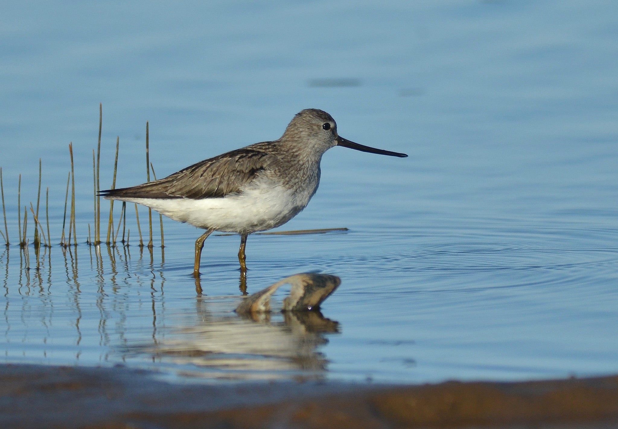
Atlantic winds form sand dunes on S end of Crane Beach-?home to piping plovers, herons, egrets, sandpipers. Caution: Whitecaps can form around sandbars
IPS004
Location: 42.670783996582, -70.7301025390625
Paddle R around SE tip of Castle Neck; good picnic pull-over. Turn W to enter Essex River, then WNW toward Choate Island. Sidetrip: Dock on NE side, explore
IPS005
Location: 42.6632347106934, -70.745719909668
Paddle toward SE tip of Choate; bear L, head clockwise around island
IPS007
Location: 42.6736335754394, -70.7699661254883
Turn L, heading W along Castle Neck River with Castle Neck on R; continue along main channel with salt marshes on L
IPS008
Location: 42.6724510192871, -70.7836151123047
ADVERTISEMENT
R @ T; take narrow, unmarked channel (Fox Creek) under bridge; best traveled within 2-3 hours of high tide
IPS009
Location: 42.6804733276367, -70.7852554321289
L @ T; continue following Fox Creek
IPS010
Location: 42.6840515136719, -70.7880477905274
R @ end of Fox Creek, marked by Little Neck peninsula
IPS011
Location: 42.693733215332, -70.7886505126953
L around SE tip of Little Neck; continue NNW, return to Pavilion Beach
IPS006
Location: 42.6642417907715, -70.7679672241211
Detour: Explore small bay, salt marshes off NNW side of Choate, then bear R around N side toward Castle Neck. Keep map handy; maze of channels tests nav skills