Bonners Ferry, ID: Two Mouth Lakes

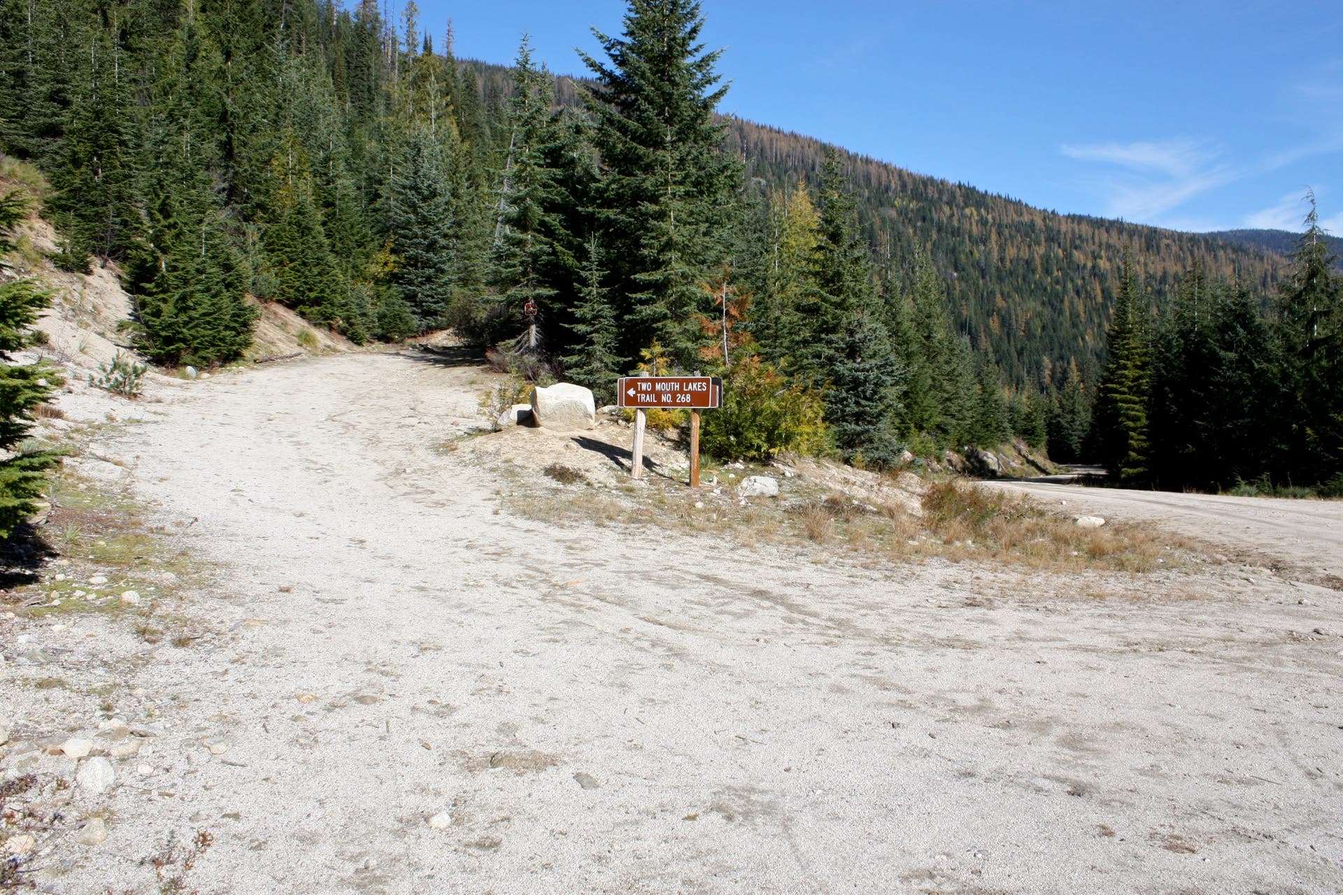
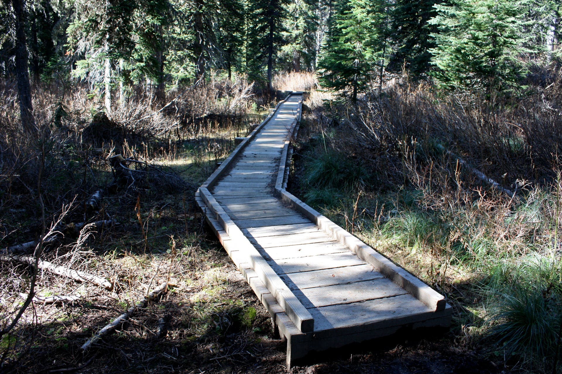
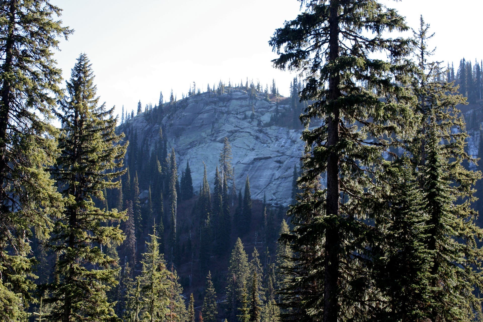
From the dirt pullout off Forest Road 663, pick up Two Mouths Trail #268 as it meanders north along an old logging road. Swing to the west as the trail traces Peak Creek before bending back to the south. The trail narrows and alternates between dirt and boardwalk while swinging west toward a viewpoint of the granite-faced Selkirk Crest, which you’ll peak at mile 3.6. From the top of the Crest, notch spectacular vistas of glacier-carved peaks to the north and down-valley views toward Bonners Ferry to the east.
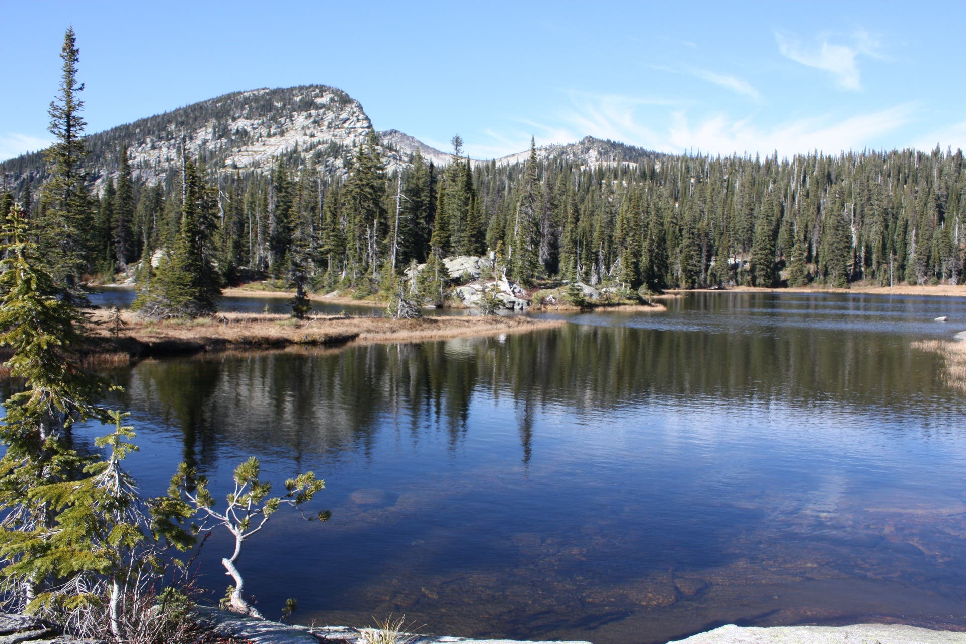
Drop into the boulder-blasted marshlands to the east before forking right toward Lower Two Mouth Lake. Pass by campsites along the lake’s pristine eastern shore before following a spring-fed creek south to the upper lake. The upper lake is wider and deeper, but its shoreline is shrouded by trees and sweeping slabs of granite. Several campsites dot the lake’s shoreline, but only one sits directly on the water. Return to the trailhead via the route you hiked in on.
-Mapped by Travis Lesicka
Trail Facts
- Distance: 13.8
Waypoints
TML001
Location: 48.720131, -116.625195
Leave your car in the dirt pullout off Forest Road 663 and head north on Two Mouths Lake Trail #268. The trail starts by follows an old logging road.
TML002
Location: 48.725666, -116.629078
Bear left to follow the sign pointing to Two Mouth Lakes. The sign says the lakes are five miles away, but the distance is actually closer to four.
TML003
Location: 48.716691, -116.635516
Upon reaching a large rock bisecting the trail, bear right. The left fork leads to a dead end.
TML004
Location: 48.710614, -116.651716
Bear right at Y-junction: the left fork leads to Upper Two Mouth Lake, which you’ll circle up to from the lower lake.
TML005
Location: 48.708111, -116.653411
Large enough to fit several tents, this prime campsite is situated next to the lake, but high enough to stay dry.
TML006
Location: 48.705845, -116.649141
Perched on the western shore of the upper lake, this large campsite is best when dried out in late summer.
TML007
Location: 48.705442, -116.648002
This site sits about 25 feet above the water, but is big enough for only one tent.
TML008
Location: 48.70615, -116.648055
Another site fit for only one tent, this spot is dry despite sitting directly on the lake.
Parking
Location: 48.720117, -116.624808
Parking is available in a dirt pullout off Forest Road 663.
Trailhead
Location: 48.720174, -116.624959
Though unmarked, the trailhead is easy to find.
Boardwalks
Location: 48.718121, -116.647575
Boardwalks comprise part of the trail to the lakes.
Looking South: Selkirk Crest
Location: 48.718043, -116.656609
At mile 3, you’ll catch a glimpse the Selkirk Crest’s granite cliffs. Follow the trail south to climb the Crest.
Slide Creek
Location: 48.71643, -116.660364
Cross Slide Creek as you push upward.
Down-Valley Vistas
Location: 48.715856, -116.659827
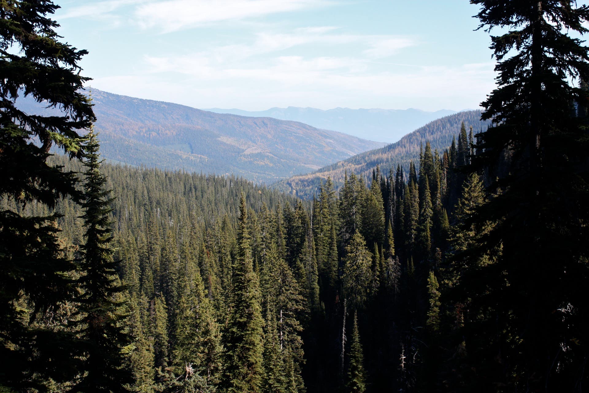
Looking east toward Bonners Ferry.
Granite Cliffs
Location: 48.714468, -116.657338
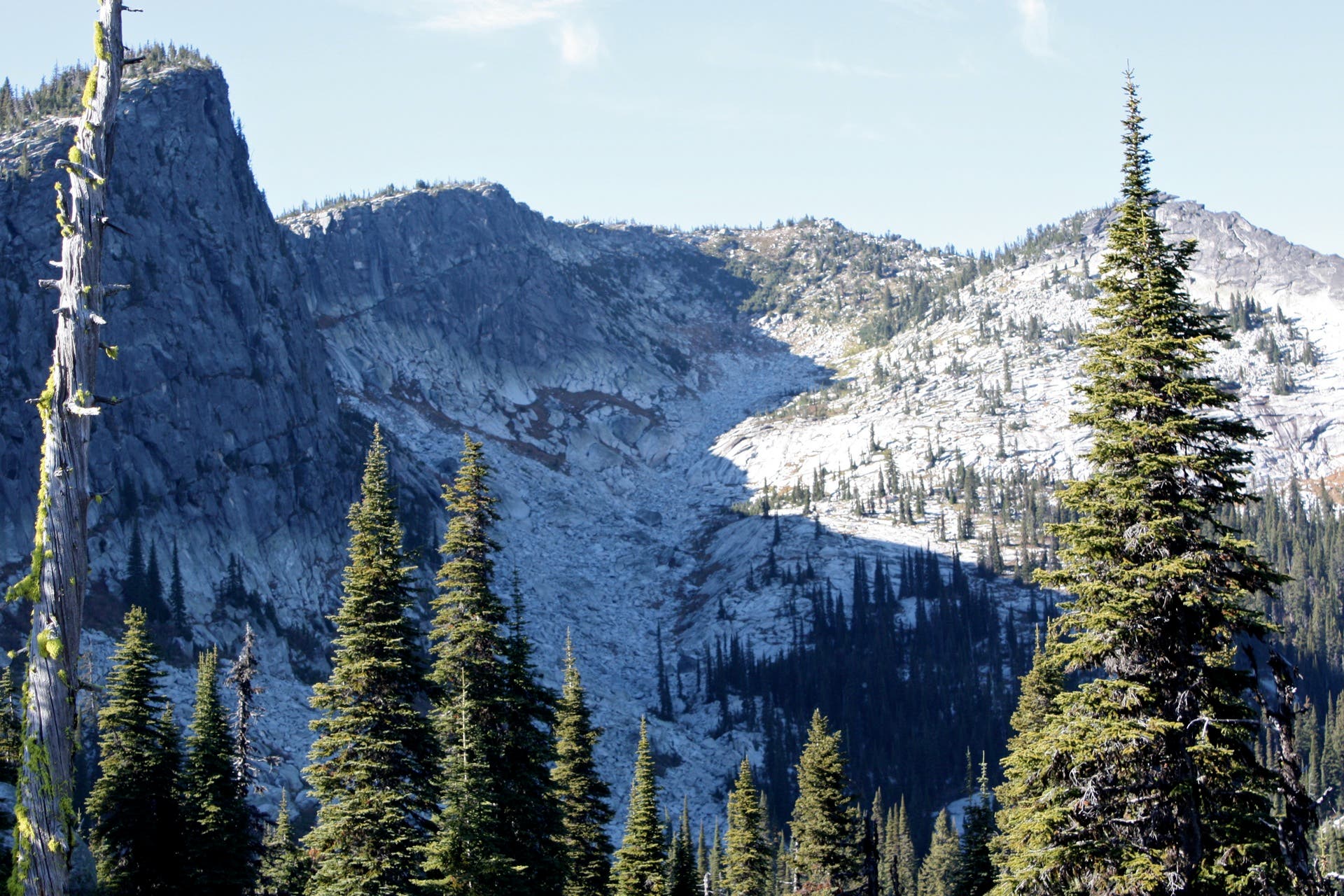
From a ridgetop at mile 3.6, look west for spectacular panoramas of sheer granite faces. Kent Lake rests in a cirque on the west side of the cliffs.
Two Mouth Lakes: First Glimpse
Location: 48.714185, -116.656609
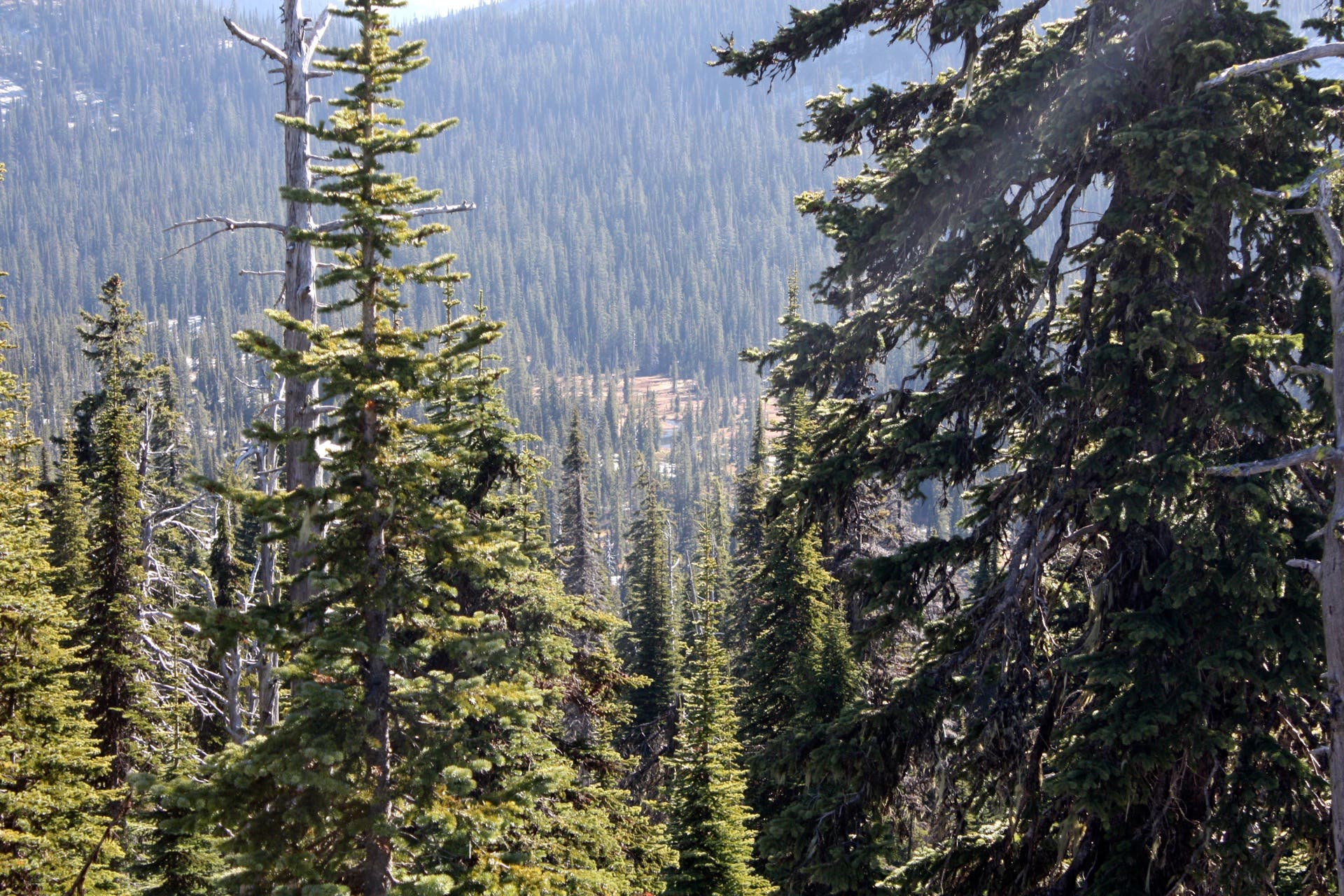
The northernmost of the Two Mouth Lakes comes into view as you summit the Selkirk Crest just past mile 3.6.
Granite Slabs
Location: 48.710677, -116.651706
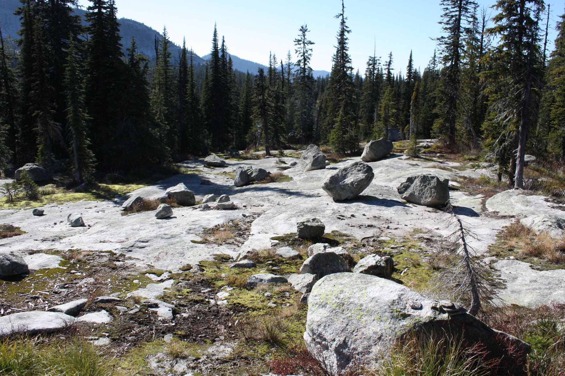
Trek over granite slabs just before forking toward the lower lake.
Granite Kingdom
Location: 48.710575, -116.651571
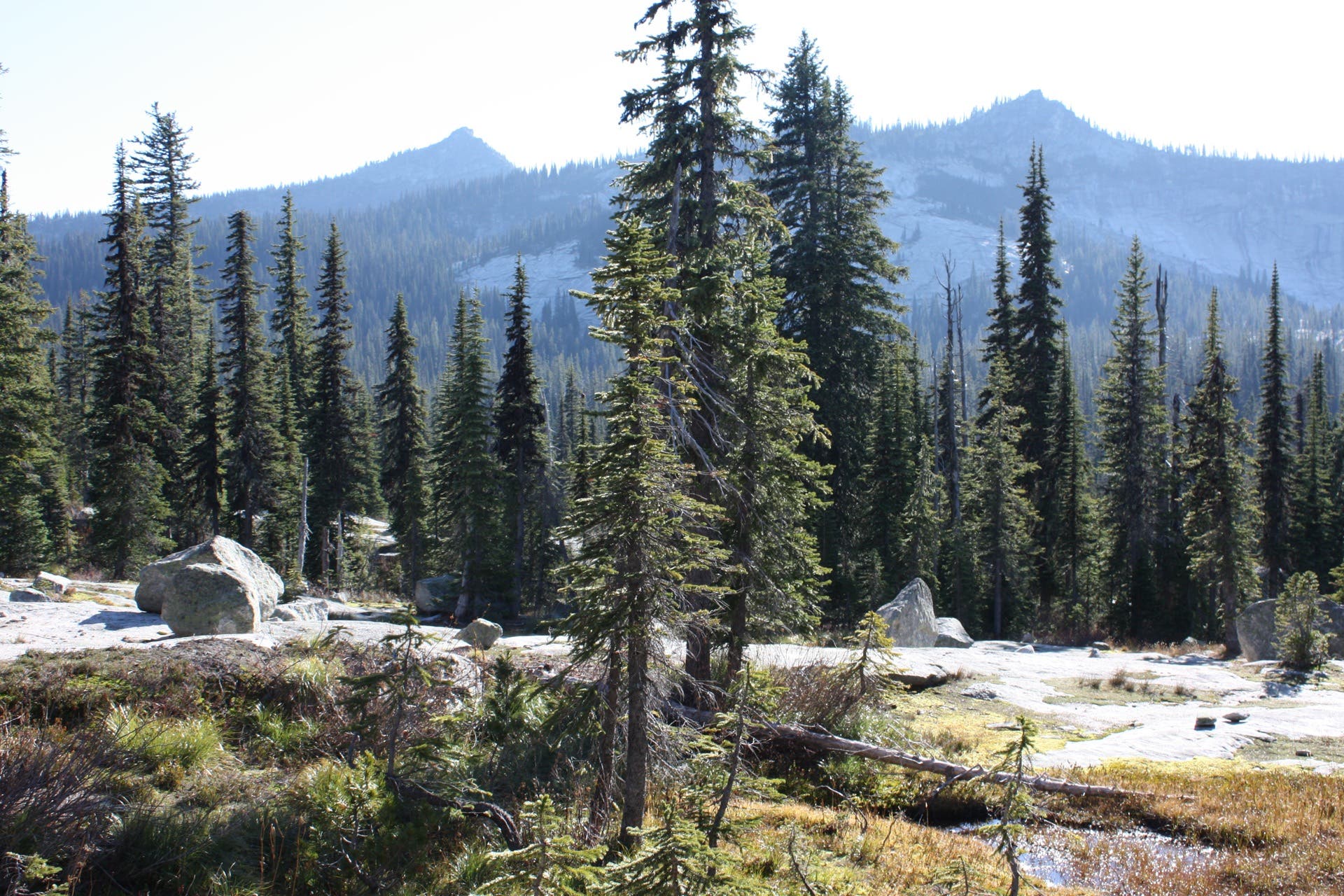
Tree-topped slopes give way to a wonderland of granite as you near the Two Mouth Lakes.
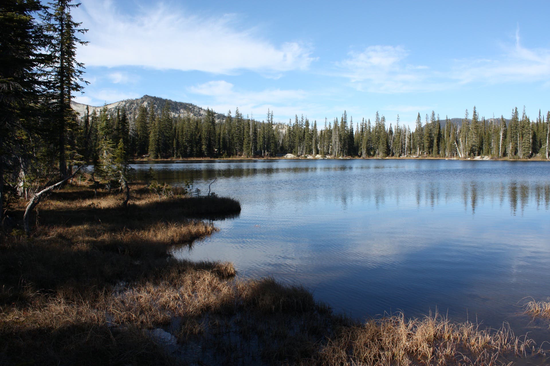
Lower Two Mouth Lake
Location: 48.708295, -116.653476
Looking north across the lower lake.
Meandering Stream
Location: 48.707203, -116.651759
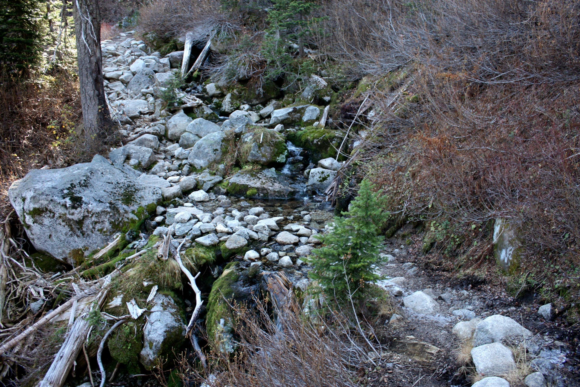
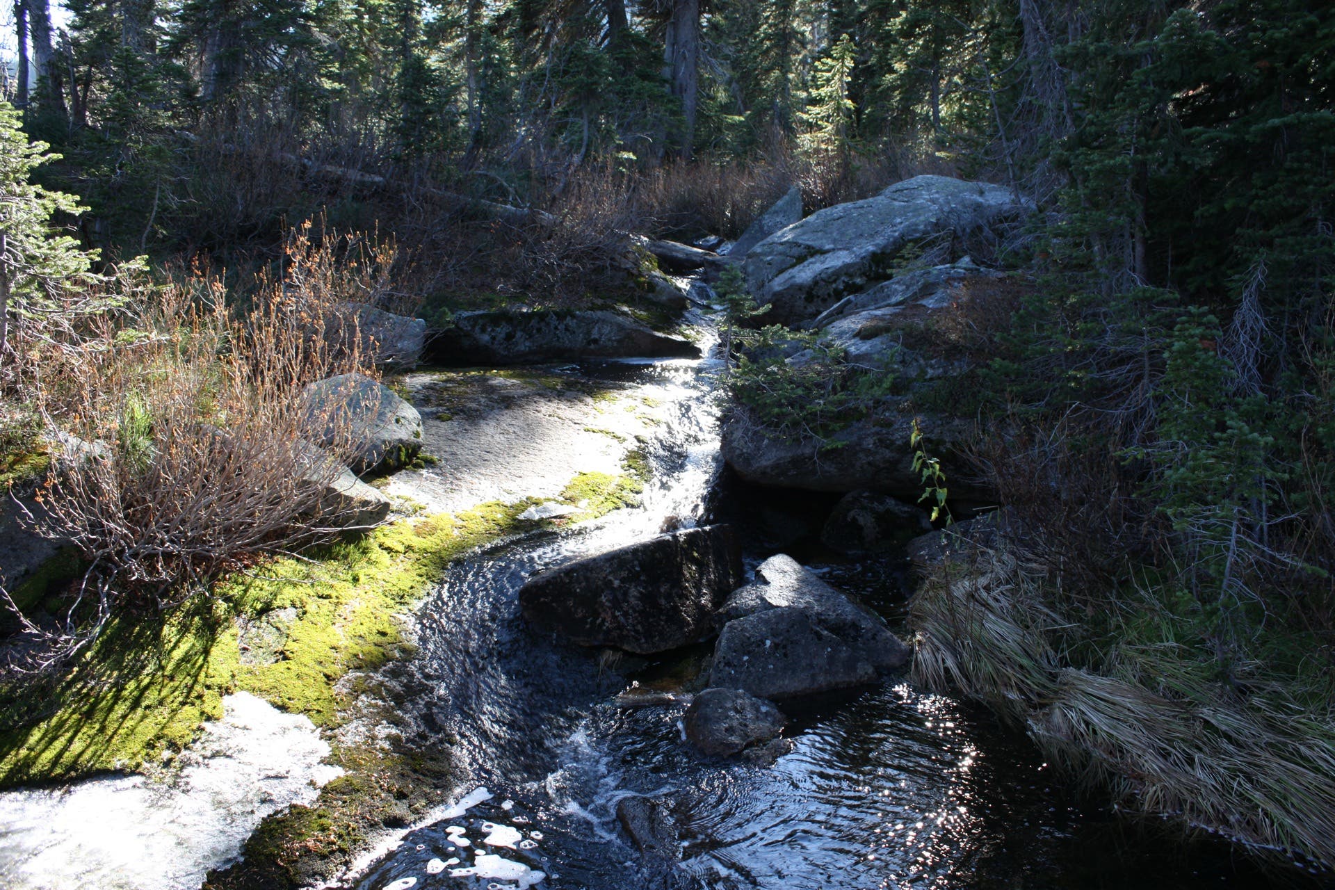
A spring-fed, boulder-peppered stream wanders between the upper and lower lakes.
Upper Lake: South Shore
Location: 48.705265, -116.645794
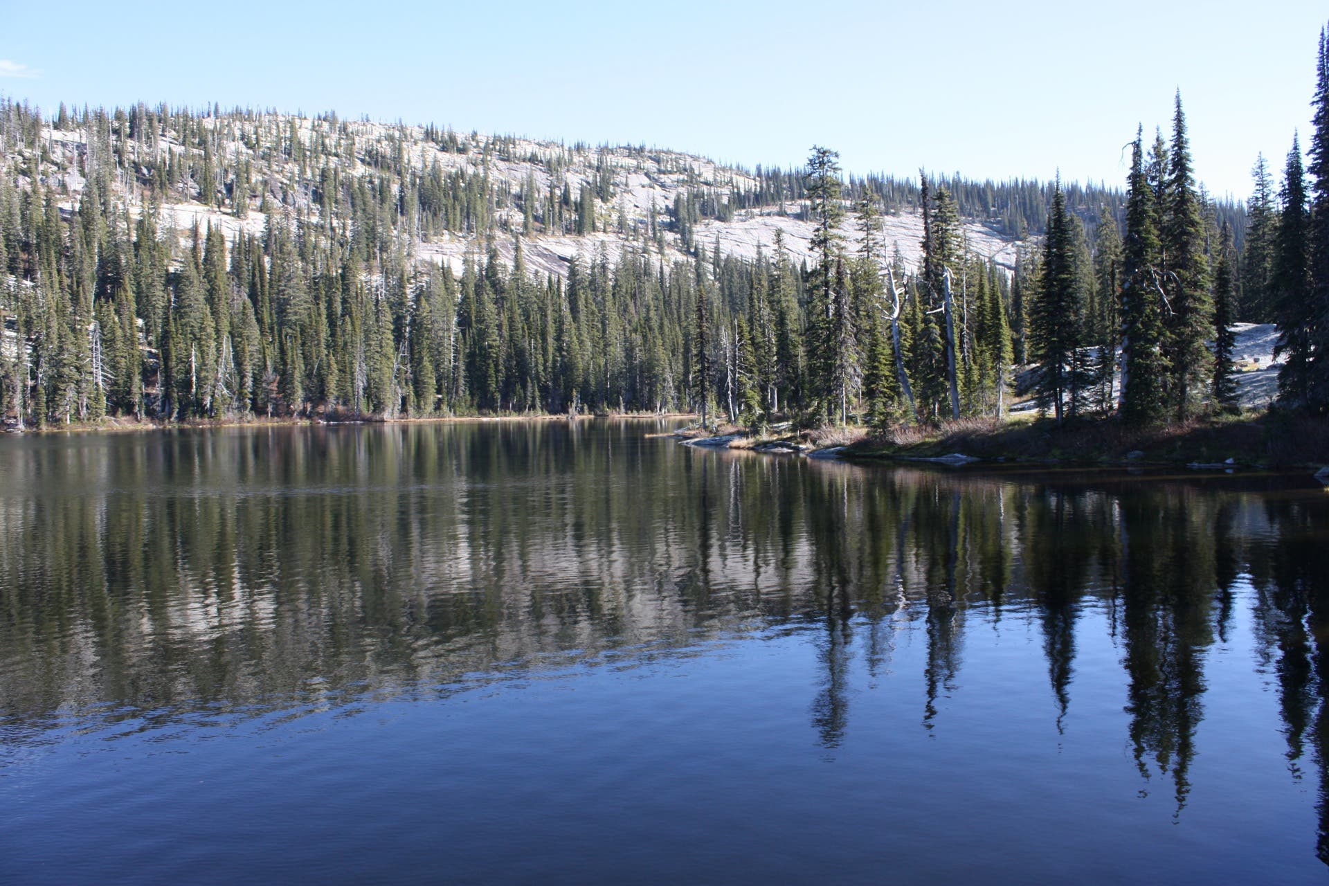
Upper Two Mouth Lake
Location: 48.705774, -116.64809
One of the first views of the upper lake.
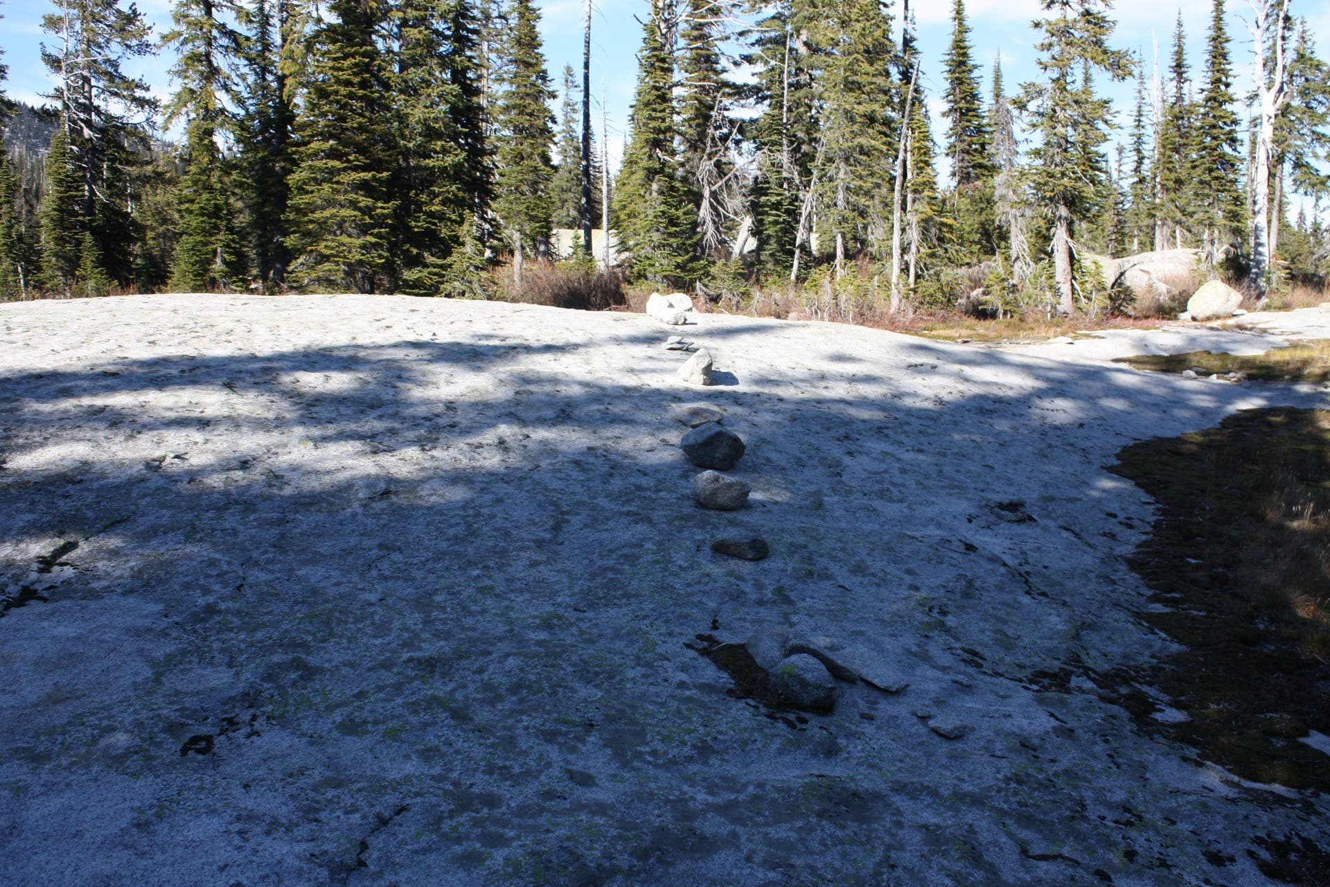
Cairns
Location: 48.707828, -116.649302
The trail to the upper lake slides over granite slabs. Use cairns to stay on track.