Bonners Ferry, ID: Roman Nose Lakes

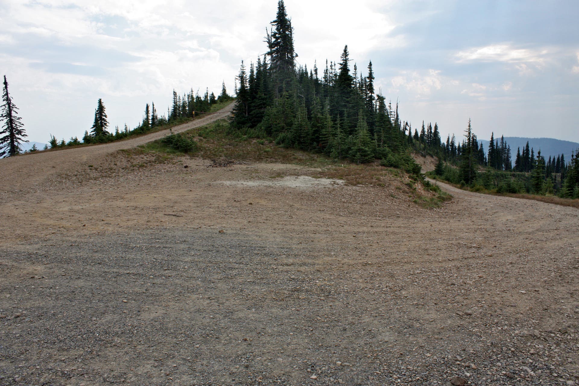
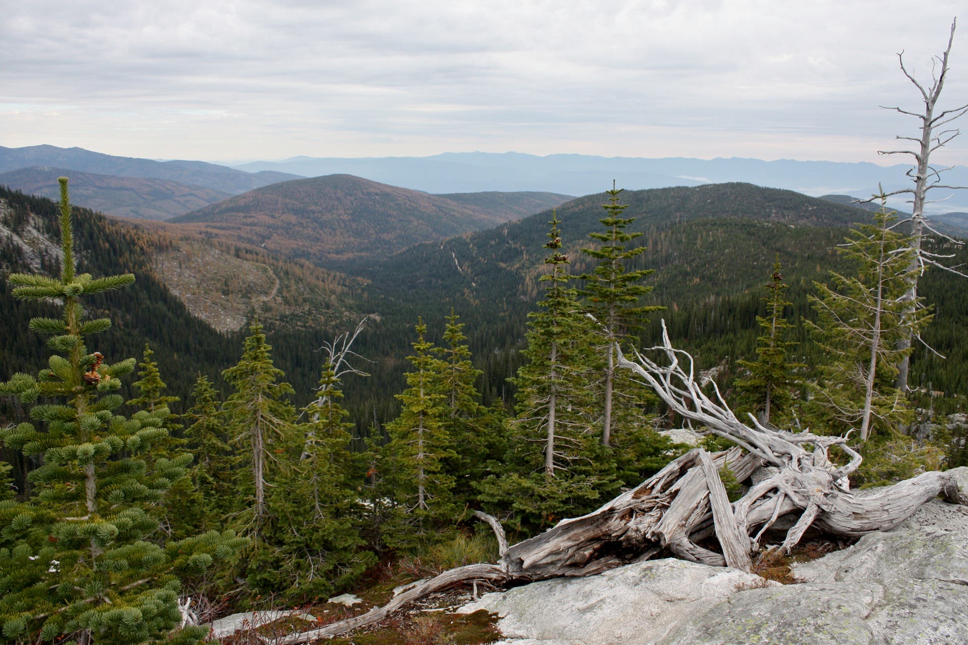
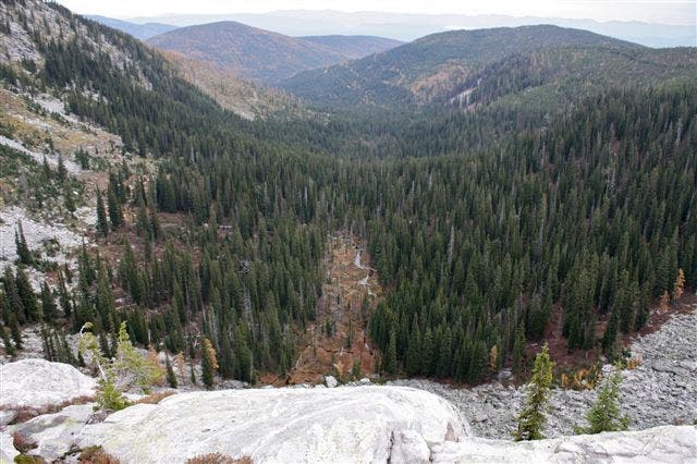
Two trailheads stem from the gravel parking area at the end of Forest Road 2667: pick up the one closer to the middle of the lot to head west and uphill. Bear right at each of the first two junctions before climbing toward a ridgetop offering expansive panoramas of the Snow Ridge spanning the eastern horizon. Dip downhill toward the junction with the Lower Roman Nose Lake trail. After forking right to descend toward the lower lake, scramble across open granite slabs to reach a cliff-top vantage point offering sweeping panoramas of the Caribou Creek framed by sloping, tree-blanketed ridges.
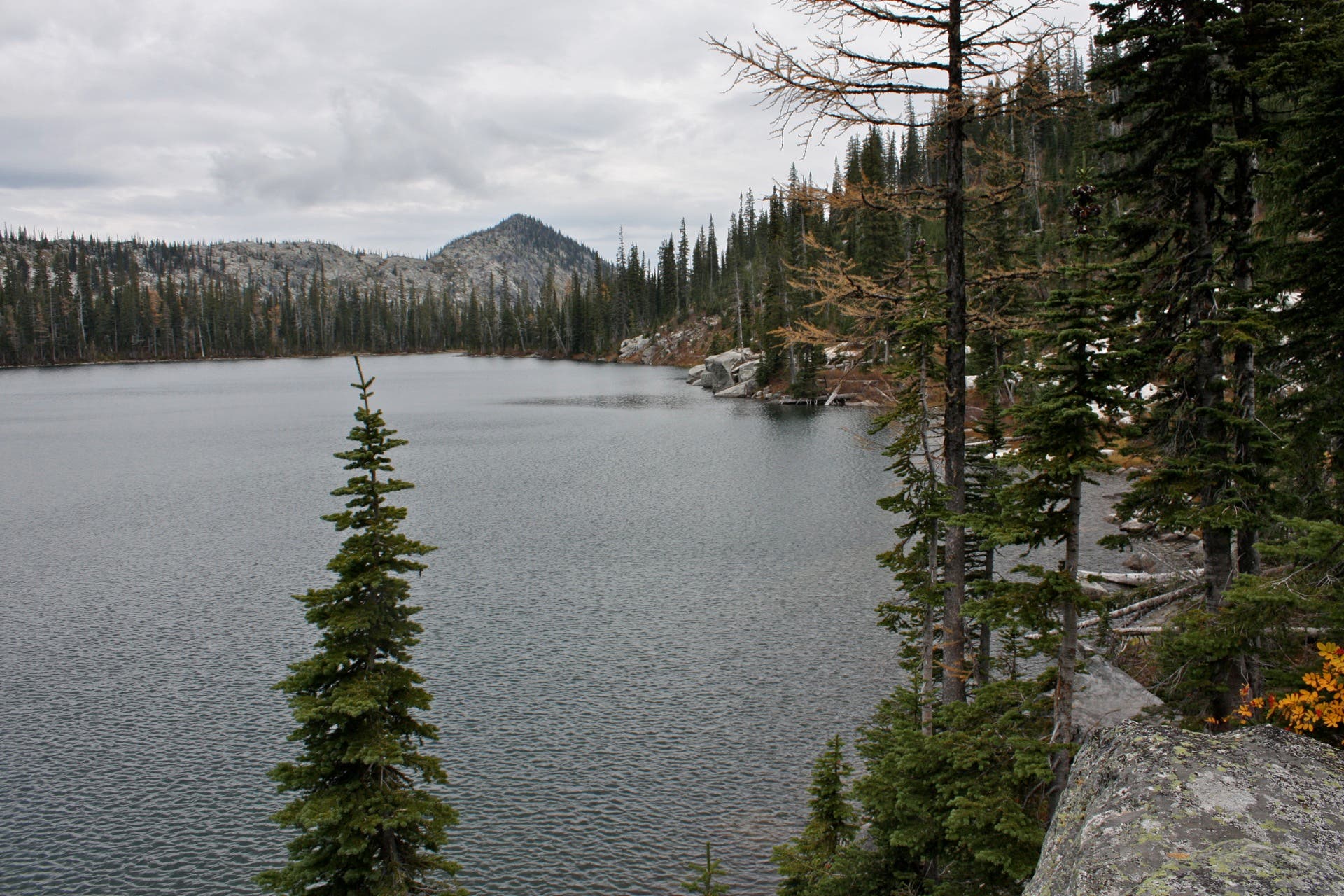
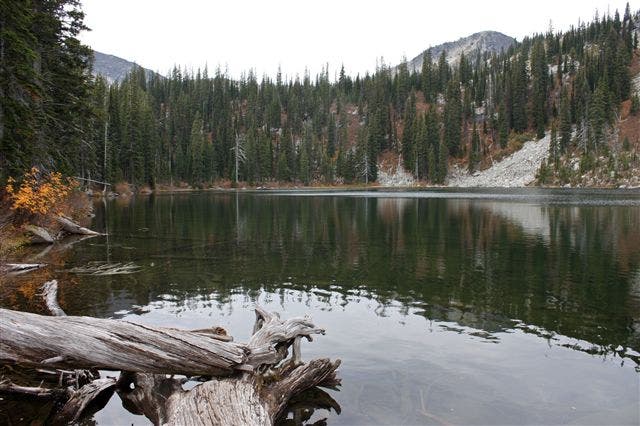
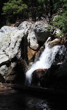
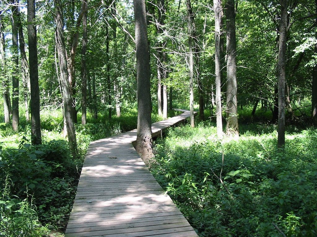
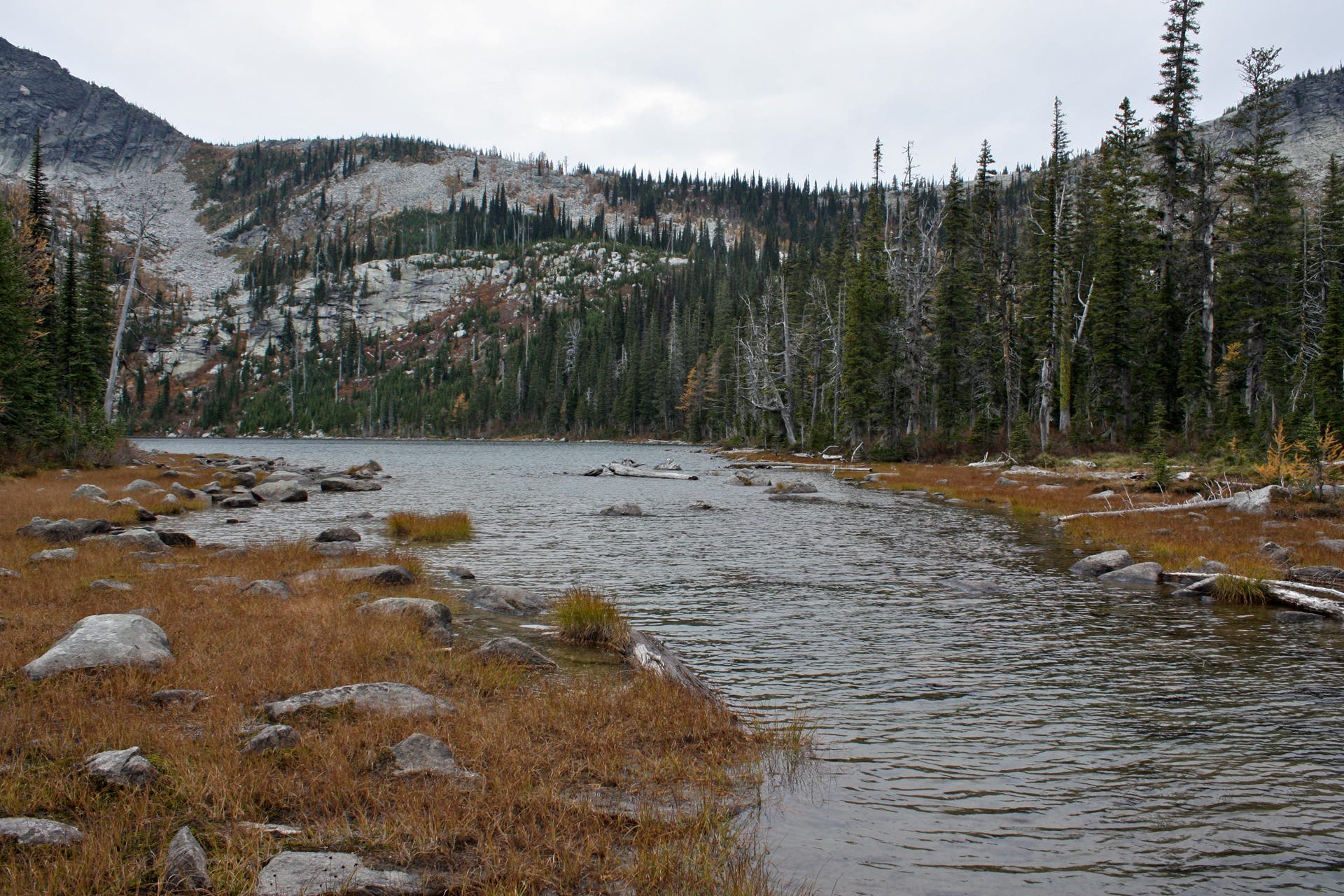
Continue downhill to reach the southern shore of the picturesque Lower Roman Nose Lake, which offers several prime campsites. Make your way over the lake’s southwestern edge to access a high waterfall fed by Upper Roman. Turn around to loop back to waypoint RNL005 and tackle the hike to the higher lake. Along the way, you’ll climb through a root-infested trail before planking through a boardwalk-bisected marsh at the lake’s eastern tip.
Like Lower Roman, the upper lake serves up several picturesque campsites: the best site, perched 20 feet above the water at the lake’s southern tip, serves up phenomenal lake views. Turn around to head downhill via the loop’s southern fork before reconnecting with the original trail less than 0.5 mile from the trailhead.
-Mapped by Travis Lesicka
Trail Facts
- Distance: 6.0
Waypoints
RNL001
Location: 48.635036, -116.57125
Head west from the parking lot to get started.
RNL002
Location: 48.634851, -116.572924
Bear right at the Y-junction.
RNL003
Location: 48.636064, -116.574056
Bear right at the Y-junction to head uphill. The left fork also leads uphill, but bypasses the quicker fork to Lower Roman Nose Lake.
RNL004
Location: 48.636885, -116.578585
Bear right at the Y-junction to head downhill toward the Lower Roman Nose Lake cutoff trail.
RNL005
Location: 48.636751, -116.579812
The right fork heads downhill toward Lower Roman Nose Lake, while the left fork pushes to Upper Roman Nose Lake. To descend to Lower Roman, head to the waypoint labeled LRN001: otherwise, head uphill to RNL006.
LRN001
Location: 48.637092, -116.580477
Turn right to descend toward a cliff-top vista of Lower Roman Nose Lake.
LRN002
Location: 48.638198, -116.580627
The trail spills onto several large slabs of granite. Look for cairns.
LRN003
Location: 48.641147, -116.581657
Turn left. The right fork becomes a dead end in about 20 feet.
LRN004
Location: 48.639786, -116.583309
This campsite next to the lake offers space for about two tents, as well as a fire pit encircled by log benches.
LRN005
Location: 48.639658, -116.584017
Reach a waterfall spilling into the lake’s southwest corner. Then turn left to loop back uphill.
LRN006
Location: 48.636737, -116.579812
Turn right at the four-way junction to push toward Upper Roman Nose Lake.
RNL006
Location: 48.63634, -116.580391
The trail is blasted with a series of roots as it twists upward.
RNL007
Location: 48.635328, -116.587462
This campsite, featuring several large, flat spots, is the first of several you’ll find along Upper Roman’s eastern shore.
RNL008
Location: 48.632313, -116.58906
This tiny campsite, nestled between large granite slabs, has only enough room for one tent.
RNL009
Location: 48.63176, -116.590025
The best spot on Upper Roman Nose, this large, open campsite offers prime panoramas of the lake from a ledge 20 feet above the water.
RNL010
Location: 48.633958, -116.588073
Turn left at the Y-junction to loop downhill.
RNL011
Location: 48.63583, -116.578546
Bear right at Y-junction.
RNL012
Location: 48.635617, -116.578395
Bear left at Y-junction to head downhill.
RNL013
Location: 48.635925, -116.574141
Close the loop and head downhill by bearing right at the Y-junction.
Upper Roman Nose Lake: Southern View
Location: 48.631889, -116.589873
Notch spectacular vistas of Upper Roman from granite slabs at the lake’s southern tip.
Parking Area
Location: 48.634983, -116.57118
Leave your car in the spacious gravel lot at the end of Forest Road 2667.
Eastern Panoramas
Location: 48.636681, -116.577923
From the hike’s first ridgetop, look east for a view of Snow Ridge spanning the horizon.
Canyon Vista
Location: 48.638935, -116.580219
Look northeast from this high cliff vantage point for awe-inspiring vistas of Caribou Creek sneaking through a deep canyon.
Lower Roman Nose Lake
Location: 48.641105, -116.581893
Notch postcard-like panoramas of Lower Roman Nose Lake while traversing its southern shoreline.
Waterfall
Location: 48.639687, -116.583953
Trek to the lake’s southwestern trip for a glimpse of this cascade.
Boulder Field
Location: 48.636085, -116.582472
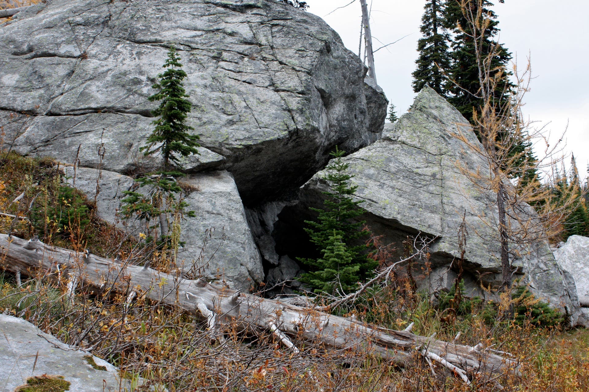
Negotiate your way through a field of gigantic boulders as you scramble toward Upper Roman Nose Lake.
Boardwalk
Location: 48.636053, -116.586088
Use this boardwalk to cross through the marshes east of Upper Roman Nose Lake.
Upper Roman Nose Lake
Location: 48.635798, -116.587011
At its eastern edge, Upper Roman Nose Lake empties into a small creek spilling into Lower Roman Nose Lake.