Published September 20, 2013 04:57AM
Boise, ID: Upper Hulls Gulch
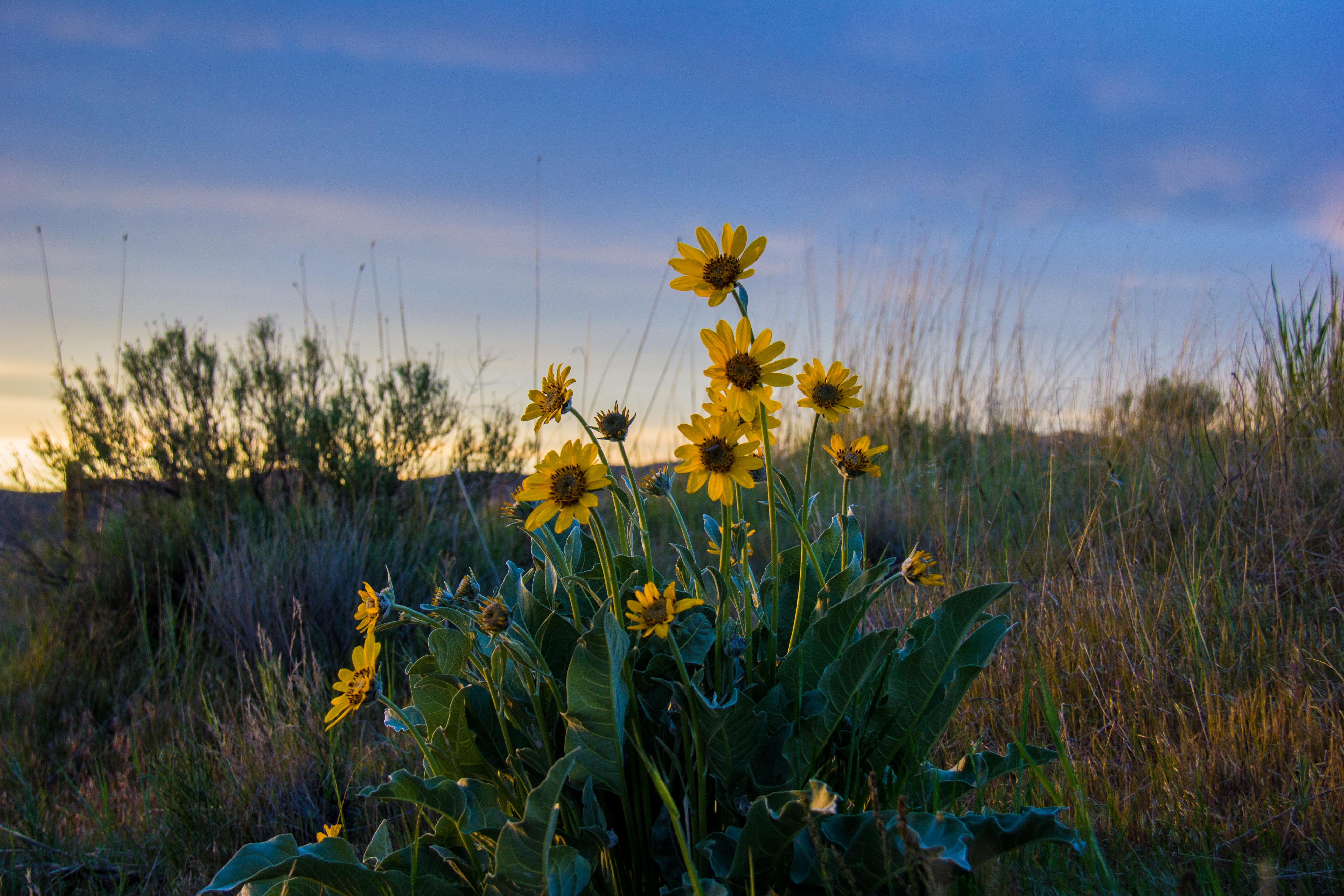
This 6.3-mile, out-and-back dayhike with an upper loop section explores a quiet desert creek valley and leads to hillsides covered in wildflowers in late spring and views of the Boise skyline and Foothills and the Owyhee Mountains across the Boise River Valley.
'BLMIdaho'
Start and finish at the large Hulls Gulch parking area on 8th Street, three miles up from the point where the street changes from pavement to gravel. The parking lot serves multiple users, including mountain bikes and dirt bikes, but only hikers and runners are permitted on the Upper Hulls Gulch Trail, which begins at the upper (north) end of the parking lot. (Alternatively, there’s a turnout with space for six vehicles about a quarter-mile farther up 8th Street; you can pick up the trail there.) This interpretive trail has several signboards along it which describe the flora, fauna, and natural history of the area. Wildlife from mule deer to rattlesnakes and occasionally elk are seen here, usually in early morning and evening. The trail begins at 3,800 feet, climbs about 1,000 feet in elevation, and is generally dry from April through October; it may be snow-covered (though rarely deep snow) from November through March.
Trail Facts
- Distance: 10.2
- Miles from city center: 5
Waypoints
142
ADVERTISEMENT
Location: 43.6506144, -116.1468192
143
Location: 43.665015, -116.1177206
144
Location: 43.6690483, -116.1124181
145
Location: 43.6689816, -116.1174665