Published September 20, 2013 03:31PM
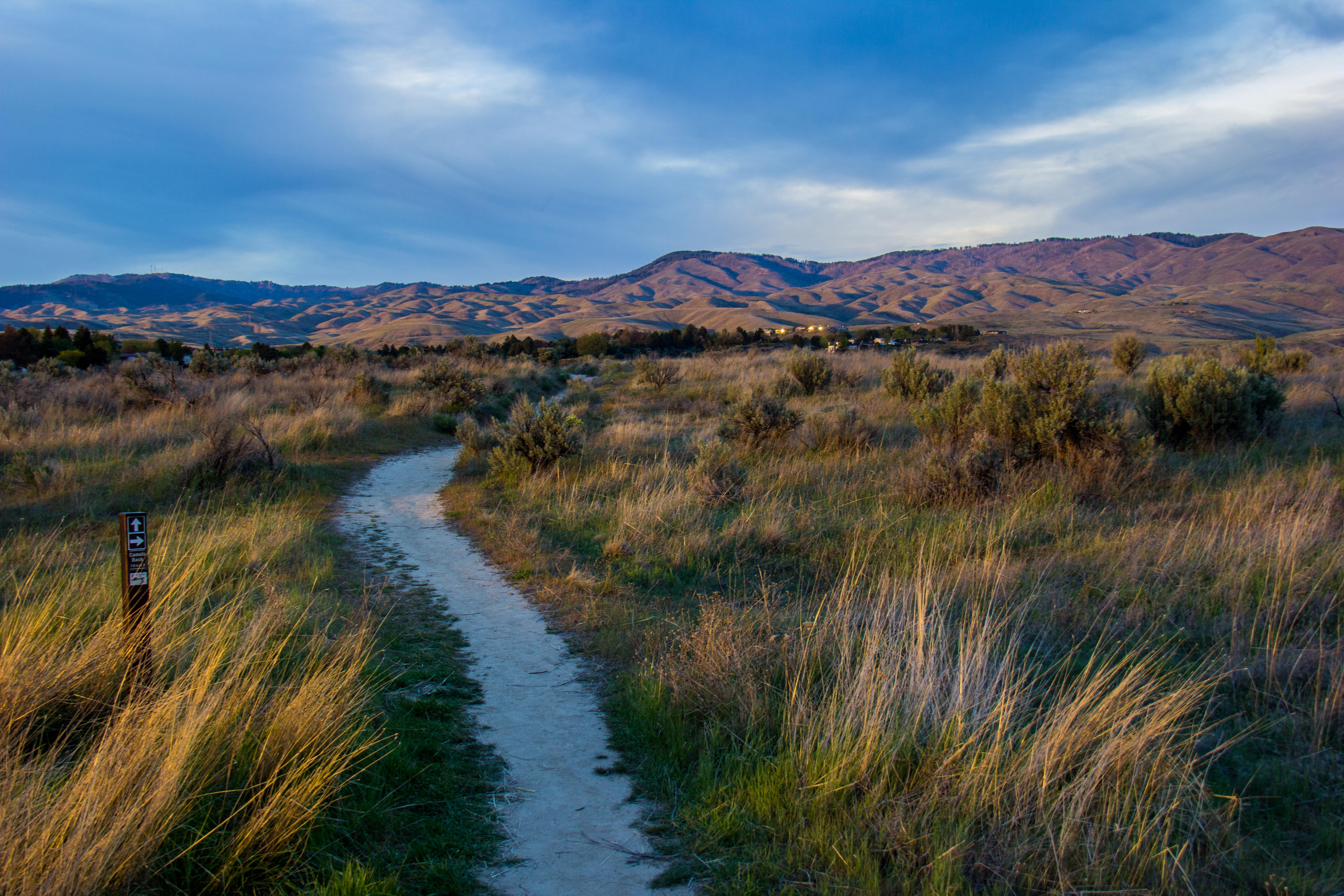
Boise, ID: Lower Hulls Gulch Loop
Just on the outskirts of town, this 7-mile foothills loop climbs to 3,570 feet with big views of Boise before returning alongside a trickling stream.
'BLMIdaho'
Trail Facts
- Distance: 10.8
- Miles from city center: 2
Waypoints
LHG001
Location: 43.6389541625977, -116.194000244141
Trailhead for Trail 37
LHG002
Location: 43.6395606994629, -116.192321777344
Bear R @ Y, staying on Trail 37
LHG003
Location: 43.6411476135254, -116.183242797852
R @ T onto Trail 39a
LHG004
Location: 43.6411361694336, -116.178039550781
L @ Y then up the hill
LHG005
Location: 43.6424331665039, -116.178024291992
R onto Trail 39
LHG006
Location: 43.6410713195801, -116.17268371582
Superb view of Hulls Gulch and parts of Boise
LHG007
Location: 43.6398658752441, -116.165420532227
L @ Y onto Trail 28
LHG008
Location: 43.6427841186523, -116.159378051758
Small shady area under trees; good rest spot
LHG009
Location: 43.6472129821777, -116.146209716797
L @ T onto Trail 29, following Hulls Gulch
Option: To extend hike, turn R here and follow trail into upper Hulls Gulch
LHG010
Location: 43.6425971984863, -116.184761047363
Cross 8th St.; R onto Trail 36
LHG011
Location: 43.6381187438965, -116.198387145996
Bear L @ Y
LHG012
Location: 43.6369972229004, -116.197692871094
Turn L to head back to trailhead