Published September 20, 2013 02:32PM
Boise, ID: Kepros Mountain
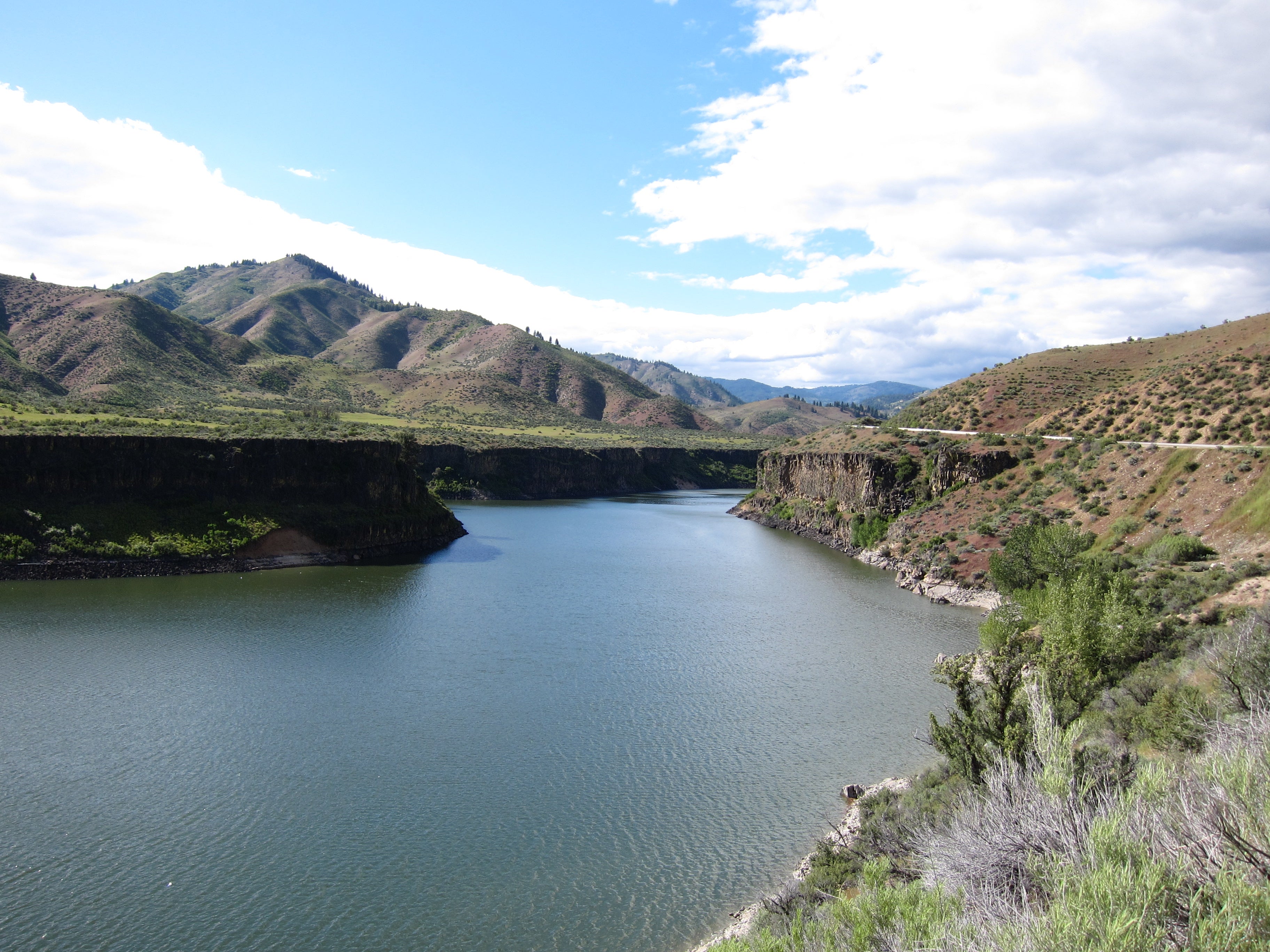
This 9.1-miler follows a windswept ridge in the Danskin Mountains and ends with views of Boise, the Arrowrock Reservoir, and surrounding peaks.
'Stephen Hanafin'
Trail Facts
- Distance: 7.4
- Miles from city center: 24
Waypoints
KMT001
Location: 43.510803, -115.926186
Follow singletrack trail up the gulch to the SW
KMT002
Location: 43.510353, -115.927589
Trail passes large tractor tires used as livestock water tanks on the L
KMT003
Location: 43.509926, -115.933937
Turn R; trail crests ridgeline. The next 1.5 mi. runs up a wavy ridgeline with many steep ups and downs, including several unnamed high points
KMT004
Location: 43.512077, -115.934723
Keep NNW
KMT005
Location: 43.514416, -115.936844
Trail crosses saddle and takes in excellent views N to Kepros Mountain
KMT006
Location: 43.518845, -115.934517
High point yields views E down into headwaters of Grouse Creek
KMT007
Location: 43.52372, -115.935547
360° view of green sagebrush hills stretching across Danskin Mtns.
KMT008
Location: 43.527866, -115.942131
Turn R where trail connects with rough jeep road
KMT009
Location: 43.55328, -115.939705
Begin final 500-ft. climb up steep slopes; timbered drainage to the SE is Fir Creek
KMT010
Location: 43.560081, -115.939507
ADVERTISEMENT
Kepros Mountain (5,428 ft.): Watch the shadows of clouds drift over brown valleys and rounded peaks. Try to identify Arrowrock Reservoir (SE), Bogus Basin Ski Resort (NW), and the Snake River Plain (S). Return on same route